There are walks where the more bridges we cross, the less we feel like going home. The Struilitsa eco-trail near Devin — officially “Struilitsa – Kaleto – Lakata” — is exactly that sort. It runs alongside the Devin River, dives into a narrow canyon and finds a reason to stop us at every bend. Two waterfalls, an old fortress, an abandoned hamlet and so many wooden and metal bridges that at some point we simply give up counting. Read on and I’ll tell you how it went for me 🙂
As usual, I was after the less popular version, so I didn’t walk it in the textbook order. That’s just how I do things. The route starts 2–3 km from the centre of Devin, at the “Struilitsa” mineral pools — here’s the car park at the start of the eco-trail. Since everyone online tells it slightly differently, I’ll give you both my own order and the most commonly walked variants, so you can pick for yourself 😀
| Length | about 5 km (my loop version) |
| Time needed | allow about 2 hours and 30 minutes — unhurried, with breaks, photos and the detours to both waterfalls |
| Difficulty | easy to moderate |
| Elevation gain | a little over 200 m in total |
| Altitude | the car park sits at around 700 m; Kaleto and the viewing platform above it at around 900 m |
| Route type | loop (there is also a shorter there-and-back option) |
| Best season | spring to autumn; for full waterfalls, April–May or right after rain |
| Good for children | yes — most of it is flat and follows the river, though the waterfall detours are steeper |
| Parking and fees | free parking in front of the “Struilitsa” pools, no entry fee for the eco-trail |
The Devin River canyon at a glance
If you’d rather see the area from above first, here are Devin, Vacha and Krichim from a bird’s eye view in 4K. And in more detail about the Vacha River and the little town of Krichim.
Before we set off — a small legend to set the mood, because I’m only human and this place has one too. It’s told on the board at Samodivsko Praskalo, and it goes roughly like this:
When the Ottomans took the fortress of Kaleto, three young women fled into the darkness along a secret path. So that they would not be caught, they braided their hair together and jumped into the waters of the river — and ever since, the waterfall has been called Samodivsko Praskalo, the Fairies’ Spray.
Romantic, tragic and suitably grim — exactly as any self-respecting Rhodope legend ought to be 🙂 And so it doesn’t stay at the level of fairy tales: the waterfall is around 70 m high in total (two drops, of 25 and 45 m) and is generally counted as the second highest in the Rhodopes after Slivodolsko Padalo. I checked, just in case.
Struilitsa: the car park and the start
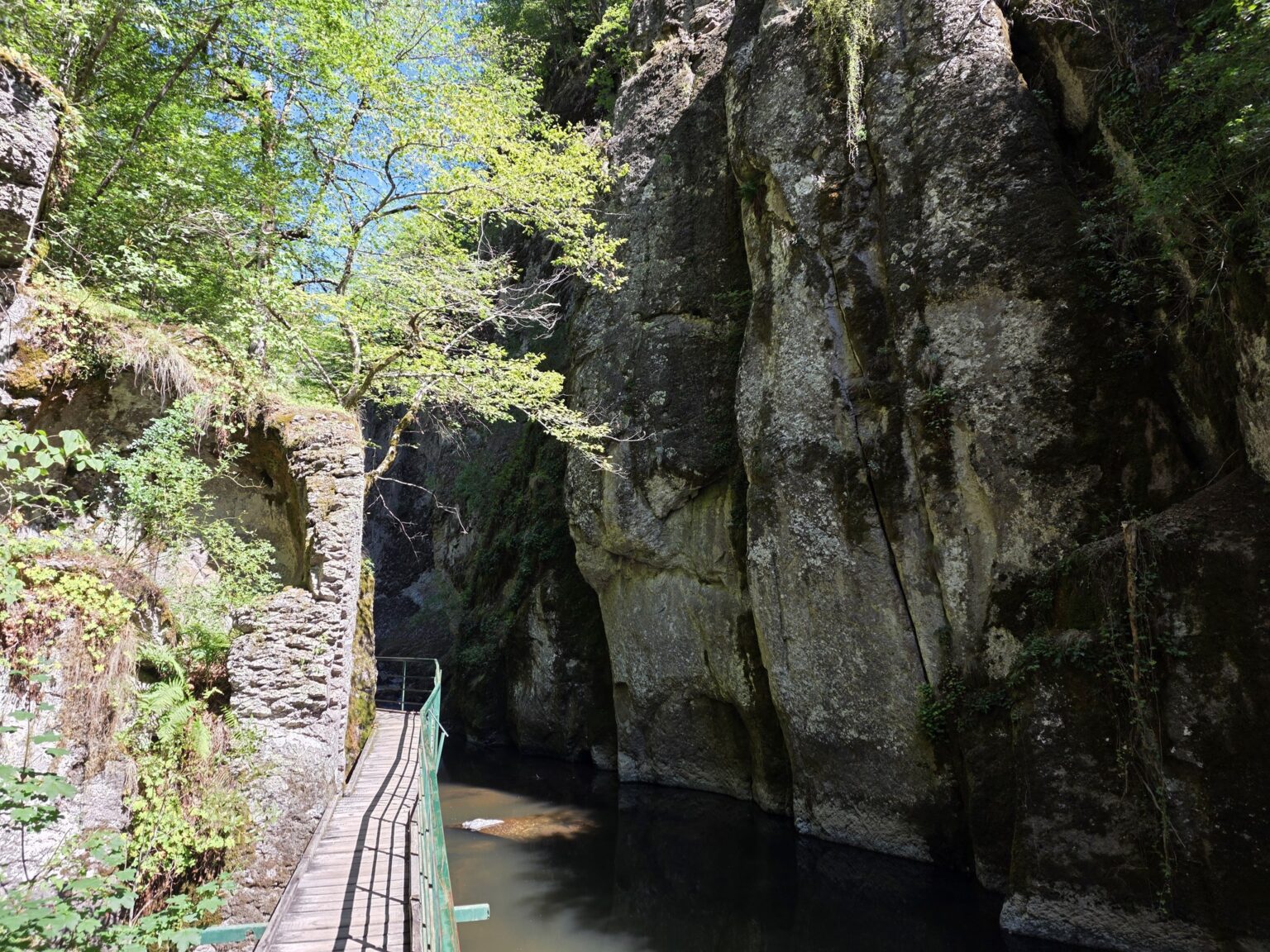
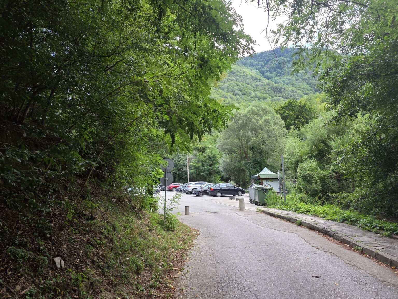
We start from the car park in front of the “Struilitsa” mineral pools. There’s room for the car, there’s mountain, there’s blue sky — the classic opening, where everything looks suspiciously easy. And here comes the first small surprise: barely 2–3 minutes from the car park there’s a pool where someone has thought about the guests’ peace of mind and put up a fence that cuts the sightlines, even though a fair number of people walk past on the trail. So we get to soak without feeling like a shop window display.
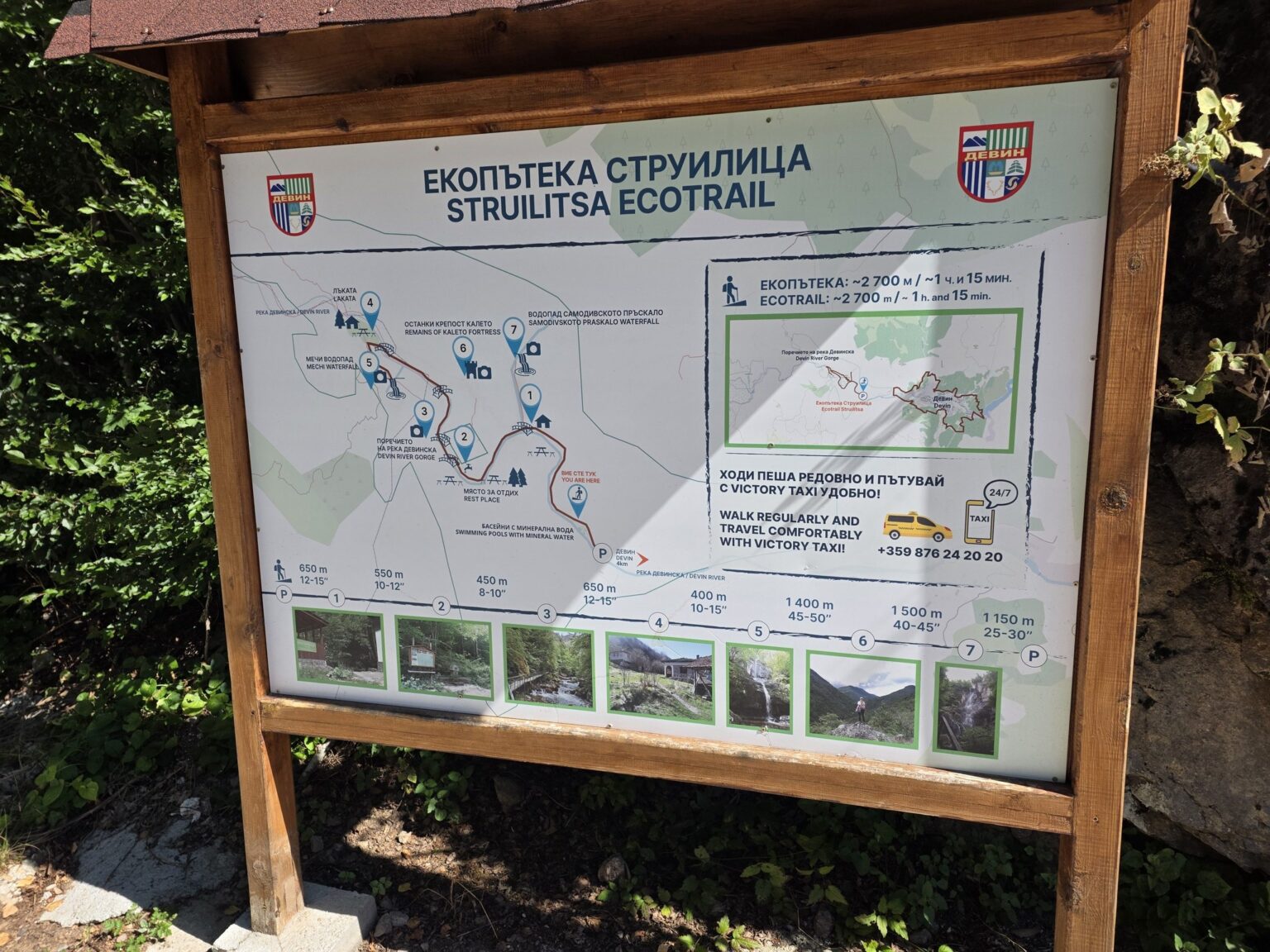
Devin is a spa town first and a hiking town second, by the way — it turns up in our top 10 Bulgarian resorts with natural hot springs, if warm water interests you more than wooden bridges. A little further on, a board greets us listing everything we can reach from here: Kaleto, Lakata, both waterfalls. I’ll admit it — I didn’t follow the order. But that’s why we’re here: so I can tell you how it actually goes, not how the textbook says it should 😀
The canyon, the bridges and the heart of the walk
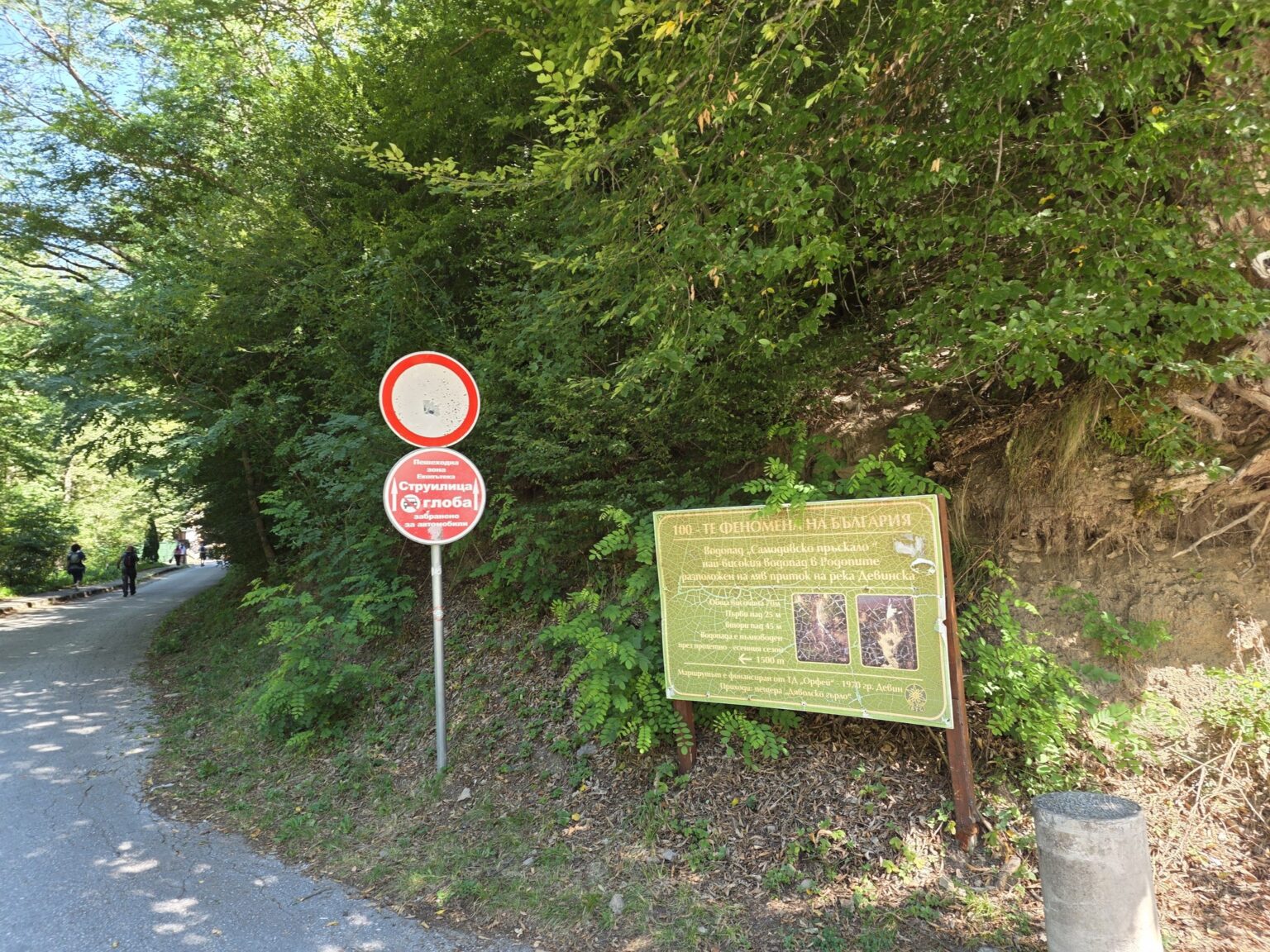
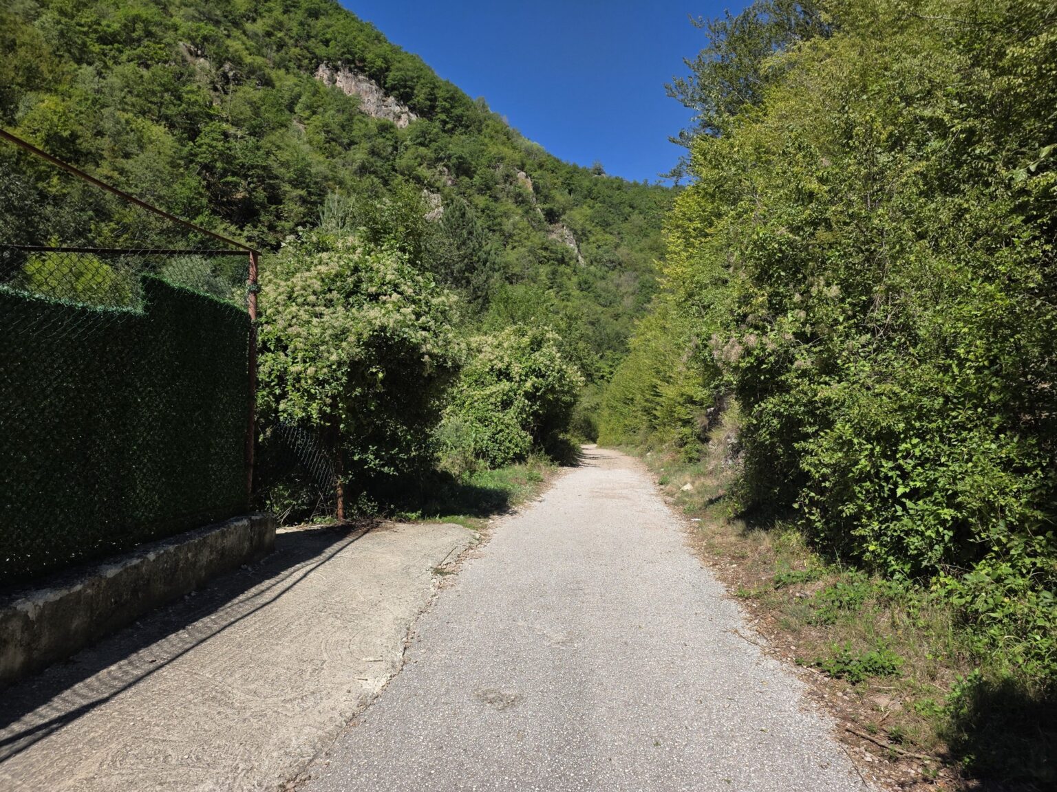
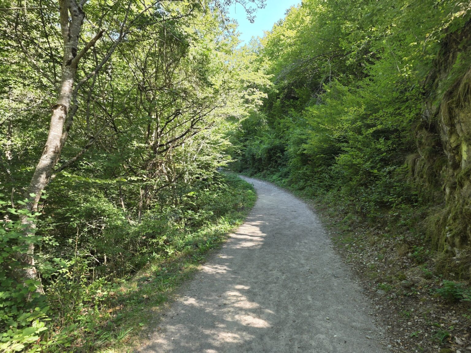
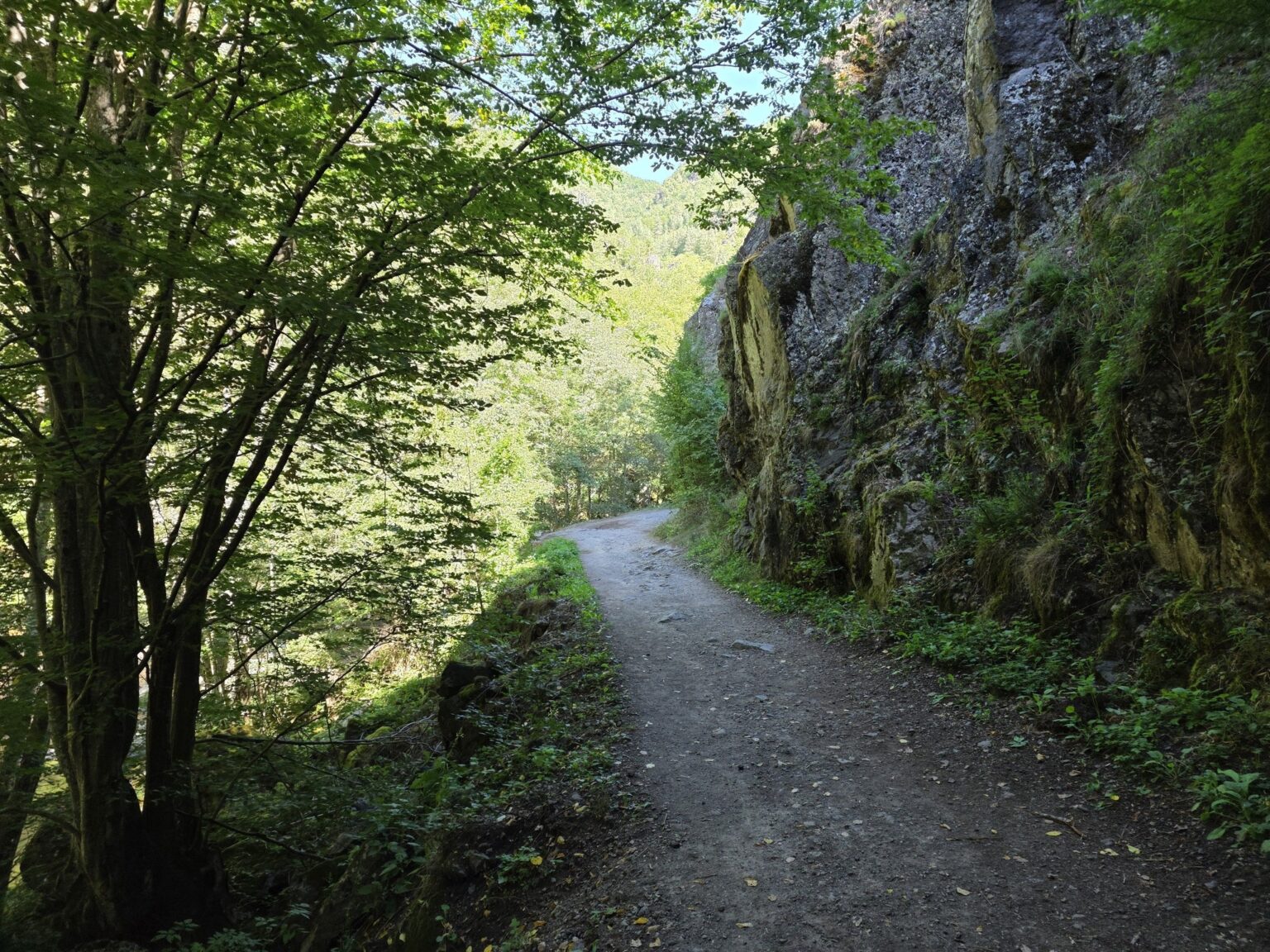
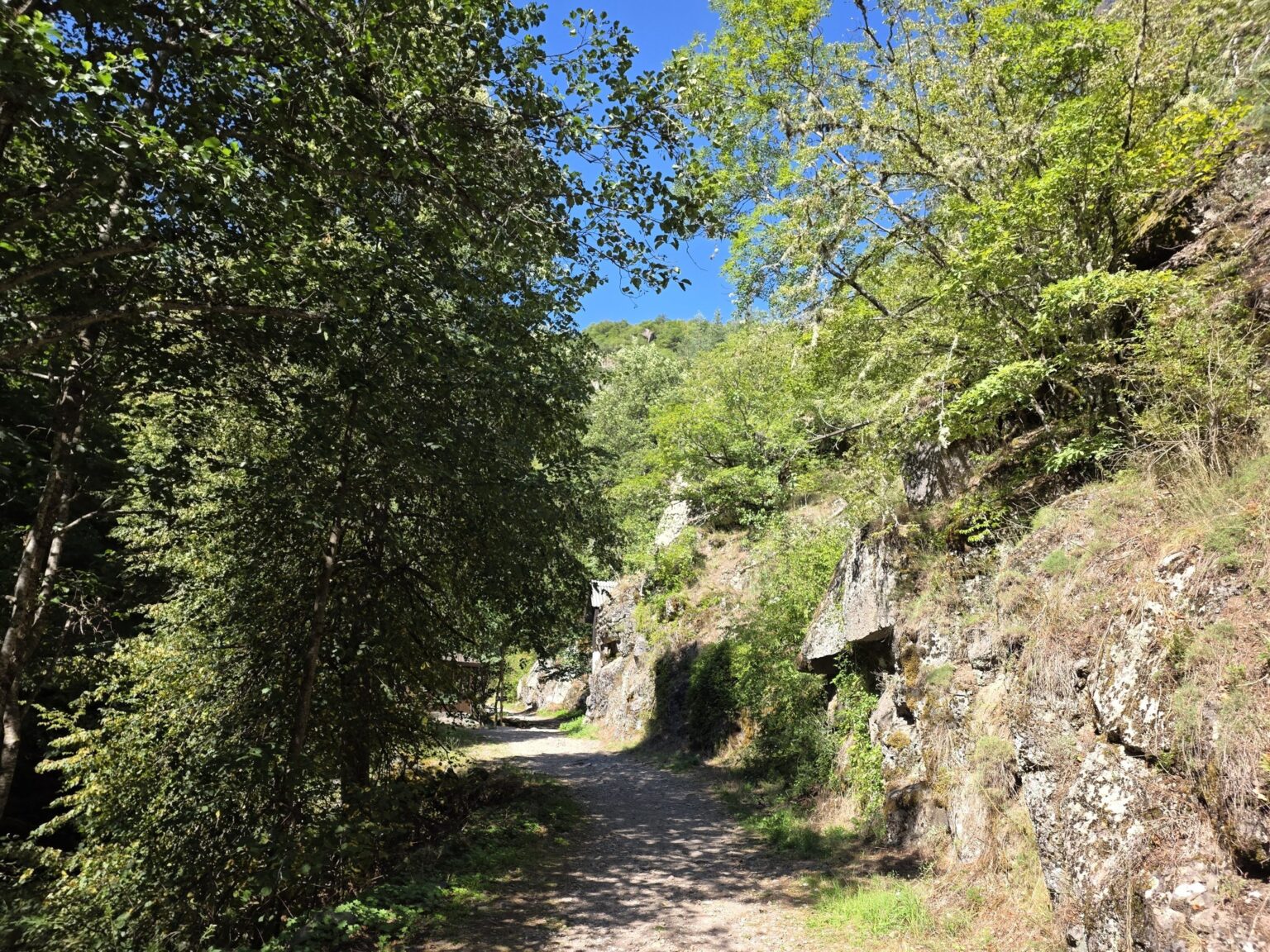
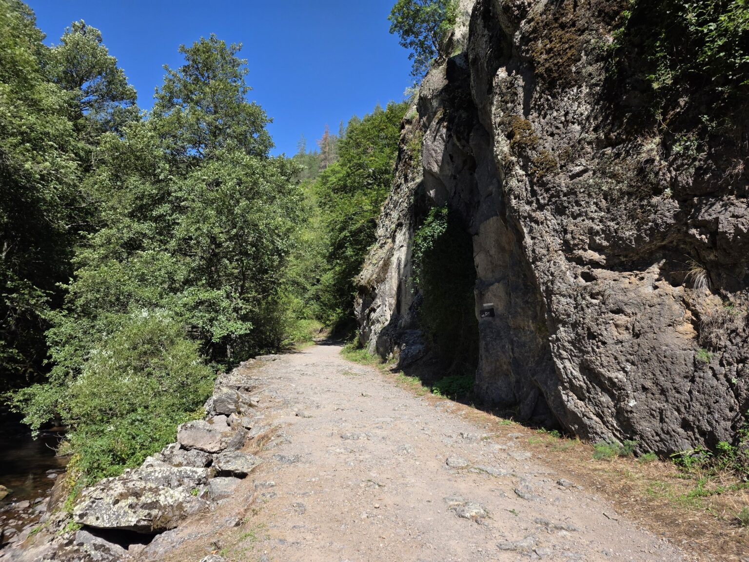
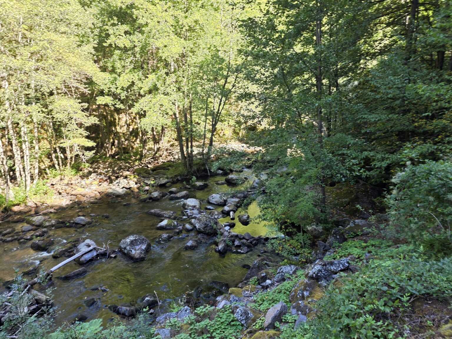
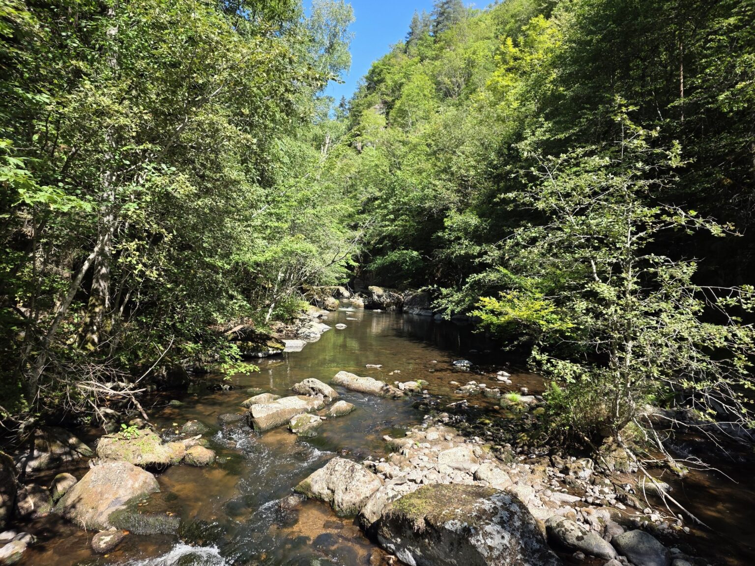
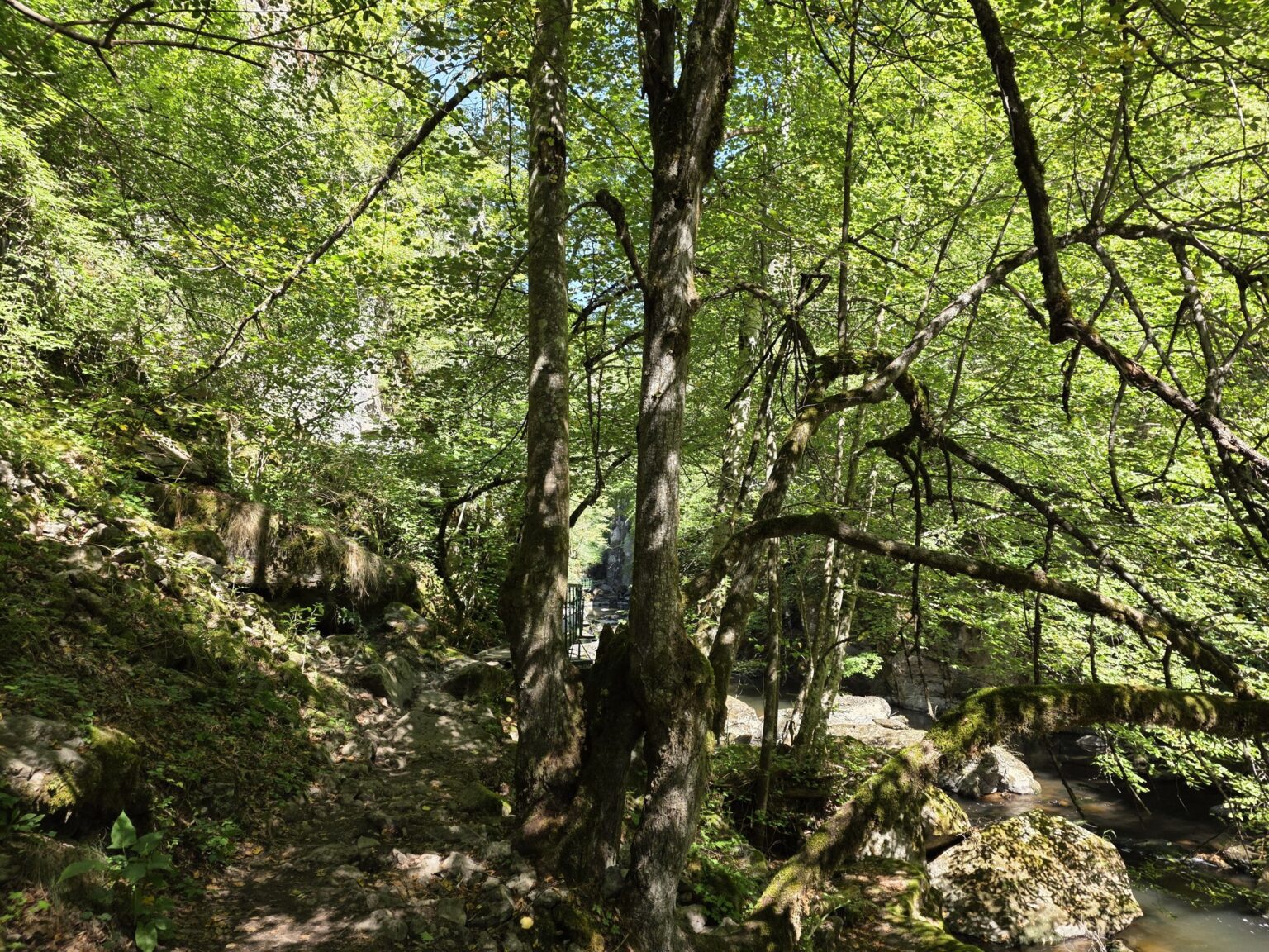
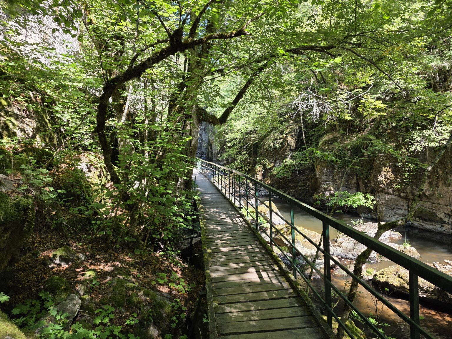
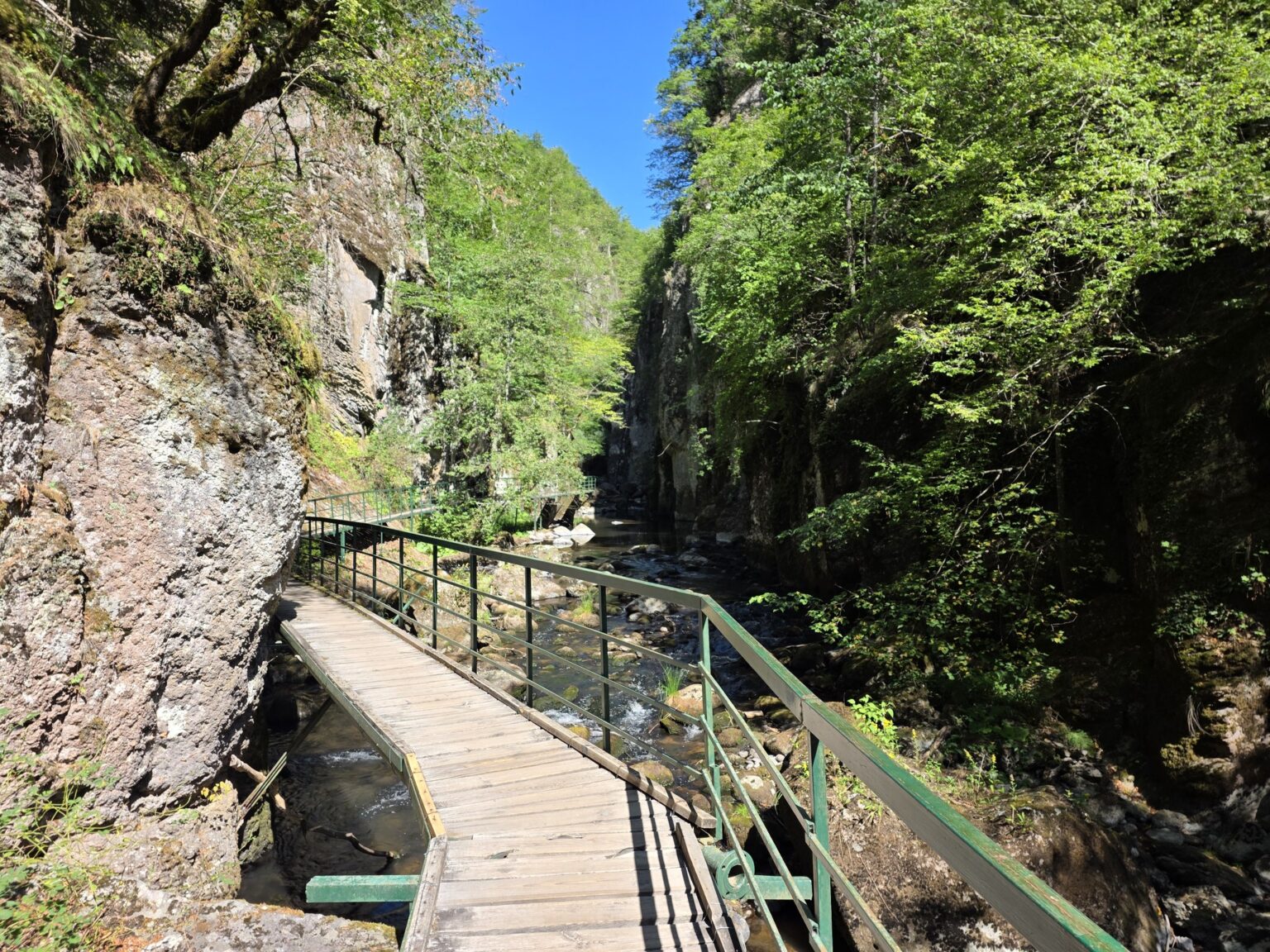
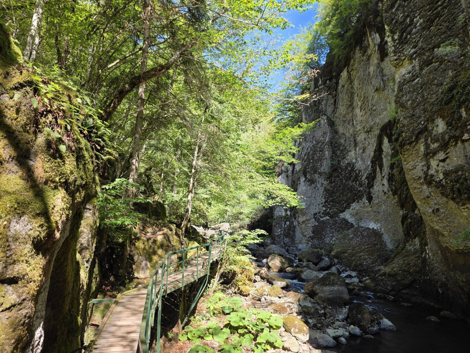
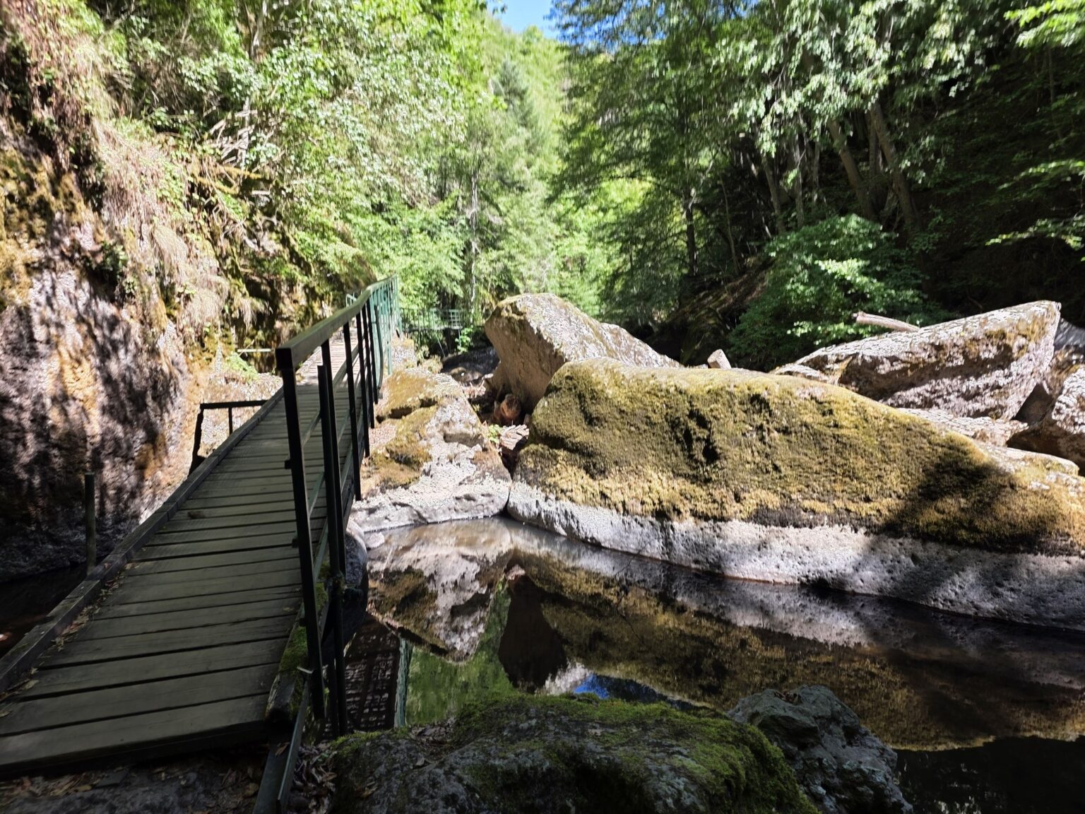
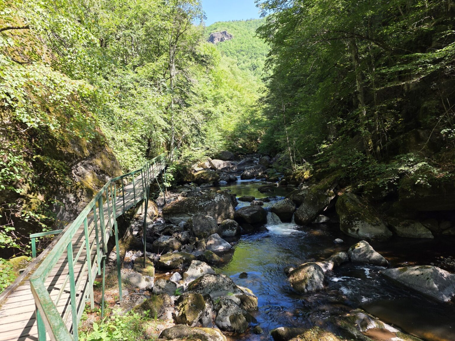
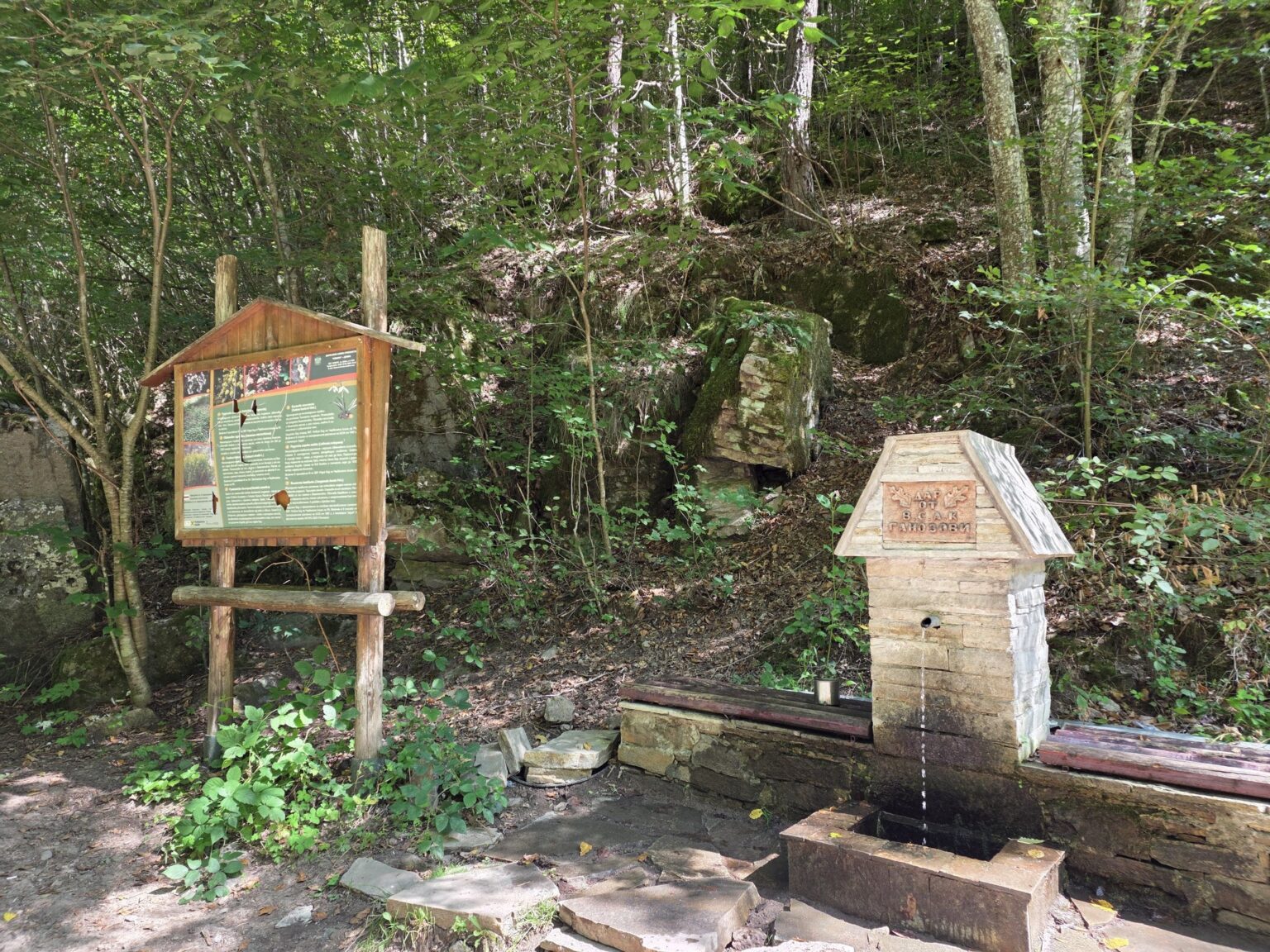
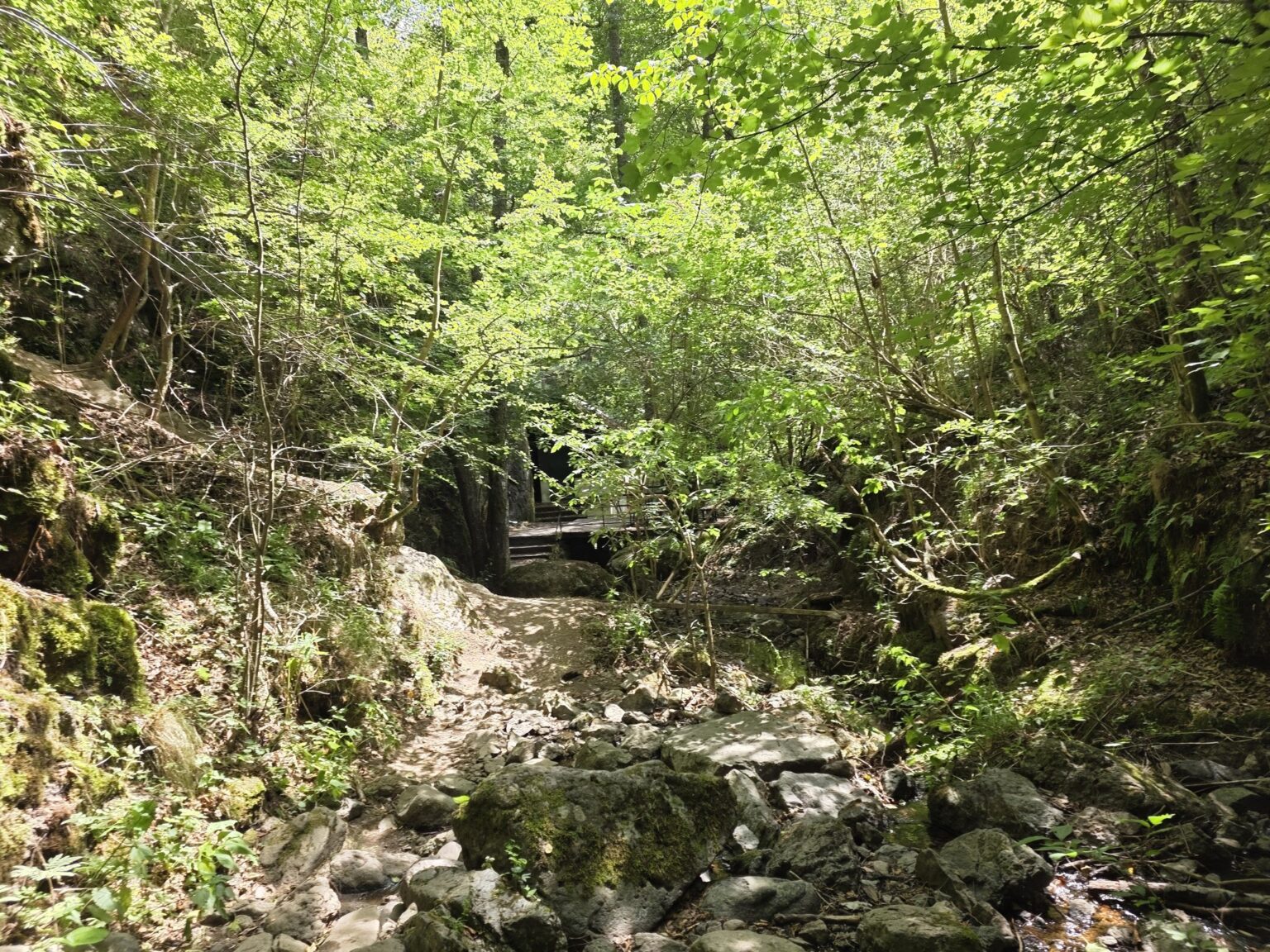
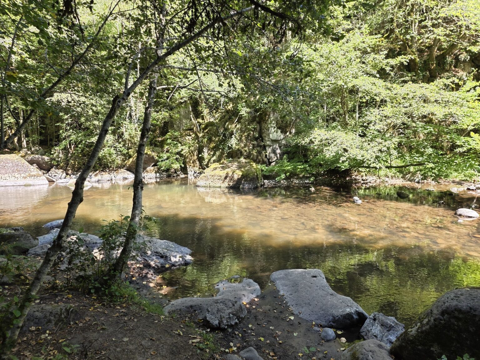
And now the good part. We dive in along the river, between sheer rock walls grown over with green moss, ferns and geraniums, and that alternation begins — the one people actually come here for: a bridge to the left, a bridge to the right, first one bank, then the other. We walk on wooden walkways with railings, glued to the rock above dark river pools, past small arched bridges and a stone fountain in the middle of the forest. The photographs more or less take themselves.
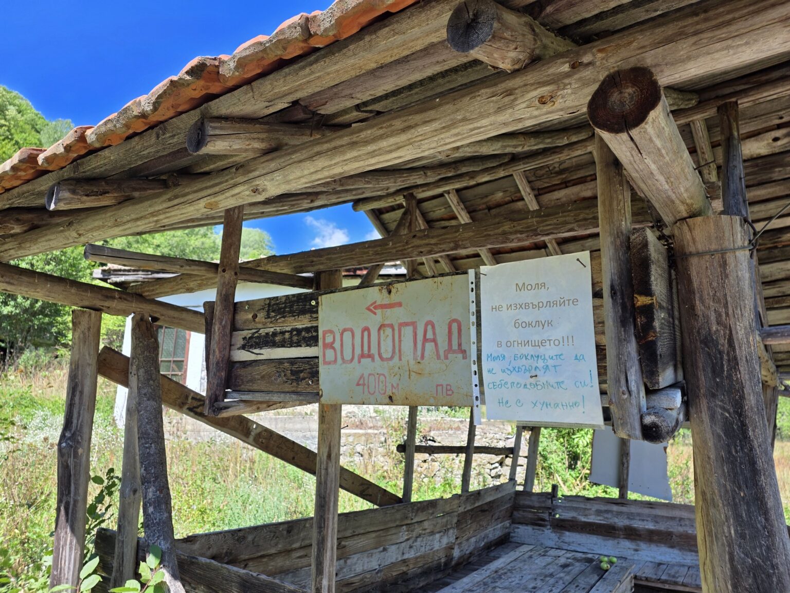
This is the flat, easy stretch — roughly the first 15 minutes to the little hut with the turn-off for the first waterfall. Then another 30 minutes to Lakata. That’s exactly why it’s a favourite with families: the river is right there, the views are dramatic and the effort is minimal. We stop, we stare, we take “just one more” and carry on. This, dear reader, is where our route parts ways with the recommendations on the boards — and we head for Lakata.
A quick warning about the photos: some of the bridges on the way to Lakata look so much like the ones on the Iskar-Panega eco-trail that you could easily mistake one for the other.
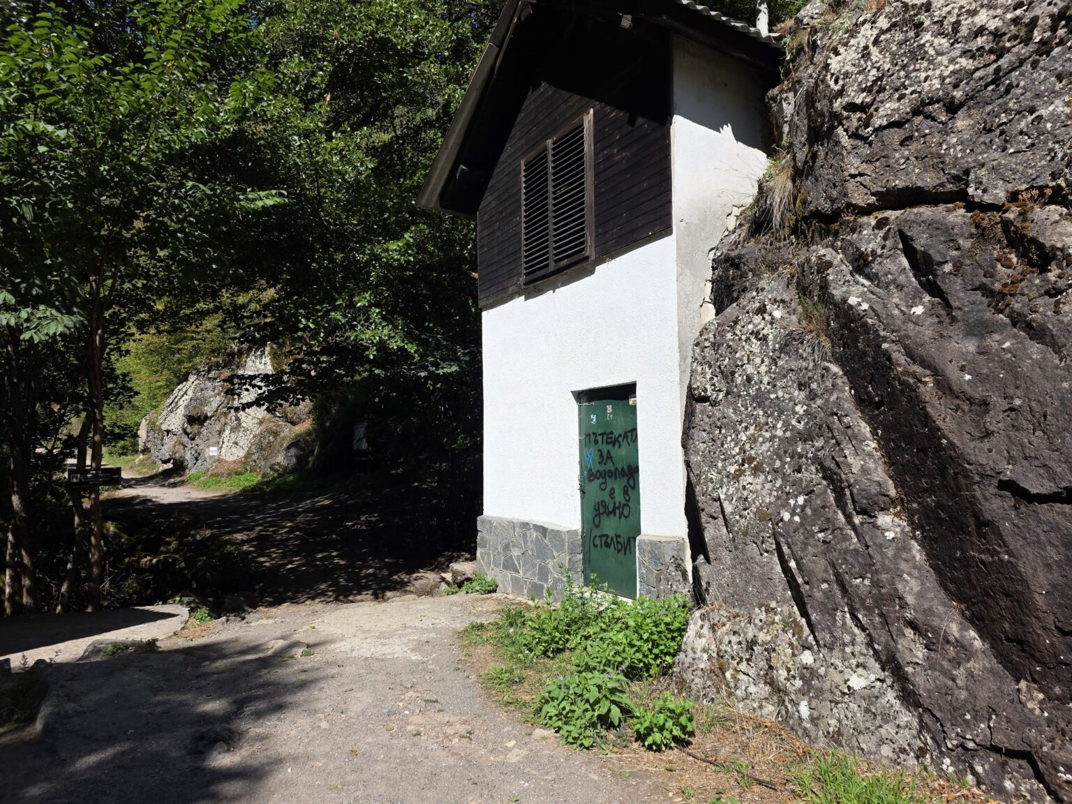
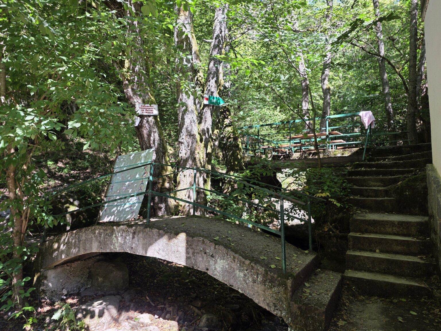
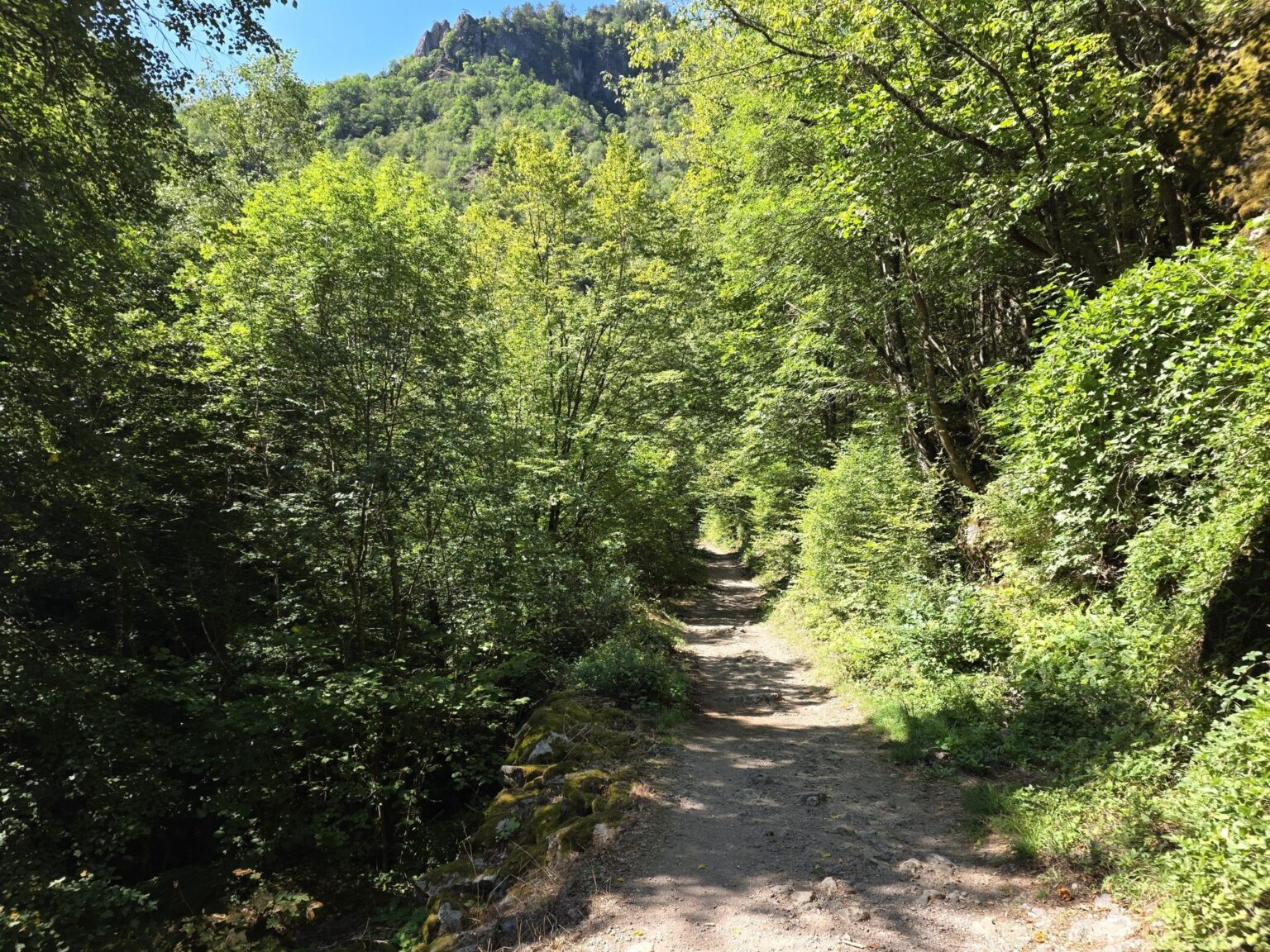
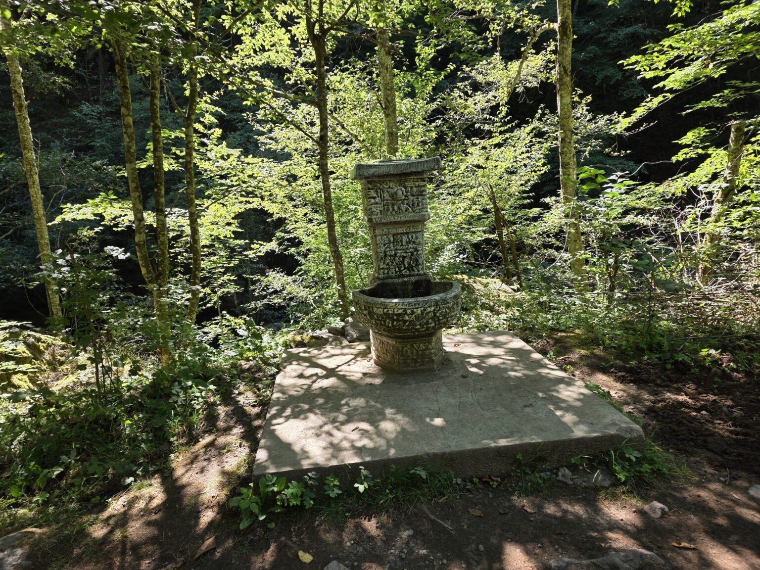
The boards — the forest’s little museum
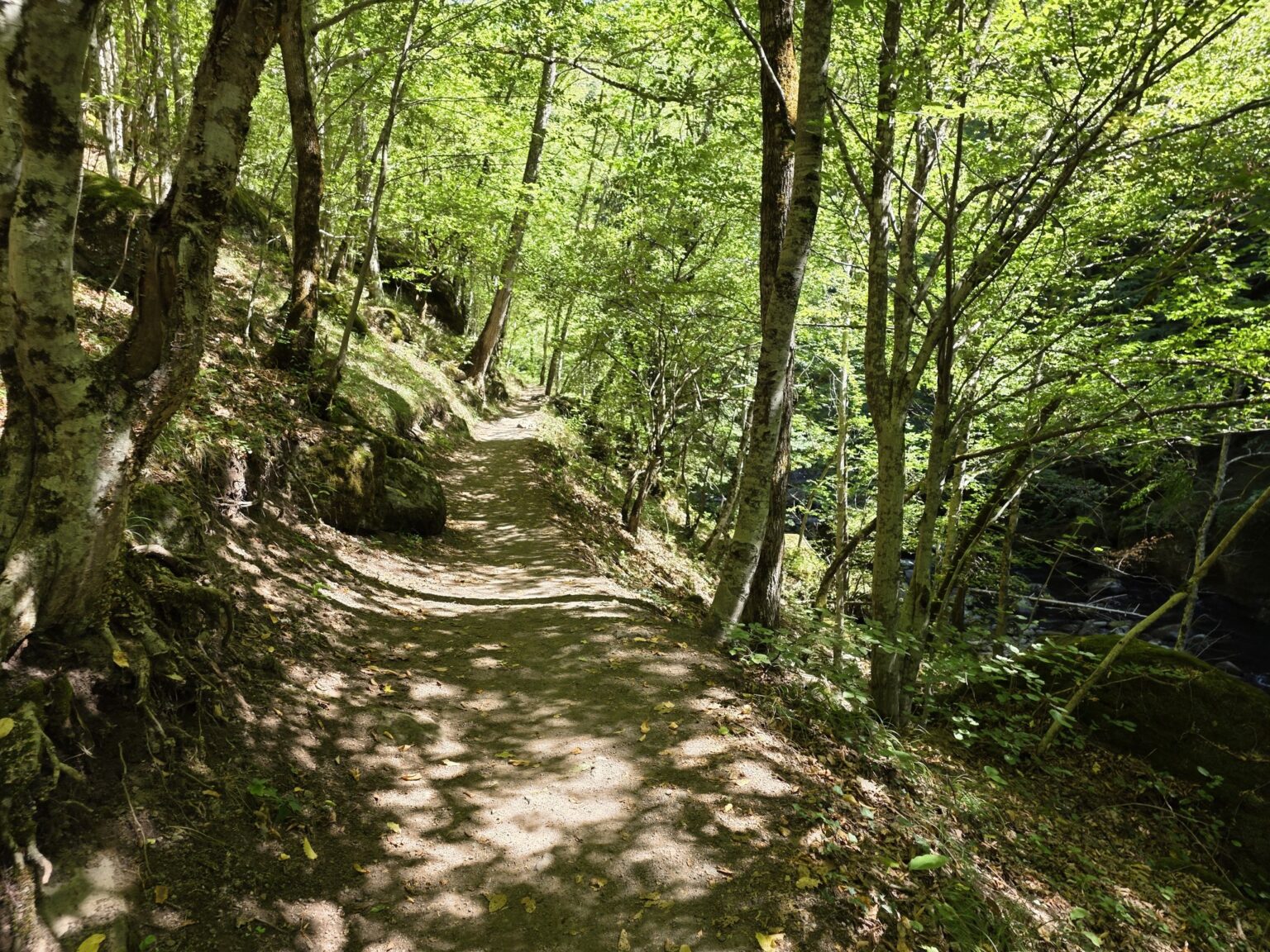
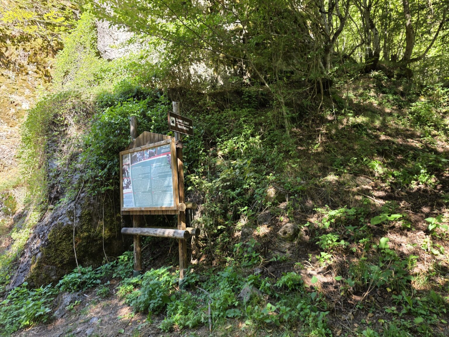
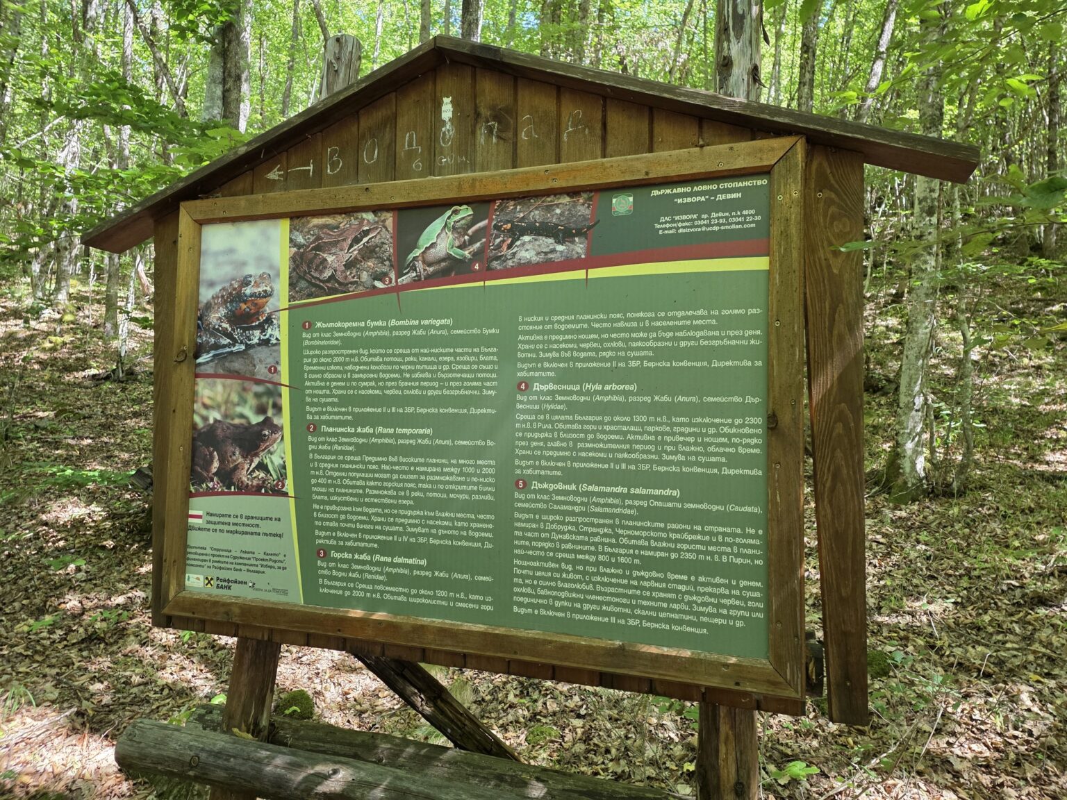
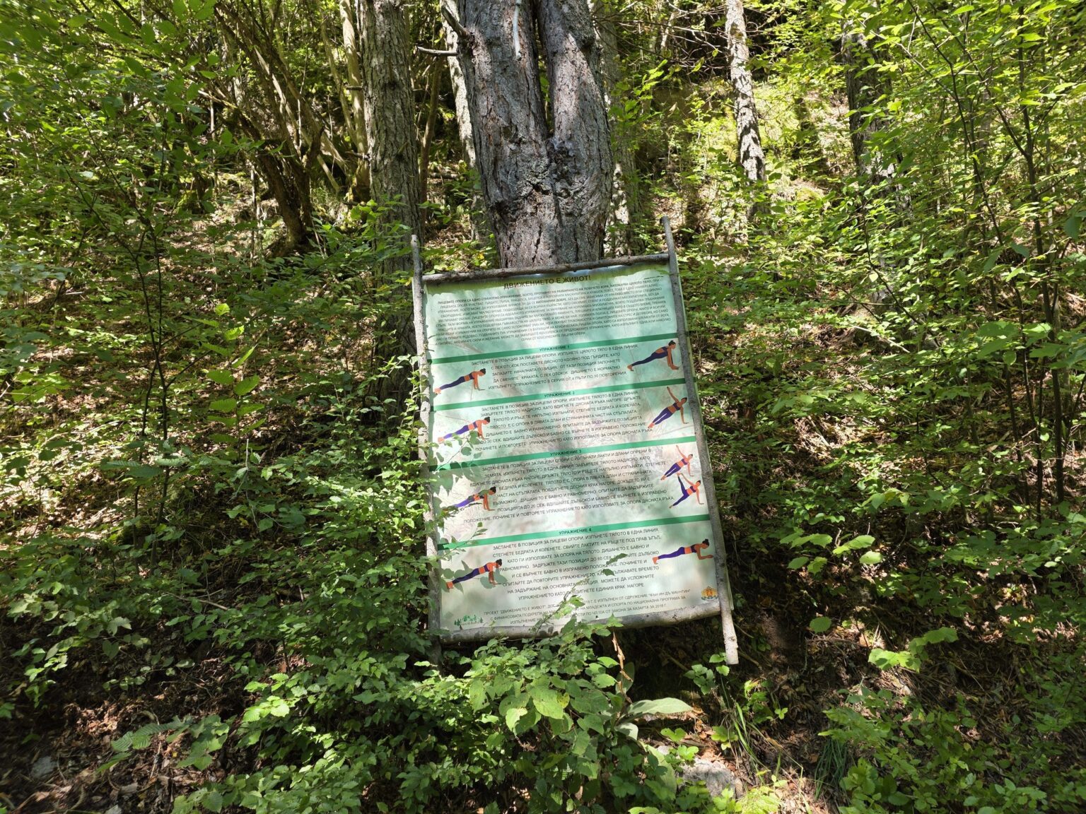
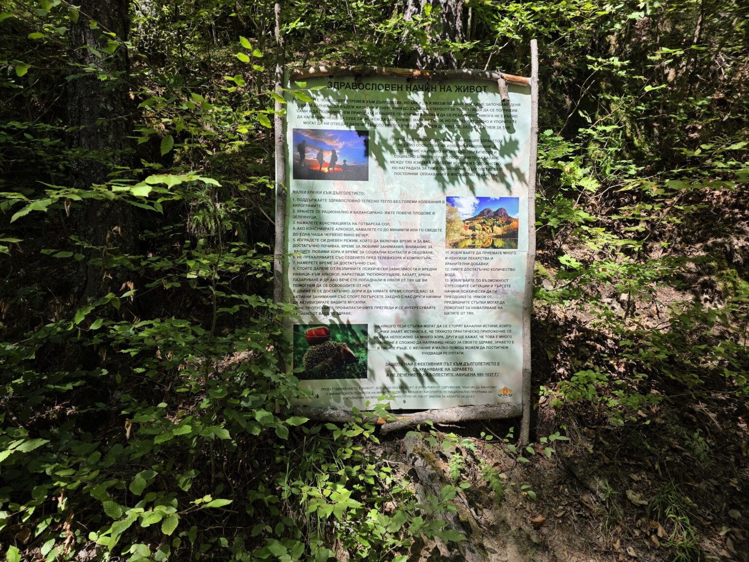
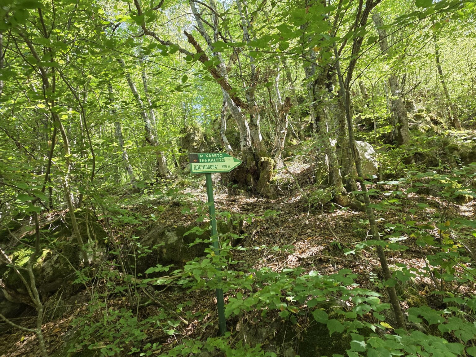
One thing I liked here: the trail is lined with information boards. About amphibians, about snakes, about forest flowers, about fires — there are even boards with stretching exercises, because “movement is life!”. There are also waymarks and signs on the trees that keep us more or less pointed in the right direction. I say “more or less” because further along the marking turns rather stingy — but more on that below.
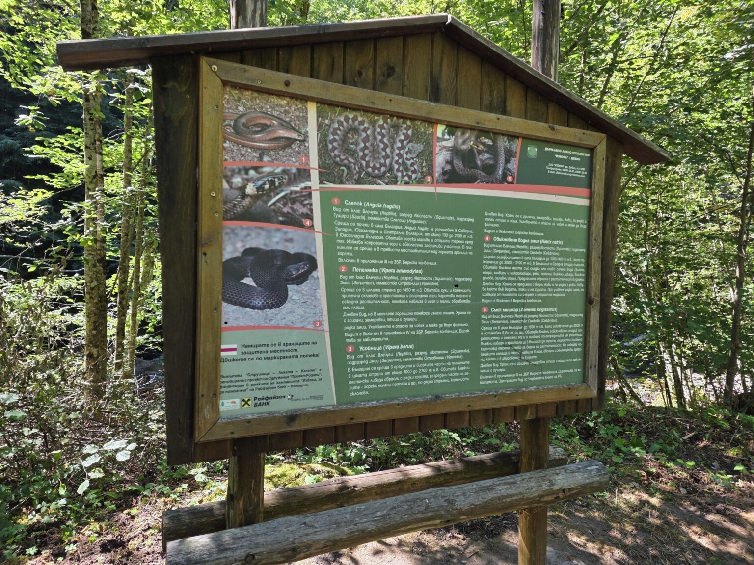
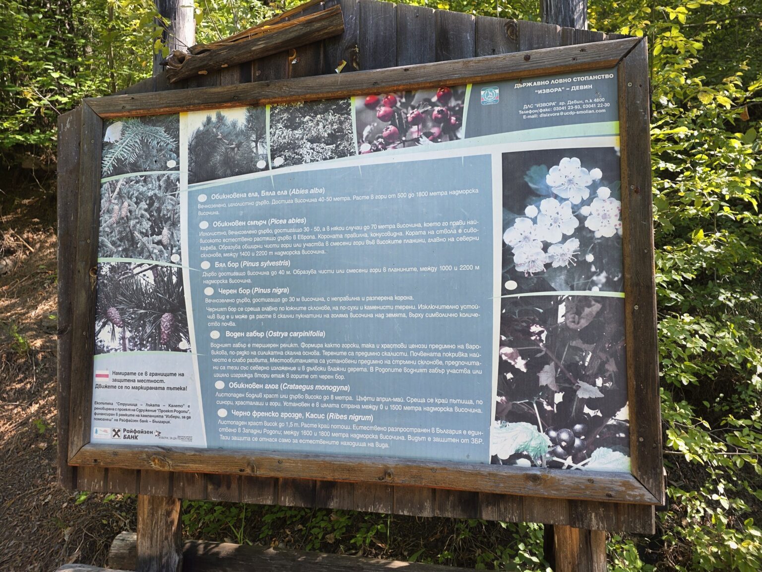
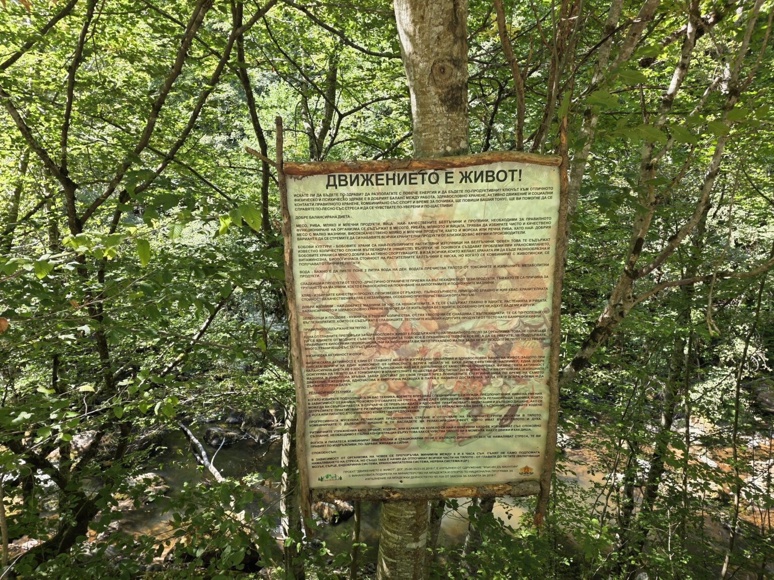
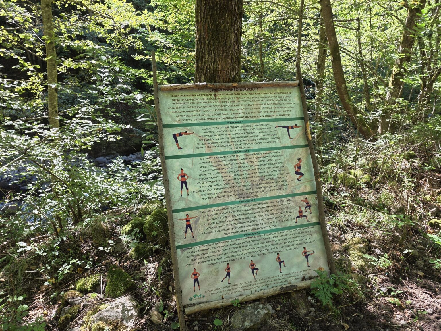
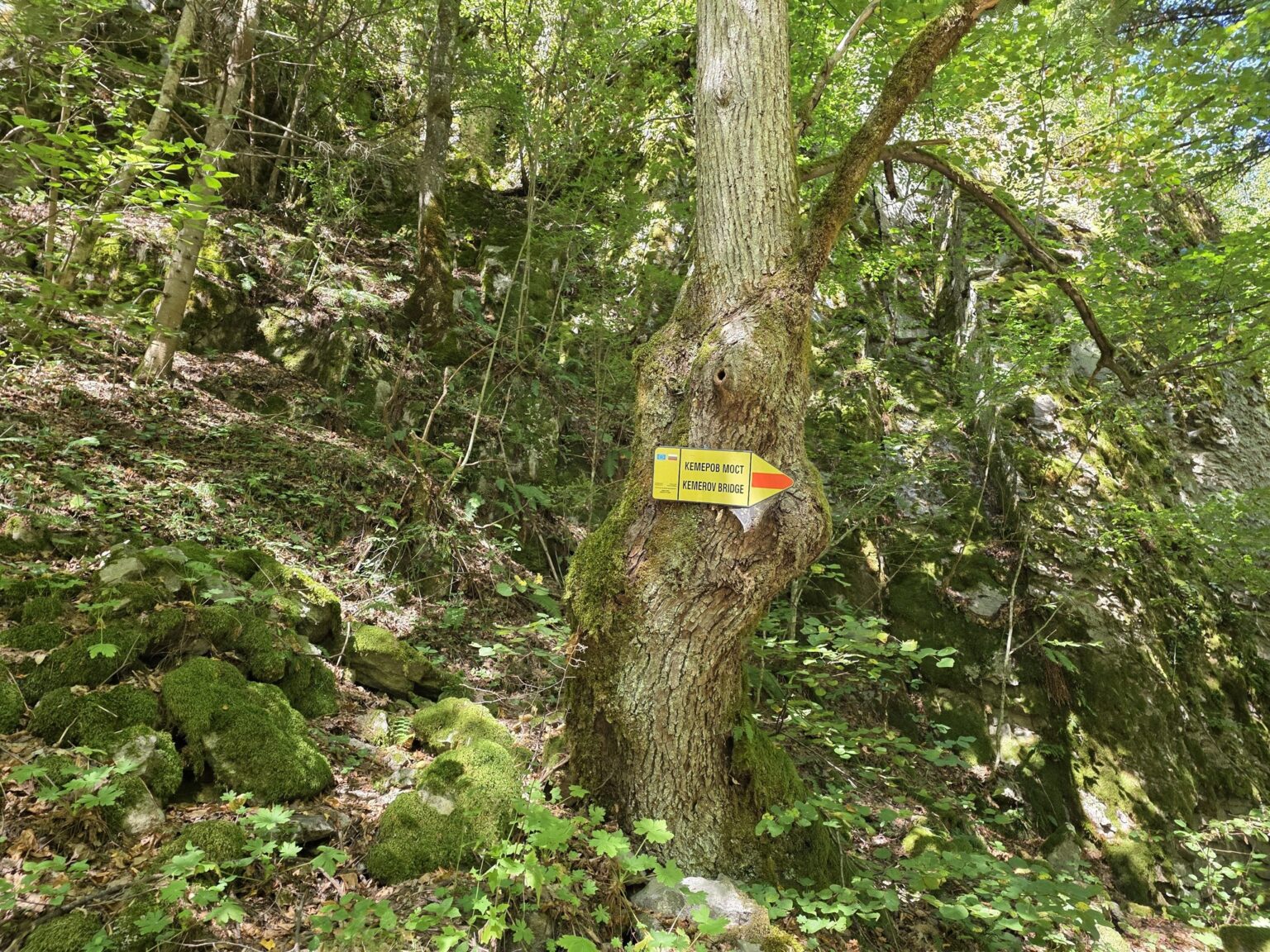
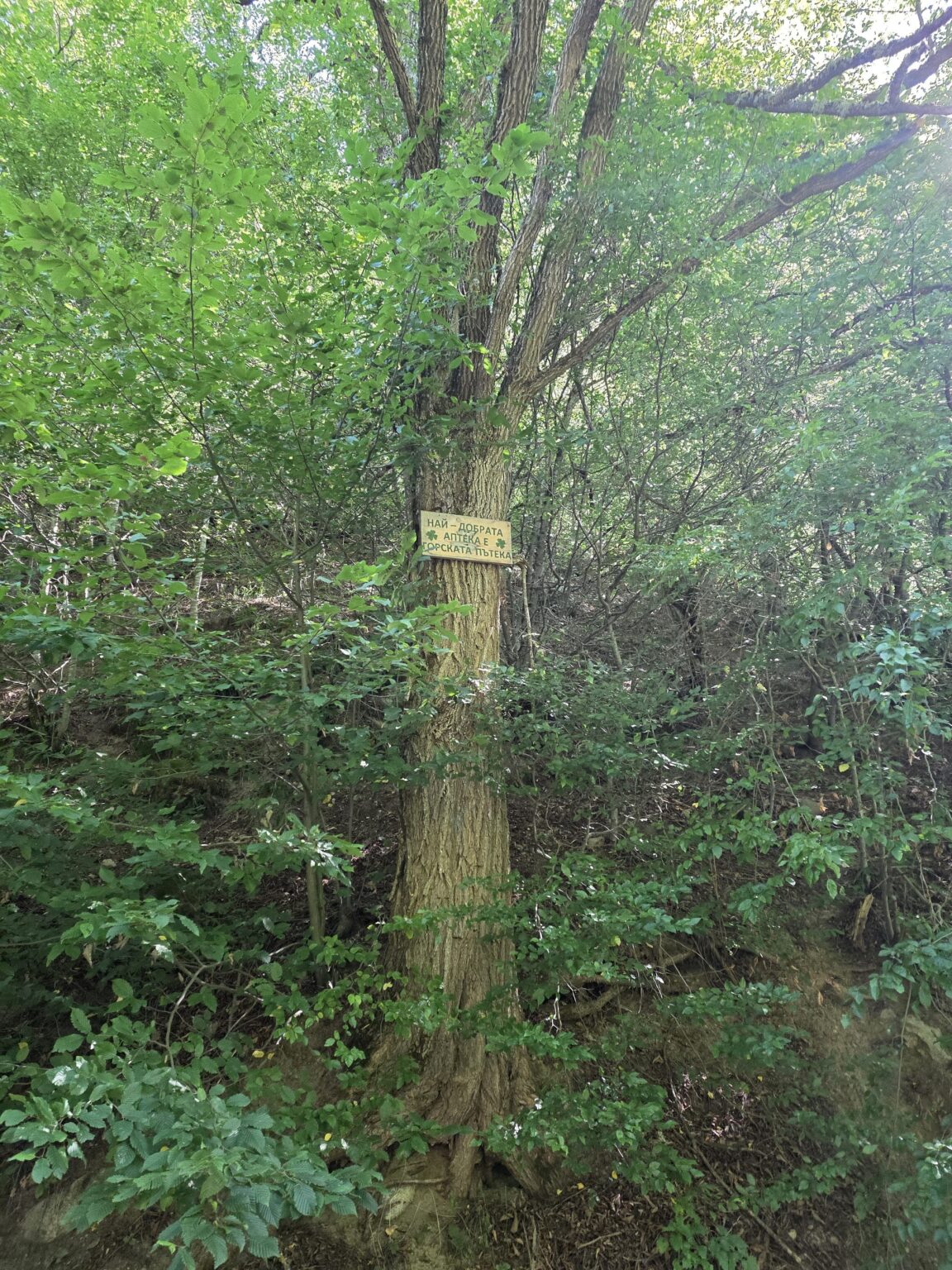
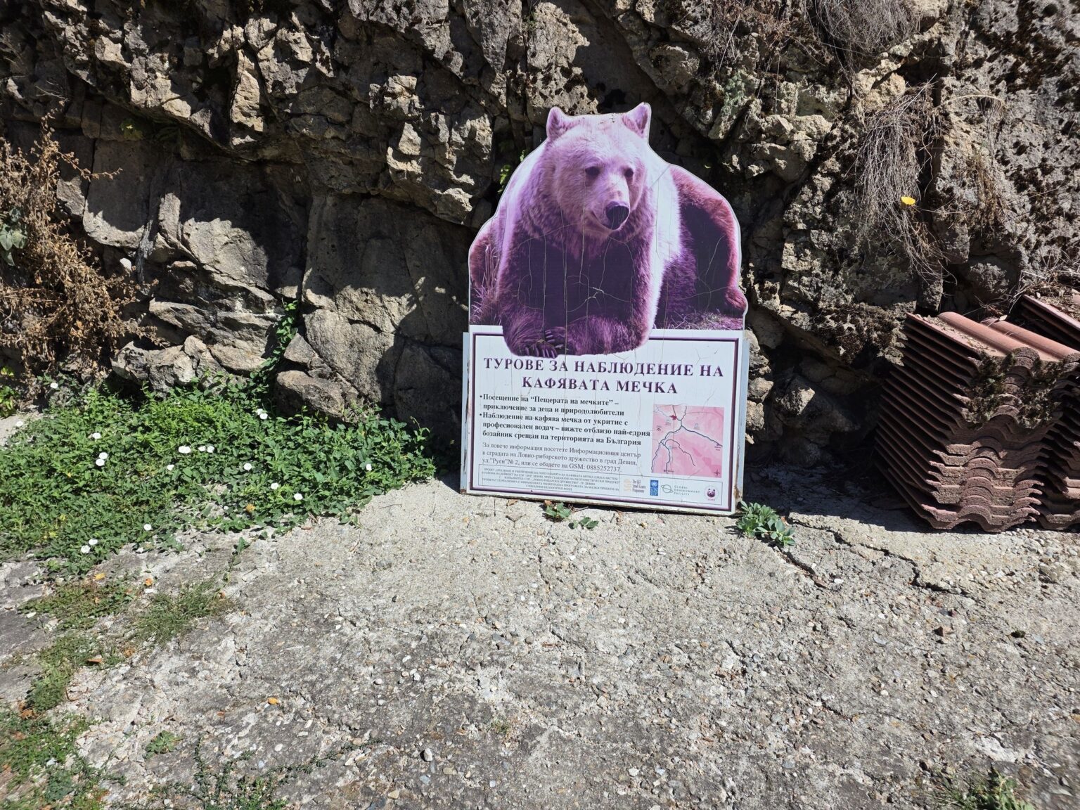
Lakata
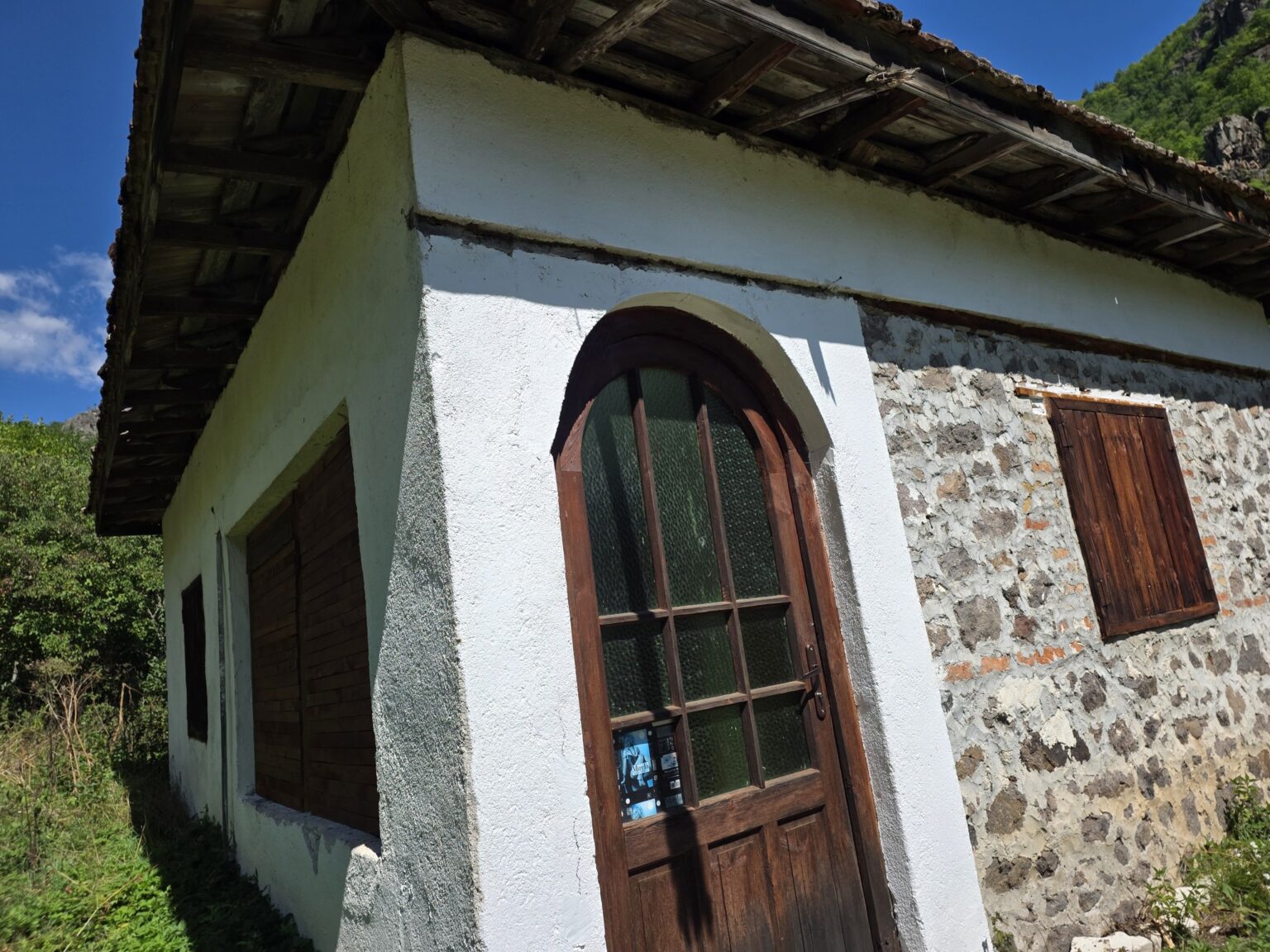
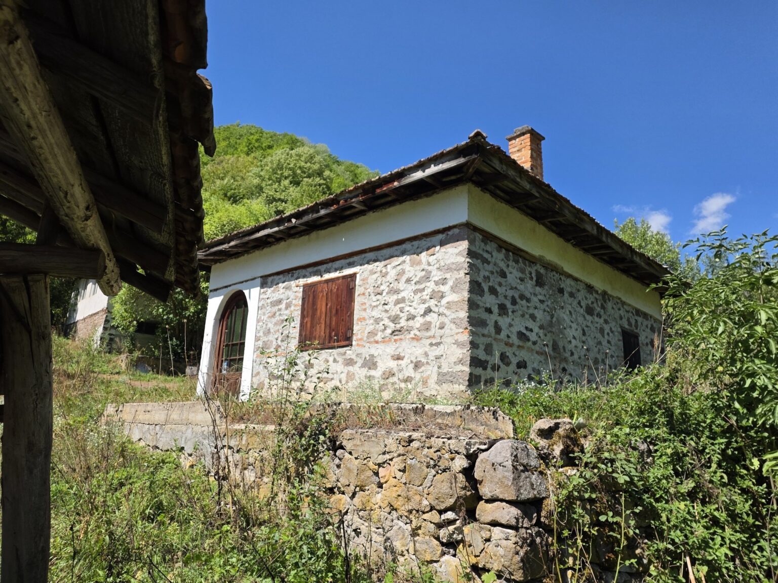
Lakata is a spot where a medieval settlement once stood, and today we’re met by abandoned buildings we can quite happily peer into. Old stone houses with wooden shutters, dry stone walls and — the least expected thing of all — a retro advertisement for “Mirela” tights behind a dusty pane of glass, sitting there like a portal into another decade. Small, odd finds like that are my favourite kind. 🙂
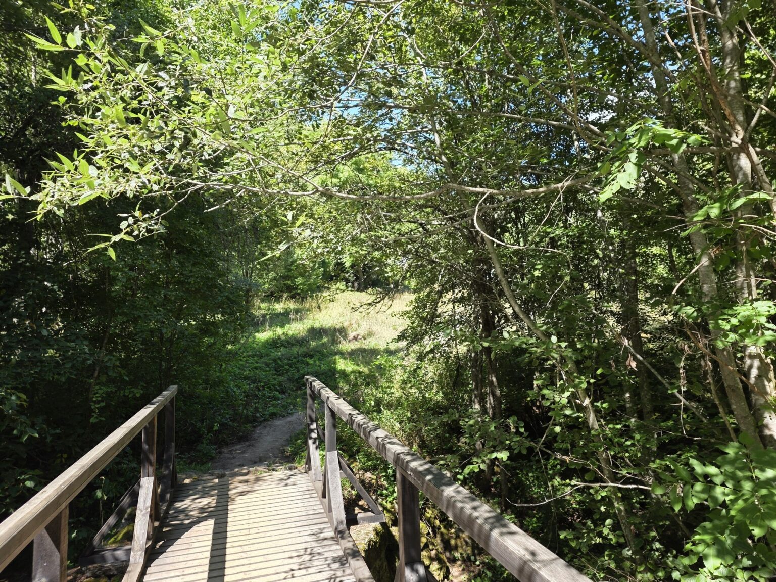

The Bear Waterfall
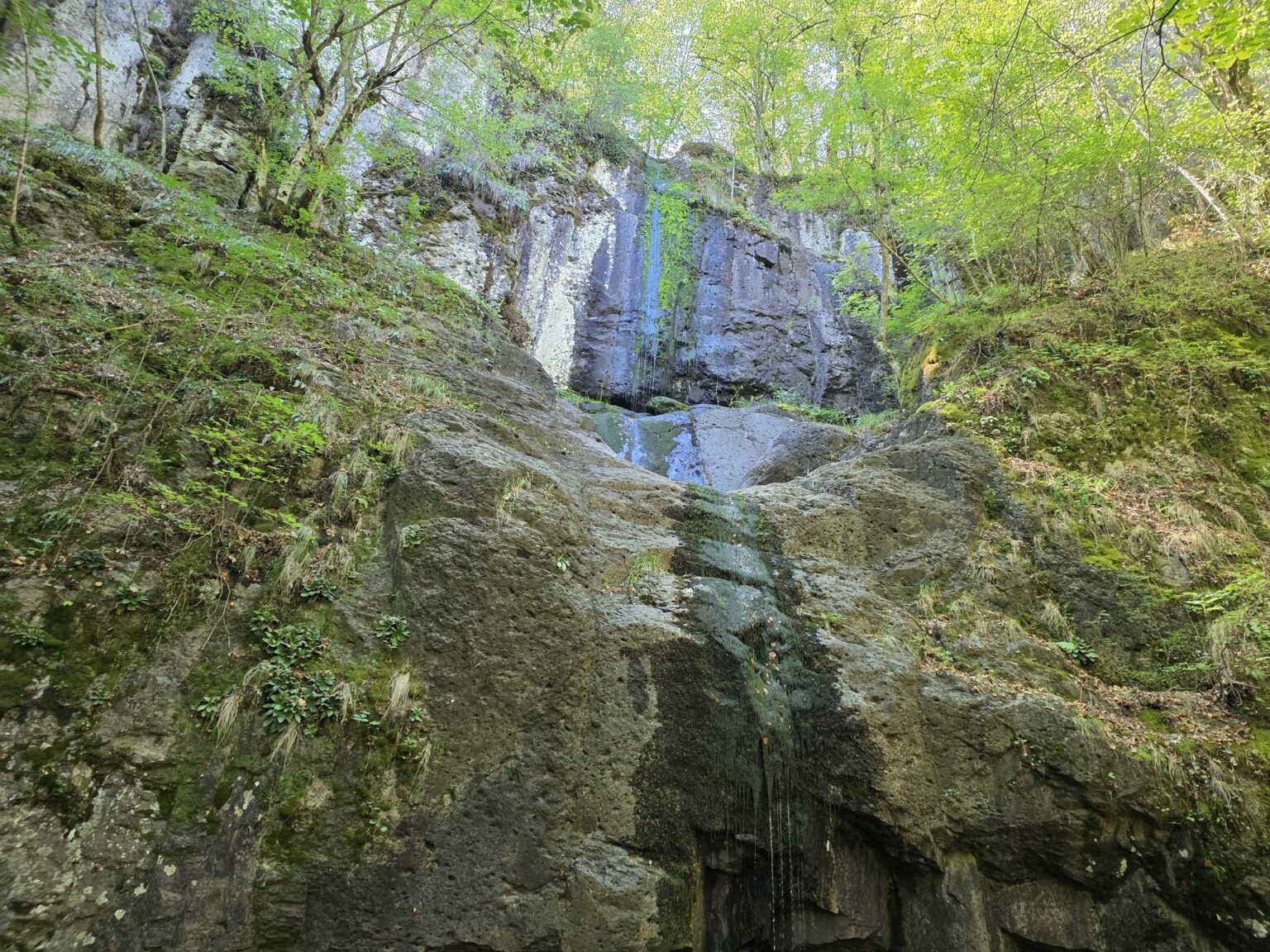
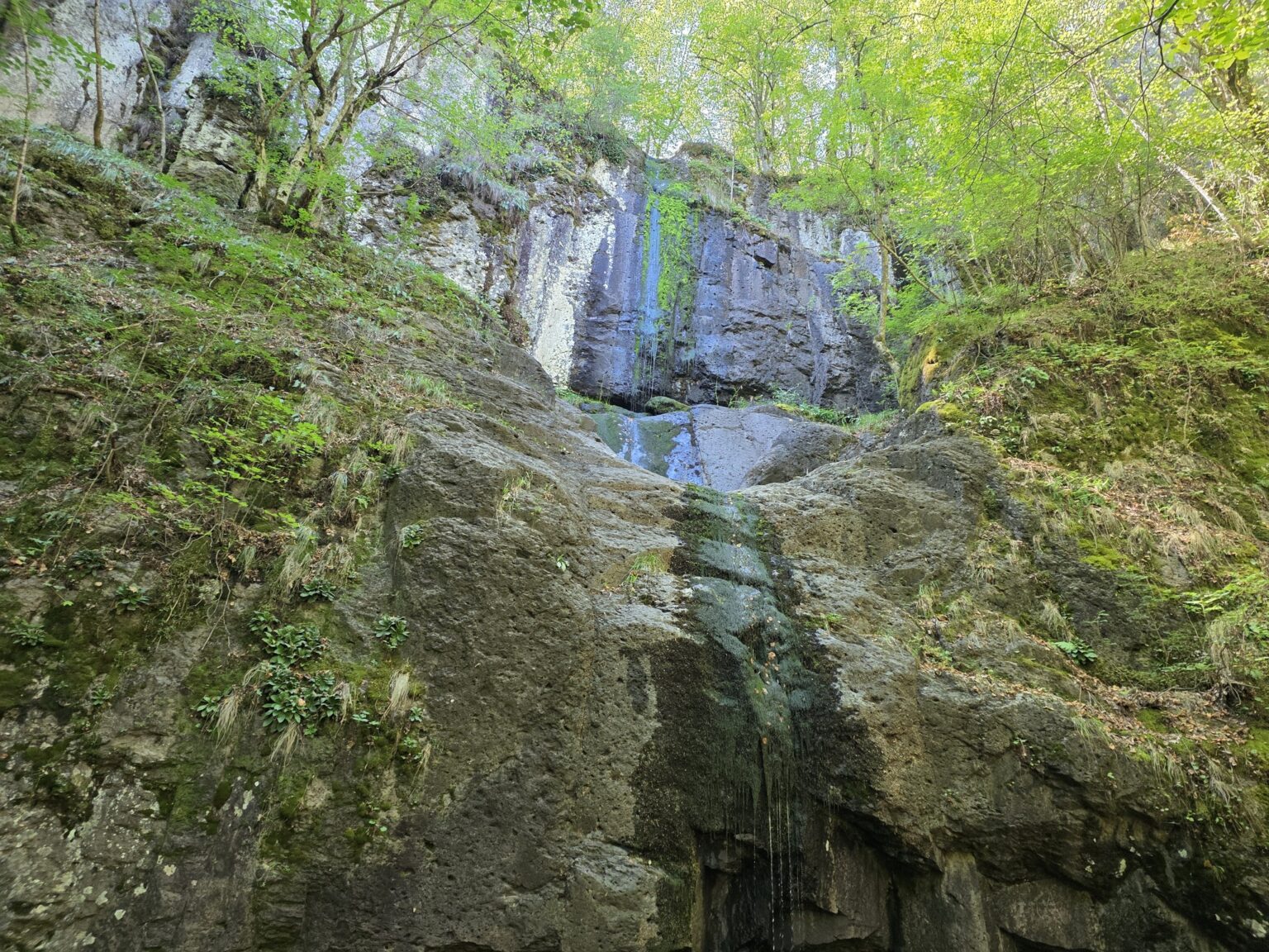
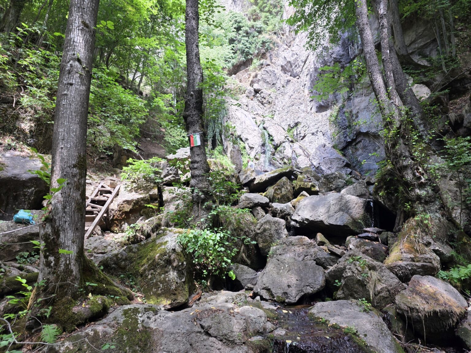
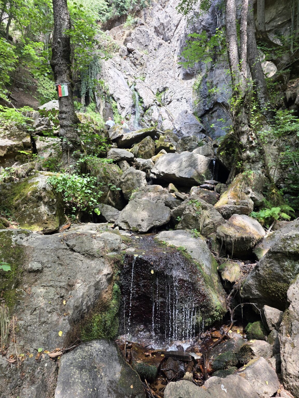
From here the path led me on to the Bear Waterfall. The climb is more noticeable than the flat riverside stretch, but it’s short. The waterfall isn’t a giant — a thin ribbon dropping down a tall rock face — but it’s one of those quiet, overgrown places where we sit down, catch our breath and say nothing for a while. Worth noting: in a dry season both waterfalls can be reduced to a trickle, so if we want them full, we come in spring or after rain. The same rule applies to the Fotinovo Waterfalls on the other side of the Rhodopes.
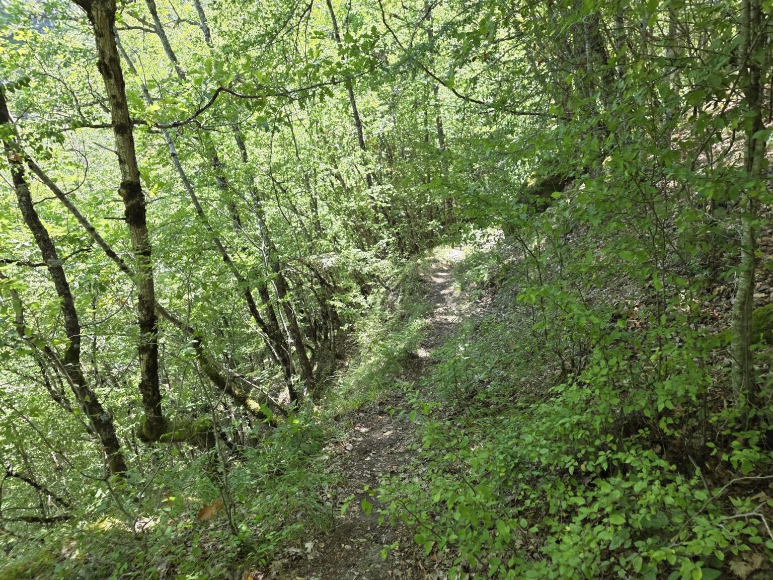
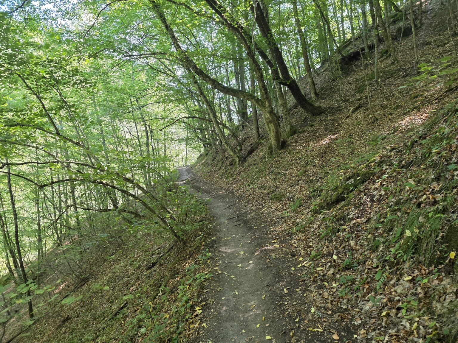
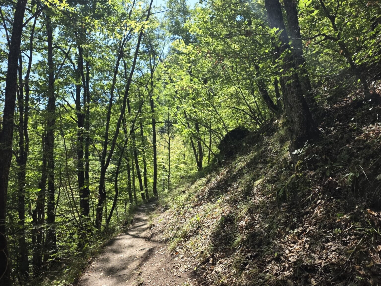
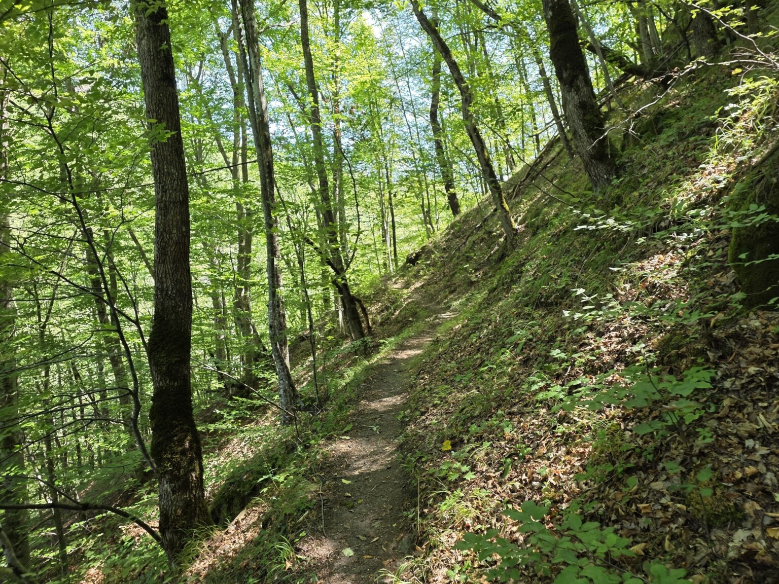
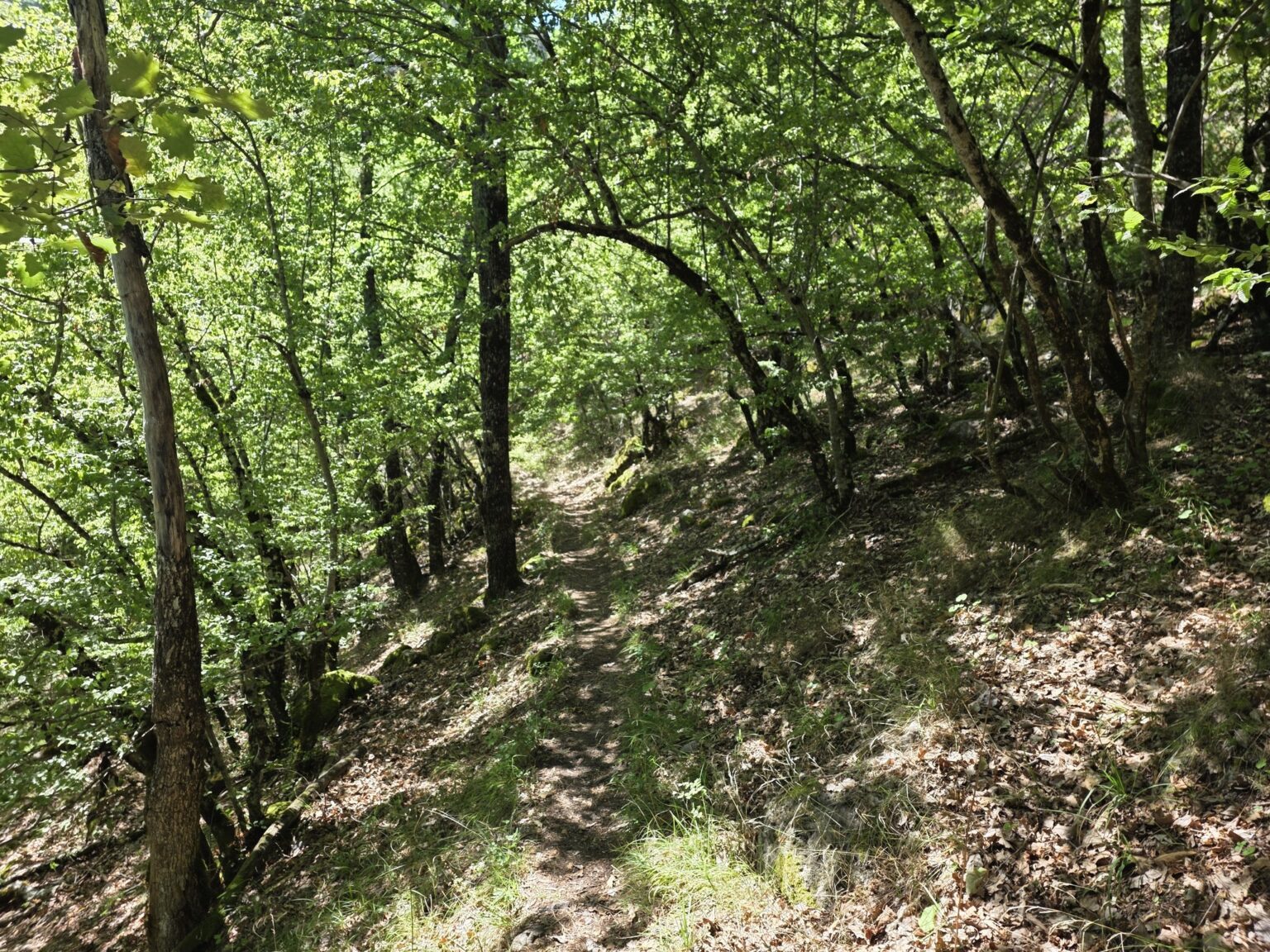
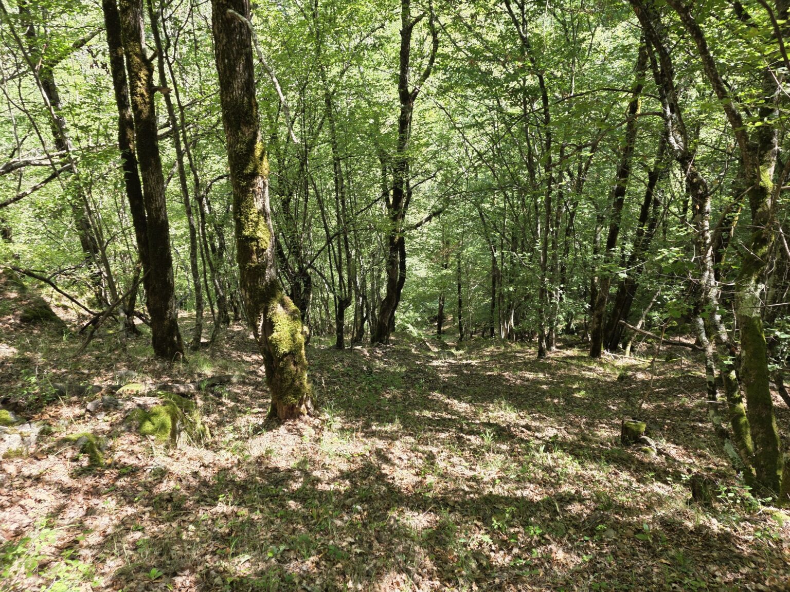
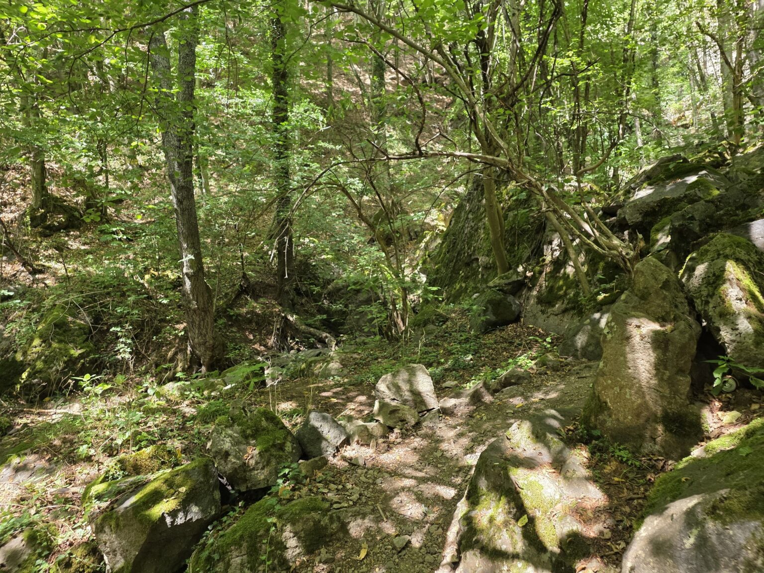
And now the practical bit that almost nobody online describes properly. At the Bear Waterfall we have a choice: turn back towards Lakata, or carry on forward — except there’s no sign at all to hint at what comes next. It’s a bit of a leap of faith. In practice, if we keep going, we walk parallel to the river and there’s a mild moment of “are we going to come out where we’re supposed to?”. Relax — we do. You emerge fairly close to the little hut with the turn-off for Samodivsko Praskalo. Just keep the river on your left and trust the process. 🙂
Samodivsko Praskalo and back to the car park
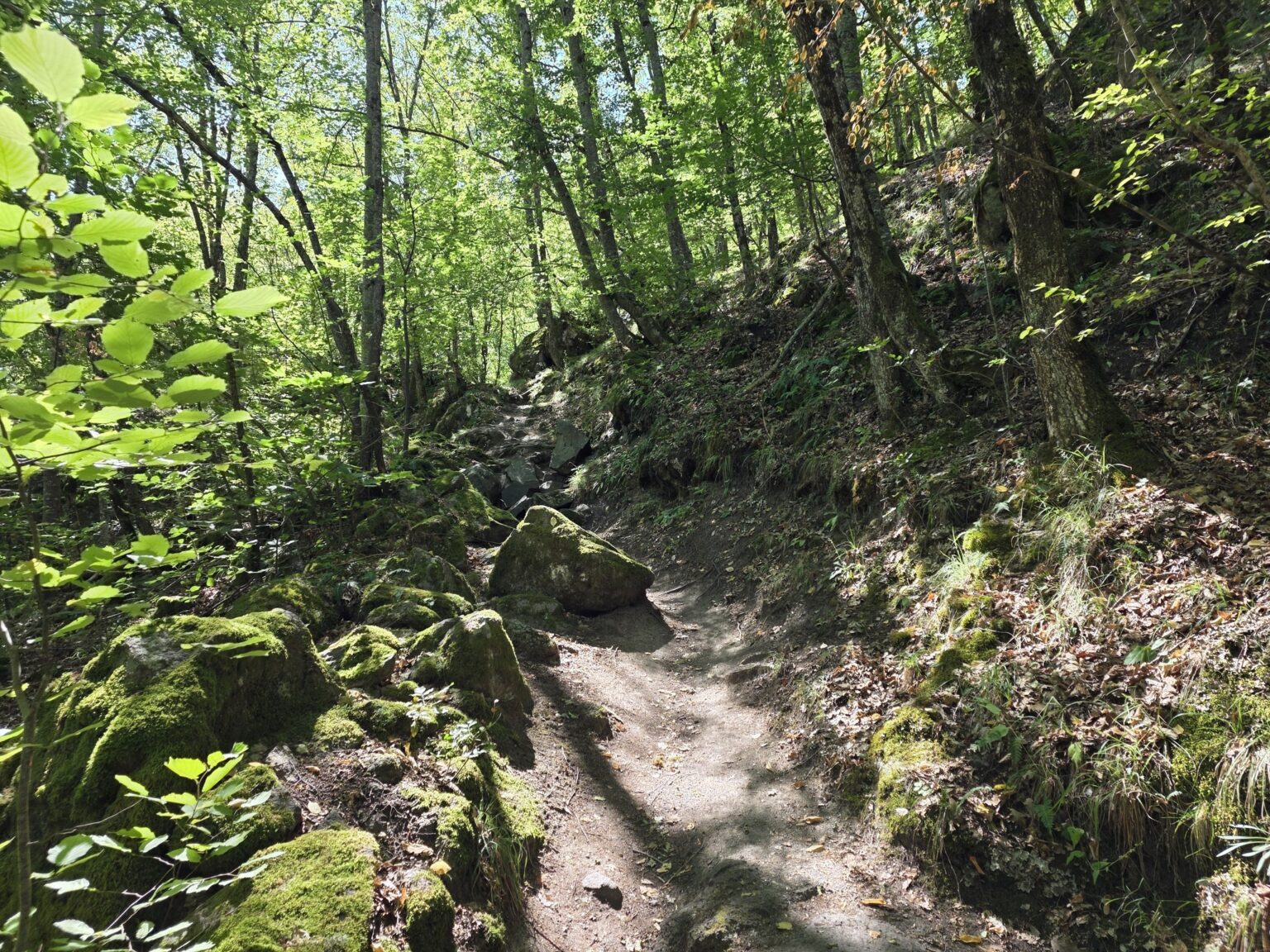
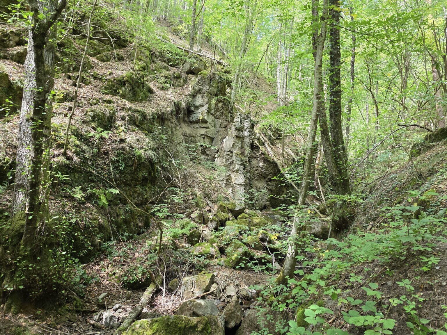
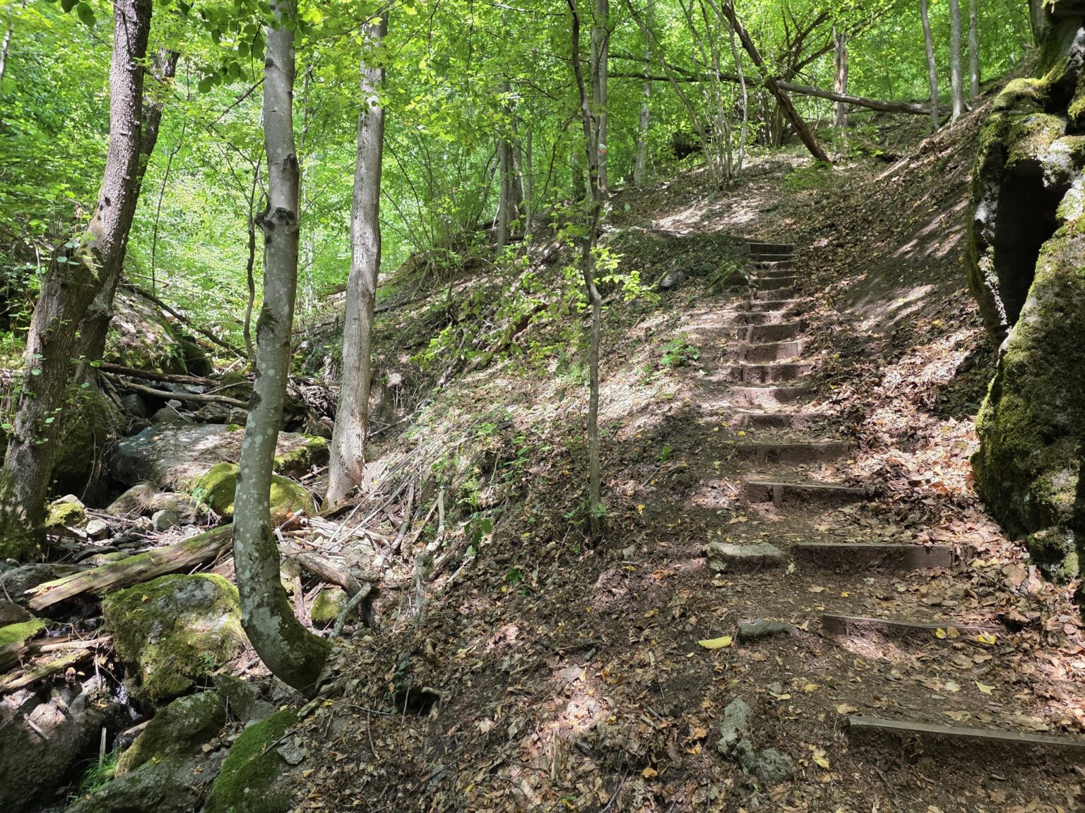
Having “surfaced” back at the junction, all that’s left is the detour to Samodivsko Praskalo. We climb a steepish stone path through a gully, past mossy boulders, wooden steps and hiking waymarks, until we reach the rock amphitheatre with the cascade. Here it finally feels like we’re in the mountains rather than on a stroll between two apartment blocks.
And from there — back to the car park. The walk ends, but the photos stay behind to remind us that we could always head back out that way again. Which, honestly, I’m already considering. 🙂
So which routes do most people walk?
Since I promised — here are the “textbook” variants you’ll find in most descriptions:
- The classic loop (the full version): Struilitsa → up to the Kaleto fortress (while your legs are fresh) → down to the gazebo and Samodivsko Praskalo → through the canyon to Lakata and the Bear Waterfall → back. Most people advise climbing the hard part first and enjoying the meanders afterwards. Logical, I’ll admit.
- The short version (for the waterfalls): just to Samodivsko Praskalo and back — about half an hour each way along the bridges, ideal if you have small children or don’t have a whole day.
- My version: on to Lakata and the Bear Waterfall first, then Samodivsko Praskalo on the way back. It works, but because of the poor marking after the Bear Waterfall it suits people who don’t mind improvising a little 😀
If history is your thing, take the detour to the remains of the Kaleto fortress as well — there isn’t a great deal left of it, but the view over the whole of Devin from up there is worth the climb. And there’s plenty around to fill the rest of the day: the Trigrad Gorge, the Devil’s Throat and Yagodina caves are only 20–25 km away, while further west lie the Dospat reservoir and Sarnitsa. If you’re still collecting ideas, we’ve gathered ten more hiking suggestions across Bulgaria.
The route in Garmin
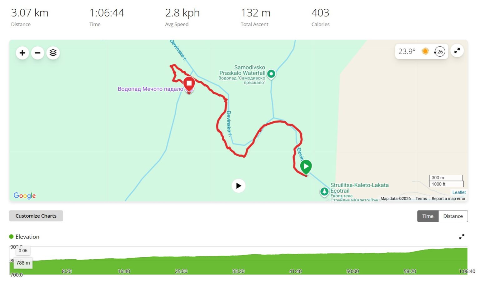
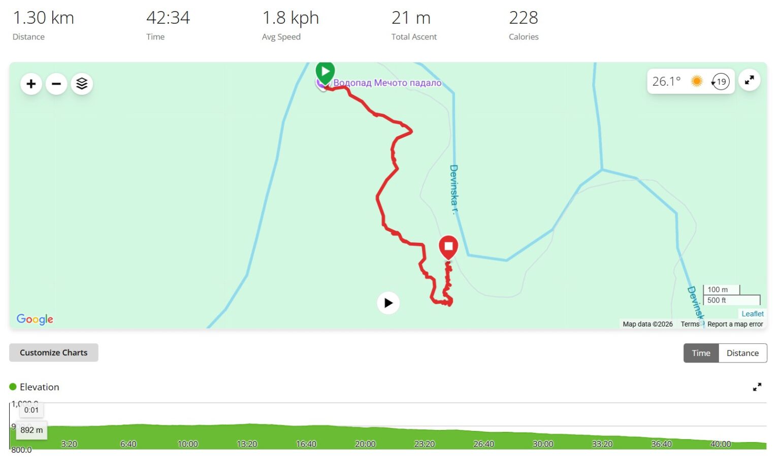
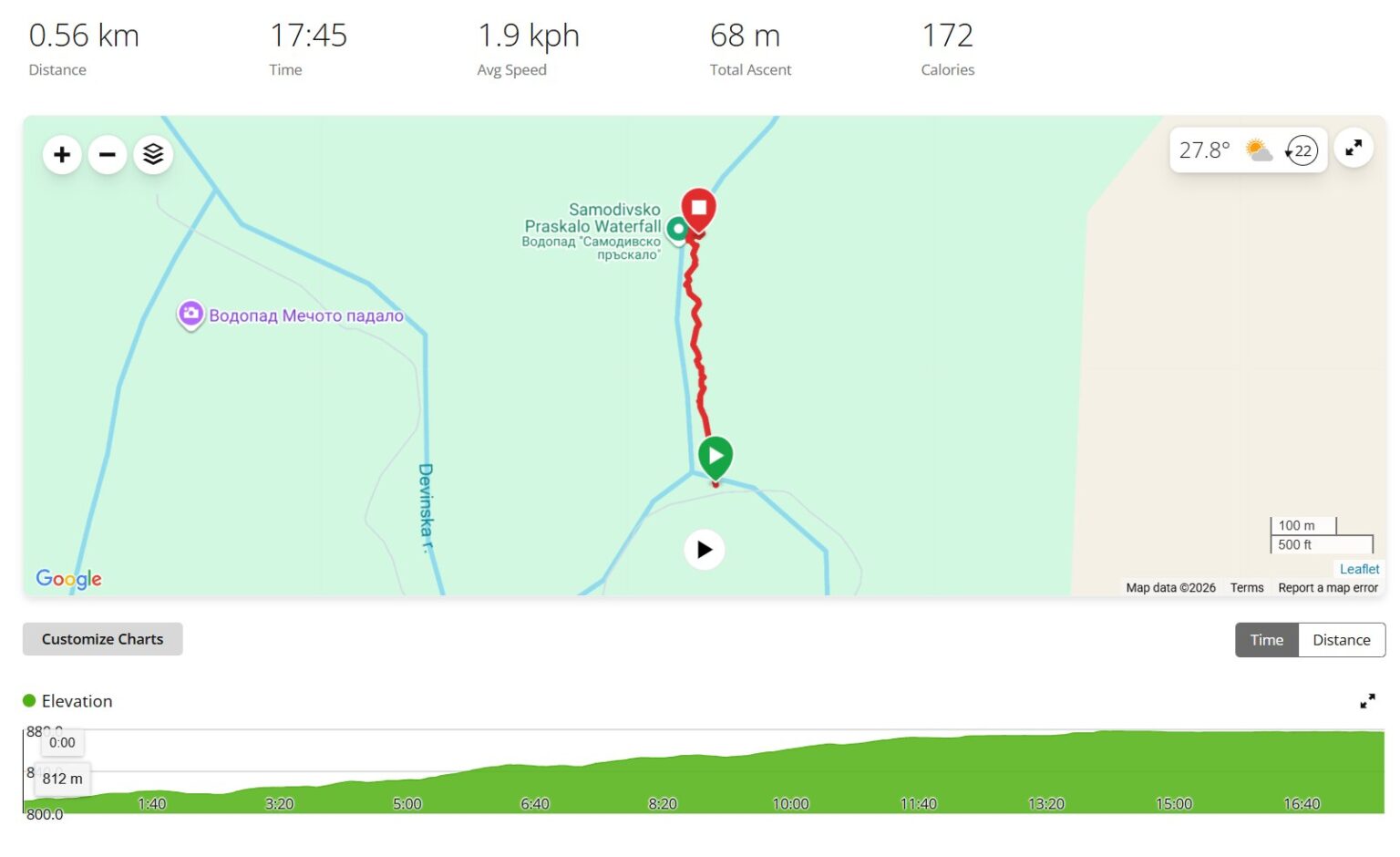
Since we’re here for practical travel, here are the Garmin maps. I’ve broken them into the three segments exactly as I actually walked them: Struilitsa → Bear Waterfall, then Bear Waterfall → the gazebo, and finally Samodivsko Praskalo → the car park. Altogether it comes to a loop of around 5 km with a little over 200 m of climbing, for which you should comfortably allow 2 hours and 30 minutes — and below I break each piece down separately, so you know what’s coming.
1. Struilitsa → Bear Waterfall (3.07 km). This is the long, proper part of the walk. We set off from the car park, pass the pool and dive into the canyon with the bridges — the flat, easy stretch along the river where nearly all the photographs pile up. Then we pass Lakata with its abandoned houses and start gaining height towards the waterfall. Most of the day’s climbing sits here, so there’s no need to rush.
2. Bear Waterfall → the gazebo (1.30 km). This is the unmarked link-up I warned you about above. Instead of retracing our steps, we carry on forward and walk parallel to the river until we come out at the gazebo and the turn-off for Samodivsko Praskalo. It’s short, but this is precisely where the mild “are we coming out in the right place?” creeps in — keep the river on your left and simply keep going.
3. Samodivsko Praskalo → the car park (0.56 km). The final piece — short and steepish. Once we’ve had our fill of the cascade, we drop down through the gully with the wooden steps and the hiking waymarks, back to the car. Half a kilometre, but it’s downhill, so the legs notice. And that’s that — the loop closes.
The “Struilitsa – Kaleto – Lakata” eco-trail is one of those walks that doesn’t demand we conquer anything at all costs. We simply follow the river, cross one bridge, then another, stop at a pool, peer into an abandoned house and come home pleasantly tired. Which, for me at least, is a fairly good definition of a successful day outdoors. 🙂