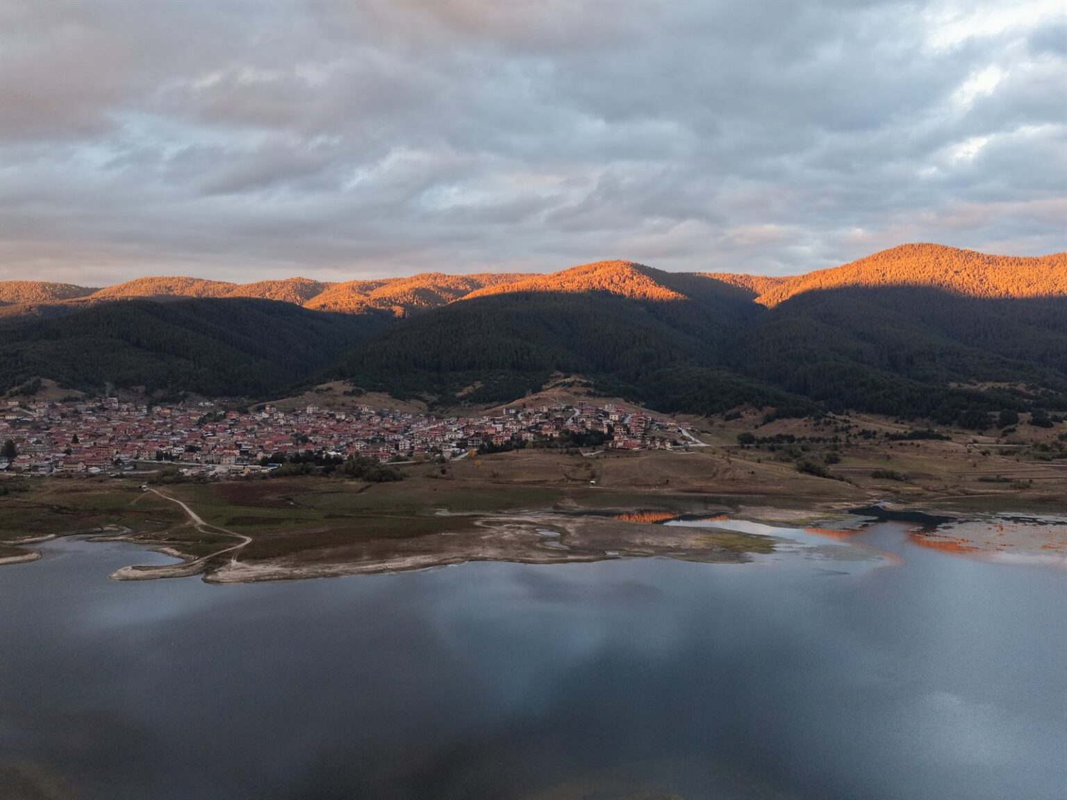
Sarnitsa sits on the northern shore of Dospat Reservoir, seventeen kilometres across the water from Dospat — the two towns face each other from opposite banks, joined by the road that curves around the inlet. The settlement was founded around 1860 by a shepherd named Shaban and for nearly a century was called Shabanlii; it took its present name in 1975, when several hamlets were merged. It became a town in 2003 and a municipality in its own right on 1 January 2015. Few places in Bulgaria have passed through so many names and statuses in so short a time.
| Where | Western Rhodopes, Pazardzhik province, between the Dabrash ridge and the Veliyshko-Videnishki range, about 1,200 m above sea level beside Dospat Reservoir |
| Getting there | by car, about 200 km from Sofia via Pazardzhik – Peshtera – Batak; 17 km from Dospat on the shore road; from Velingrad via Pobit Kamak |
| How long | half a day for the town and the shore; a full day if you add the eco-trail up to Sarnitsa Ay |
| Town and municipality | a town since 2003, a separate municipality since 1 January 2015; around 3,300 residents according to national statistics at the end of 2025 |
| Sarnitsa Ay eco-trail | starts from the southern shore and climbs to roughly 1,500 m; two fountains along the way, benches and a wooden shelter at the top. Free access; the final stretch is also passable in a 4×4. |
| Entry | free – there is no ticketed attraction in the town. Boats and fishing permits are arranged privately on site; check current conditions with the operator. |
| When to go | summer – the altitude keeps it cool here when the lowlands are unbearable. Winter is long and cold. |
| Parking | free in the centre and at the pull-ins along the shore |
The town
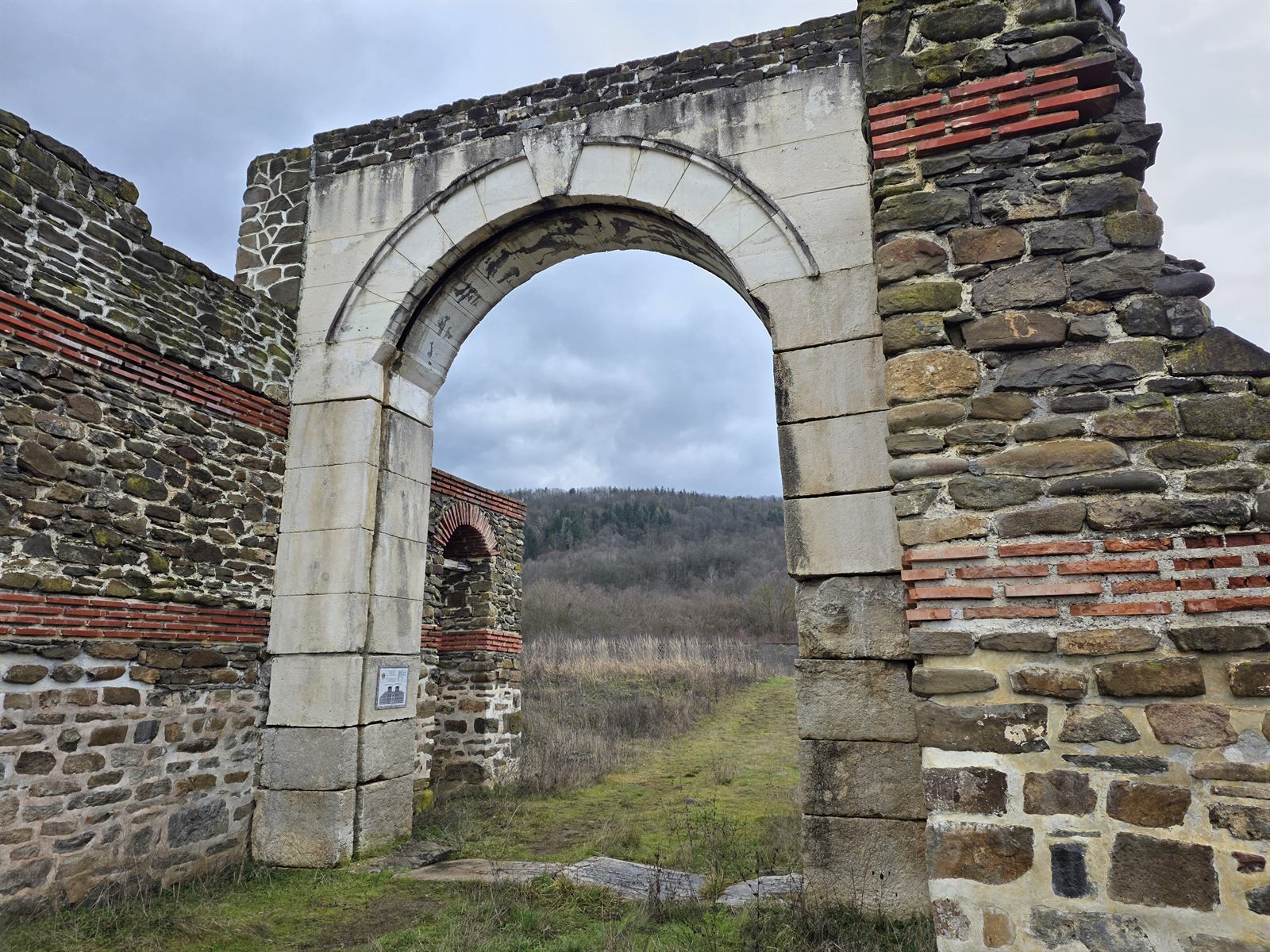
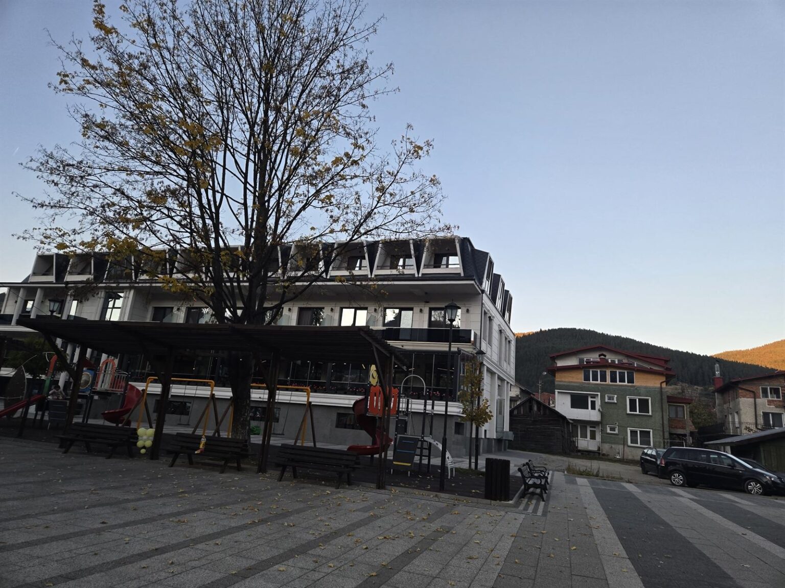
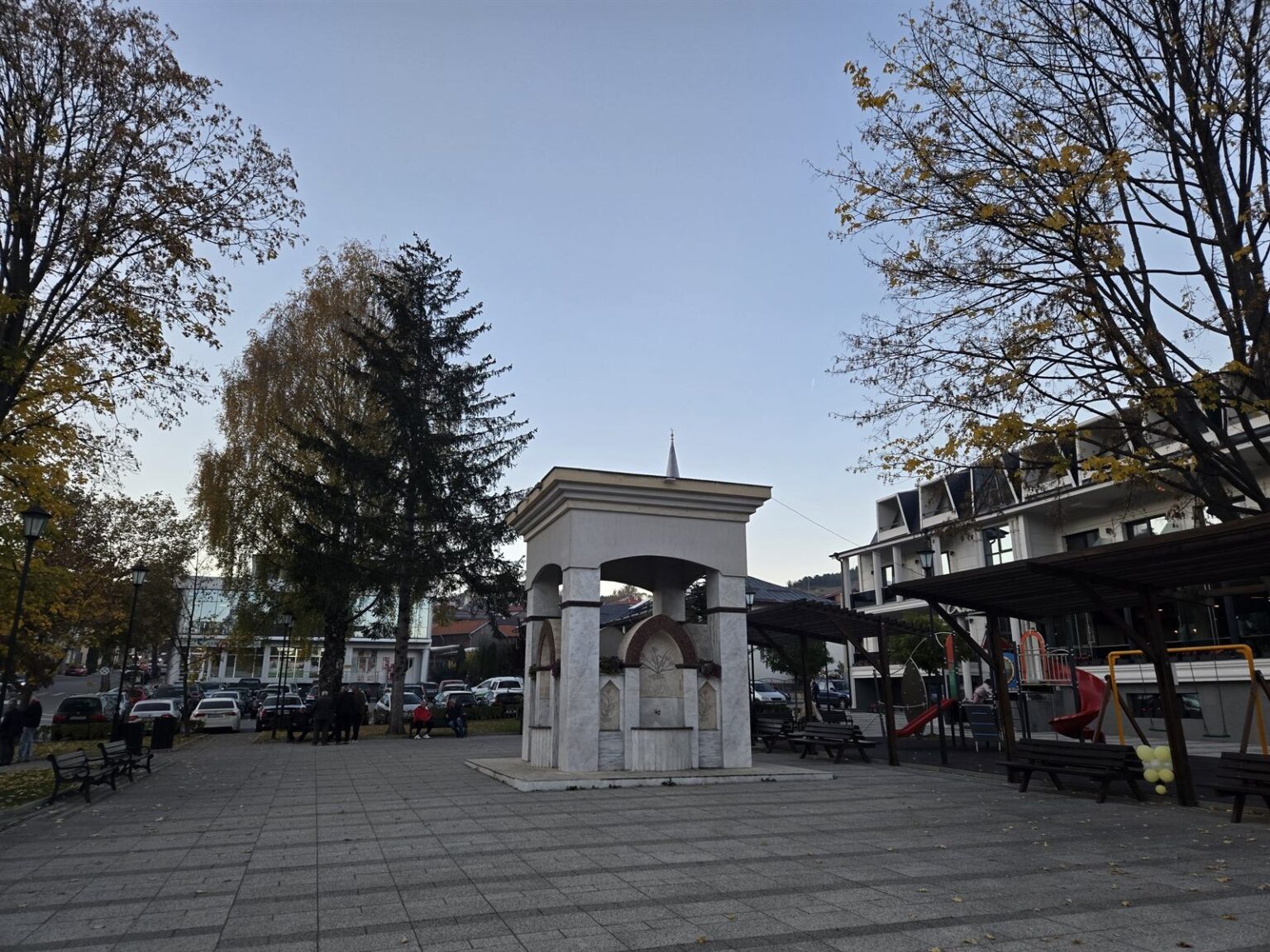
Sarnitsa is compact and built across a slope — the houses climb in terraces, so from almost any street you see either the water or the ridge opposite. The buildings are mostly modern, in brick and stone with tiled roofs; there is no National Revival quarter to walk around. The local economy is equally practical: the town is known across Bulgaria for its potato growing, with forestry and livestock alongside it. Remains of an early Christian three-nave basilica from the 4th–6th century have been found near the settlement — a trace of much older life in this valley, long before the reservoir and long before Shabanlii.
The water
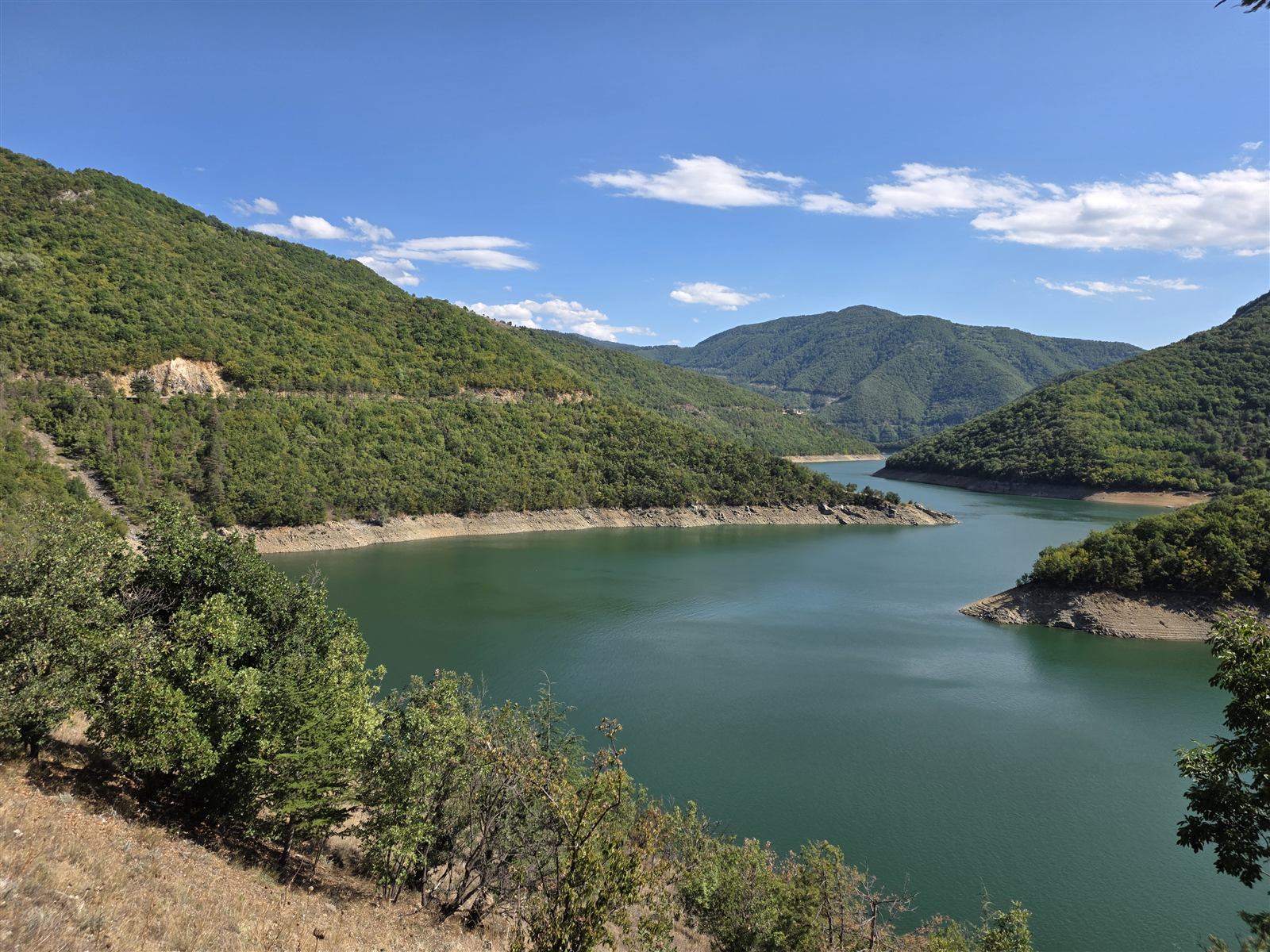
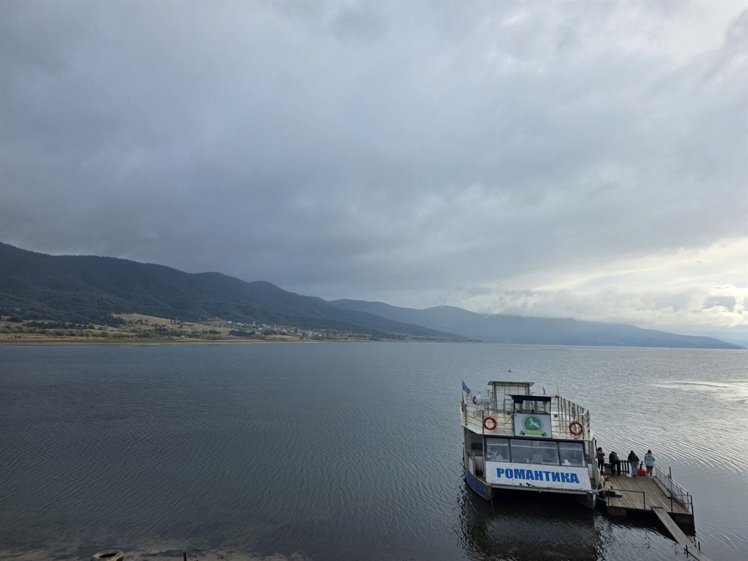
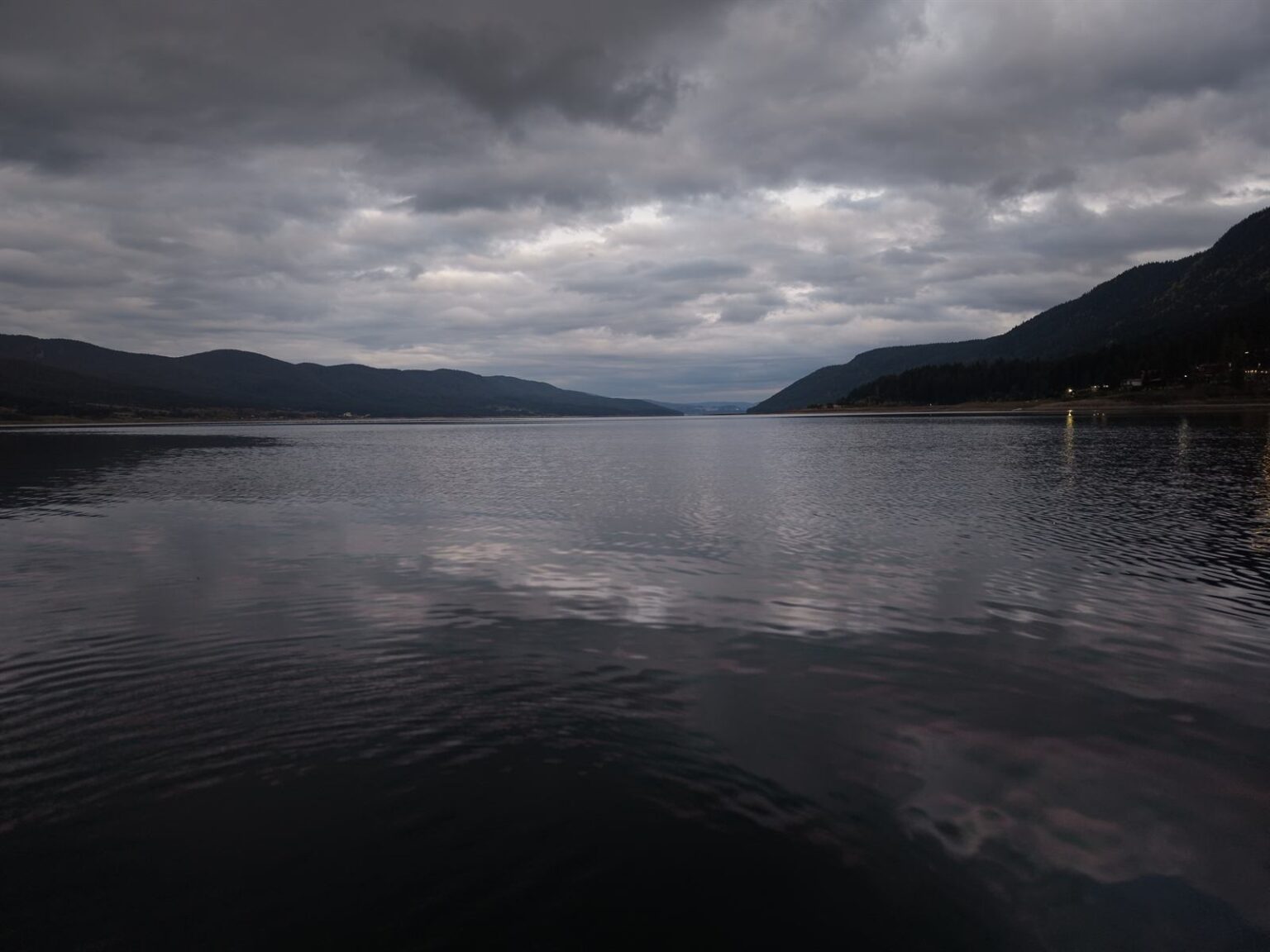
Half of Dospat Reservoir falls within the municipality. The water is used differently here than on the opposite bank: boats, canoes and kayaks work its surface, and a trip across to the far shore is among the most common things visitors do. Fishing is the reason many people come at all — carp, perch, mullet and crucian carp are all taken from the reservoir. The shore is not laid out as a resort promenade; between the water and the forest there is simply a strip where you stop.
The views from above
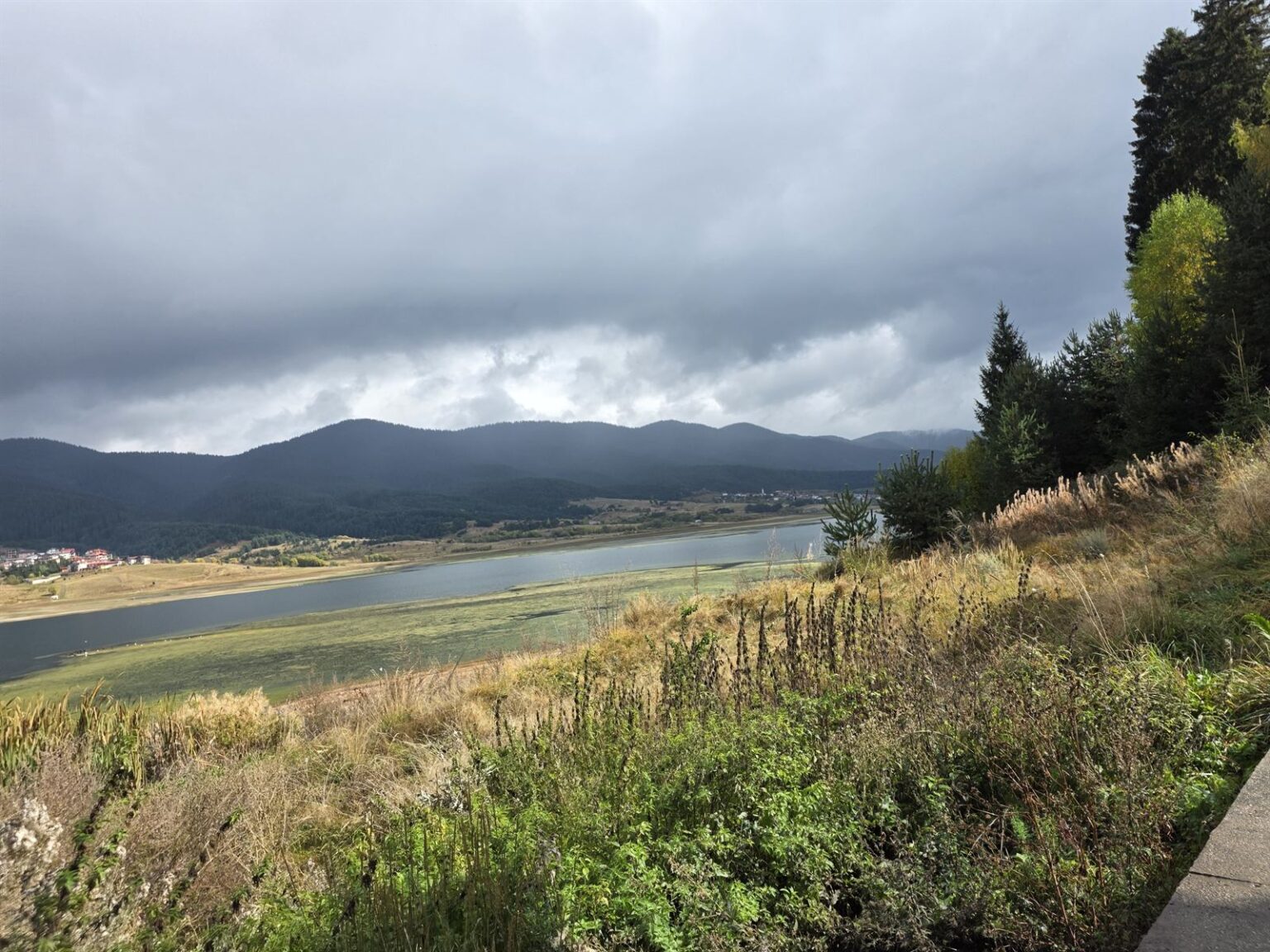
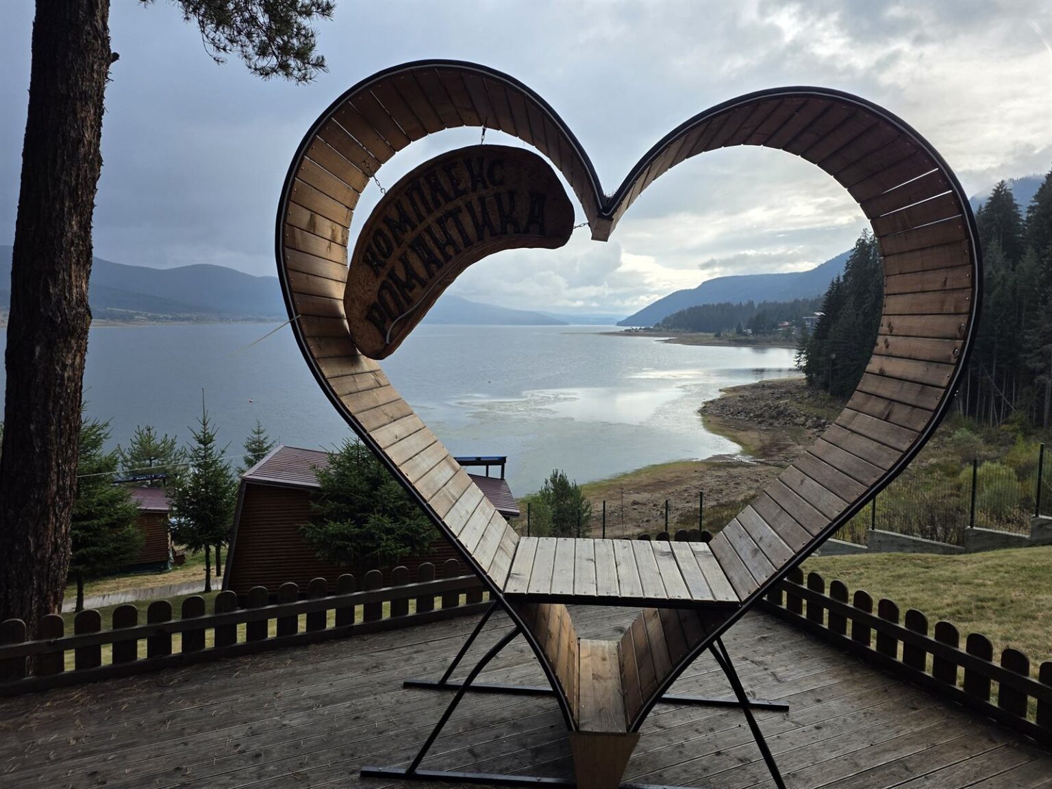
The best-known view in the area is from Sarnitsa Ay — an eco-trail that starts on the southern shore and climbs to around fifteen hundred metres. At the top there are benches and a wooden shelter, and below them the whole reservoir unfolds. The easier option is the viewpoint above the town, where a heart-shaped frame has been installed — one of those structures that exist for the photograph, though in this case it genuinely stands in front of something worth the shot. From up here you see what the shore hides: how narrow the inhabited strip is between the water and the forest.
Fitting it into a route
Sarnitsa and Dospat are visited together — the shore road between them is the attraction in itself and takes half an hour. Eastwards, the road through Borino leads to Devin and on to the Vacha, while to the south lie the village of Dolen, Yagodina Cave and the Trigrad Gorge. Coming from the north you pass Golyam Beglik and Shiroka Polyana — four reservoirs before the fifth.
Related video: the town, the inlets and the shore road are best seen from the air in the episode Sarnitsa from the Sky – The Calm of the Rhodopes, part of the Bulgaria From Above series.