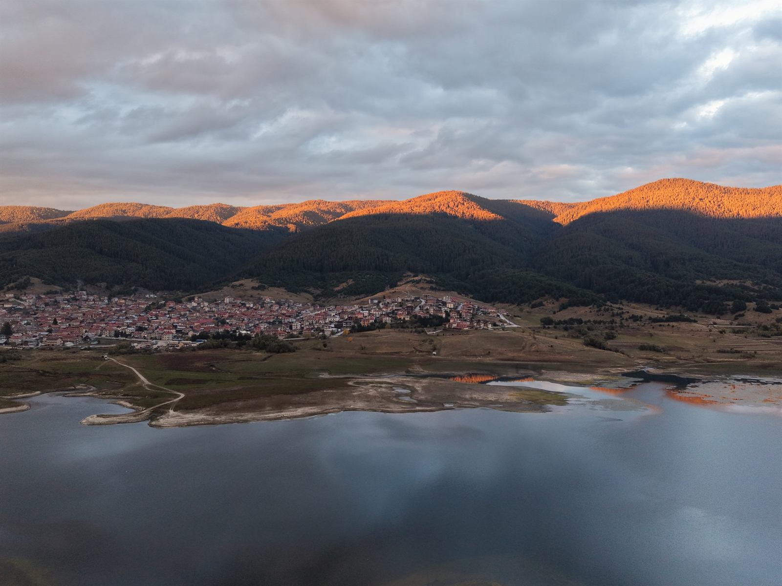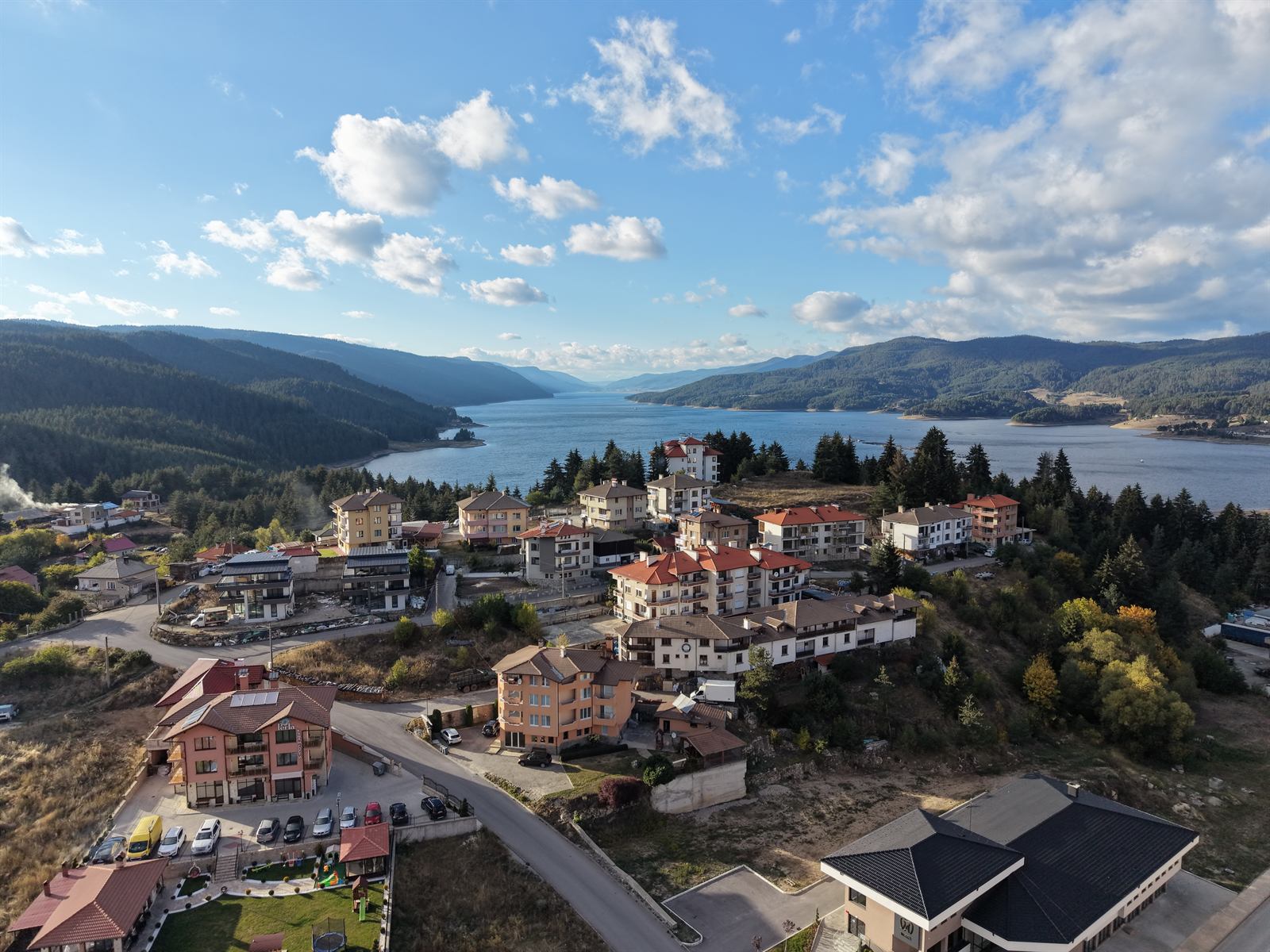
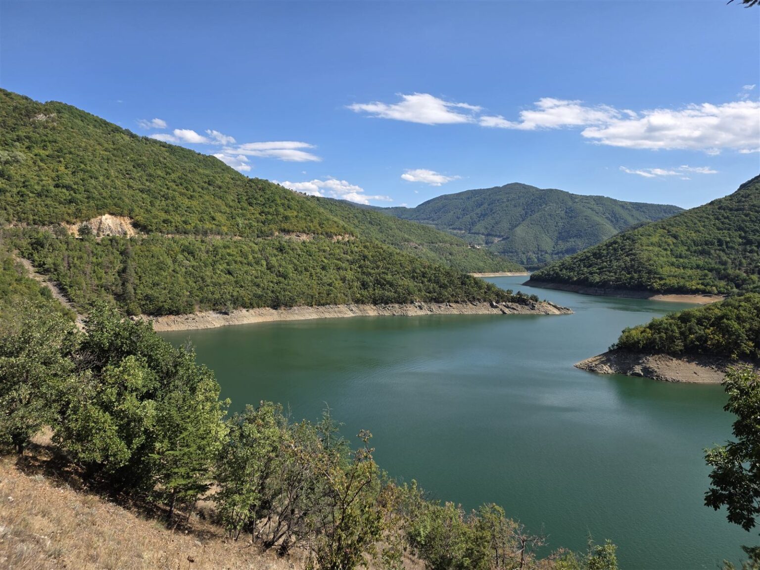
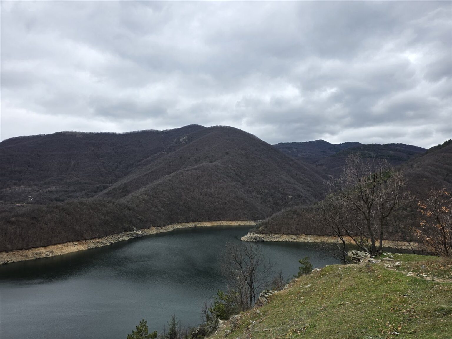
Vacha is a reservoir in the Western Rhodopes, on the border of the Plovdiv, Pazardzhik and Smolyan regions. The river it is named after rises high in the mountains and fills a narrow gorge on its way down to the dam wall — the tallest in Bulgaria at 144.5 metres. Between Krichim and Devin the road follows the shoreline for long stretches, and the view changes with every bend: a narrow gorge between wooded slopes one moment, a wide sheet of water below the ridge the next.
| Where | Western Rhodopes, on the Vacha River, on the border of the Plovdiv, Pazardzhik and Smolyan regions, between Krichim and Devin |
| Getting there | by car along the Krichim – Devin road; about 46 km (50 min) from Plovdiv, about 165 km (2 h) from Sofia via the Trakia motorway to Plovdiv and then through Krichim; no regular bus service |
| How long | half a day for the shore and a few viewpoints; a full day with the eco-trail and fishing |
| Dam wall | concrete gravity dam, 144.5 m – the tallest in Bulgaria; 420 m long, with 4 spillways |
| Entry | free, open access. Check current conditions for fishing and accommodation on rodopi.travel (Bulgarian only). |
| Activities | fishing (carp, catfish, whitefish, perch), boat trips, the Chilingira eco-trail (about 2 km, starting at the hotel complex of the same name) |
| When to go | spring and summer, while the slopes are green; in late winter the shores are quiet and nearly empty |
| Parking | a designated car park by the Chilingira complex, on the eastern shore |
A dam wall built over half a century ago
Vacha Reservoir was built between 1968 and 1975 on the river of the same name, as part of the Dospat–Vacha cascade run by Bulgaria’s National Electric Company – the second most important reservoir in the cascade after Dospat. Until 1999 it was named Antonivanovtsi, after a partisan detachment killed in the area in 1944; a memorial to them still stands a kilometre west of the dam wall. Its water supplies part of Plovdiv’s drinking water and irrigates the Plovdiv plain.
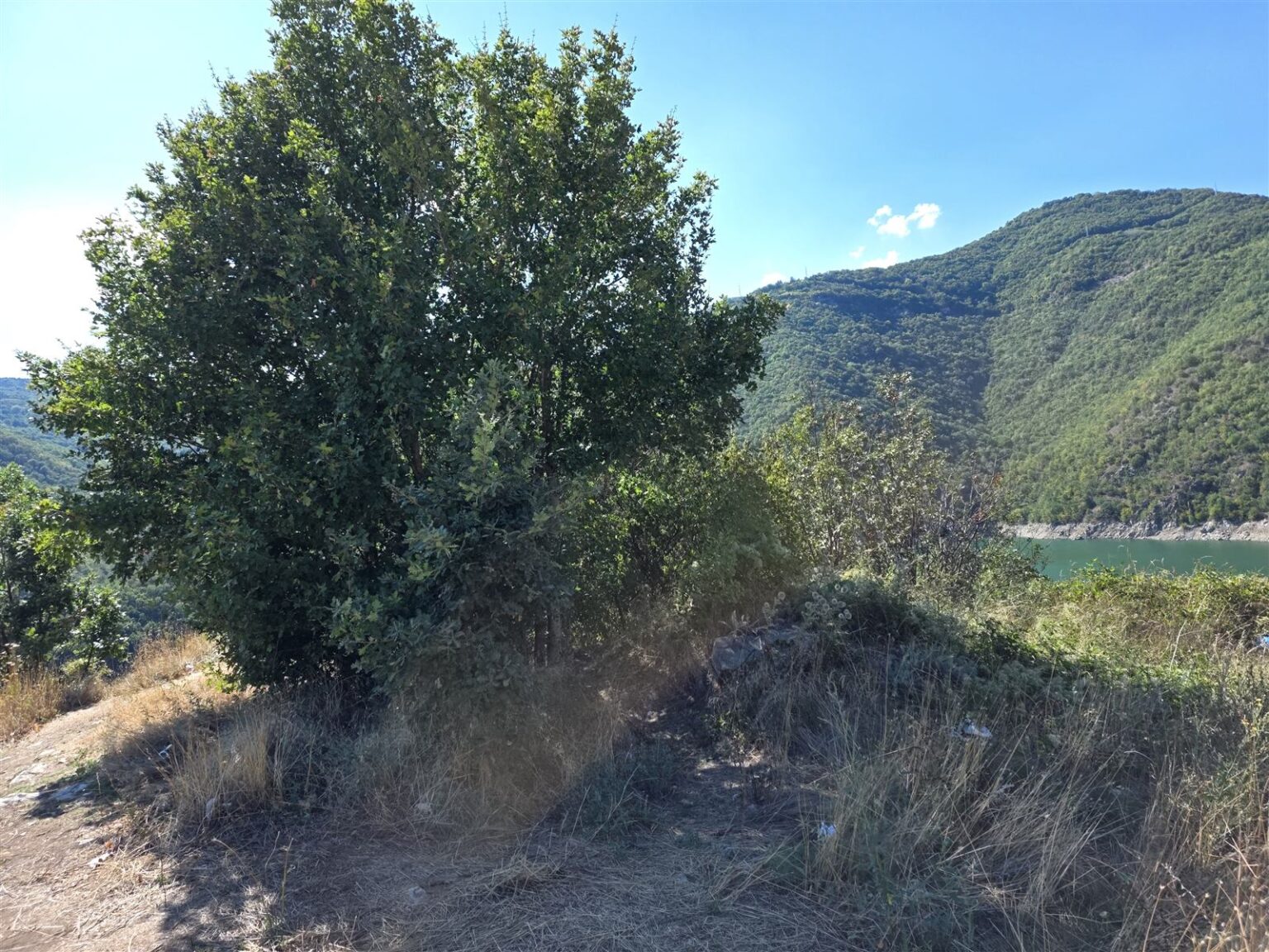
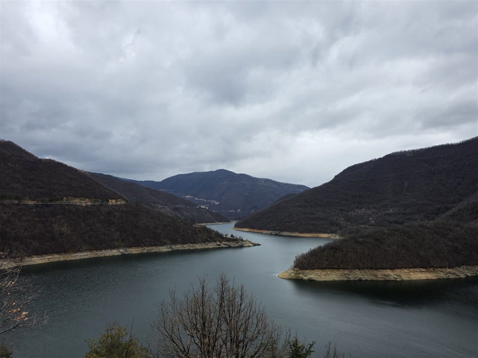
Between water and mountain
The reservoir stretches for about 15 kilometres along the narrow river valley, and its banks are steep and, in many places, impassable. That makes free camping difficult, but the shore has floating cabins, a lodge right below the dam wall, and a handful of eco-trails – the most accessible one starts at the Chilingira hotel complex and runs for about 2 km. The banks also attract anglers, even though there are only a few spots with easy access to the water: near the pontoon, by the dam wall, and along the Osikovsko gorge.
All along the road between Krichim and Devin, the reservoir appears and disappears behind the bends. The neighbouring town of Krichim keeps the region’s history on the same river, while further upstream lies the mountain town of Devin, known for its mineral springs.
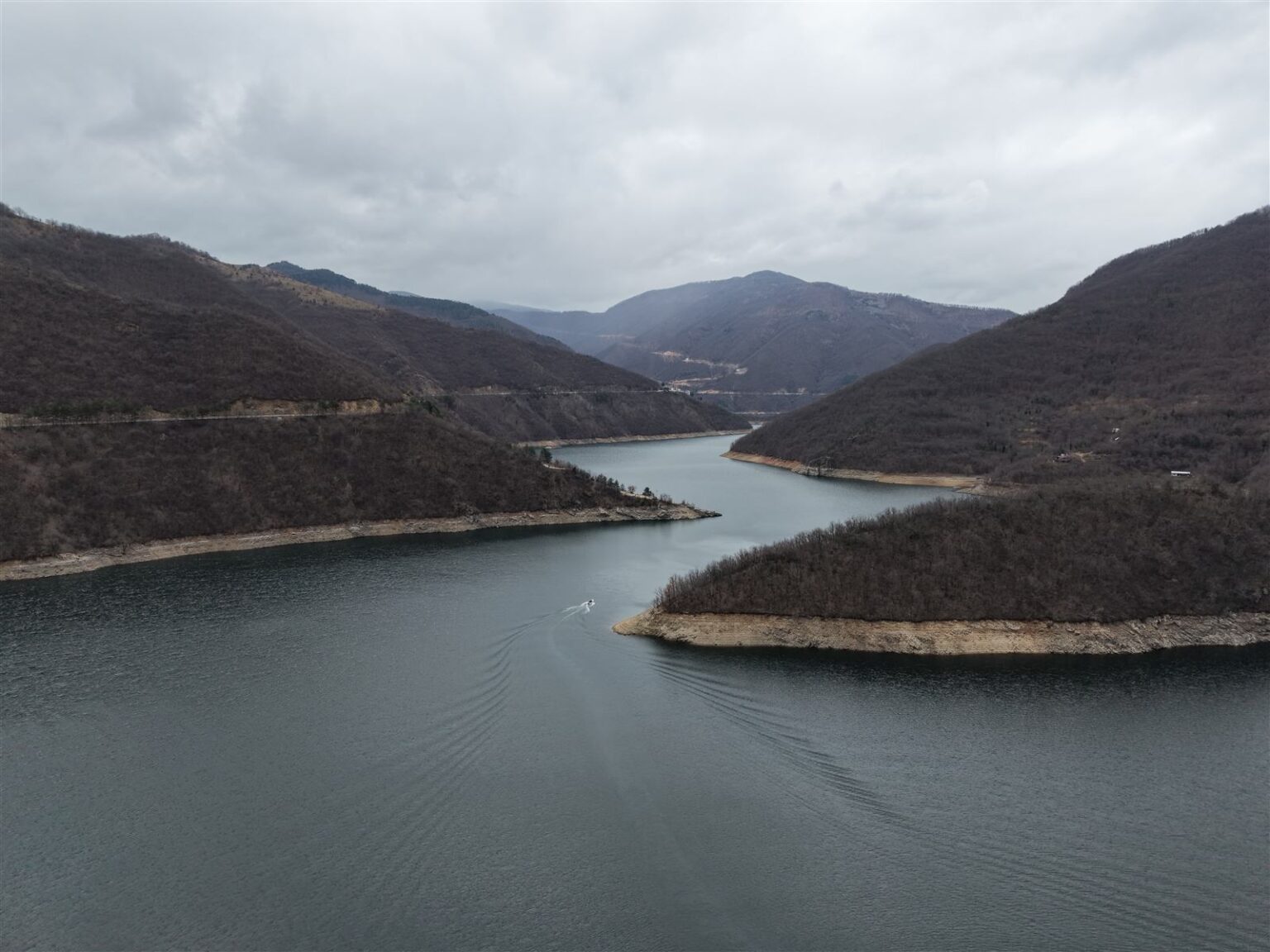
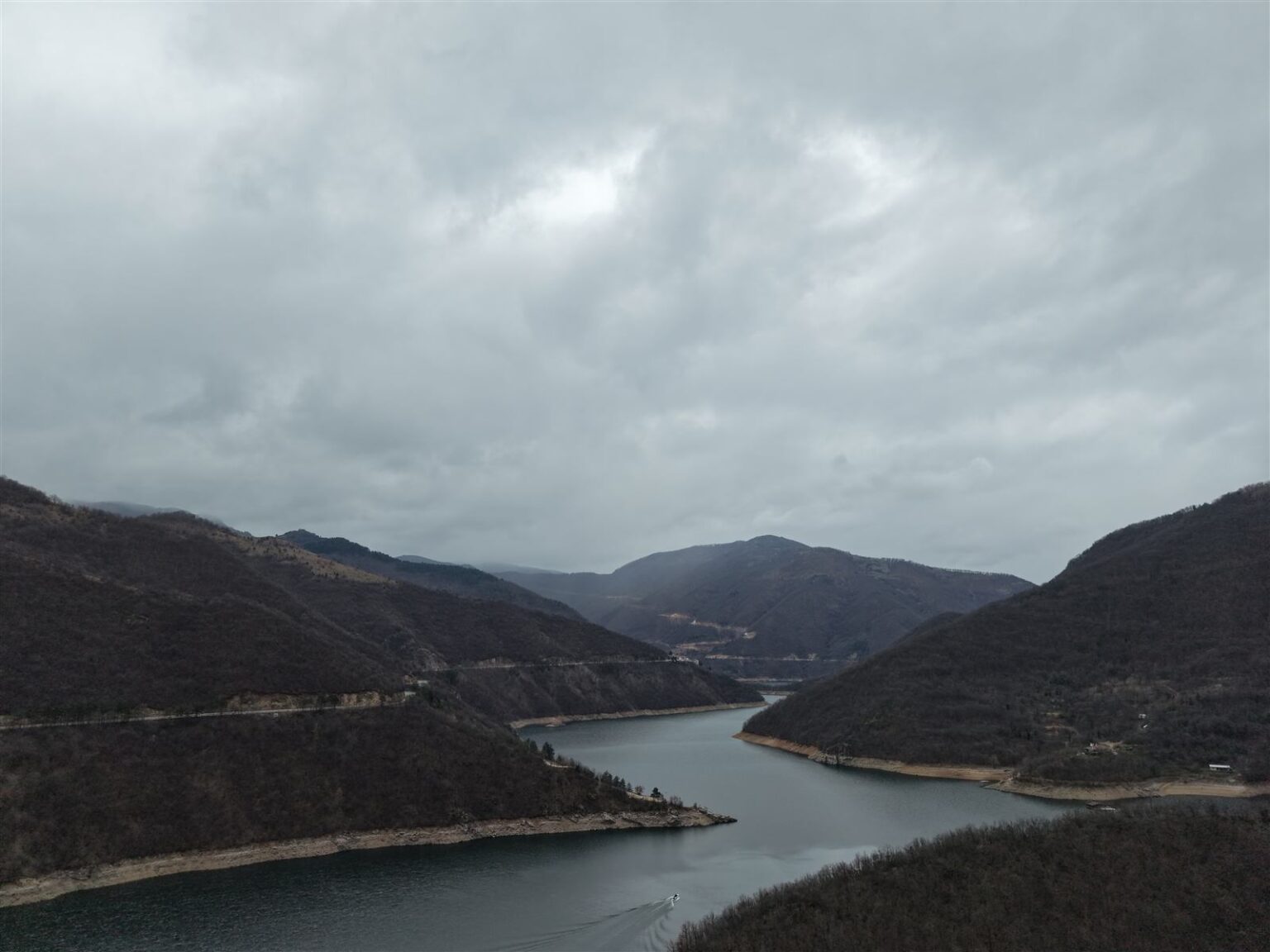
Related video: the reservoir, the river and the surrounding towns are best seen from the air in the episode Bulgaria From Above: Devin, Vacha & Krichim – A Scenic Journey Through the Rhodopes, part of the Bulgaria From Above series.