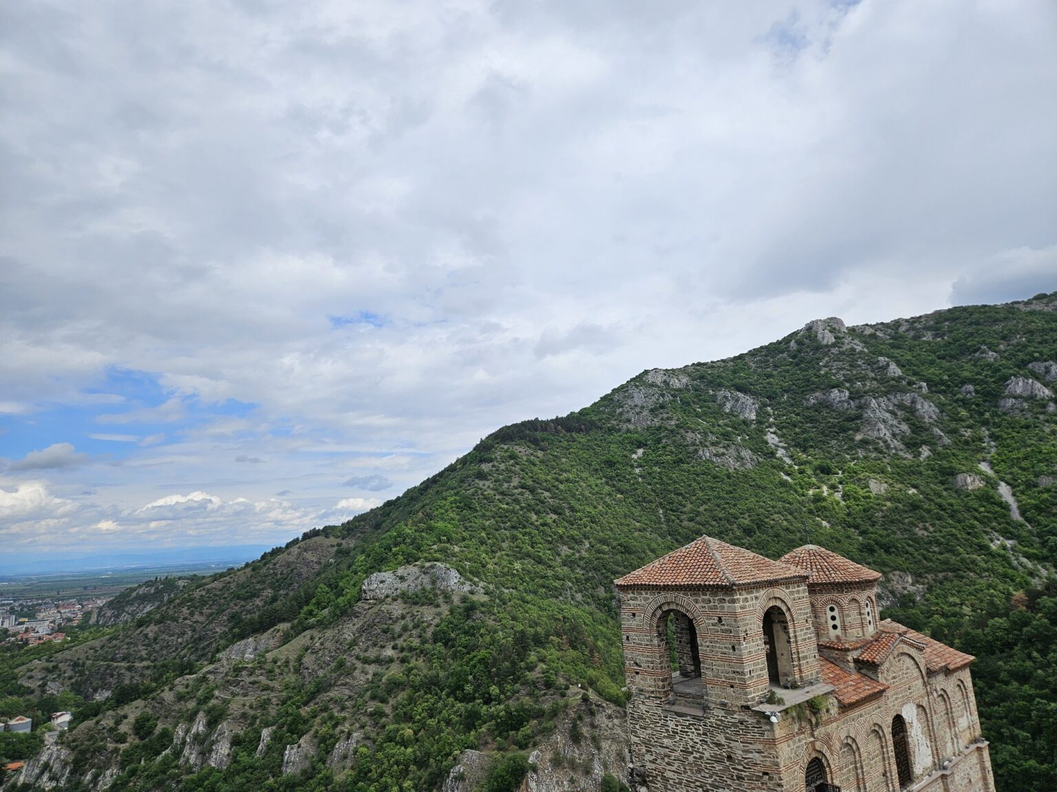
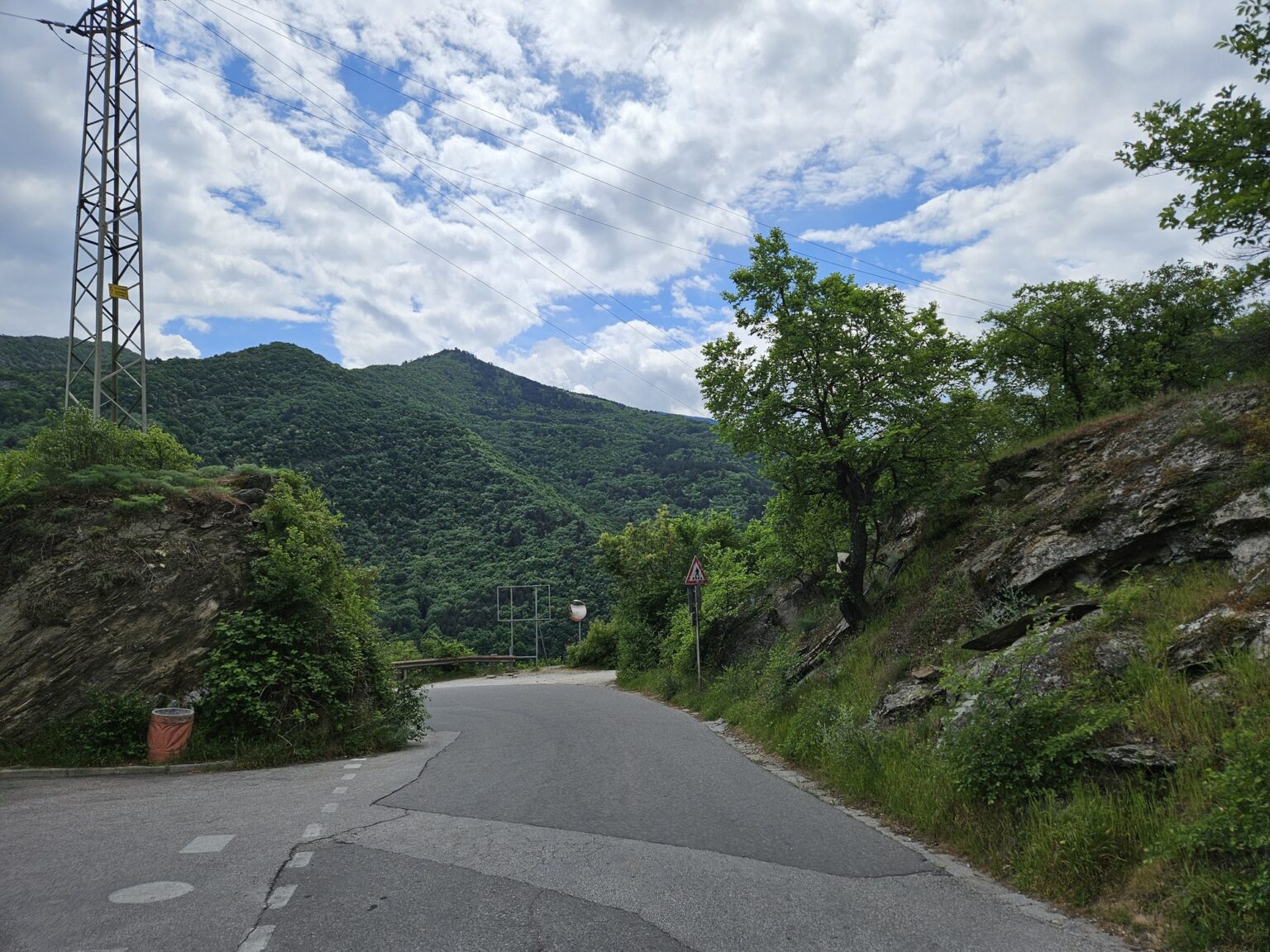
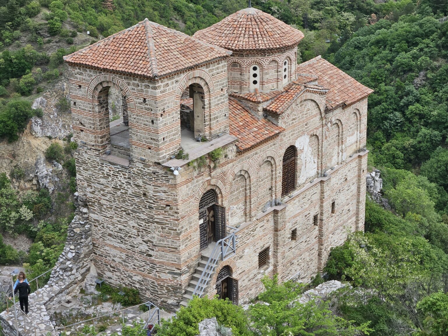
Asen’s Fortress takes no finding. Leaving Asenovgrad on the road towards Smolyan and Bachkovo, a turning goes right almost immediately after the last houses, onto a panoramic tarmac road that climbs through forest and ends underneath the rock. The surface is good and coaches use it. From above the fortress doesn’t look large. The large thing here is the rock it stands on.
We have a photograph from this spot taken ten years ago, and this time we recreated it — same place, same angle, same pose. The fortress and the landscape haven’t moved much. We can’t say the same for ourselves. 😀 Budget about an hour for the site itself, or an hour and a half if you park lower down and walk up.
| Where it is | the Rhodope mountains, on a rock spur above the Asenitsa river, 2–3 km south of Asenovgrad, about 20 km from Plovdiv; Google Maps |
| Getting there | by car on the Asenovgrad – Smolyan road, turning right just after the town, then a signposted climb; there is no bus to the gate |
| How long | about an hour for the walls and the church; an hour and a half if you park below and walk up |
| Opening hours | Monday to Sunday, no closing day. The municipal tourism office lists 09:00 – 20:00; the Bulgarian Tourist Union publishes it seasonally: 09:00 – 18:00 in winter and spring/autumn, 09:00 – 20:00 in summer (Friday and Saturday to 22:00). Check the current times on the official Asenovgrad tourism page. |
| Admission | €4.09 adults, €2.56 students and pensioners, €3.07 per head for groups over 10, €7.67 family ticket (parents with children under 7), €1.53 for visitors with disabilities on production of a document. One ticket covers the whole site — the church is included and no separate charge for it is advertised. A guided talk costs extra, from €7.67 in Bulgarian. |
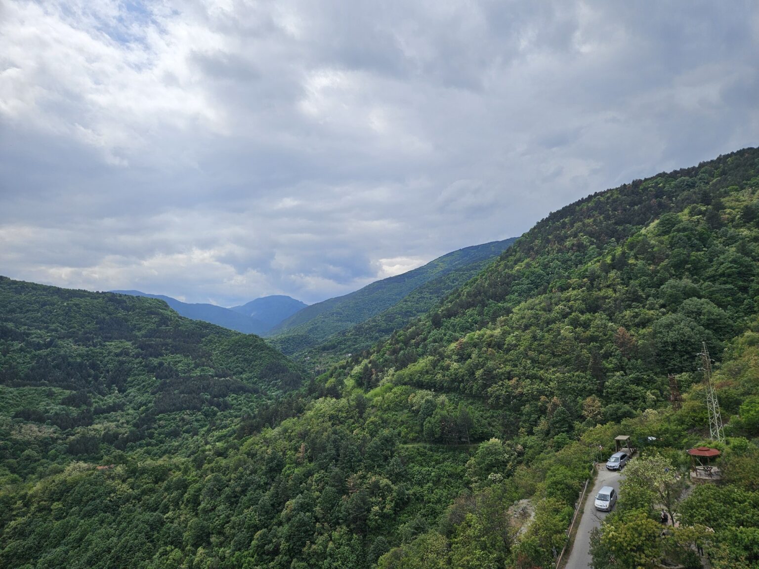
| Parking | there is a car park with 15 spaces above the visitor centre, per the Bulgarian Tourist Union. Whether it is charged, we could not confirm — no tariff is published anywhere. Free roadside parking exists a few hundred metres lower, a 3–4 minute walk below the gate — the pull-in, for reference. Signs and rules here change often; read them on the spot, and the call is the driver’s own. |
| 100 National Sites | site no. 47 in a long-running national scheme in which hikers collect stamps in a booklet at a hundred landmarks — this one has a stamp |
| Best time | April–May and September–October — the forest around the rock is half the view, and there is no shade at all on the summit in July |
The liturgy that never ends
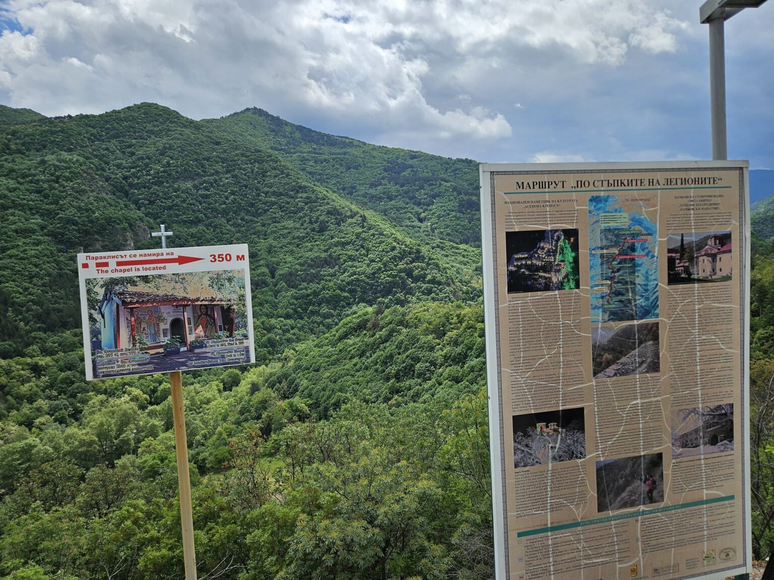
A little history first, for mood. A sign at the entrance advertises a “route in the footsteps of the legends”, and that isn’t marketing copy: a whole cluster of stories hangs on this rock. The most persistent one concerns Father Anthimos and a service that has been repeating itself for five centuries:
On Christmas Eve a man from the town below sheltered near the fortress from a storm and found the church whole and lit — the bell ringing, the chanters singing, incense in the air, and the congregation dressed in the clothes of centuries long gone. The moment the priest spoke the final “Amen”, the lights went out and the building returned to its ruins. It was the last service of Father Anthimos, sentenced five hundred years earlier to repeat it — because he had once rushed the liturgy so he could sit down sooner to the feast.
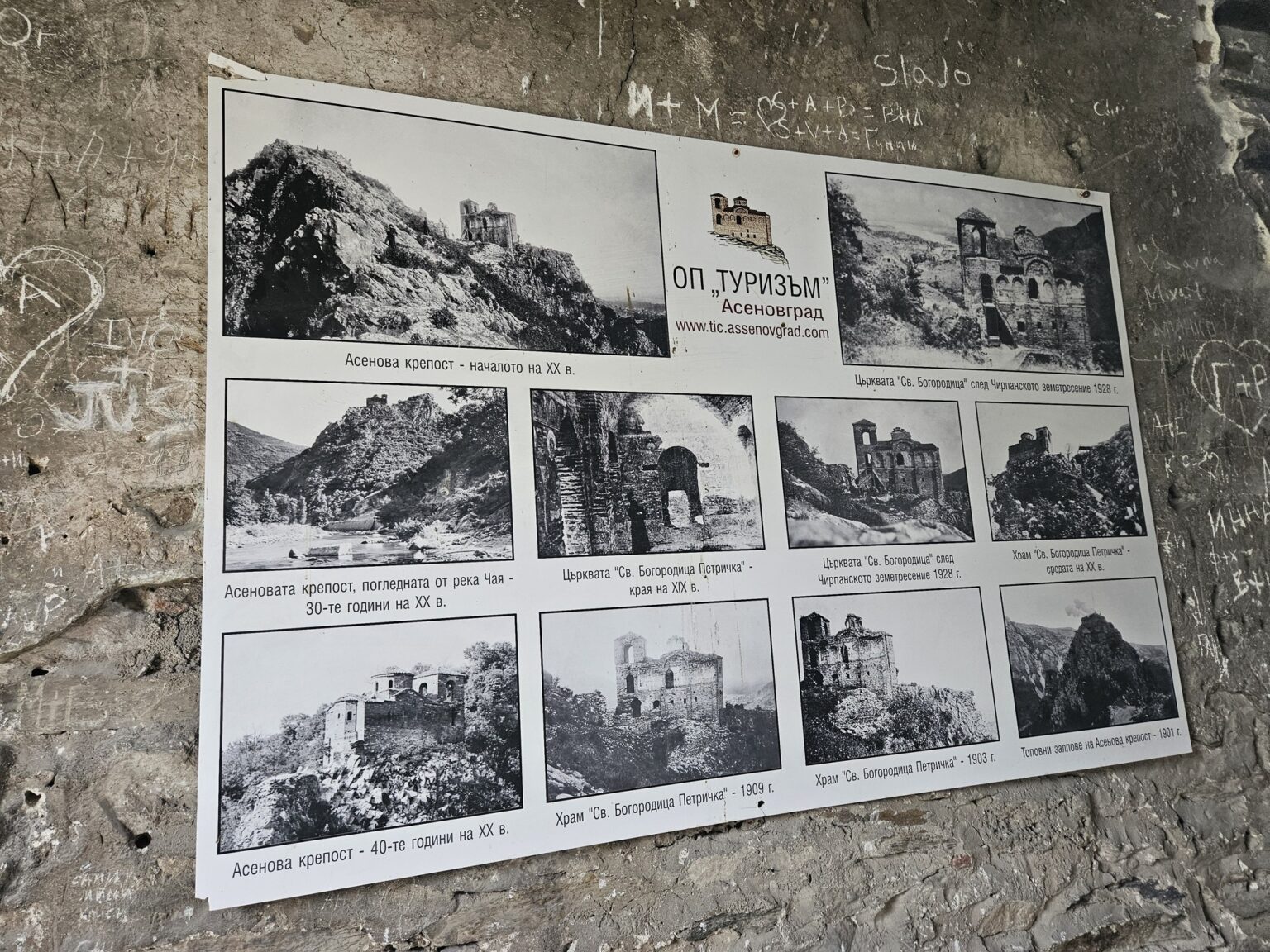
The name has a history too. Before it belonged to the Asen dynasty, the fortress was called Petrich, and it is under that name that it first appears in writing — in the 11th-century charter of Bachkovo Monastery, to which the Byzantine commander Gregory Bakuriani gave the fortress along with the surrounding villages. The church still carries the old name: the Holy Mother of God of Petrich. The town below was called Stanimaka and only became Asenovgrad in 1934.
The road up, the car park and the ticket desk
The panoramic road climbs through trees and bends often enough that the fortress stays hidden until the last corner. At the top there are fifteen spaces, which on a good weekend disappear quickly. We leave the car a few hundred metres lower and walk up in three or four minutes. Worth it anyway — from down there you can see how the rock lifts above the road.
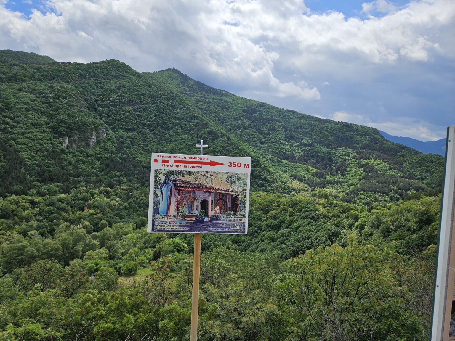
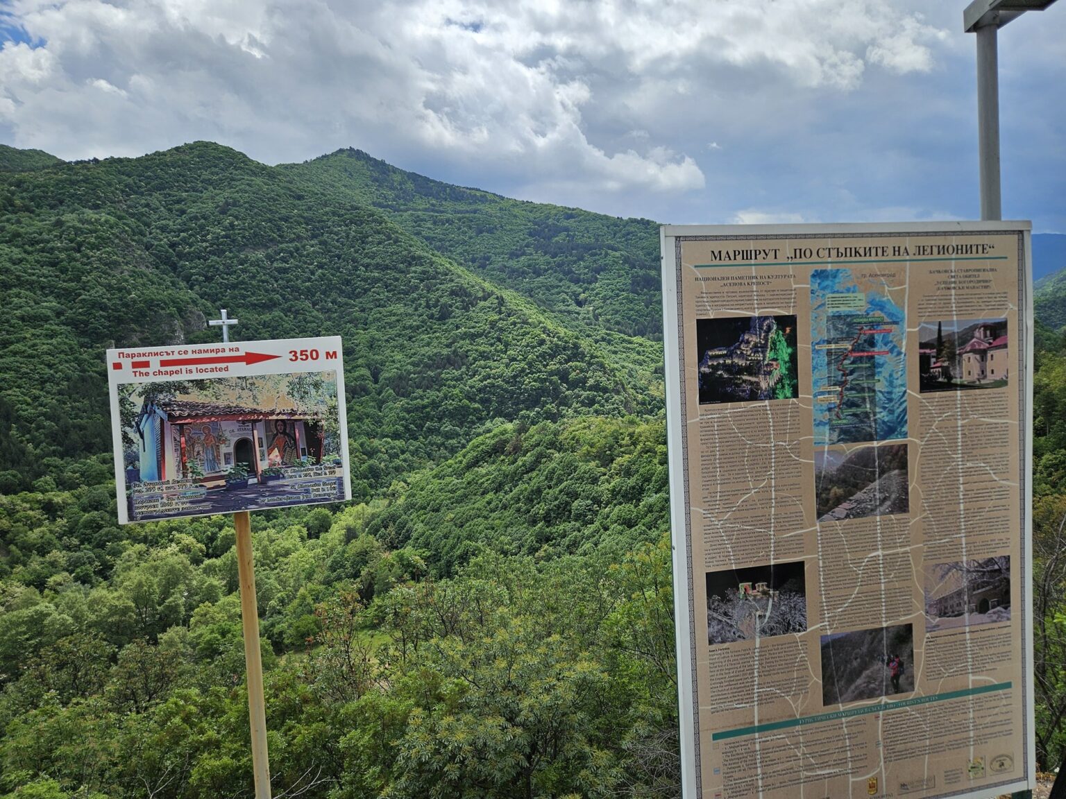
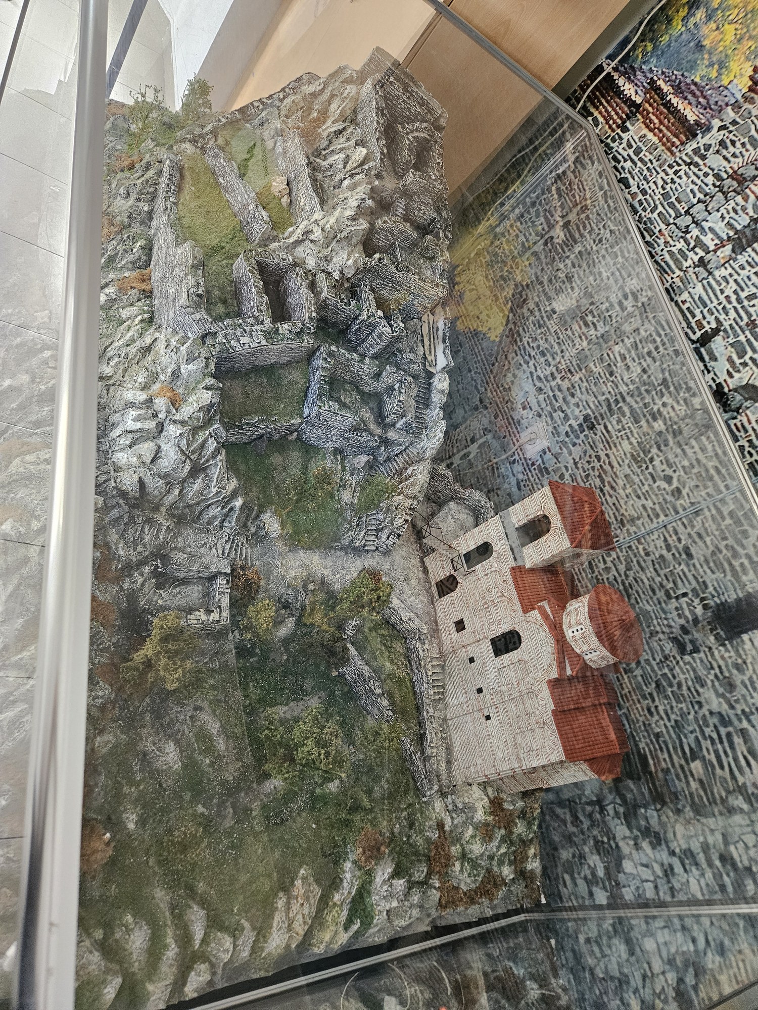
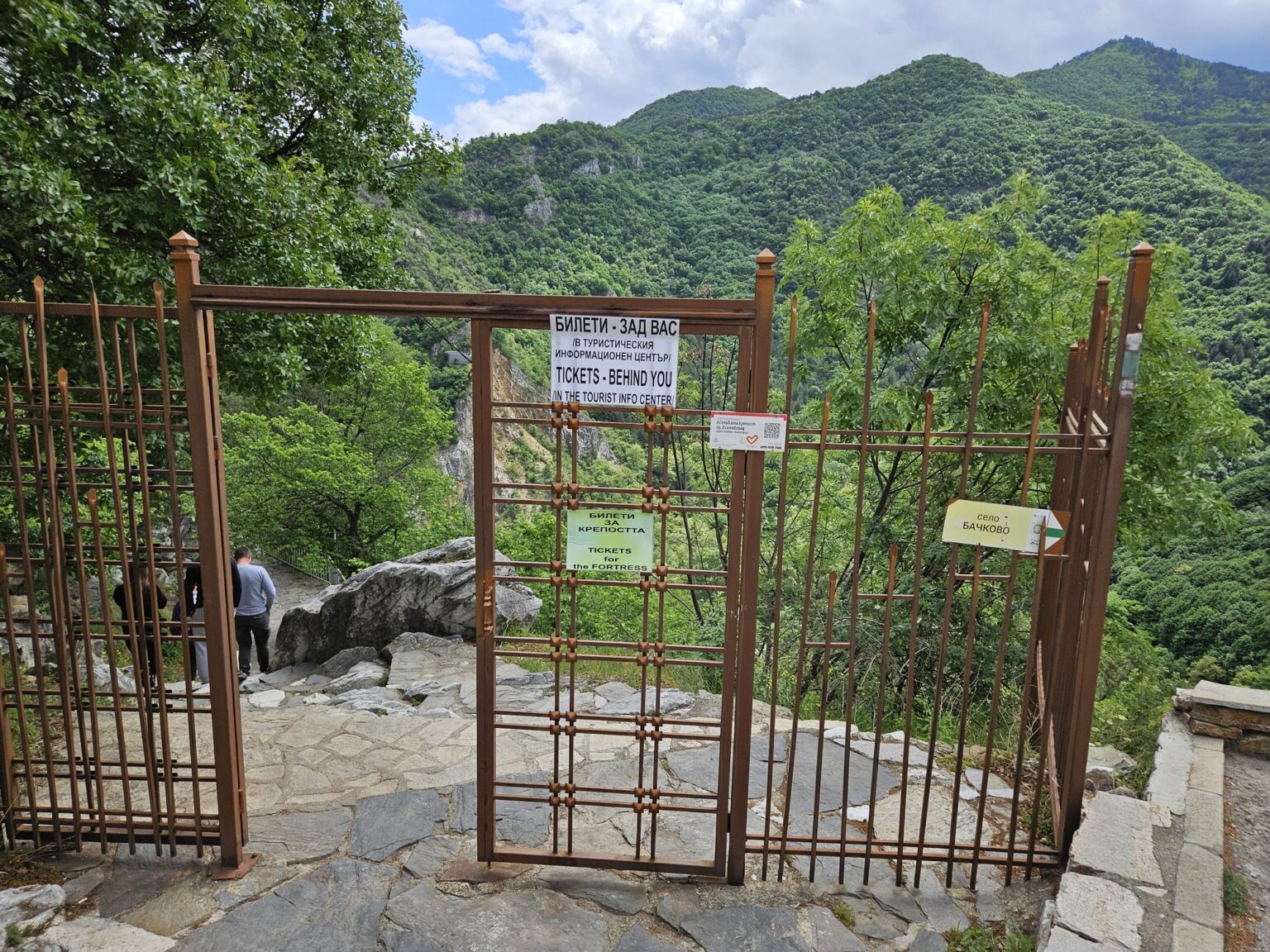
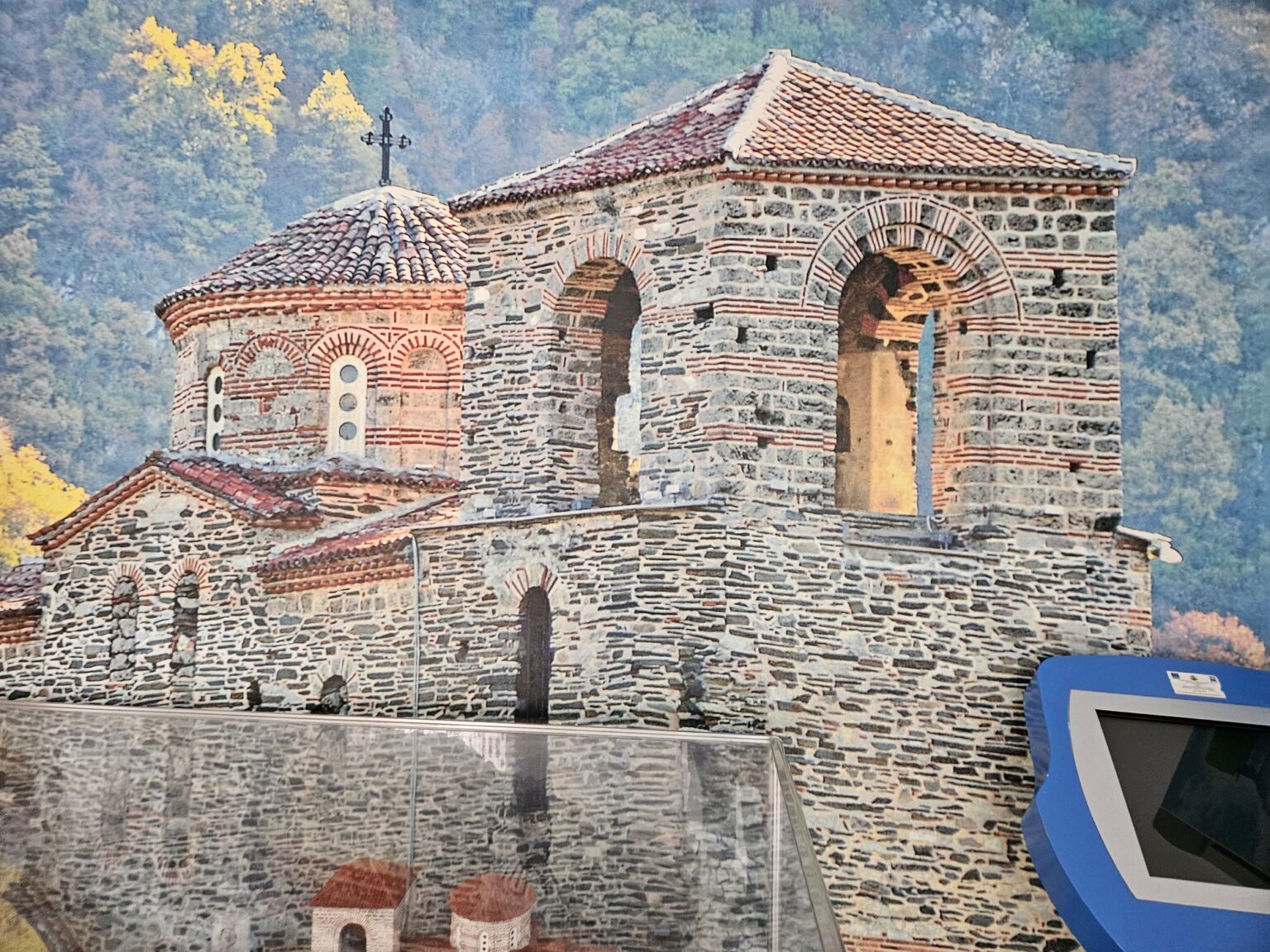
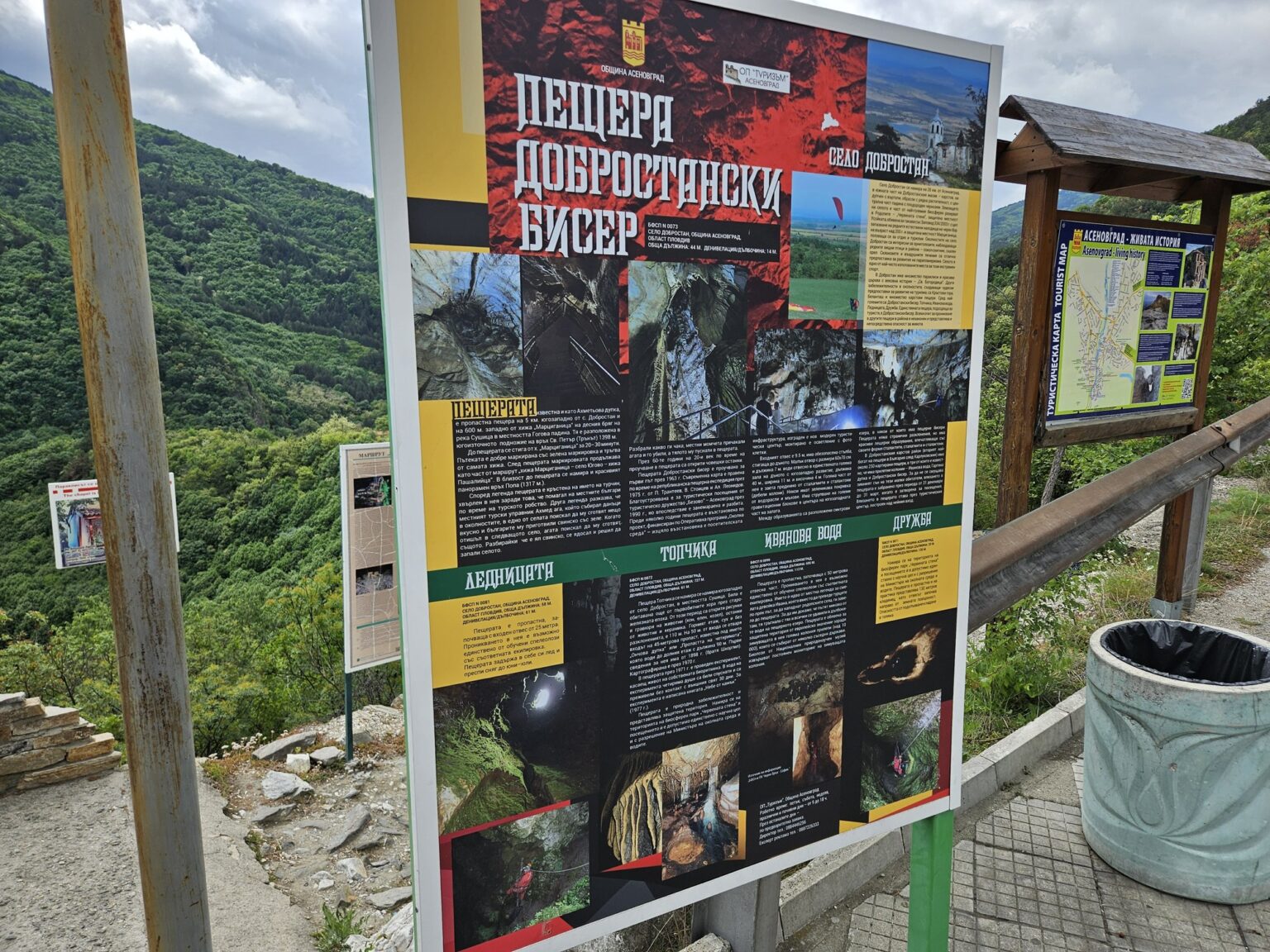
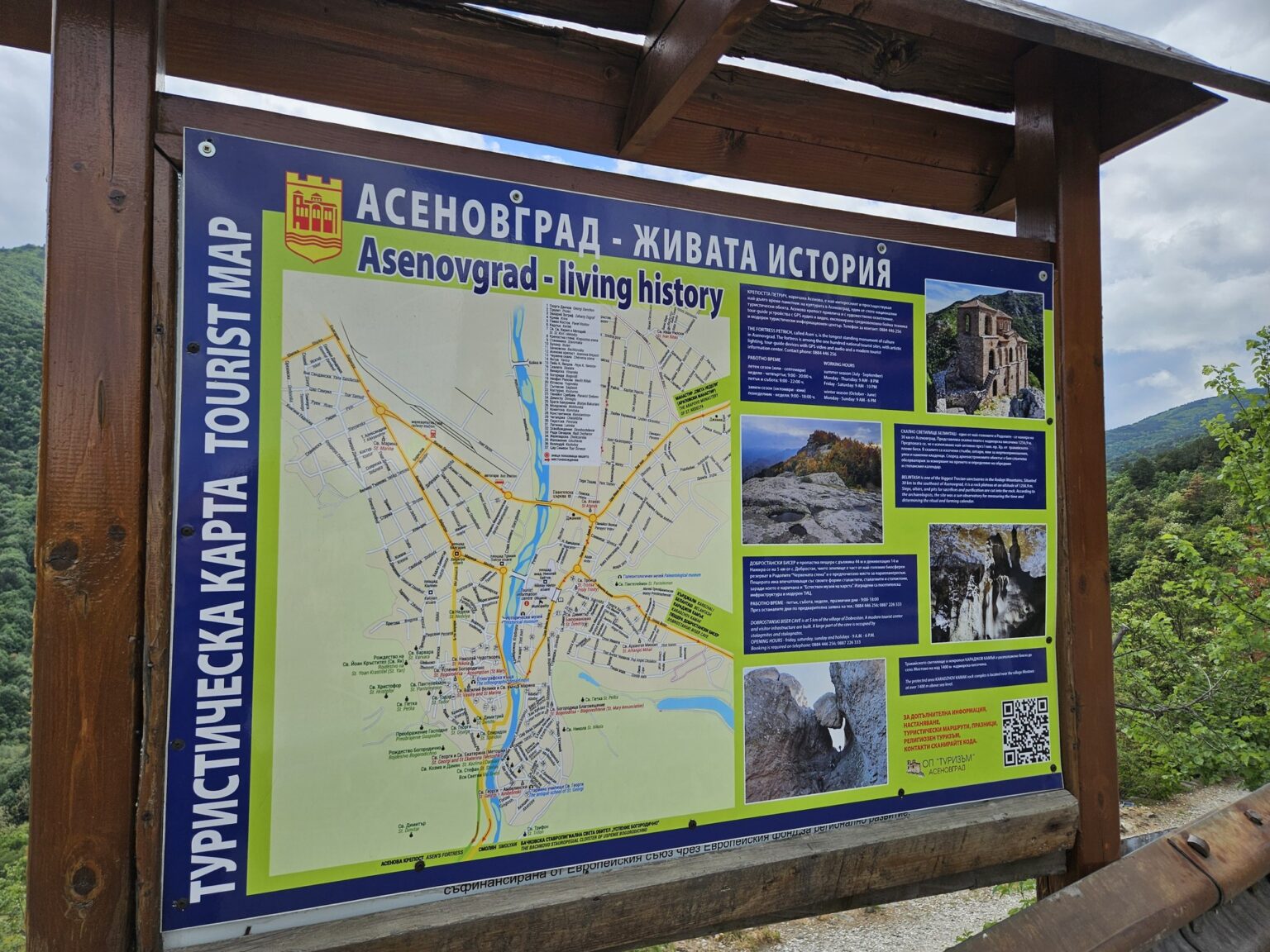
At the entrance the most honest sign on the site greets you: “TICKETS — BEHIND YOU”. 🙂 Inside, under glass, sits a model of the fortress and the church, and it earns its place — there is no angle up here from which you can work out what the whole thing once looked like. Around it stand boards on the history, on the Dobrostanski Biser cave further into the mountains, and on the marked walking routes.
Walls, gate and the path between them
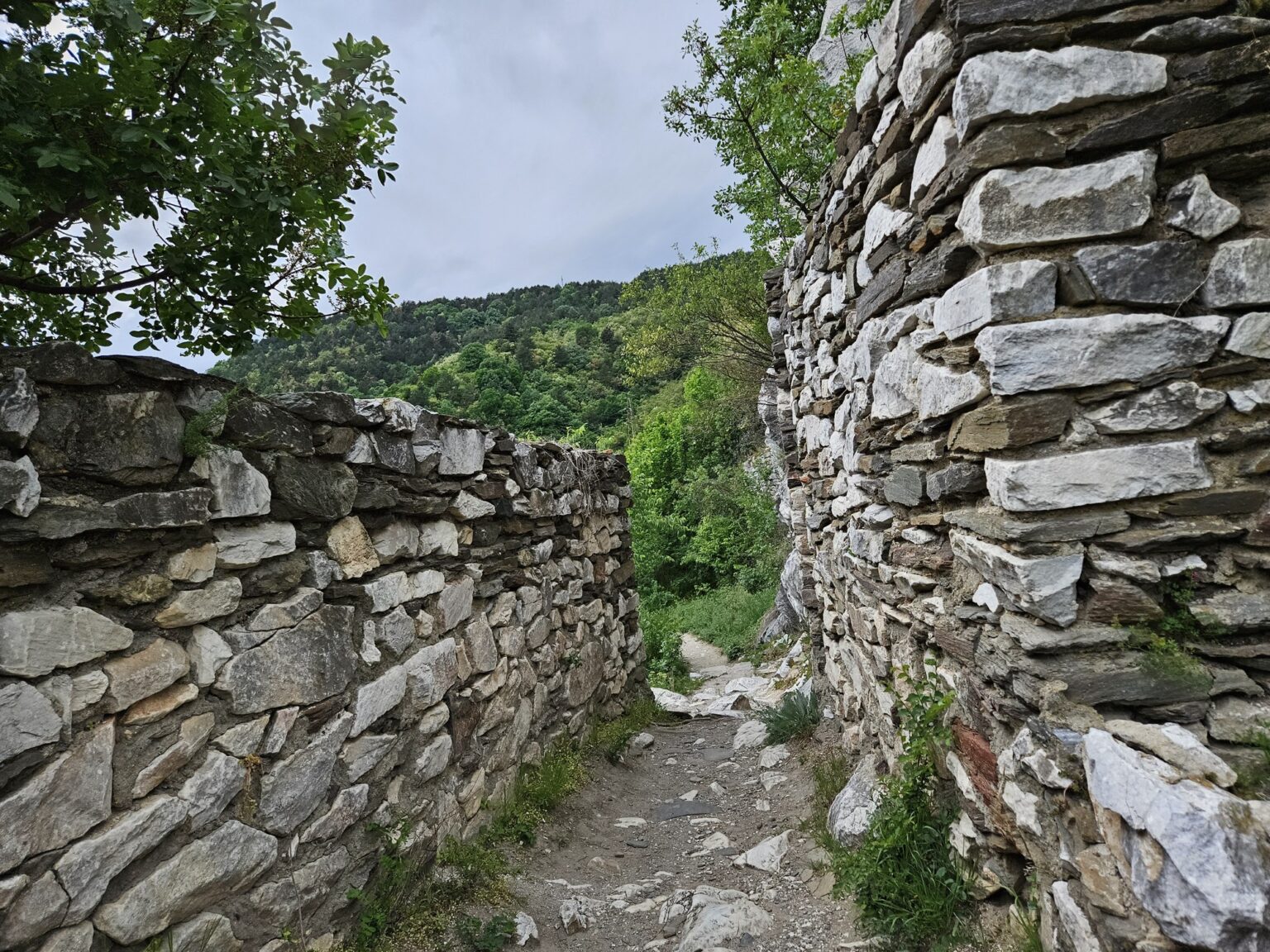
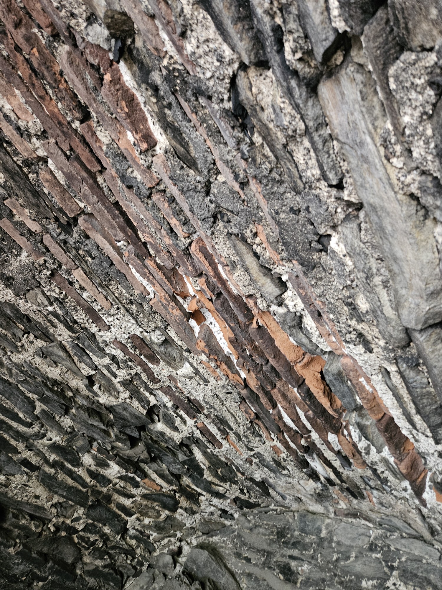
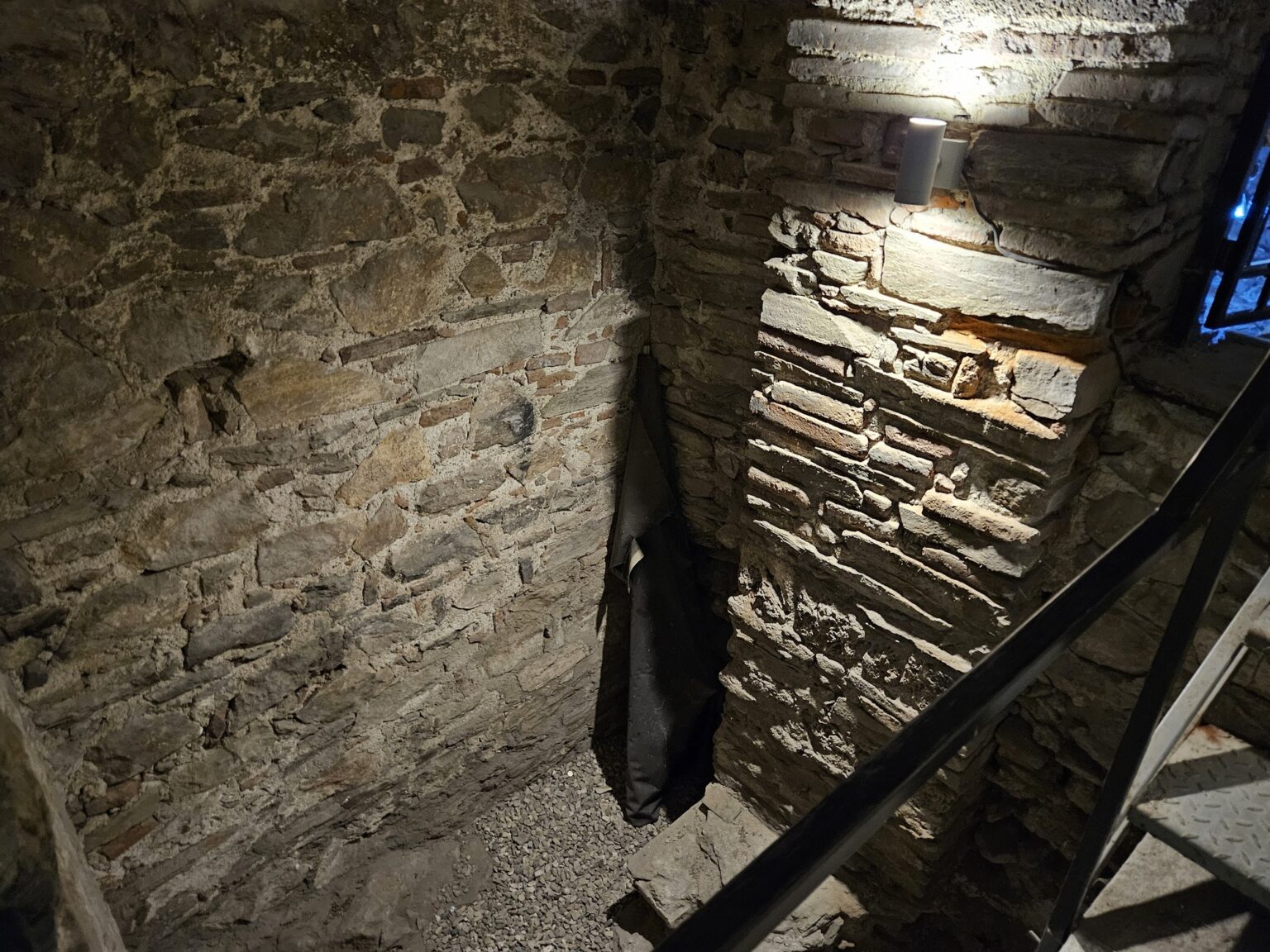
You go up through a narrow path with masonry on the left preserved up to three metres thick and two to four metres high. You walk literally between the walls — stone paving, a stone gate with an iron grille, an arch or two to duck under. What survives is the feudal castle: living quarters, the governor’s private chapel, two cisterns and a tower, all linked by stone stairways, according to Visit Plovdiv.
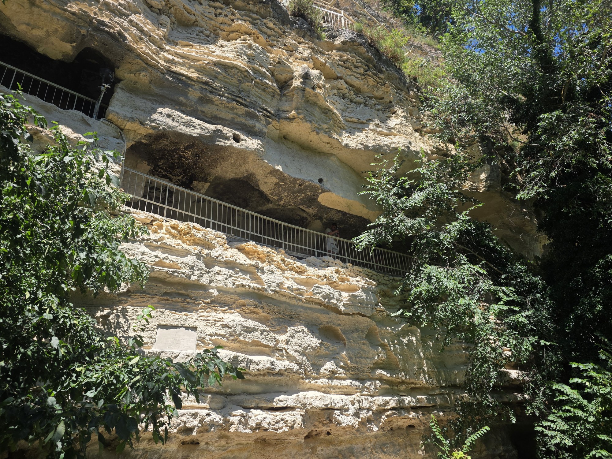
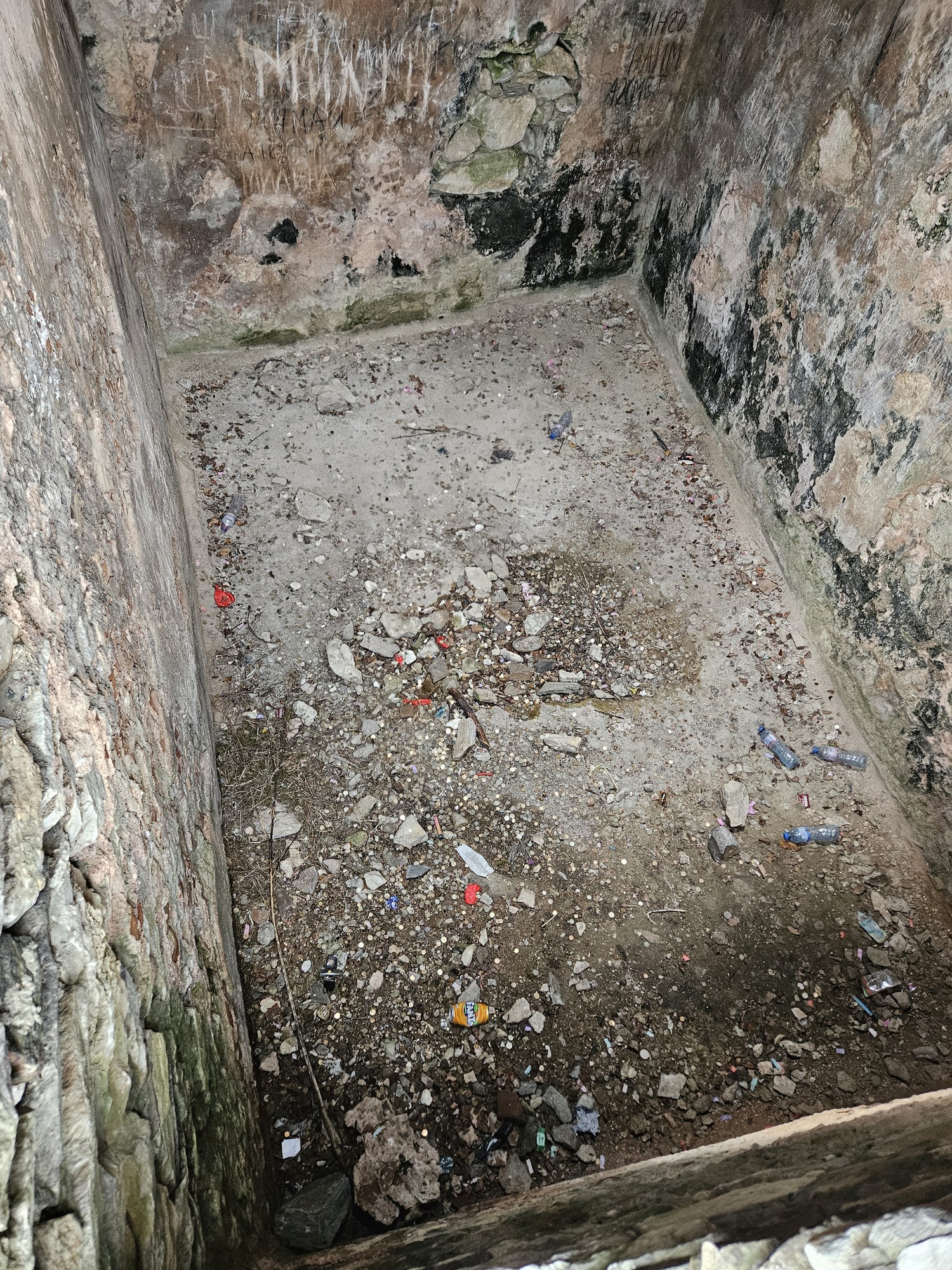
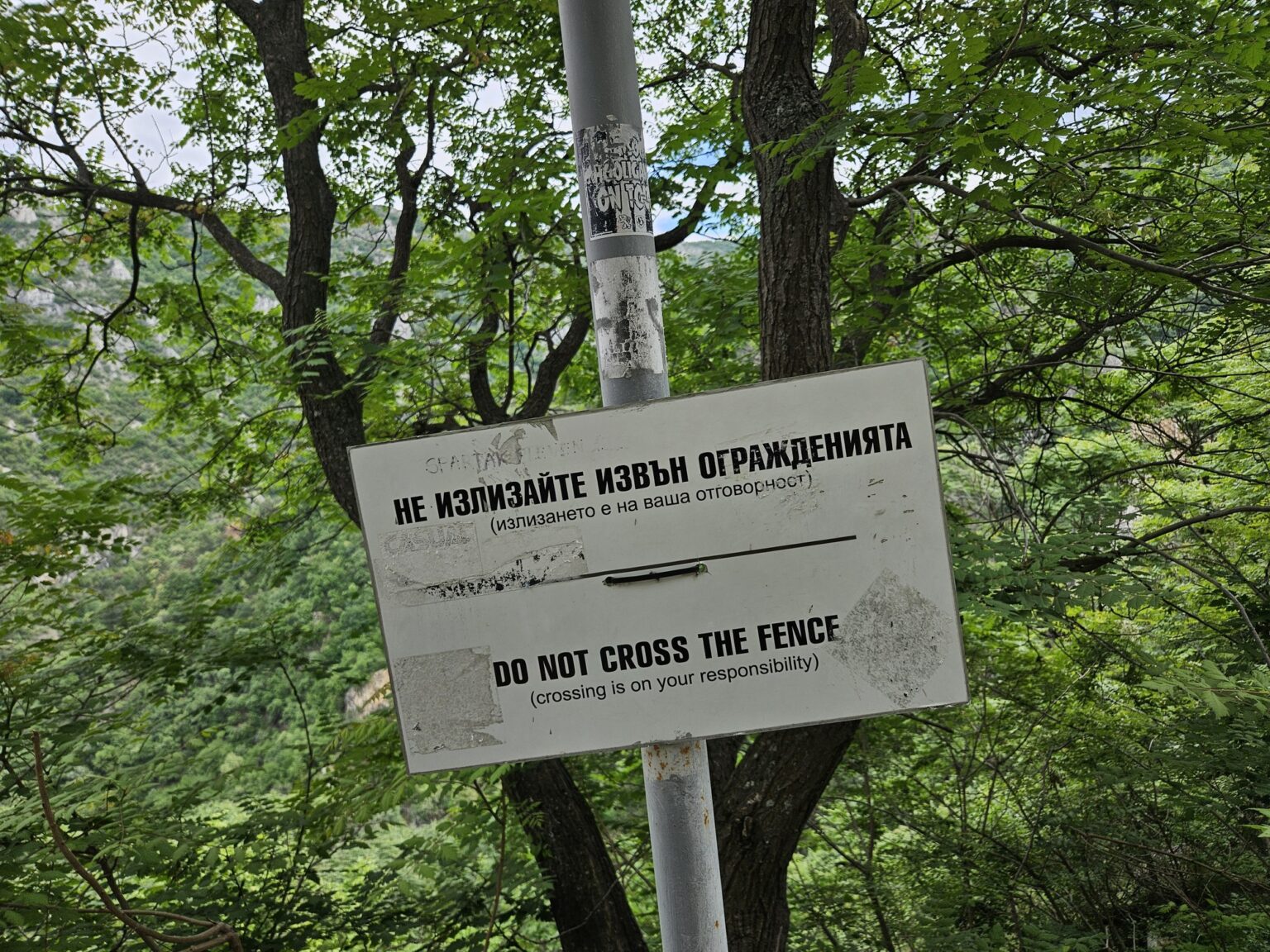
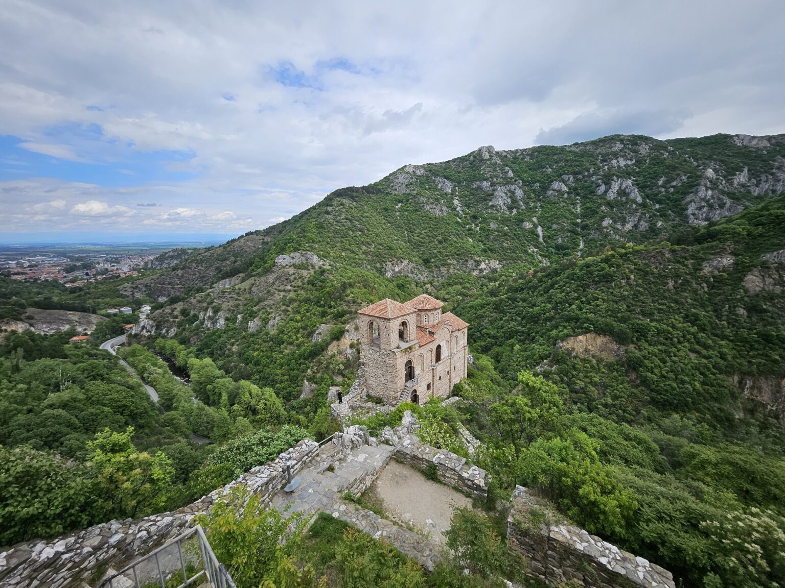
The rock underfoot is part of the site rather than scenery. The massif runs to about 1.2 hectares, is sheer on three sides and rises more than 100 metres above the river — which is the whole reason anyone built here. Work is going on in places: timber frames prop up walls and cover sections. One sign says simply “do not go beyond the railings”. It is not decorative advice.
The church that survives
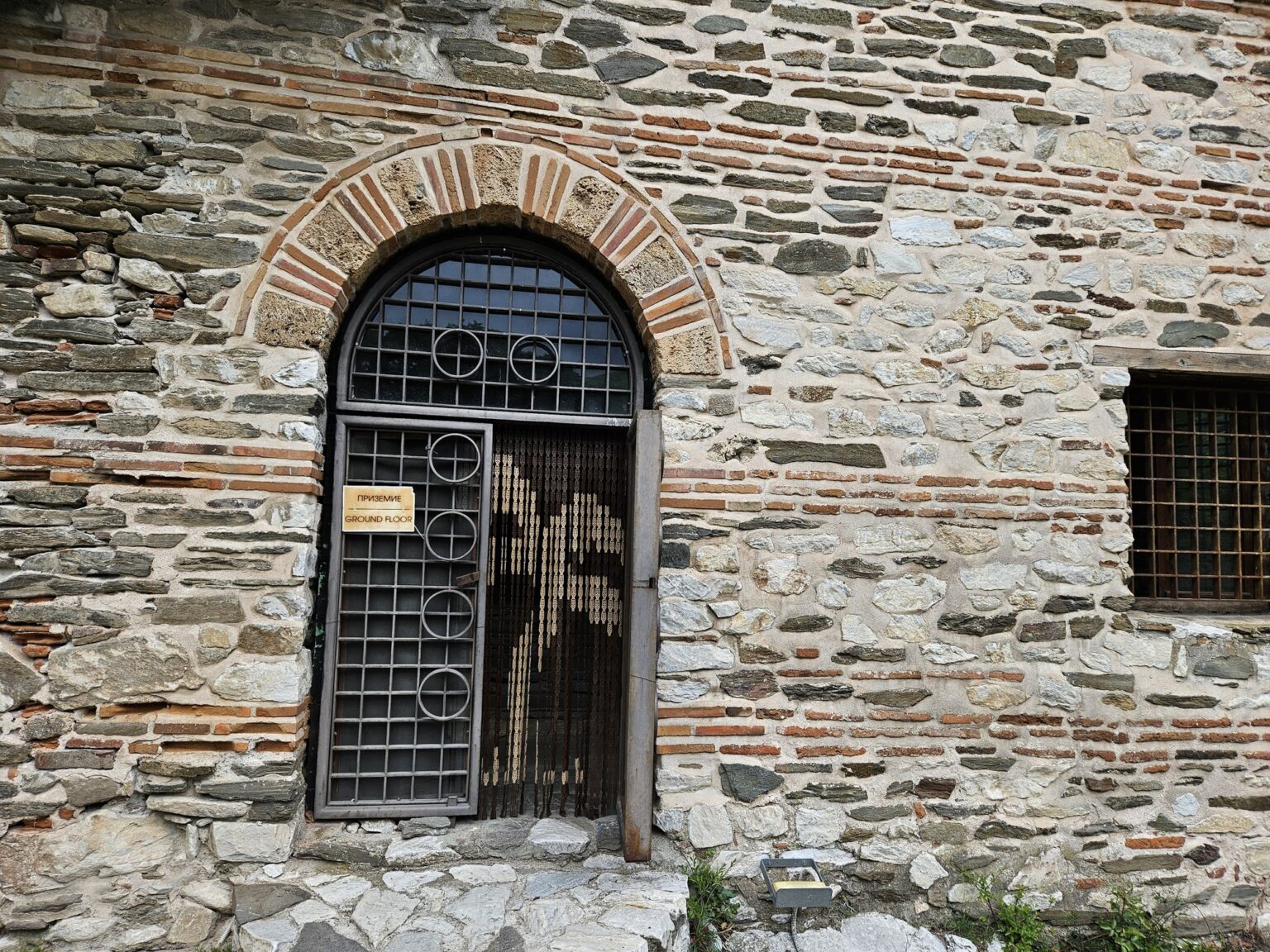
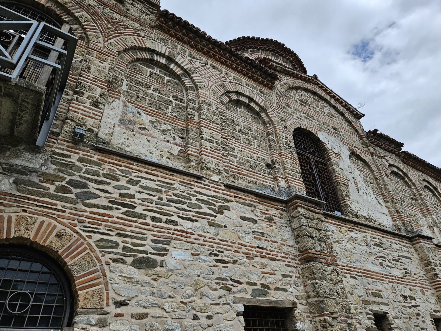
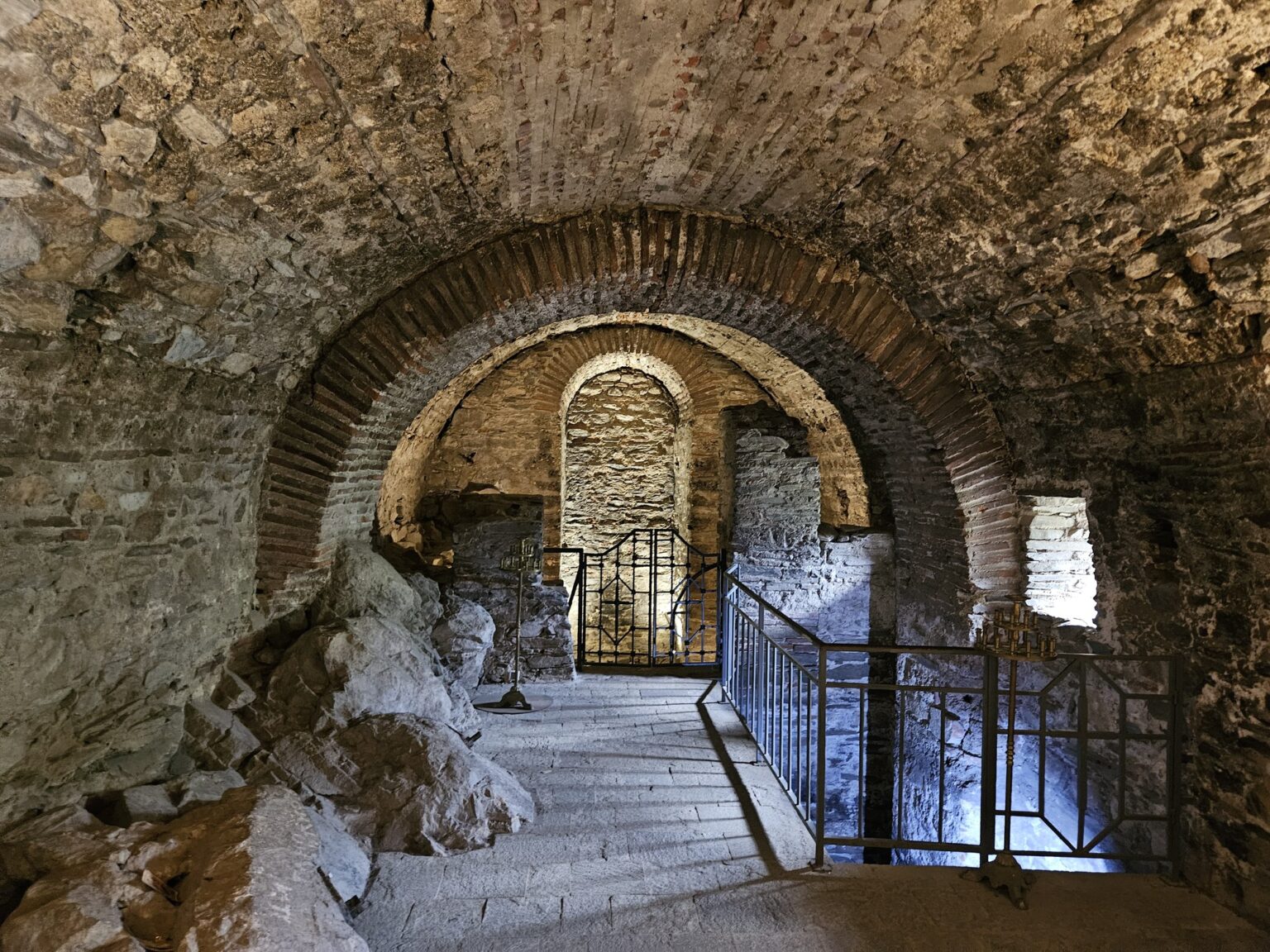
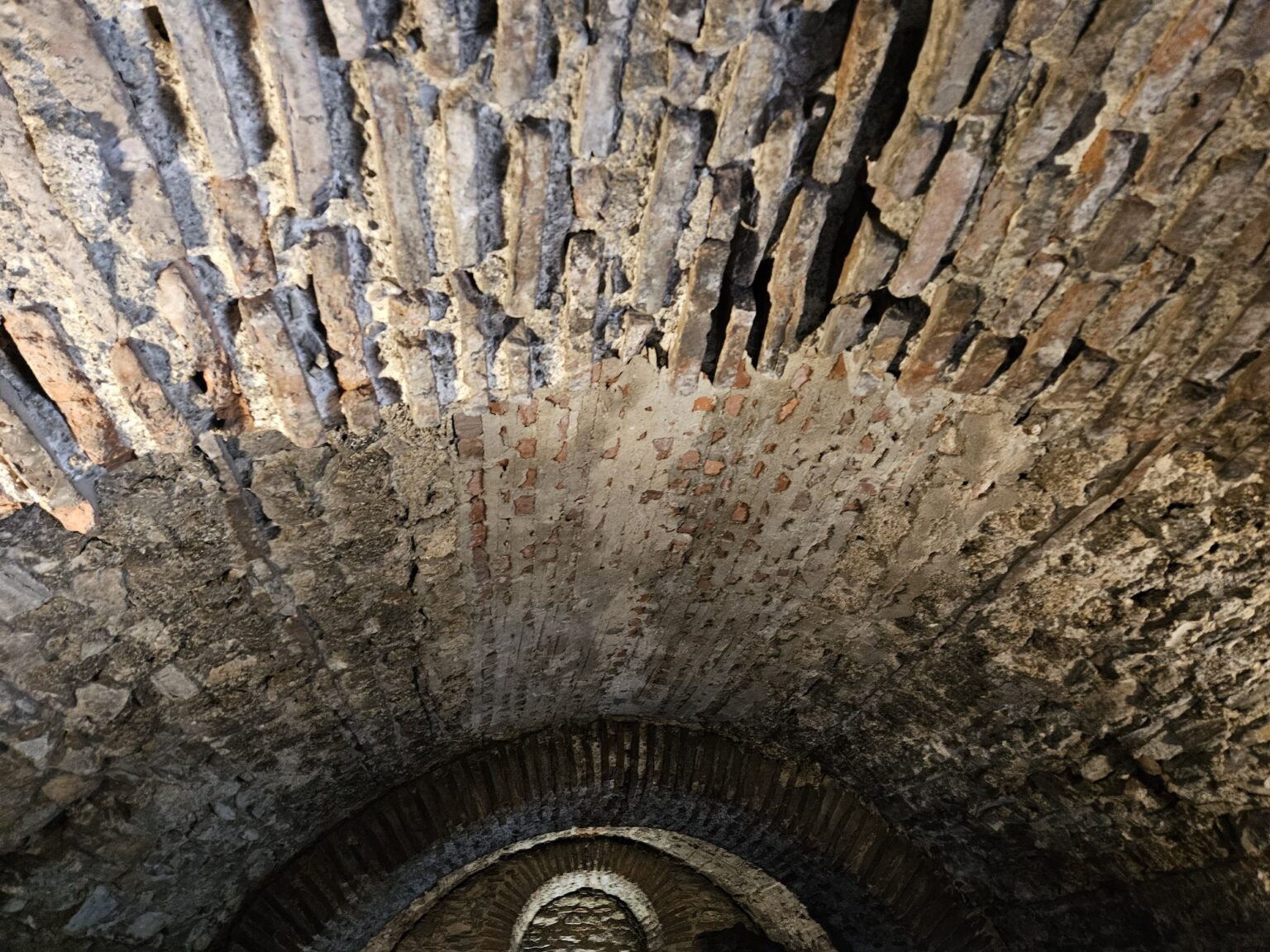
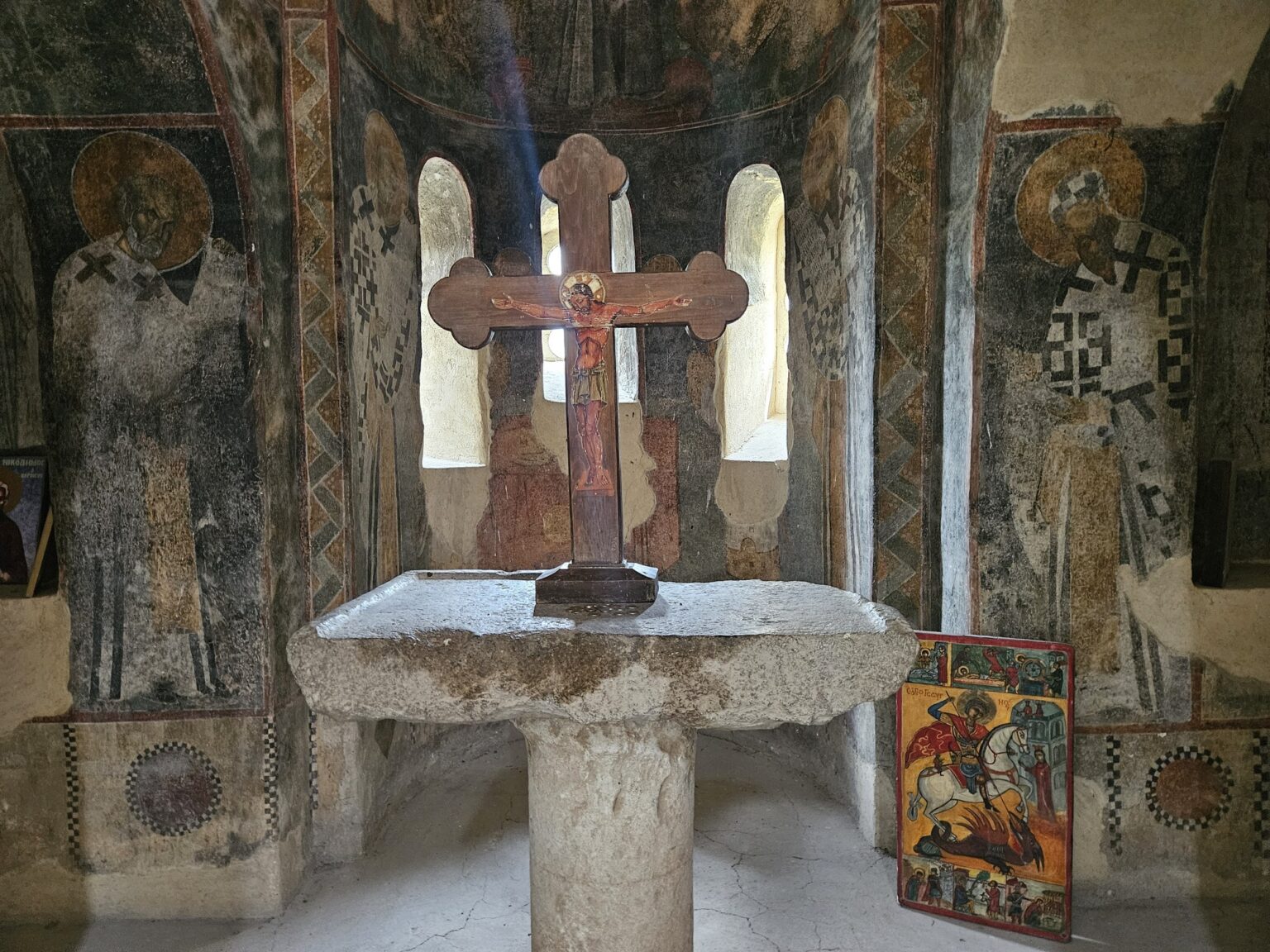
Of the entire fortress, one building is still almost whole. The church is two storeys, built around 1231, and has a tower that served as belfry and watchtower at once — unusual in the Orthodox east. From outside it is heavy and square-shouldered, the roof low, the dome invisible until you walk round it. From a distance, between the trees, it looks bigger than it is.
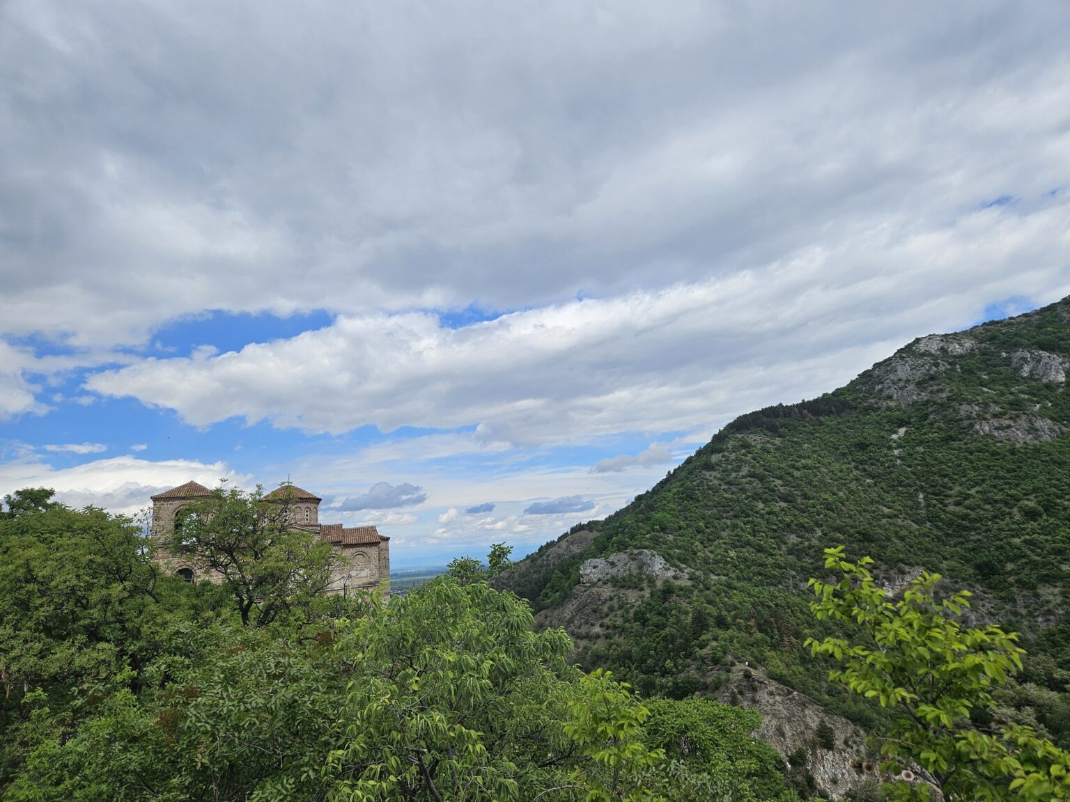
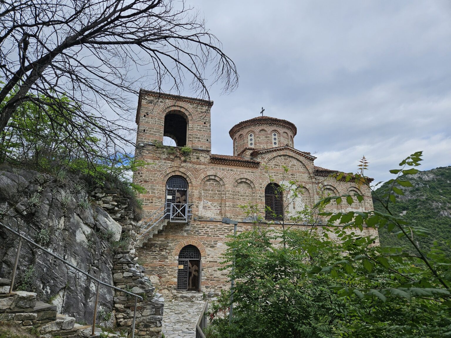
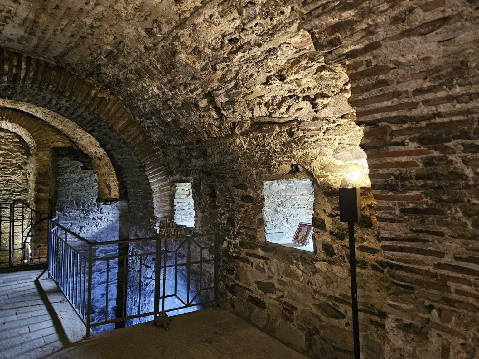
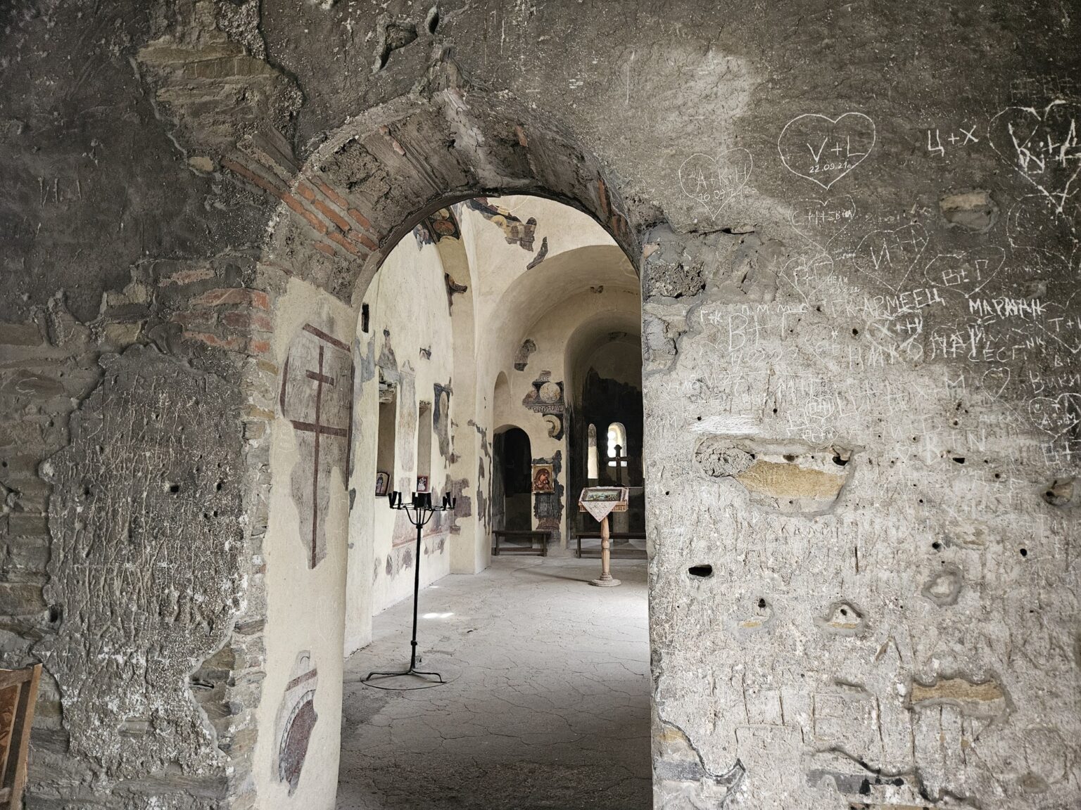
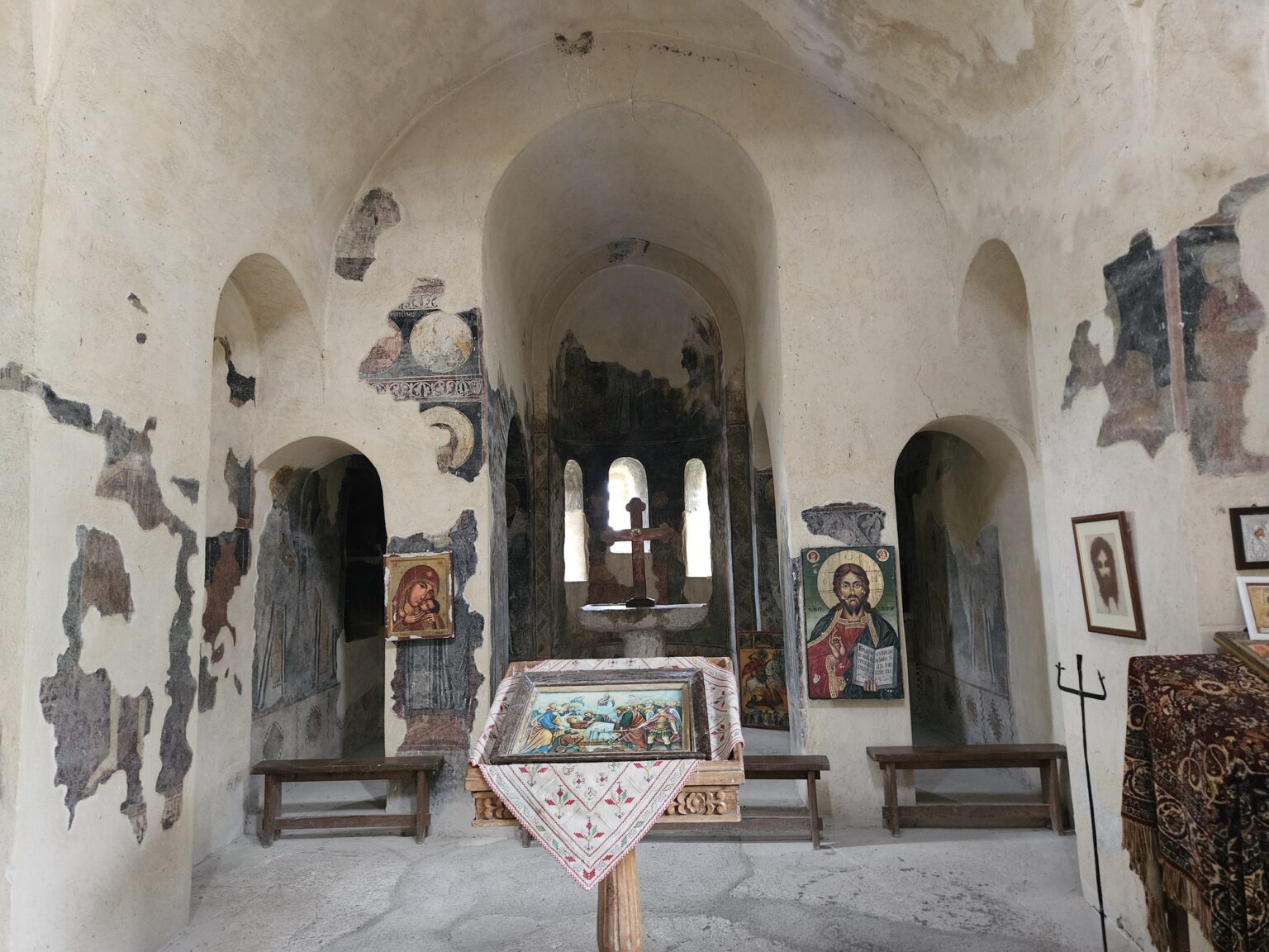
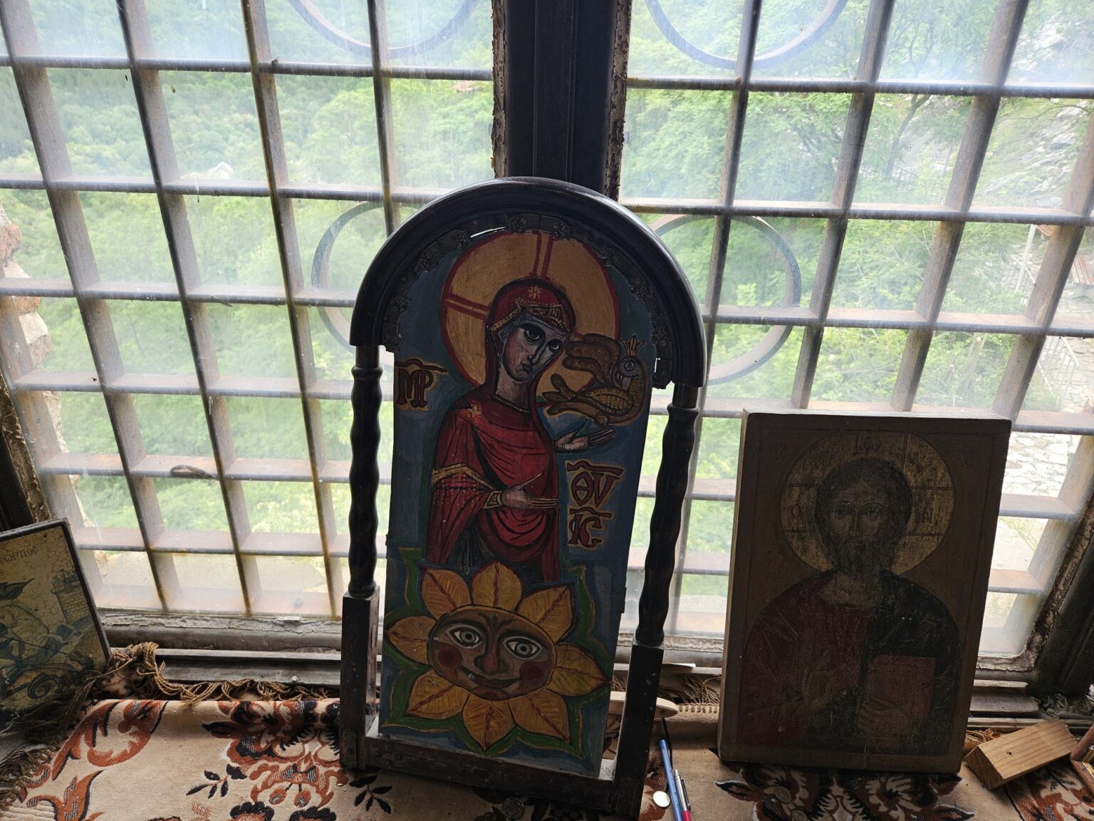
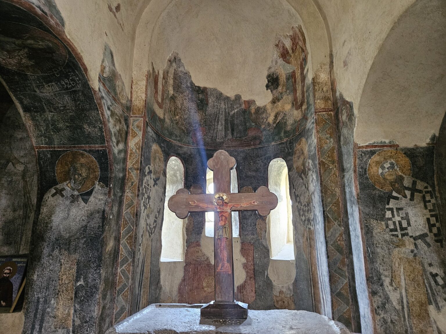
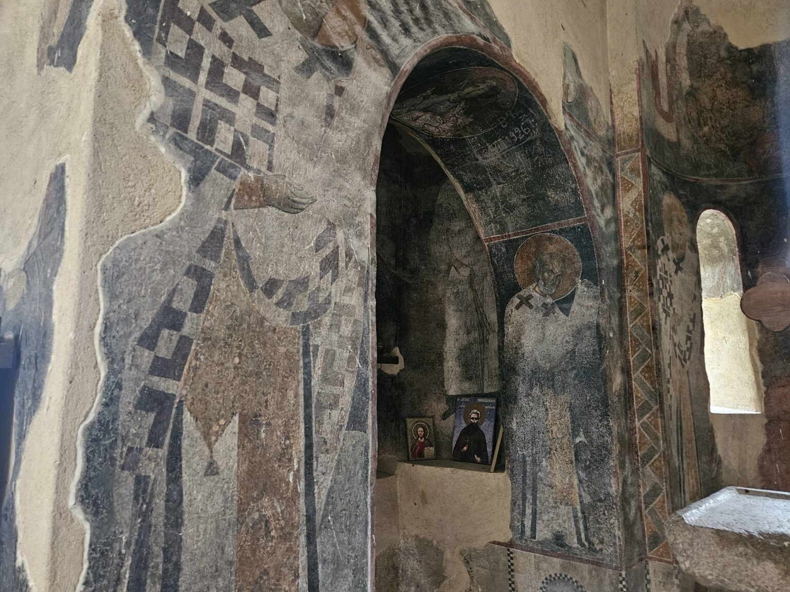
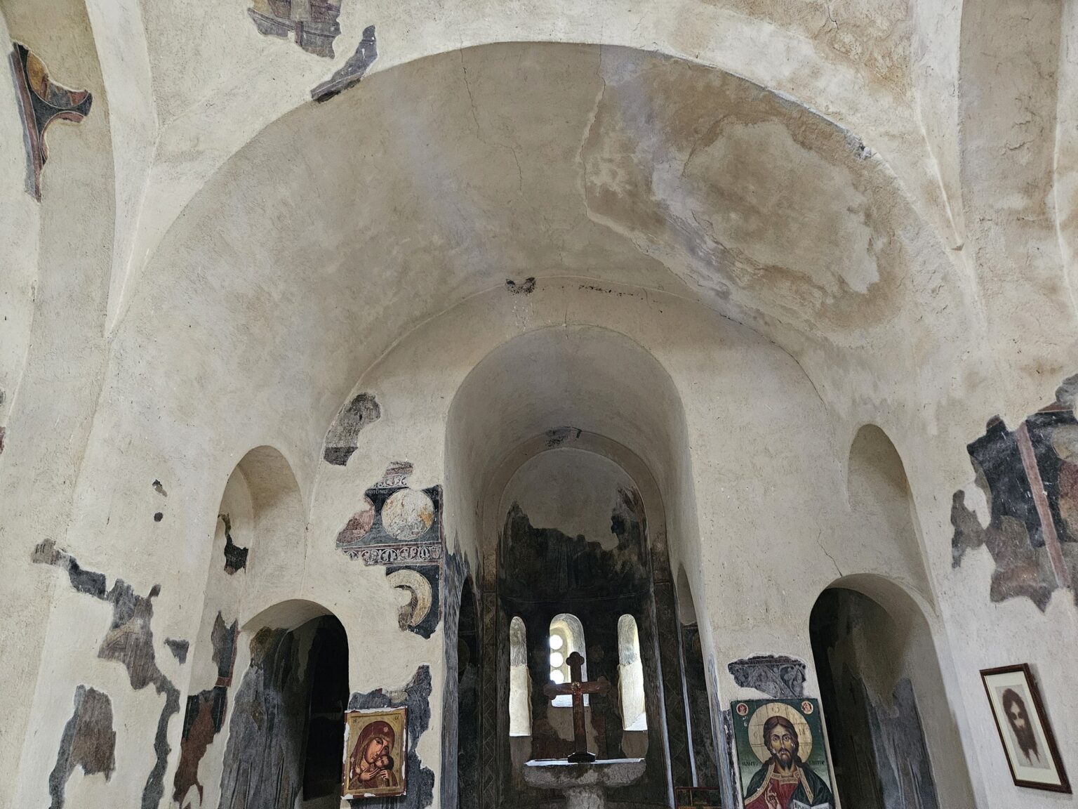
Inside it is dark, tight and noticeably colder. The ground floor was meant to be an ossuary but was never used as one; the church proper is on the upper floor, with 13th-century frescoes on the walls and under the dome. You climb stone steps, pass along a corridor with narrow windows, and at the far end find an altar with a wooden cross and a few icons propped on the sill.
That it survived at all is partly luck. In the early 15th century the sons of Sultan Bayezid fought each other for the throne; Süleyman besieged his brother Musa, who had dug in here, and after the surrender the fortress was destroyed — but the church was left untouched. Its restoration was completed in 1986, and since 1991 it has been a working church again, per National Geographic Bulgaria.
The inscription of Ivan Asen II, and the views
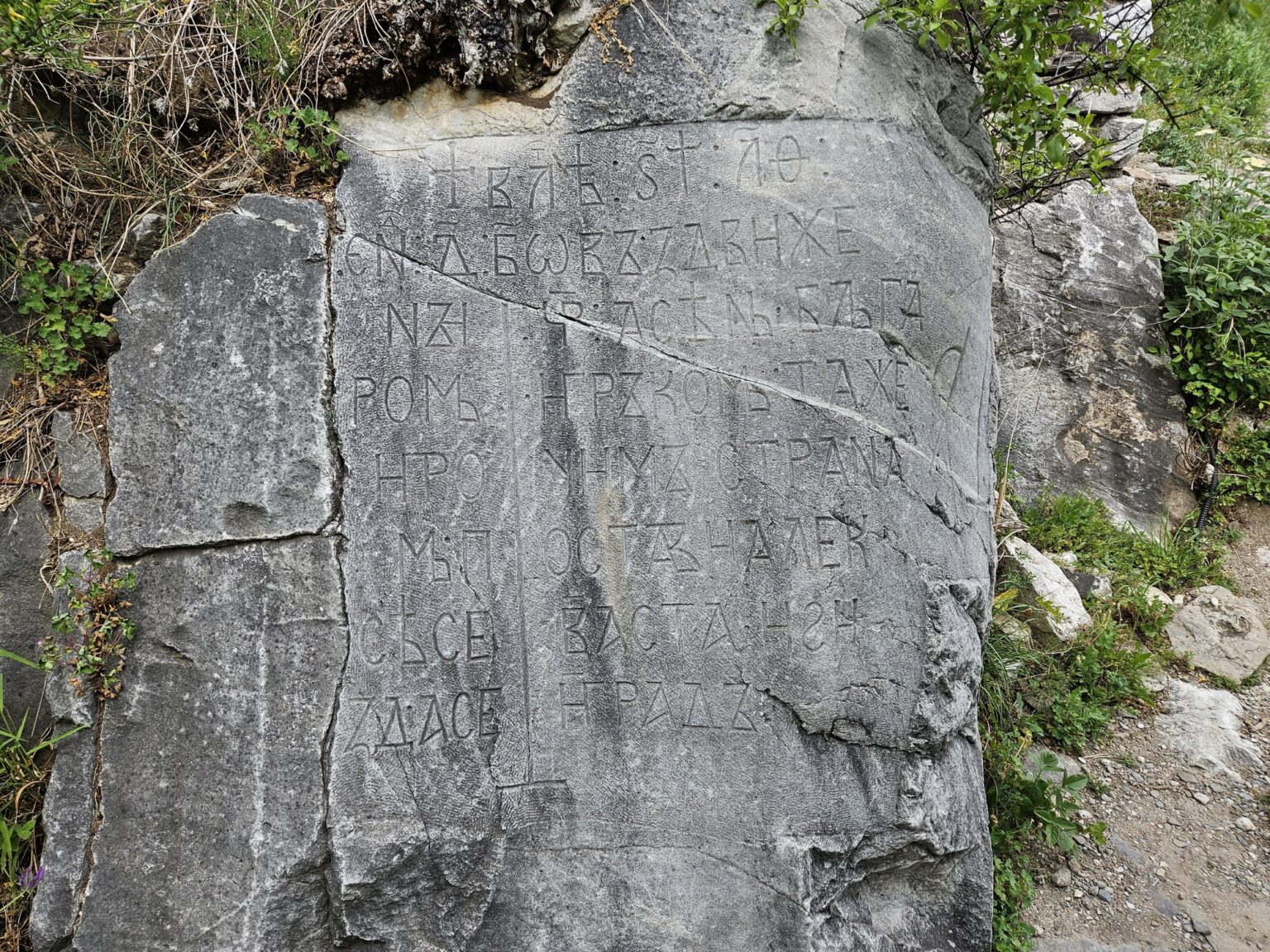
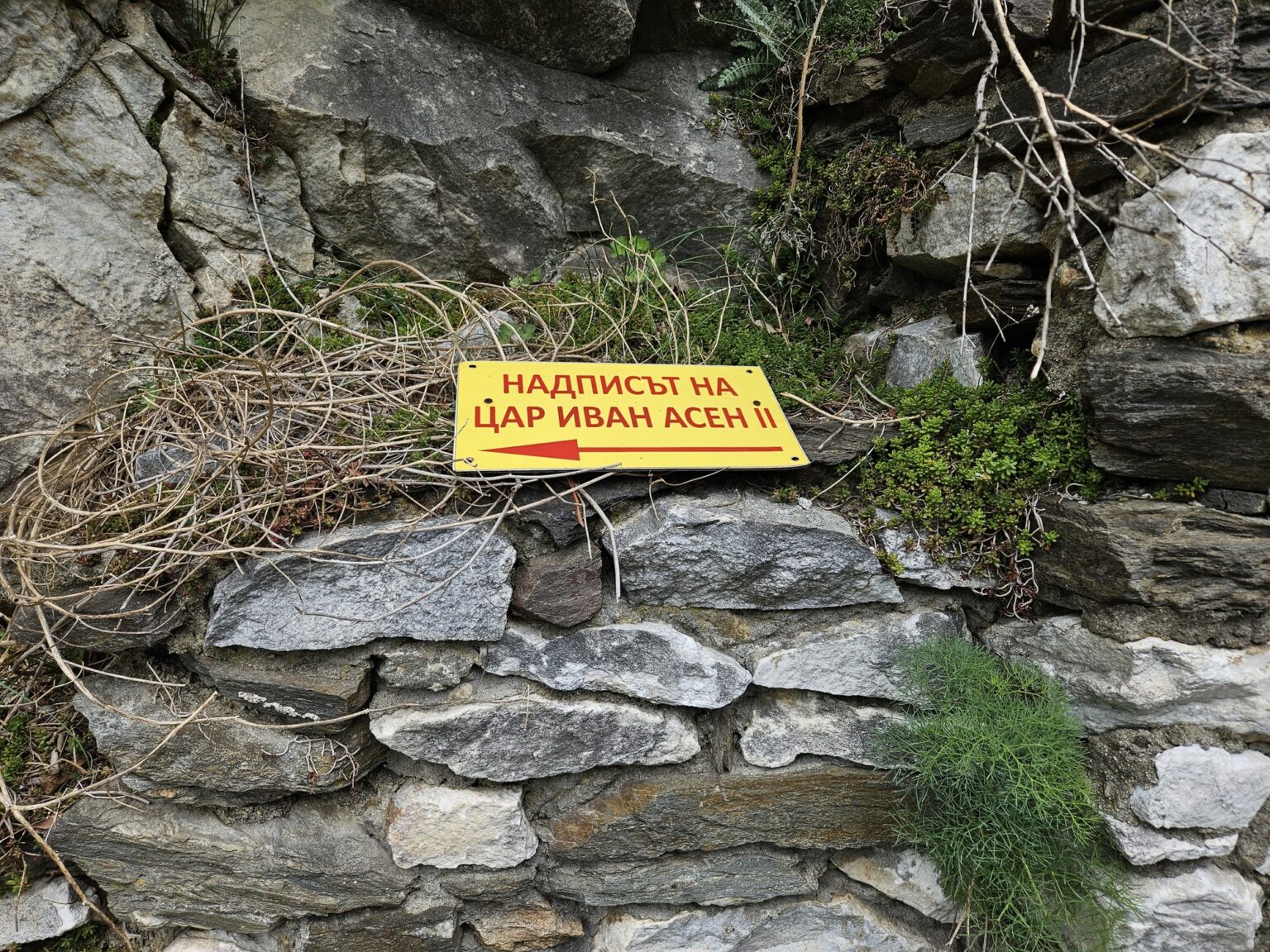
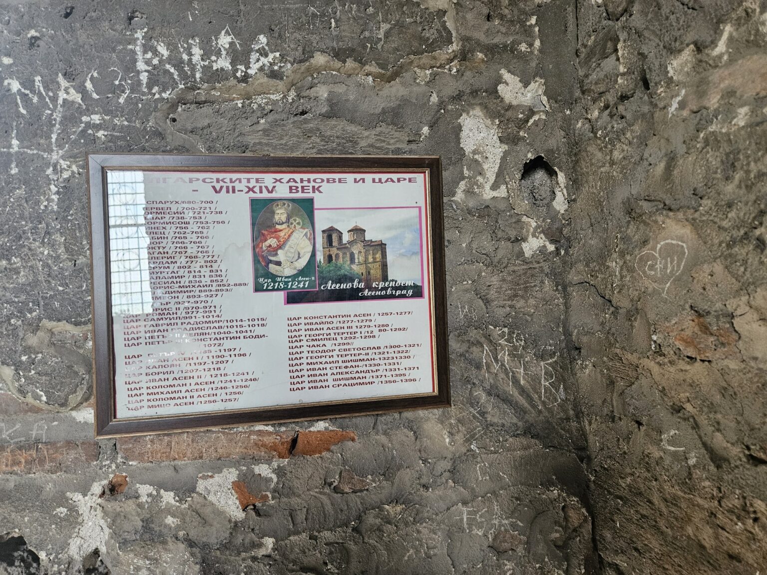
The fortress owes its modern name to one inscription. It was cut into the rock on the orders of Tsar Ivan Asen II in 1231, after his victory at Klokotnitsa, and records that the tsar appointed one Alexius as governor and built this town. The yellow sign beside it is easier to spot than the carving itself — look for the letters, not the sign. That stone is also why the town down in the valley is now called Asenovgrad, “Asen’s town”.
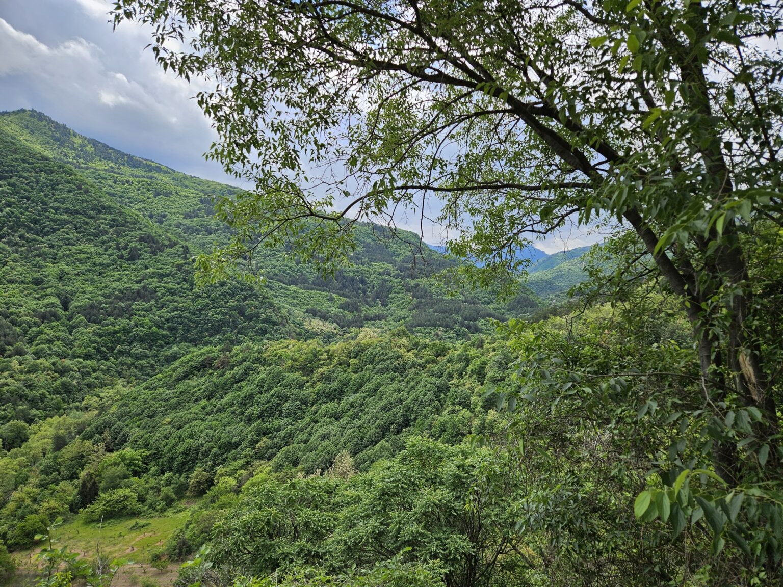
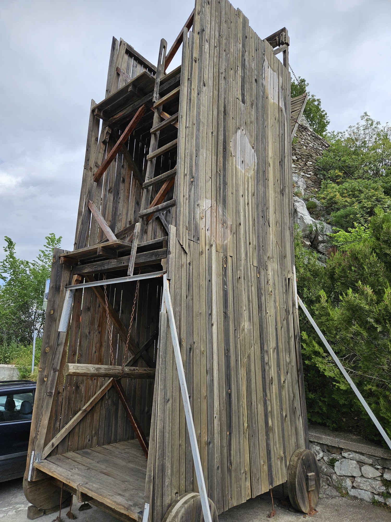
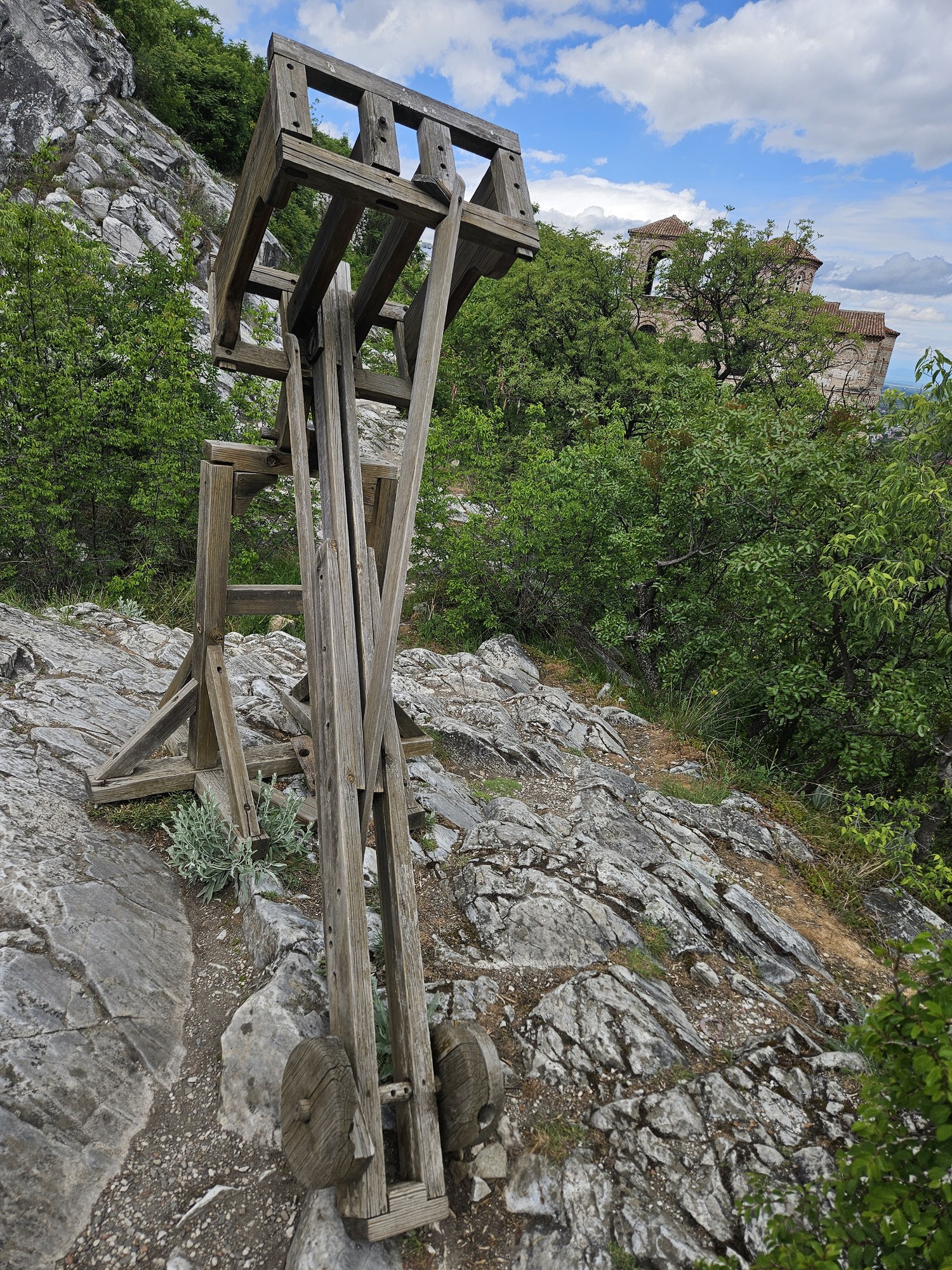
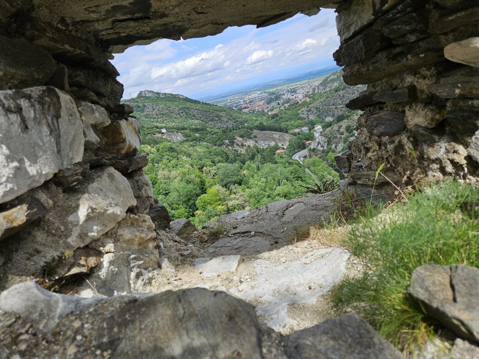
The other reason to climb up is the view. Through the stone openings in the walls you see the whole valley, with green ridges running away into the Rhodopes and the Smolyan road threading between them. The fortress changed hands constantly — Thracians, Romans, Byzantines, crusaders, Bulgarians, Ottomans. In 1204 the Flemish knight Renier de Trit held out here through a 13-month siege by the army of Tsar Kaloyan. Stand at the edge, look down, and thirteen months sounds entirely plausible. 🙂
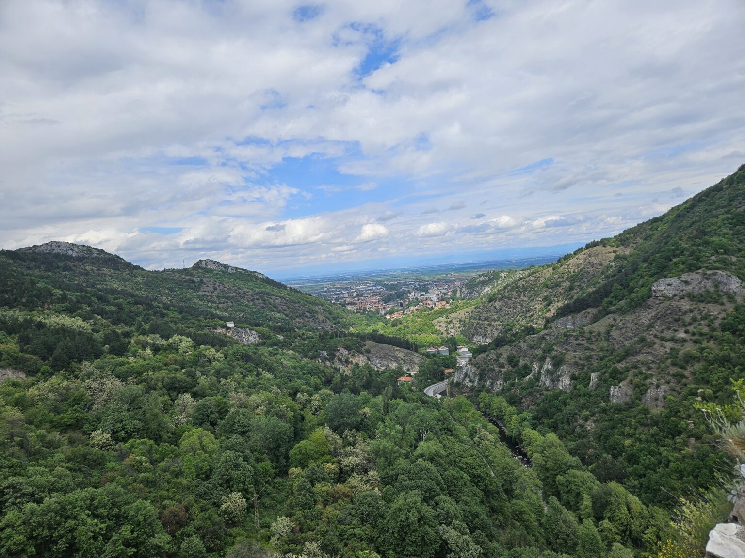
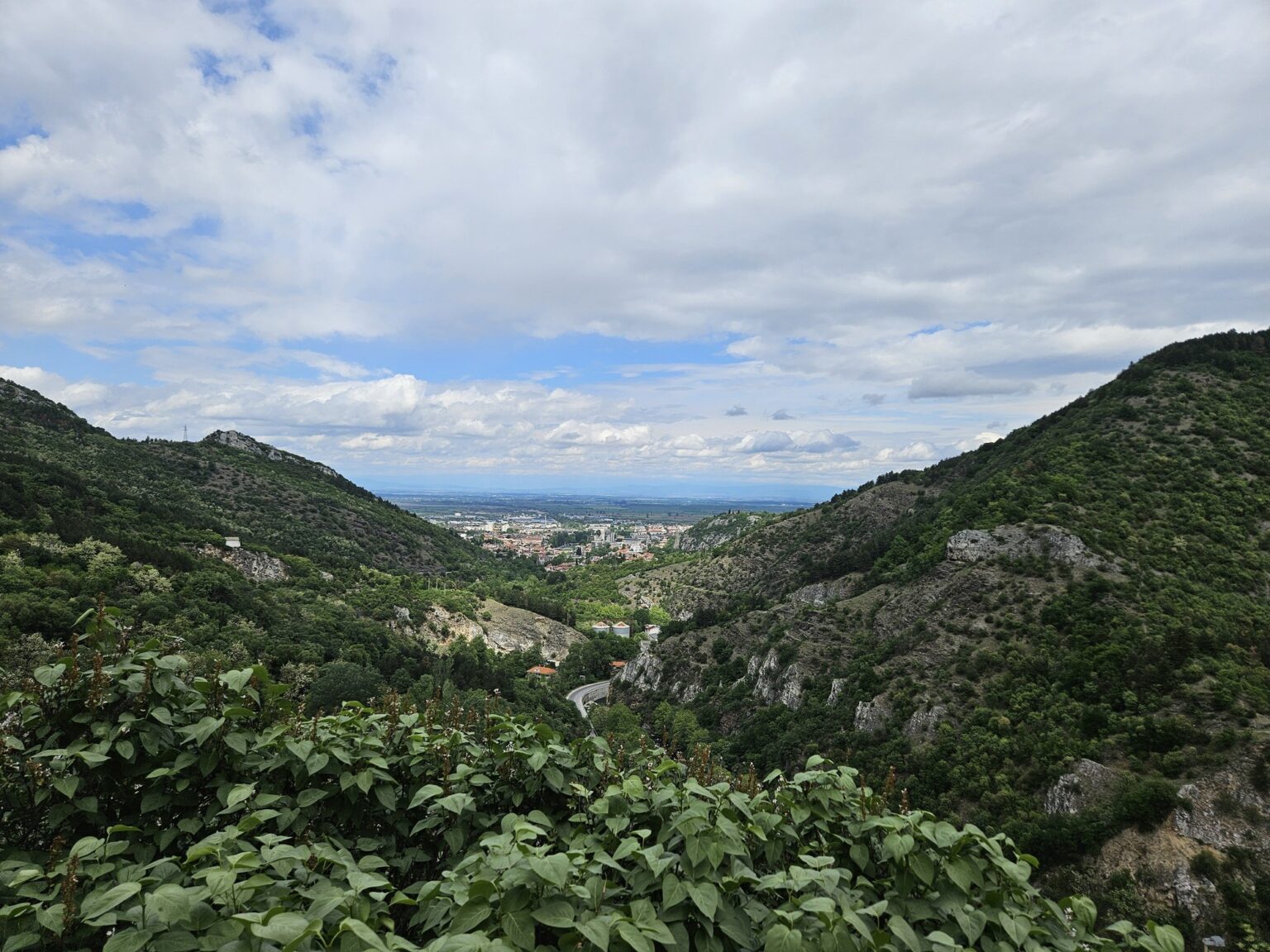
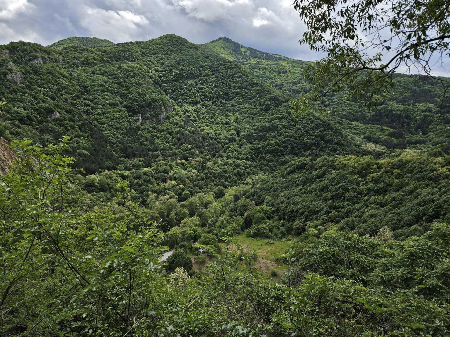
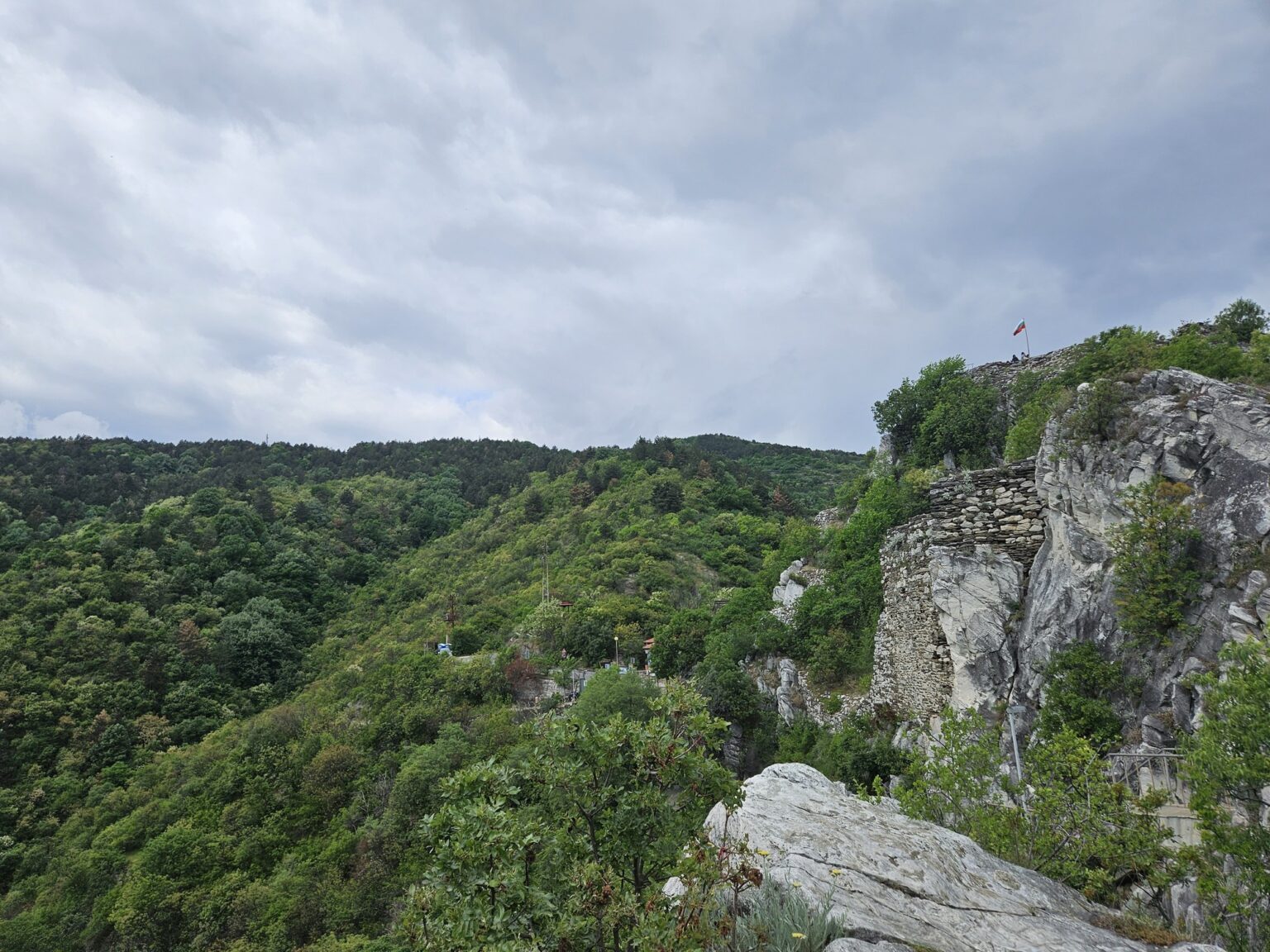
Worth it — but as part of a pair. The fortress itself is foundations, walls and position; the real prize is the church, and the view is the bonus that keeps you up there another twenty minutes. Bachkovo Monastery is 10 km further along the same valley, so the two make an unhurried day together. Between them runs the old Roman road, now waymarked as a walking route. We would come back — next time on foot along it, rather than by car. 😀
Related video: Asen’s Fortress is #5 in Top 5 of Bulgaria’s EPIC Castles and Fortresses — alongside Kaliakra, Hisarya above Lovech, Baba Vida and Tsarevets.