Krichim is the last town of the Upper Thracian Plain before it meets the first Rhodope slopes. About 25 km south of Plovdiv, the Vacha River comes out of the mountains here into open ground, and the road south heads straight for the gorge. The central square is quiet and provincial, but a few kilometres downstream the river cuts a narrow passage between sheer rock walls — that is the other Krichim, better known to anglers and travellers heading for Devin than to those passing quickly along the main road.
| Where | The far southwest of Plovdiv Province, about 25 km south of Plovdiv, at 234 m elevation, where the Upper Thracian Plain meets the Rhodopes |
| Getting there | by car via Plovdiv/Stamboliyski, from where the road continues south to Devin; by train to Vacha (Krichim) station on the Plovdiv–Peshtera line; by bus from Plovdiv |
| How long | 1–2 hours for the centre, the church and the fortress rocks; half a day if you add the reservoir |
| The fortress and Tsar Asen’s inscription | free access, year-round, no opening hours or fee; reached on foot from the edge of town |
| Rozhdestvo Bogorodichno Monastery | about 5 km along the road to Devin, an active monastery, open during the day. Check current details on the municipality’s tourism page (Bulgarian only) |
| When to go | spring and autumn for the mild climate; summer is hot on the plain but cooler in the gorge by the reservoir |
| Parking | on the streets around the centre; no formal car park at the dam, but there is a convenient pull-off by the road |
The fortress and the inscription of Tsar Asen
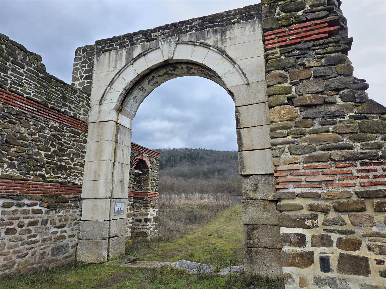
Krichim’s history reads best not in the centre but on the rocks above the river. At the mouth of the Vacha gorge, on either side of the riverbed, stand the remains of two medieval strongholds — the Small Fortress and the Large Fortress, also known as Ivanko’s fortress. In 1198 the stronghold belonged to the boyar Ivanko, the killer of Tsar Asen I, before passing back into Bulgarian hands a few years later. Carved into one of the rocks there is the Krichim inscription: “On this stone sat Tsar Asen when he took Krichim” — evidence either of Asen I’s campaign in 1190 or of Ivan Asen II’s around 1230, when the town was finally brought within the borders of the Bulgarian state.
During the early National Revival period, cell schools operated in Krichim attached to the nearby monasteries, and the settlement is mentioned in the chronicles as late as 1344, when Tsar Ivan Alexander finally annexed it to the country together with Perushtitsa. The rocks with the fortress and the inscription have no ticket booth and no opening hours — they are reached on foot along a marked eco-trail from the edge of town, a continuation of the so-called Asen’s Path.
The centre, the church and the mineral spring
Life in Krichim itself is modest and does not depend on mass tourism. The municipal building stands on Obedinenie Square, and nearby rises the Church of Sts. Cosmas and Damian — first built of wattle and mud in 1879, then rebuilt in stone in 1896, on the site of the old Christian cemetery. The initiative for its construction came from the local notable Atanas Stoimenov; the result is a modest provincial church, typical of the National Revival churches of this part of the Rhodope foothills.
By the river stands the bridge over the Vacha, entirely of metal construction, brought over from Serbia during the First World War — a rarity for such a small Rhodope town. Nearby a mineral spring rises at around 28°C, silicate and mildly alkaline; the water is not for drinking because of its high mineral content, but is traditionally considered good for skin wounds. The spring remains underused, with no proper catchment or pool for visitors.
The gorge, the reservoir and the monasteries
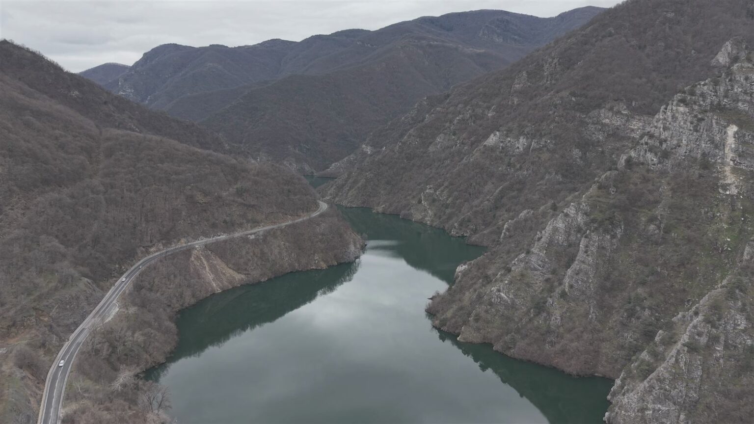
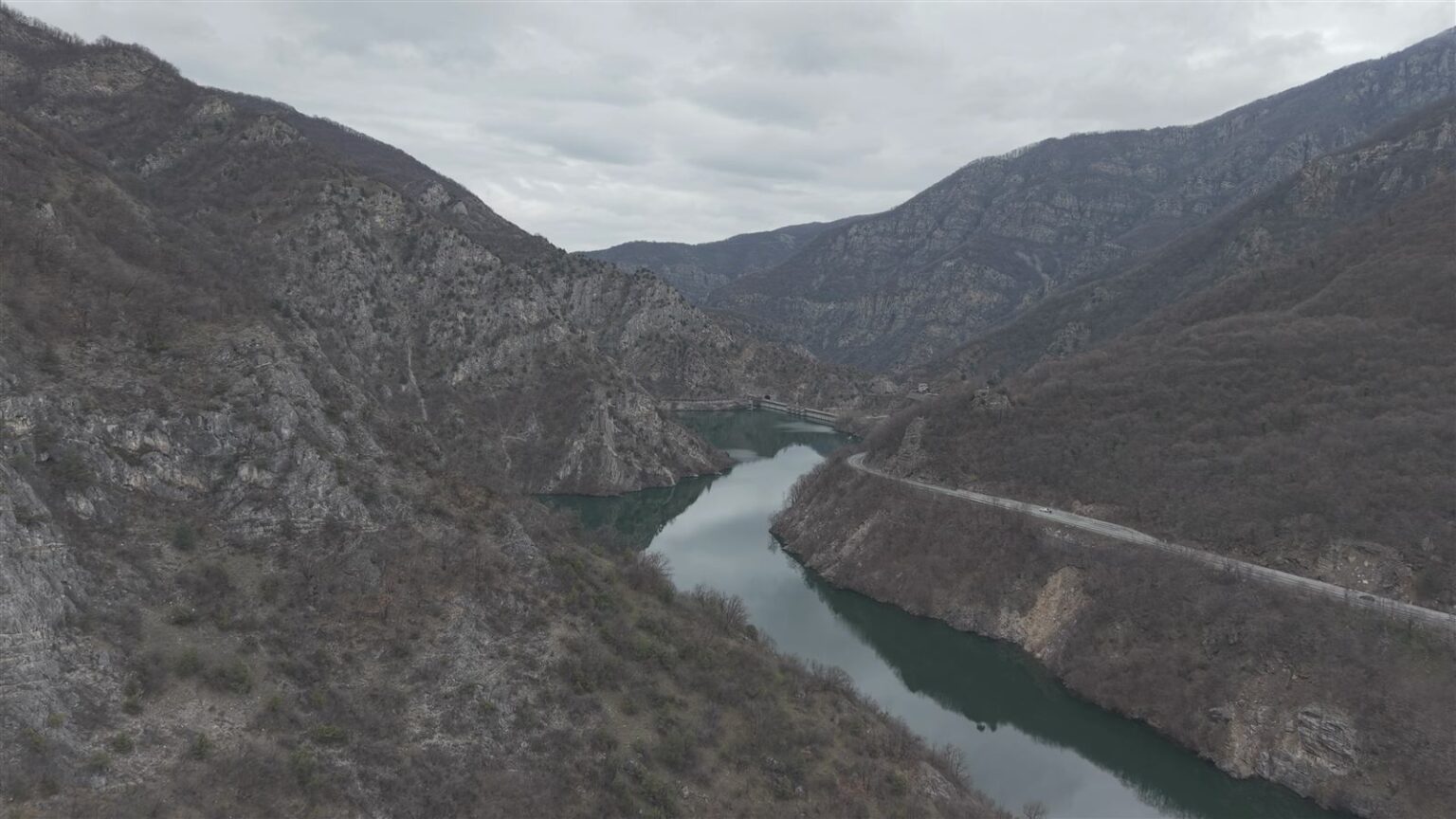
South of town, the road to Devin enters a narrow gorge, where the Vacha cuts through a rocky ridge and opens onto Krichim Reservoir — the smallest by volume in the Dospat–Vacha cascade, but with the highest water inflow. The walls close in sharply, the slopes on both sides are bare and sheer, and the water below mirrors the colour of the sky. A little further on, already within the neighbouring Vacha Reservoir, stands the tallest dam wall in Bulgaria, at 144.5 metres.
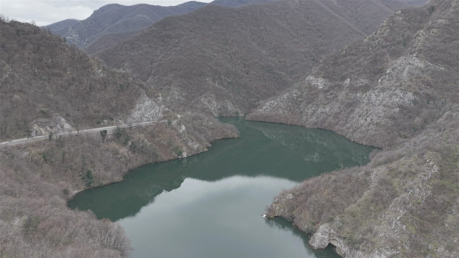
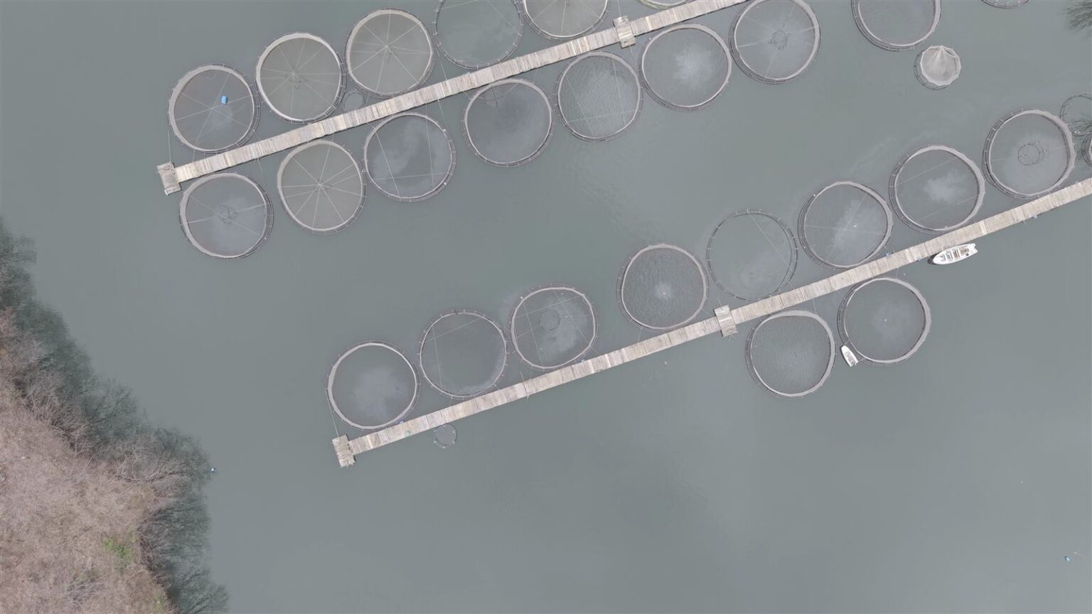
Round cages of fish farms raising trout dot the surface of the reservoir — the water here is clean and oxygen-rich enough to sustain fish farming as a lasting local trade. The road to Devin runs parallel to the shore, following the river’s bends close beneath the cliffs. There is no official car park at the reservoir, but there is a convenient pull-off by the road near the dam.
About 5 km along the same road, on the right bank of the Vacha, stands the active Rozhdestvo Bogorodichno Monastery — burned down and rebuilt more than once over the centuries, most recently in 1932. Above it, on the peak of Klisura, only the ruins remain of the older Sveti Vrach Monastery, destroyed during the forced Islamisation of the Rhodopes in the 17th century. Together with the fortress rocks and the inscription, the two sites make up Asen’s Path — a route along which Krichim is still told mostly through stones and walls rather than signs and tickets.
Related video: the town and the Vacha gorge are best seen from the air in the episode Bulgaria From Above: Devin, Vacha & Krichim – A Scenic Journey Through the Rhodopes, part of the Bulgaria From Above series. Nearby are also Vacha and Devin – the other two stops on the same aerial route.