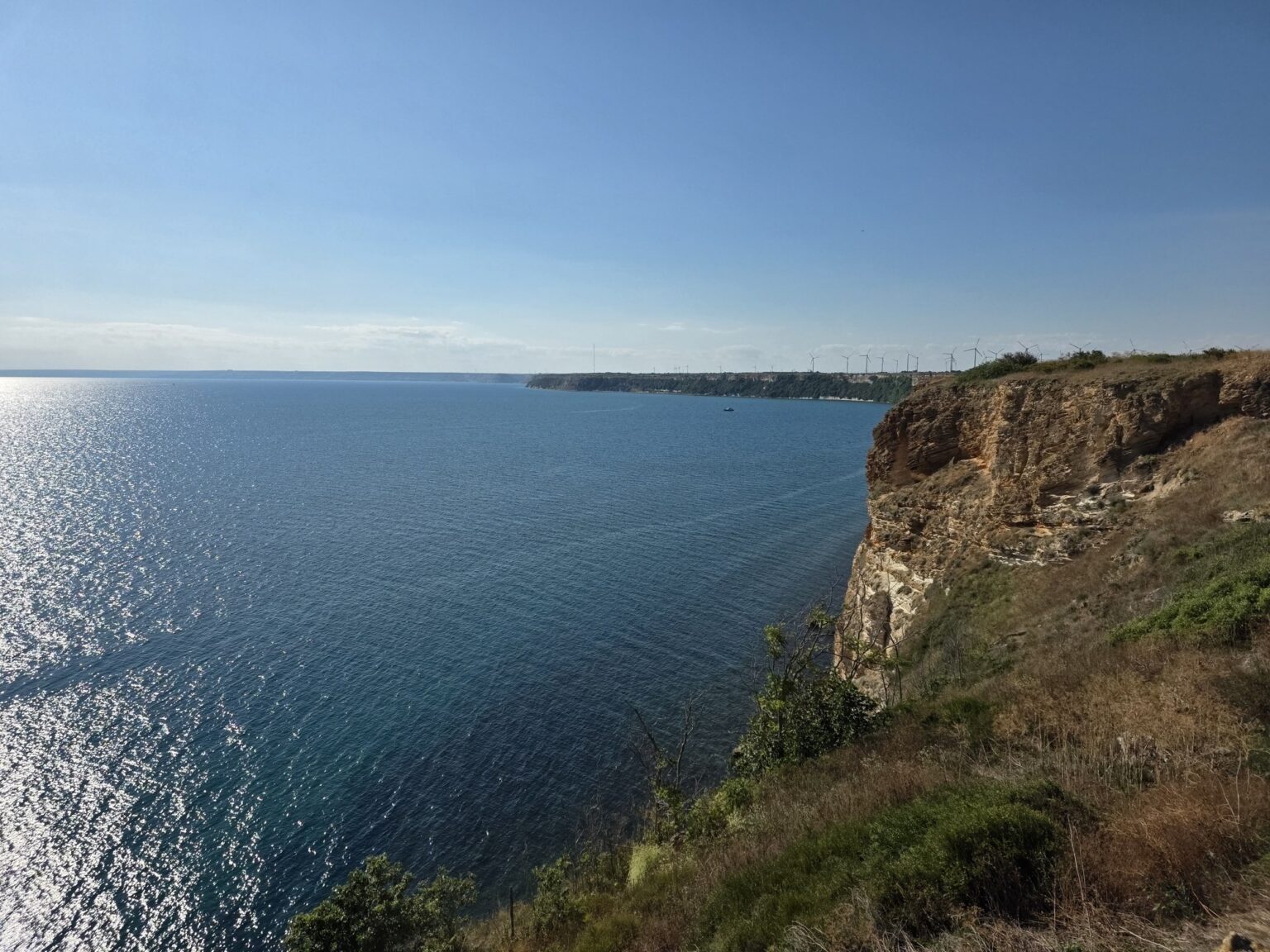
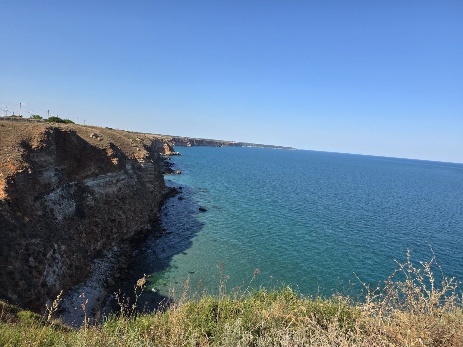
You do not see Cape Kaliakra until you are standing on it. The road from the village of Bulgarevo crosses flat farmland and wind turbines, then simply ends at a car park — and only from there does the cape begin: narrow, reddish, pushing two kilometres straight out into the Black Sea. From the fortress gate to the far tip is about 800 metres on level ground. With the museum and a fair amount of standing around on the edge, the whole thing takes just under an hour.
Late afternoon turns out to be the right call. There is no shade anywhere on this rock, and by mid-afternoon the wind drops and the water below goes properly dark blue. We bring a jacket in the middle of July and we are glad we did. 🙂
| Where it is | northern Black Sea coast, Kavarna municipality, 12 km from Kavarna and roughly 80 km from Varna; Google Maps |
| Getting there | by car from Kavarna through Bulgarevo, then about 6 km down the cape road; there is no public transport and the tarmac stops at the car park |
| How long | about an hour out and back, museum included; an hour and a half if you sit down on the benches |
| Opening hours | Monday – Saturday (May – September) 9:00 – 13:00 and 14:00 – 18:00; Monday – Friday (October – April) 8:30 – 12:30 and 13:30 – 17:30; off-season weekends by group booking. The cape itself is open ground — the hours apply to the museum. |
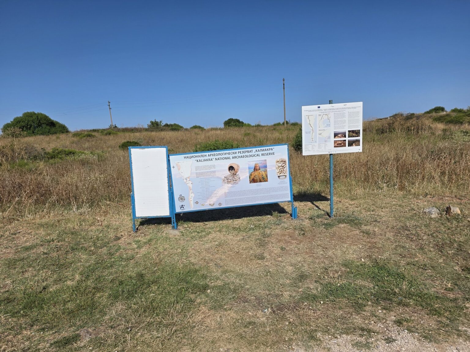
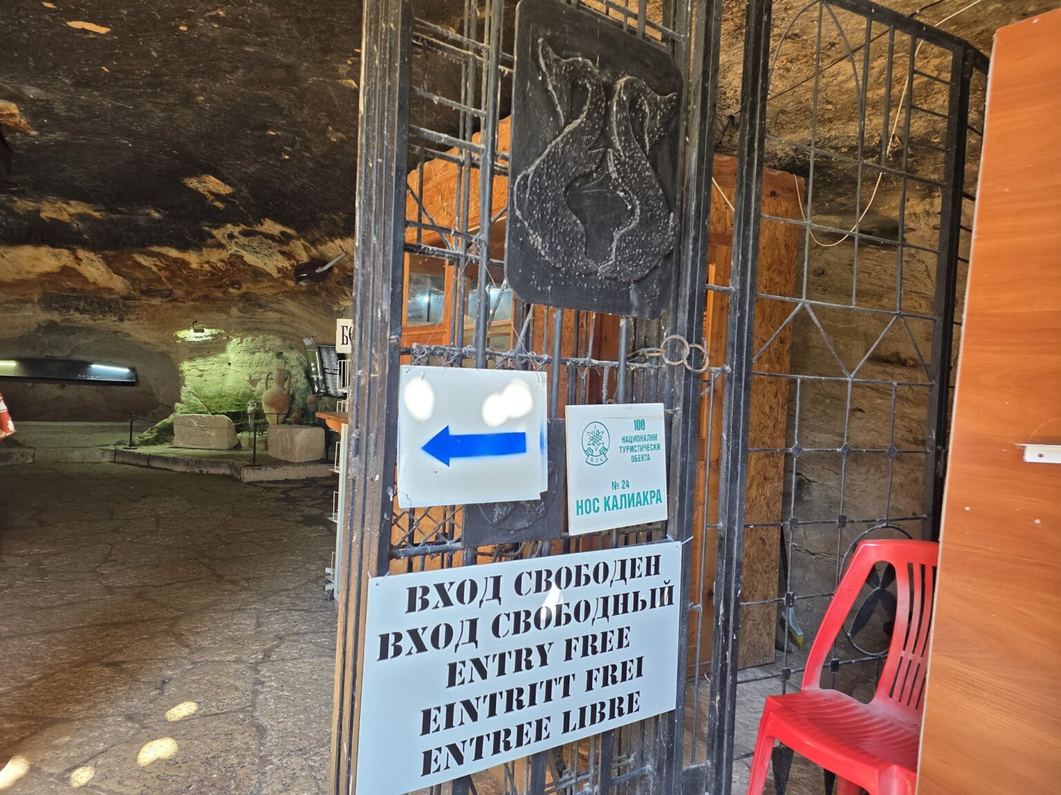
| Admission | €3 per person, collected at the entrance by the car park, and parking is included in that. The cave museum itself is free — the stone sign outside it reads “free entrance”. Check the current situation on the Bulgarian Tourist Union page for the site. |
| Stamp collectors | Kaliakra is site No. 24b in “100 National Tourist Sites”, a Bulgarian scheme where you collect stamps in a booklet. The stamp lives at the museum, run by the History Museum in Kavarna. |
| The nature side | protected since 1941, one of Bulgaria’s oldest reserves, covering 687.5 hectares of land and sea; over 400 plant species, 47 of them rare, including a steppe grass found nowhere else in the country |
| When to come | late afternoon for the light and the calmer wind; August – October for migrating birds on the Via Pontica flyway |
| Parking | a large area right outside the gate, covered by the entrance fee — there is nothing extra to pay; it fills up on summer weekend afternoons |
The name, and why the rock is red
A little history before we set off. The name is Greek, and the simplest reading is “beautiful cape”, from kalos and akra. There is a second one: the German squire Hans Schiltberger, who passed through in the late Middle Ages, wrote the place down as Kalatserka — kalos plus tserki, a hoop, after the three walls that once sealed off the landward approach. And a third, favoured by the Bulgarian Tourist Union: “the good and beautiful shore”, for the sheltered bay that made the cape useful in the first place.
Two legends come with it, both grim. The famous one is the forty maidens, set at the fall of the fortress to the Ottomans at the end of the 14th century:
They braided their hair together and jumped from the cliff rather than be taken. That, the story goes, is why the rocks of Kaliakra are red.
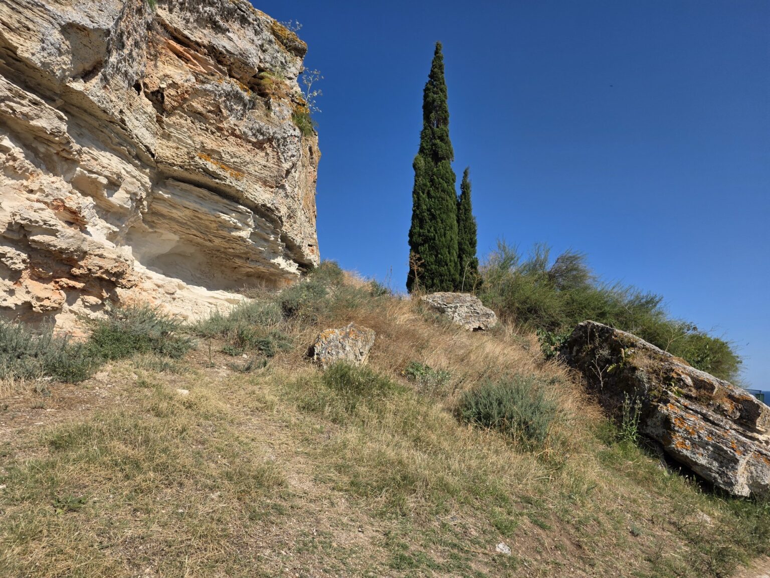
The second is about Saint Nicholas, patron of sailors: fleeing his pursuers, he found the ground stretching out beneath his feet to save him — which is supposedly why the cape is so long. It did not work. A small chapel in his name stands at the far tip today. Geologists would tell you the rock is red because of iron in the limestone, but that version is harder to tell over a beer. 😀
The gate, the walls and what is left
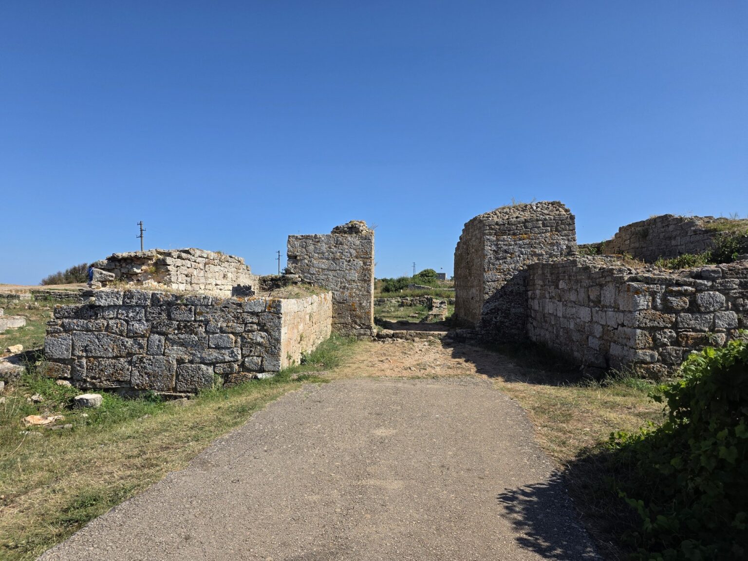
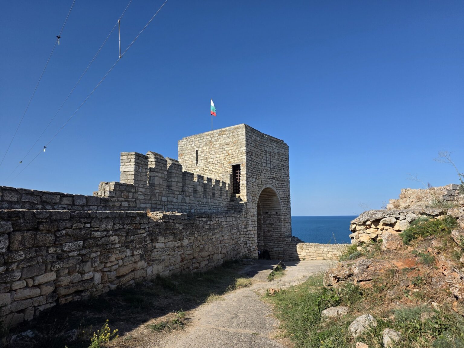
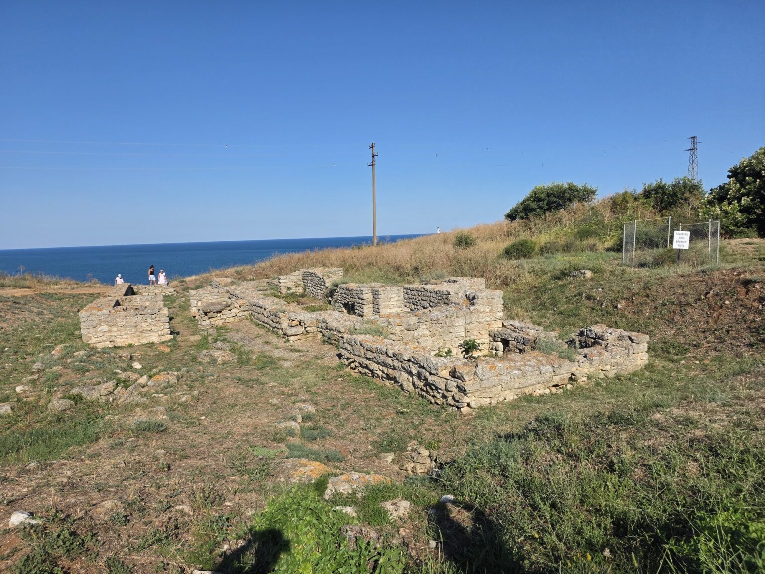
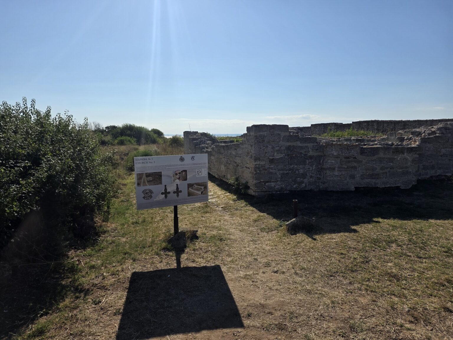
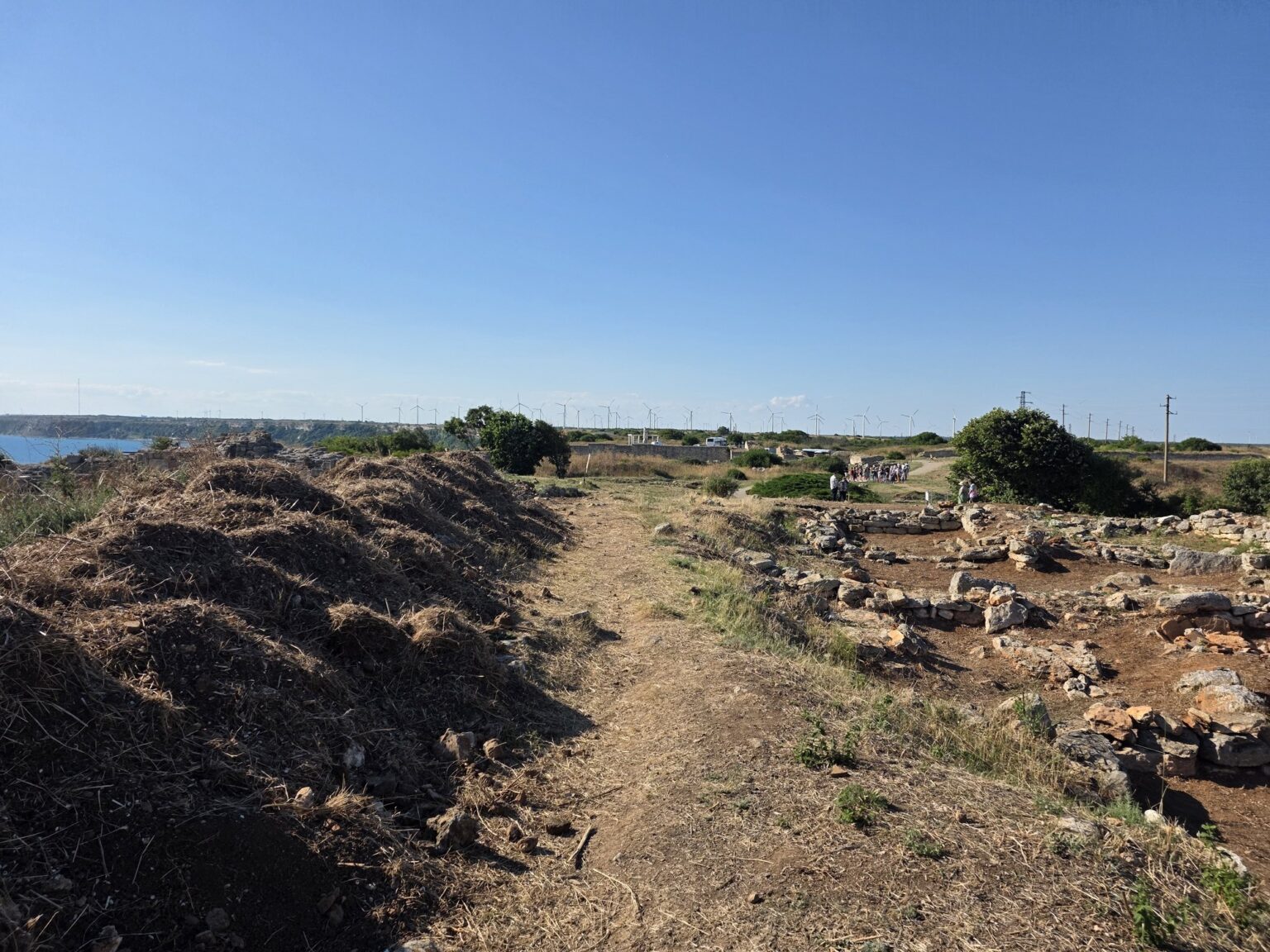
You enter through a restored stone gate with the Bulgarian flag above it — the only spot on the whole cape where a wall still stands at human height. Everything else is foundations: low courses of stone in the grass, blocks marked out, building edges that stop thirty centimetres off the ground. If you came for a castle you will be disappointed. If you came for the floor plan of a town, you will enjoy this.
And it really was a town. In the 14th century Kaliakra was the capital of the Karvuna despotate under Balik and Dobrotitsa — the ruler minted his own coins and built the first Bulgarian war fleet. Earlier, the Thracian Tirizi tribe gave the cape the name Tirizis; the Romans renamed it Acros Castellum and added the three walls. In 2009 archaeologists uncovered an early Christian cult complex here, a story we covered under 31 August. The interpretation boards along the digs are new and legible in both languages, which is not a given in Bulgaria.
The path along the edge
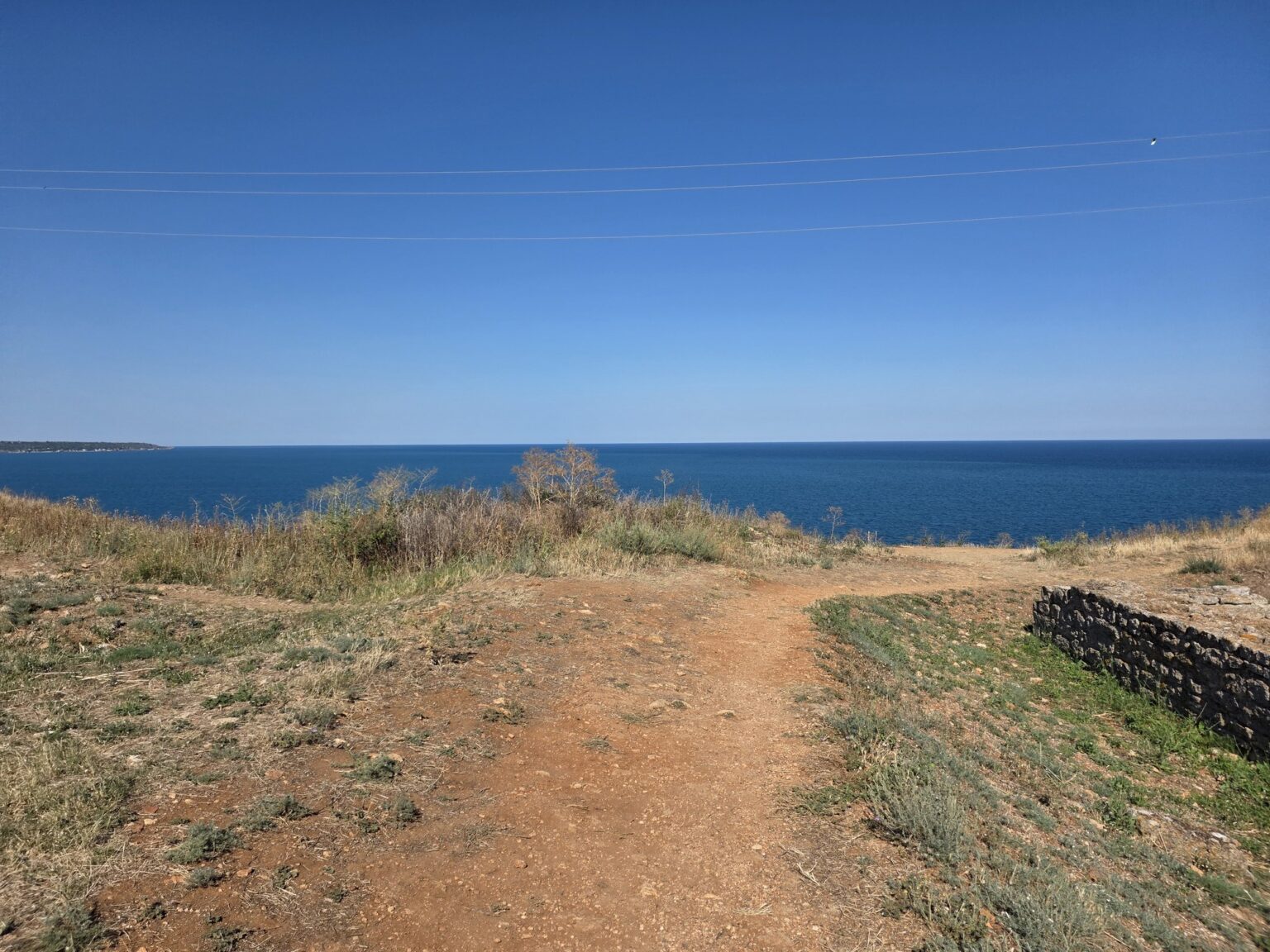
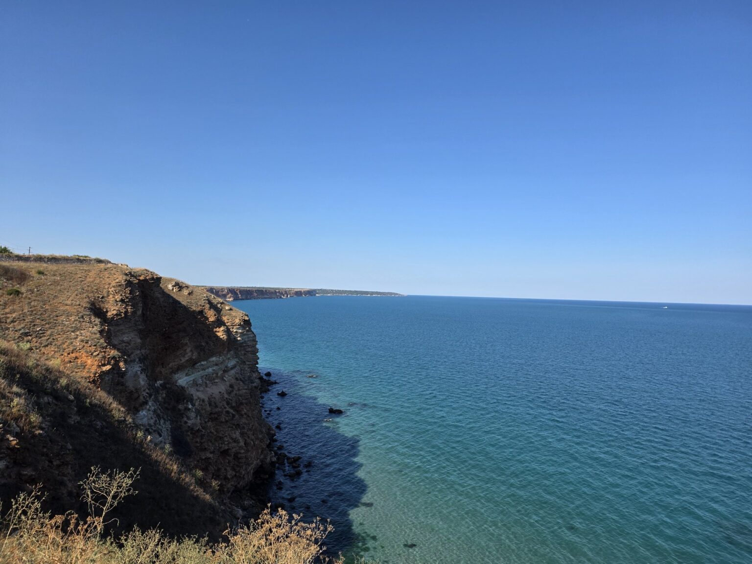
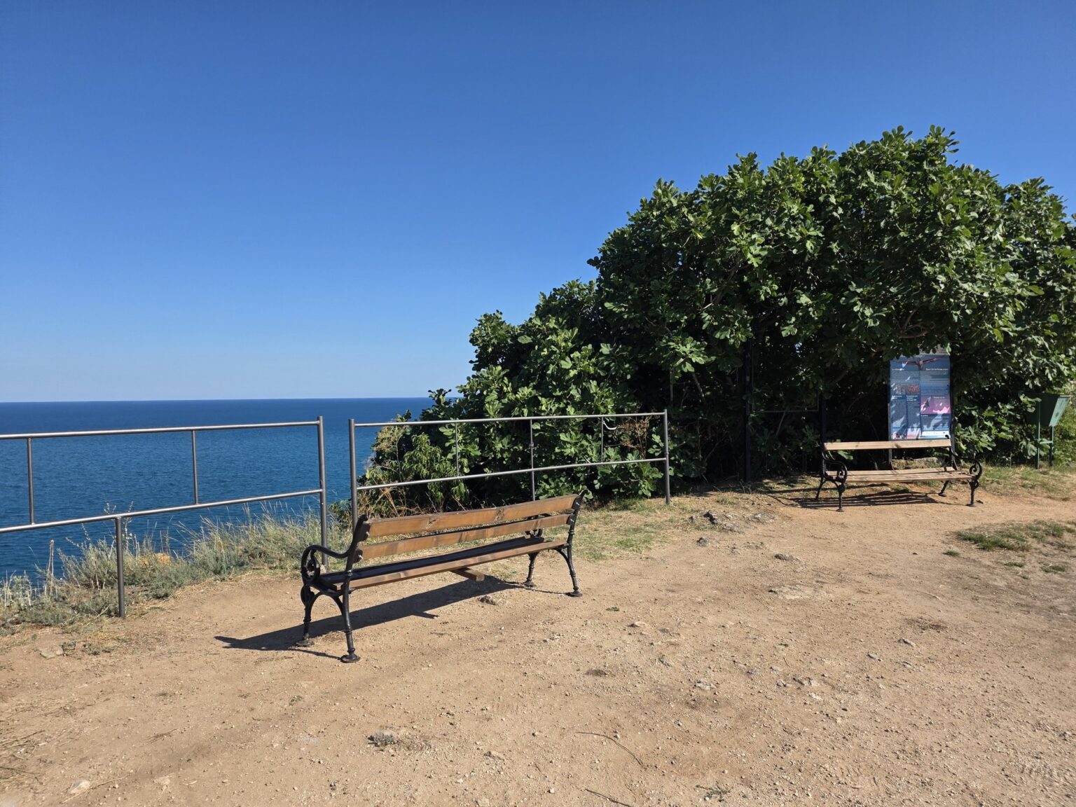
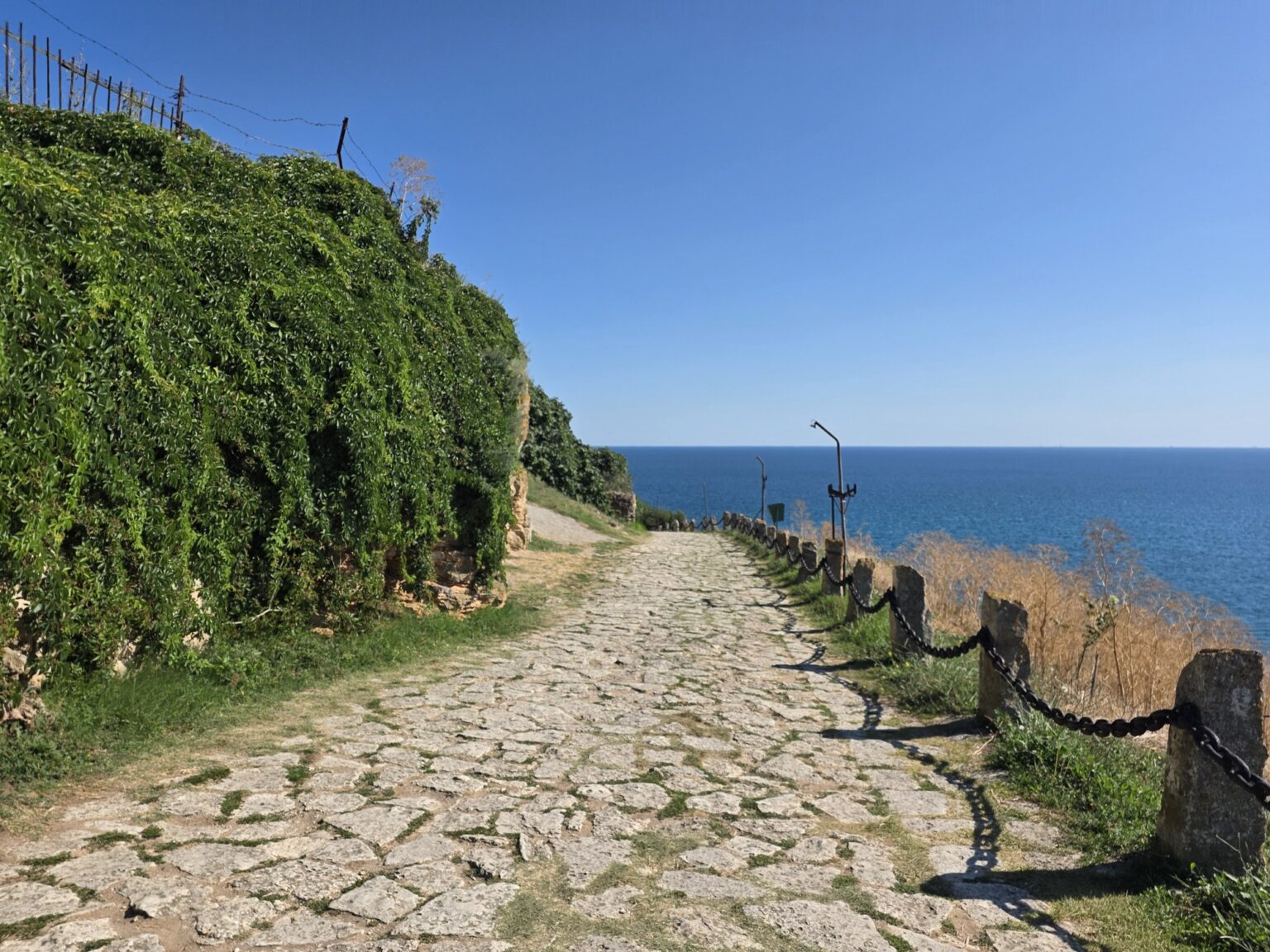
Past the gate the path runs through grass right along the rim. Sea on the left, sea on the right, and below you 60 to 70 metres of sheer cliff dropping into water that is dark because it gets deep immediately. There are railings and benches at the best viewpoints, and one stretch of stone steps with metal chains instead of a handrail. There is no fence at all in the places where people most want to stand.
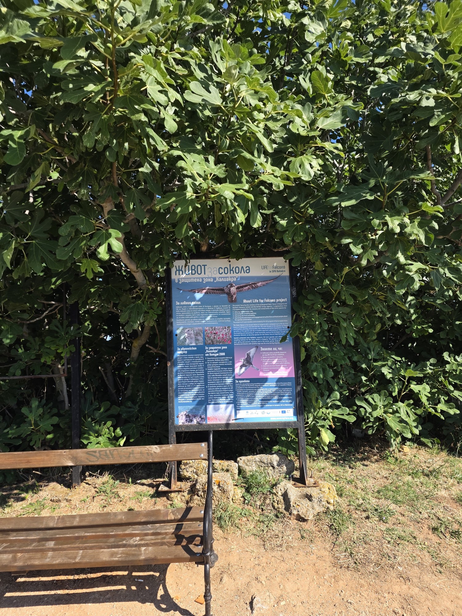
This is also the bird stretch. The cape sits under Via Pontica, one of Europe’s major migration corridors, and shags nest on the ledges below. Dolphins pass through the bay from time to time — we watch for twenty minutes and see one extremely self-assured seagull. Your odds improve between August and October.
The museum inside a cave
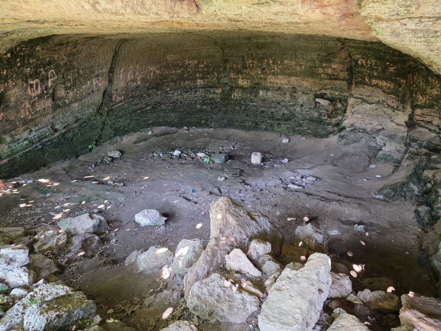
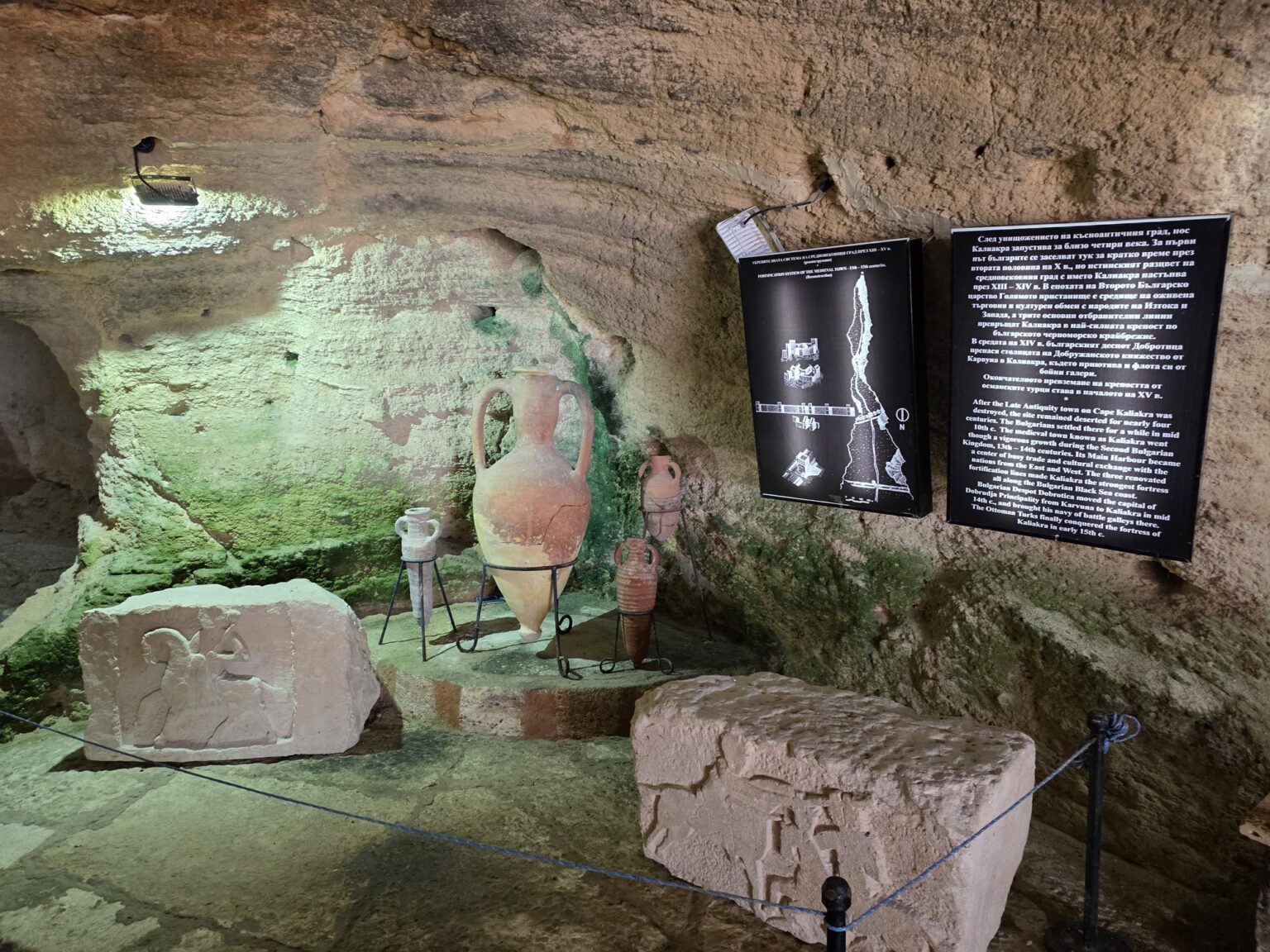
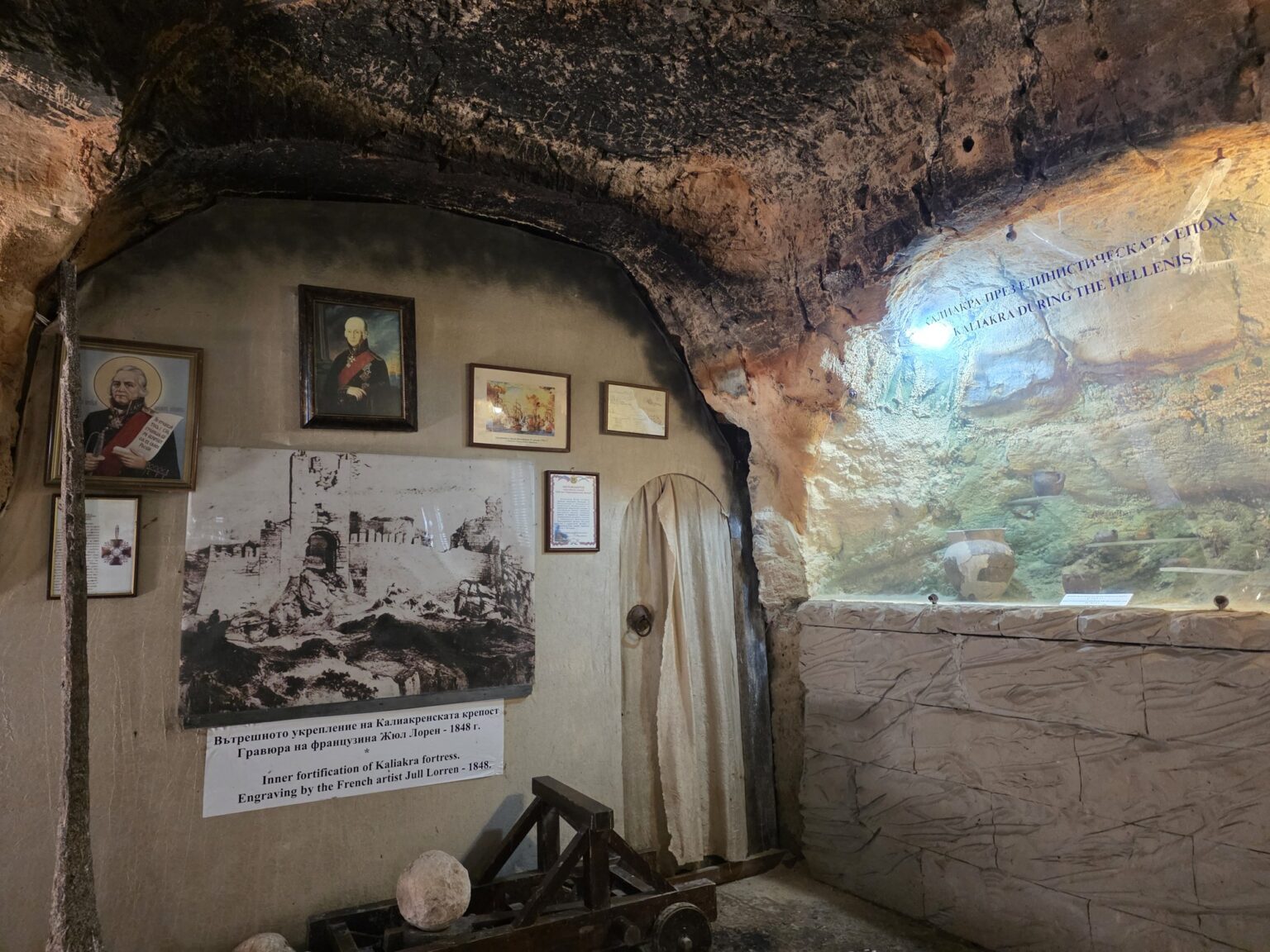
Near the end of the cape the path drops and burrows into the rock. The museum is inside a cave — a metal lattice door, a few low halls with lit niches, and a temperature you notice immediately after the sun outside. The boards are bilingual and explain the deep cave and the ancient harbour that sat directly below where you are standing.
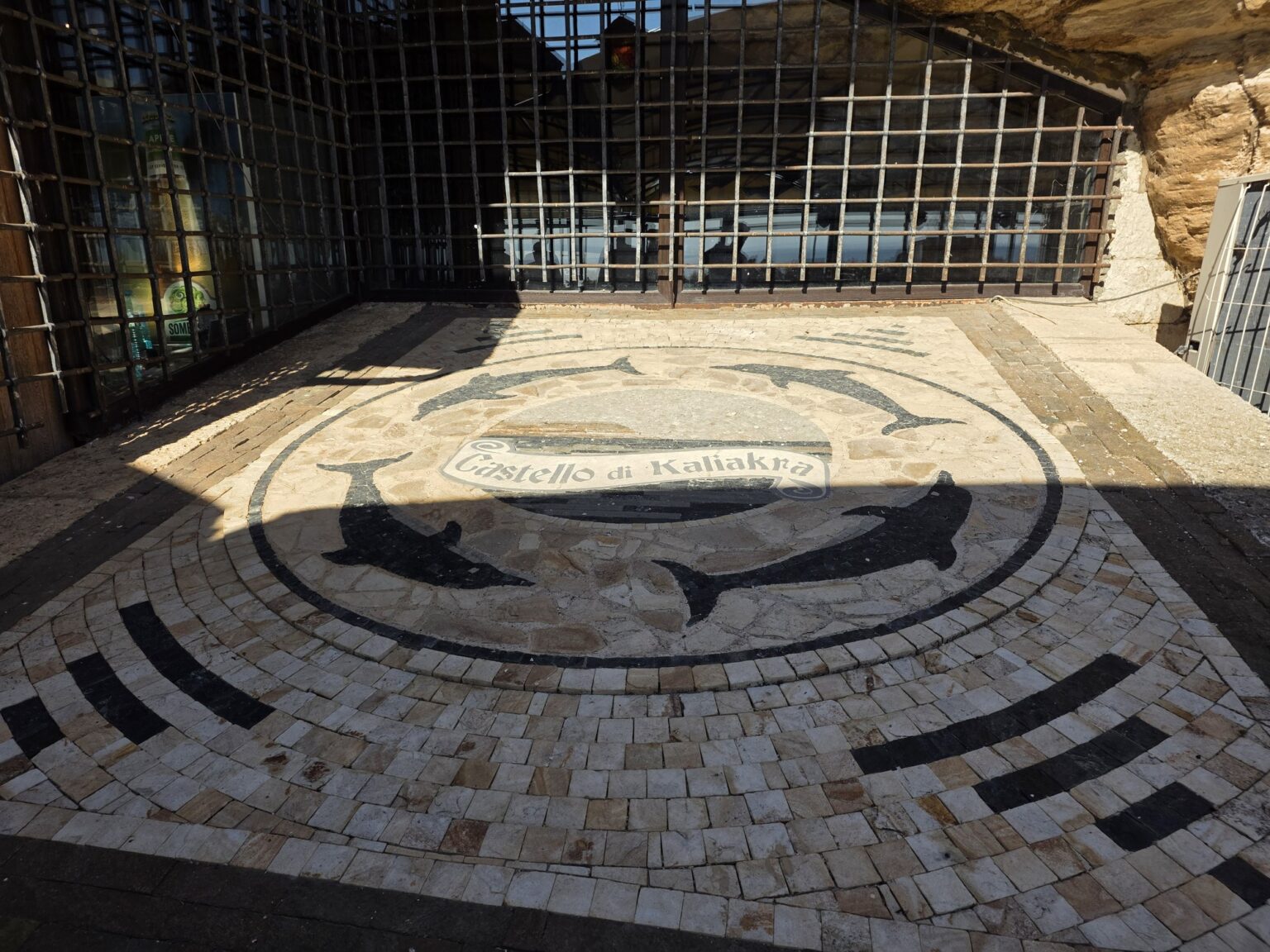
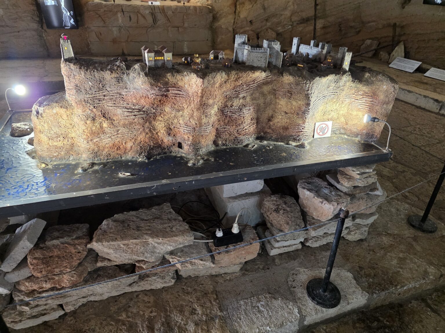
The display is small, and that is exactly why it works: a scale model of the fortress under a roof, cases of pottery, icons on the wall and a dolphin mosaic by the entrance. Ten minutes is enough, but they are worth spending — once you have walked the foundations outside, the model suddenly organises them.
The very tip
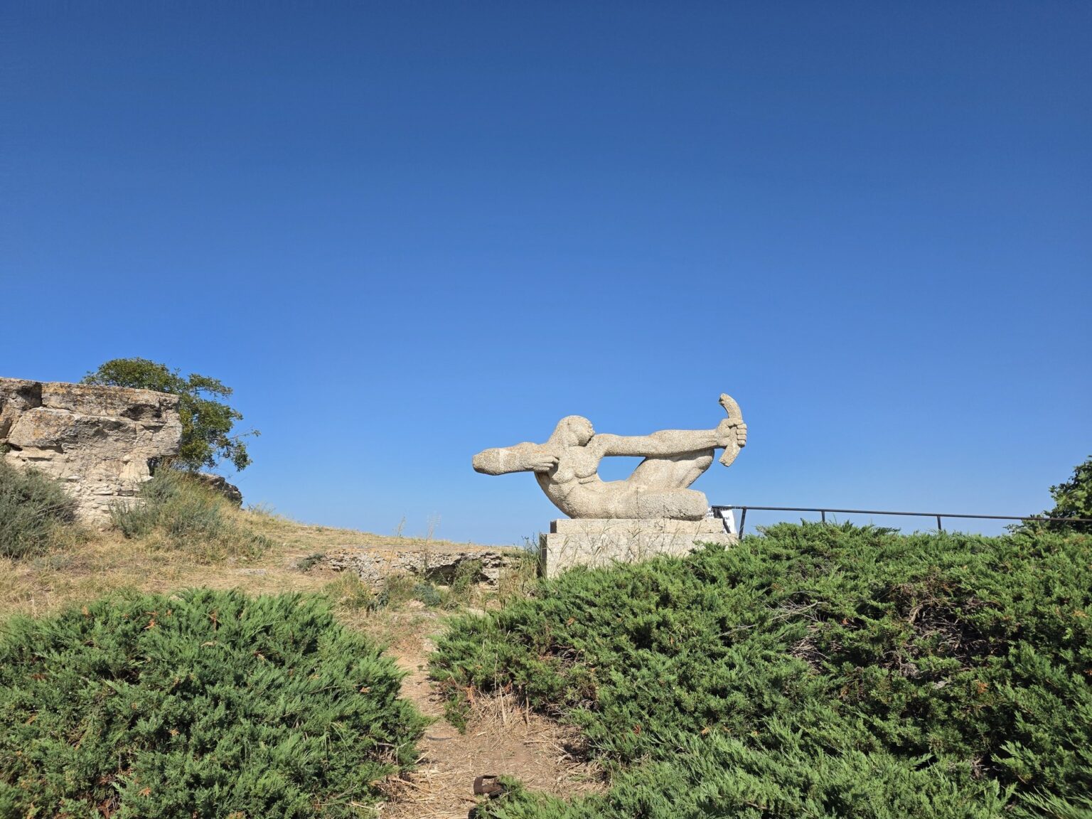
The last hundred metres change character. The grass runs out and huge stone blocks take over, with natural niches between them, and above it all a stone figure of a warrior stands against bare sky. A single cypress holds on at the very edge and looks exactly as out of place as that sounds.
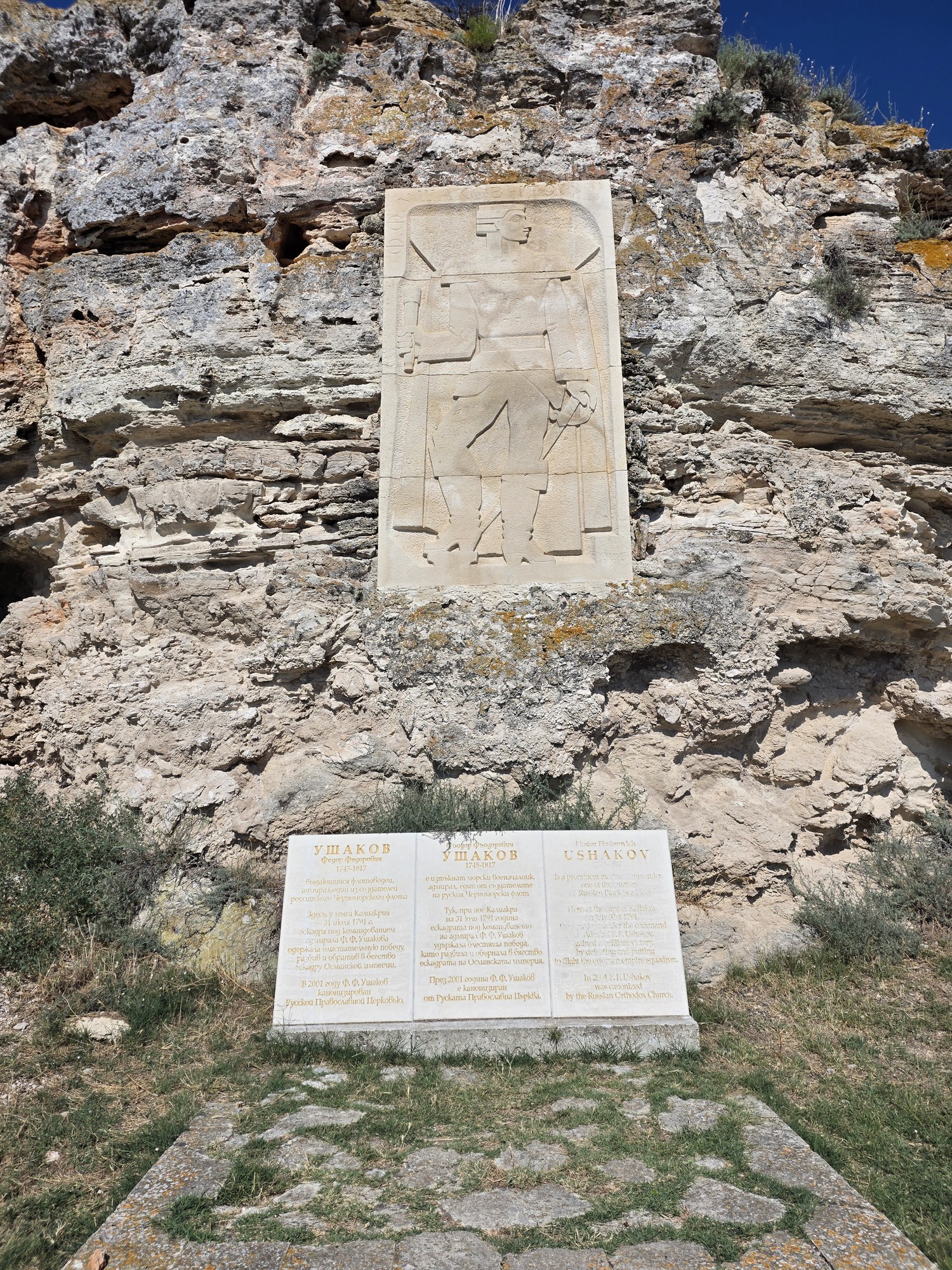
After that there is nothing but water. It was directly off this tip that Admiral Ushakov destroyed the Ottoman fleet on 31 July 1791, in the largest naval battle ever fought in the Black Sea — the short version is under 11 August. Standing seventy metres up with the wind coming vertically at you, hundreds of warships are hard to picture. Why somebody decided to build a fortress precisely here, on the other hand, is instantly obvious.
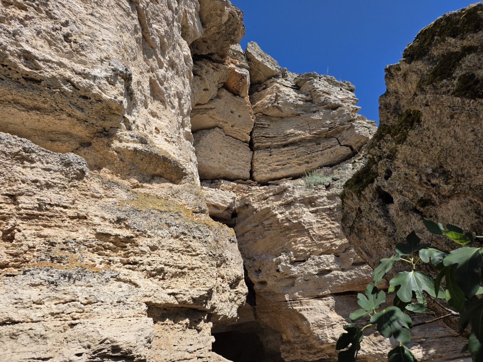
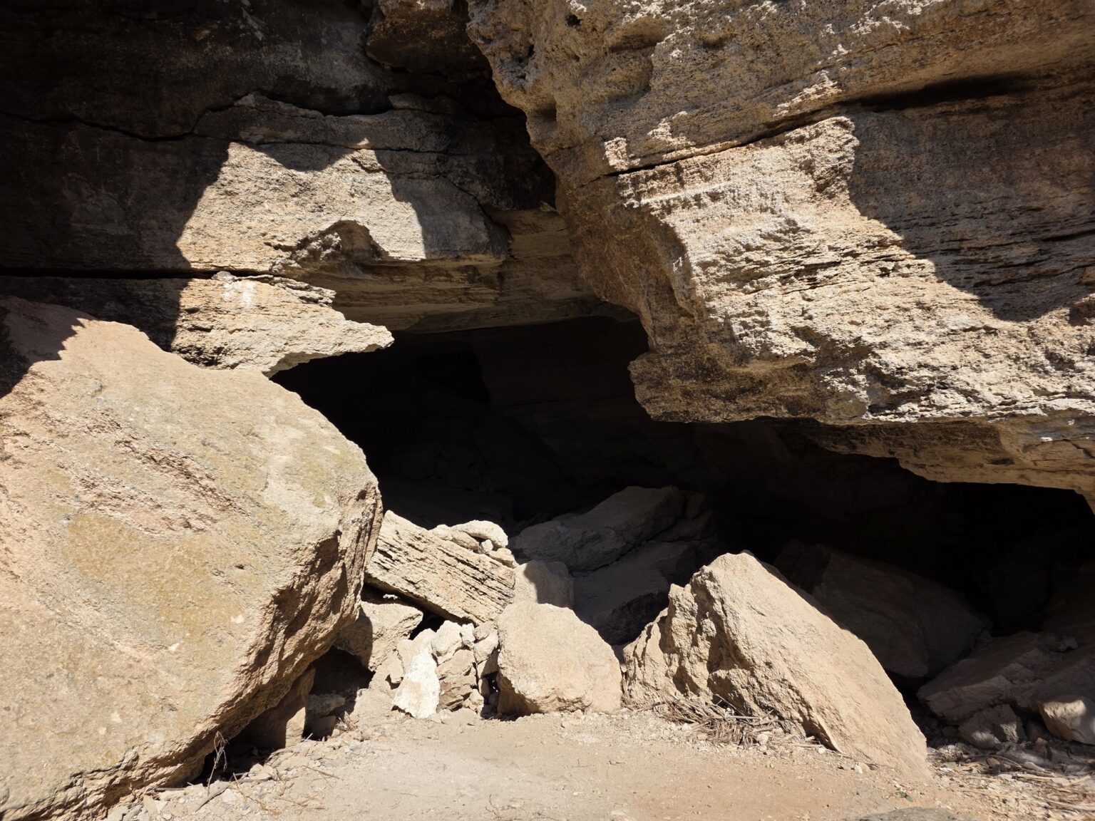
The same 800 metres take fifteen minutes on the way back, because you have seen it all and you walk faster. Worth it — and not for the fortress, which is down to its foundations, but for the shape of the place itself. Two kilometres of rock in the sea, three layers of history on top and one path you cannot get lost on. The tip is the reason you come; the rest is a bonus.
Related video: there is no dedicated Bulgaria From Above episode for Kaliakra yet, but the cape is No. 4 in Top 5 of Bulgaria’s Epic Castles and Fortresses — it is on video there alongside Tsarevets, Baba Vida, Asen’s Fortress and the Hisarya hill above Lovech. It also turns up in Top 10 Ideas for Hiking in Bulgaria, if you would rather see it as a walk than as a ruin.