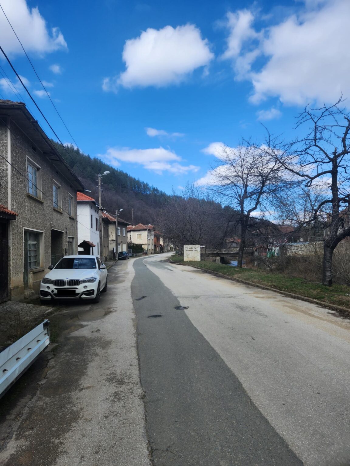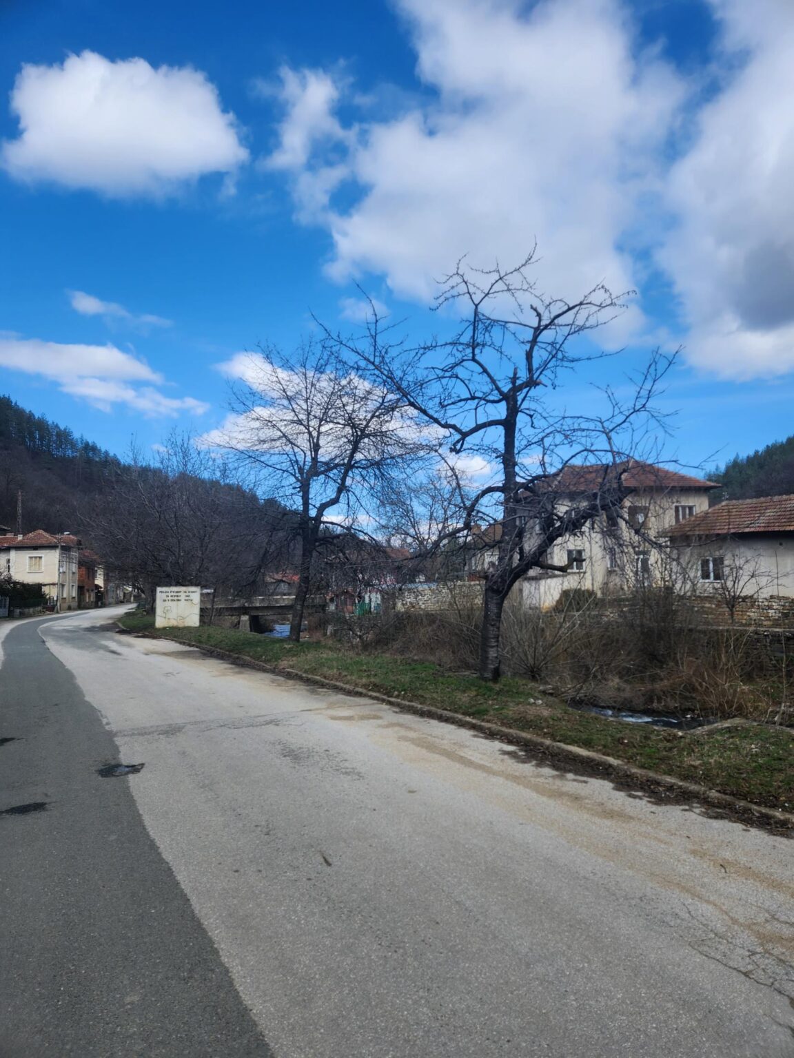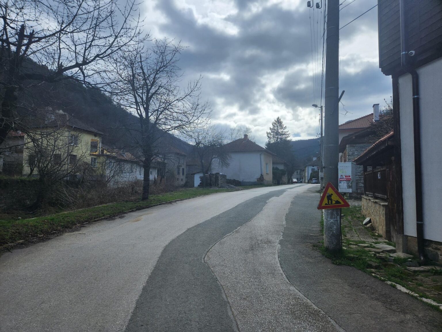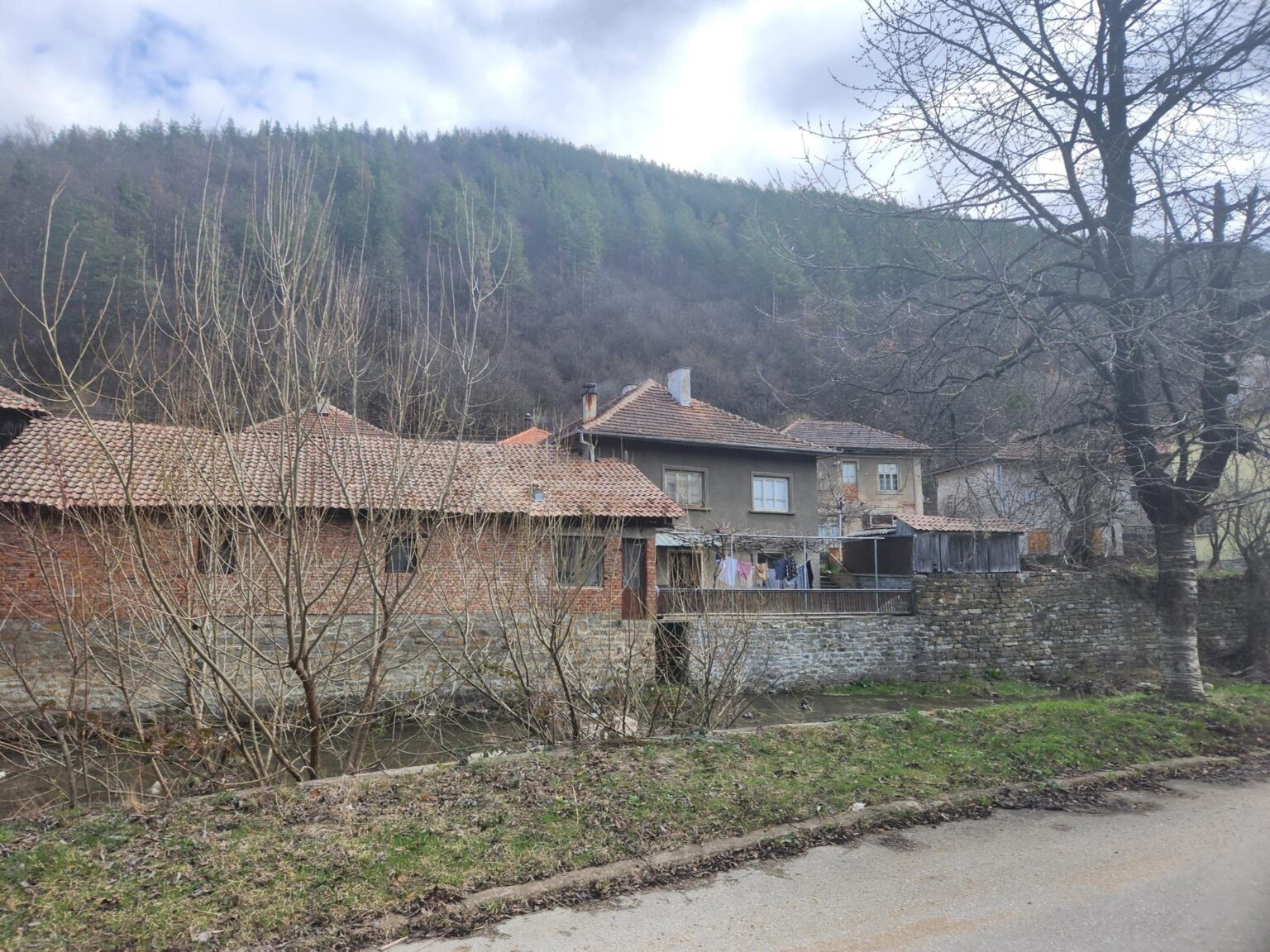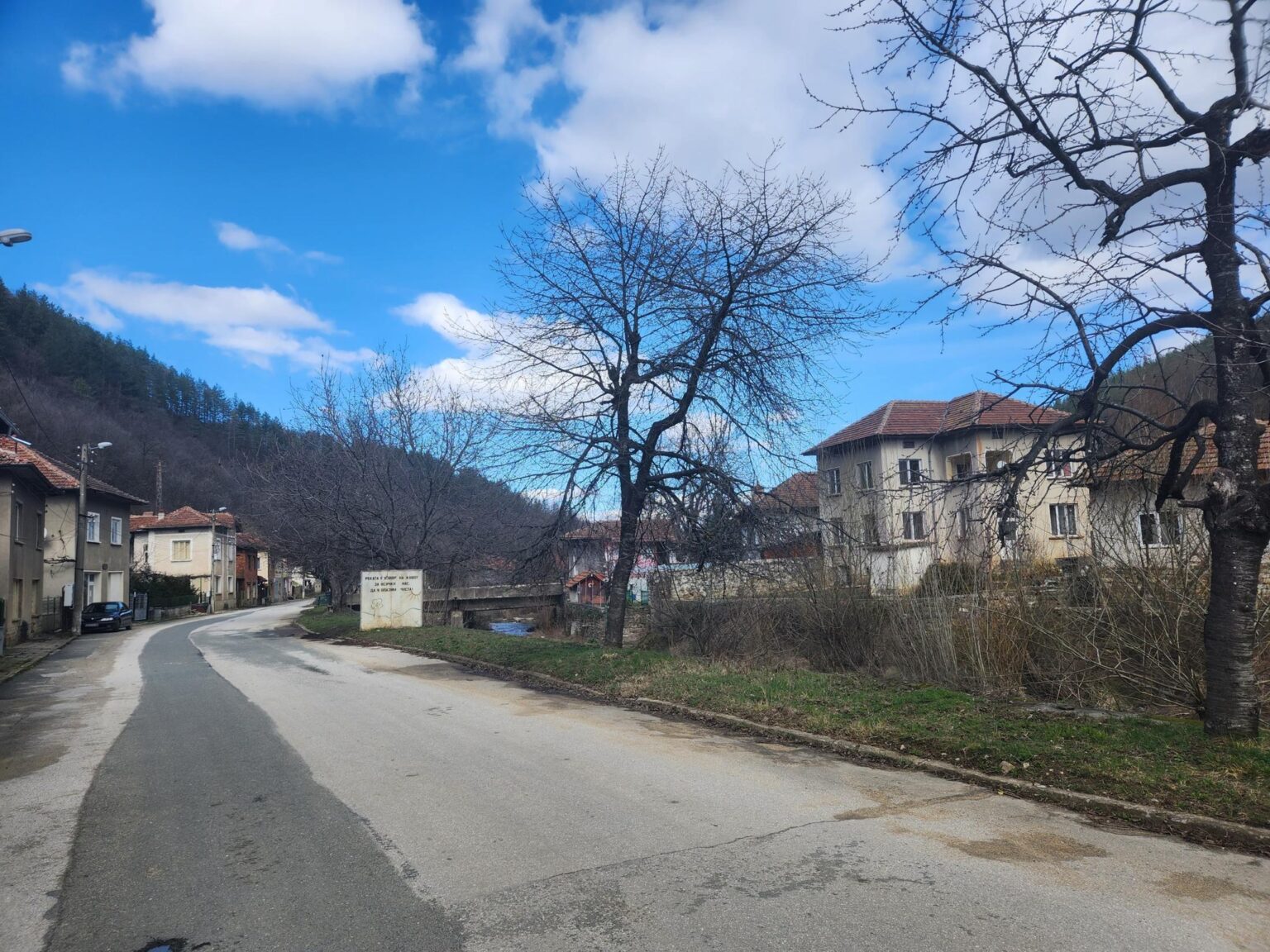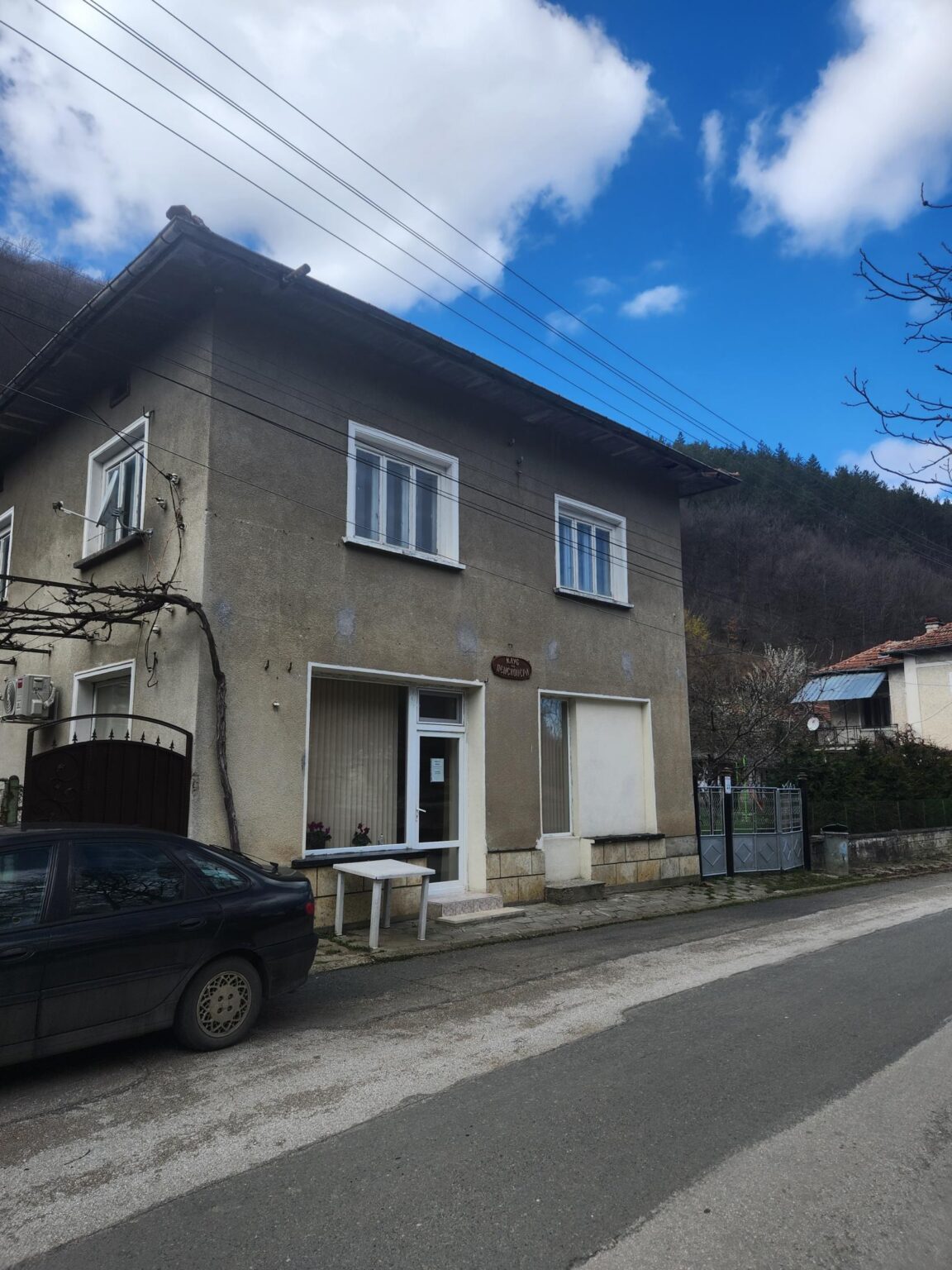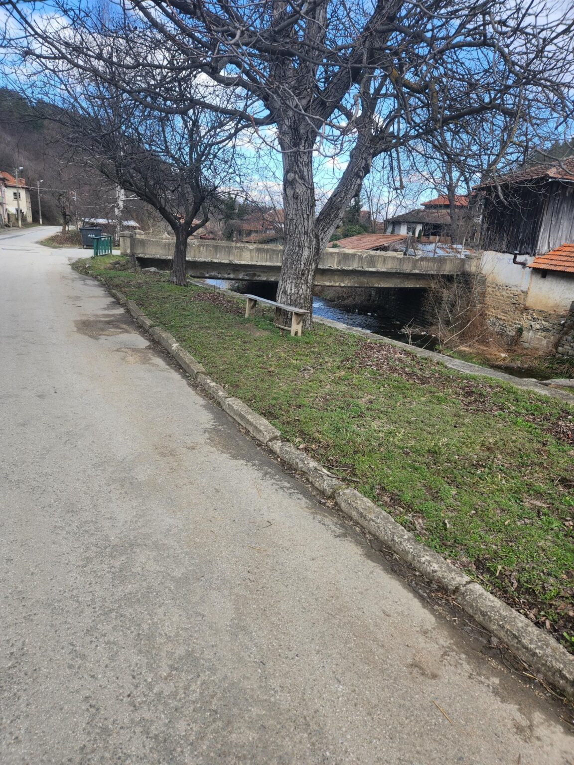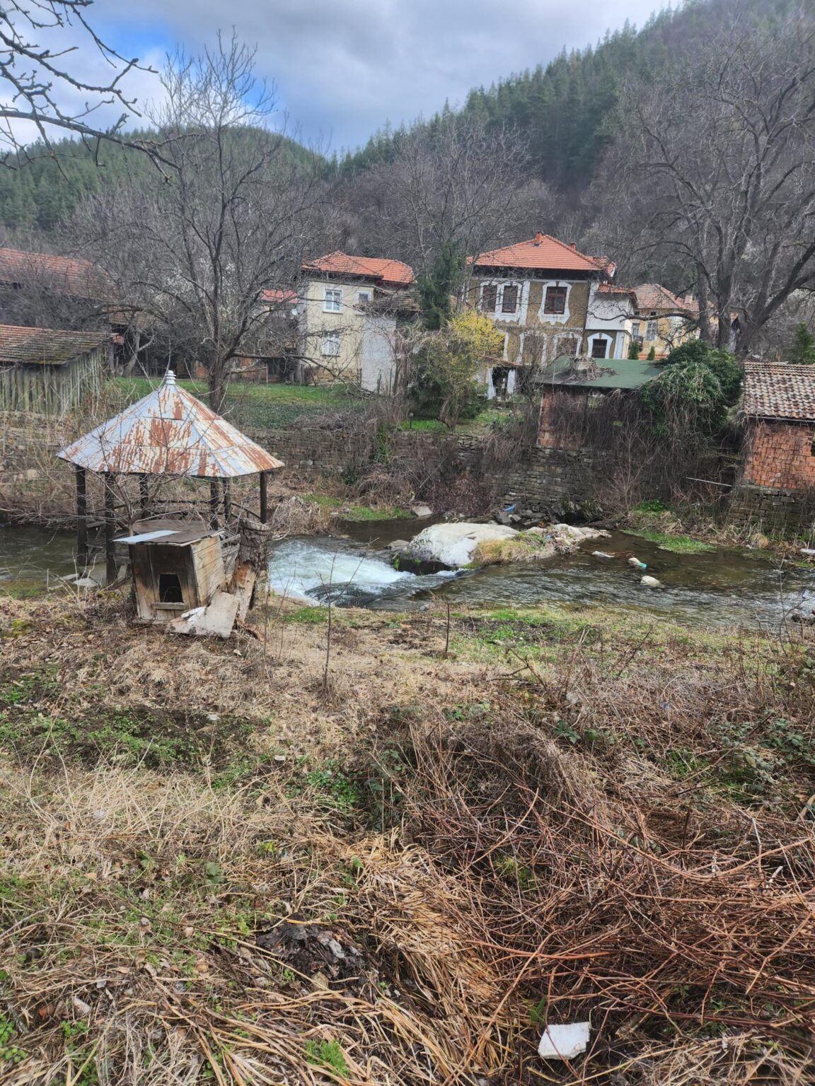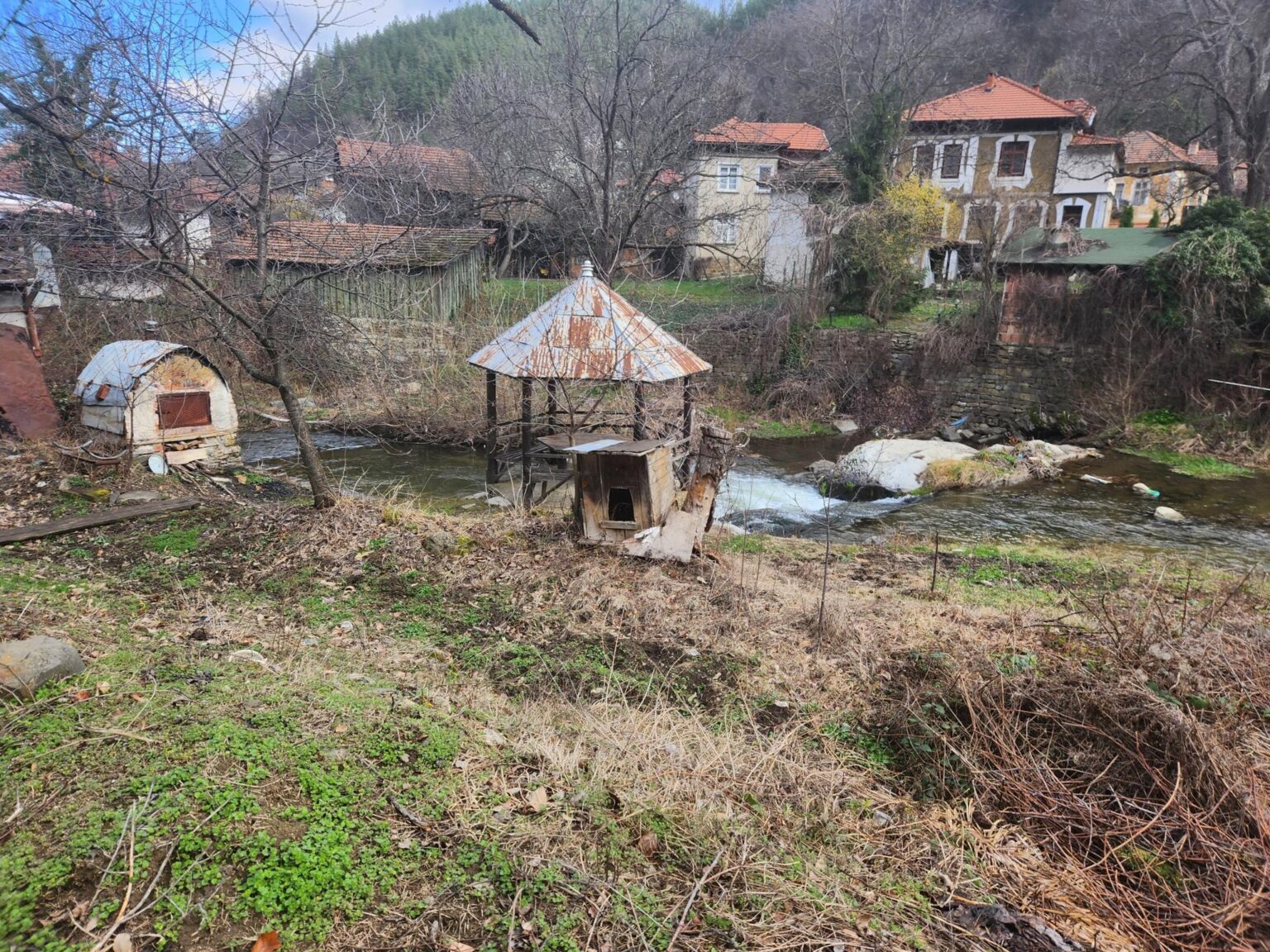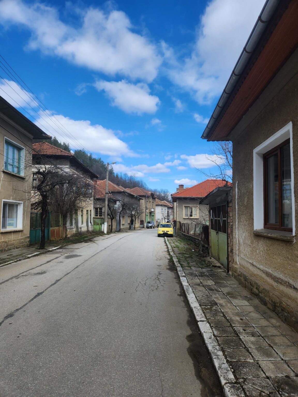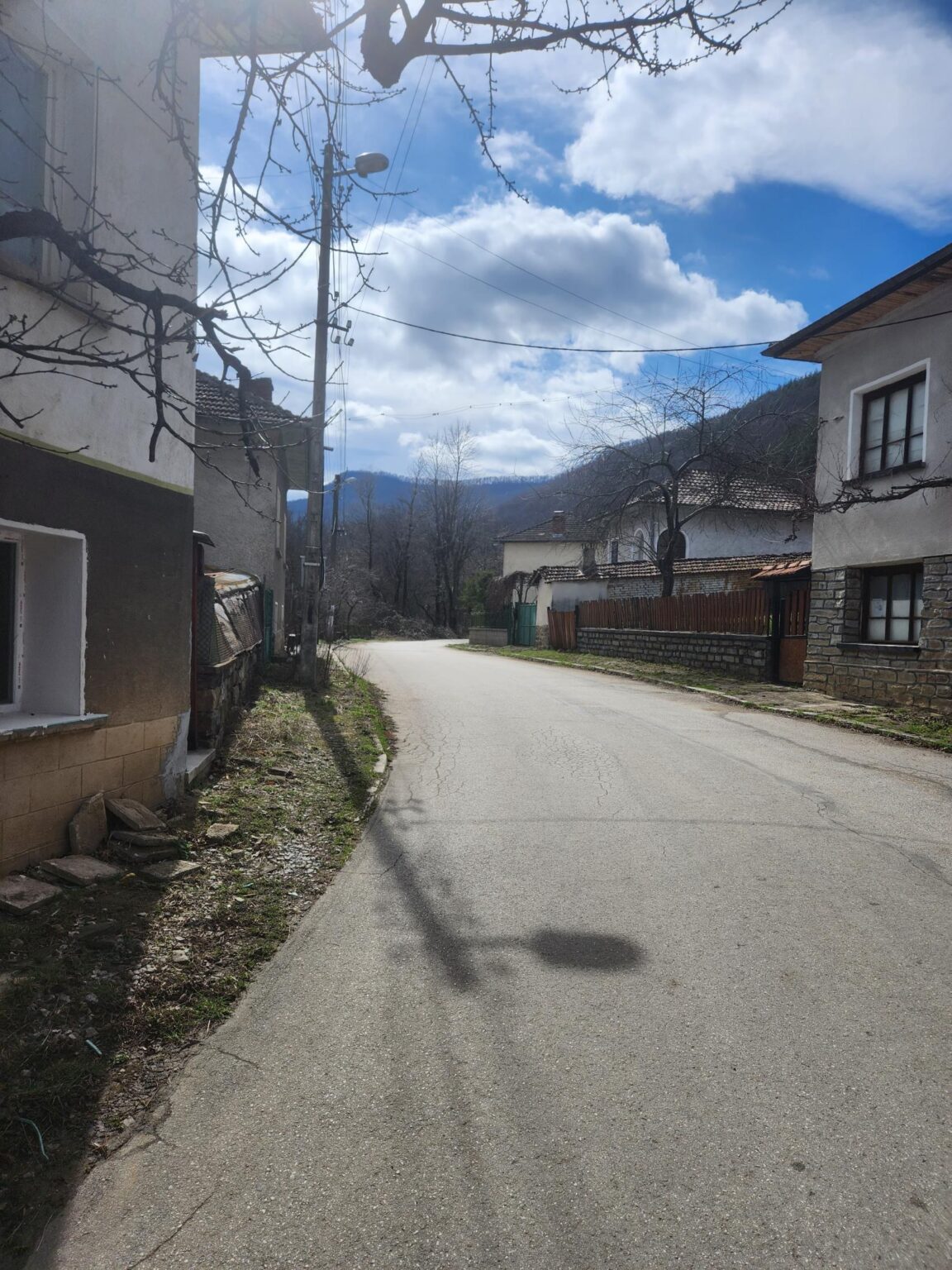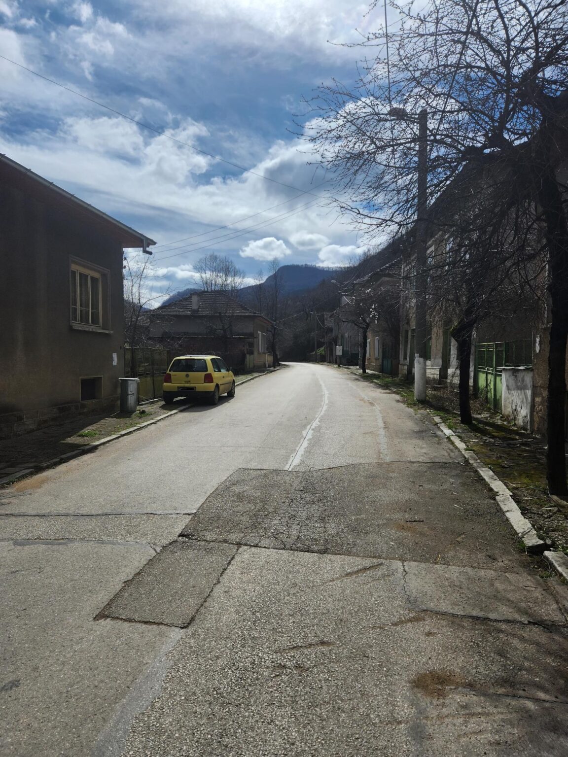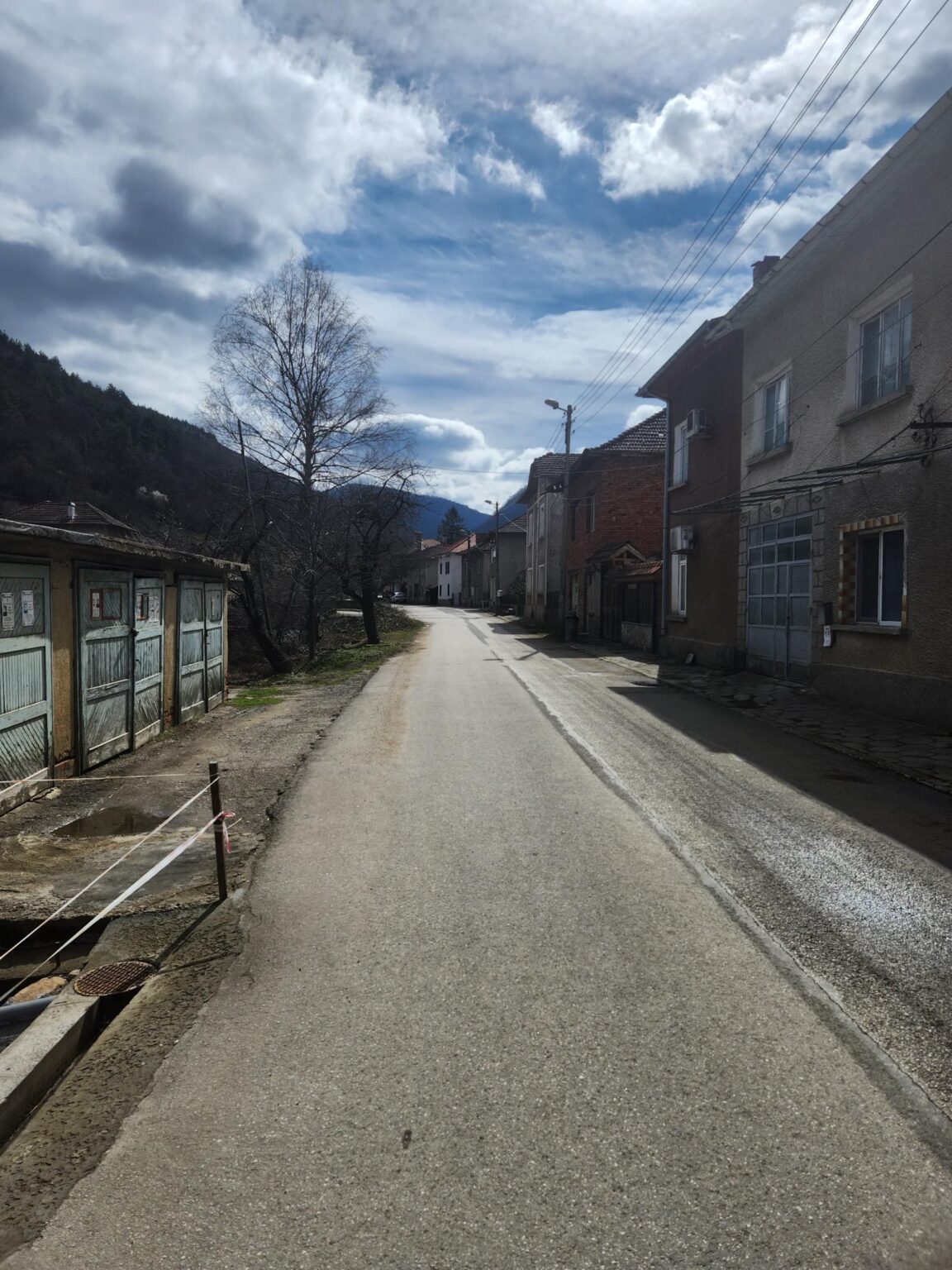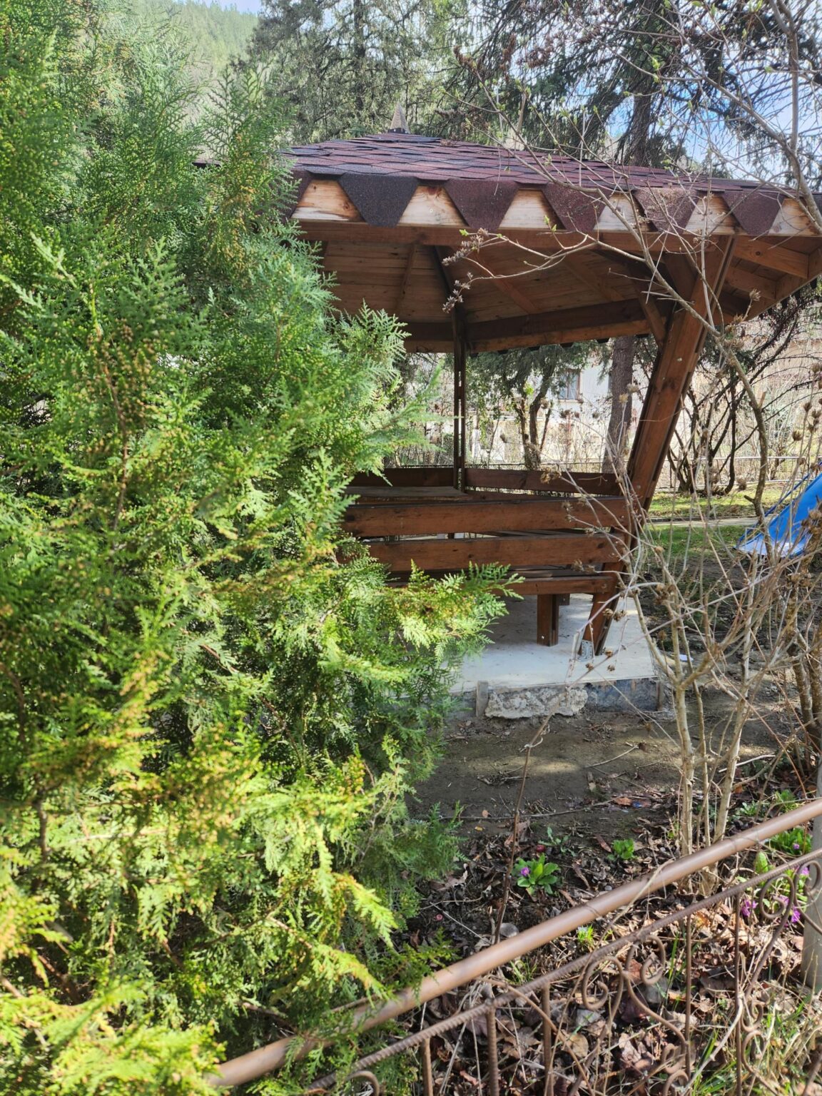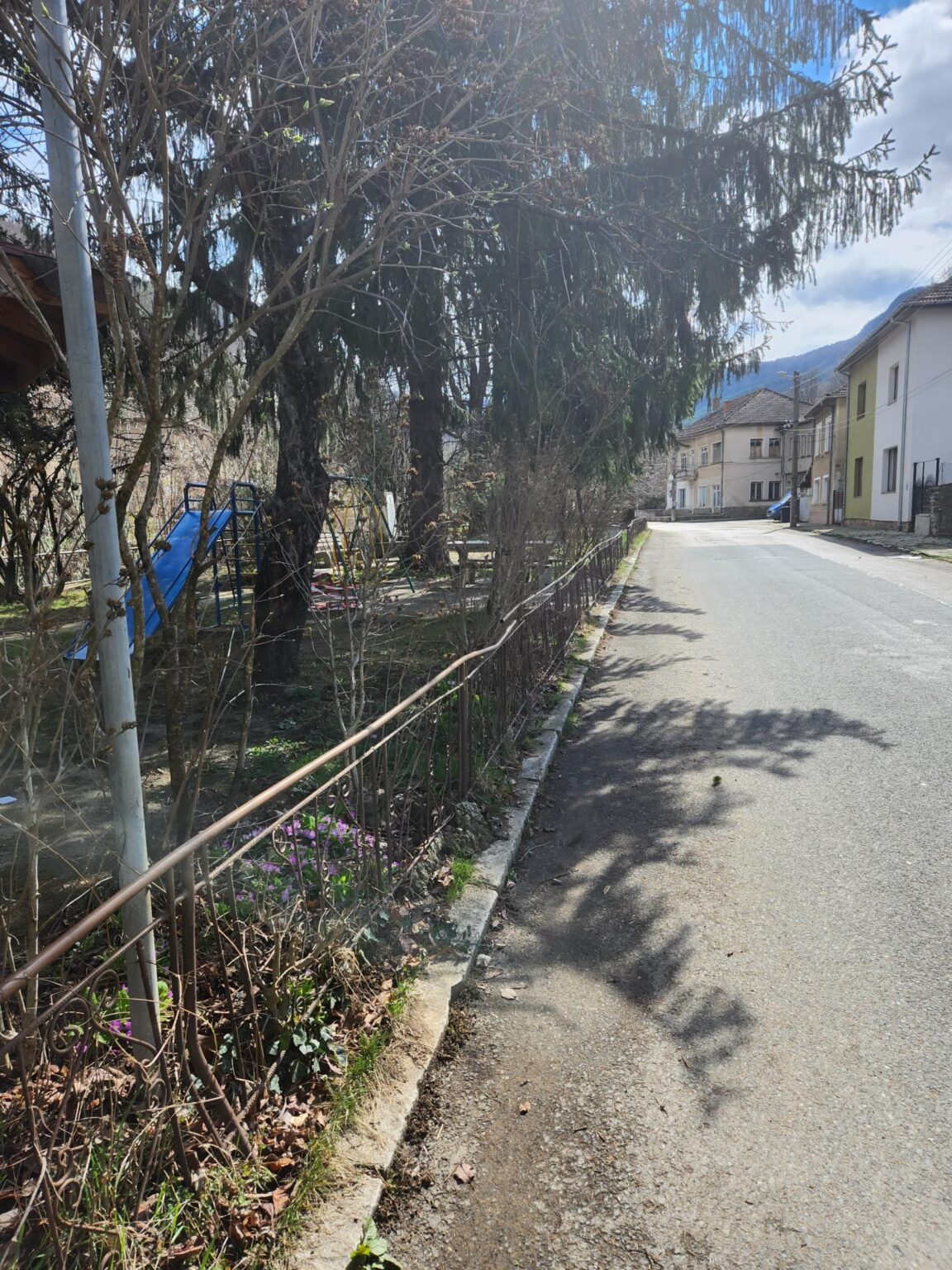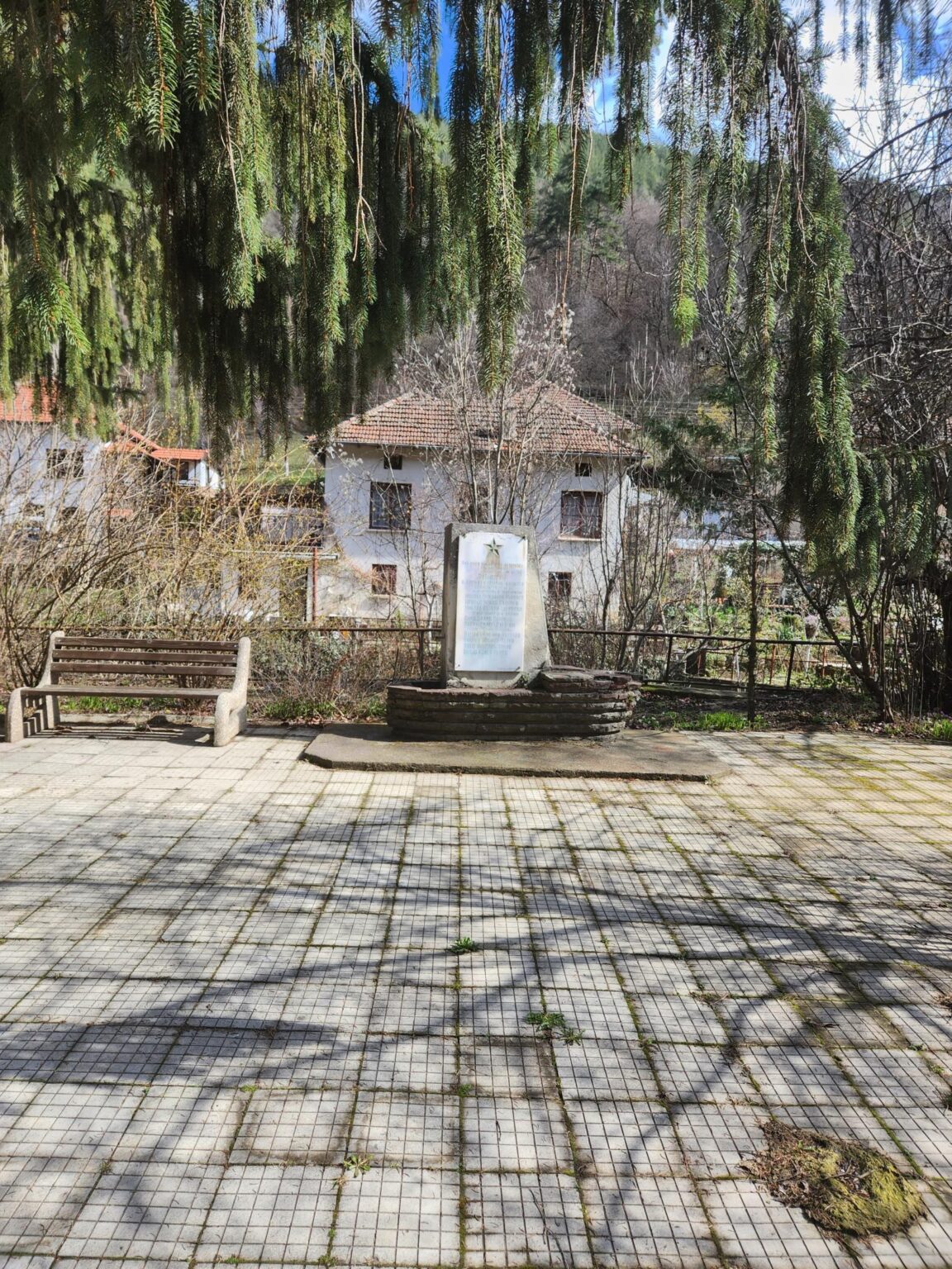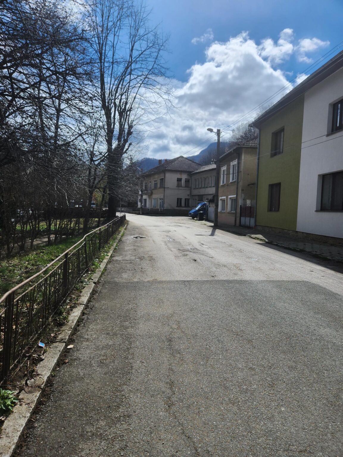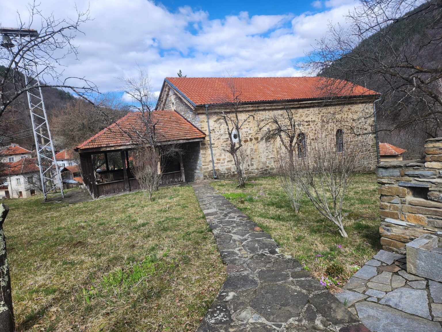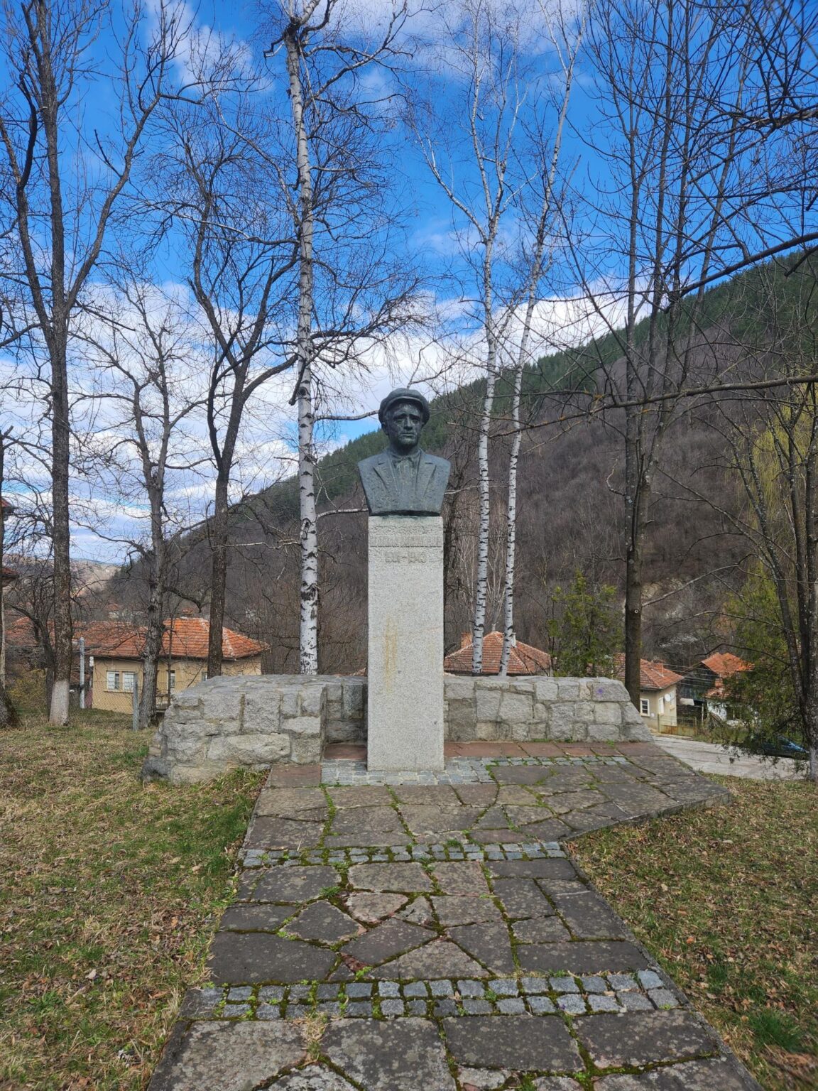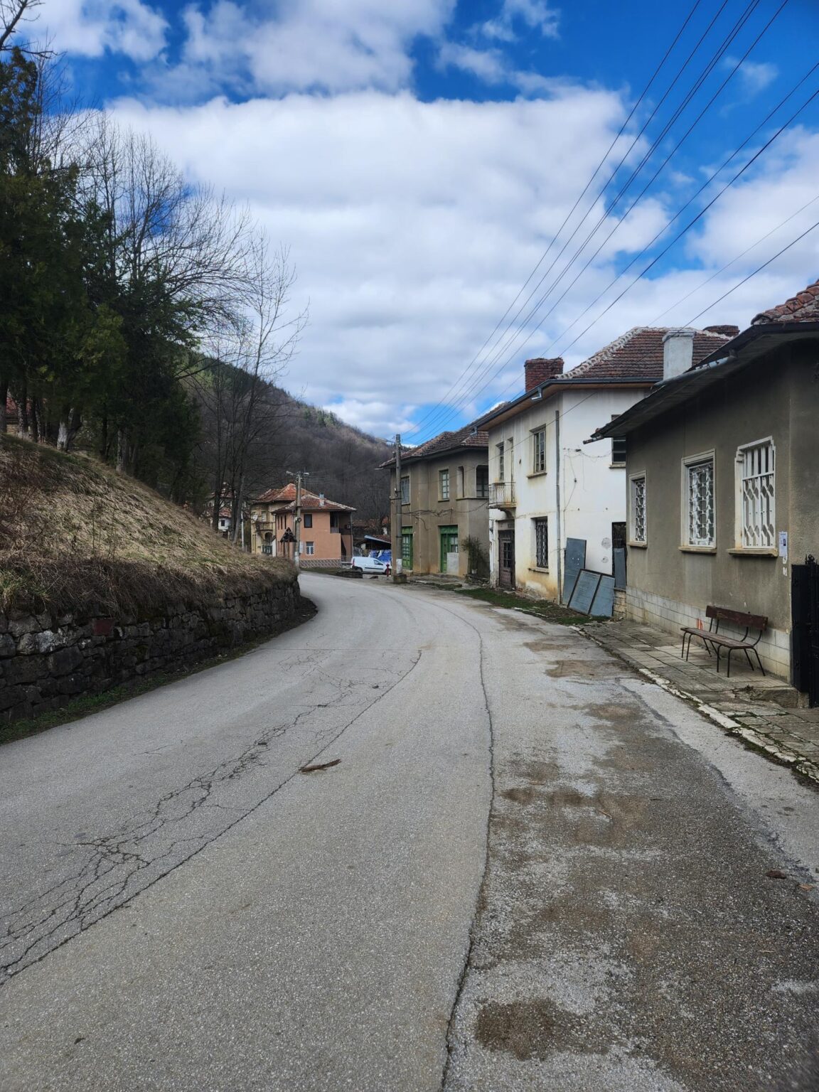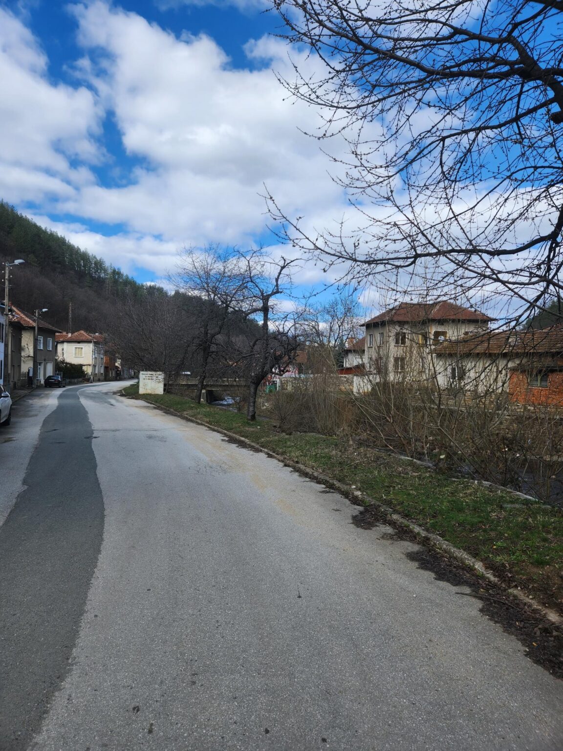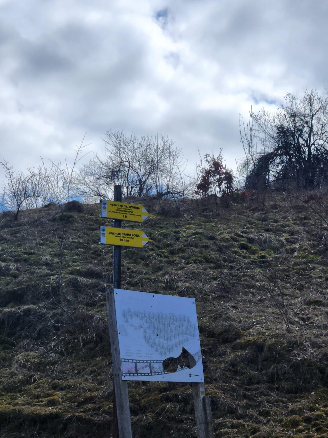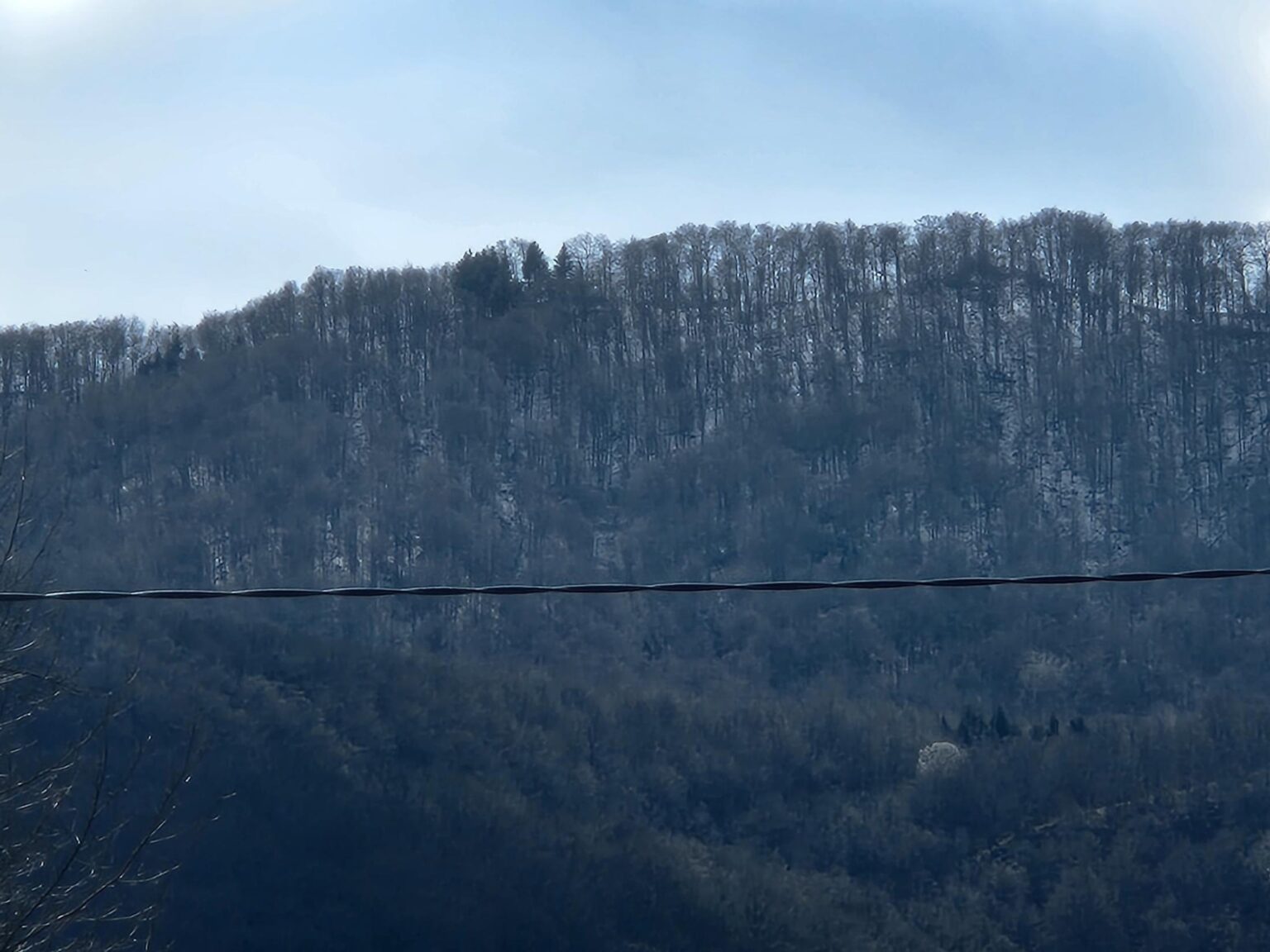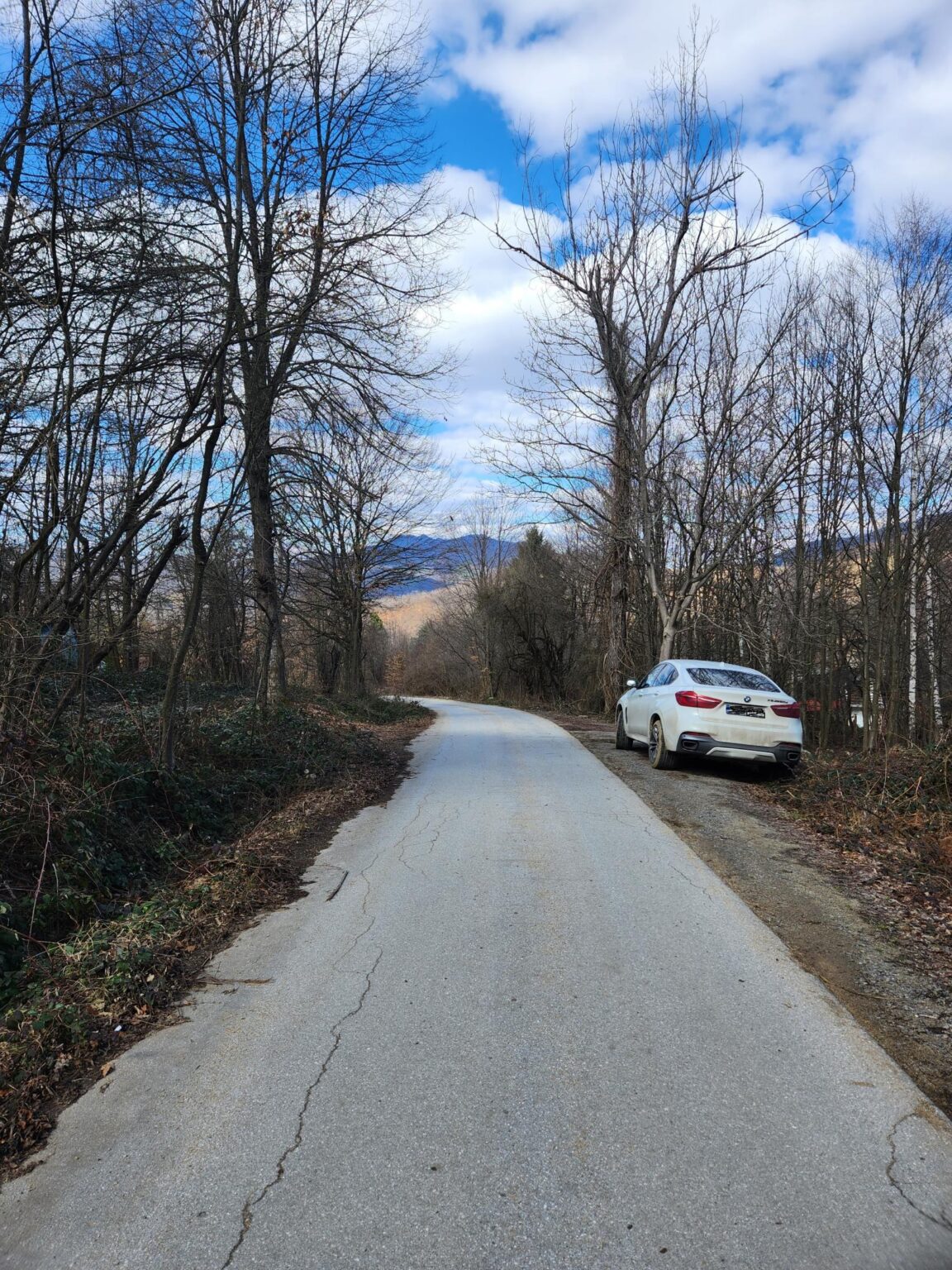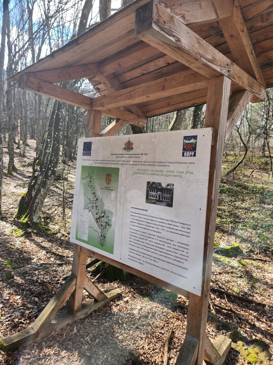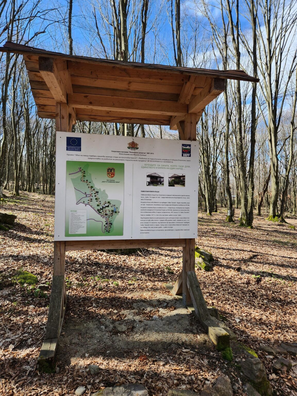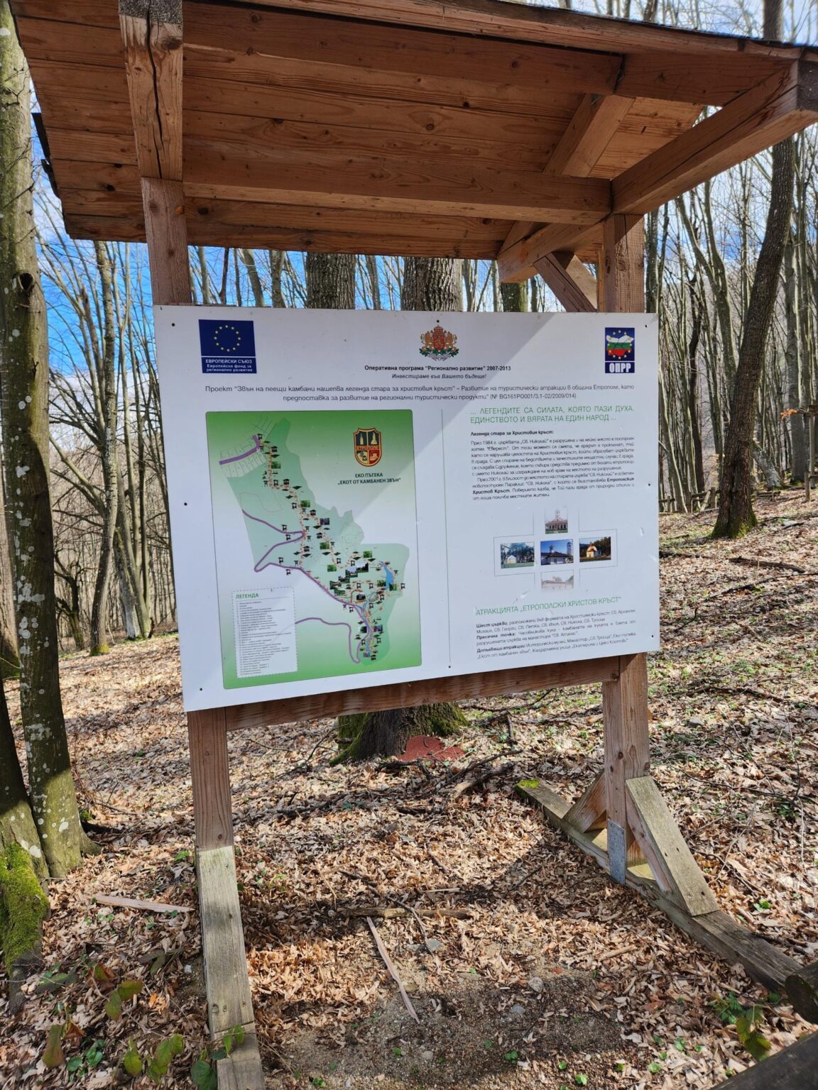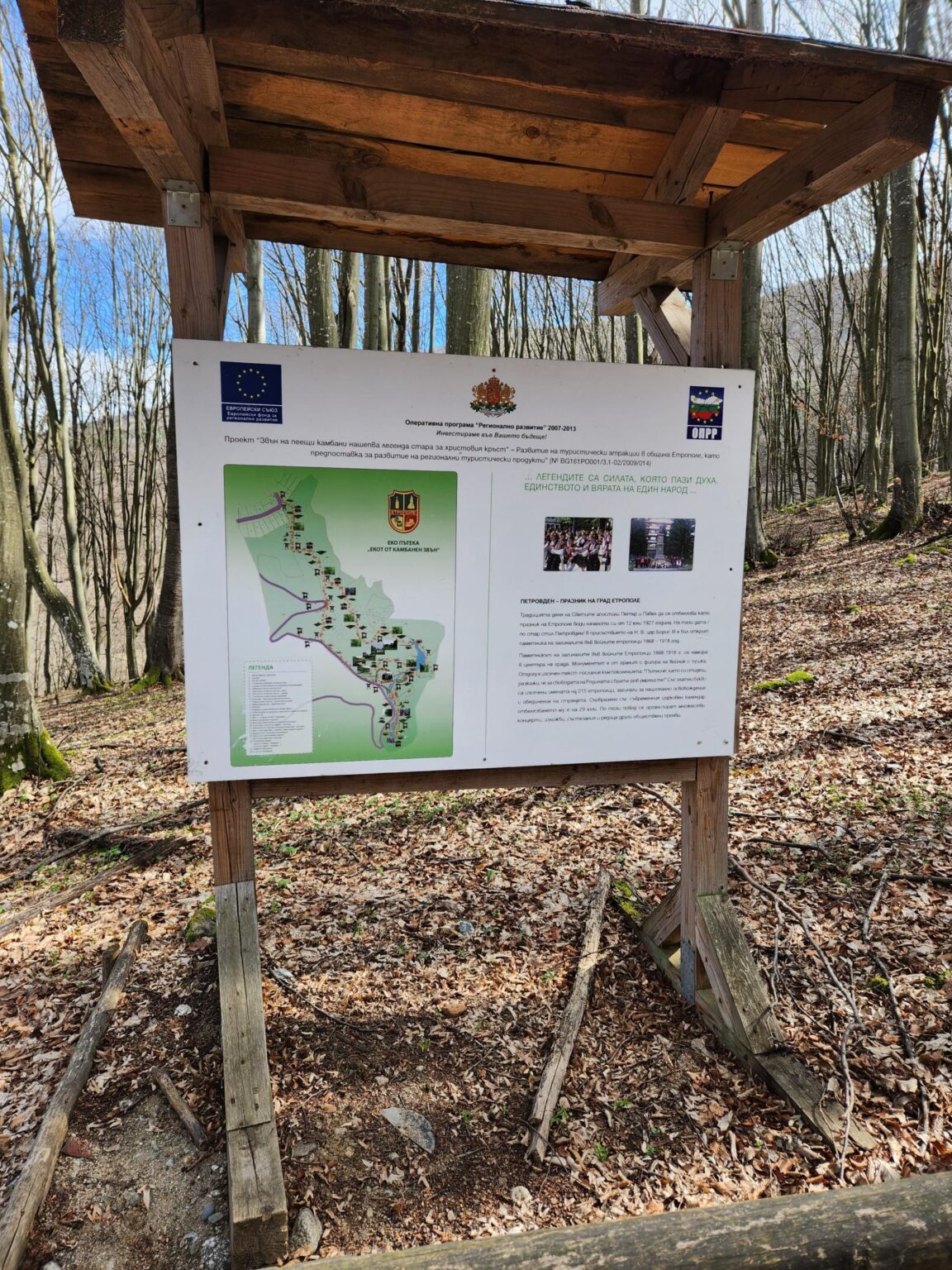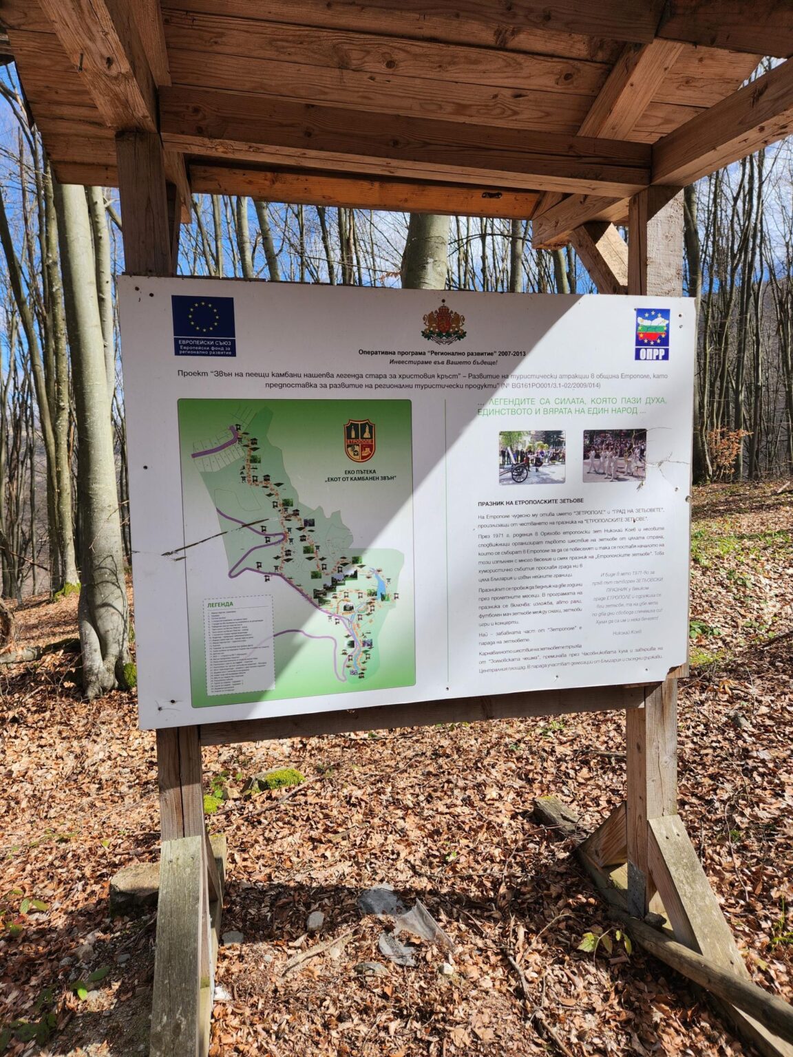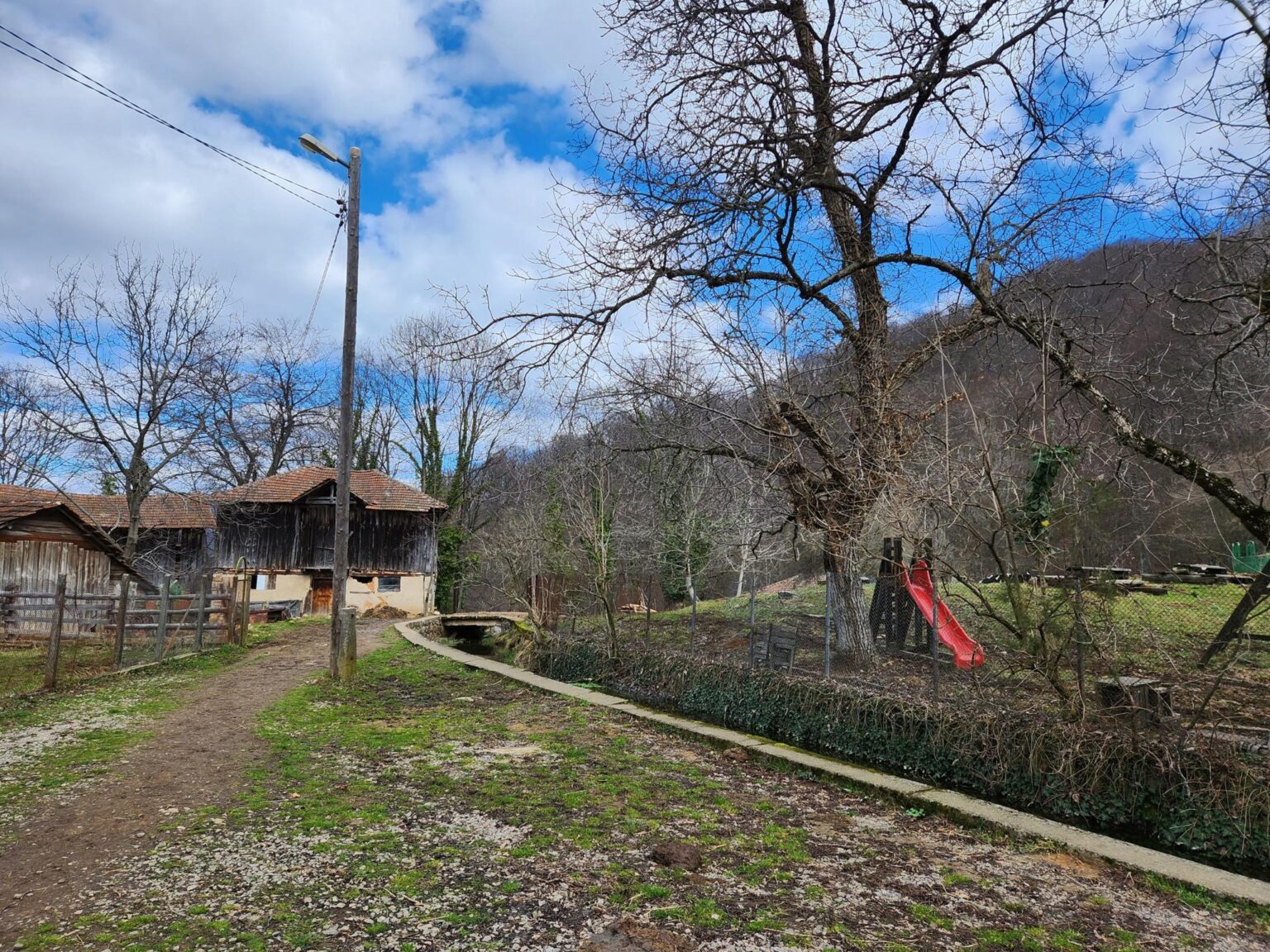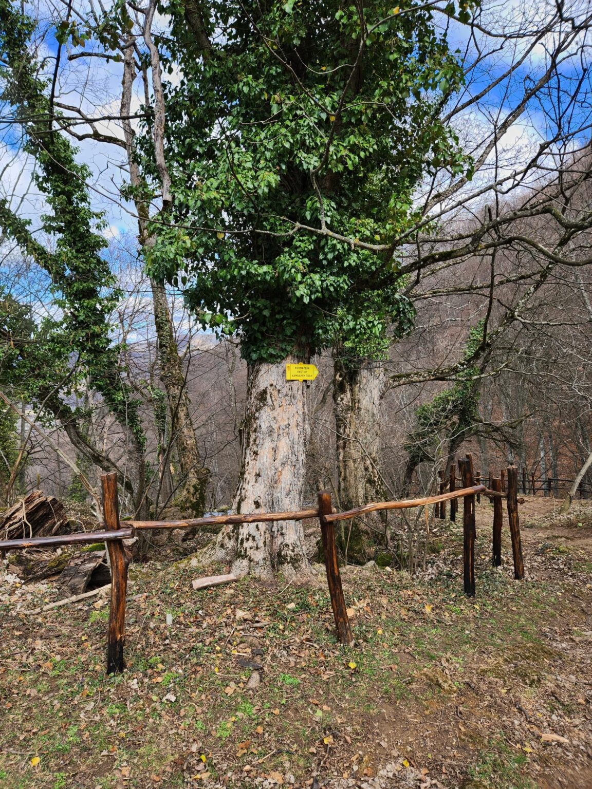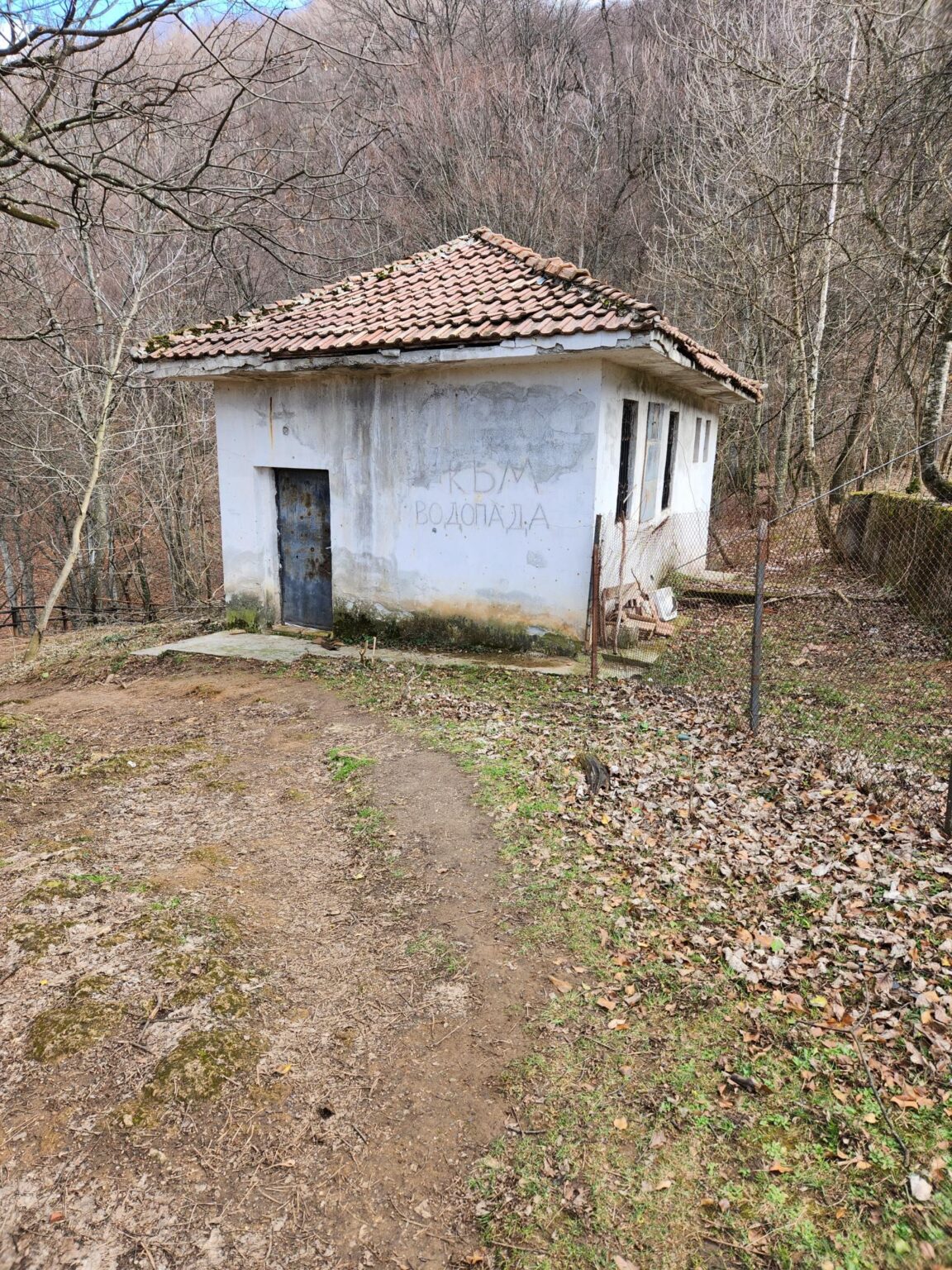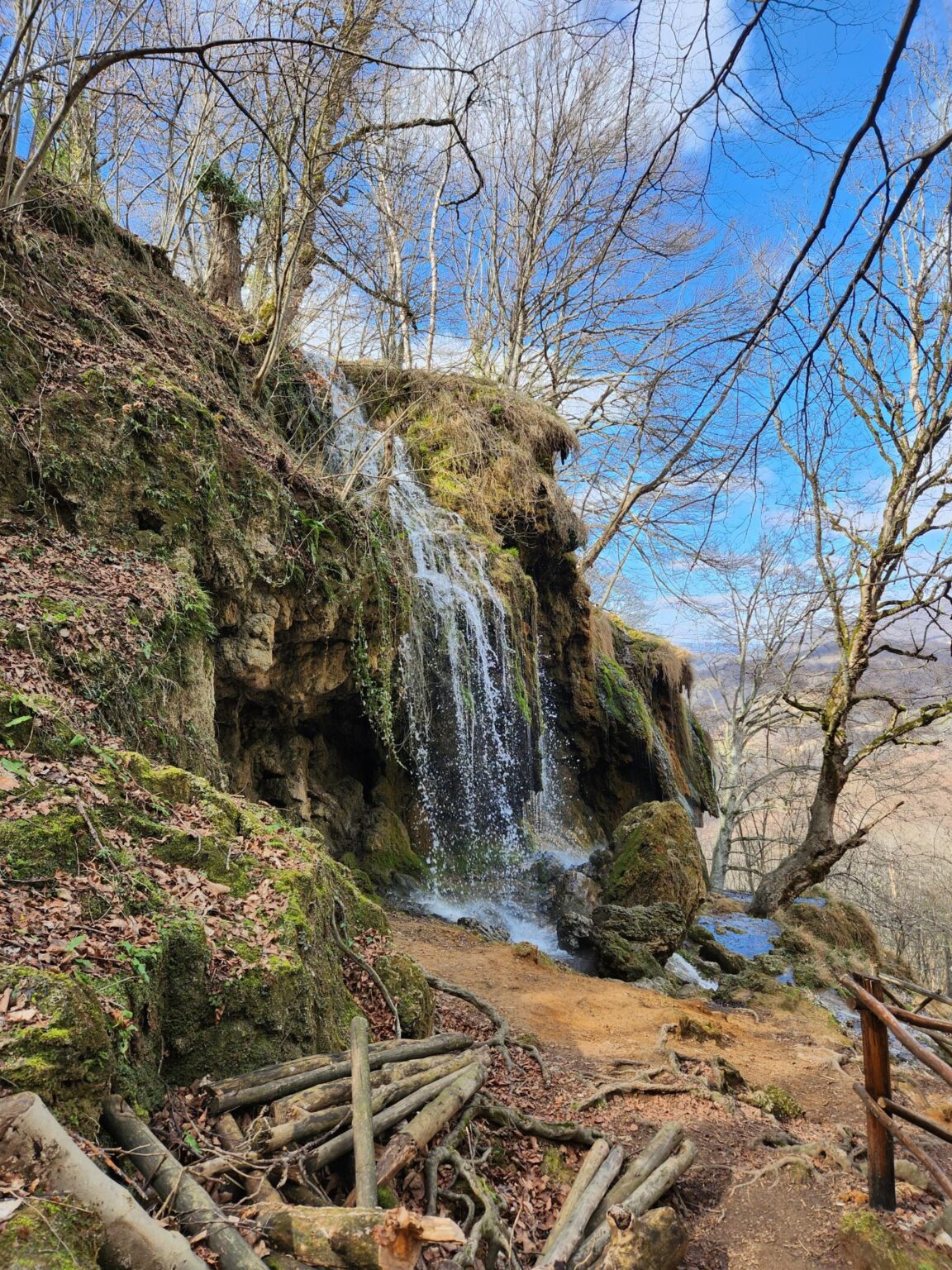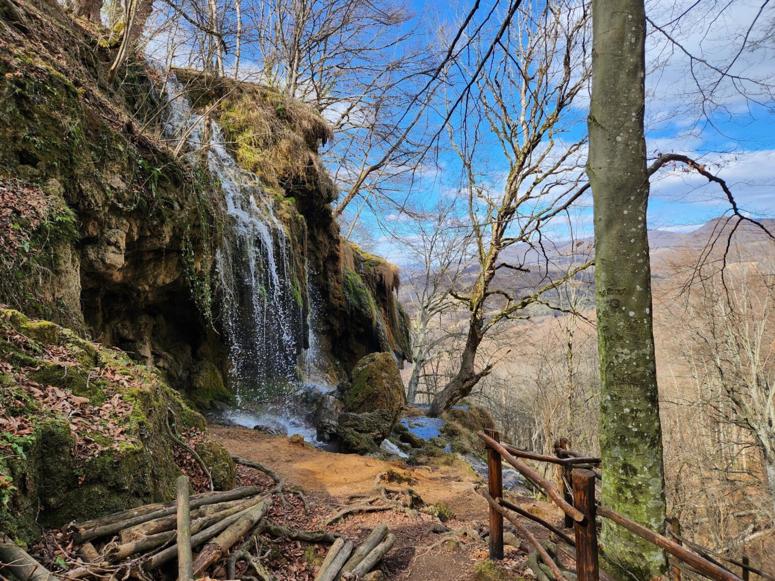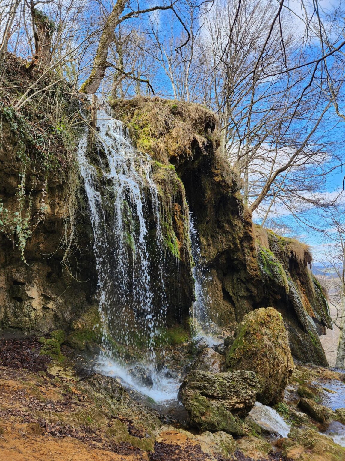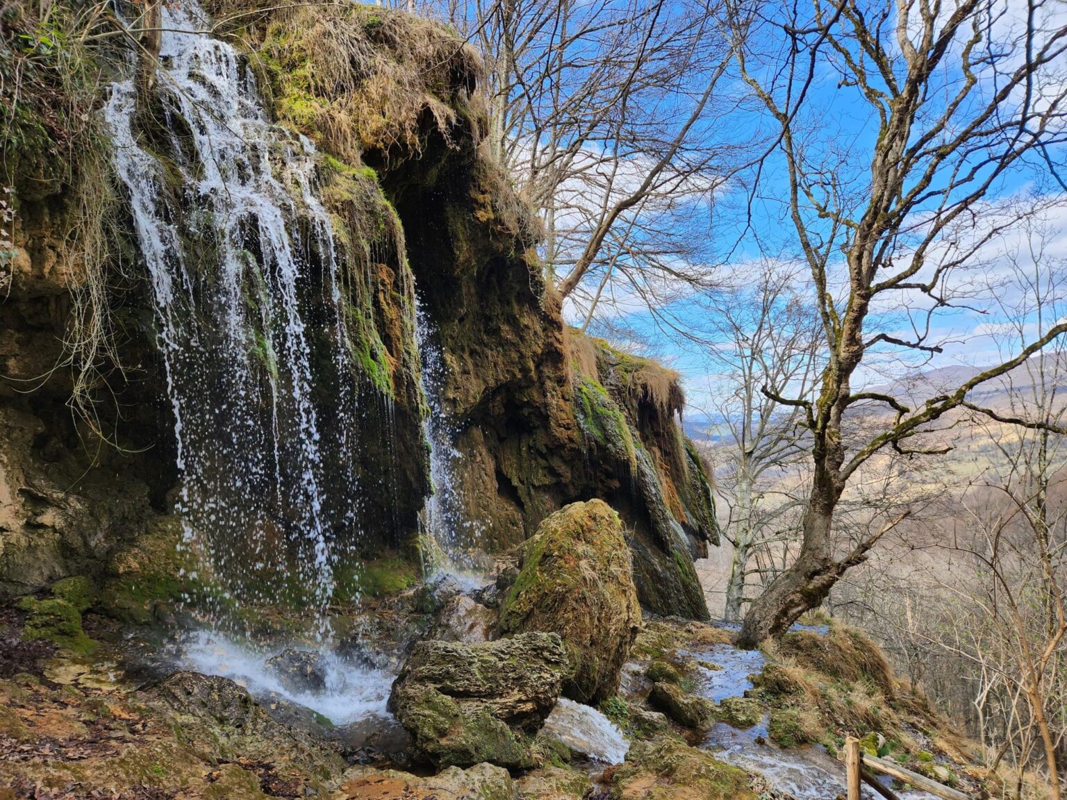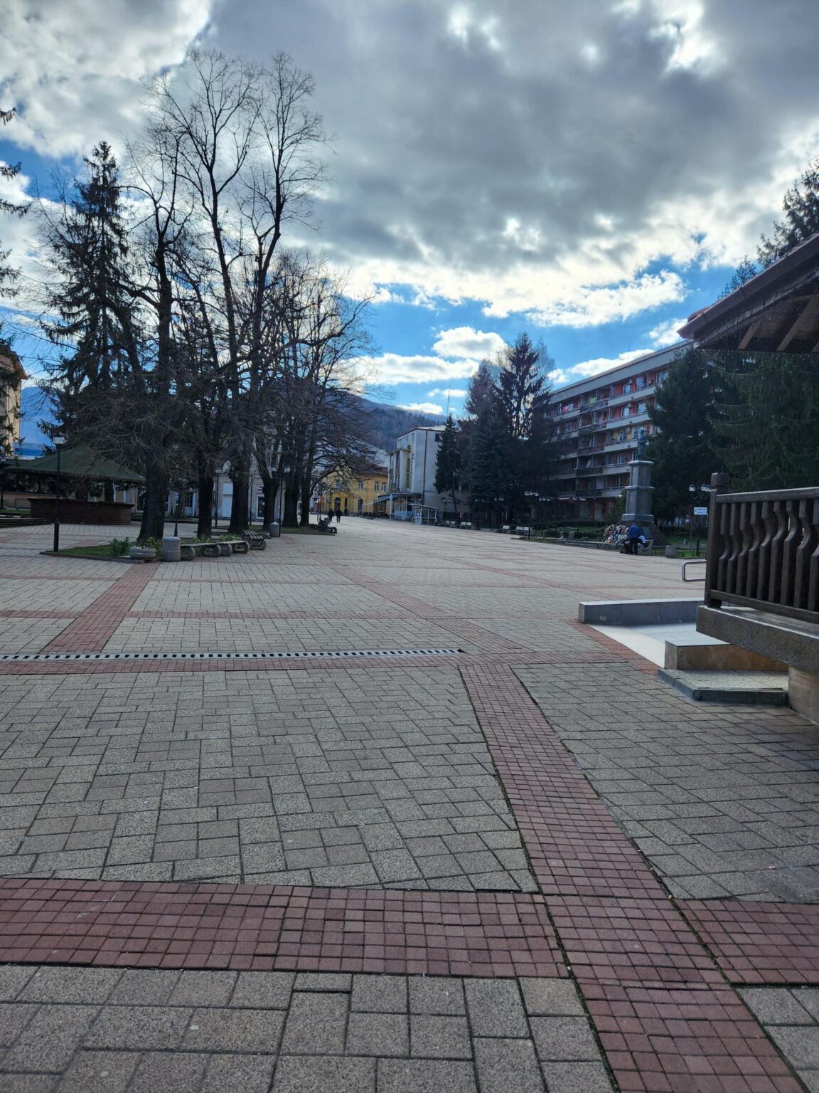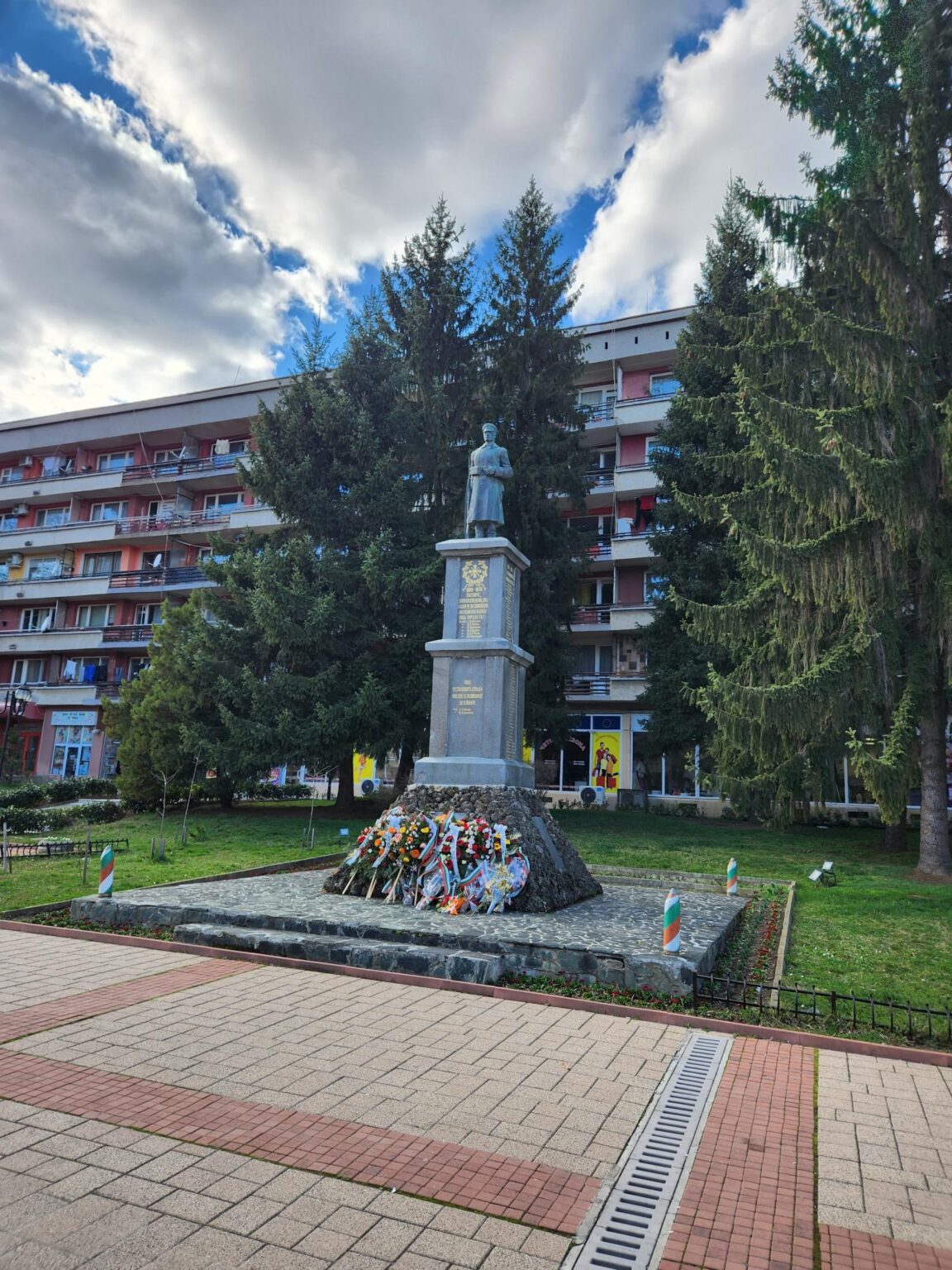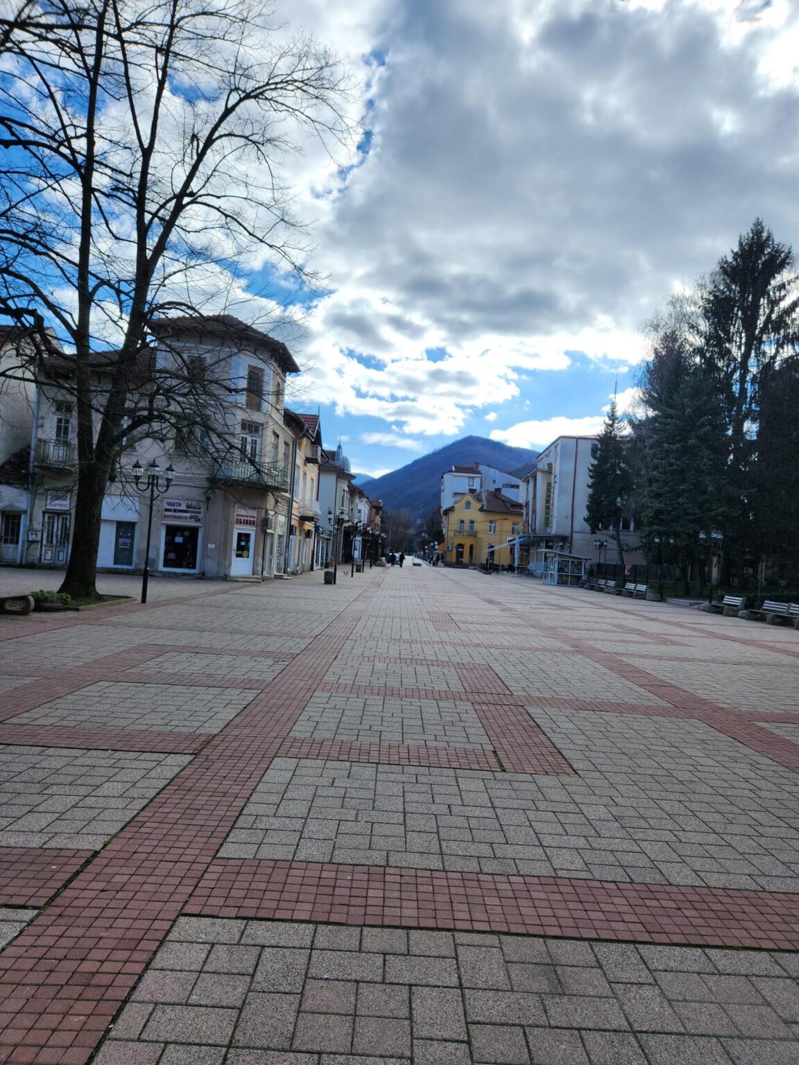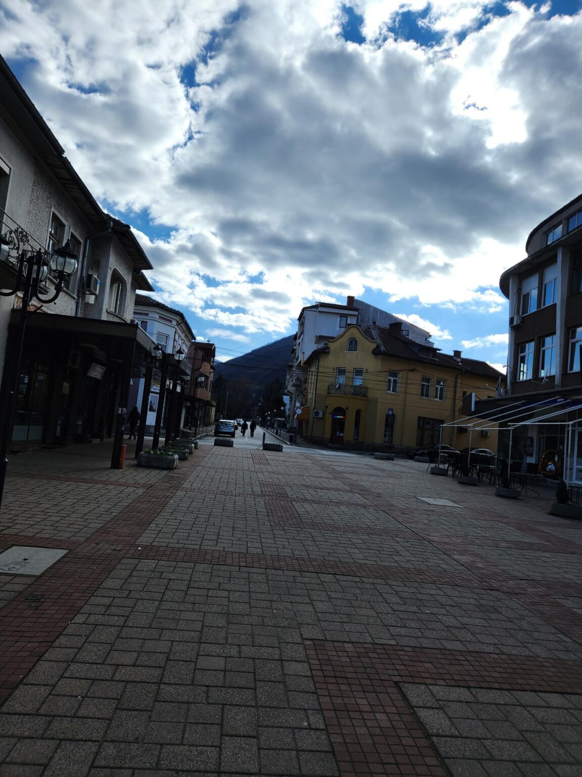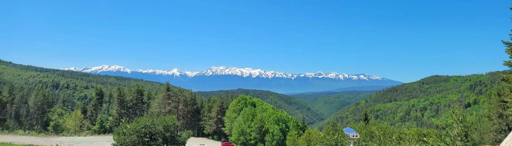
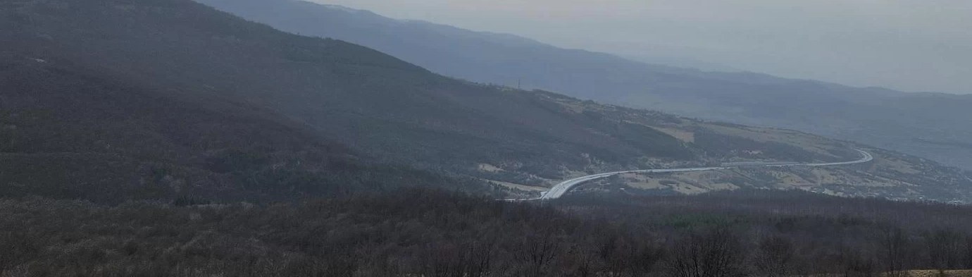
February 2023. Winter and cold? Not a problem, because there simply aren’t any. The weather is fantastic, it’s Sunday, and it’s time to stretch our legs. The plan is to find something less crowded and less touristy that works as a half-day outing near Sofia. The pick is the Esperanto eco trail, which starts at the very edge of the town of Bankya, in the Mihaylovo quarter.
| Where it is | Bankya, Mihaylovo quarter — Buk Street, past the cemetery; the start is signed „Esperanto Health Path“; Google Maps |
| Getting there | about 20 km from Sofia — around 40 min by car, or about 1 h 20 min by bus 42 |
| Length | roughly 8–9 km round trip |
| Time needed | about 3 hours both ways, including breaks |
| Difficulty | intermediate — not easy, whatever you read online |
| Elevation gain | about 330–340 m, roughly 90% of the route is one constant climb |
| Route type | linear — out and back on the same path |
| Good for children | not really — not recommended for small children or people with limited mobility |
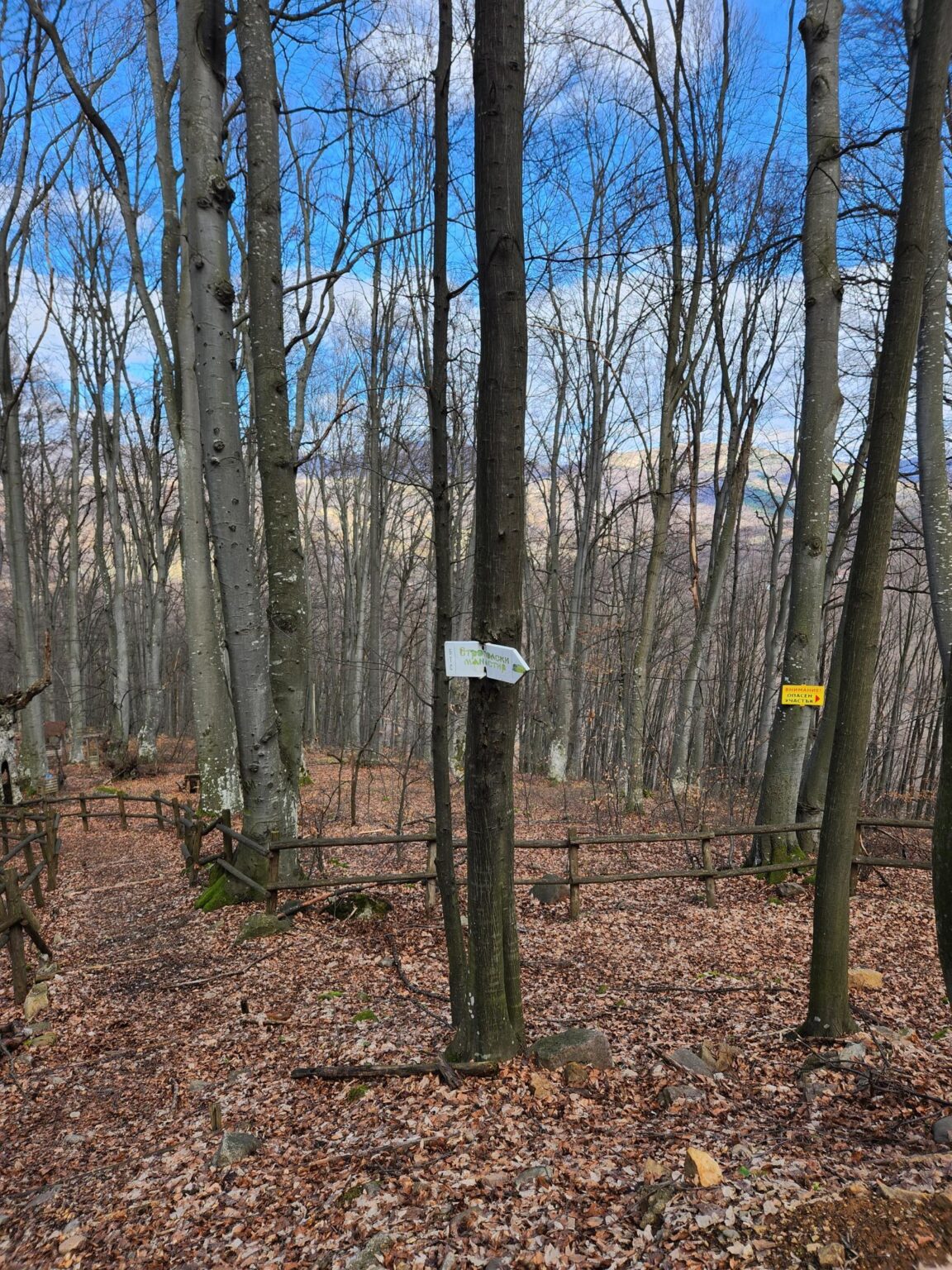
| Waymarking | white-green-white; near the end a white-black-white trail also appears, most likely towards the Gradoman quarter |
| Side trip | Raylovo Gradishte peak and Panorama Rock, about 5 min from the fork |
| Format | half a day; the ridge at the top is ideal for a picnic |
| Entry | free, open access |
The Start of the Trail
Information online is scarce, and nearly all of it is copied from the same original source. This description shows up in several places:
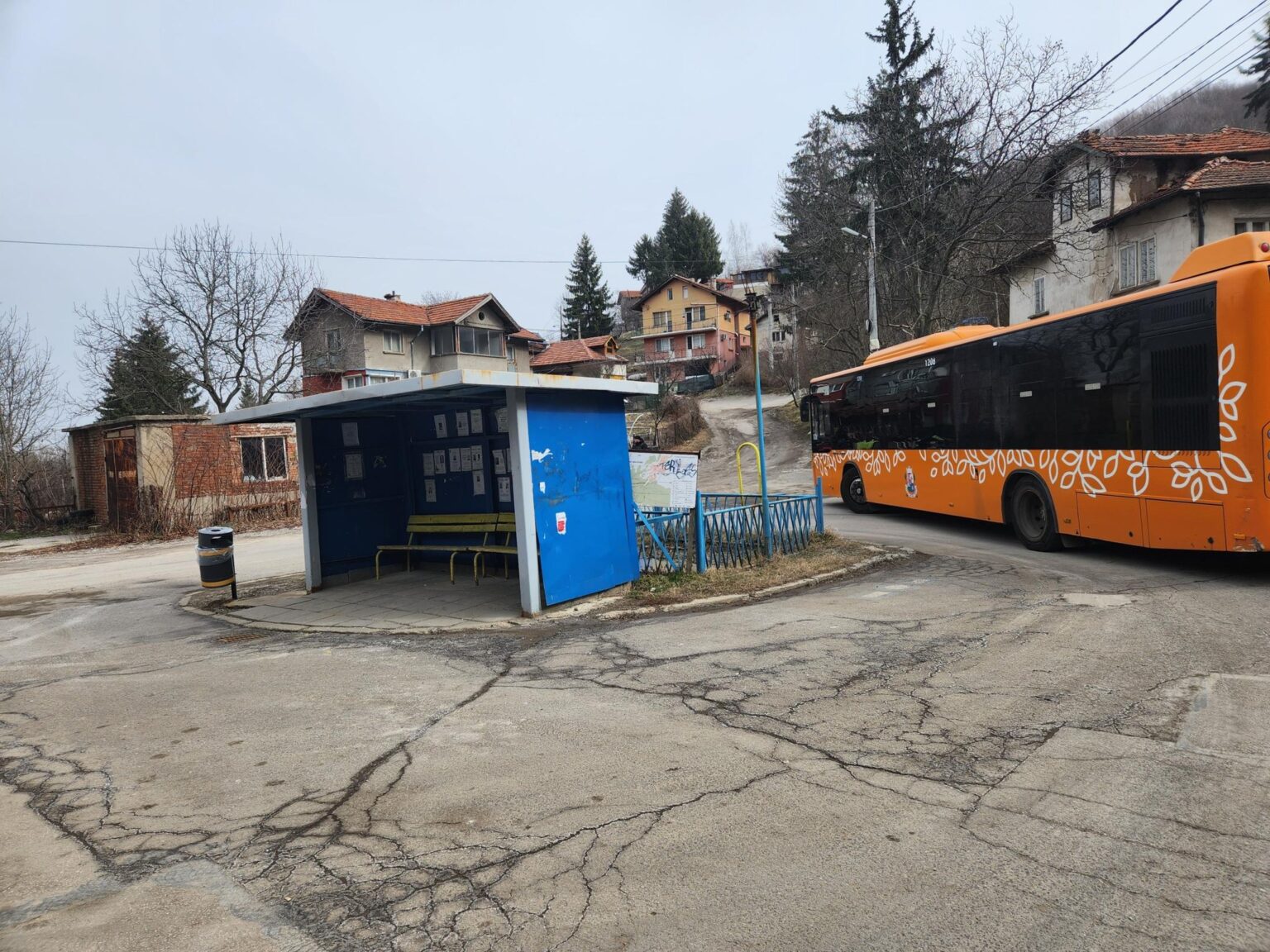
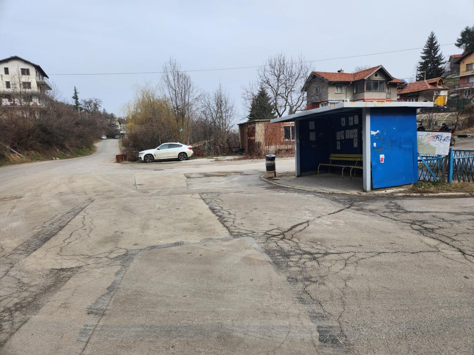
Its starting point is the town of Bankya, Mihaylovo quarter. You set off from the last local bus stop and walk along the left bank of the Mihaylovska River. After about 200 metres the trail crosses the river and runs parallel to it.
That’s rather confusing. The Google Maps link below shows the start point more clearly, next to a visual of it:
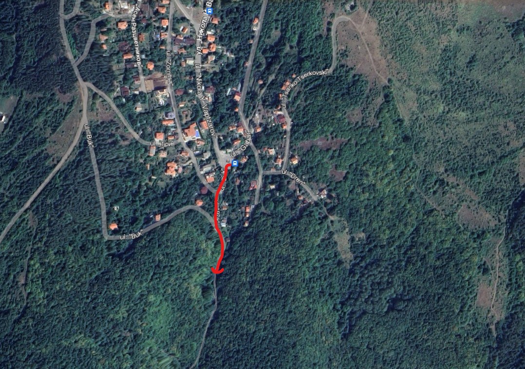
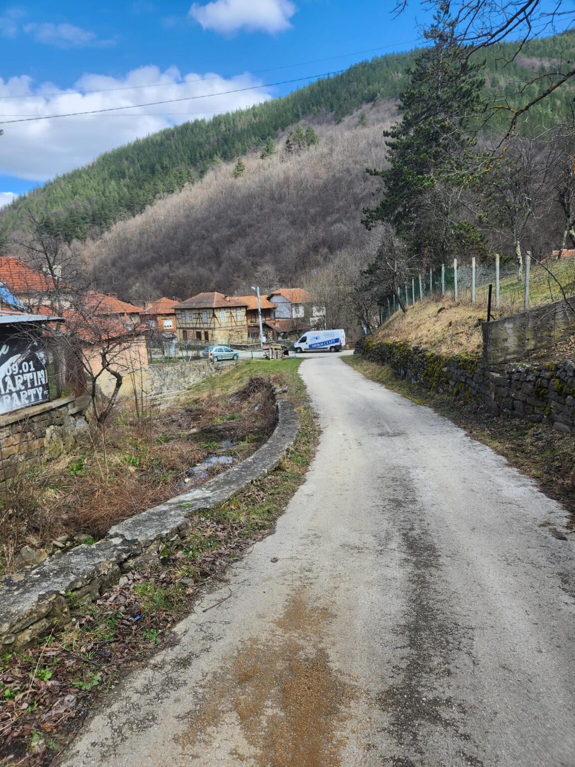
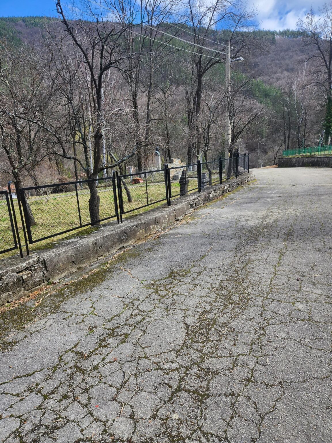
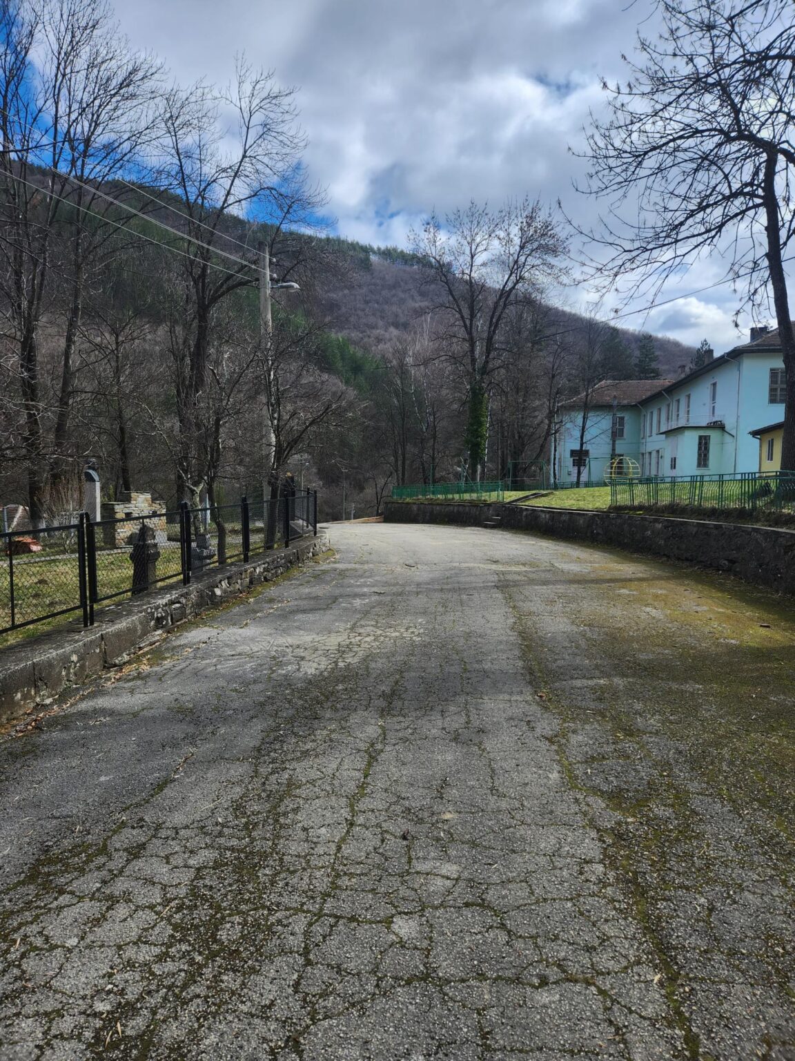
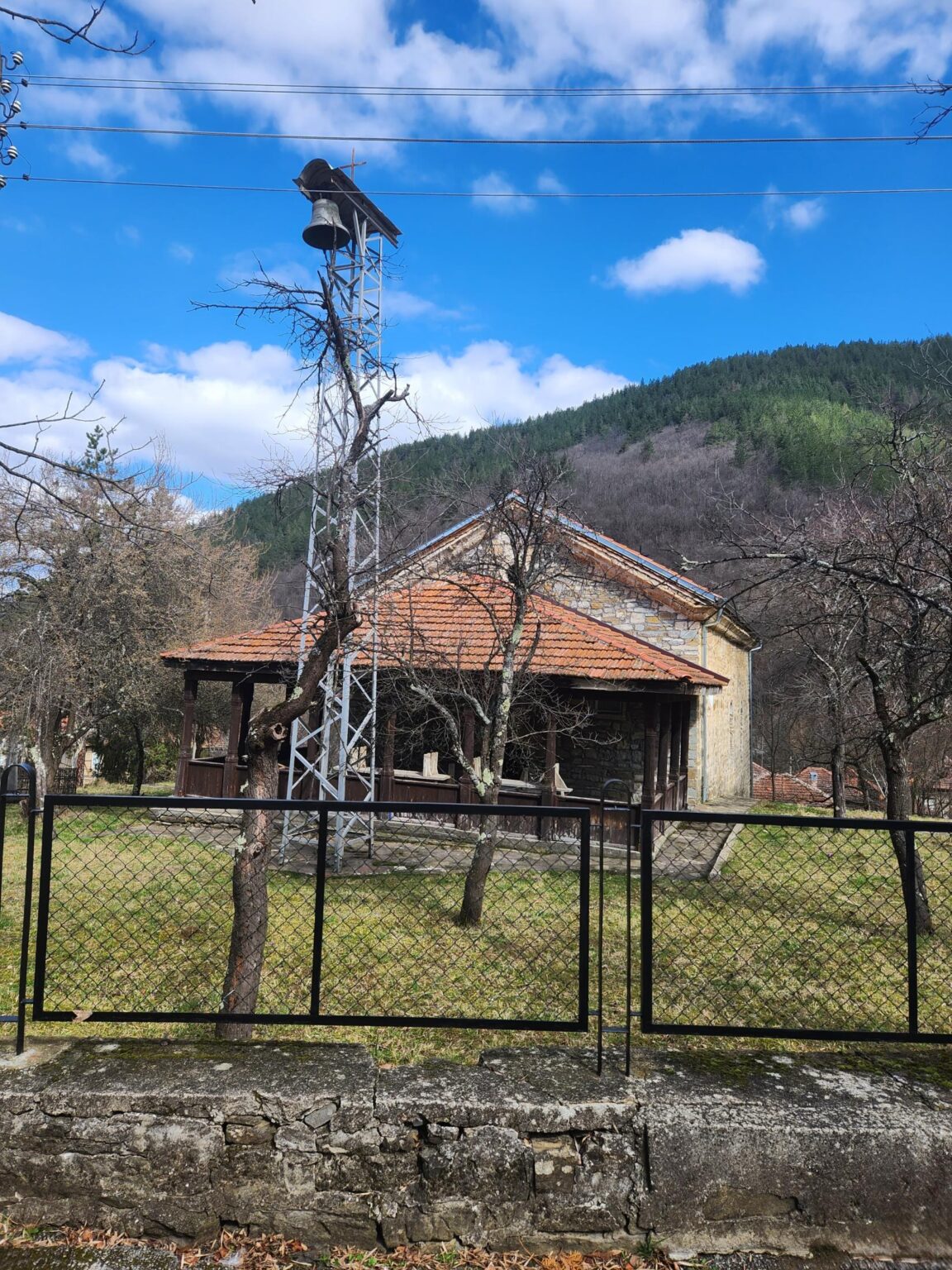
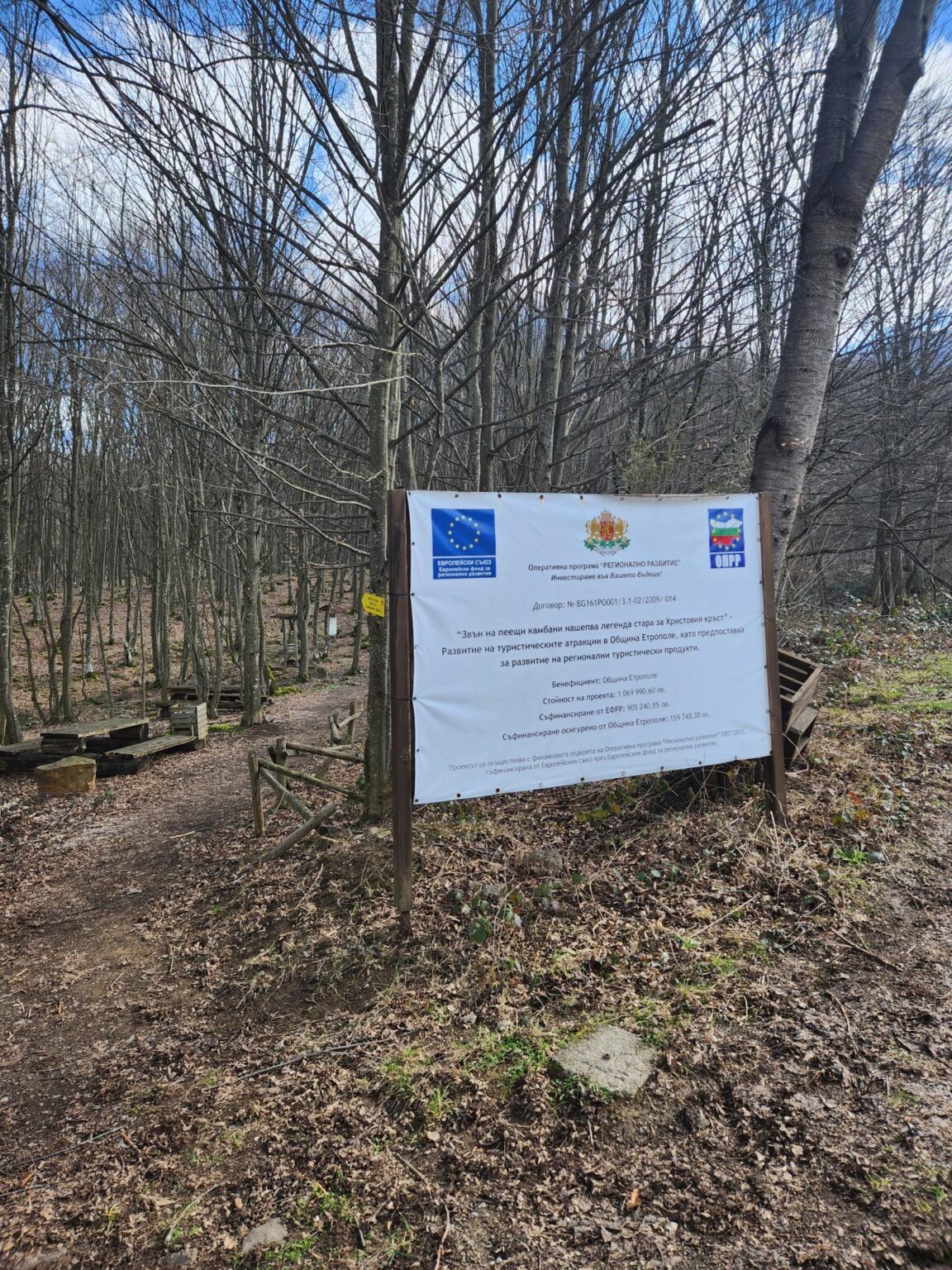
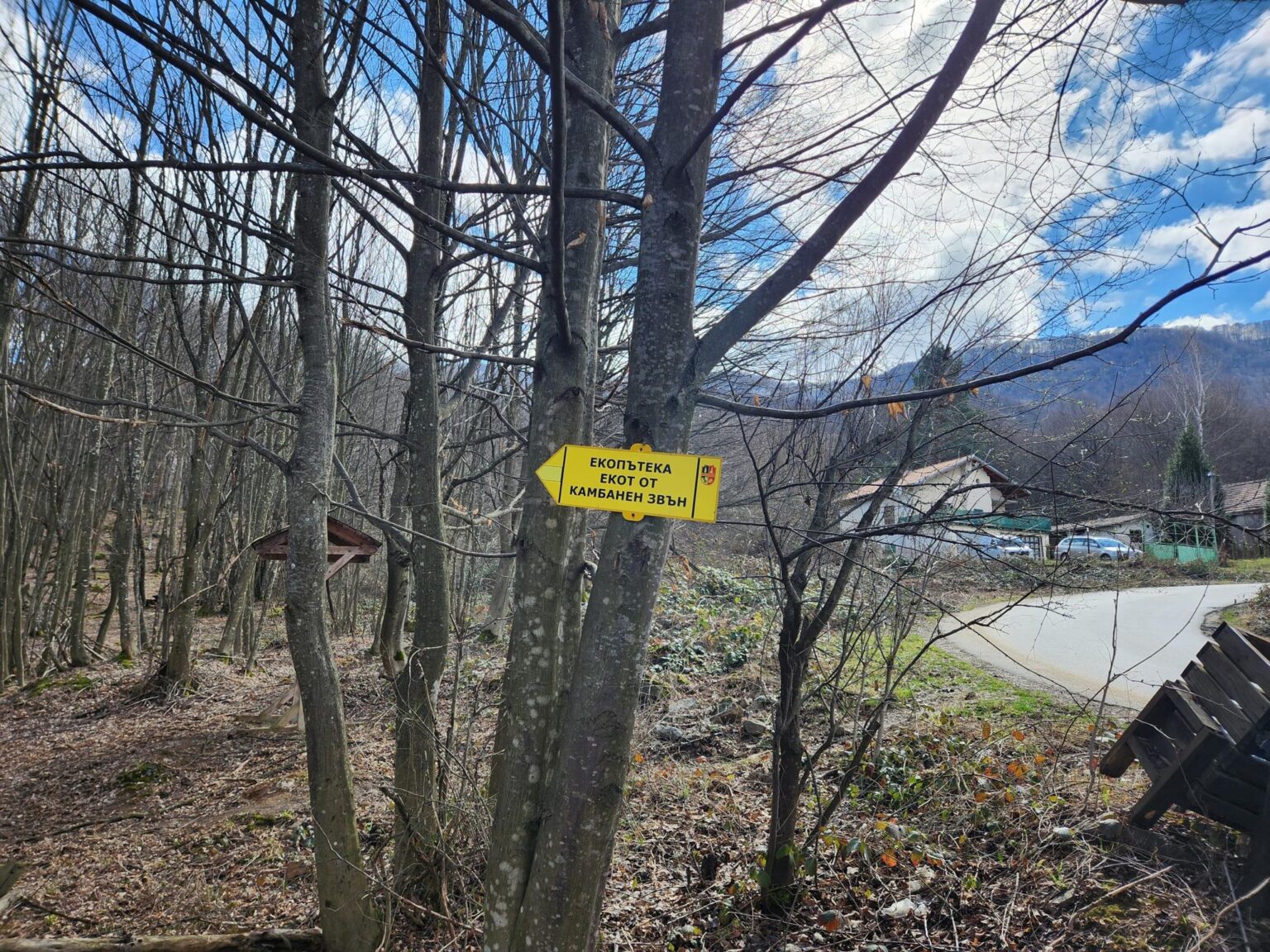
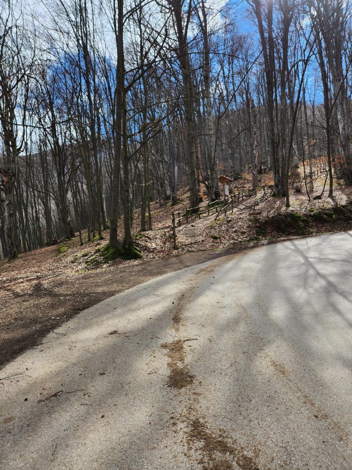
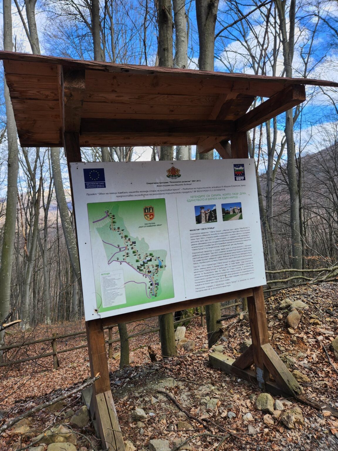
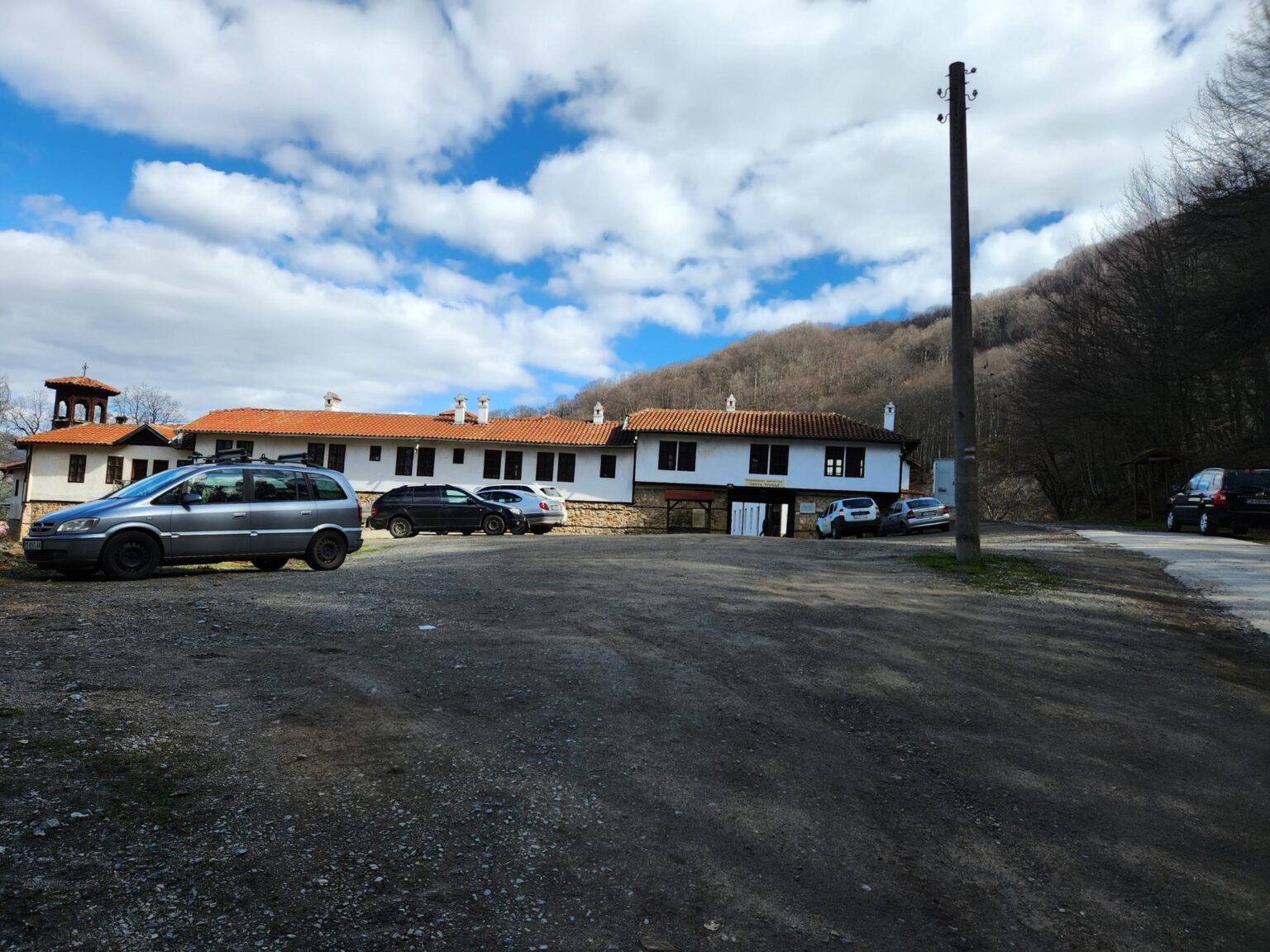
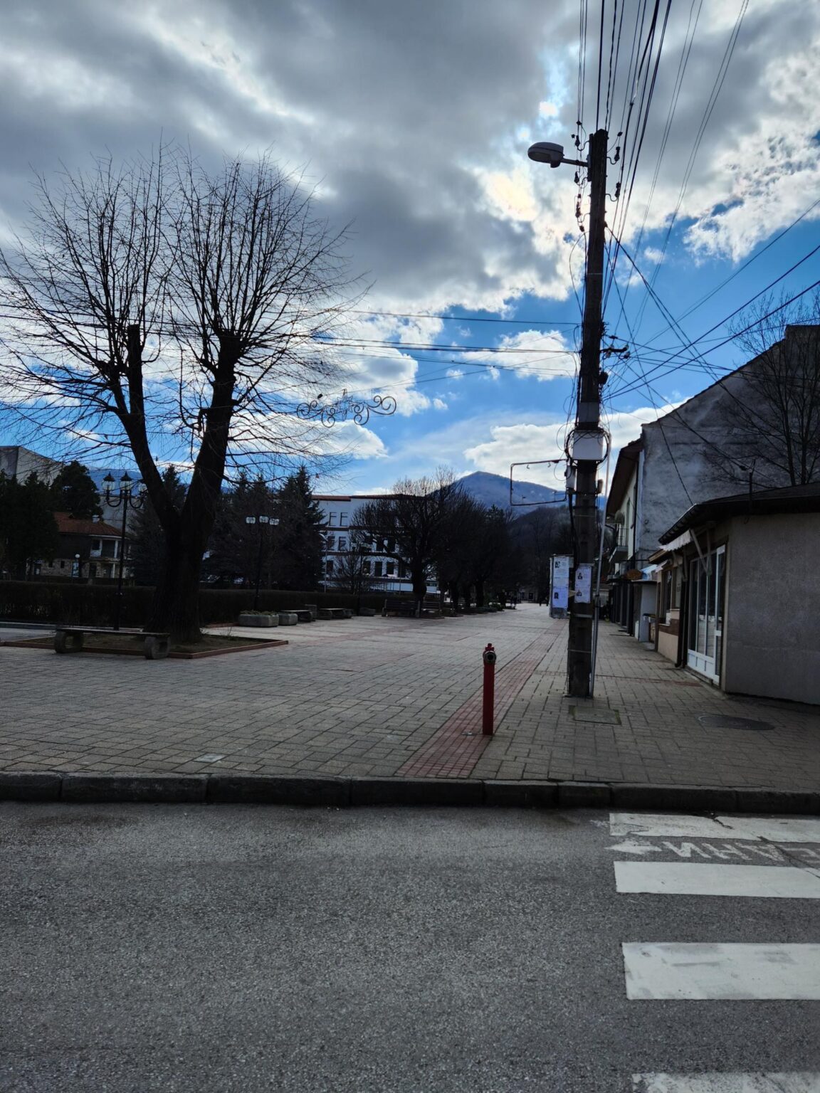
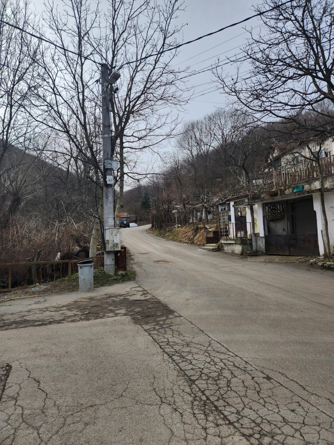
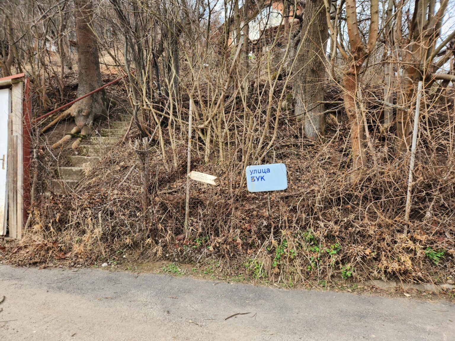
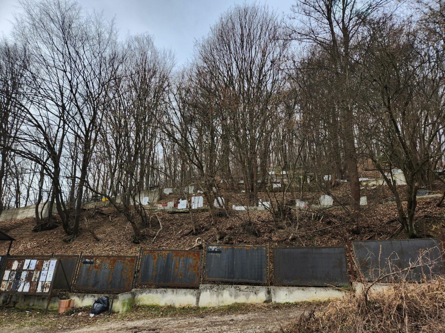
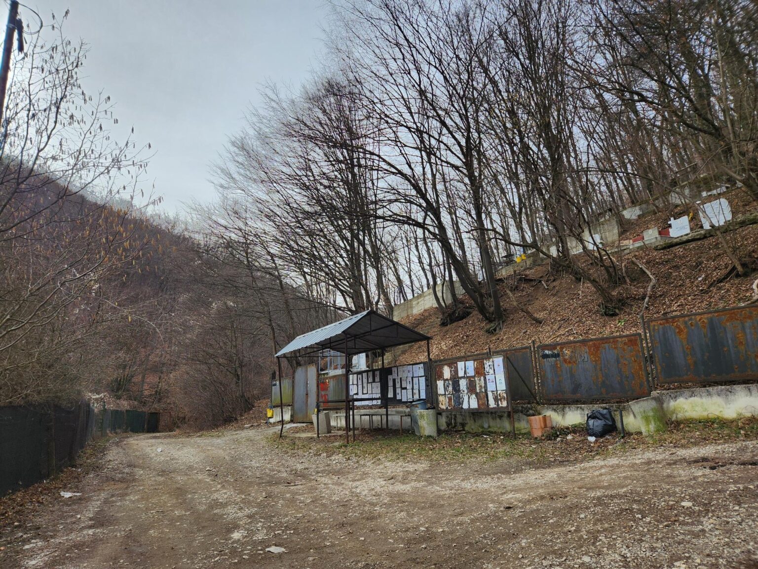
Put another way: if you’re driving, park somewhere near the bus stop. Walk towards the edge of the town and look for Buk Street and the cemetery. Past them you’ll spot a small sign reading “Esperanto Health Path.” That’s where the trail begins:
While we’re on the subject of online information, here’s another paragraph that gets repeated a lot:
Elevation gain: 150–200 metres. Suitable for people of all ages. Easy route.
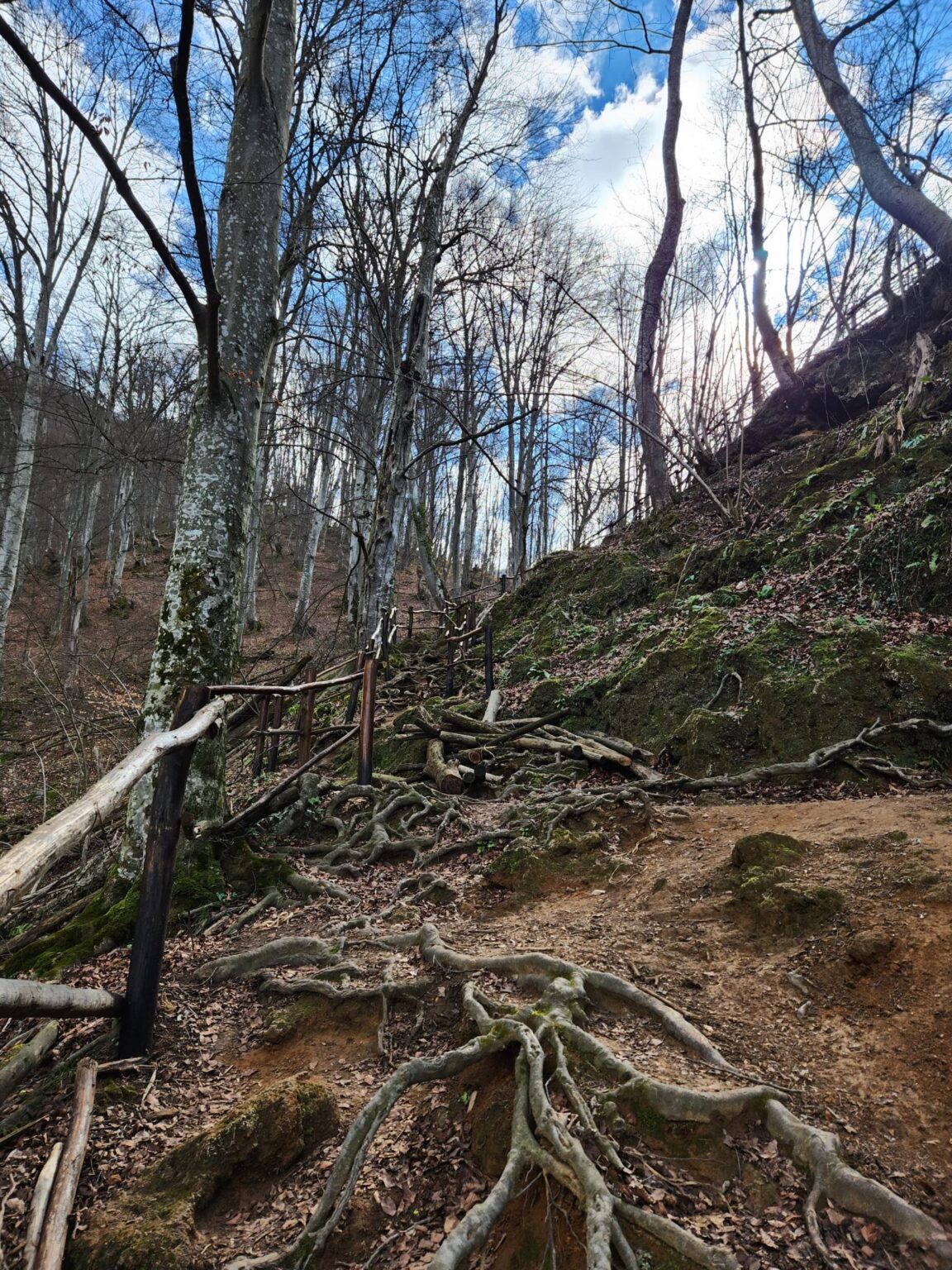
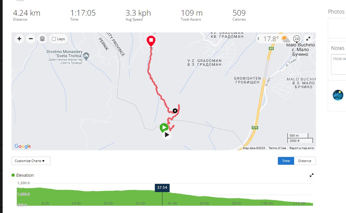
That isn’t true. About 90% of the trail is uphill, which puts it in the intermediate category. The path levels out in only a handful of places. On the way back I tracked the route with my watch. The total elevation gain is around 330–340 metres to a fairly high point. There’s no fixed end, so you can go as far as you like. Going to the highest point and back takes around 3 hours, depending on your breaks, and even that is an optimistic estimate.
Esperanto – Garmin track:
The Trail Itself
With the myths out of the way, let’s get on with the walk.
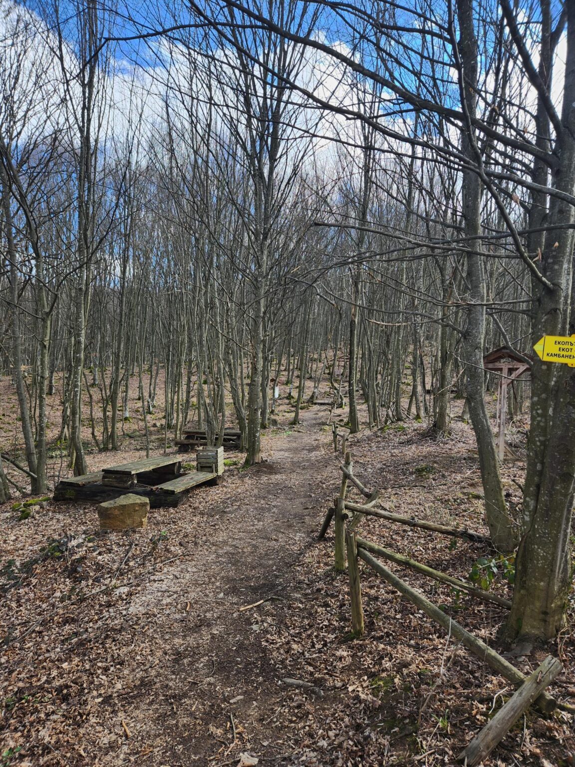
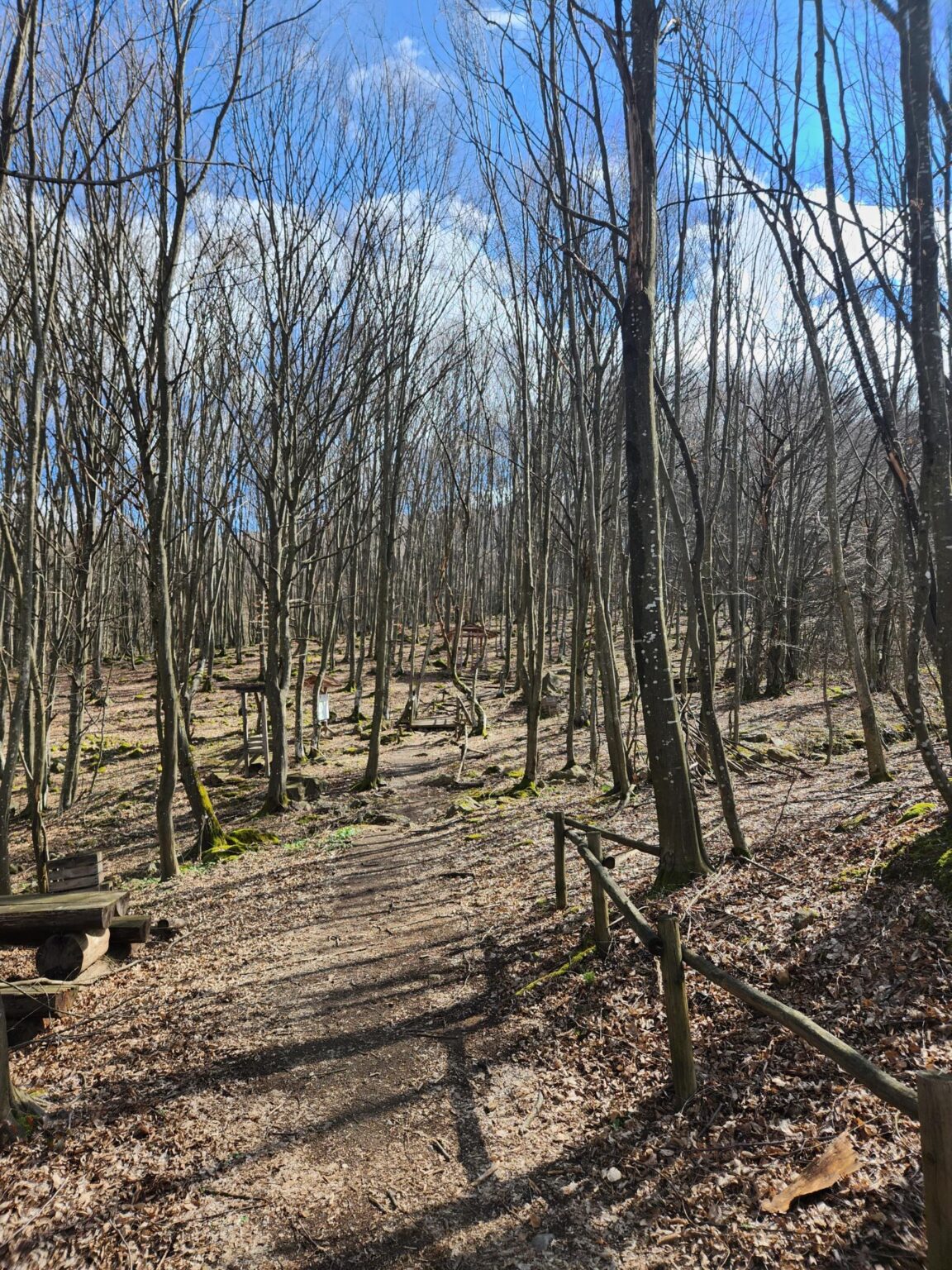
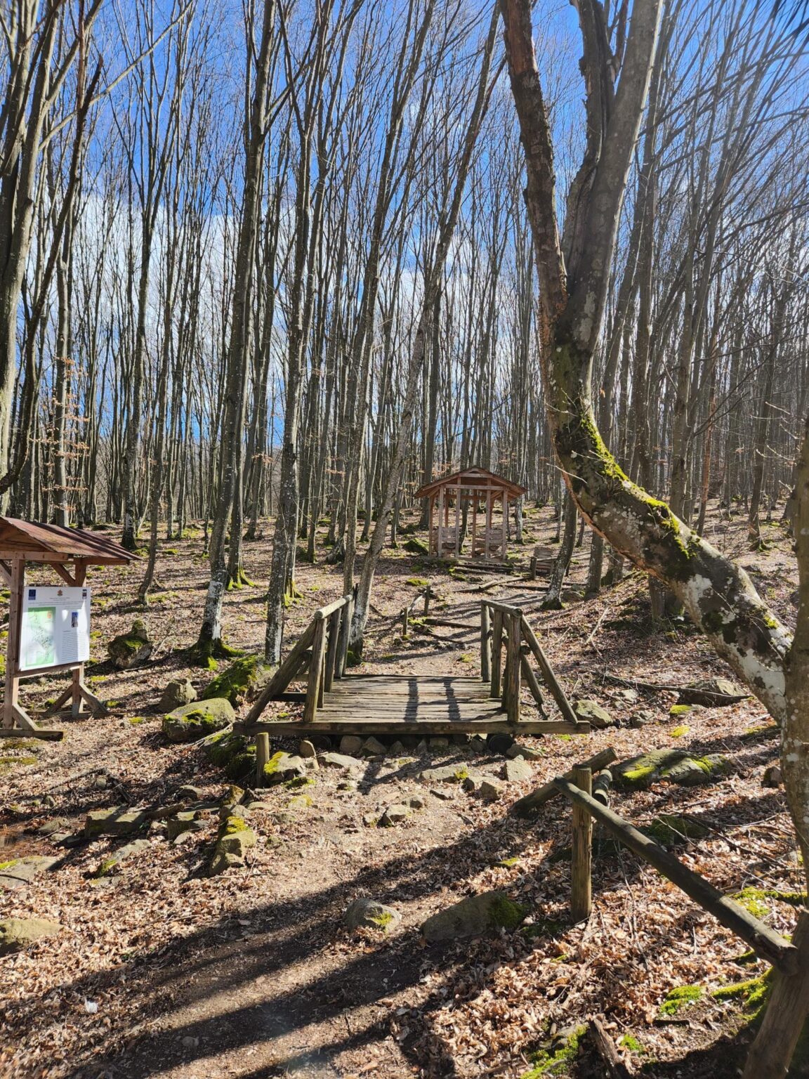
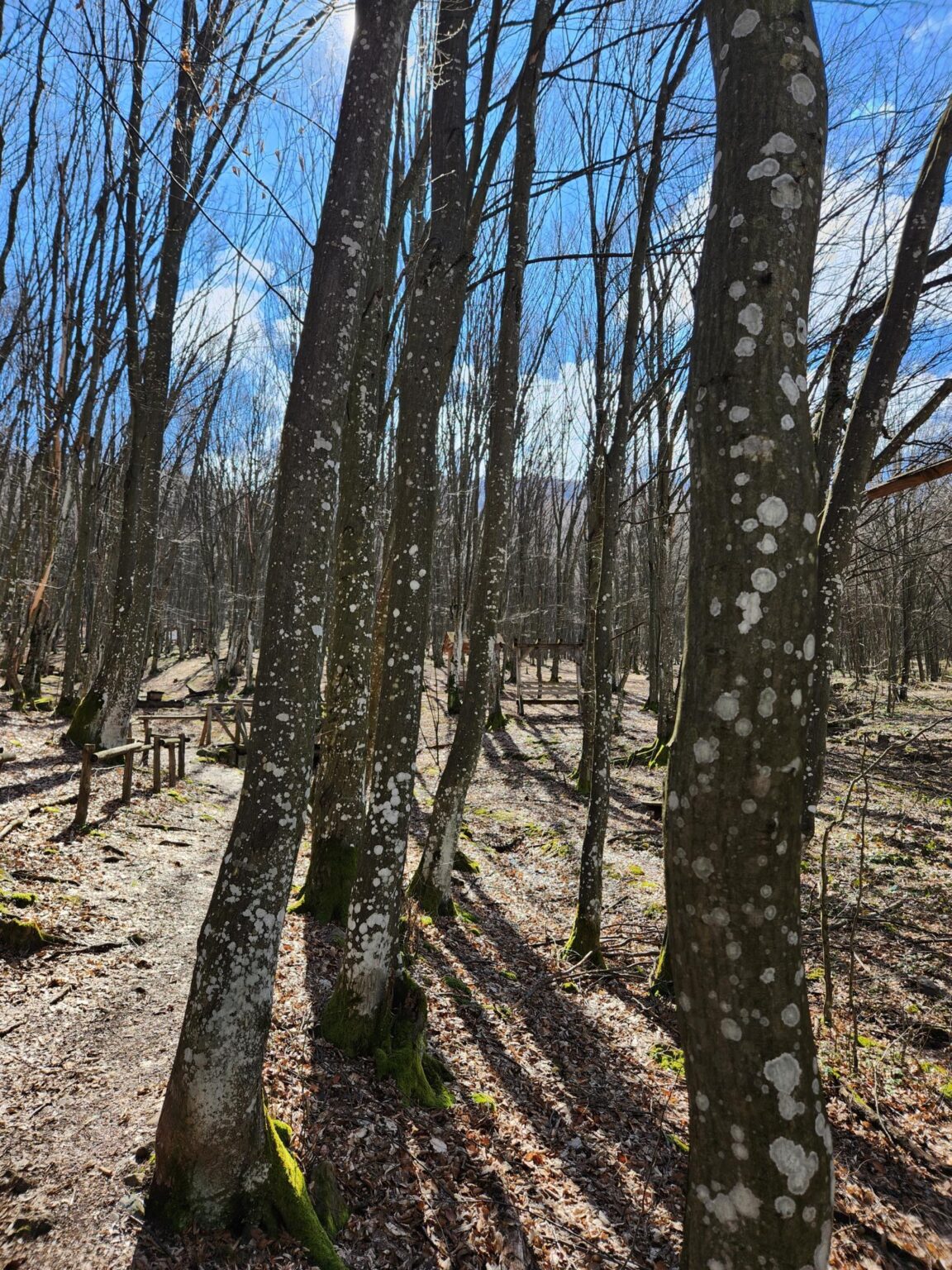
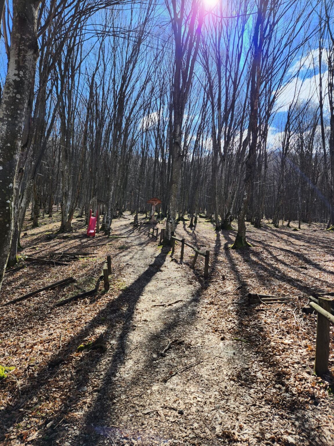
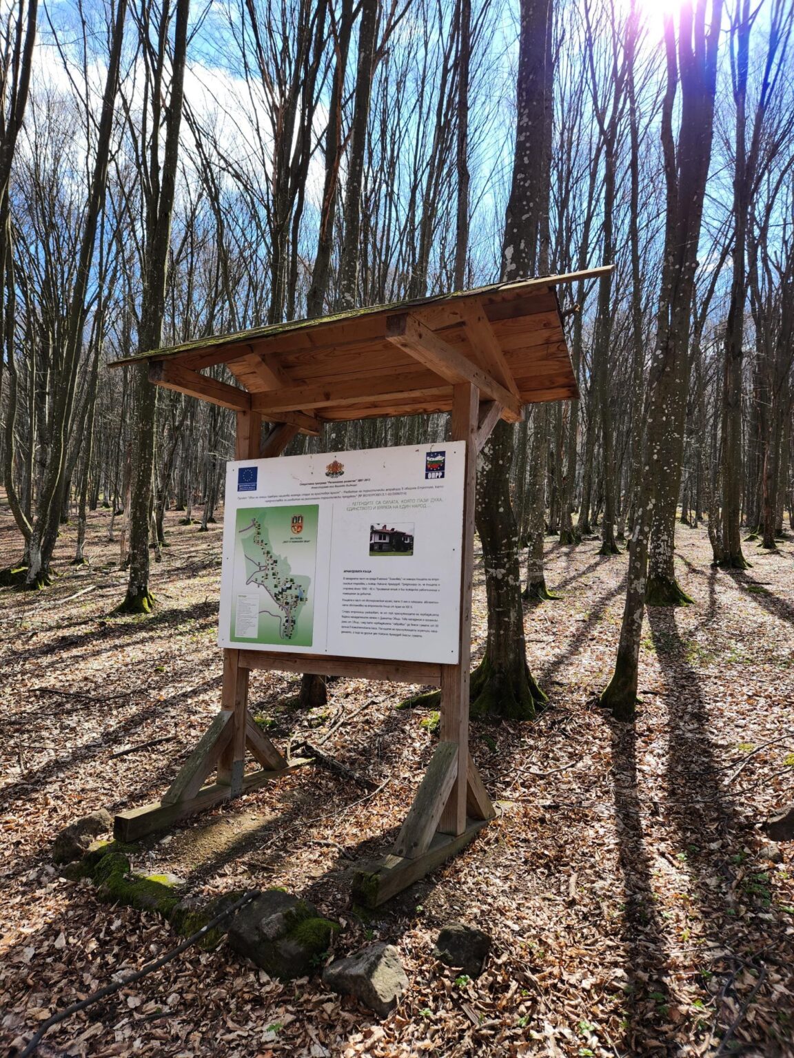
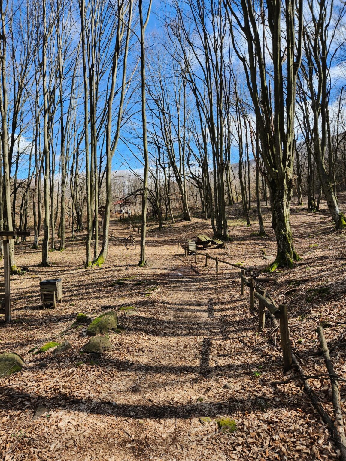
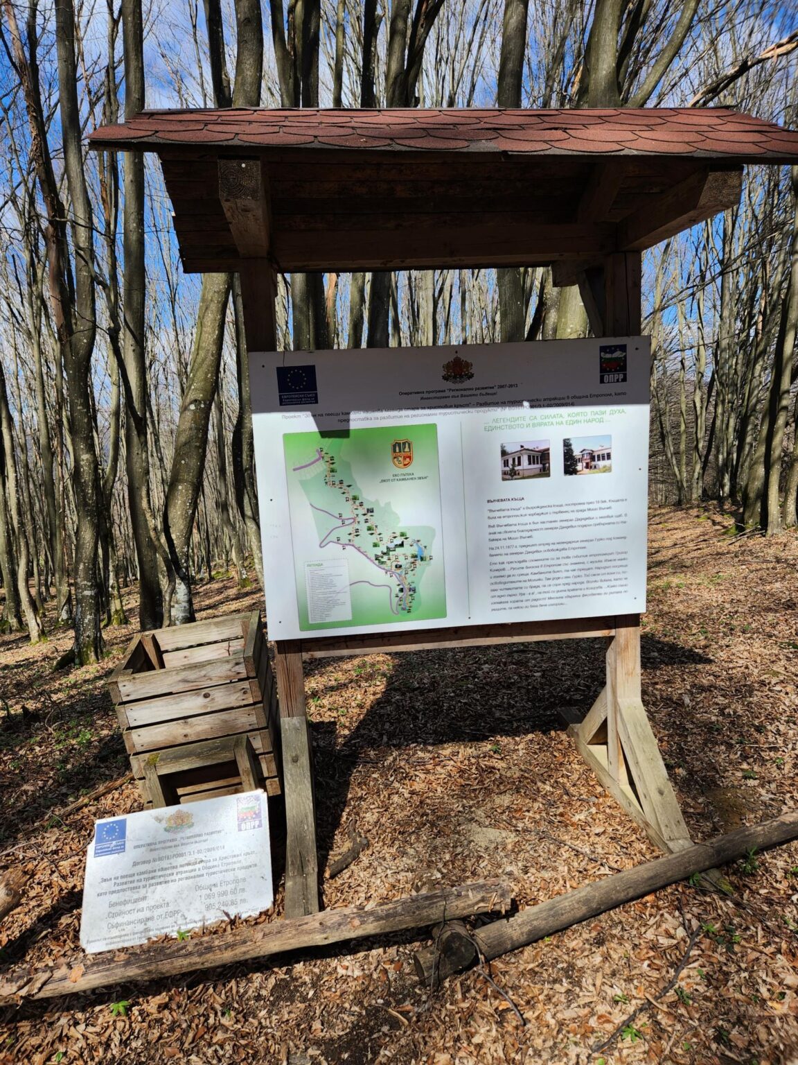
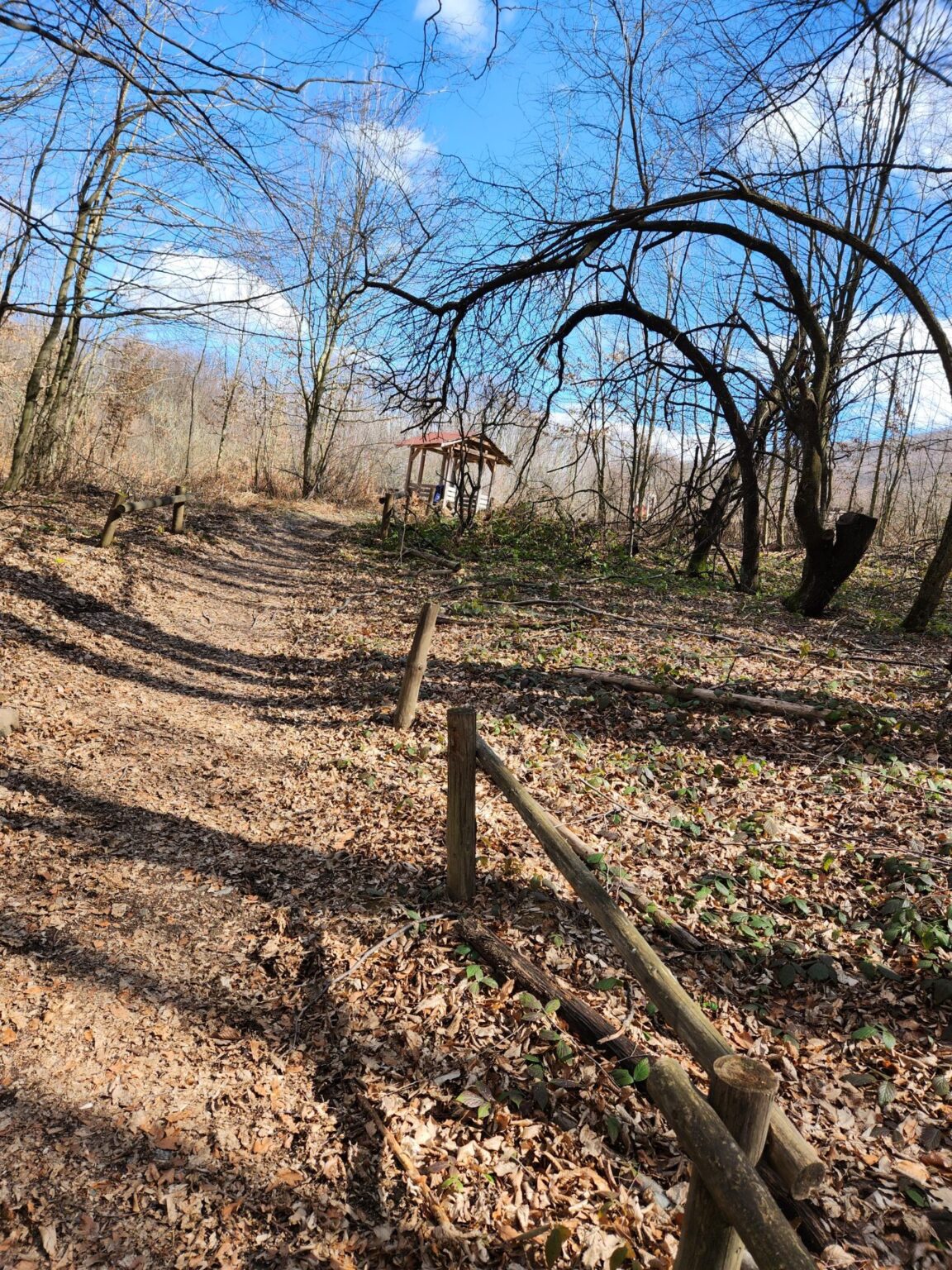
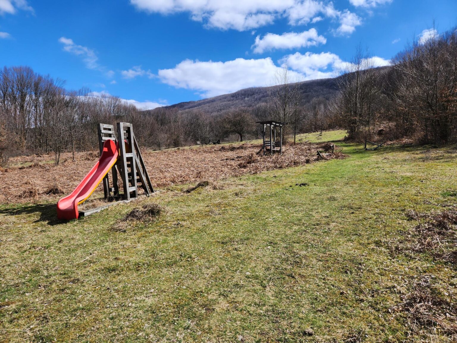
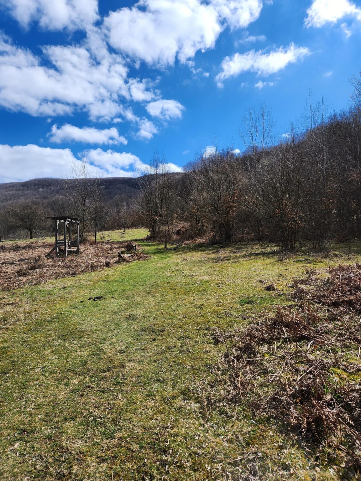
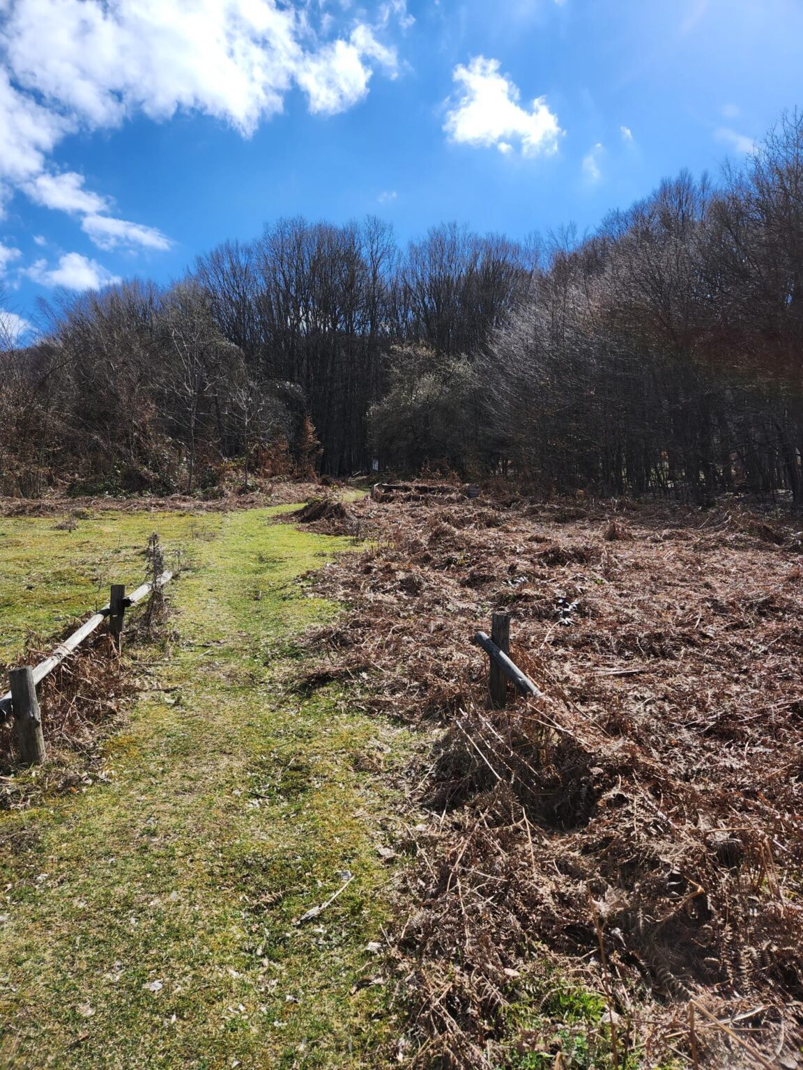
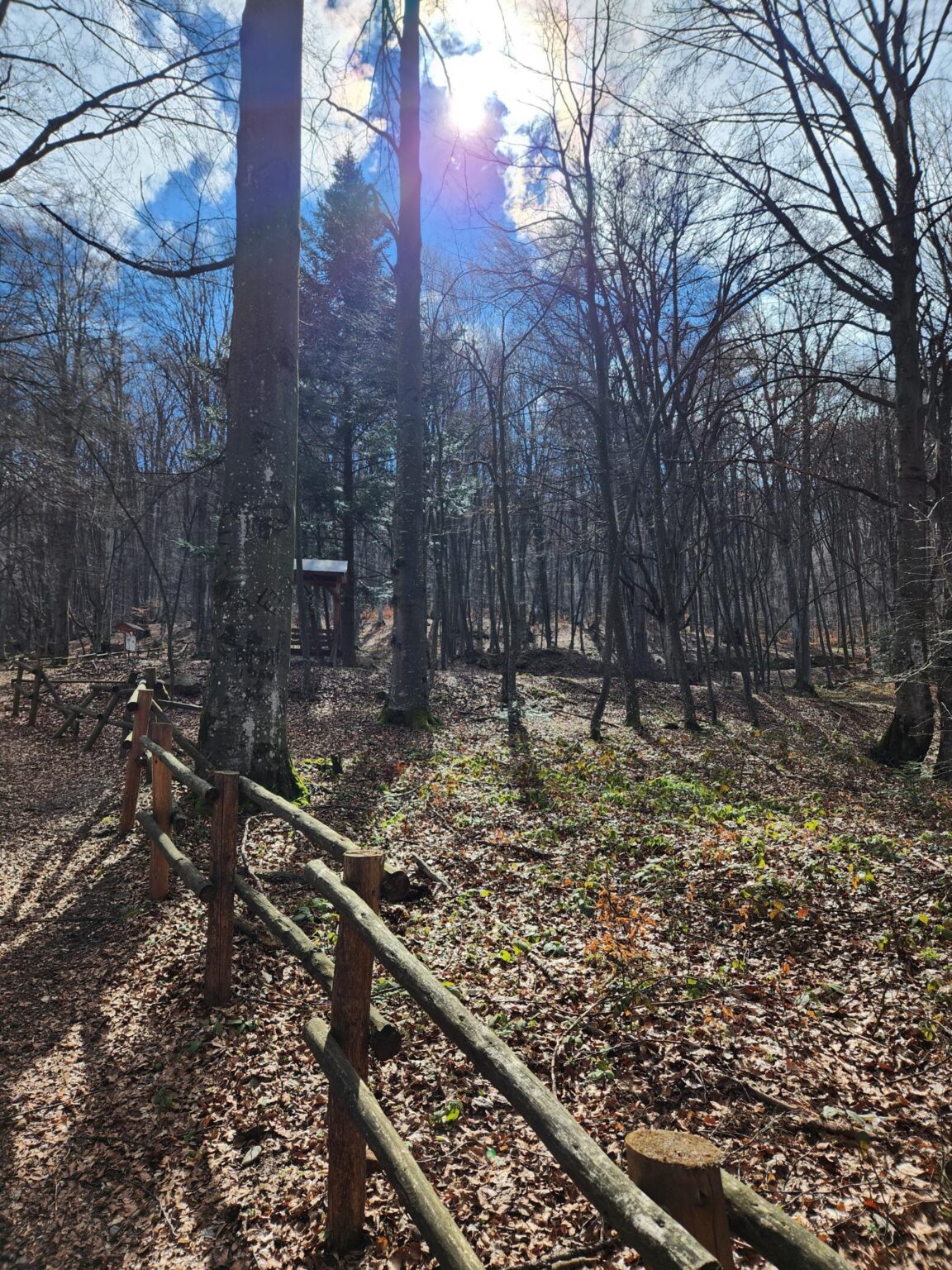
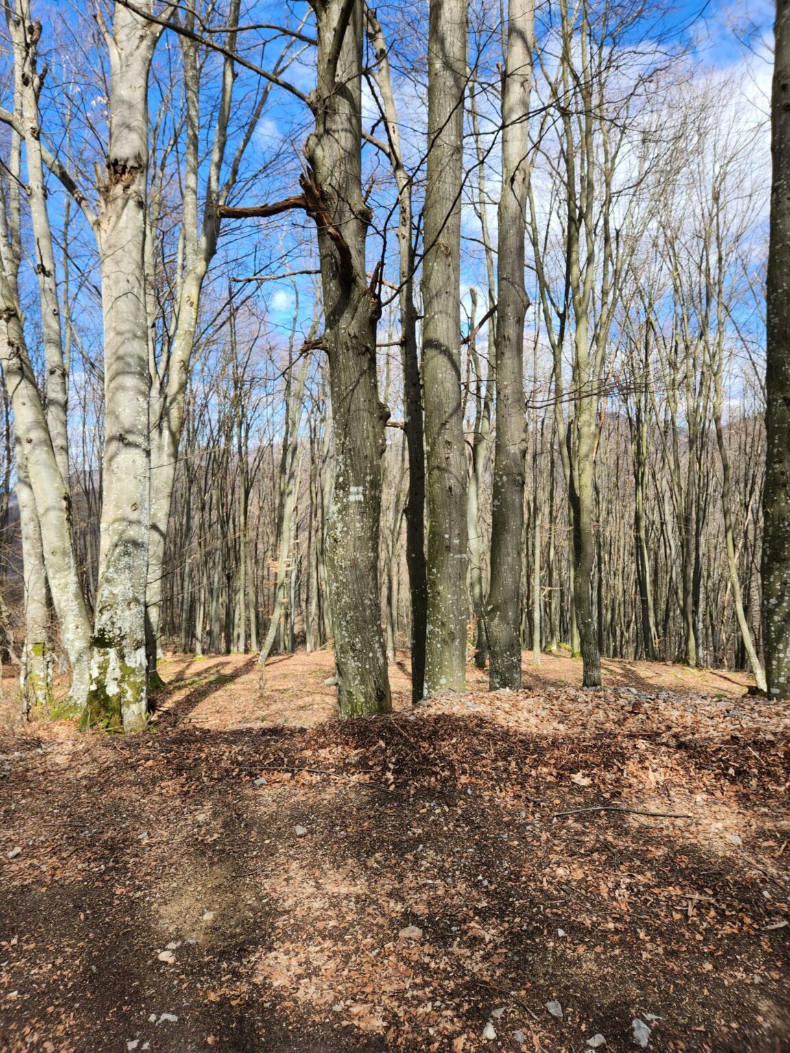
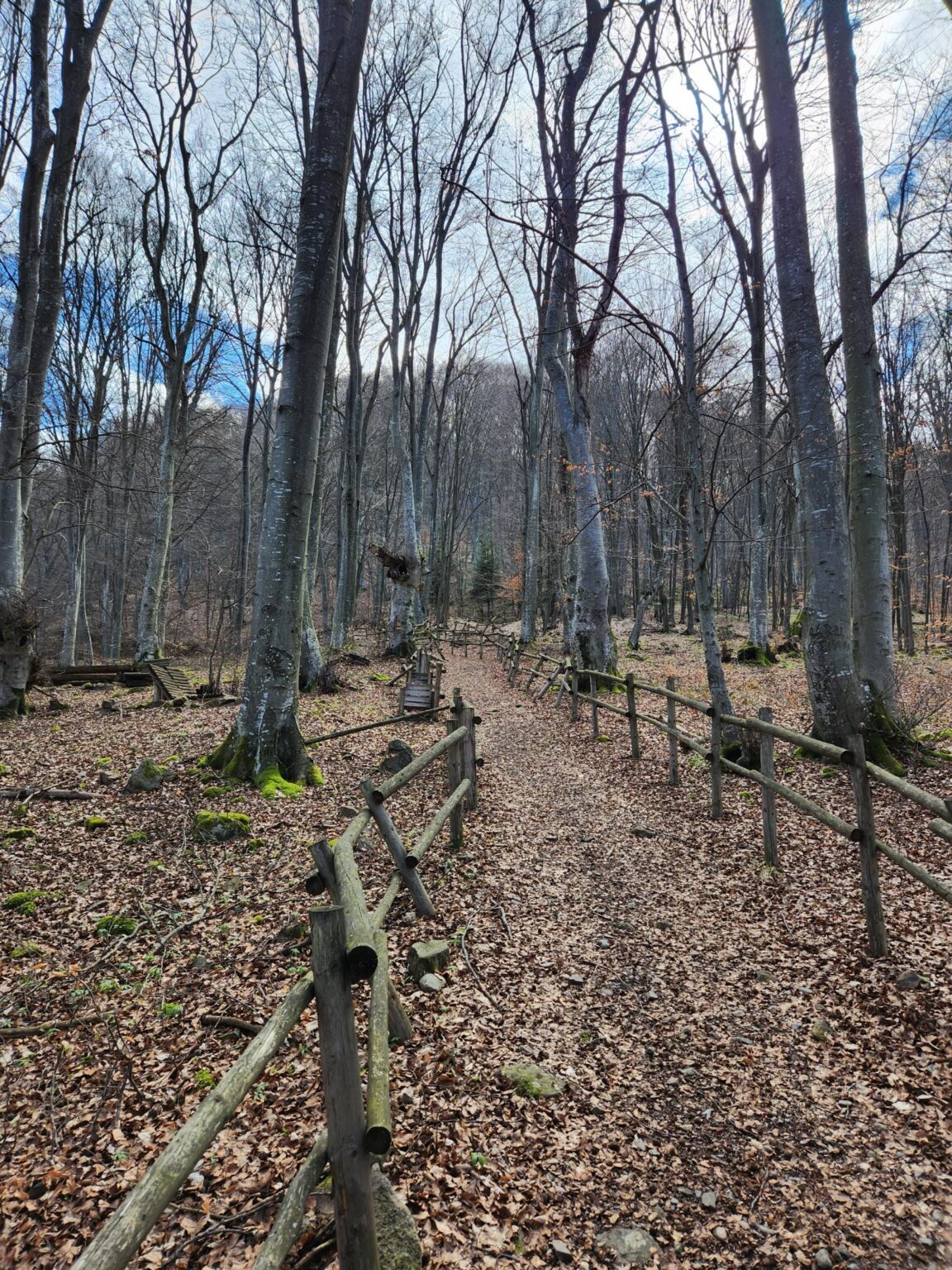
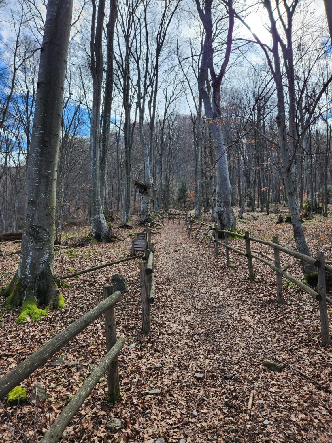
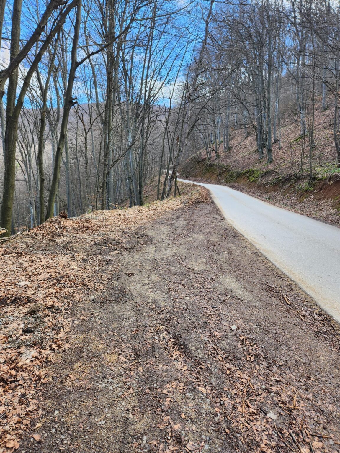
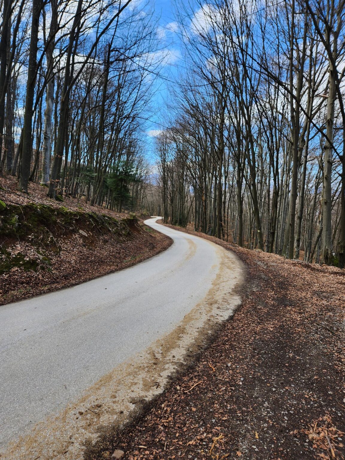
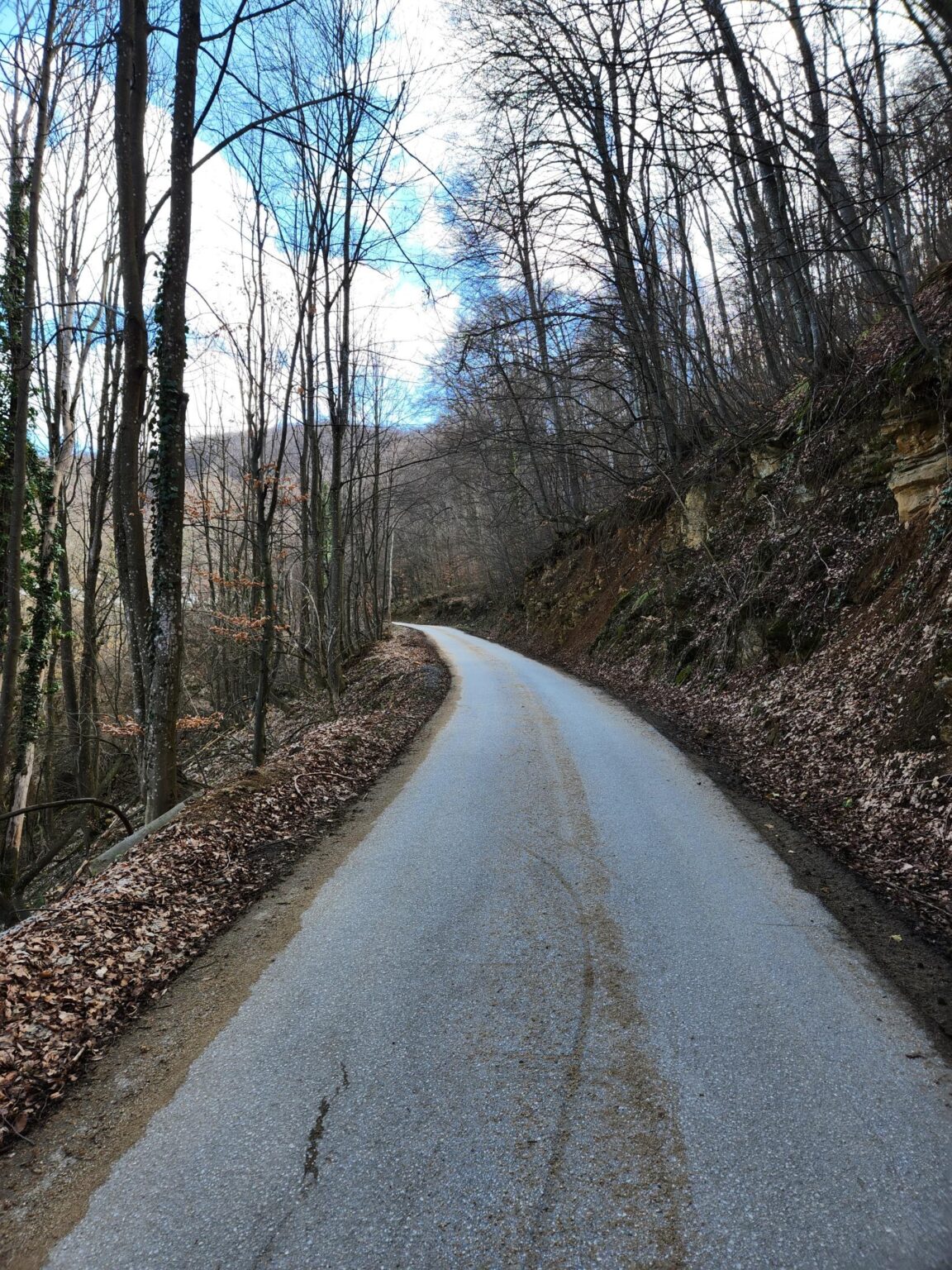
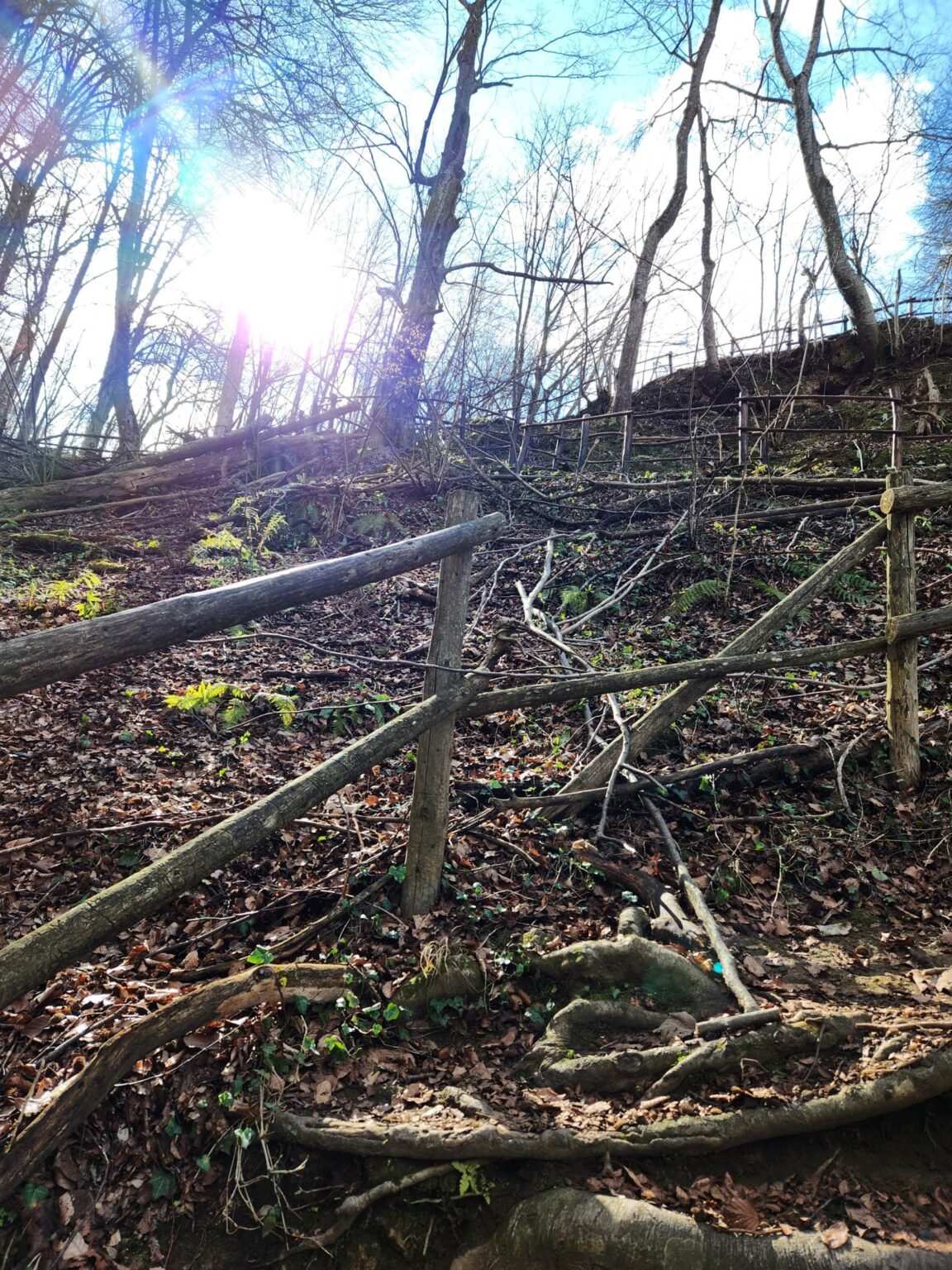
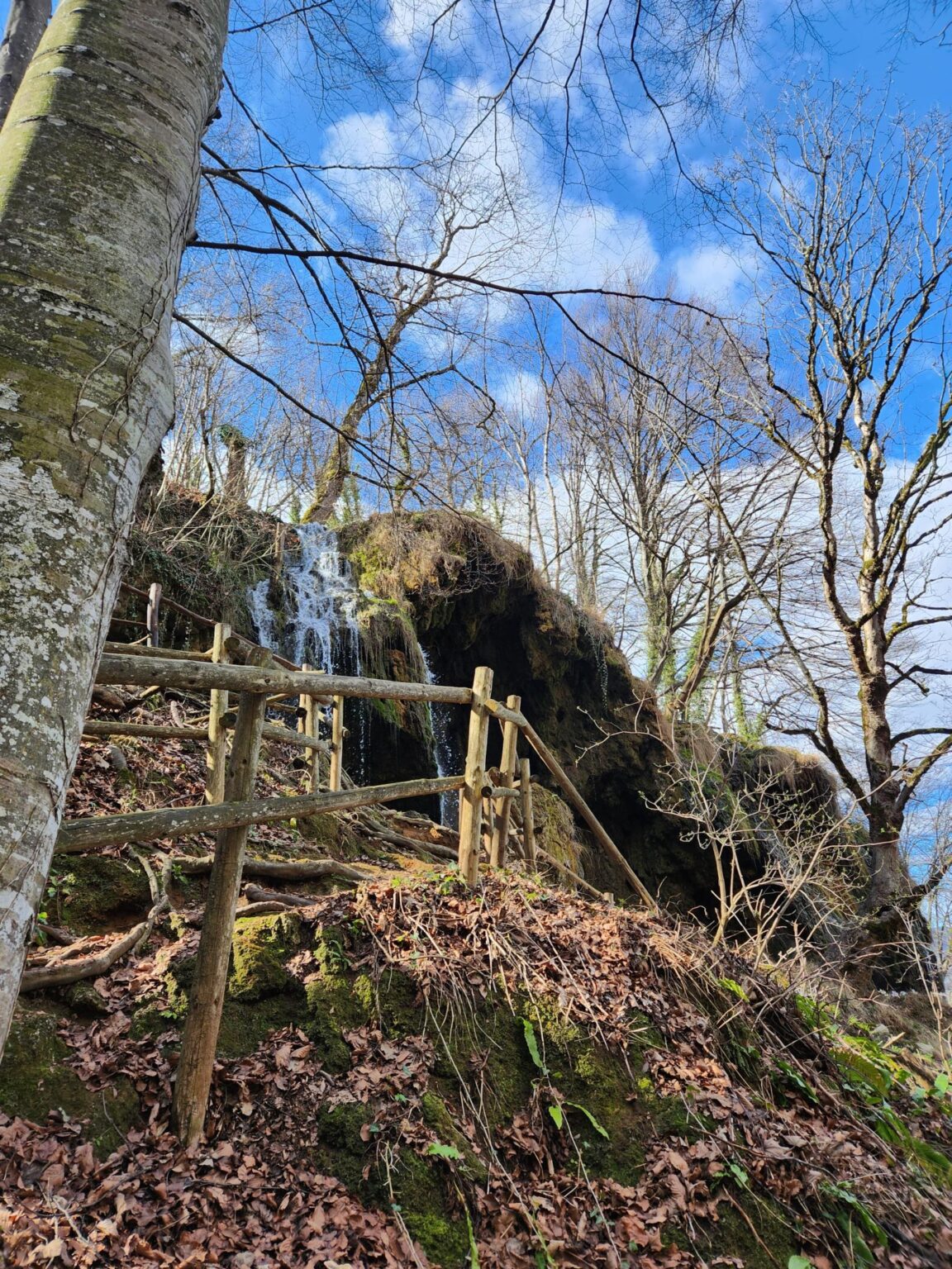
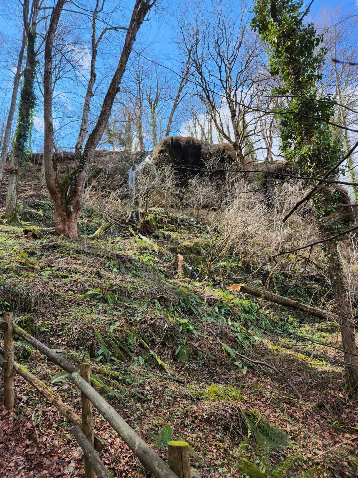
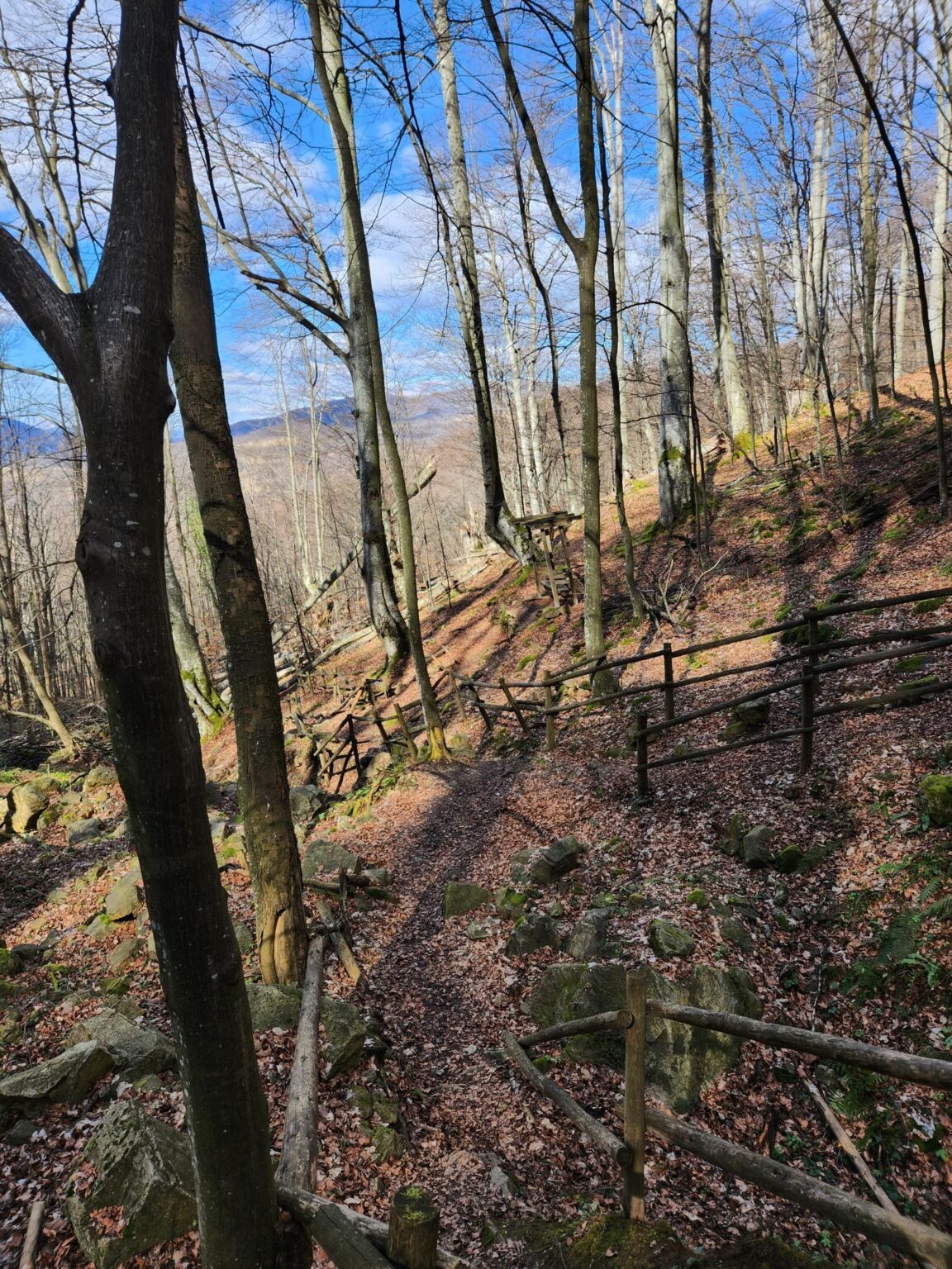
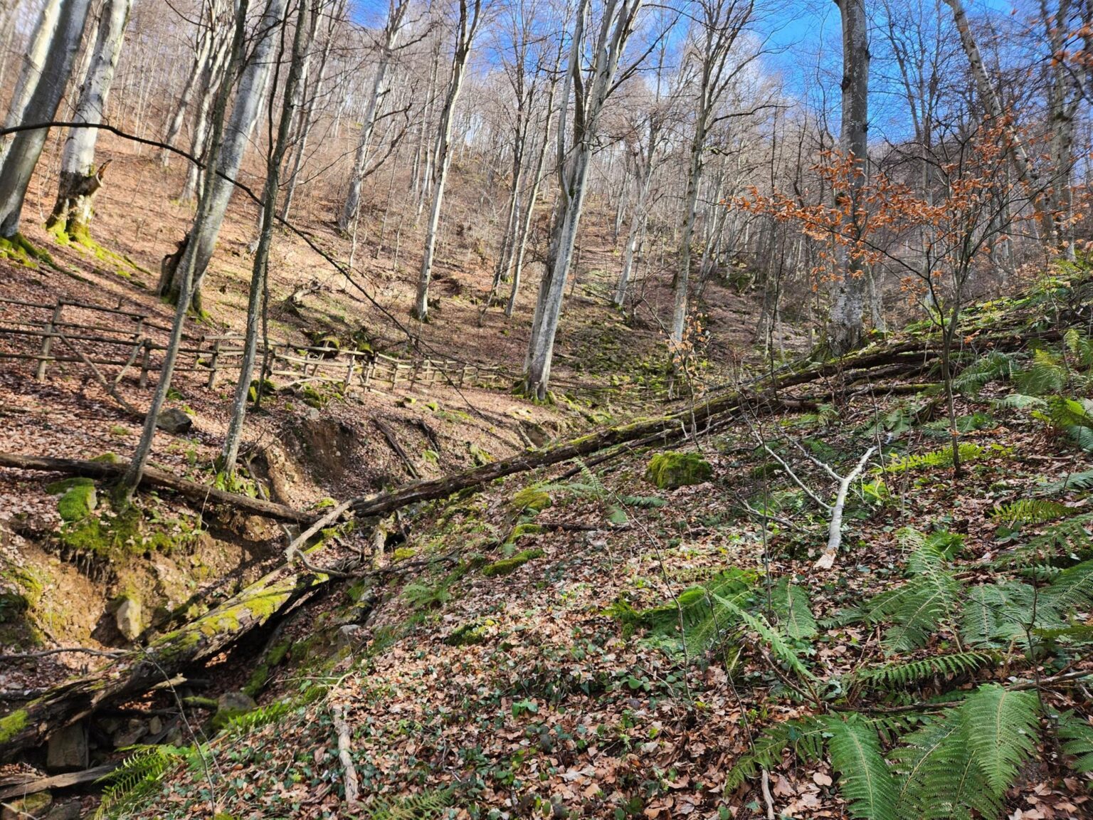
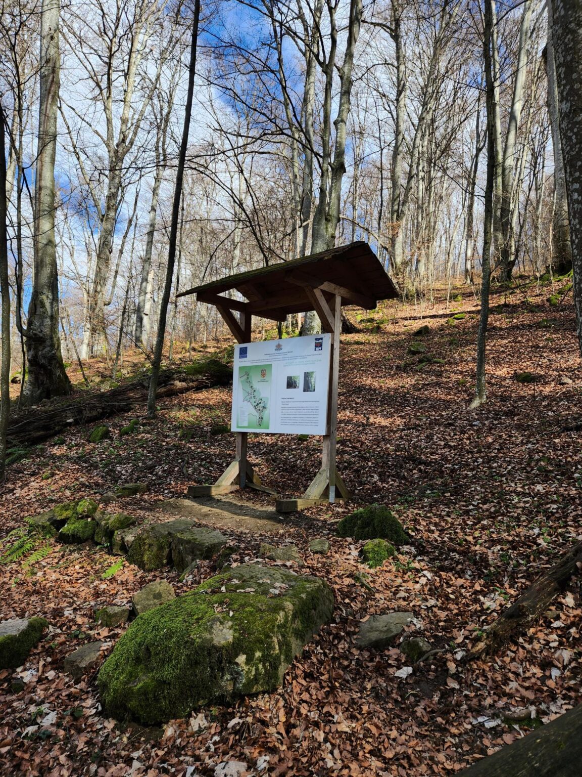
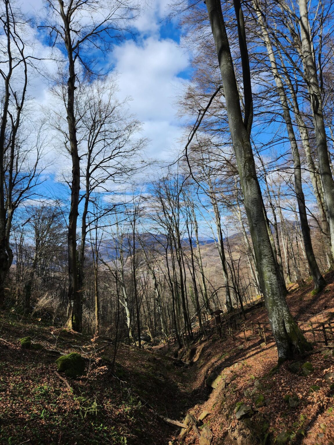
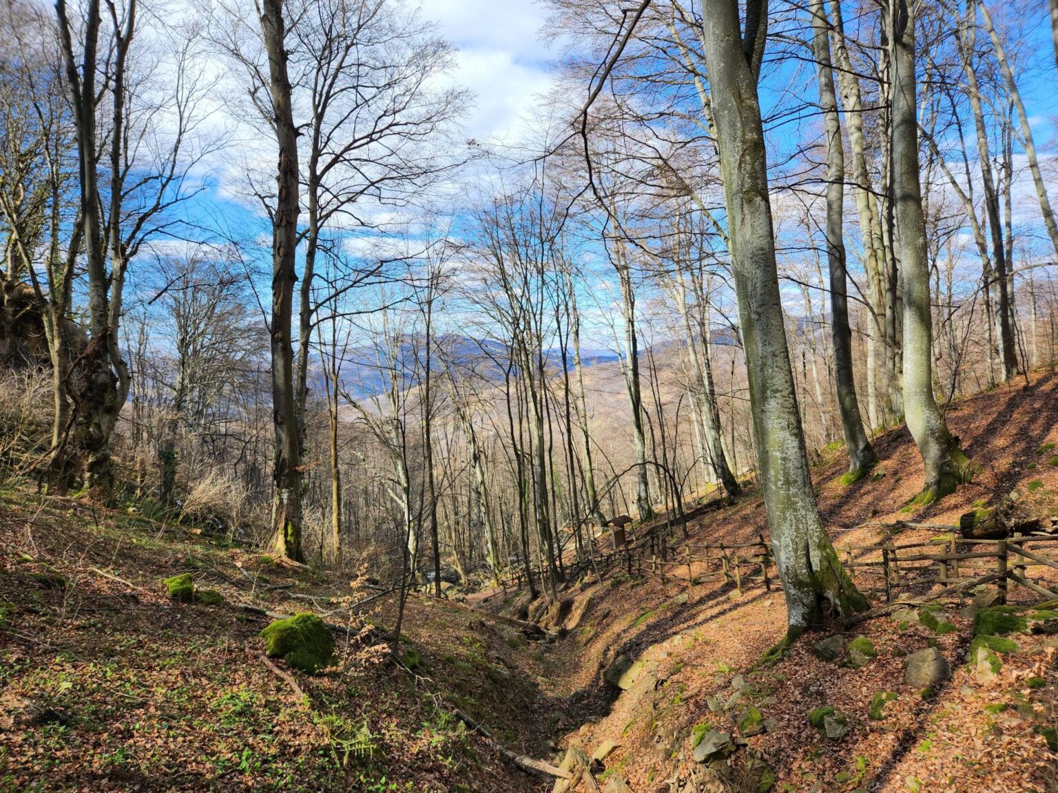
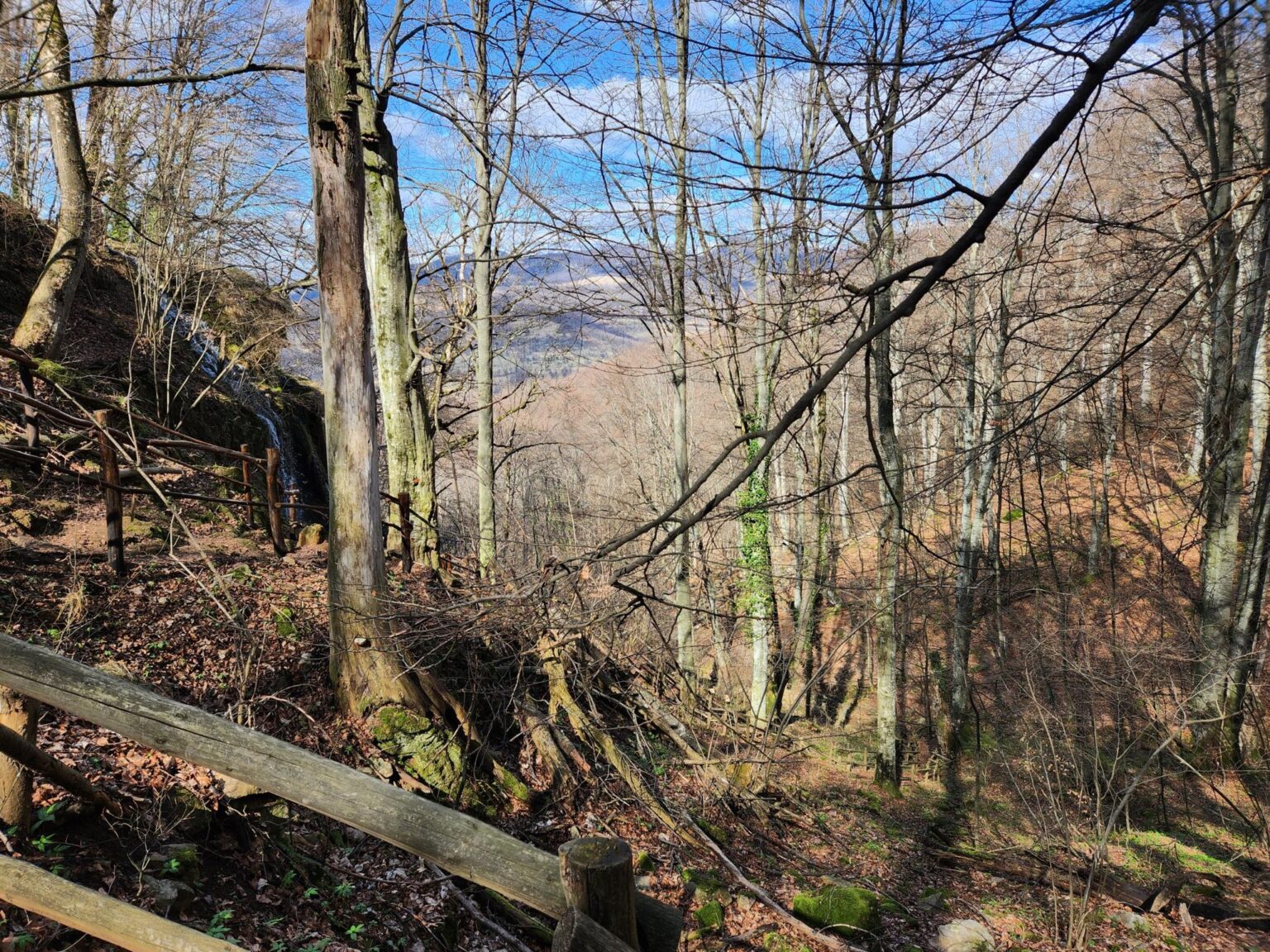
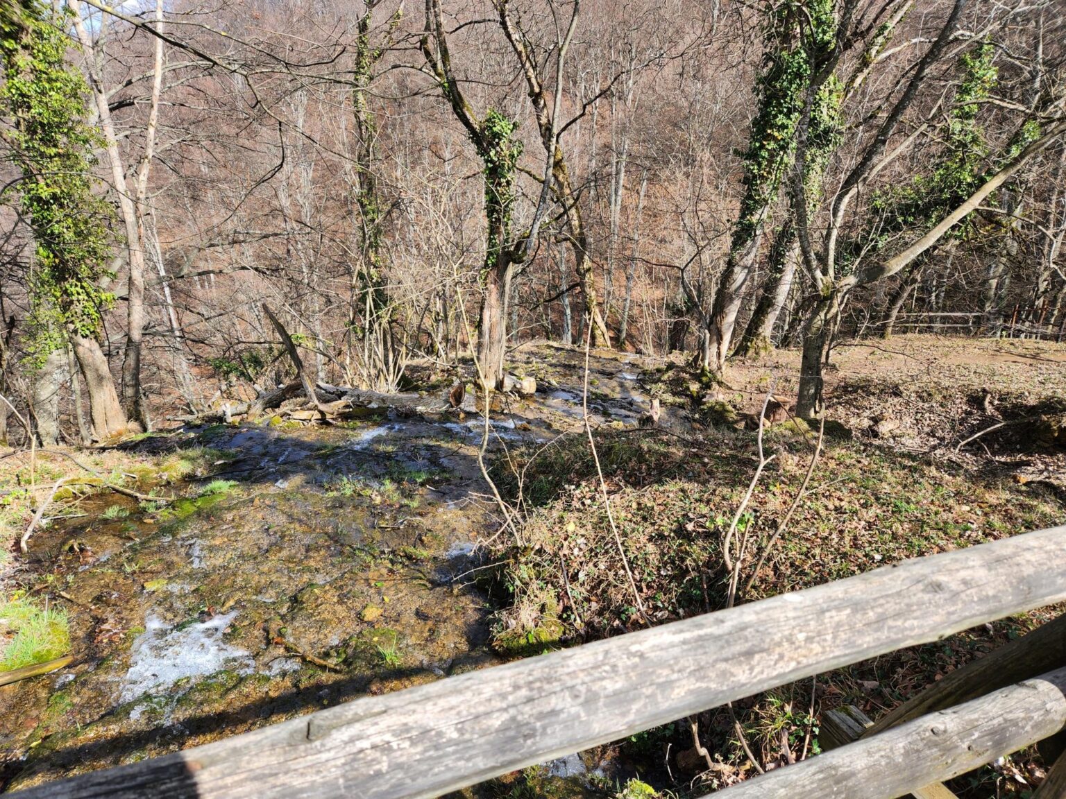
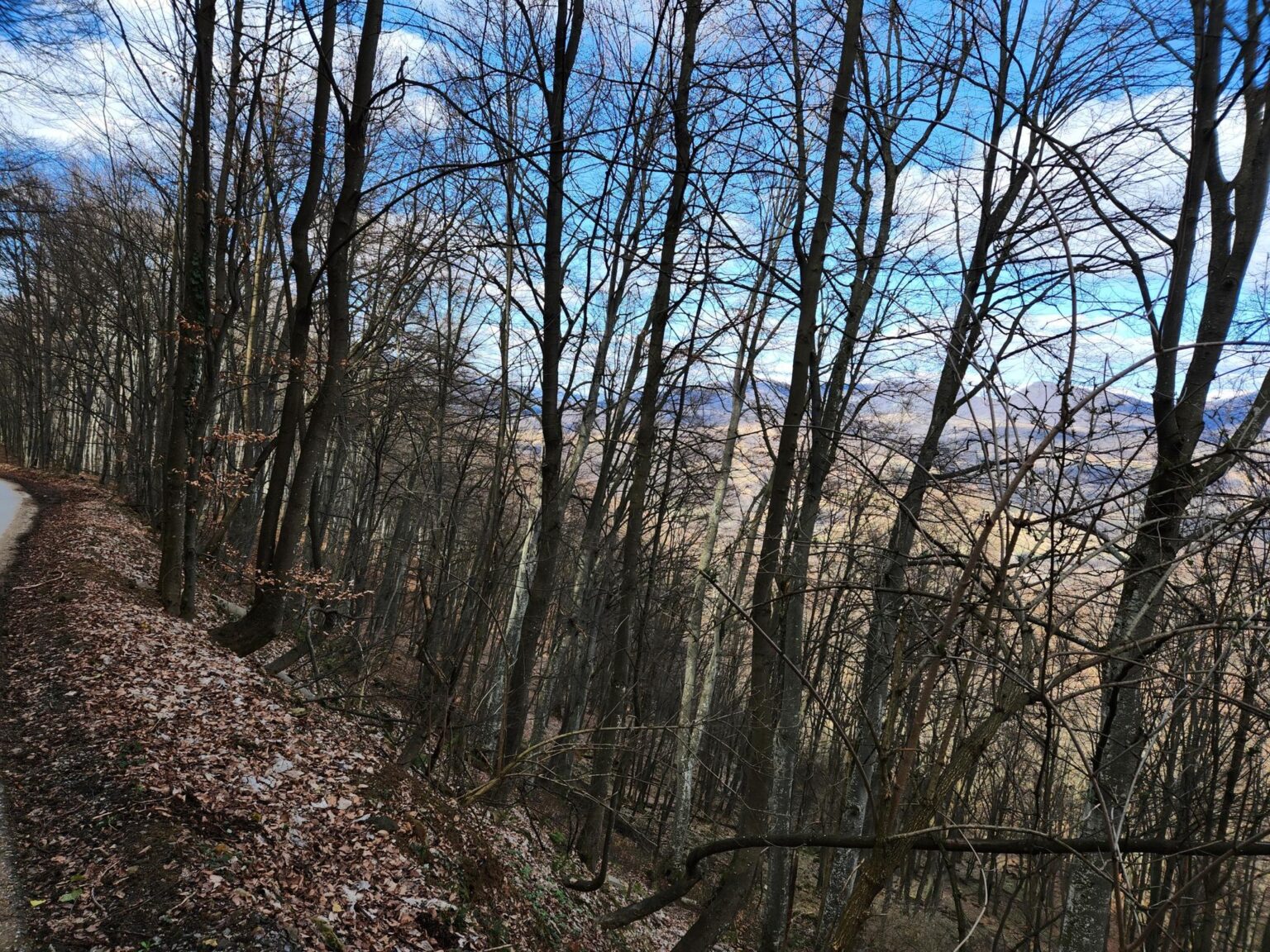
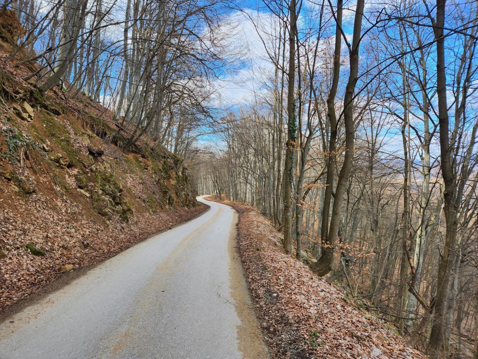
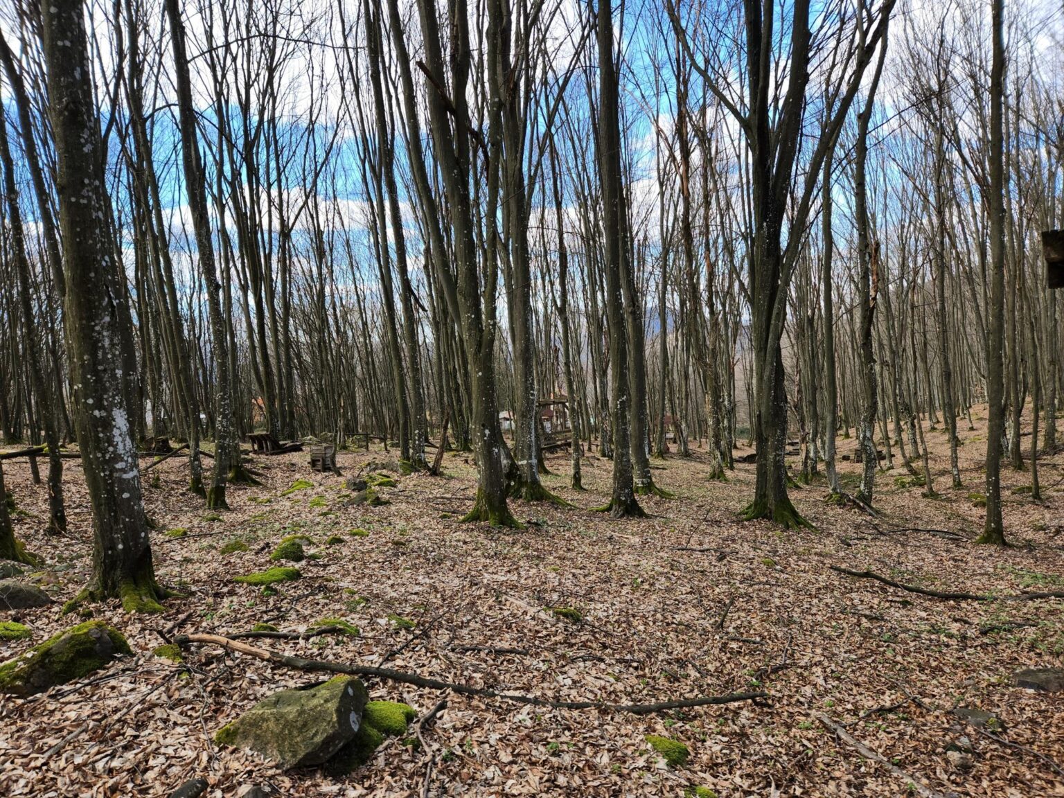
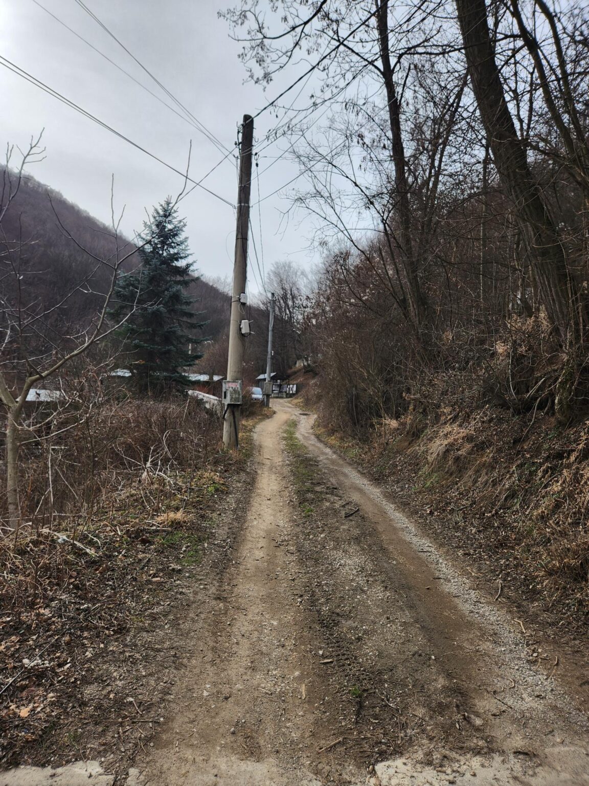
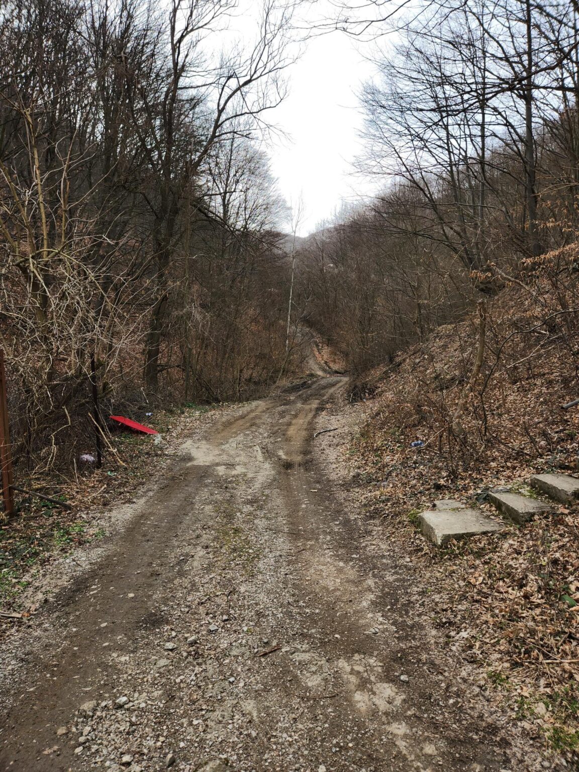
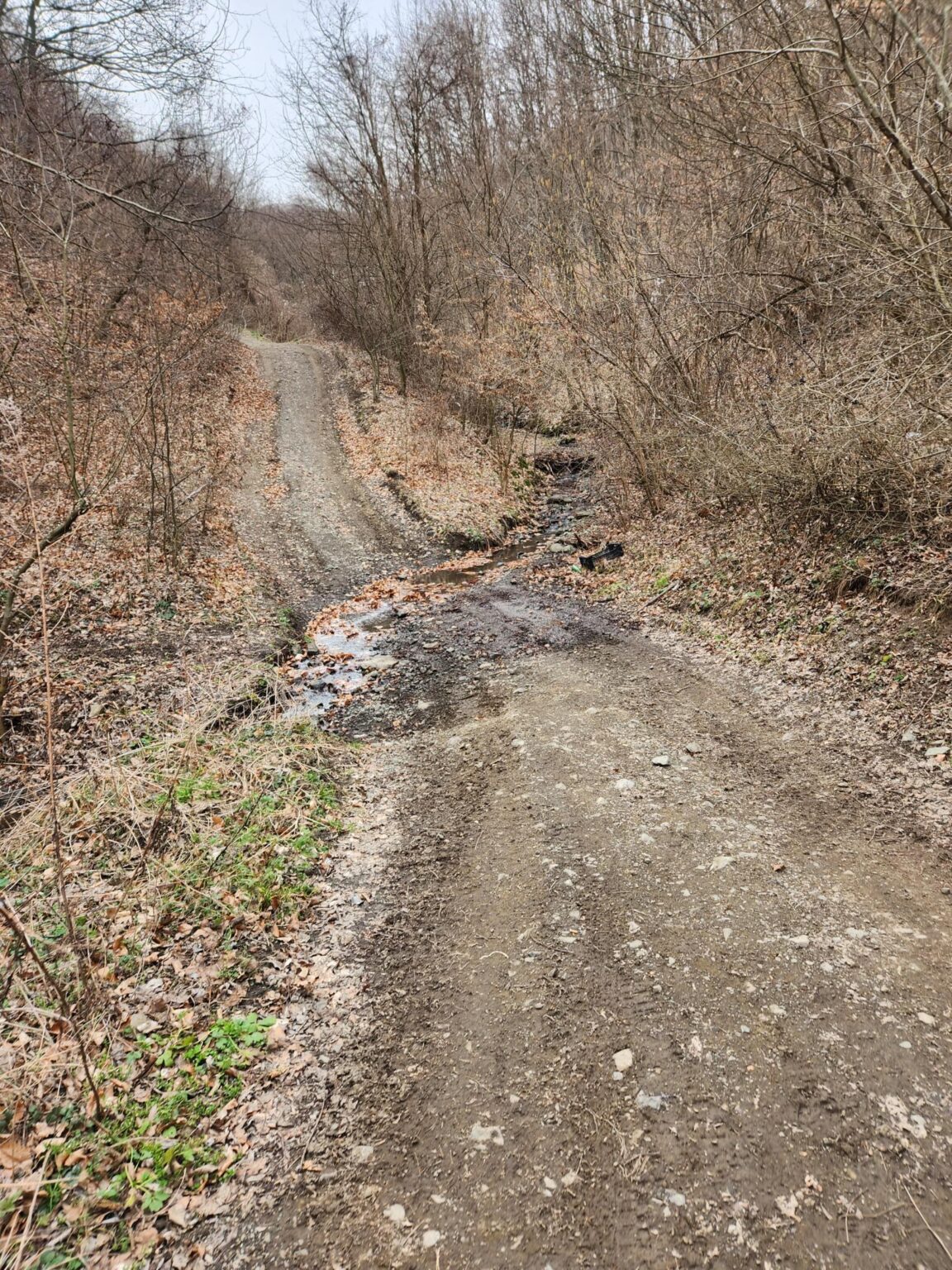
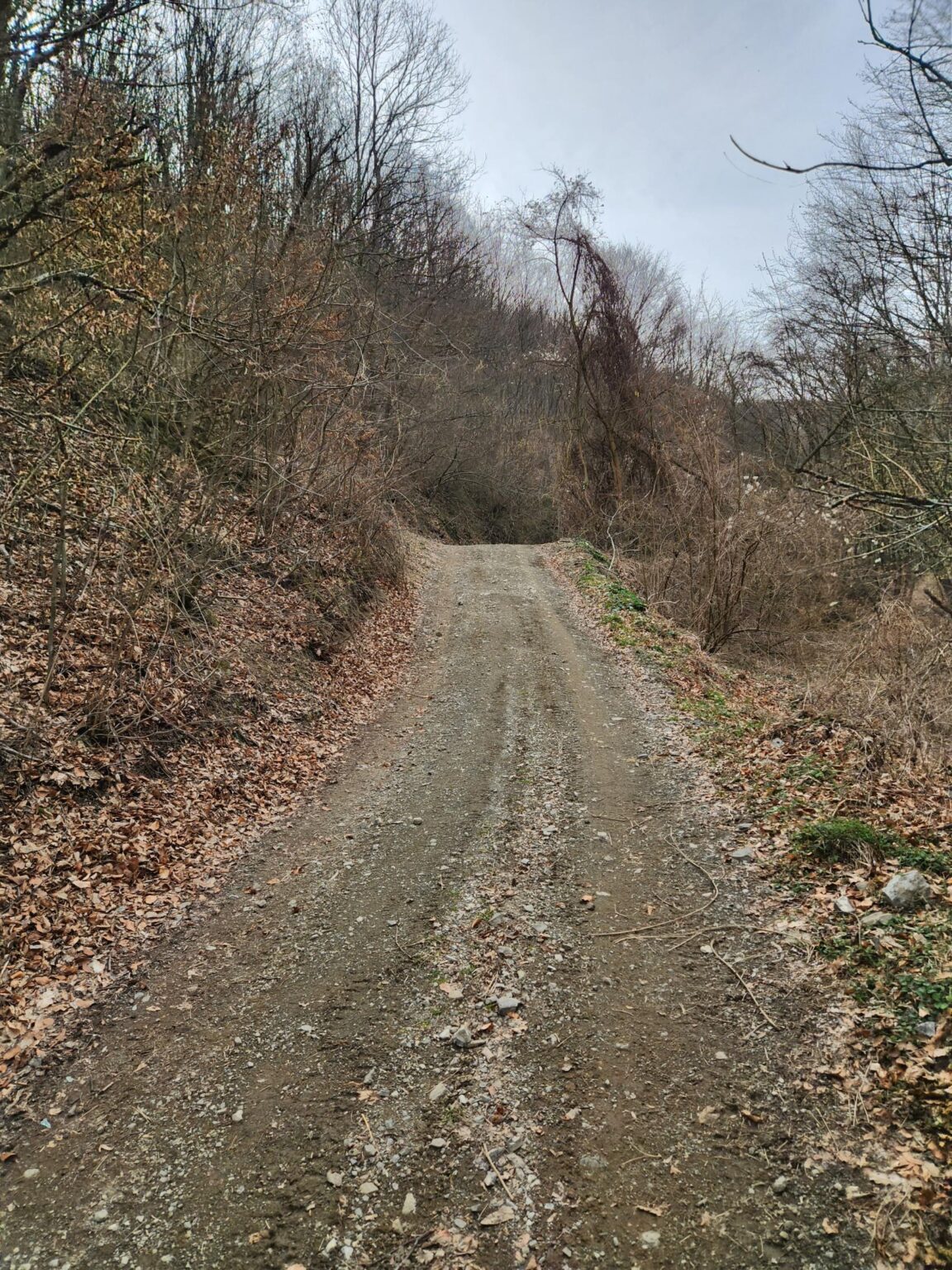
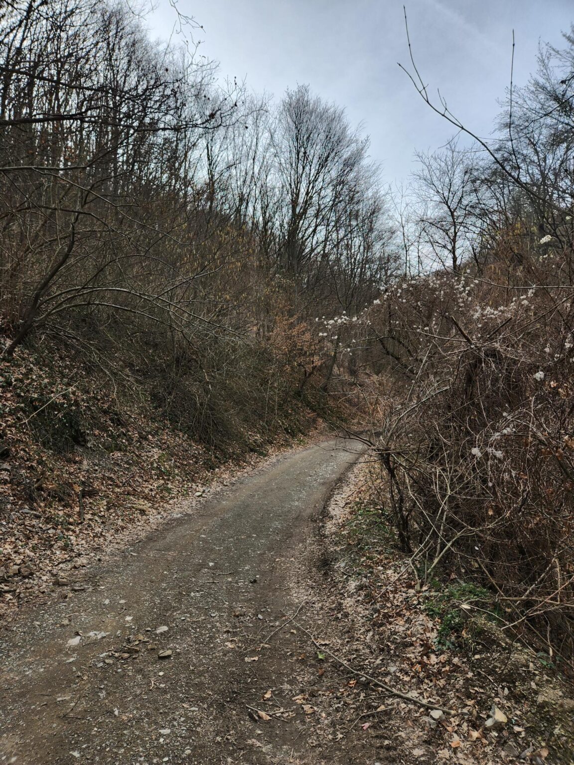
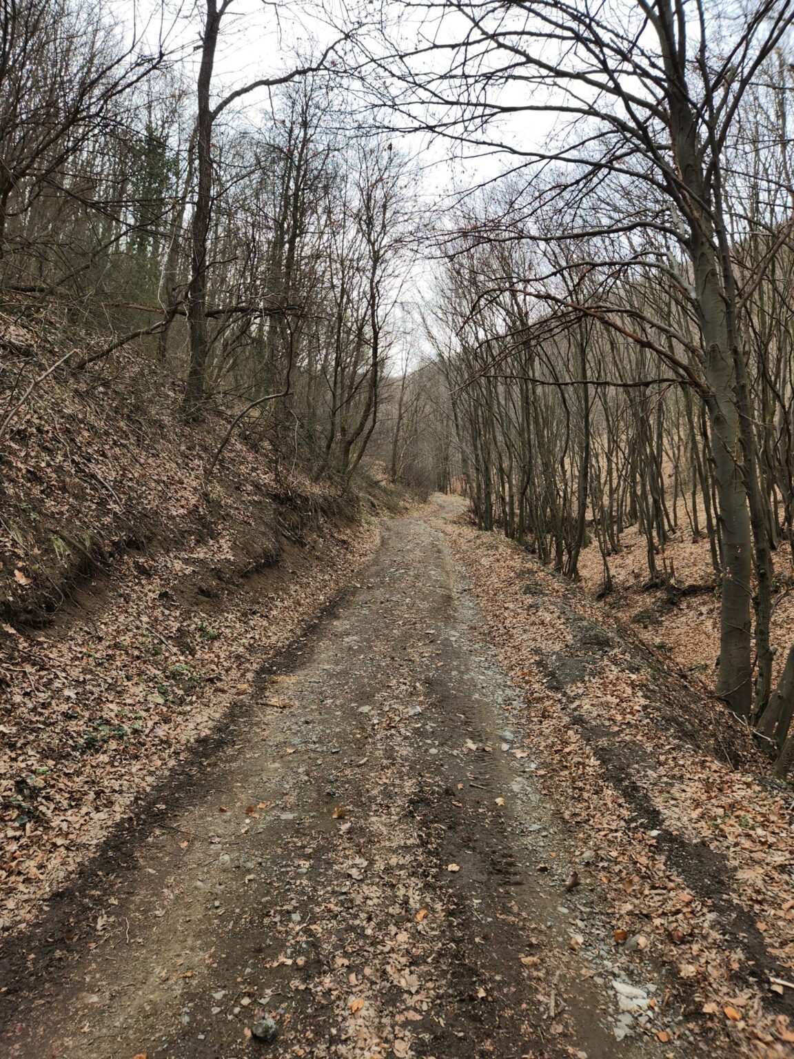
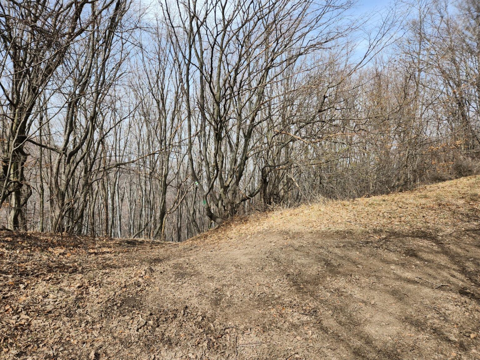
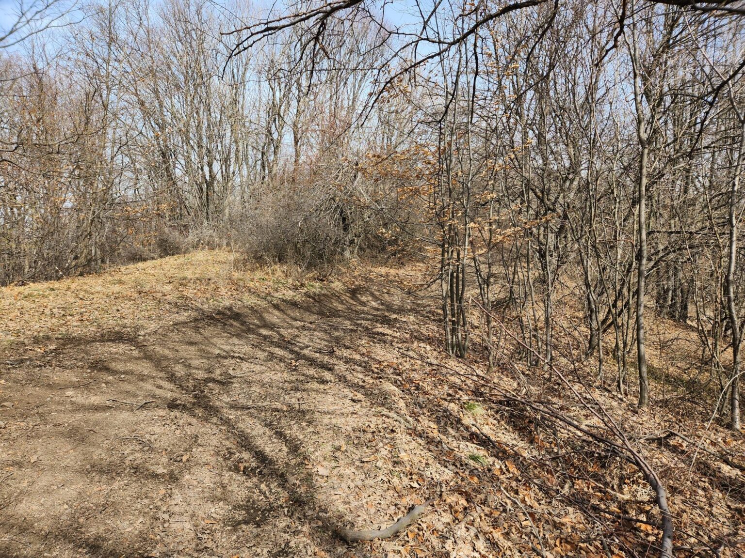
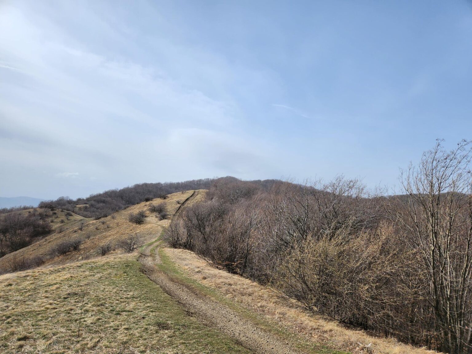
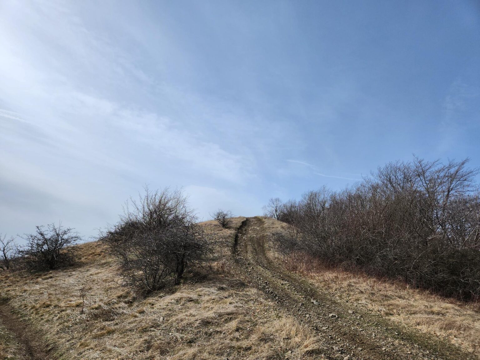
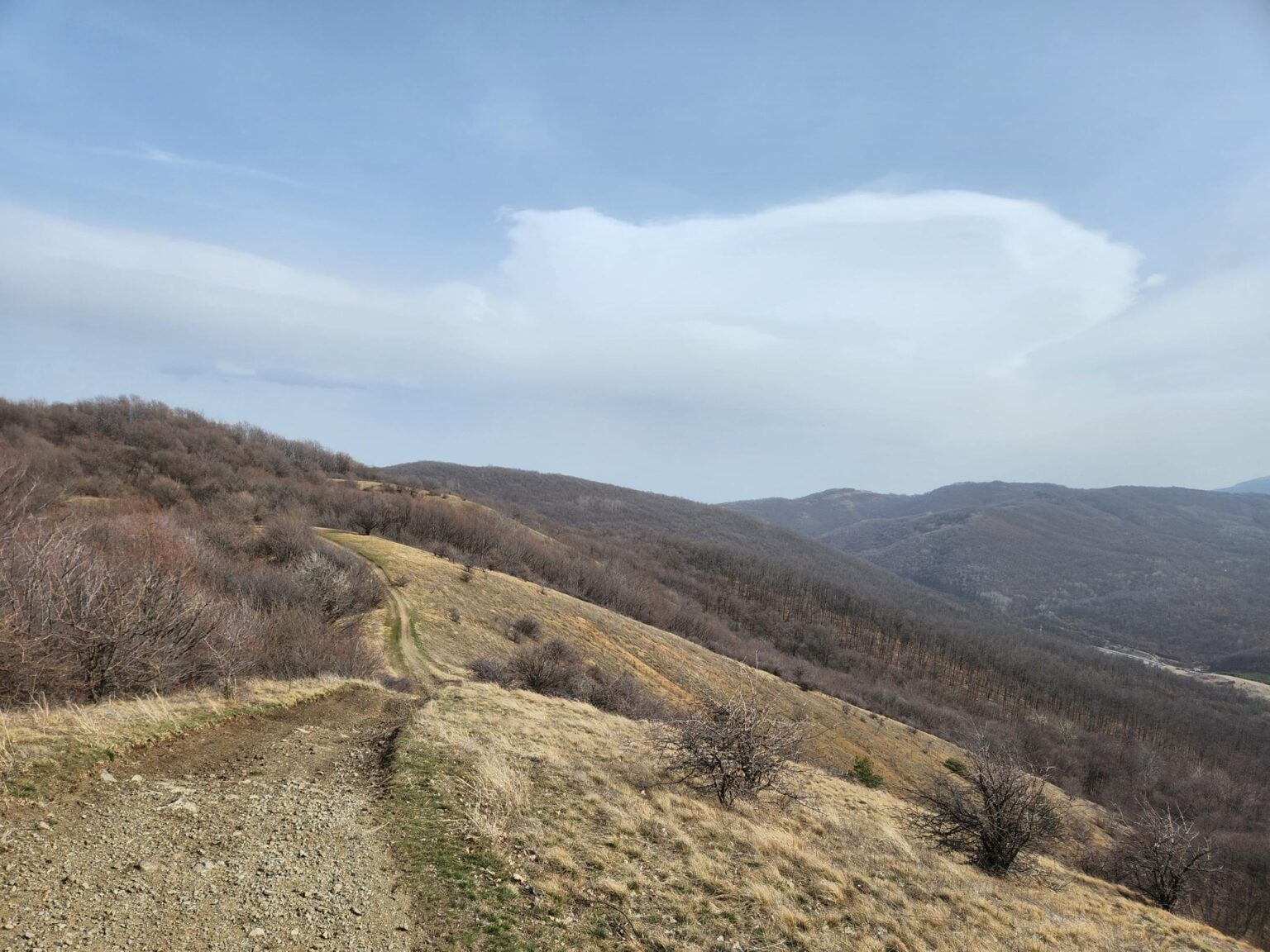
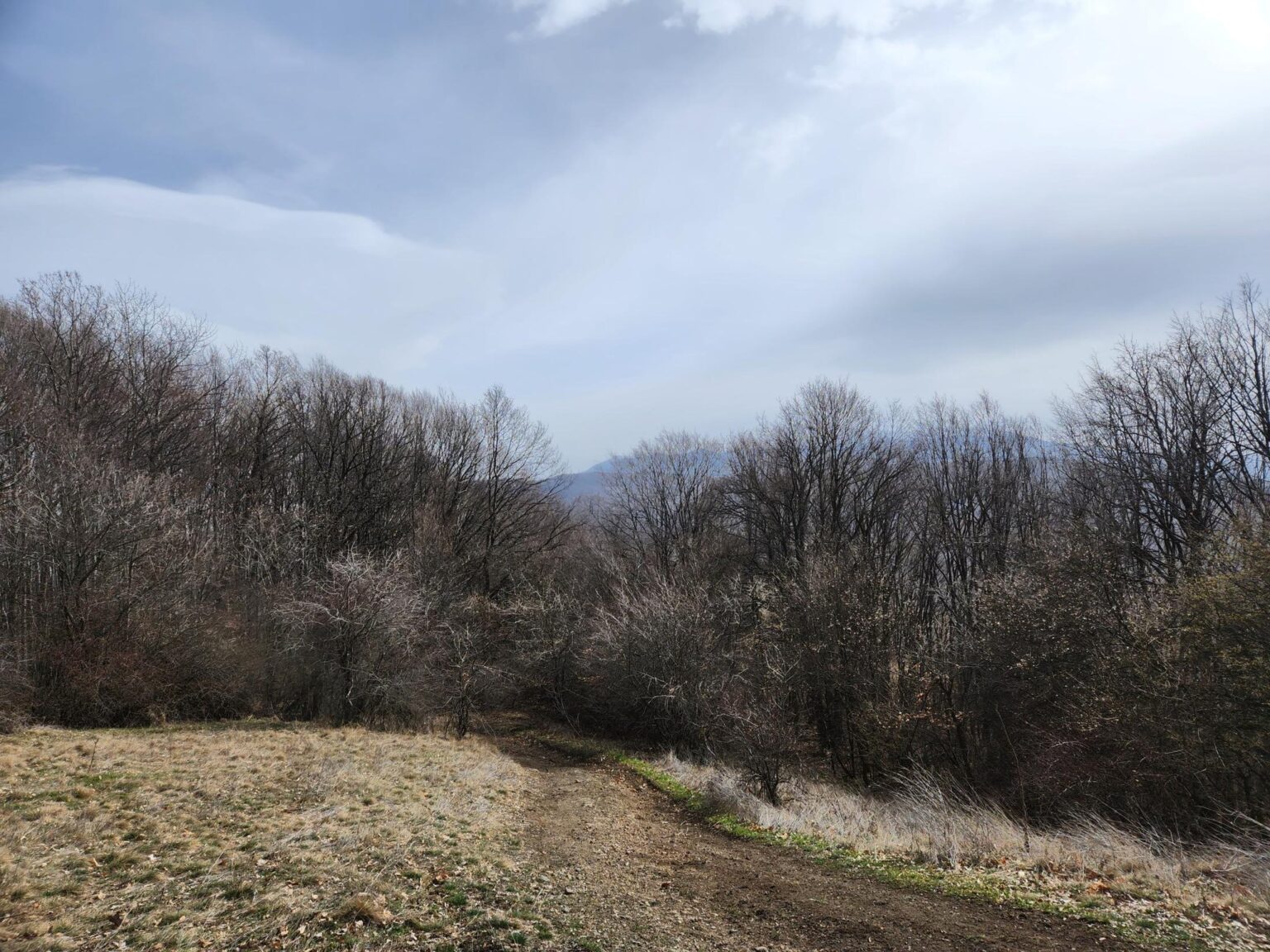
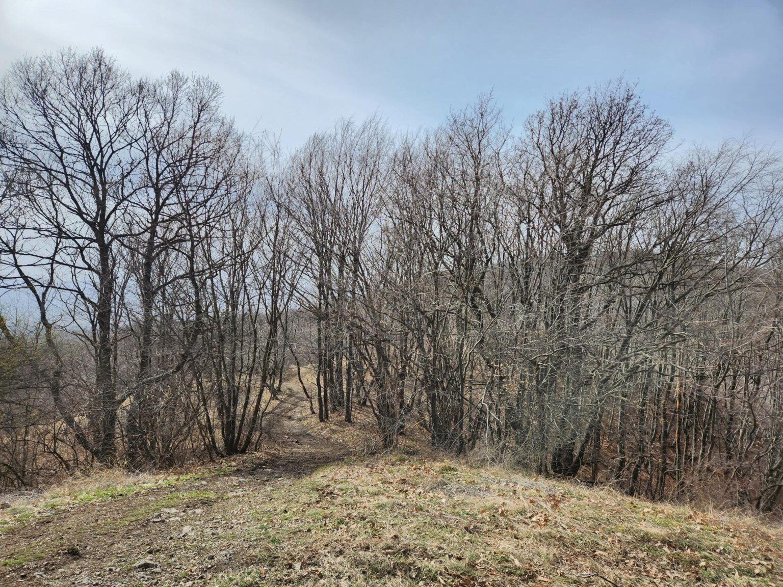
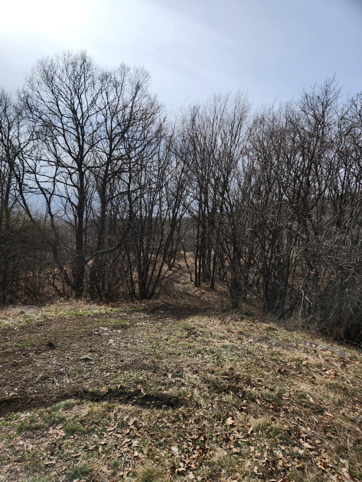
There isn’t a huge amount to tell here; this trail is more about looking than reading. Expect a big climb. The area is clearly popular with off-road enthusiasts on ATVs and dirt bikes, and they’ve obviously been through more than once or twice 😀 You’ll hear them from far away, and there’s a good chance you’ll see a few. The path is wide enough to pass each other without getting in the way. About five minutes in, there’s a great little bench made from a few branches wedged between two trees. Here’s what the walk and the path look like:
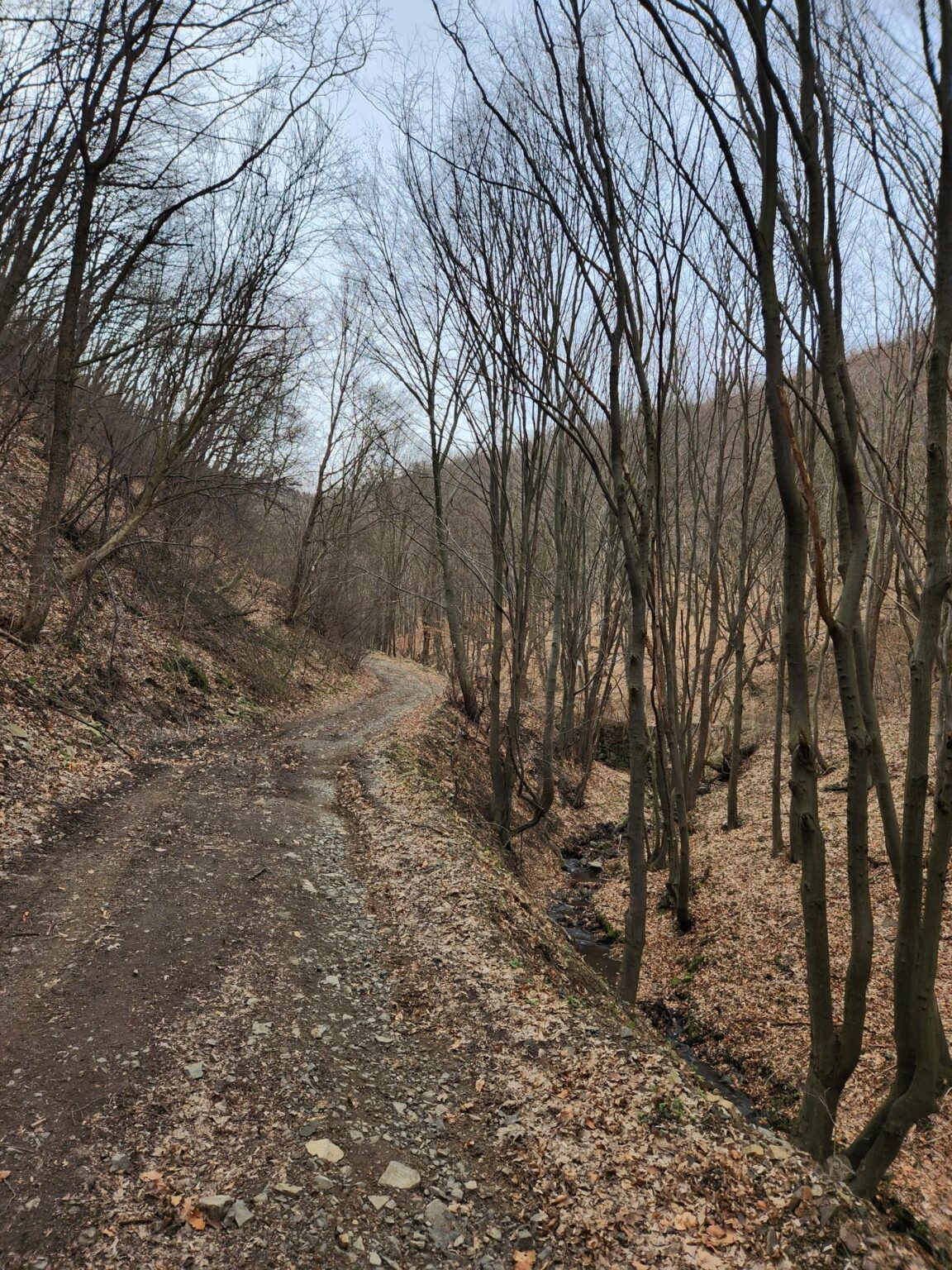
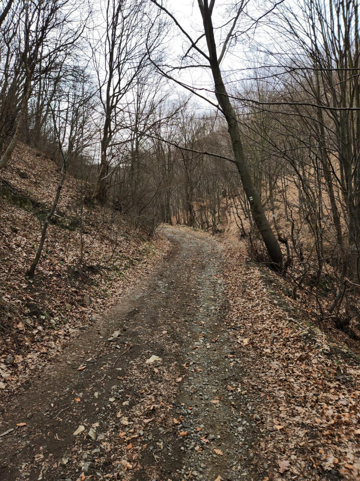
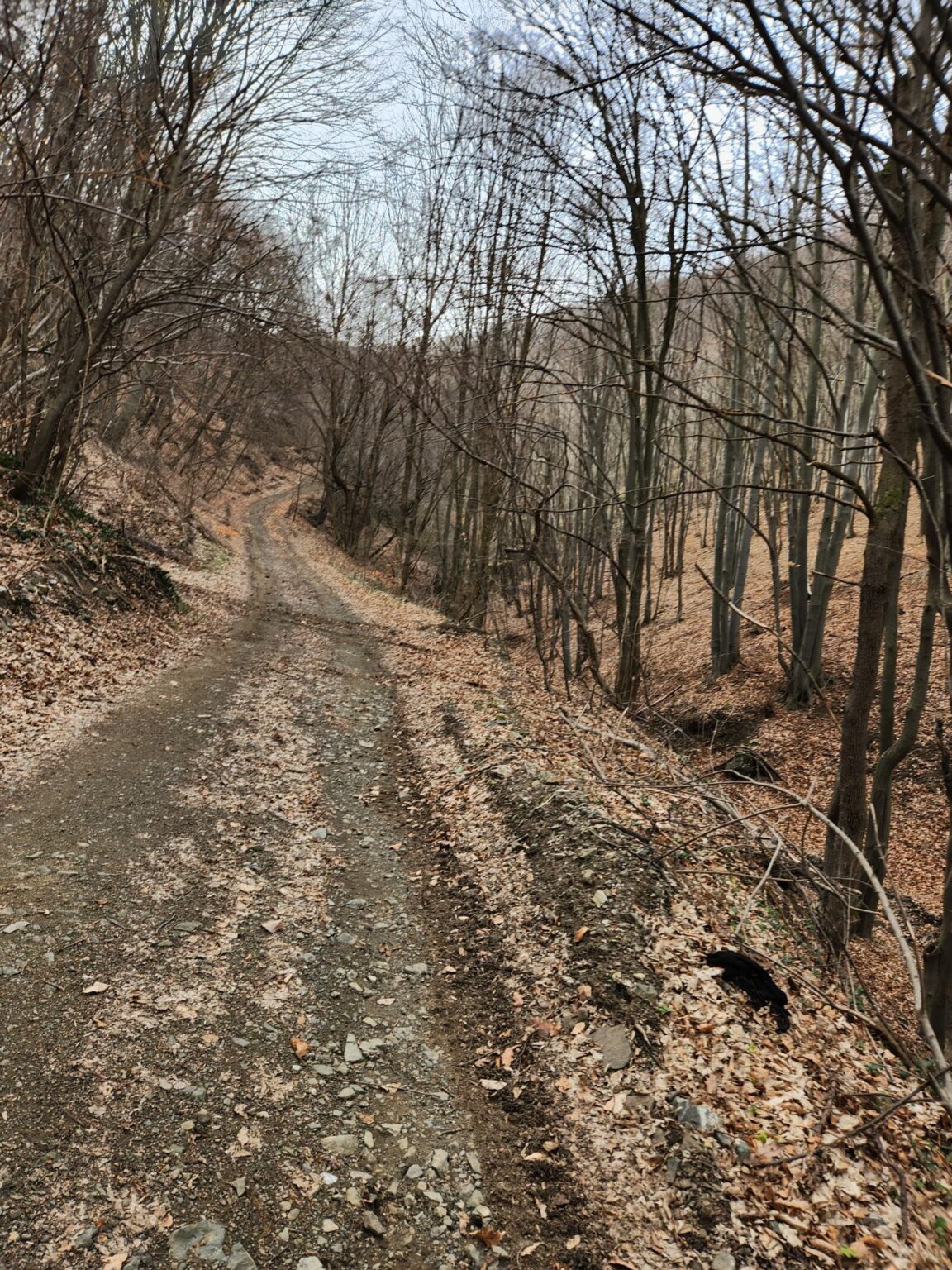
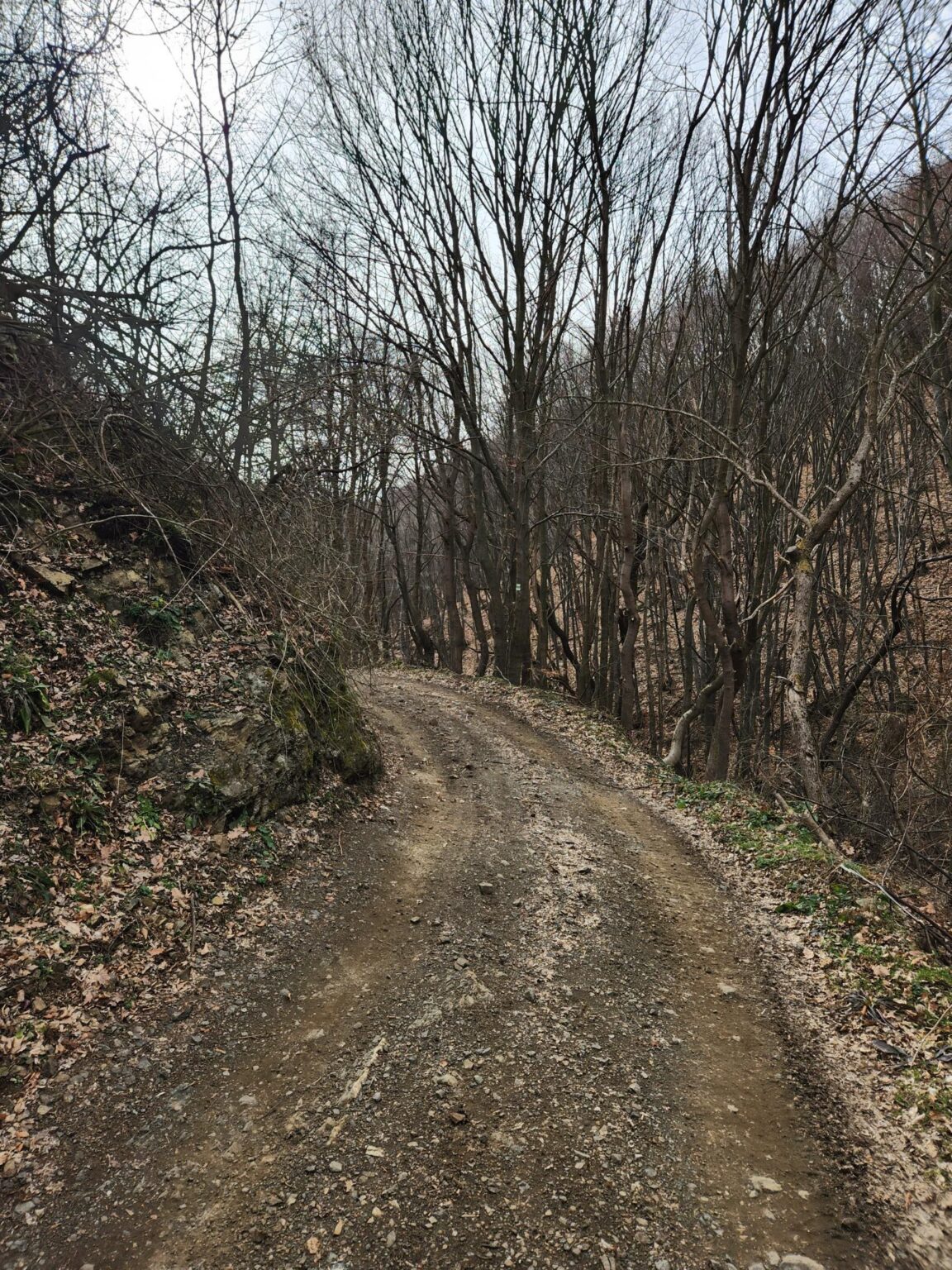
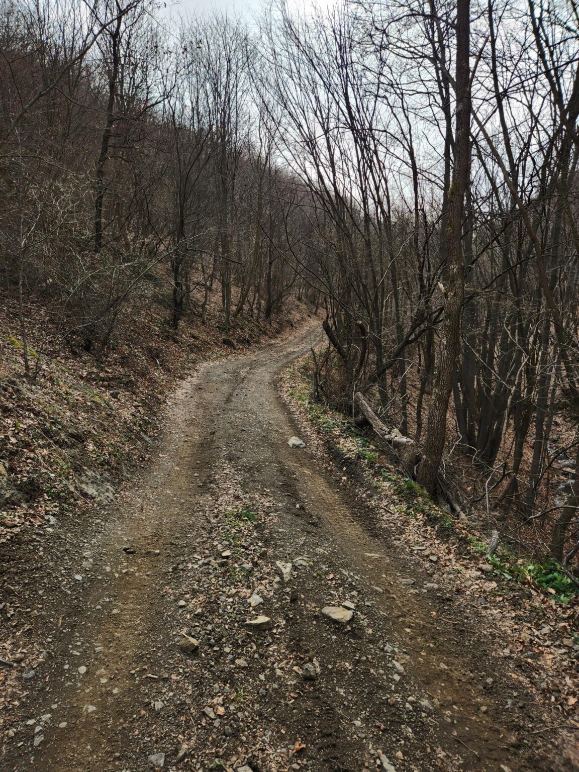
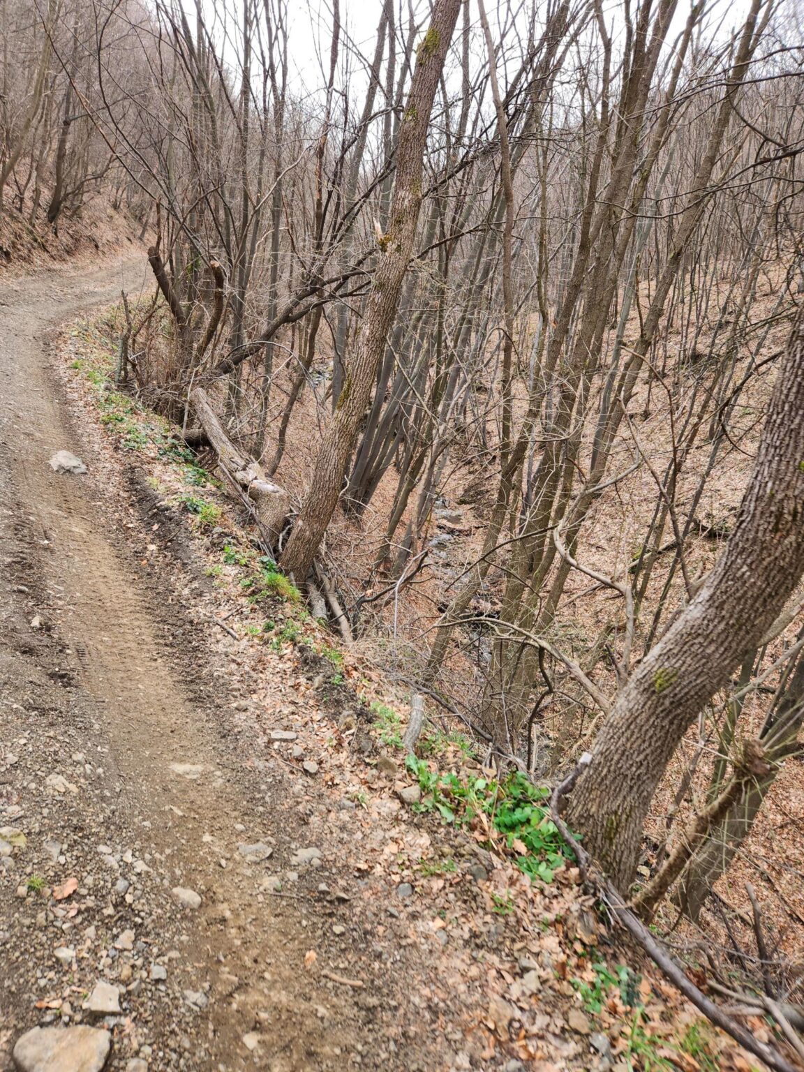
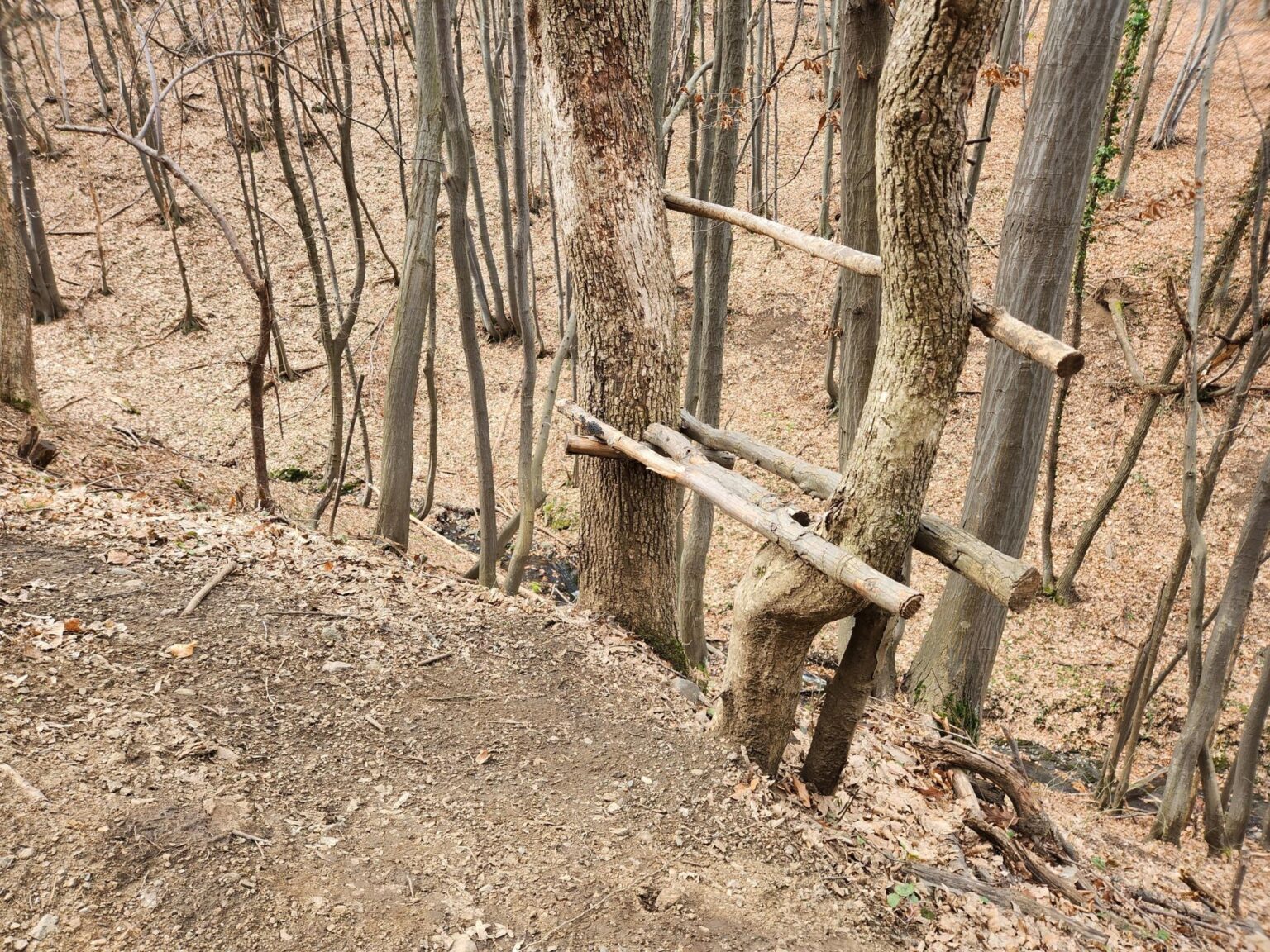
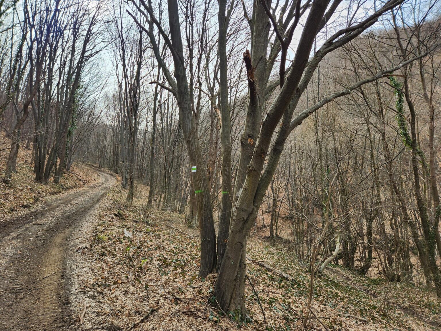
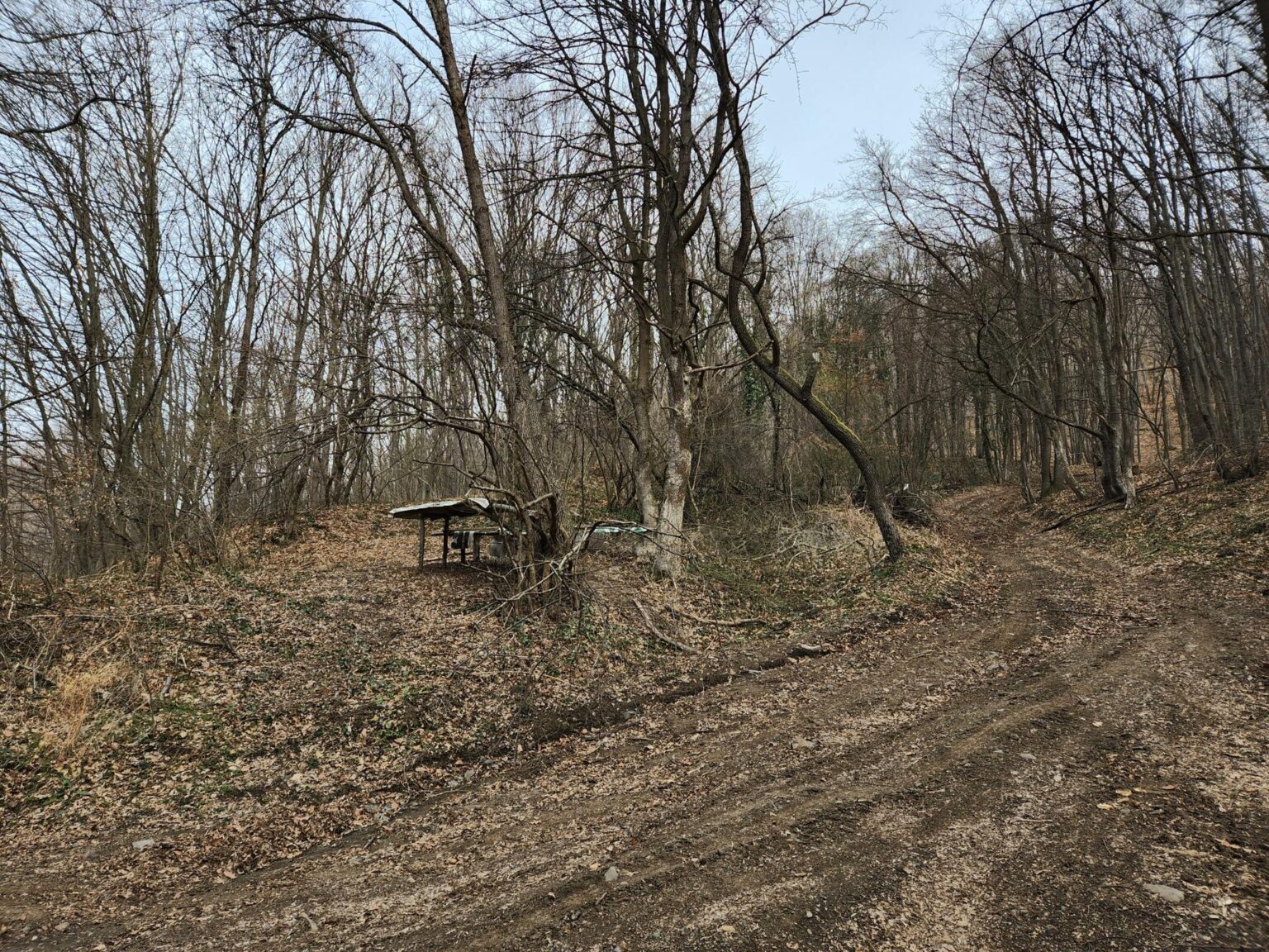
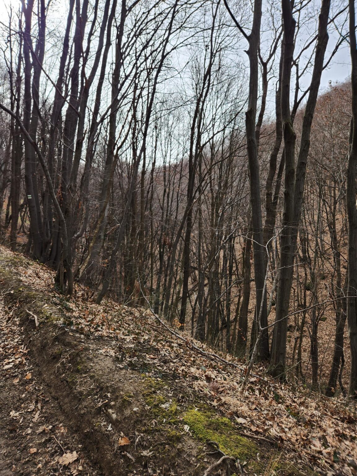
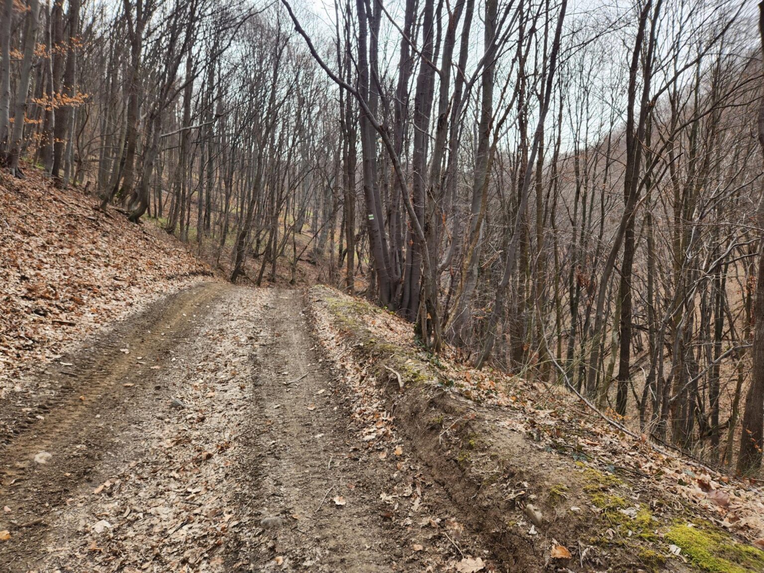
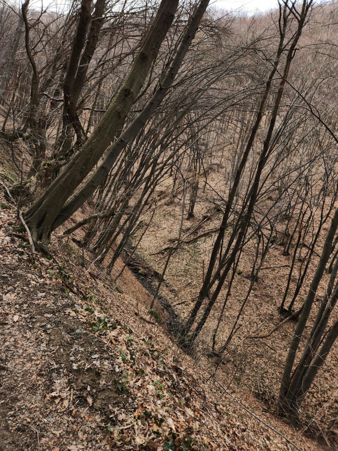
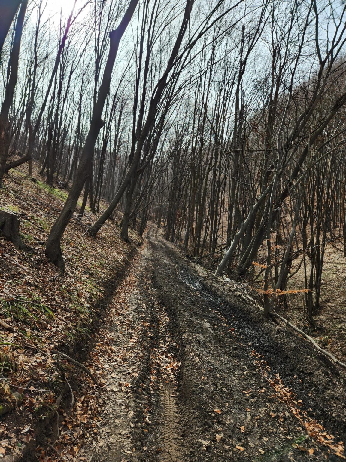
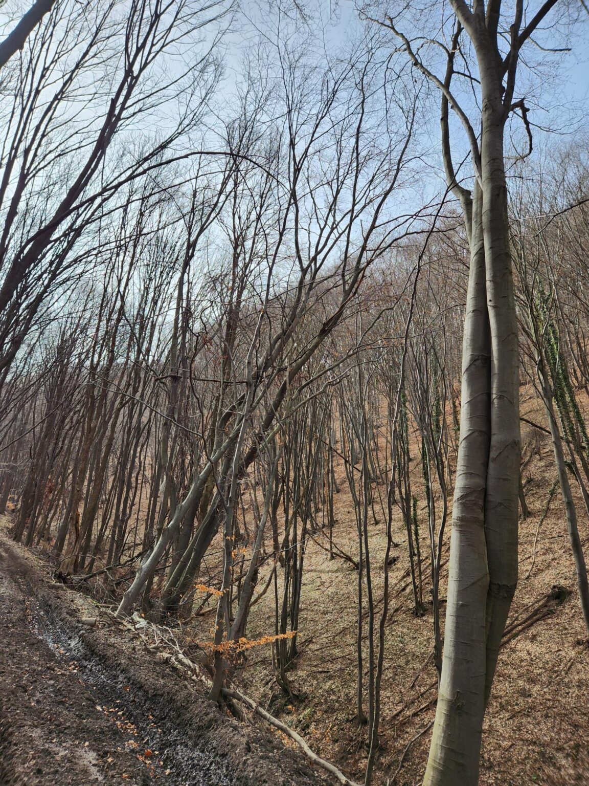
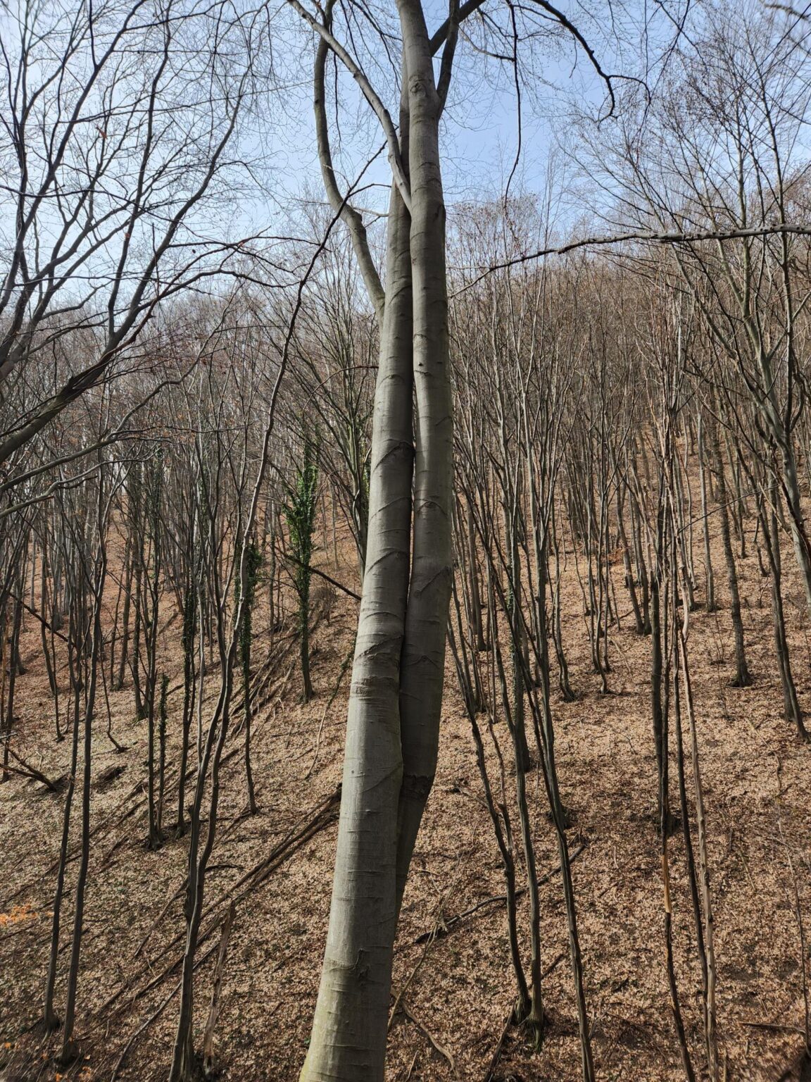
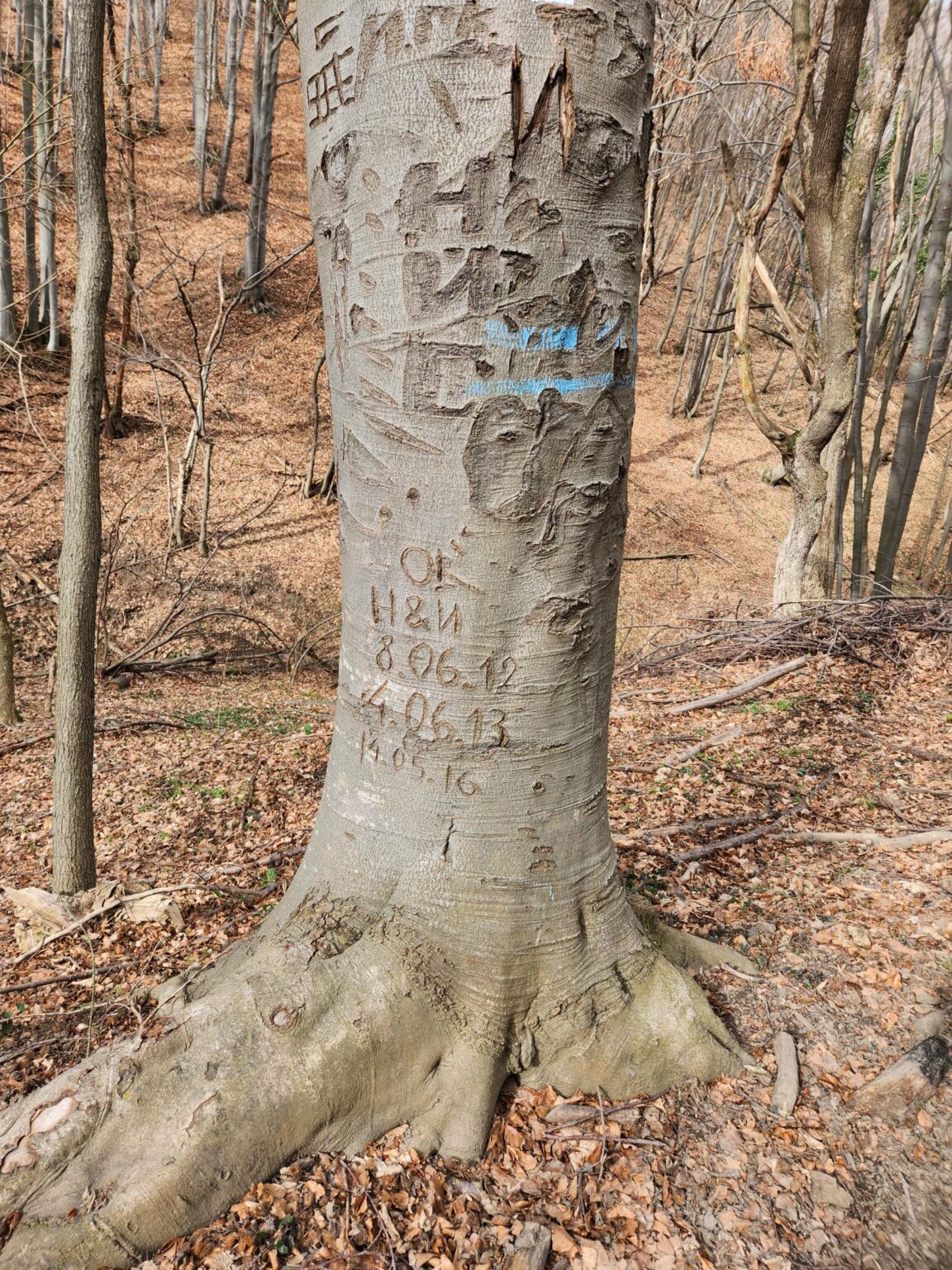
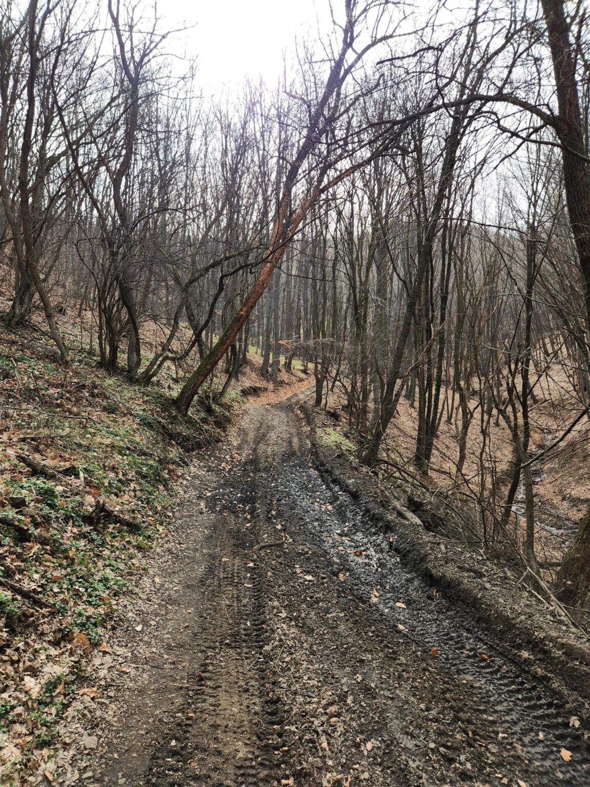
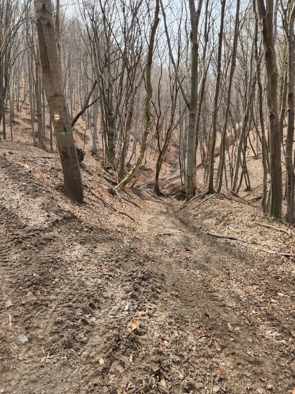
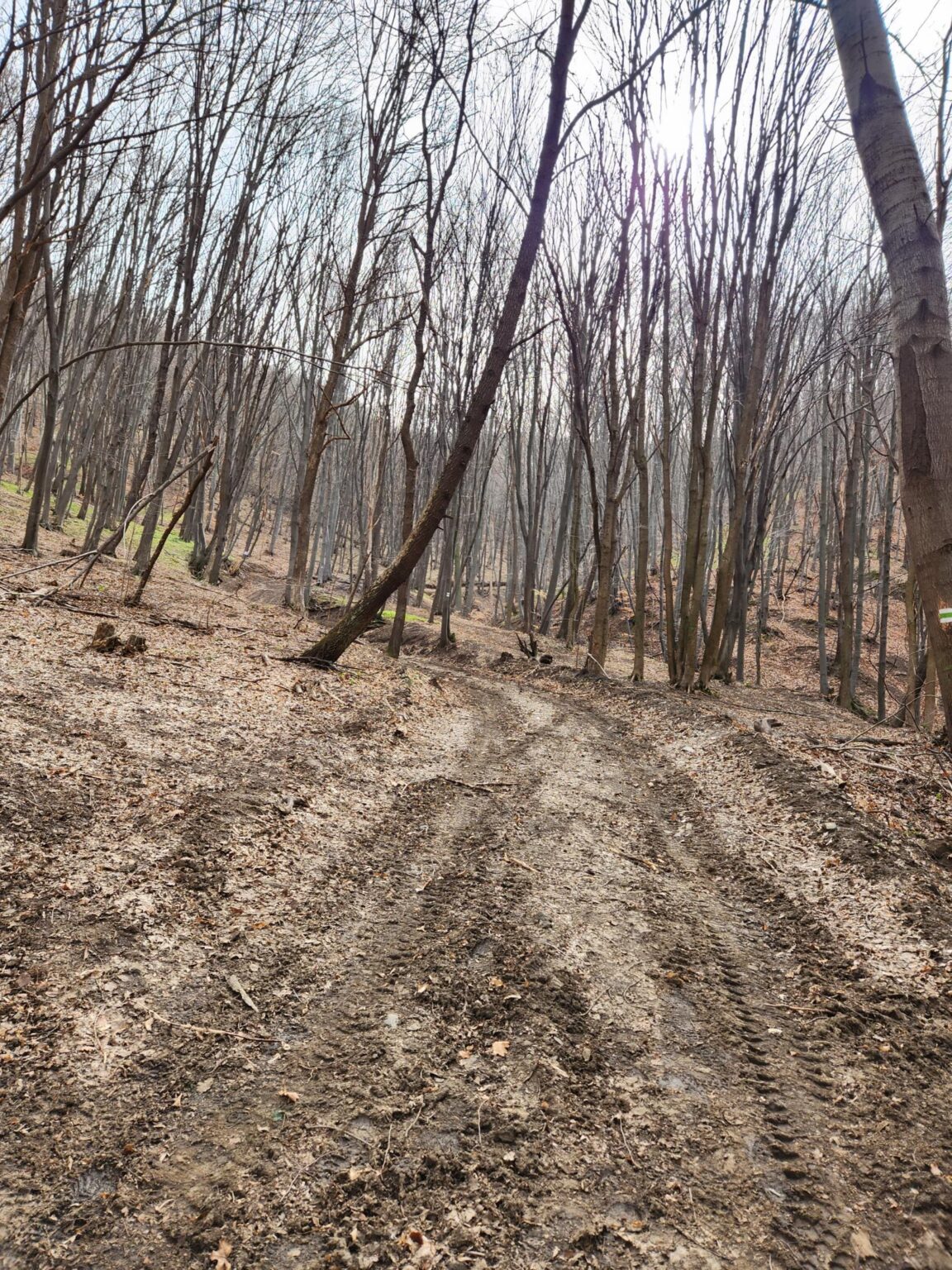
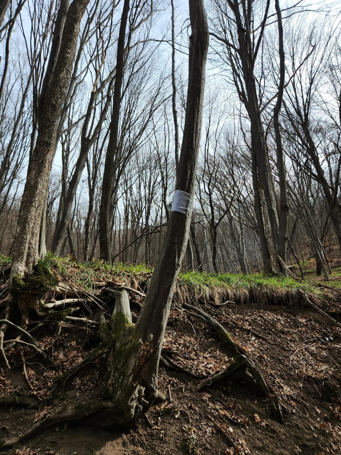
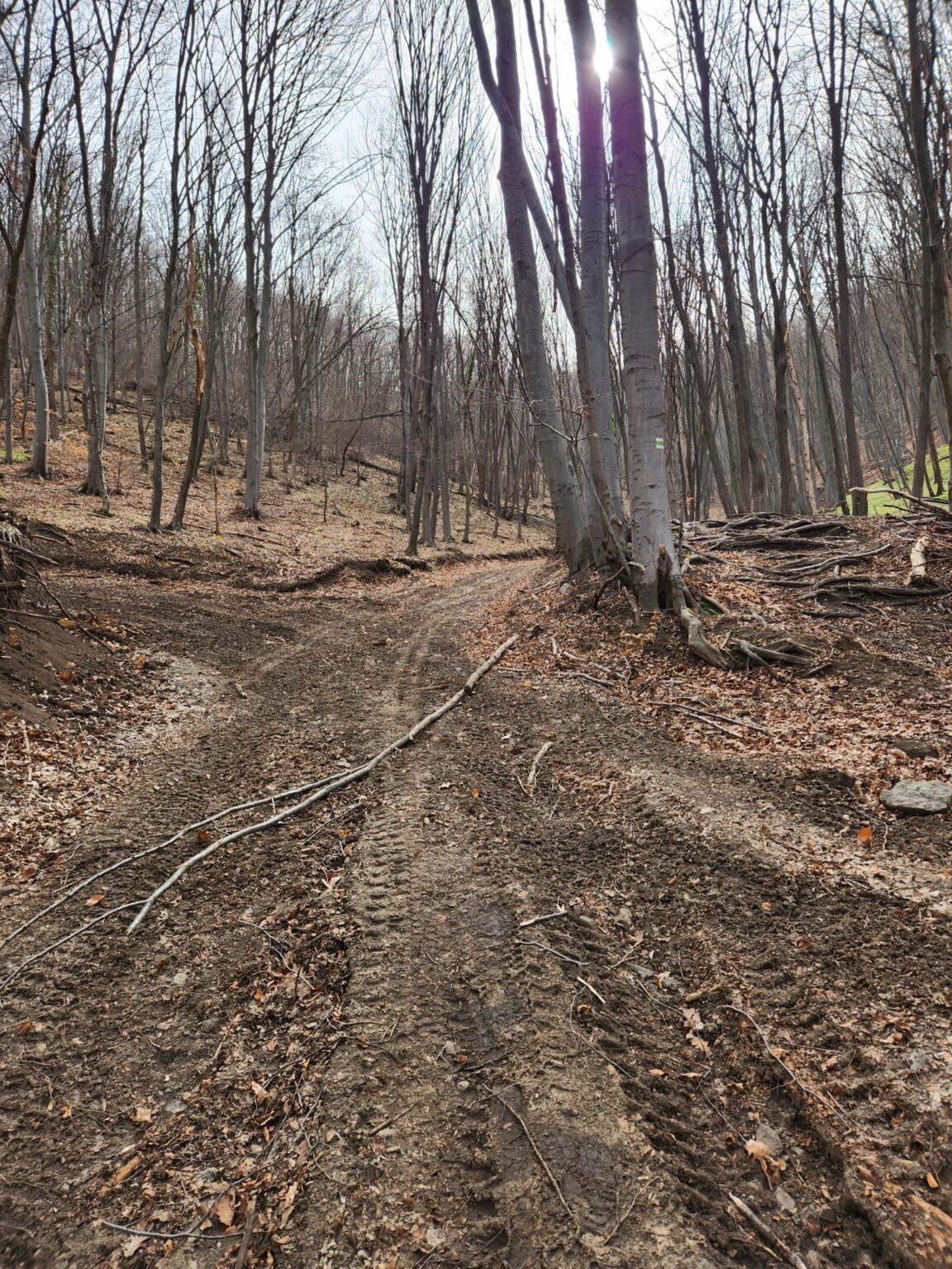
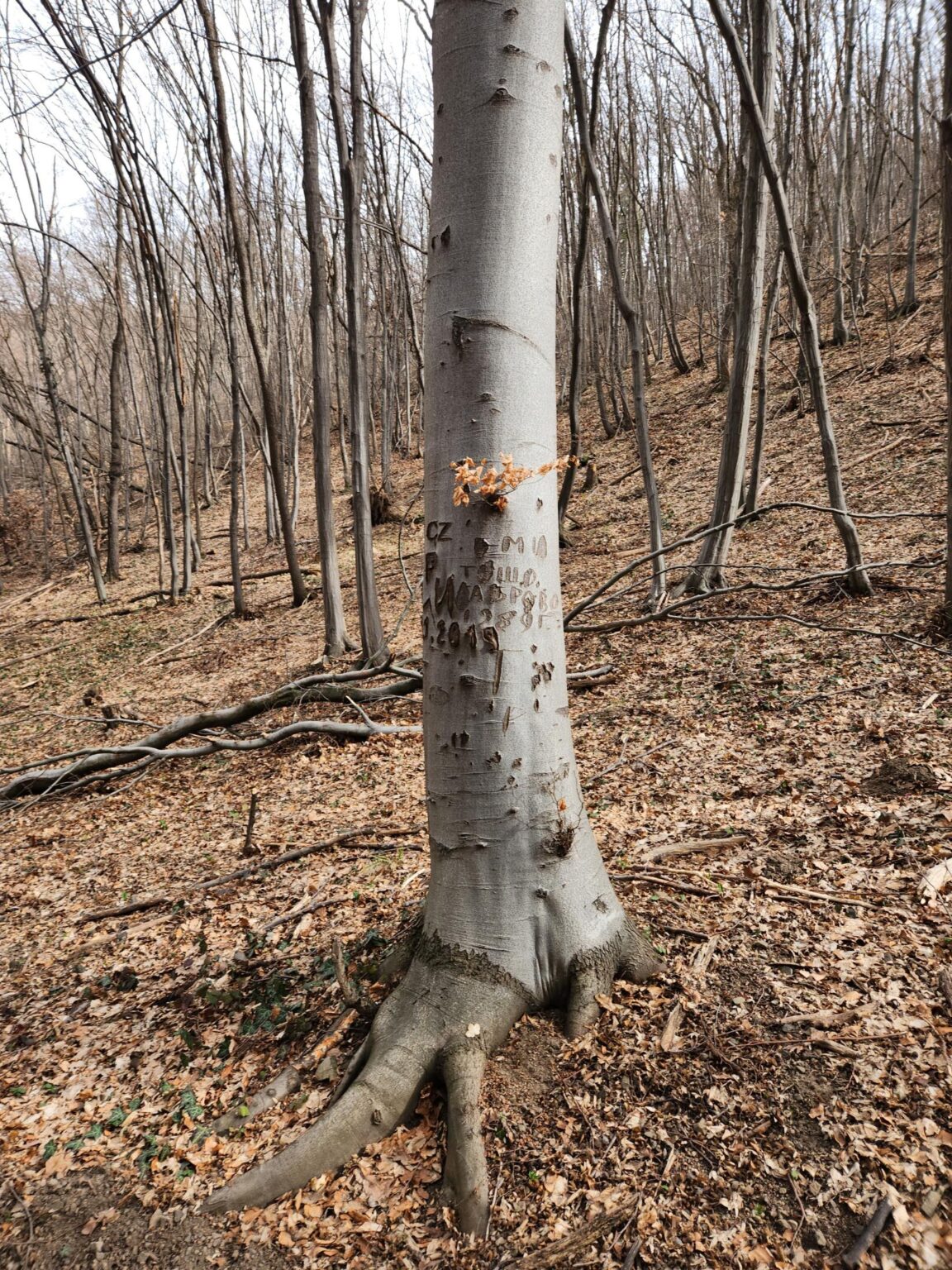
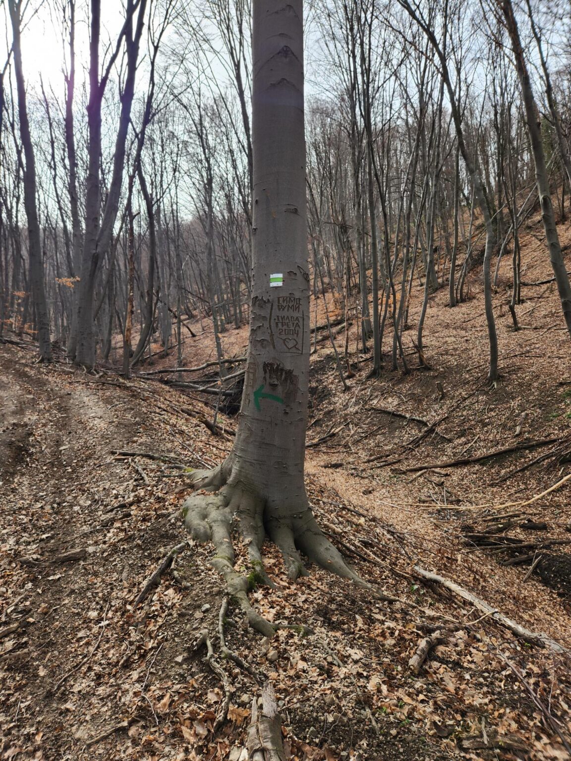
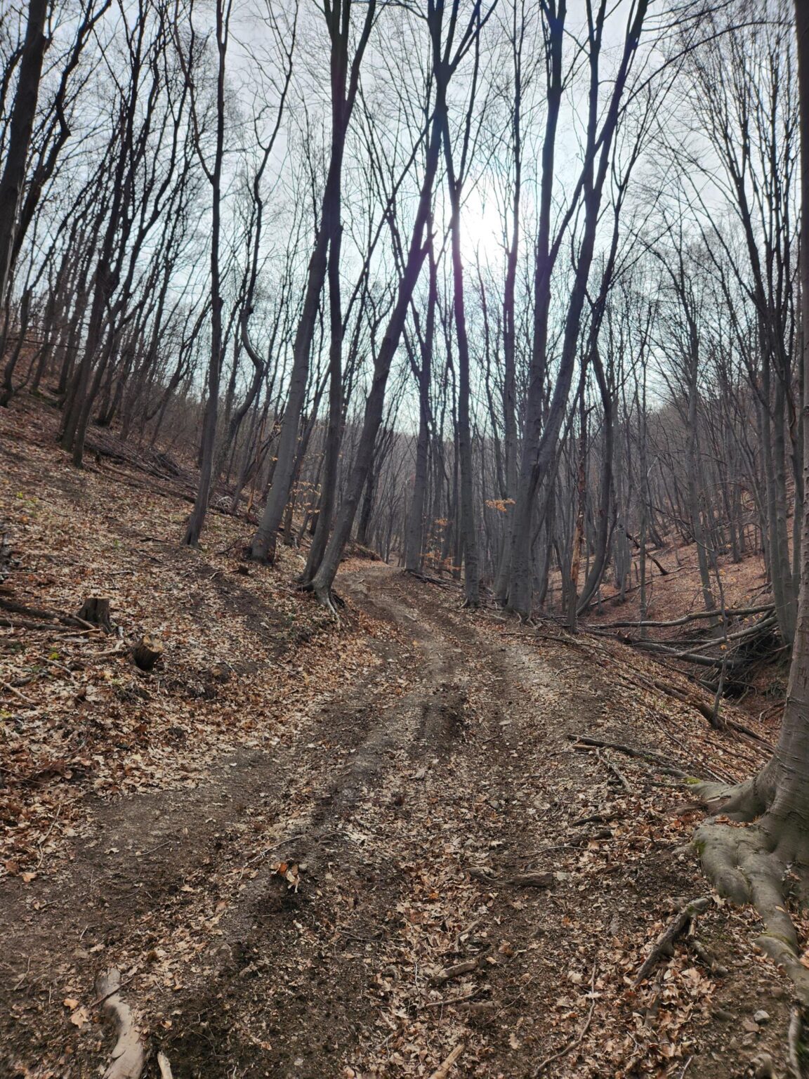
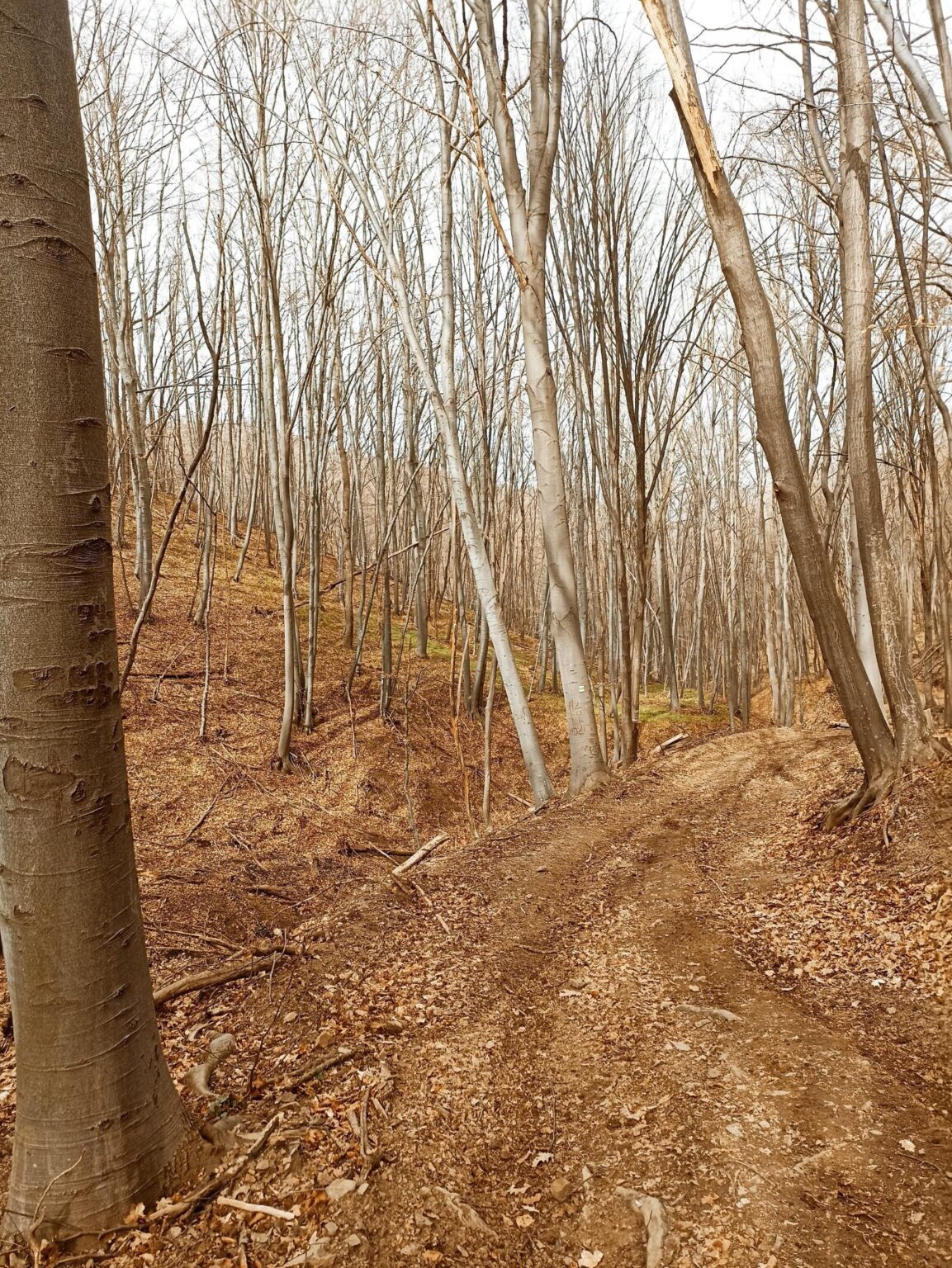
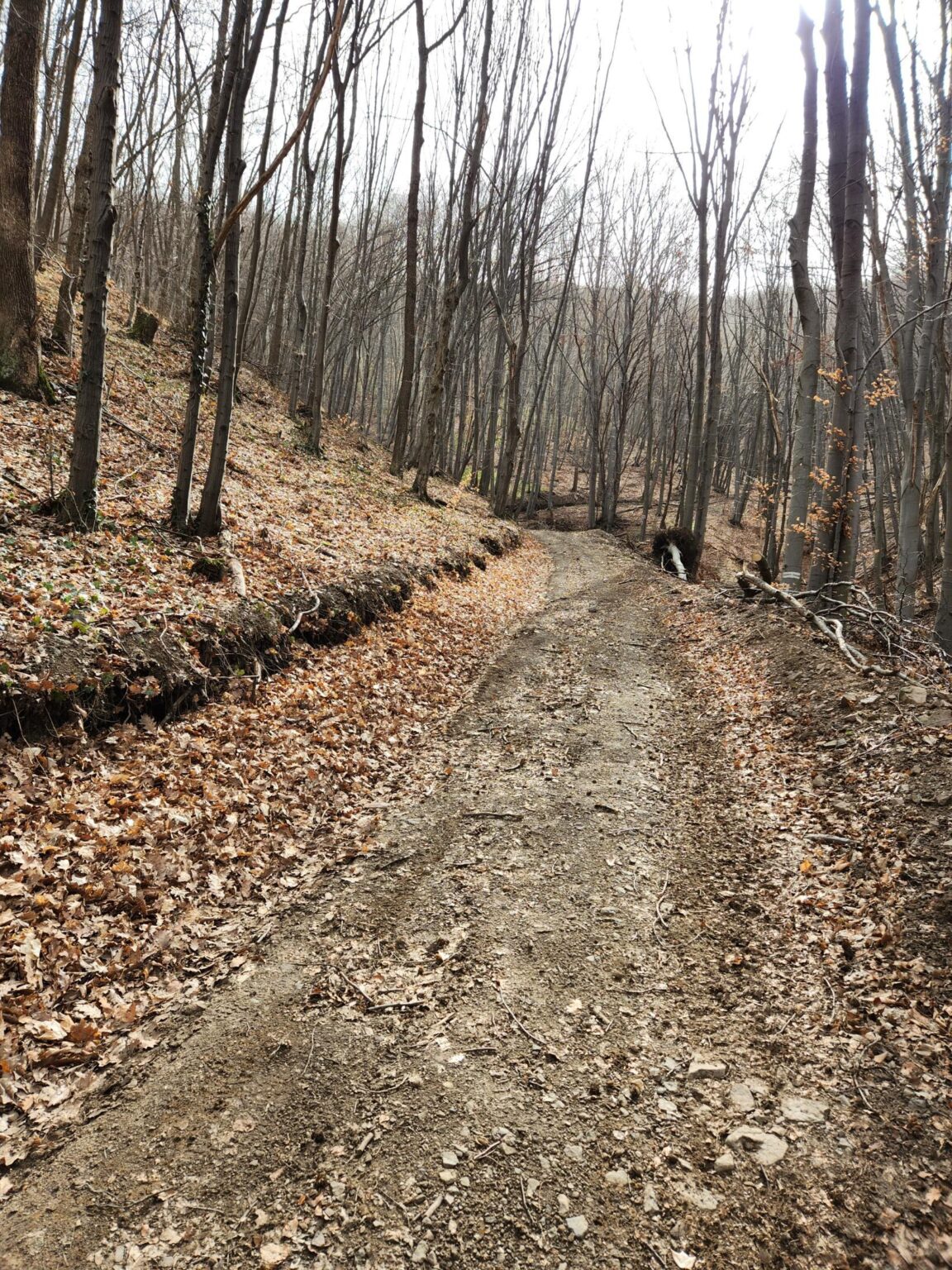
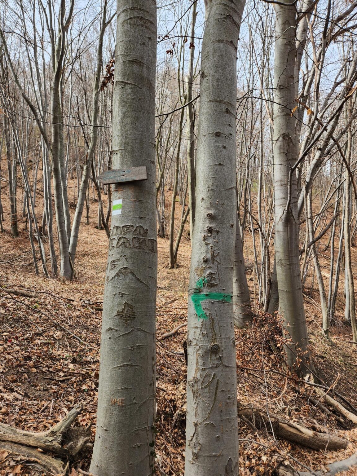
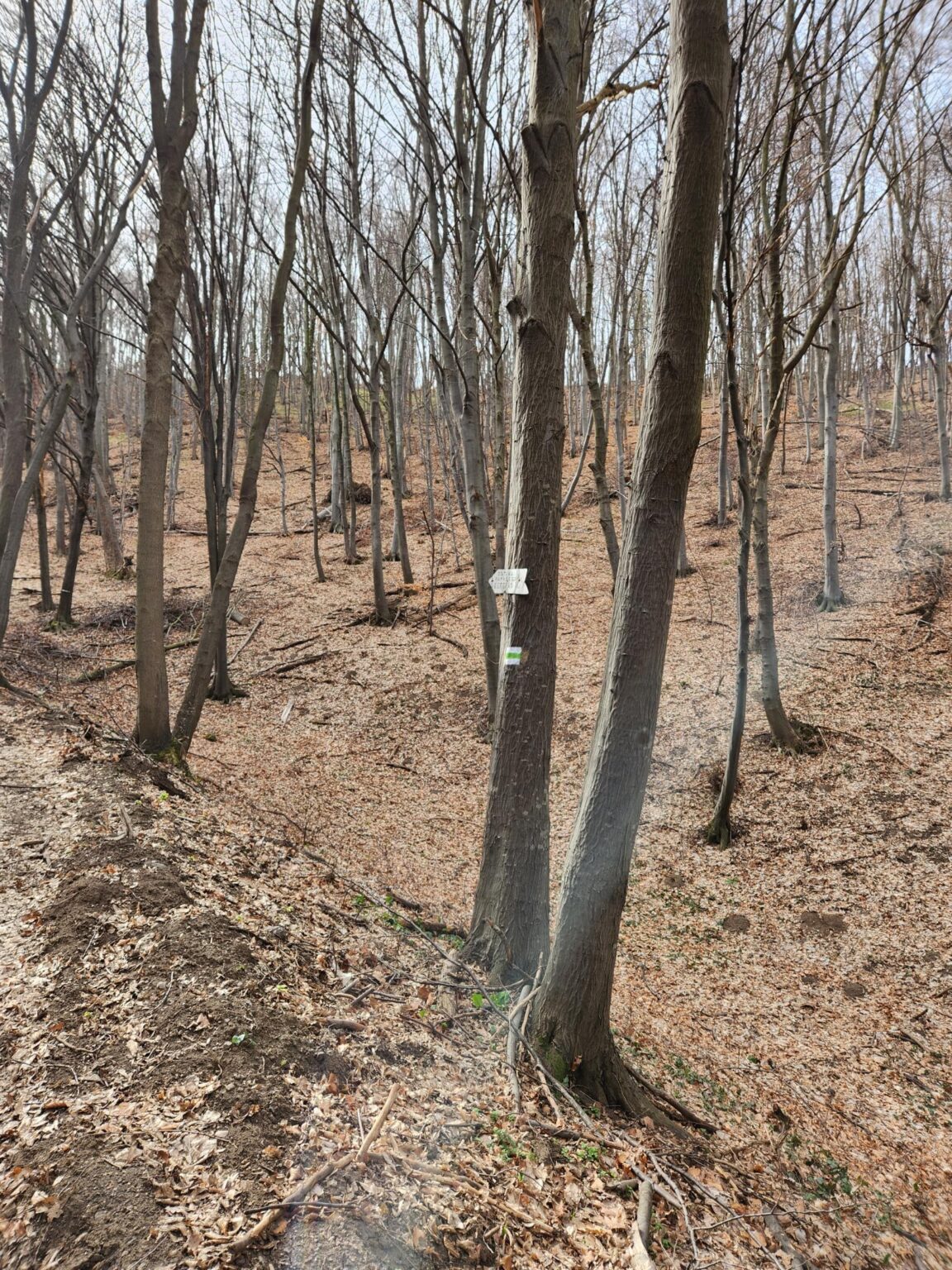
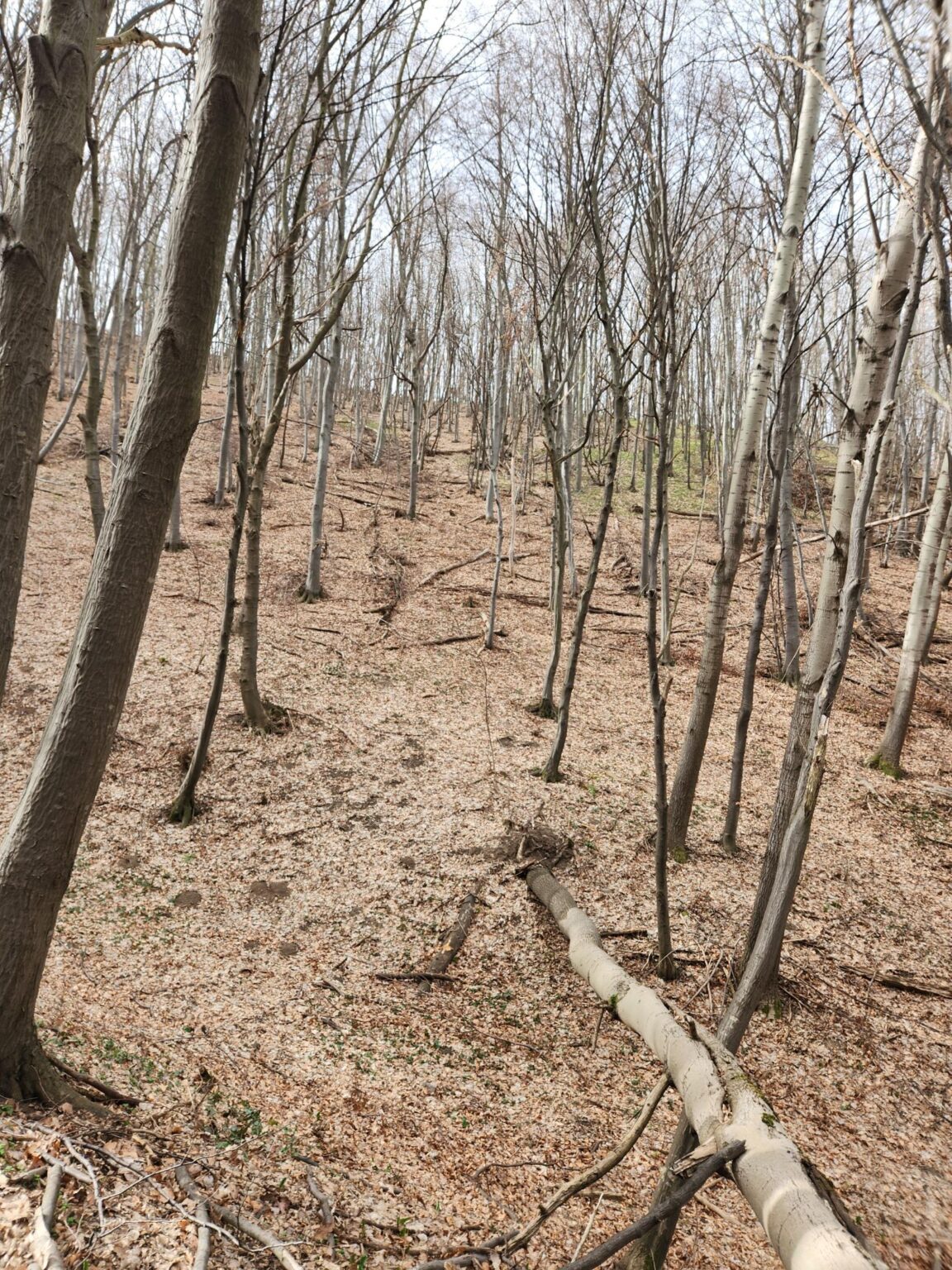
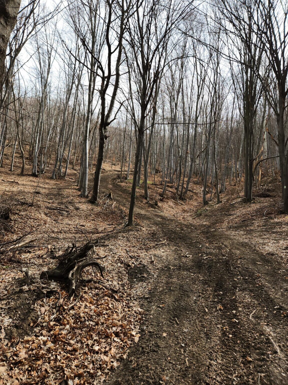
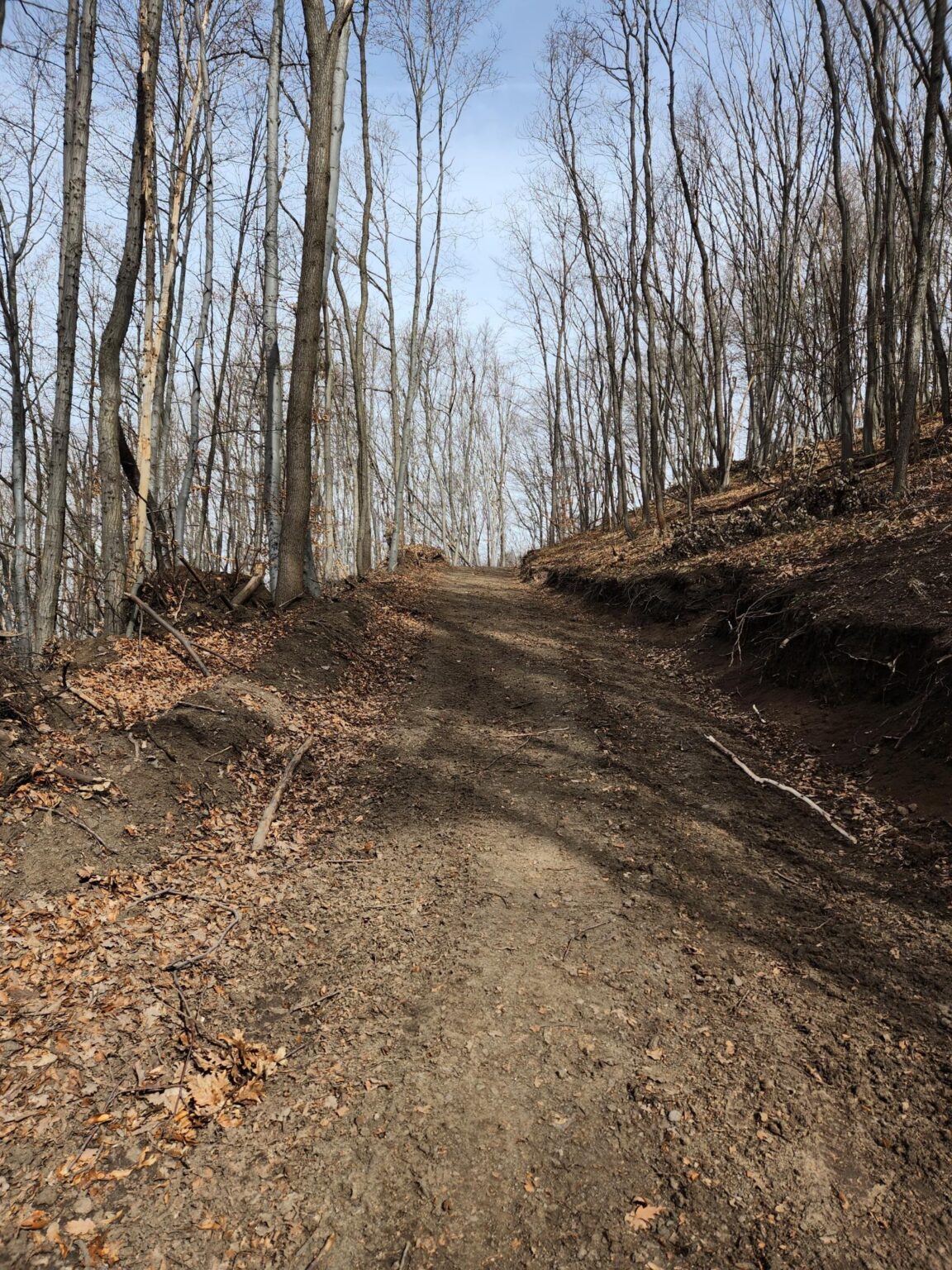
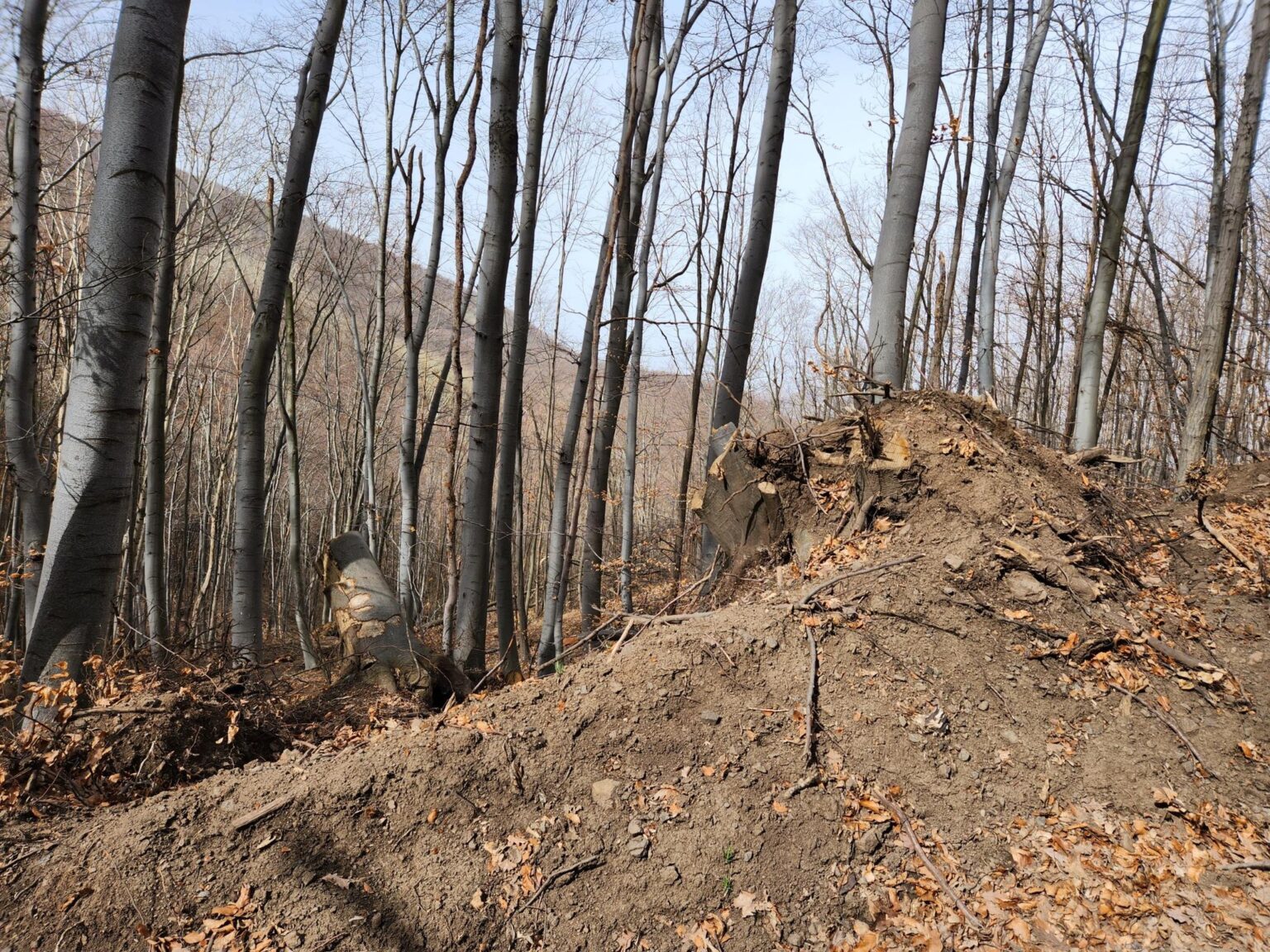
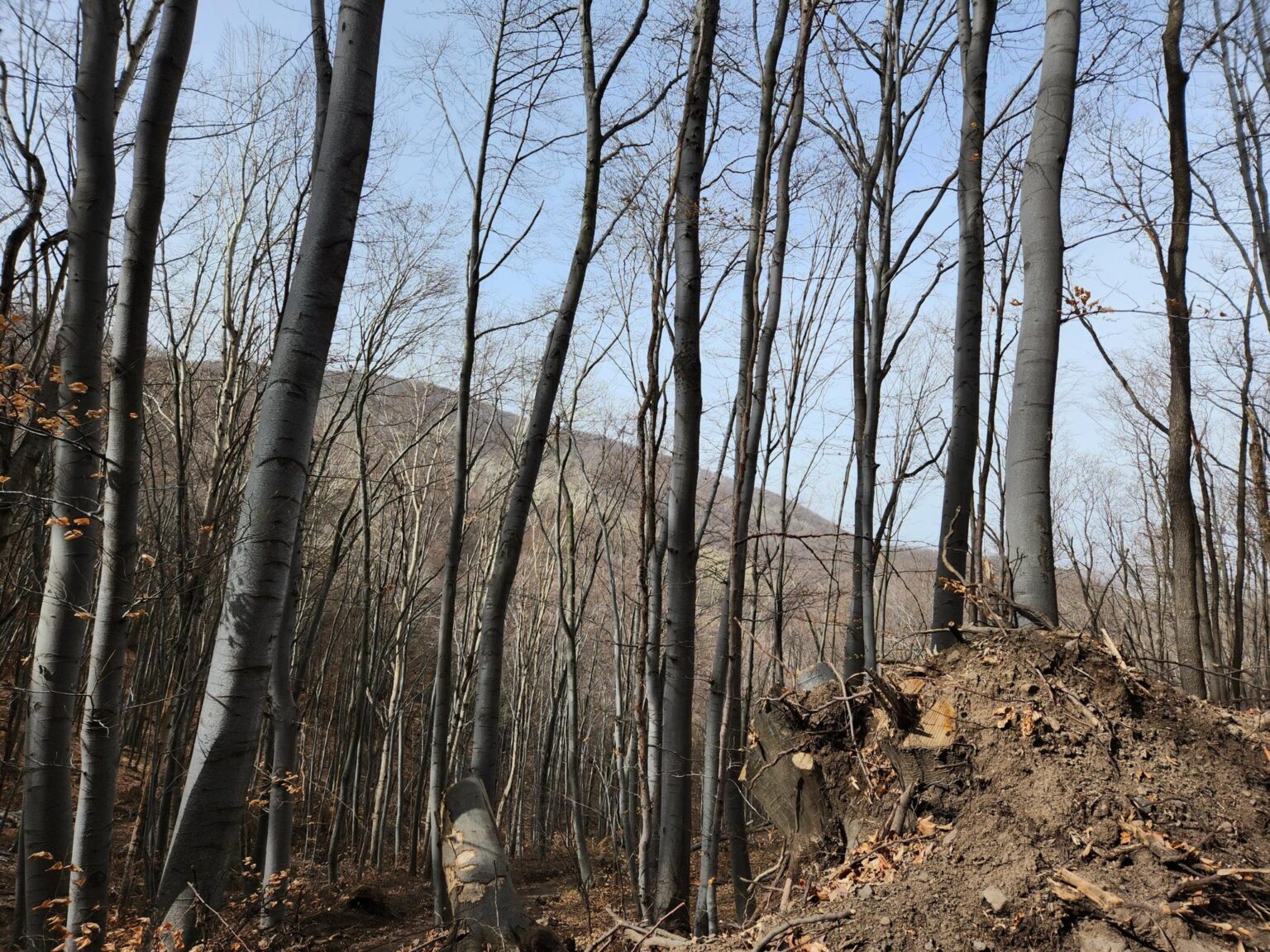
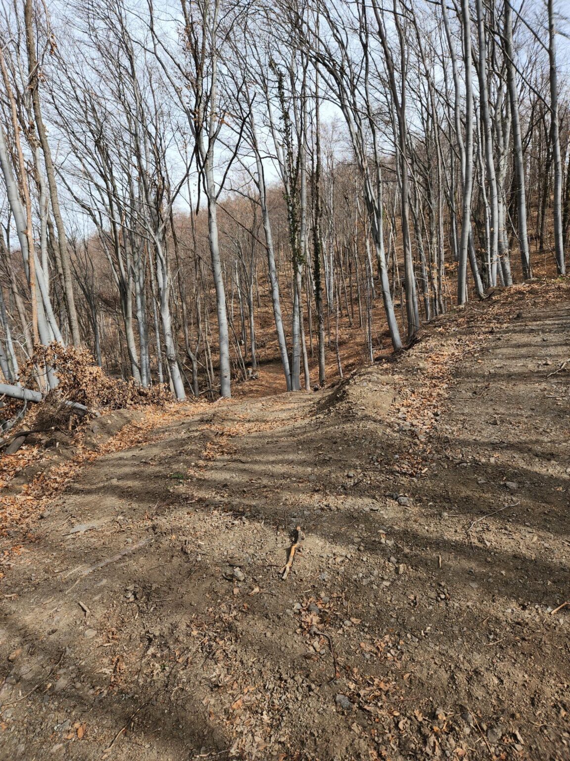
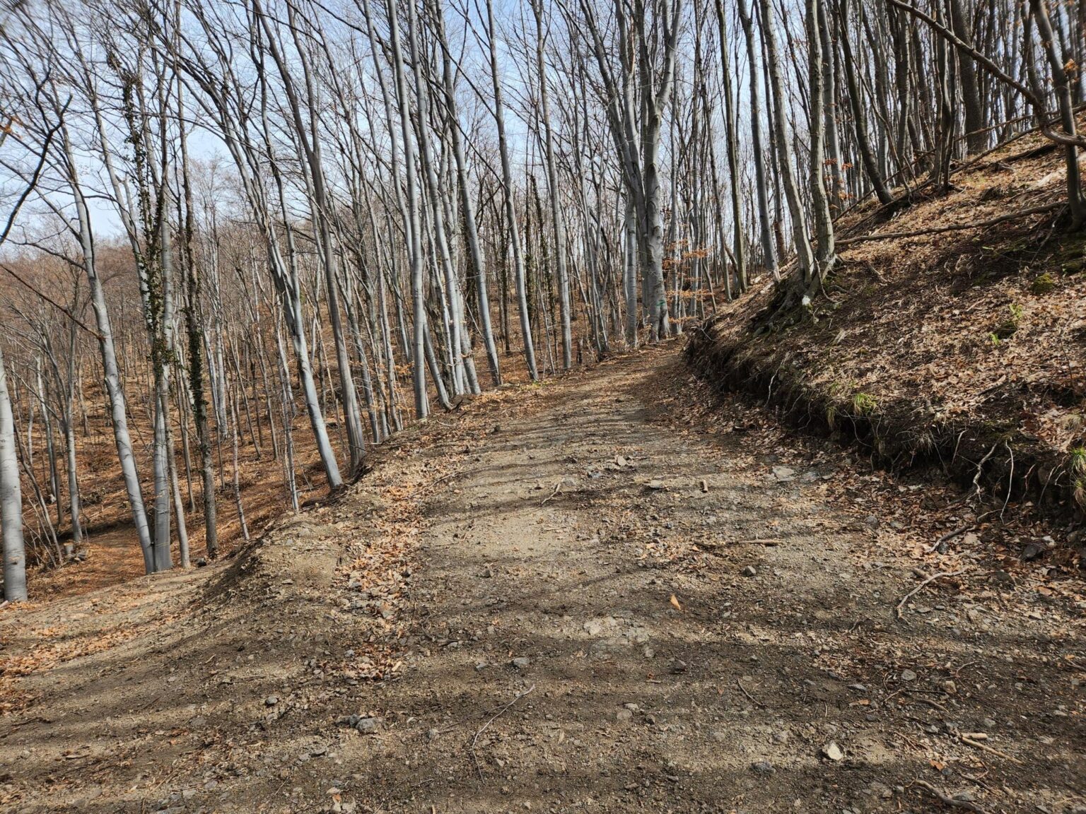
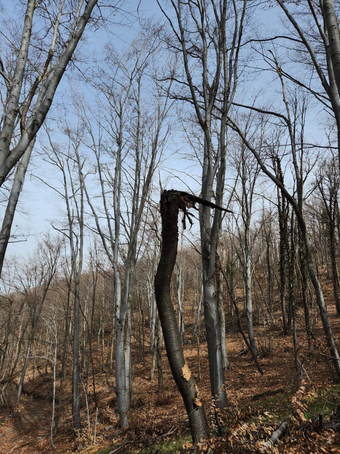
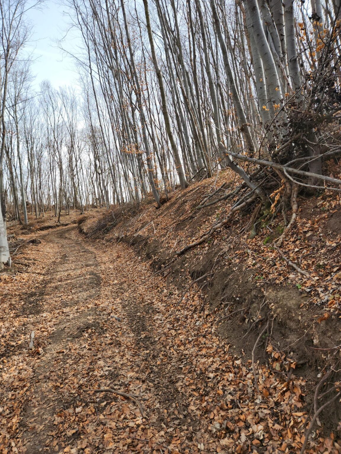
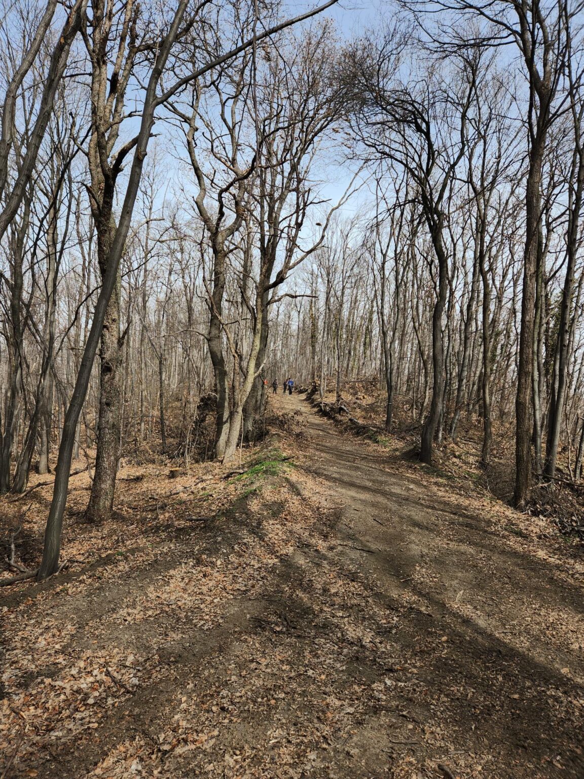
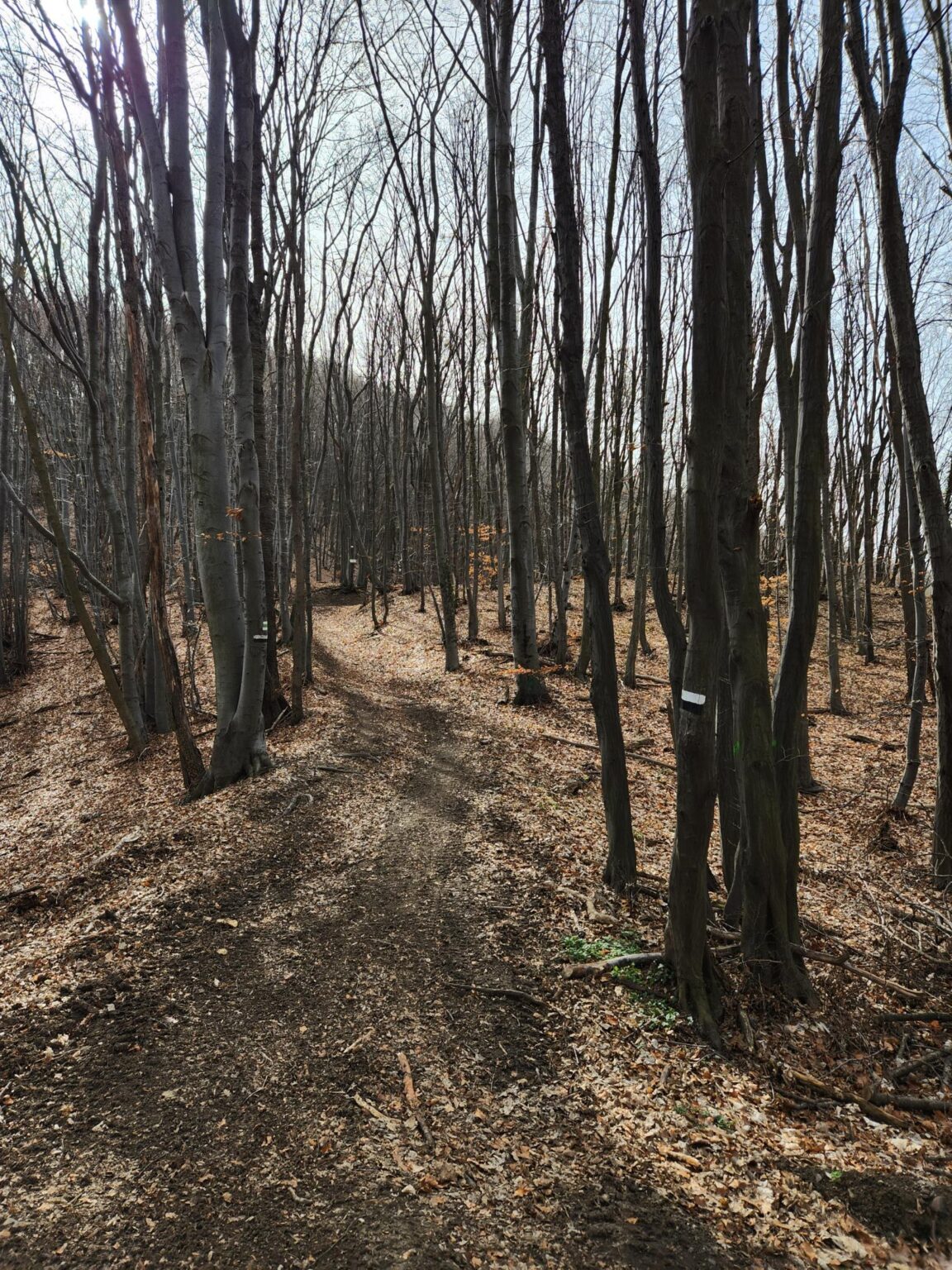
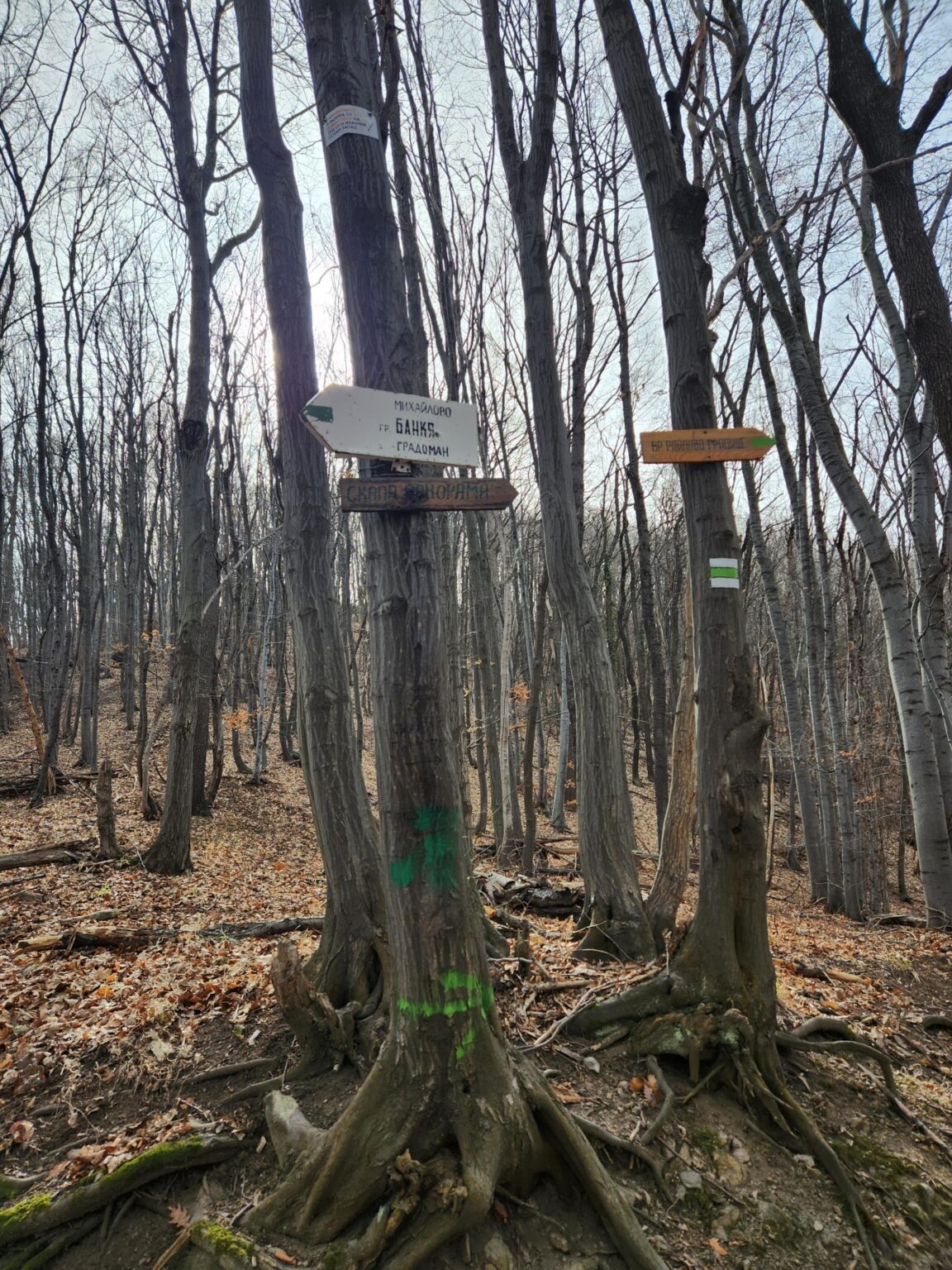
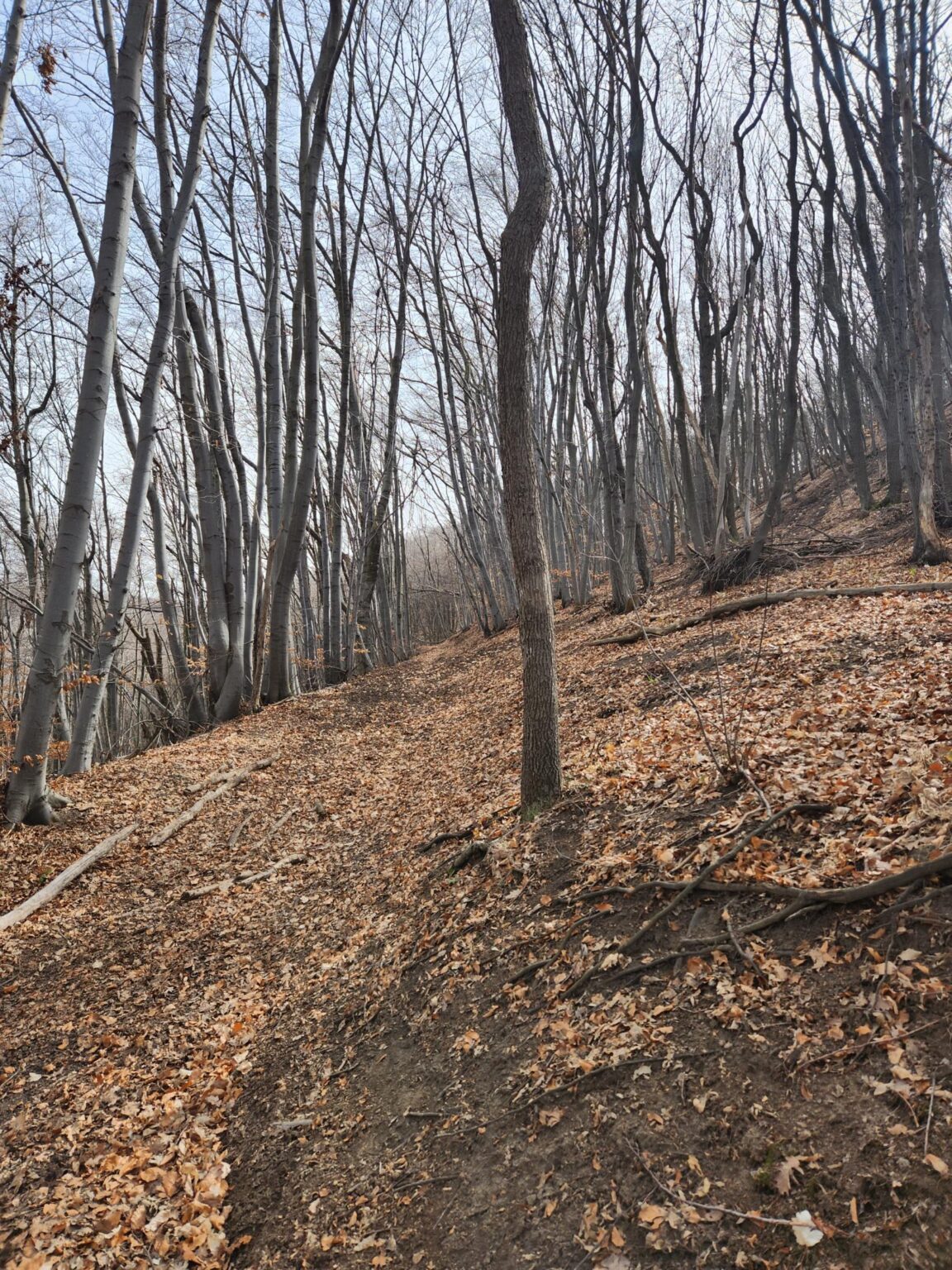
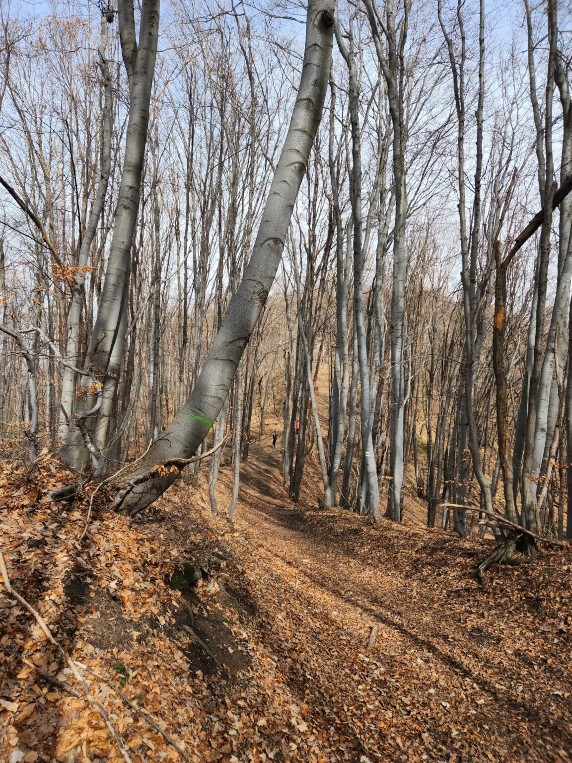
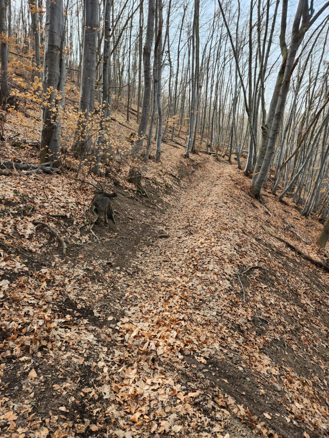
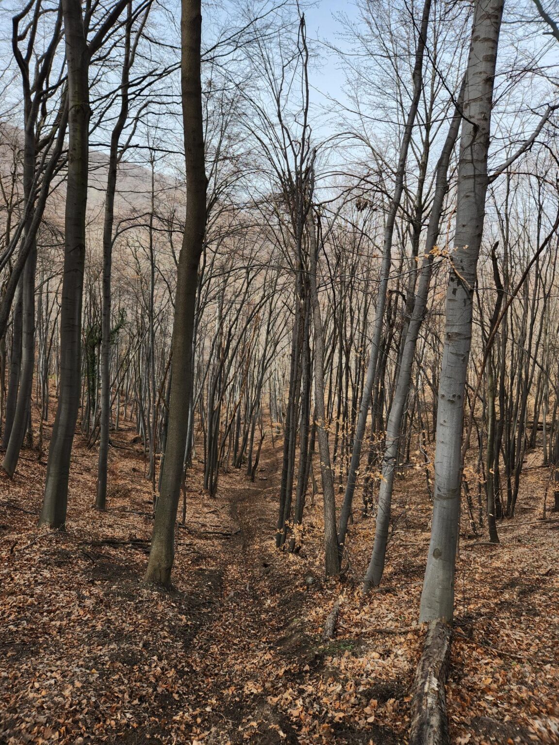
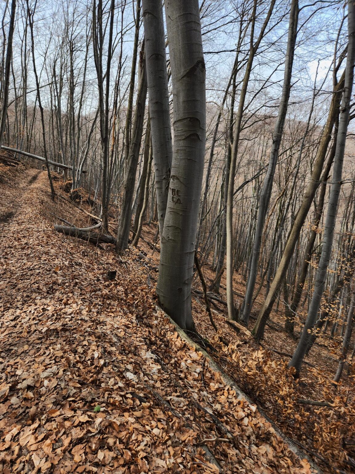
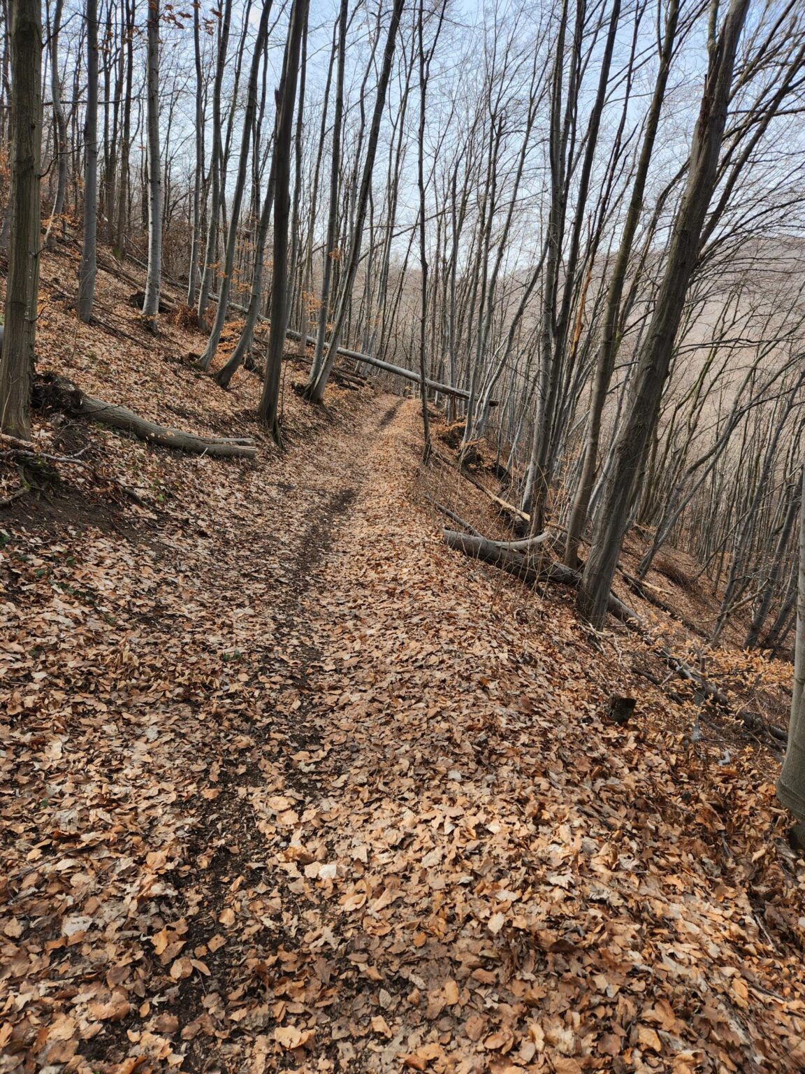
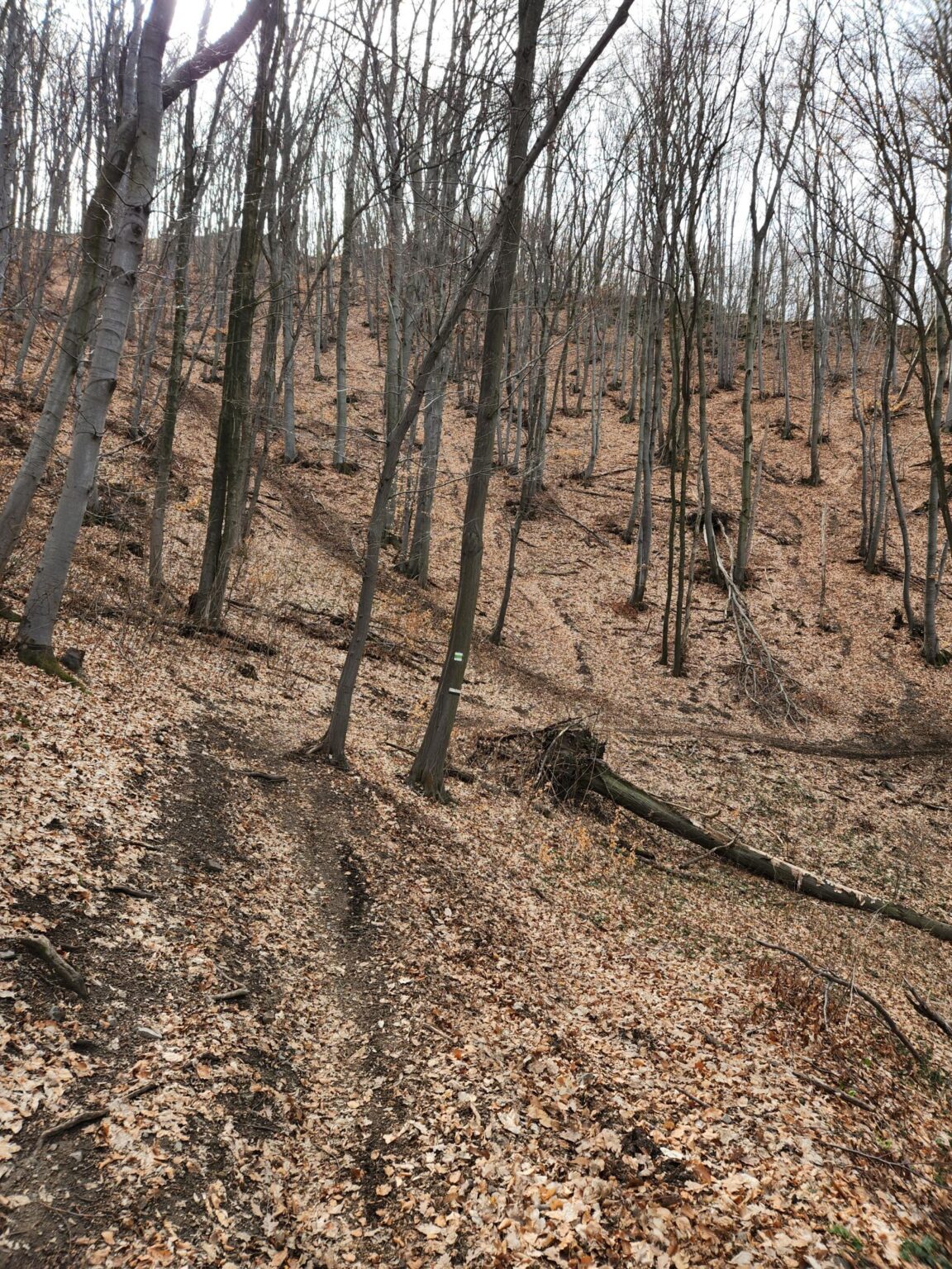
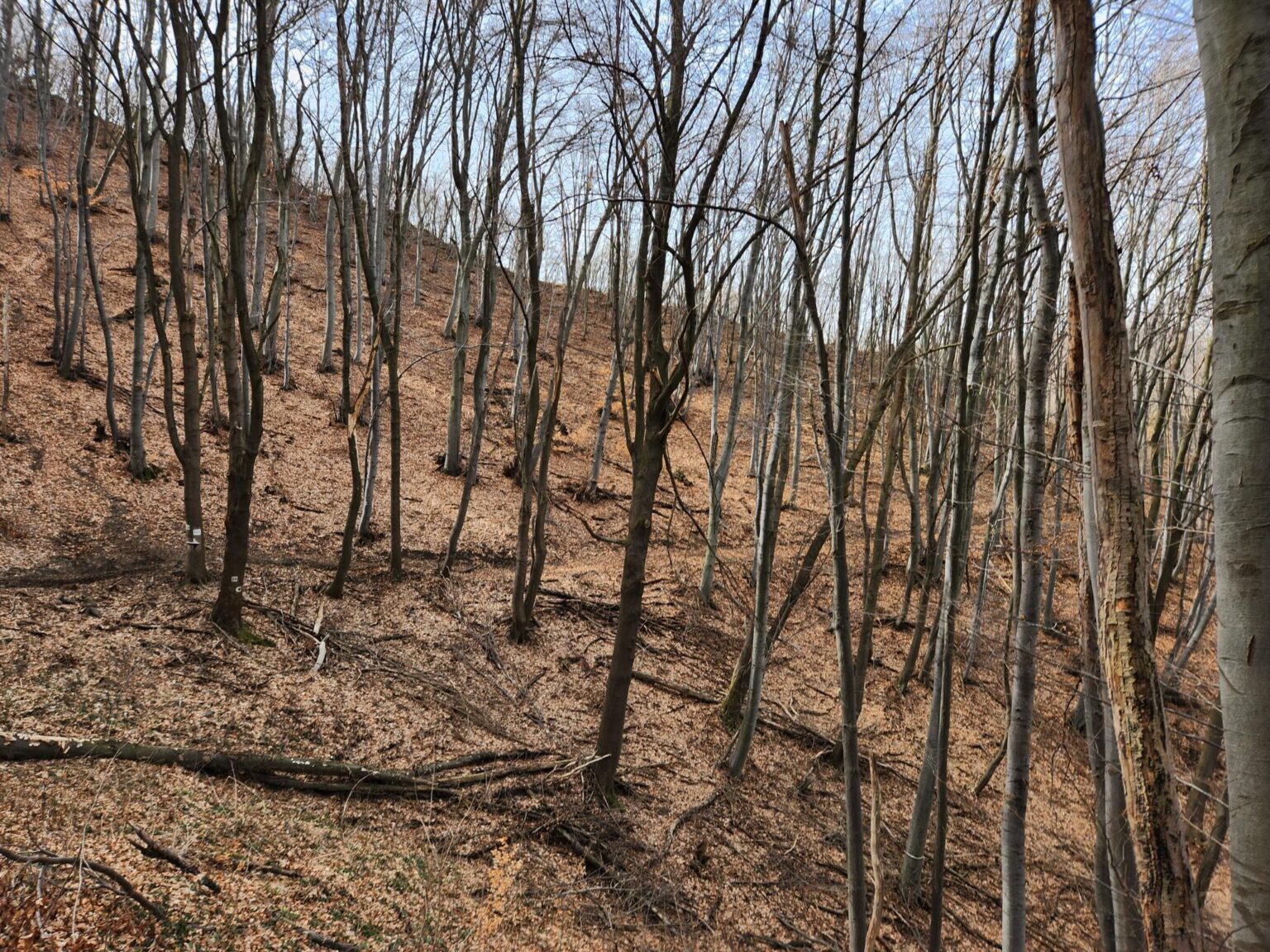
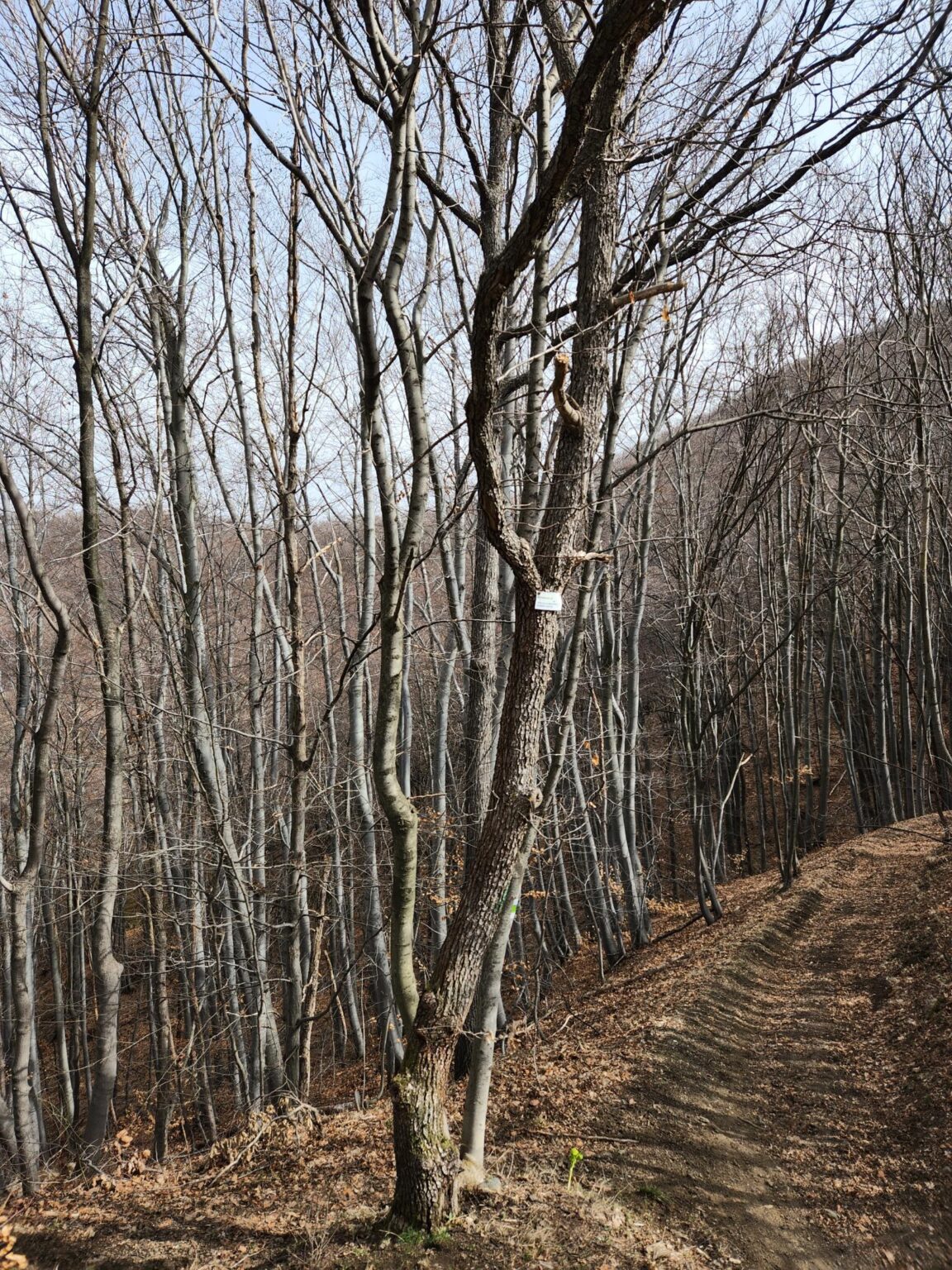
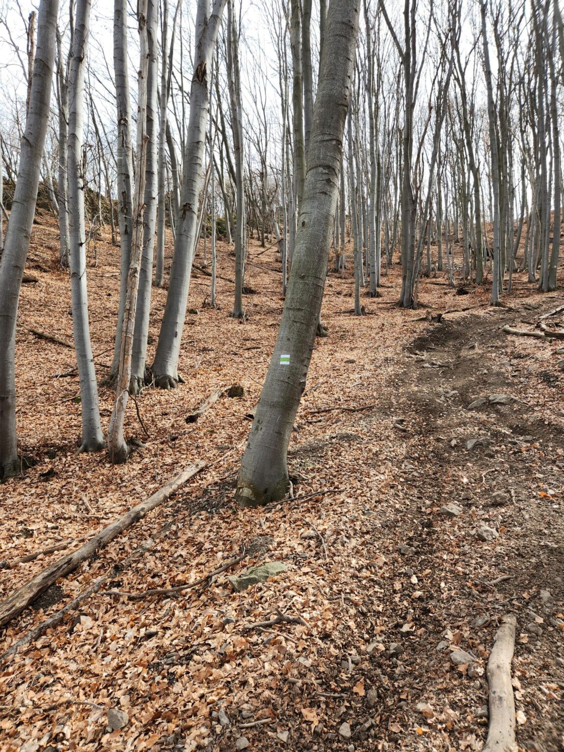
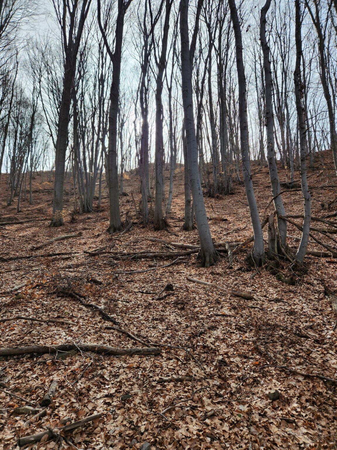
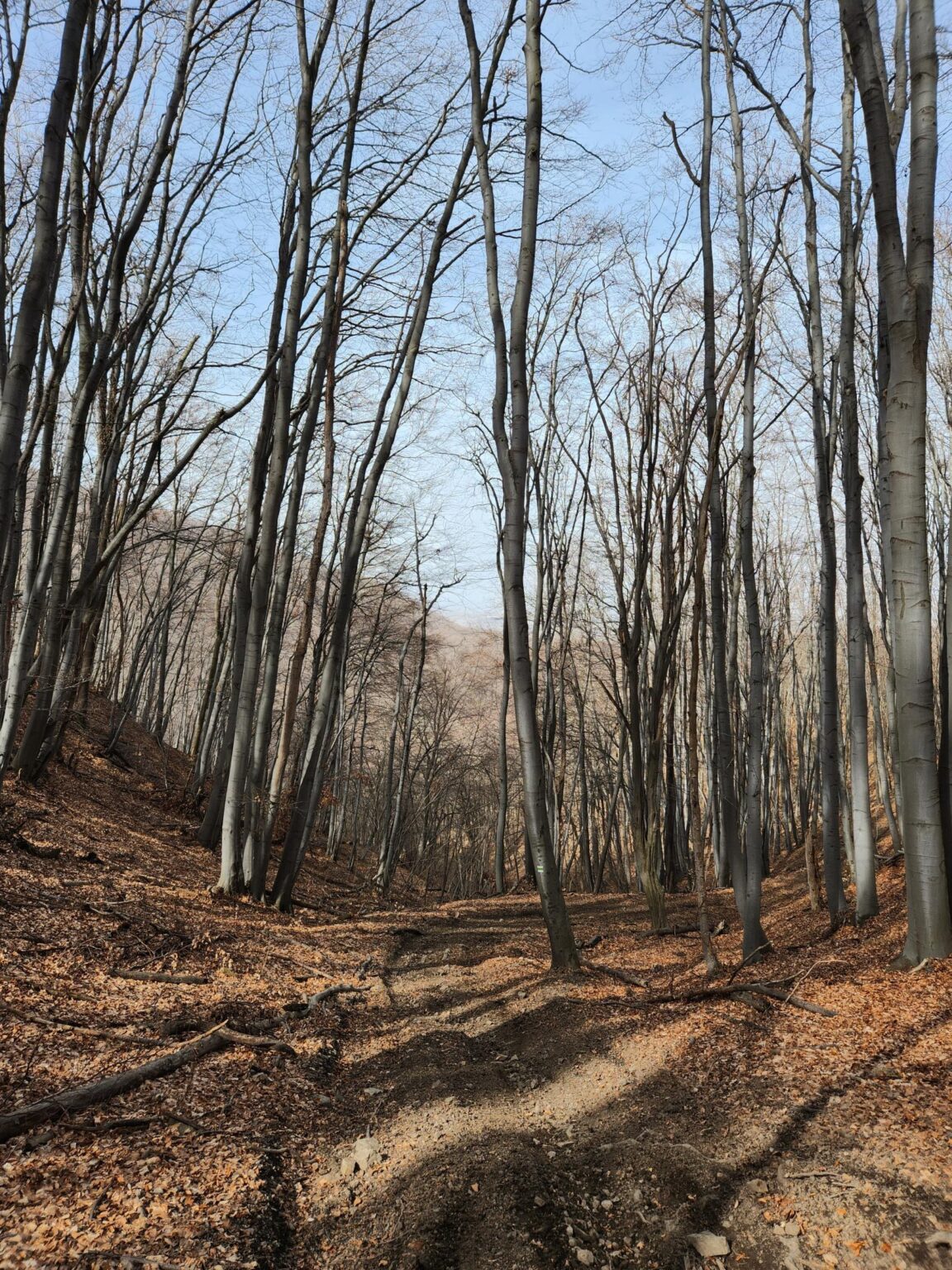
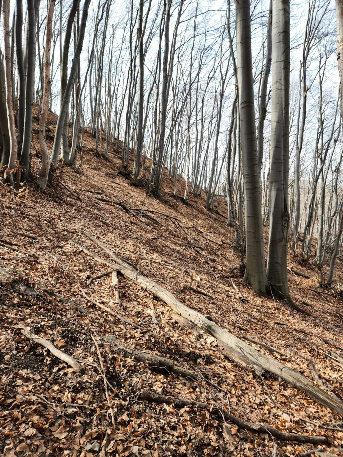
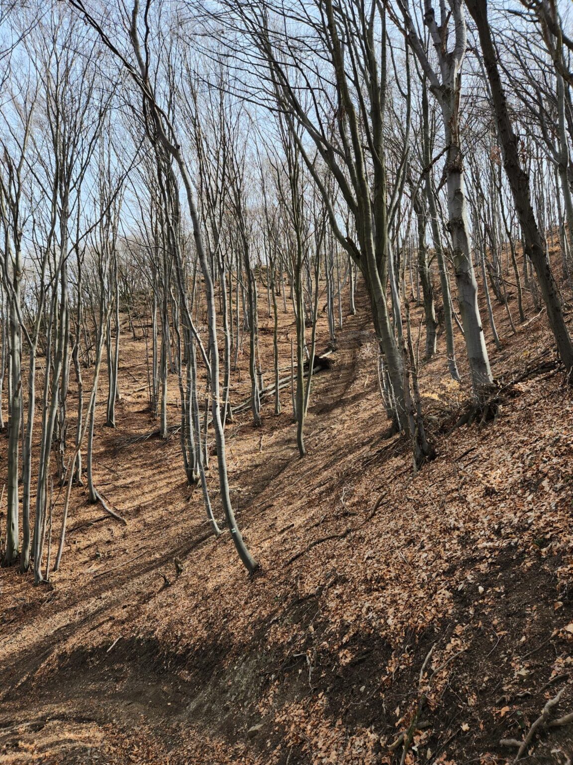
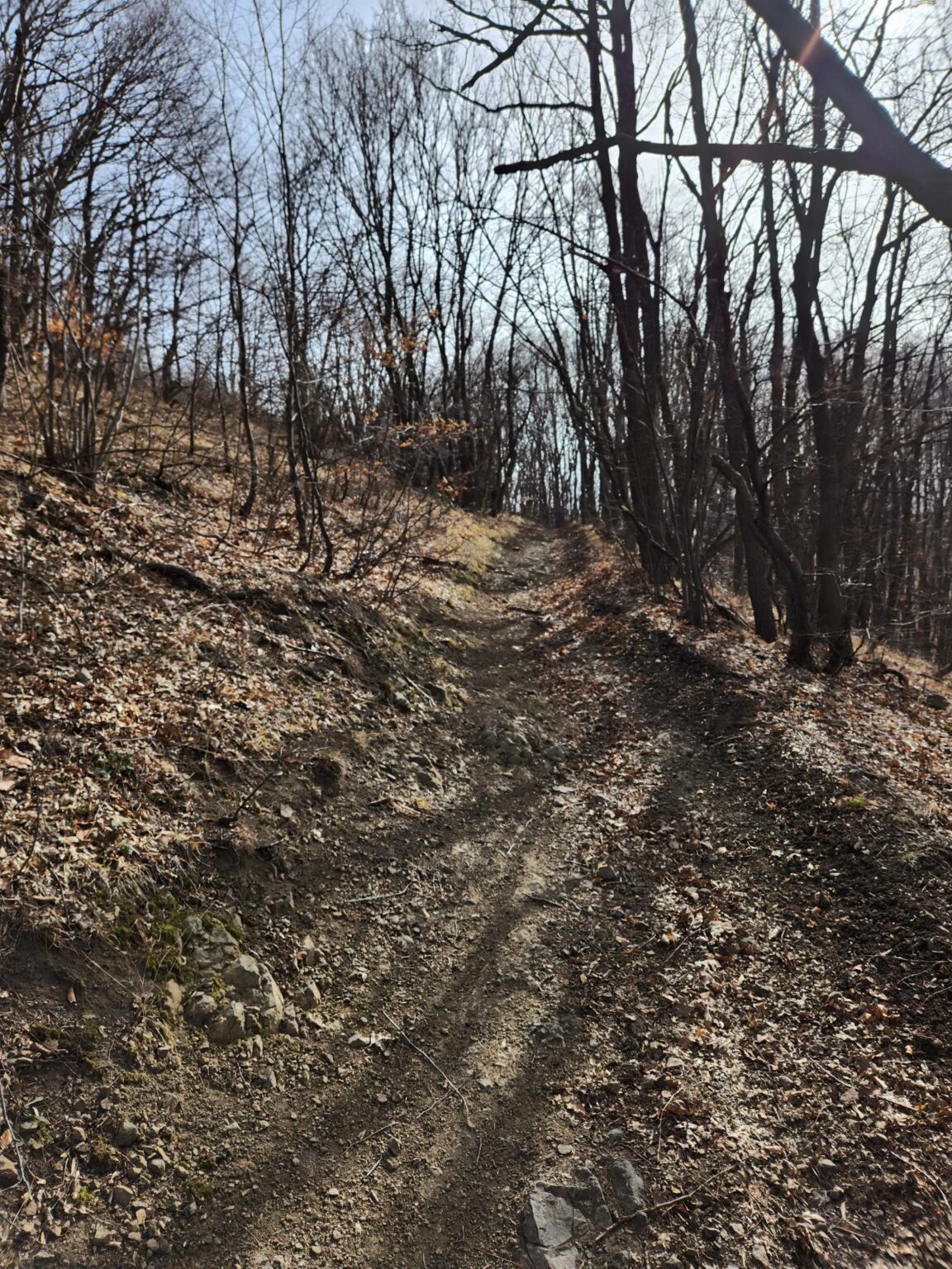
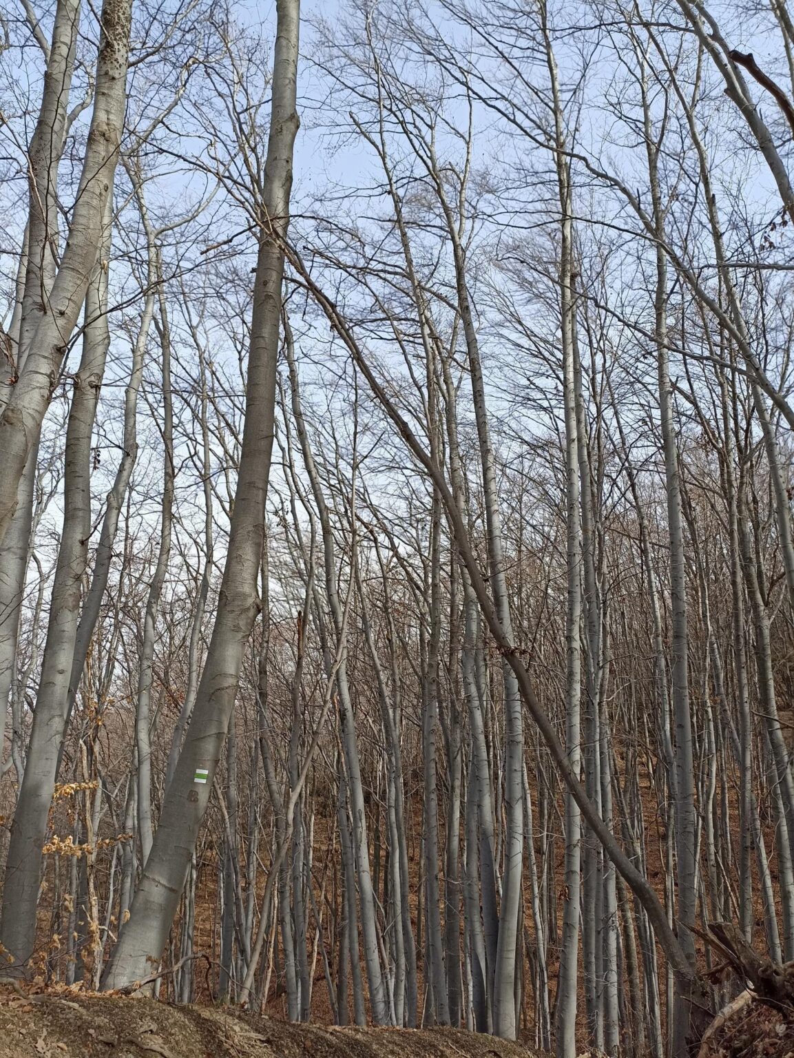
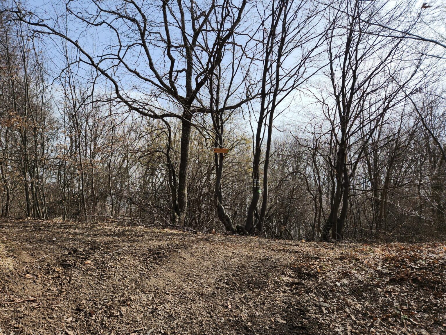
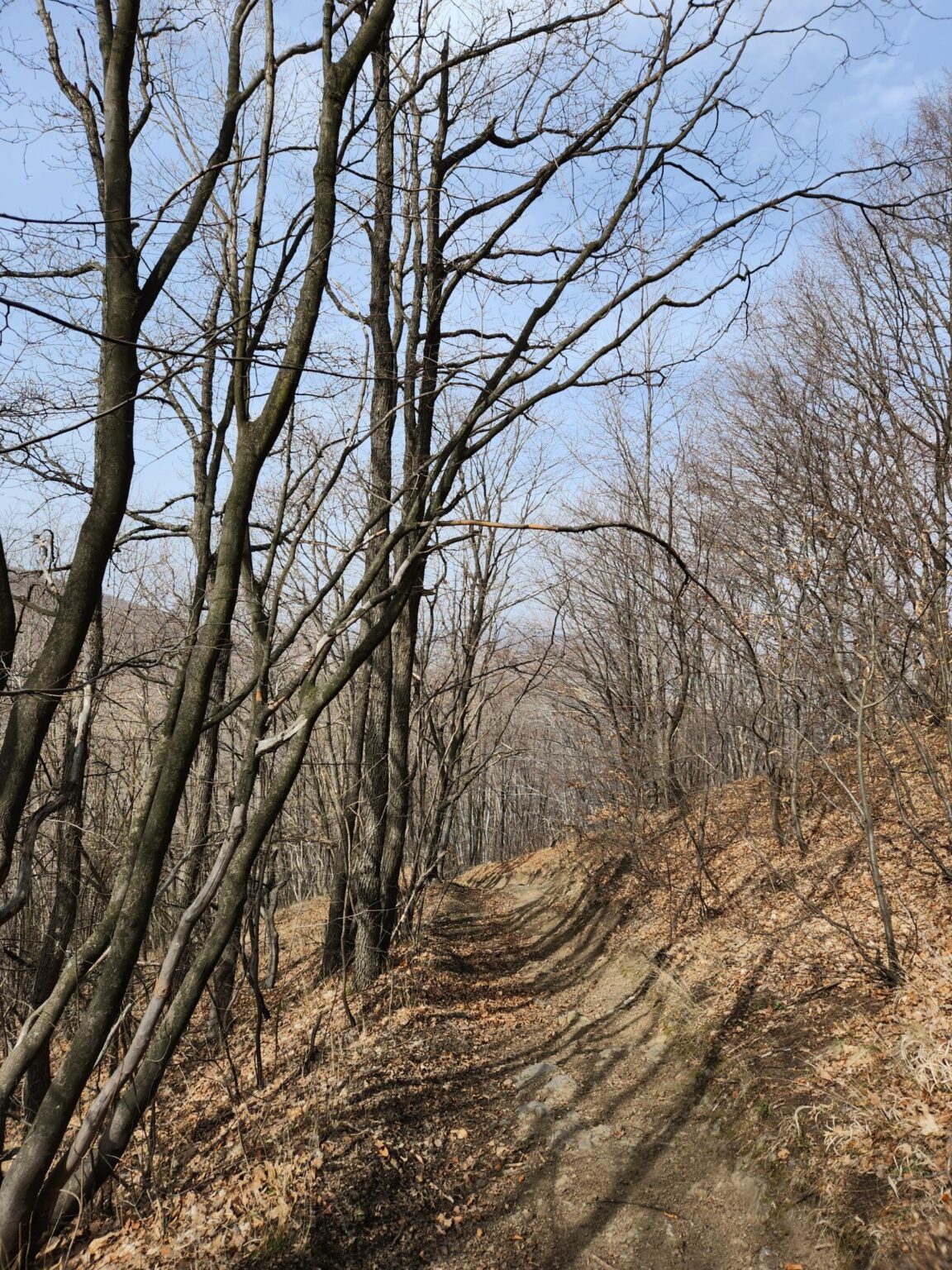
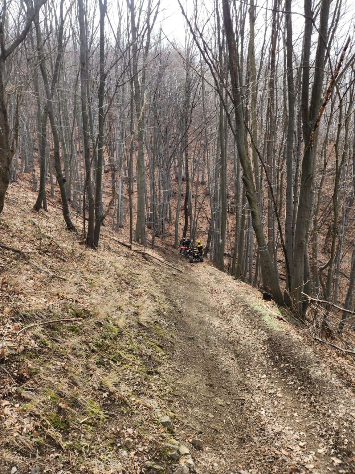
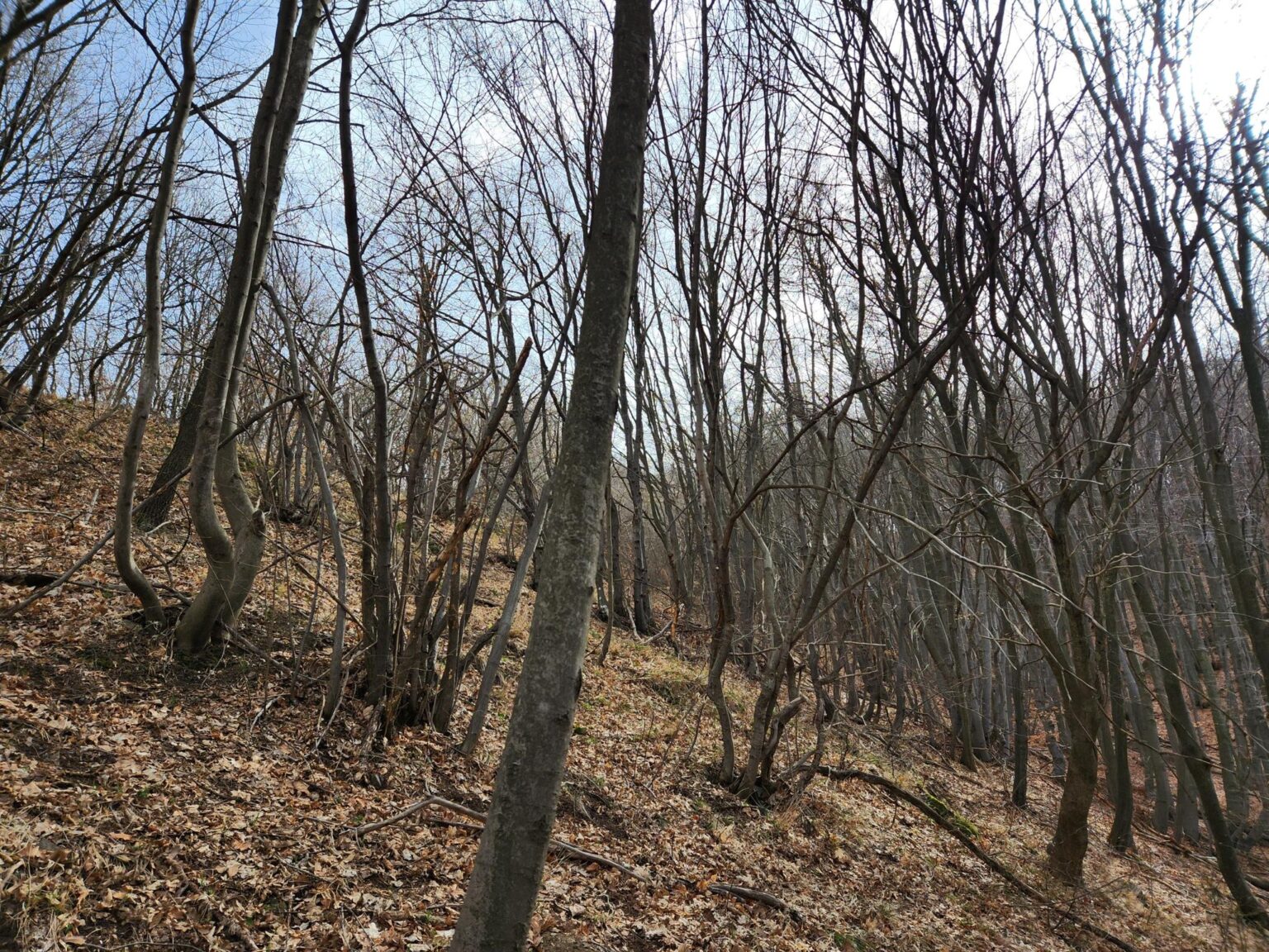
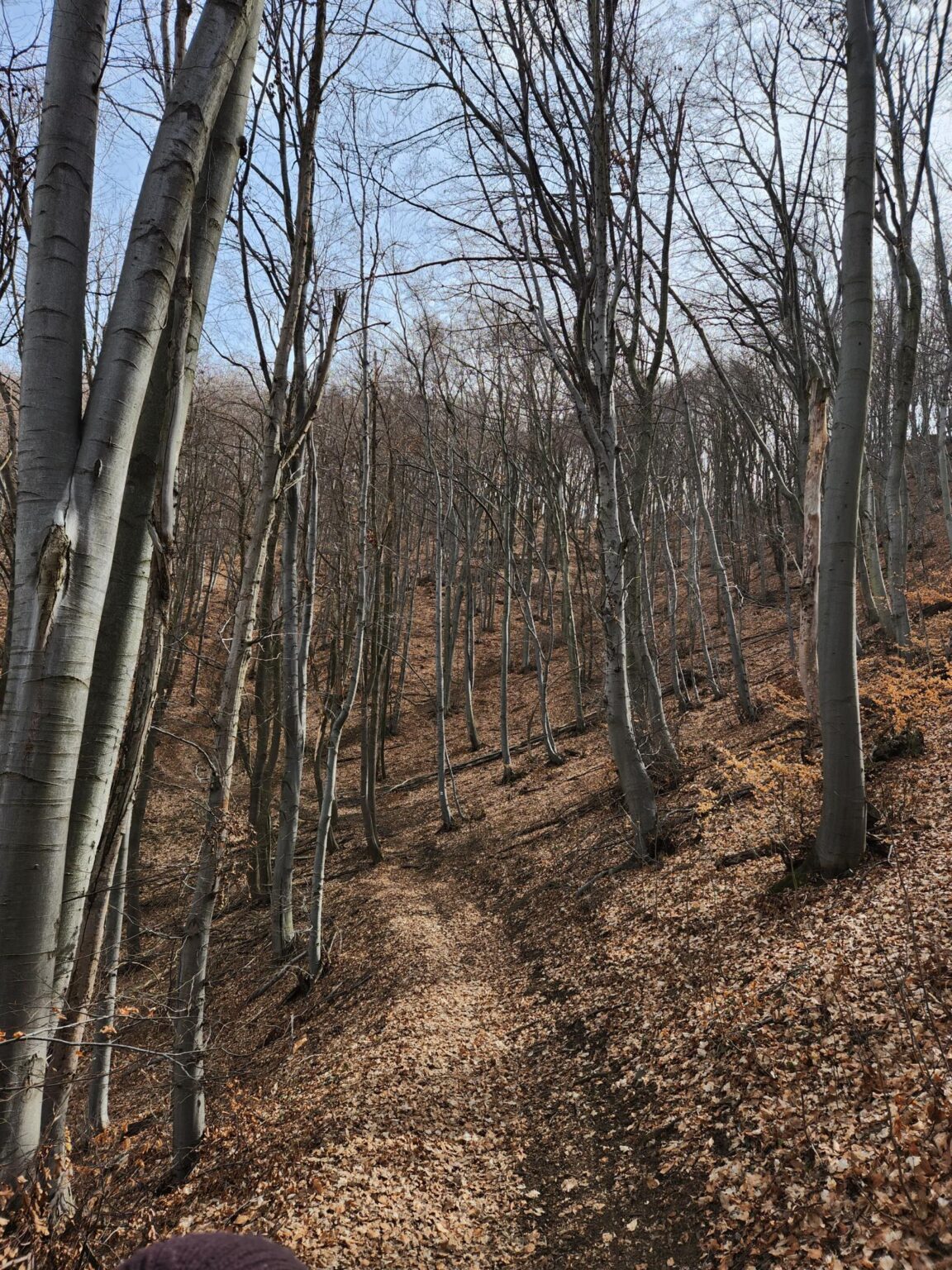
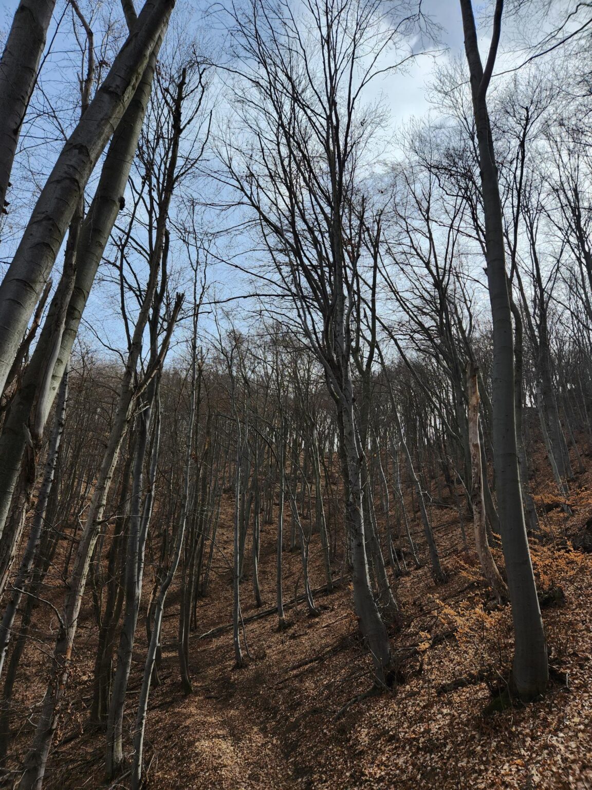
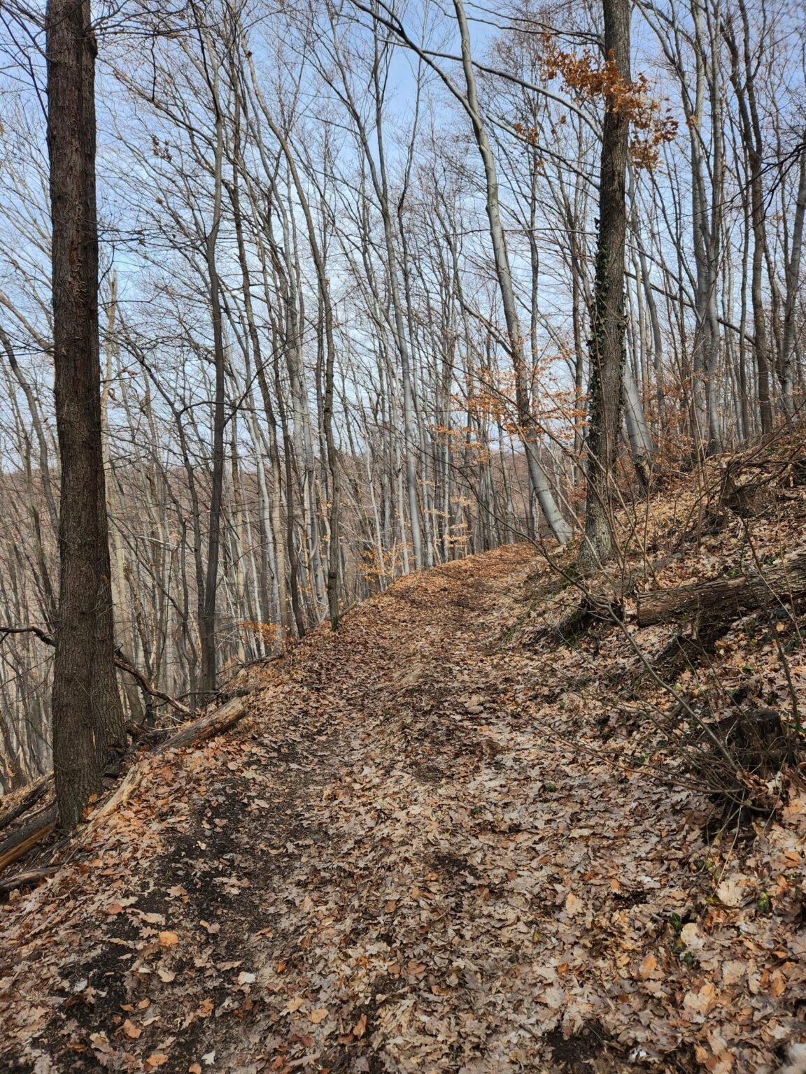
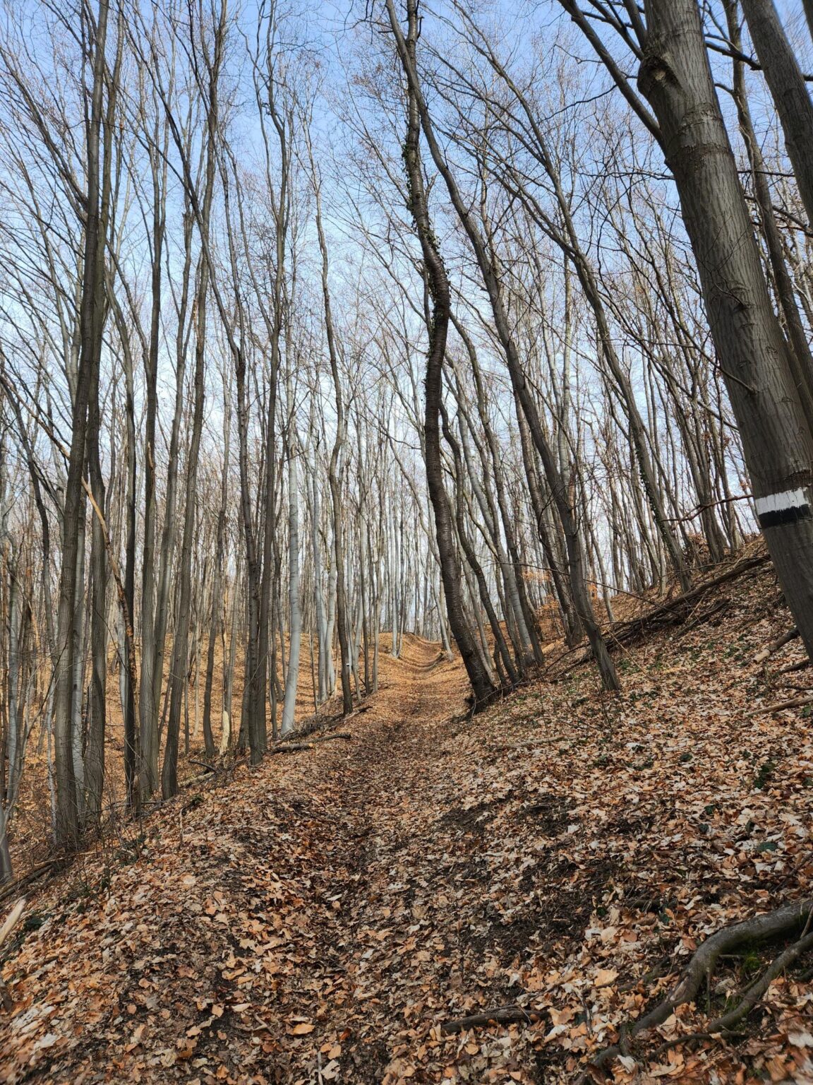
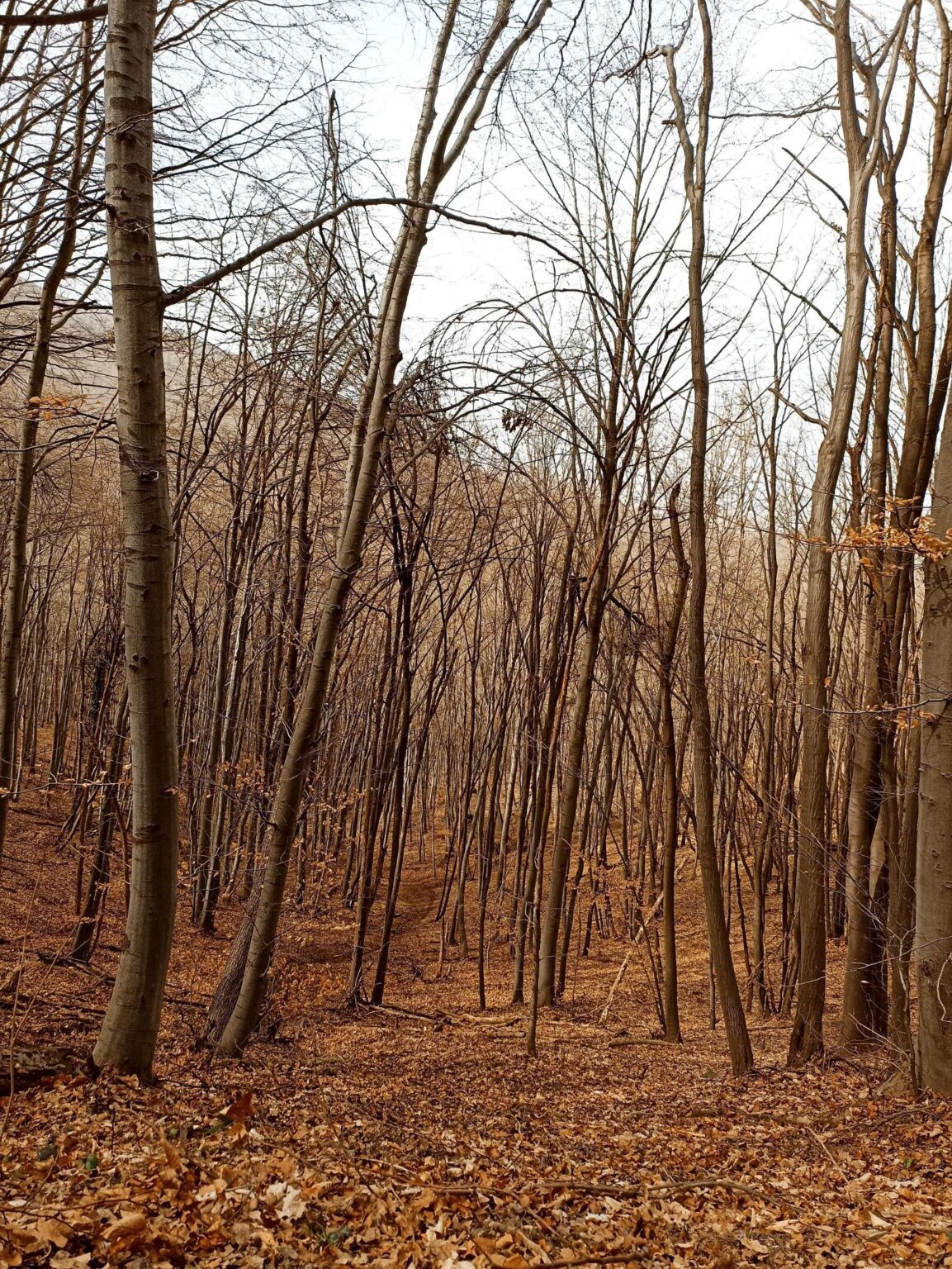
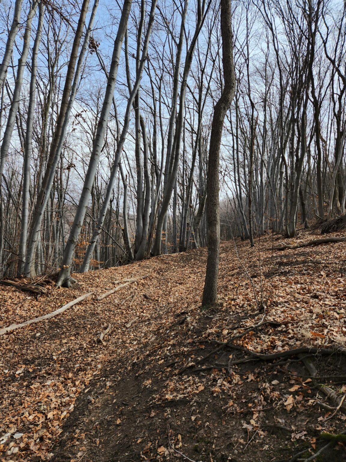
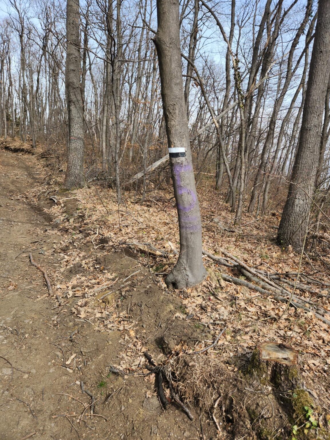
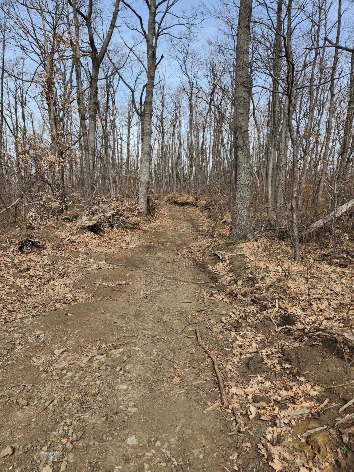
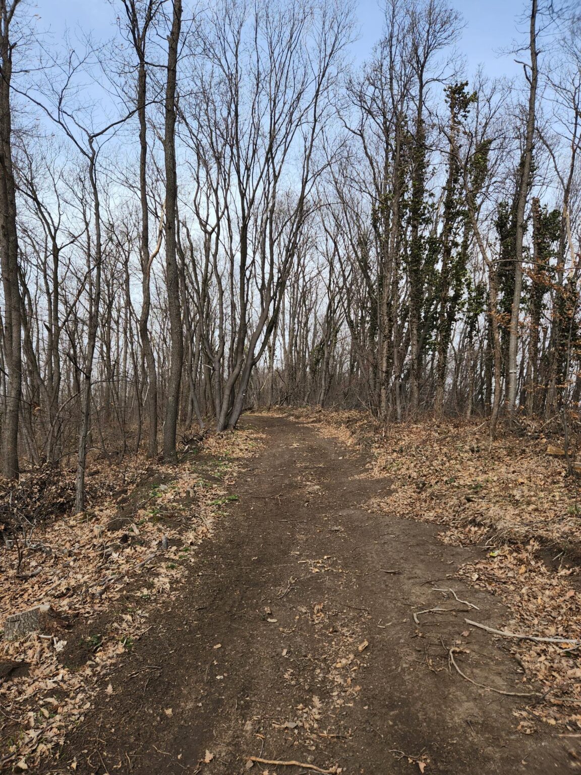
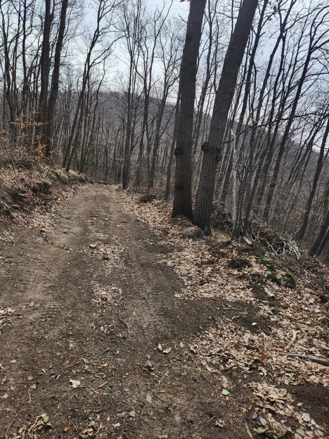
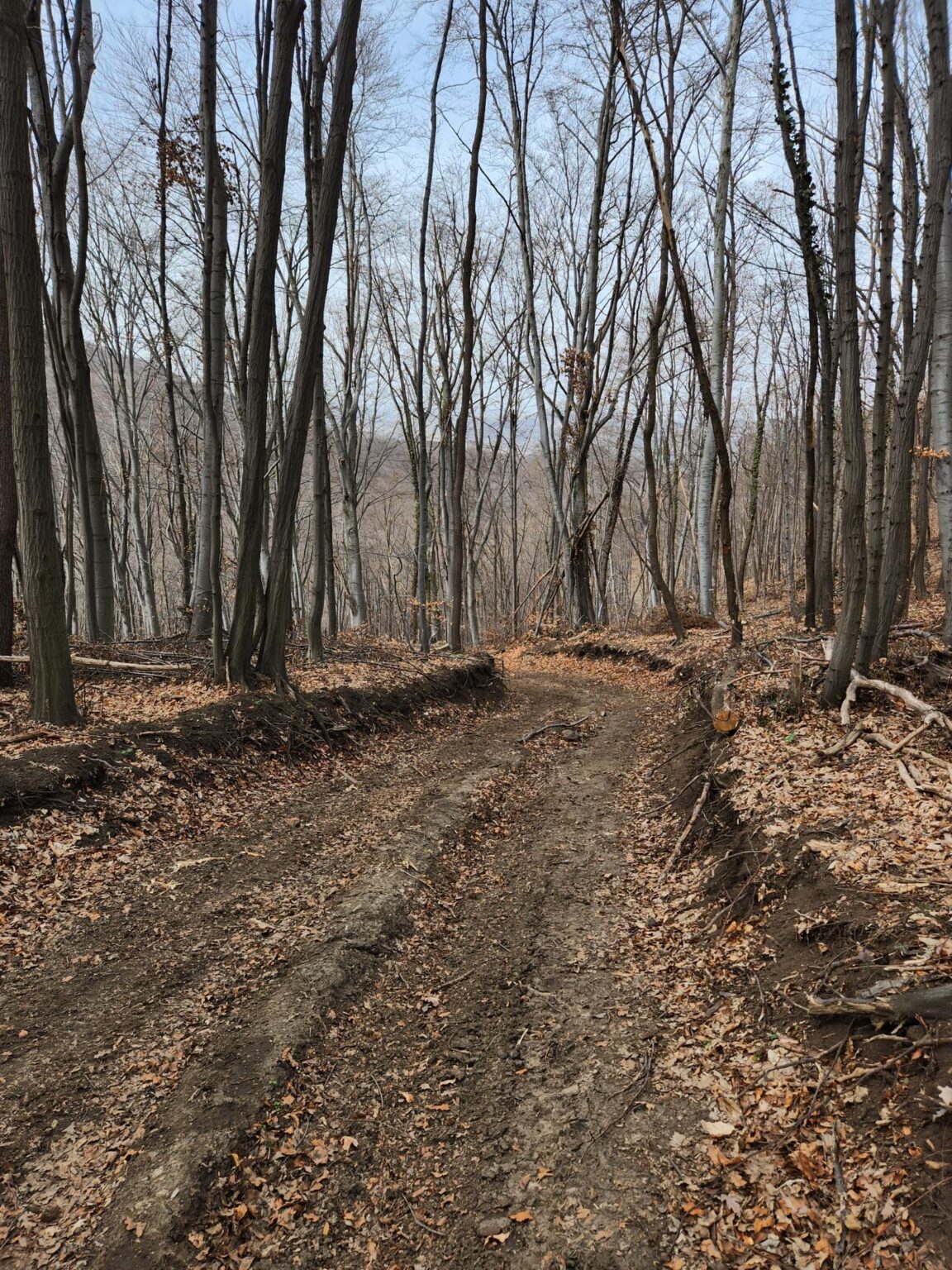
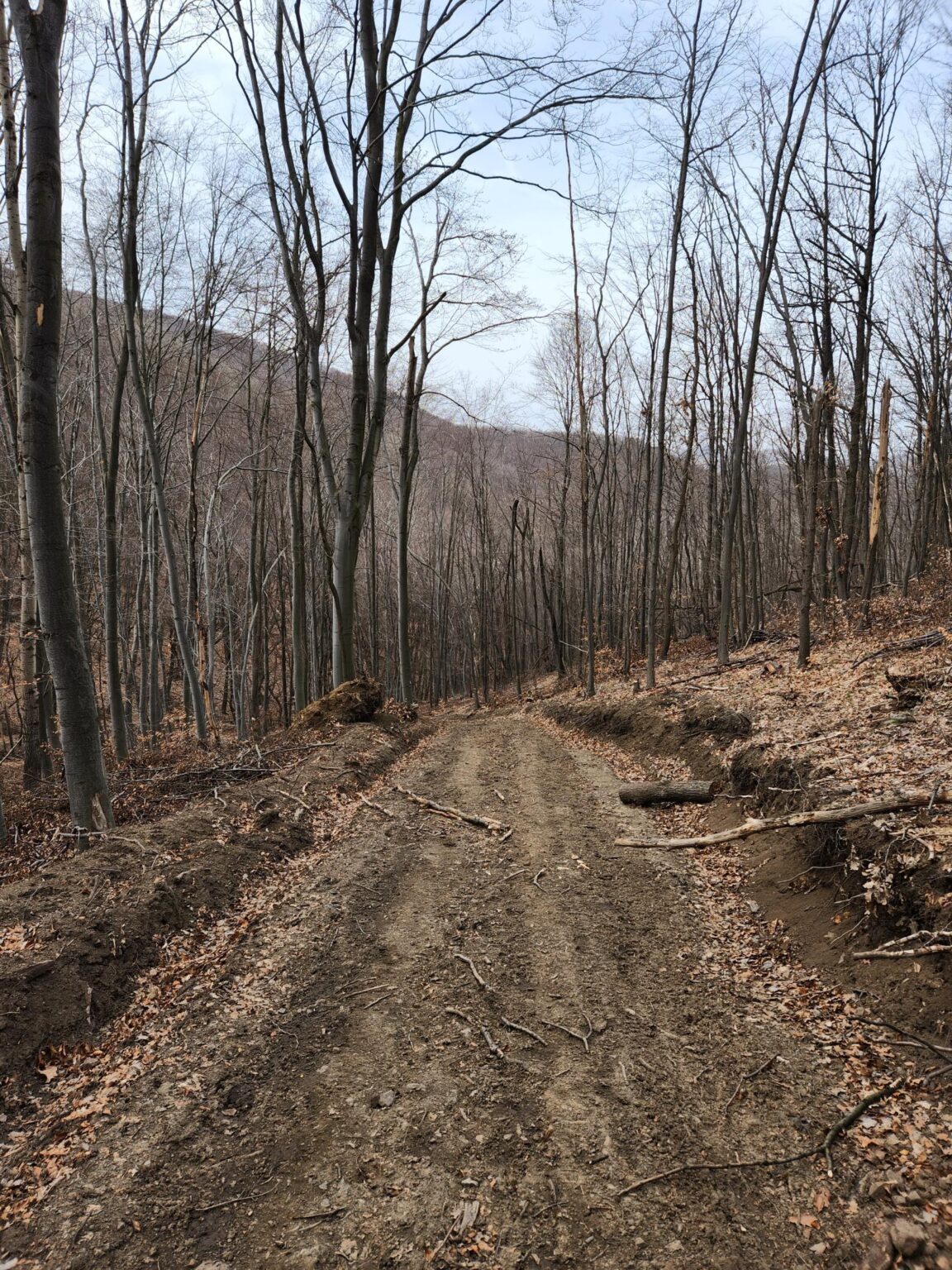
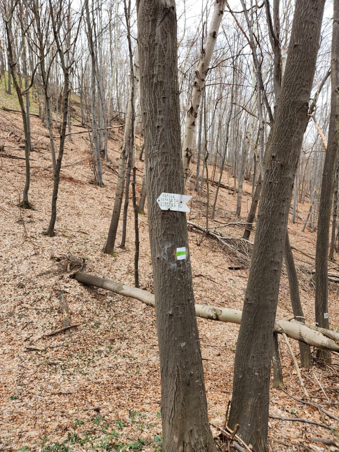
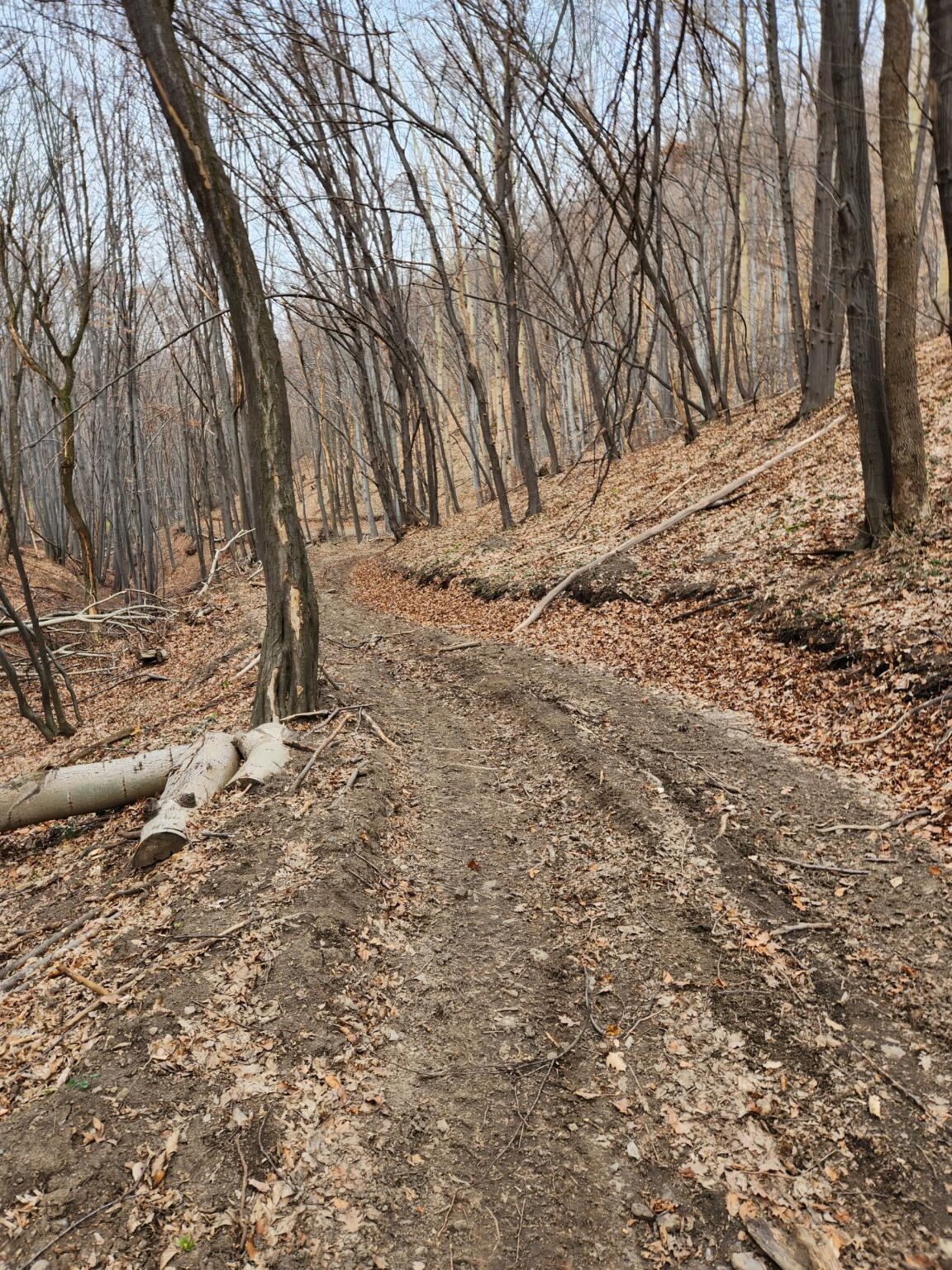
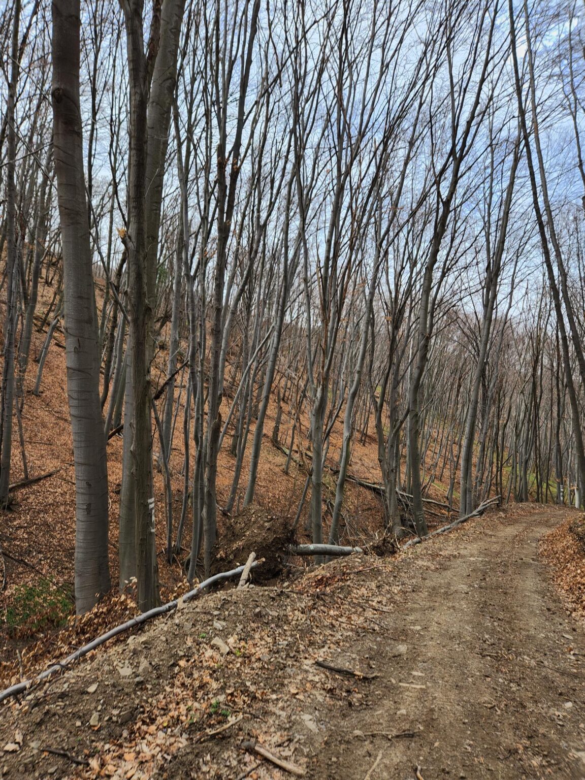
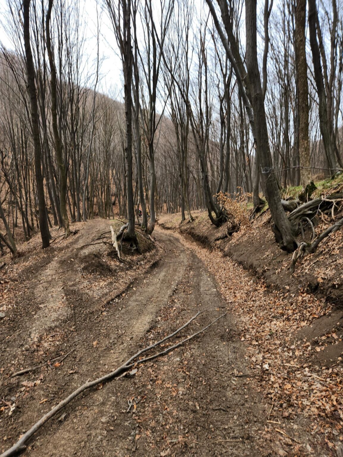
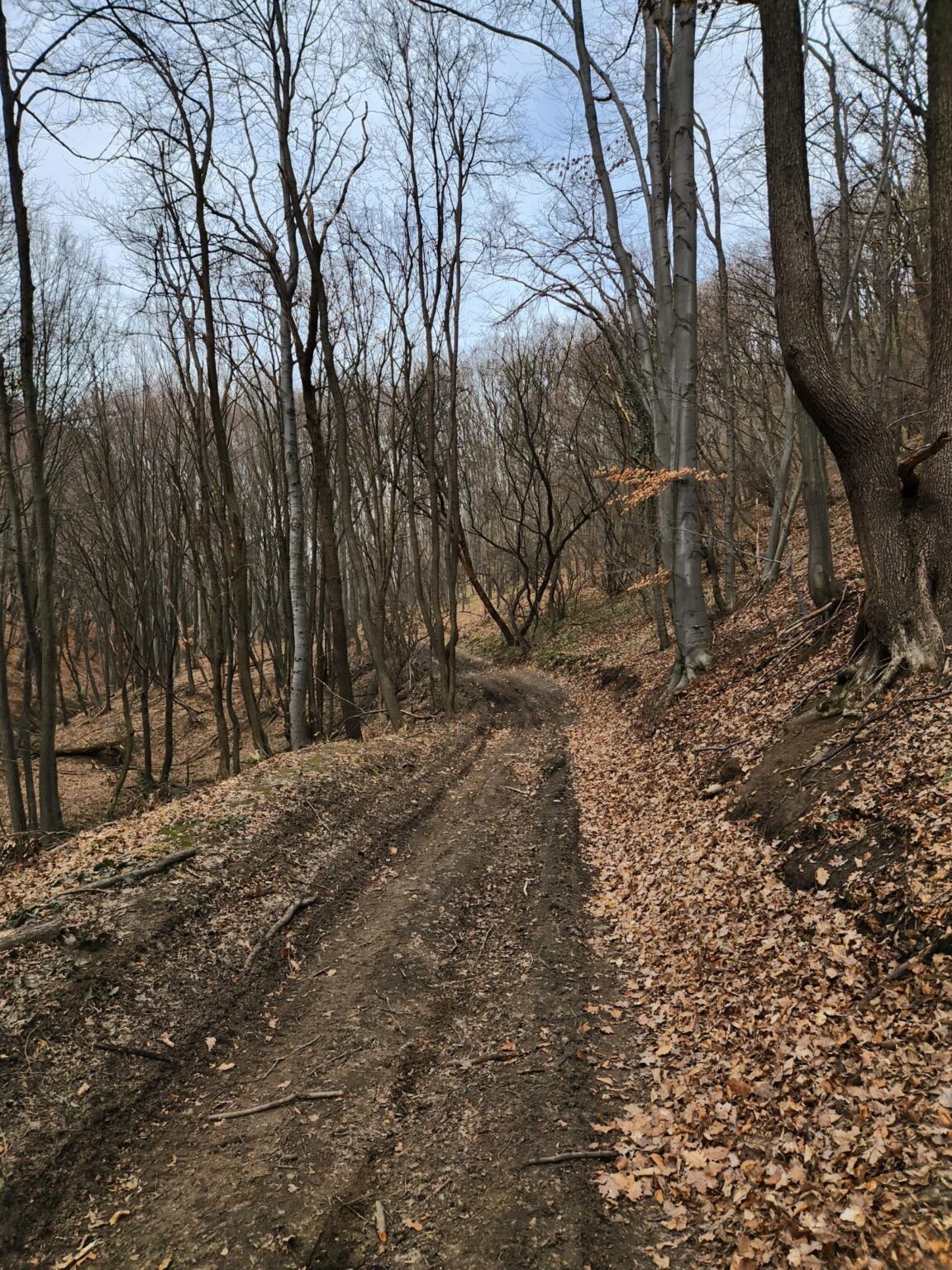
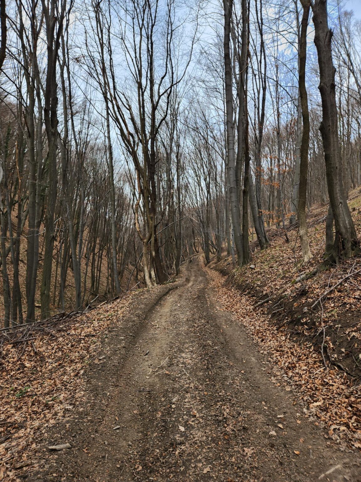
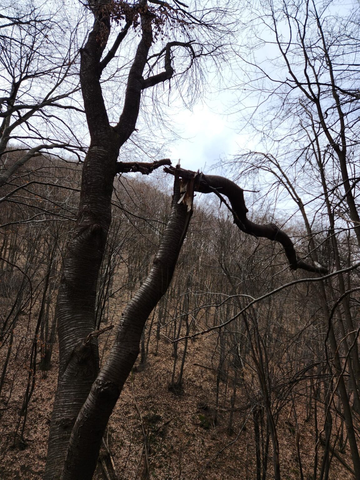
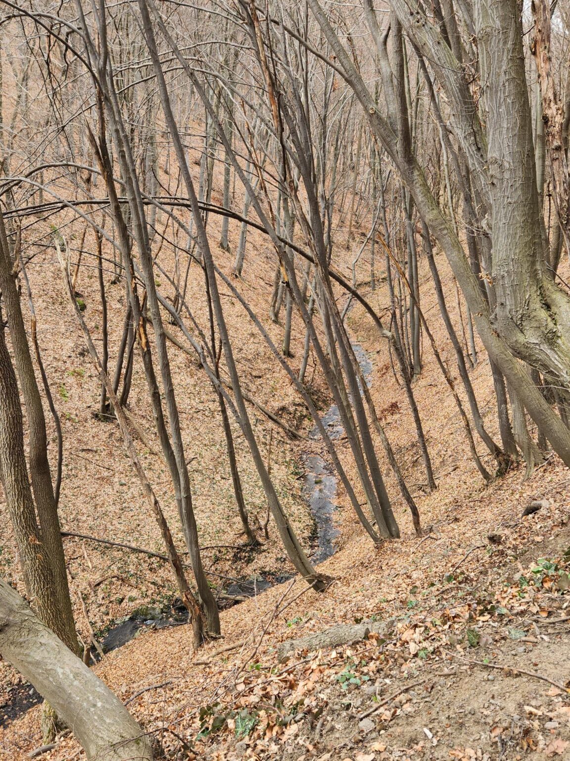
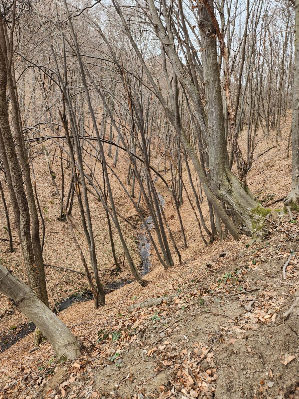
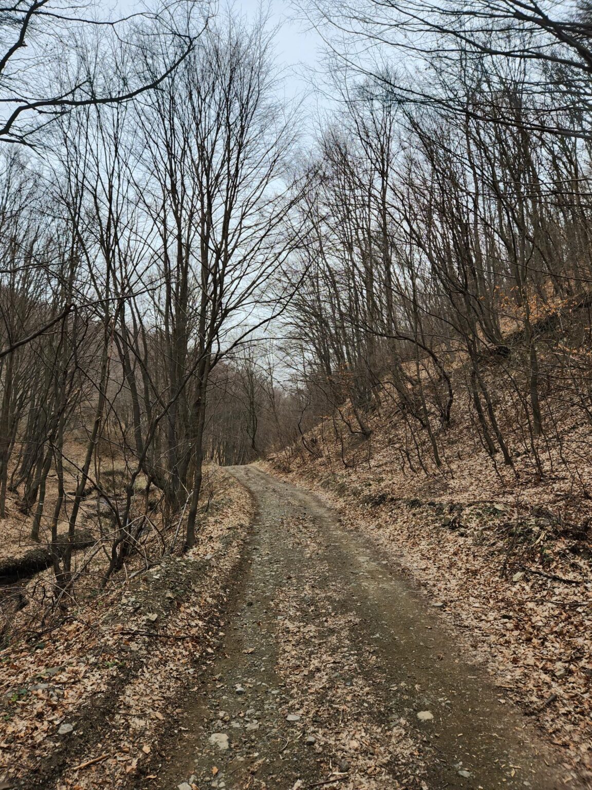
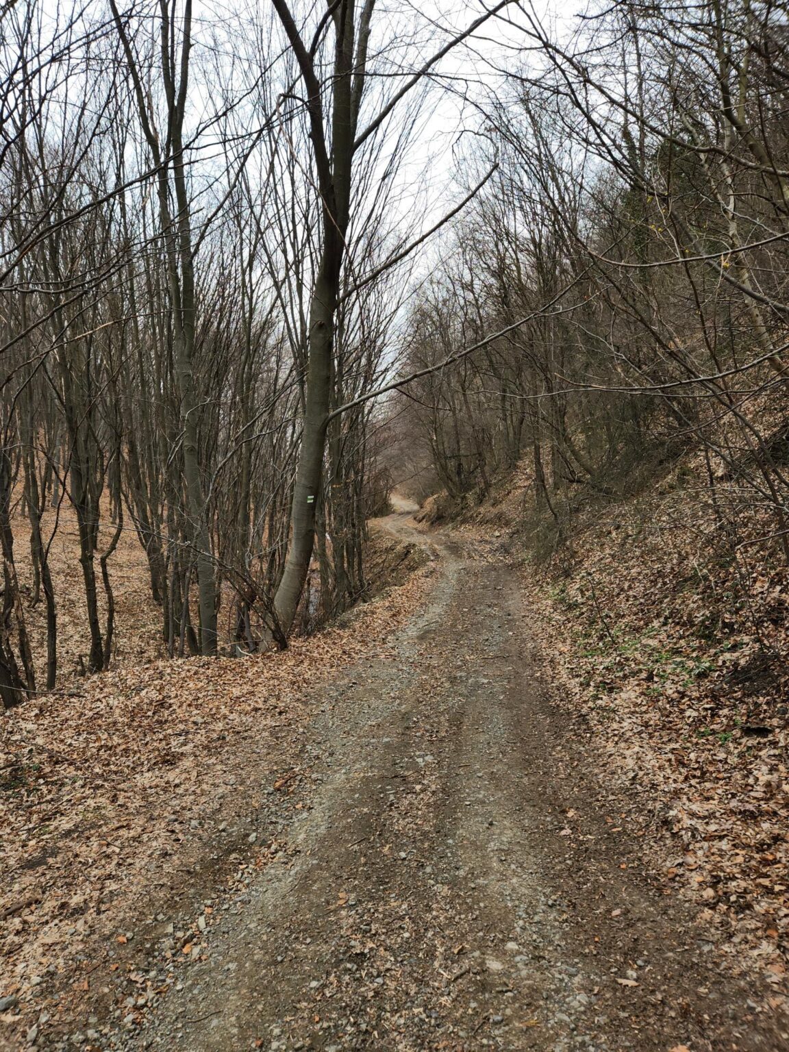
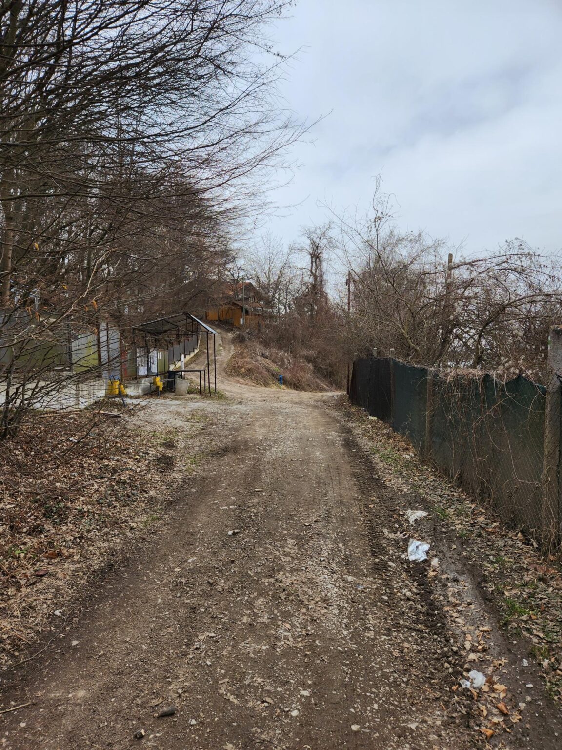
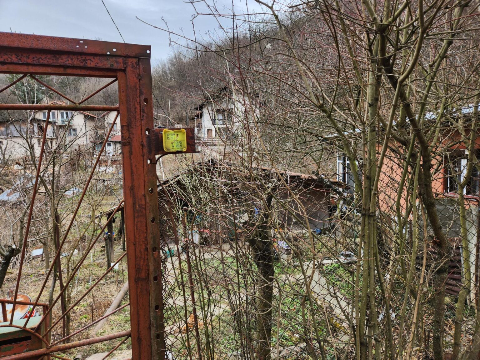
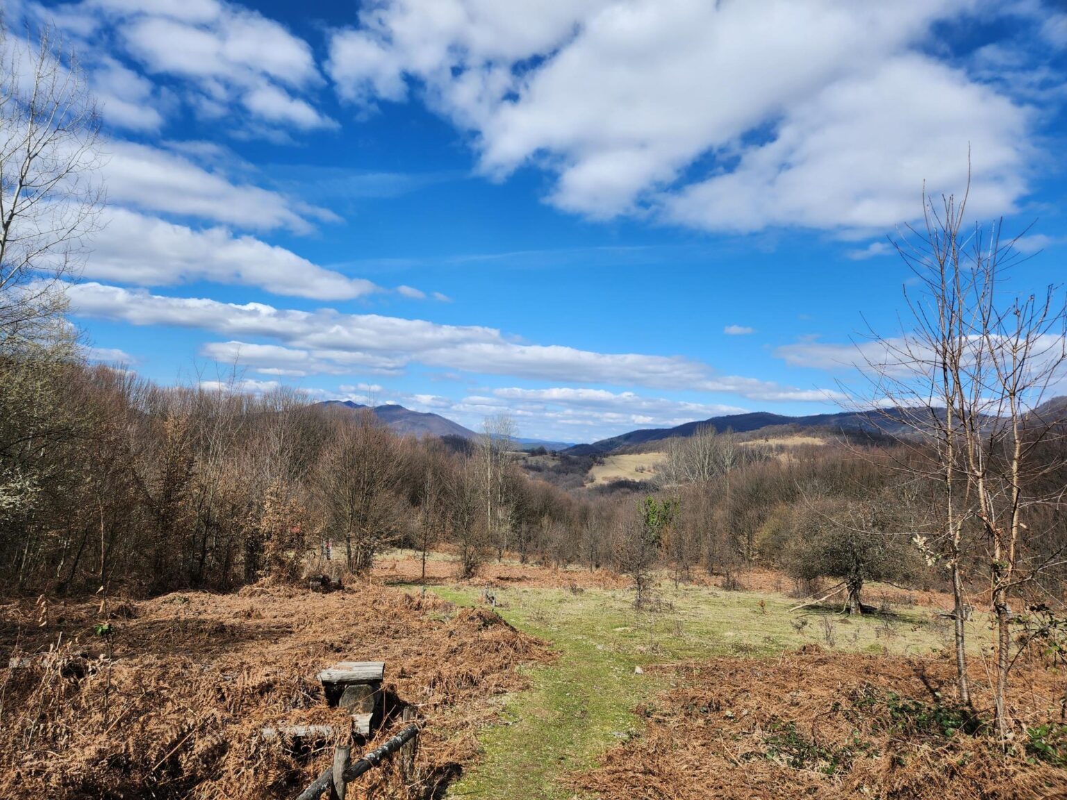
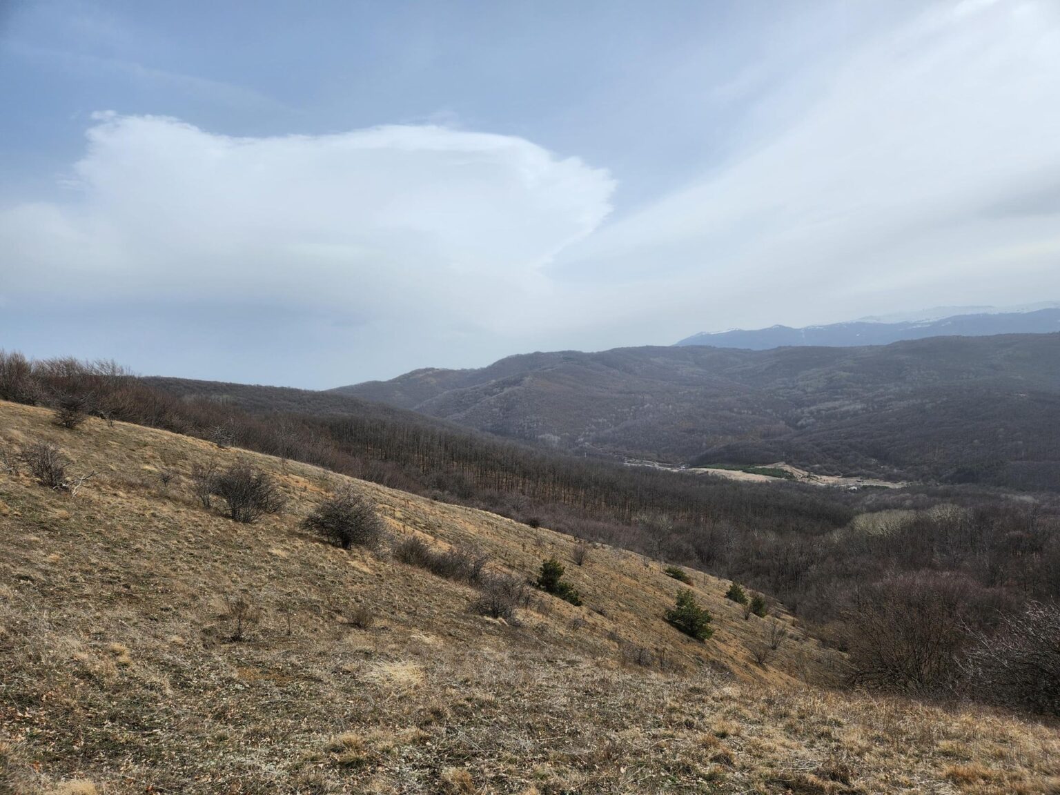
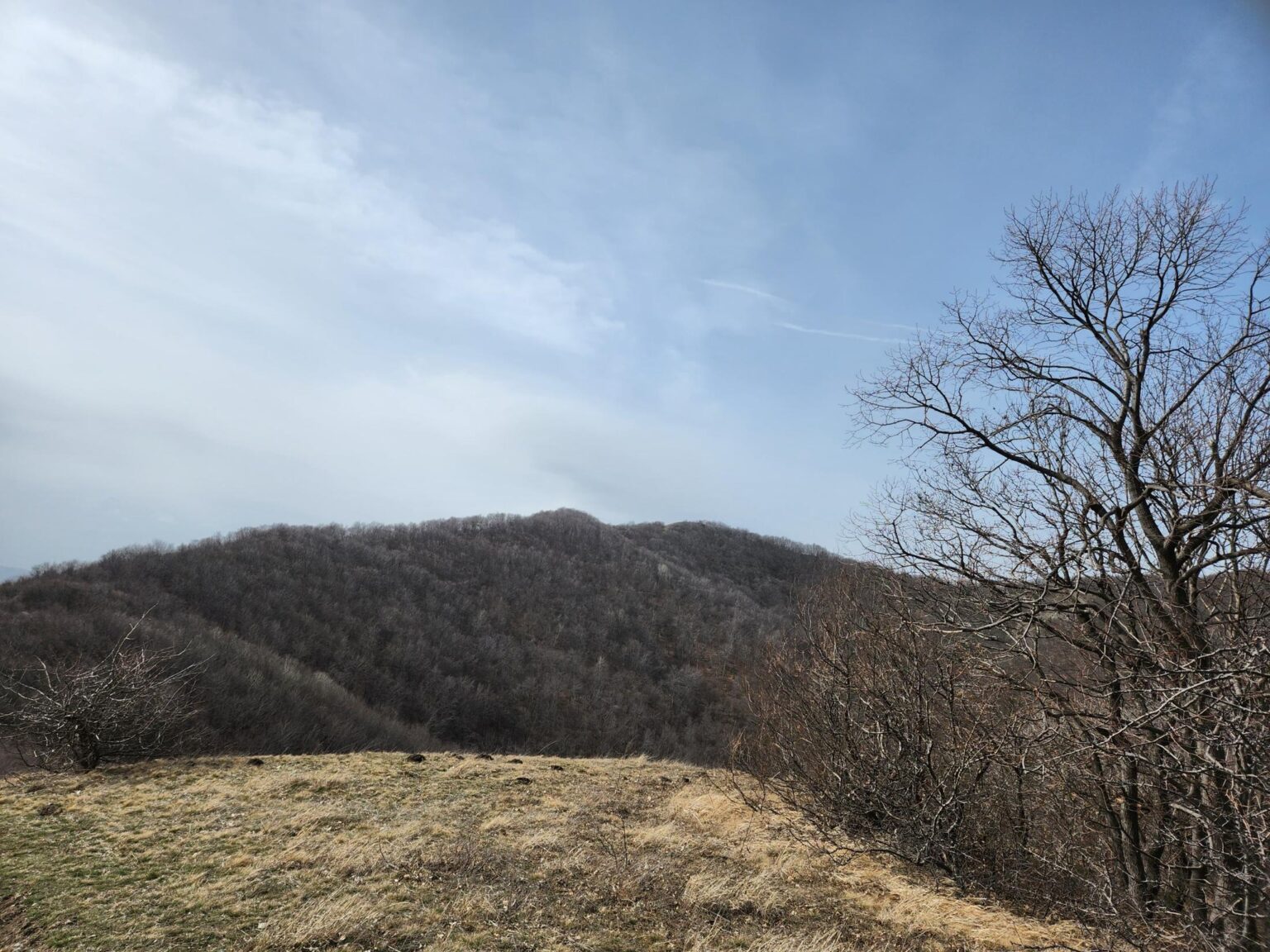
So there’s a big climb and no jaw-dropping views, but it’s still beautiful and easy to enjoy. You can simply stop to watch and listen to the tall trees swaying. Listen to the silence, broken only by the leaves and the wind. It’s very calming.
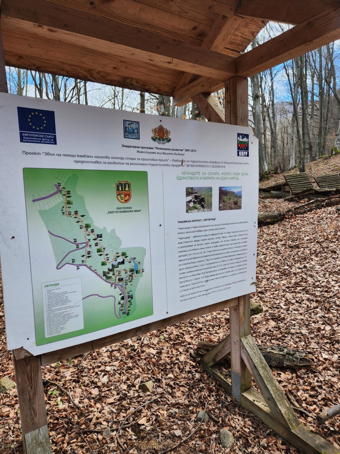
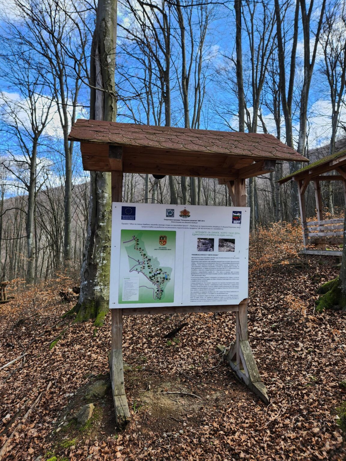
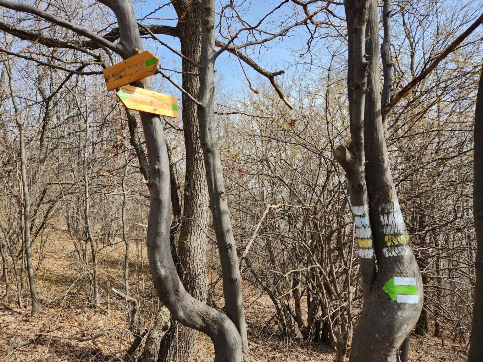
Somewhere along the seemingly endless climb, you’ll pass a fork:
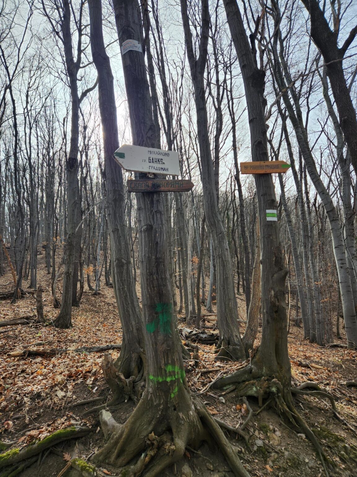
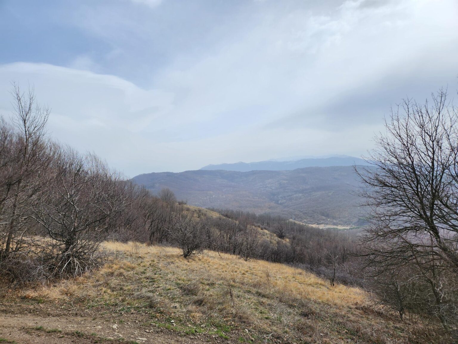
From here you can head towards Raylovo Gradishte peak, passing Panorama Rock on the way. You’re already close to the peak at this point. Less than 5 minutes from the fork you reach Panorama Rock, which offers this view:
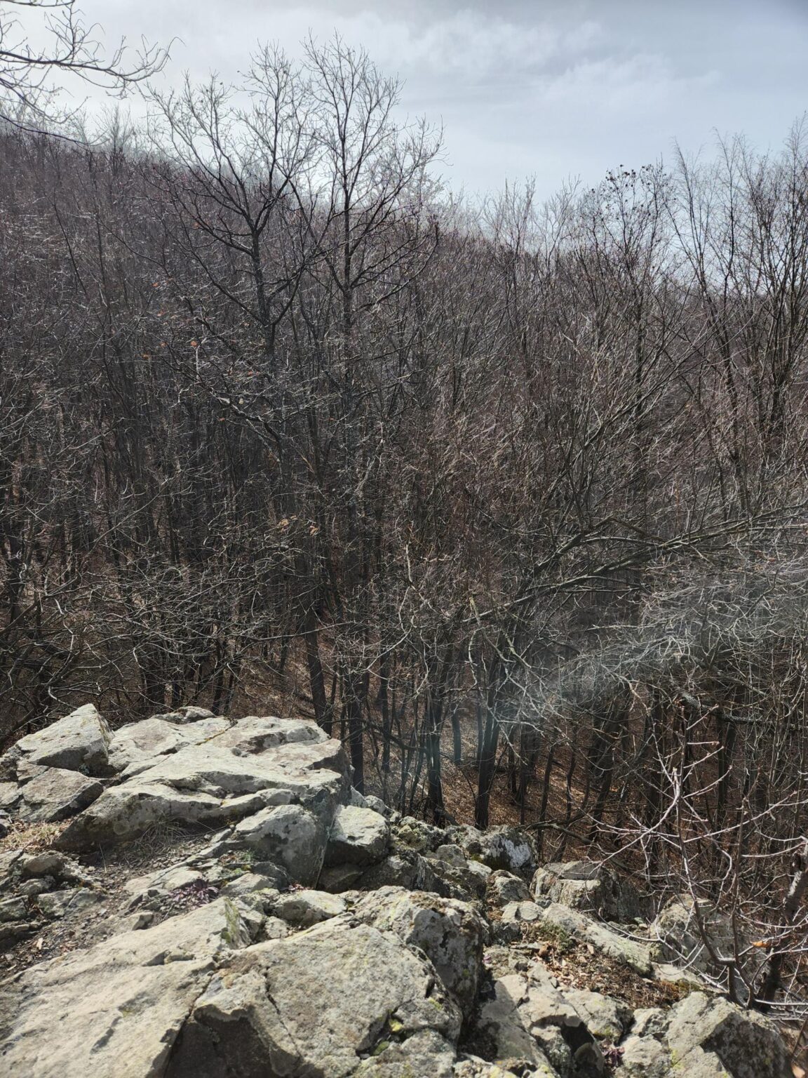
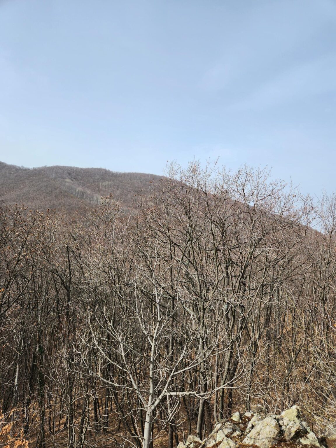
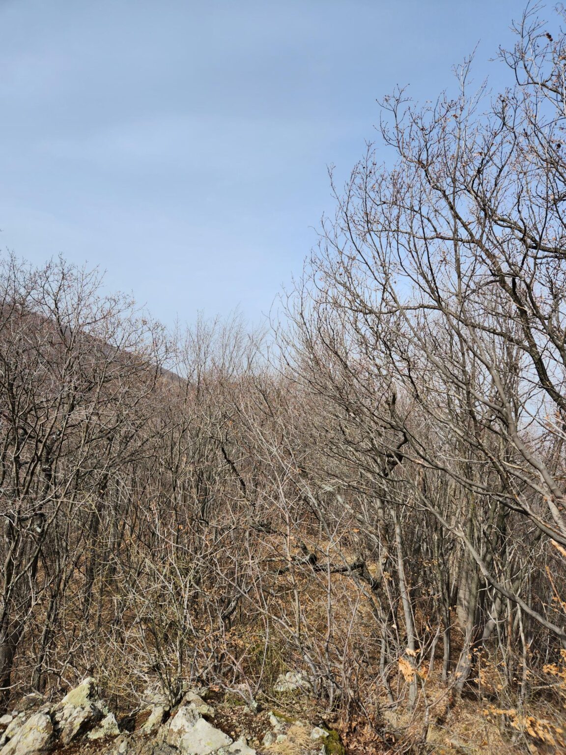
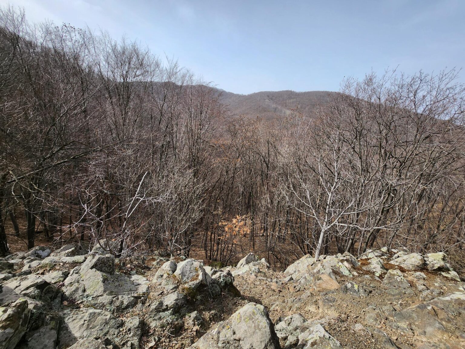
It isn’t an endless panorama, but compared with the rest of the trail, the name is well earned 😀
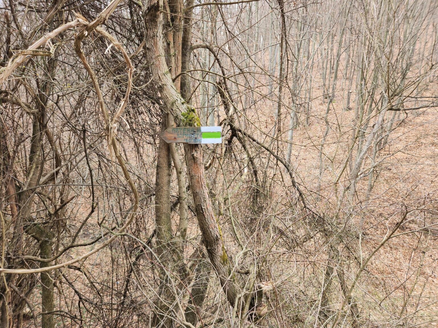
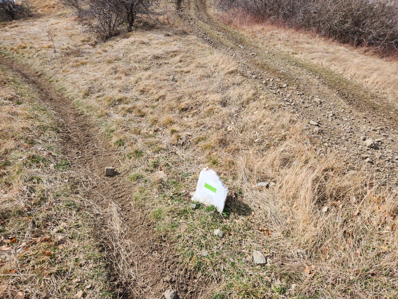
The trail is well marked throughout, so getting lost would be hard. The main route is marked white-green-white. Near the end a second trail, marked white-black-white, branches off and most likely descends to the Gradoman quarter of Bankya. Check this yourself if you plan to rely on those markings.
Higher Up
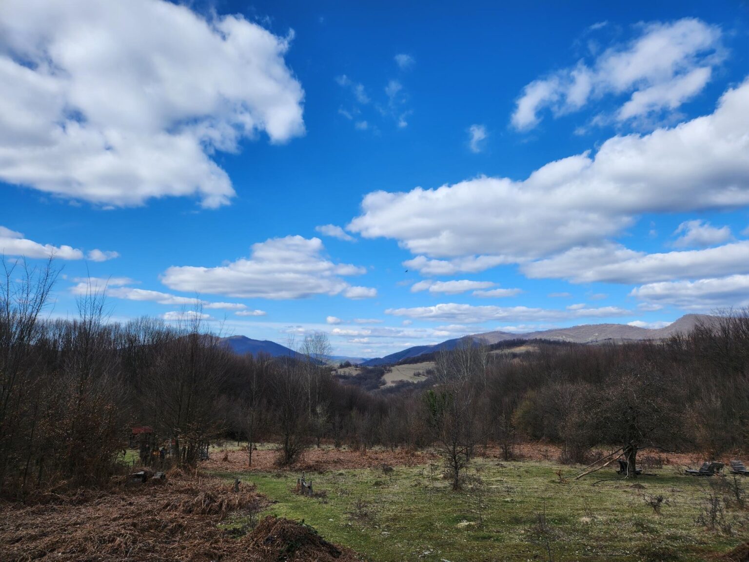
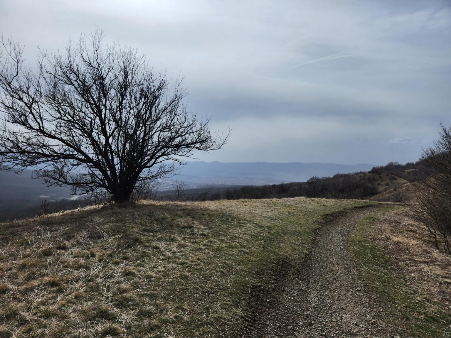
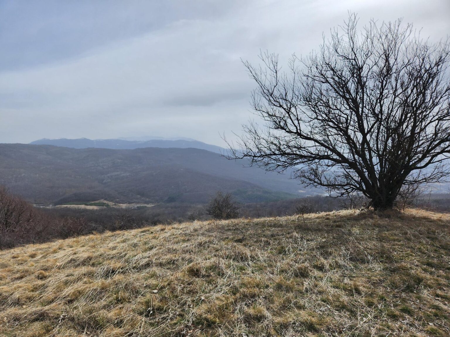
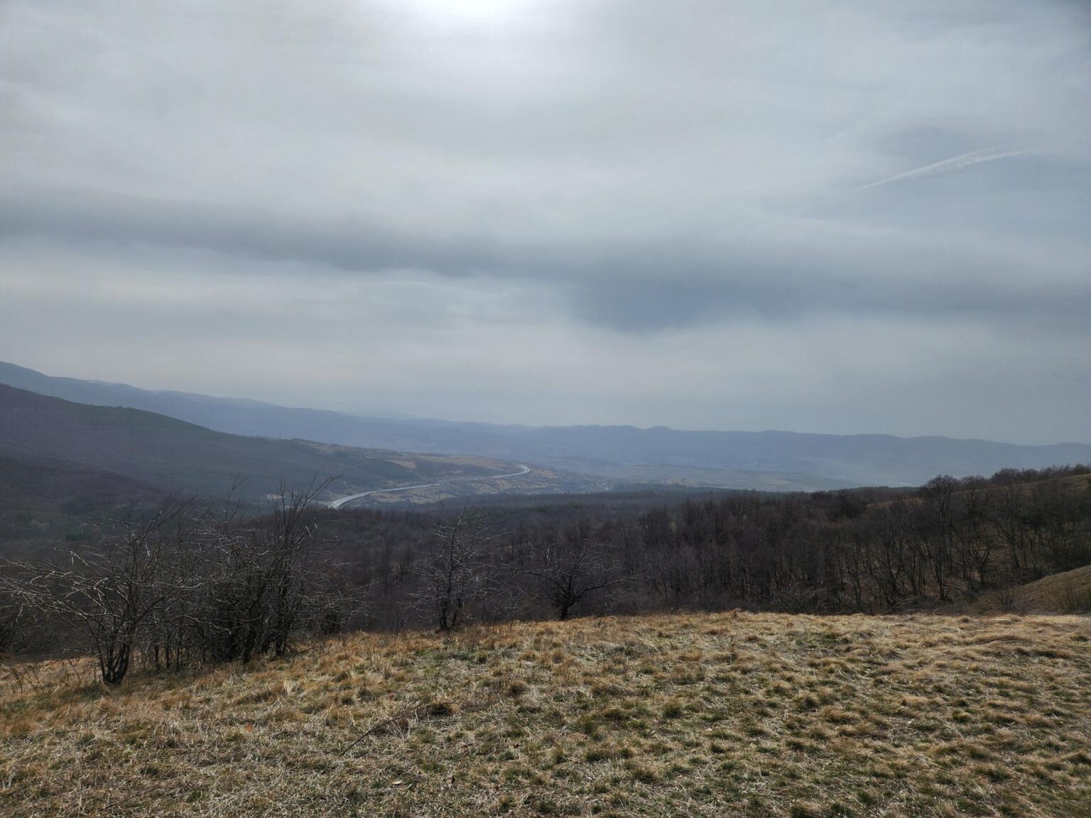
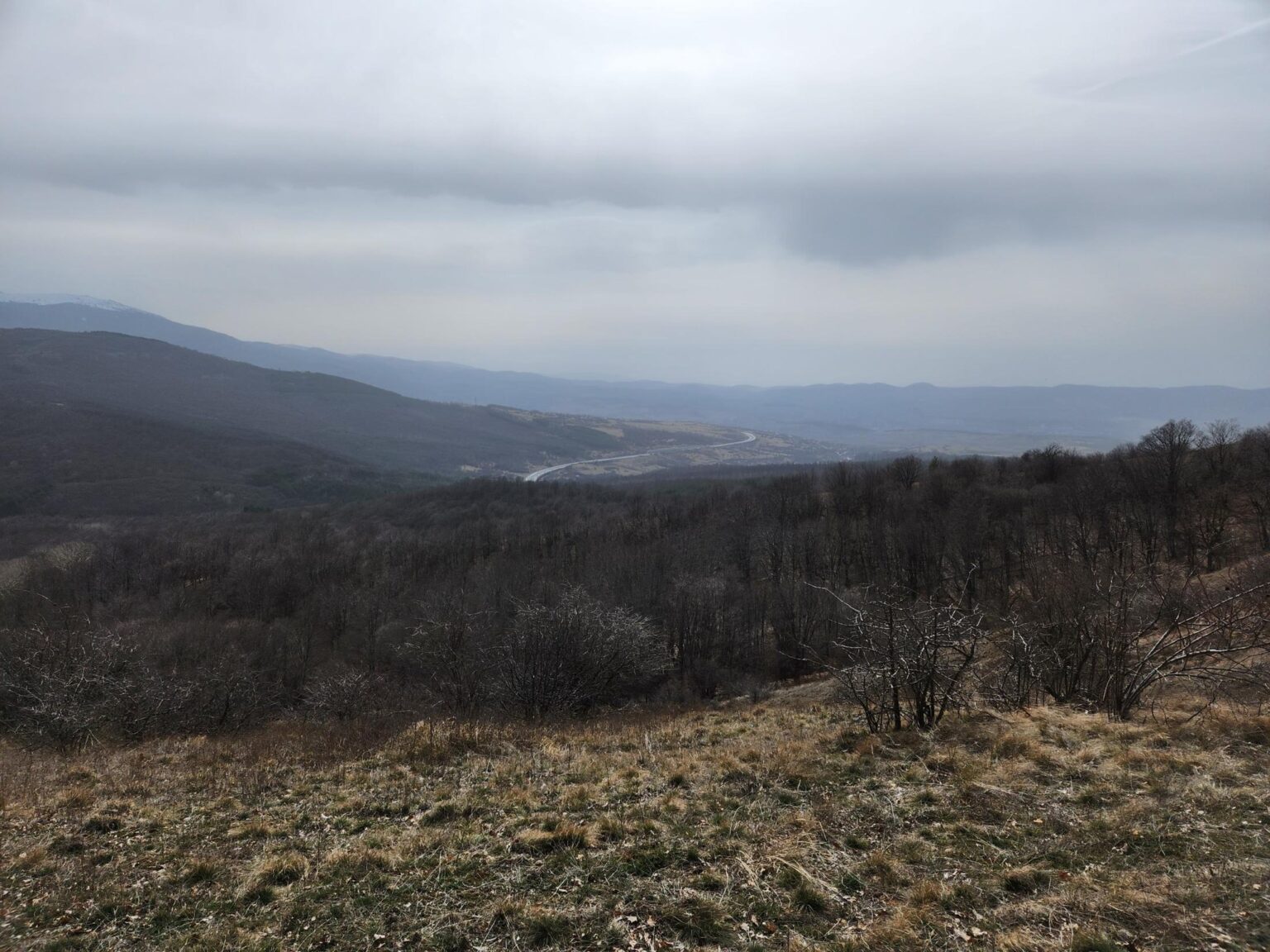
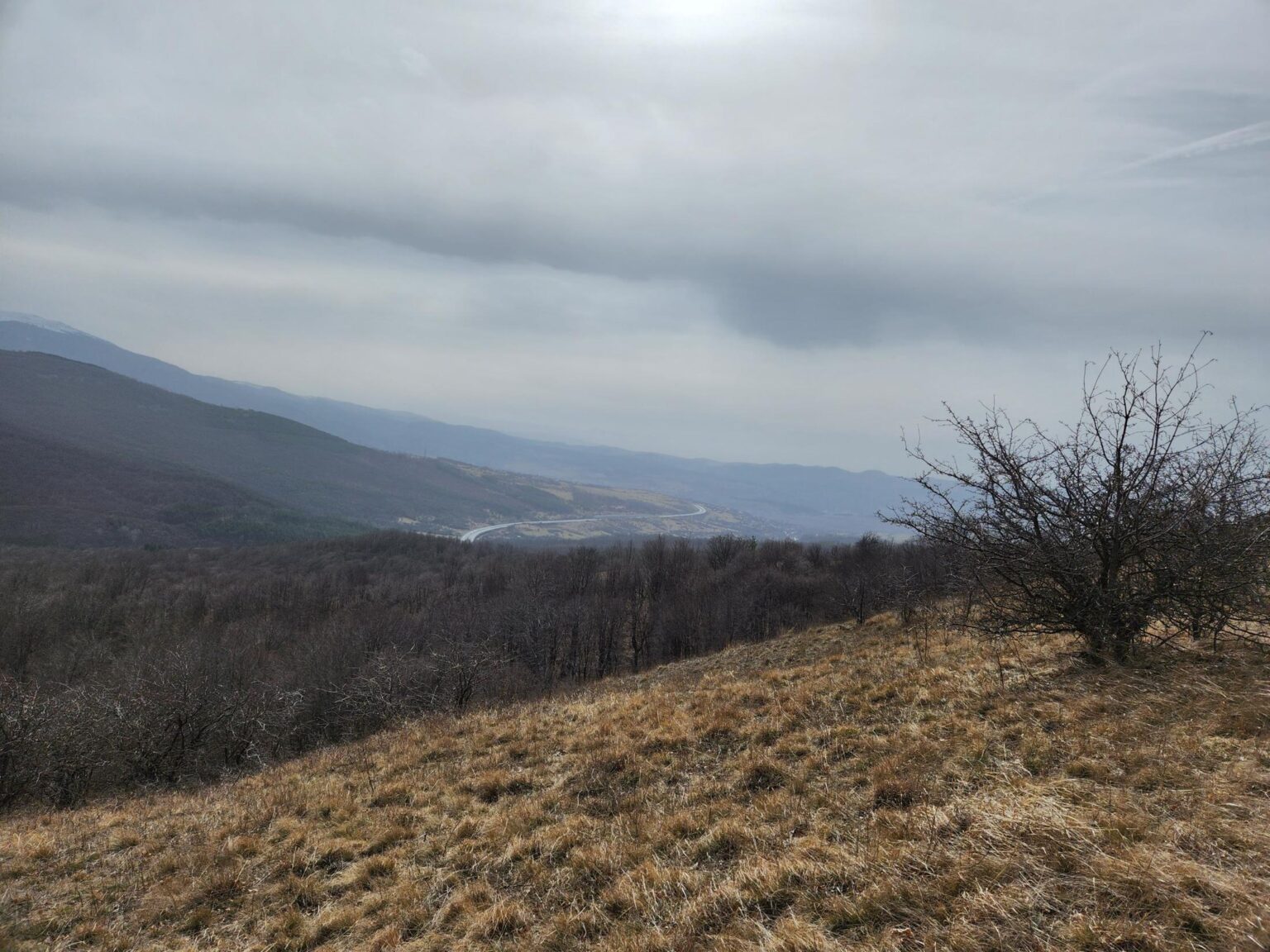
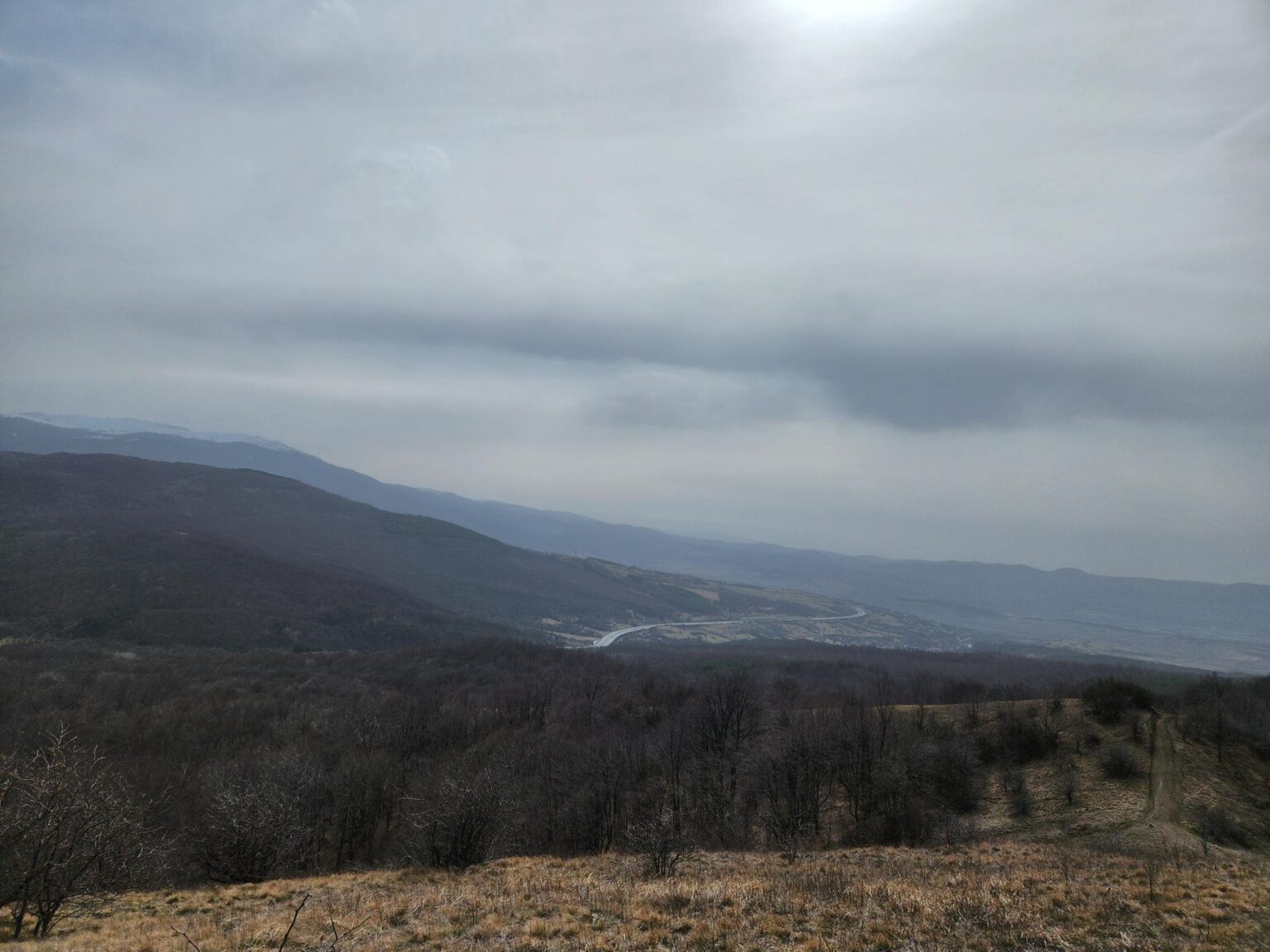
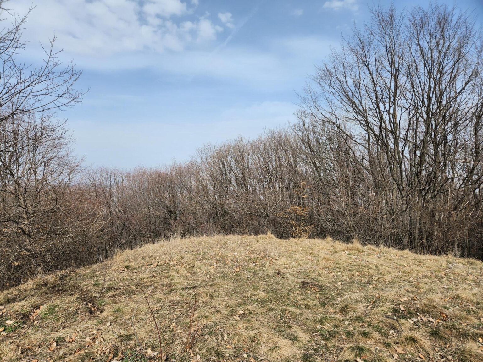
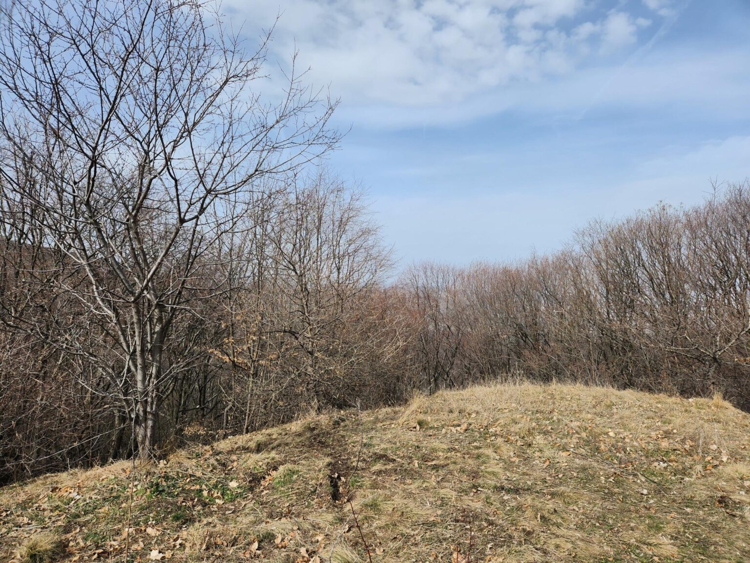
Keep climbing and you reach a ridge with a stunning panorama of… the Lyulin motorway 😀 Fine, the motorway and a bit more. It’s a perfect spot for a picnic.

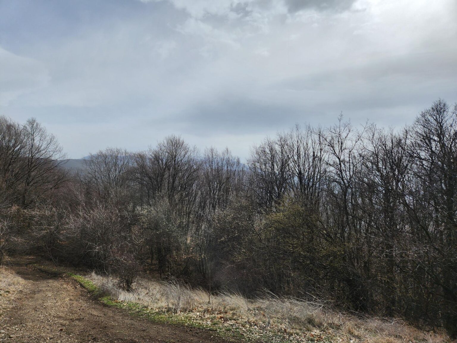
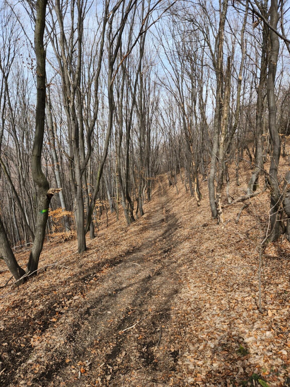
You return the same way, but the big climb is now a big descent, and it feels noticeably easier.
Watch out for slipping on the leaves and loose pebbles!!!
You’ll need far fewer breaks, and the descent takes about half an hour less than the ascent.
Difficulty
The trail isn’t really suitable for people with limited mobility or for very young children, who would need to be carried.
Trekking poles would help but aren’t essential. It depends on your fitness.
The elevation gain is over 300 metres, and the climb is continuous.
Conclusion
The Esperanto eco trail is about 40 minutes by car from central Sofia, roughly 20 kilometres away. By bus 42 the trip takes around 1 hour 20 minutes, according to Google Maps. The trail has no fixed total length, but a typical walk is about 8–9 kilometres.
That makes it a comfortable 5–7 hour day. Leave Sofia in the morning and stop in Bankya to eat, refill your water and pick up picnic supplies. Then walk the trail, have your picnic and be back in Sofia by early evening.
The route clearly isn’t well known, and there were hardly any people on it. I could count everyone we met that day on one hand. You won’t see anything extraordinary or unique. You will breathe plenty of fresh air and get tired enough for a guaranteed good night’s sleep 🙂
If you’re looking for something similar nearby, the eco trail from Chuipetlovo to Smilyo hut is on the other side of Sofia, on southern Vitosha.
For more day-trip ideas, have a look at our top 10 day trips in Bulgaria or browse the full Eco Trails section.
Gallery
The full gallery in one place: