Most people reach Razlog by driving through Bansko, and that is usually its problem: six kilometres separate the two towns, but one is on every map of Bulgaria and the other is a stop along the way. Razlog has around 13,000 residents and sits in the middle of the Razlog valley at 825 metres, hemmed in by the Rila mountains to the north, Pirin to the south and the Rhodopes to the east. What it has taken from all three is water. The town runs on it all day — channels down the middle of the walkways, cascades over the grass, a lake with fountains in the middle of the park. On a hot July morning that is the only thing keeping you outdoors.
| Where | South-western Bulgaria, in the middle of the Razlog valley at 825 m; 6 km north of Bansko, 53 km from Blagoevgrad, about 155 km from Sofia |
| Getting there | by car from Sofia via Simitli and the Predela pass, or over Yundola; by coach on the Sofia–Bansko route; the Septemvri–Dobrinishte narrow-gauge railway also stops here |
| How long | 2–3 hours for the park, the square and the museum; a full day if you add the Predela pass or Bansko |
| History Museum | The Parapunov house, 15 September 1903 Square 12–14. Monday – Friday: 8:00 – 17:00 in winter, 8:00 – 17:30 in summer; Saturday and Sunday (summer only) 10:00 – 16:00. Entry: working adults €2, students and pensioners €1; guided talk €3, group talk for over 7 people €5; combined ticket for both houses €3 and €2. Check current details on the museum’s official page (Bulgarian only). |
| Nature nearby | the Predela pass about 12 km away – the starting point for marked trails into Rila and northern Pirin; the Mesta river runs past the town |
| When to go | 1 January for the Starchevata mummers’ carnival, when all seven neighbourhoods come out with their bells; July and August for the park and the water |
| Parking | on the streets around the main square and along the park; on a weekday you will find a space without circling |
The square in the late morning heat
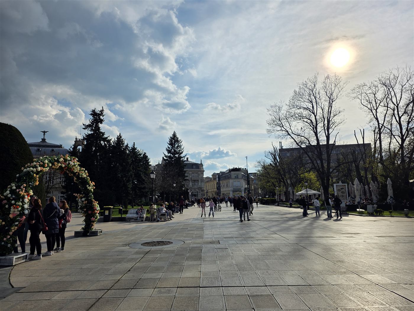
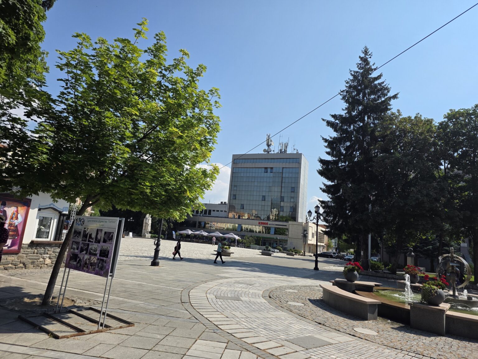
The main square is laid in granite and sized for a town twice as large — a pattern you meet all over Bulgaria, where central squares were rebuilt with EU money over the past fifteen years. At the far end stands a glass-clad office tower of the kind that counted as modern in the early 1980s, with a bank branch and a pizzeria on its ground floor now. To the right a low fountain runs among stone benches. At eleven on a weekday two people cross the entire space. On the left, propped on stands, are boards of black-and-white photographs: a centenary of the Pirin tourist society, which turns out to have pictures going back to before the wars.
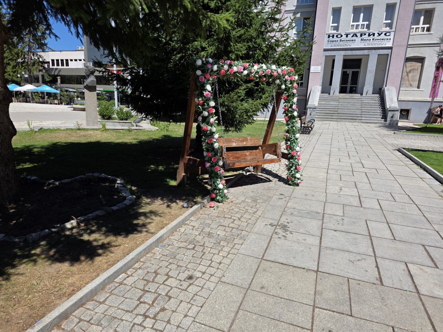
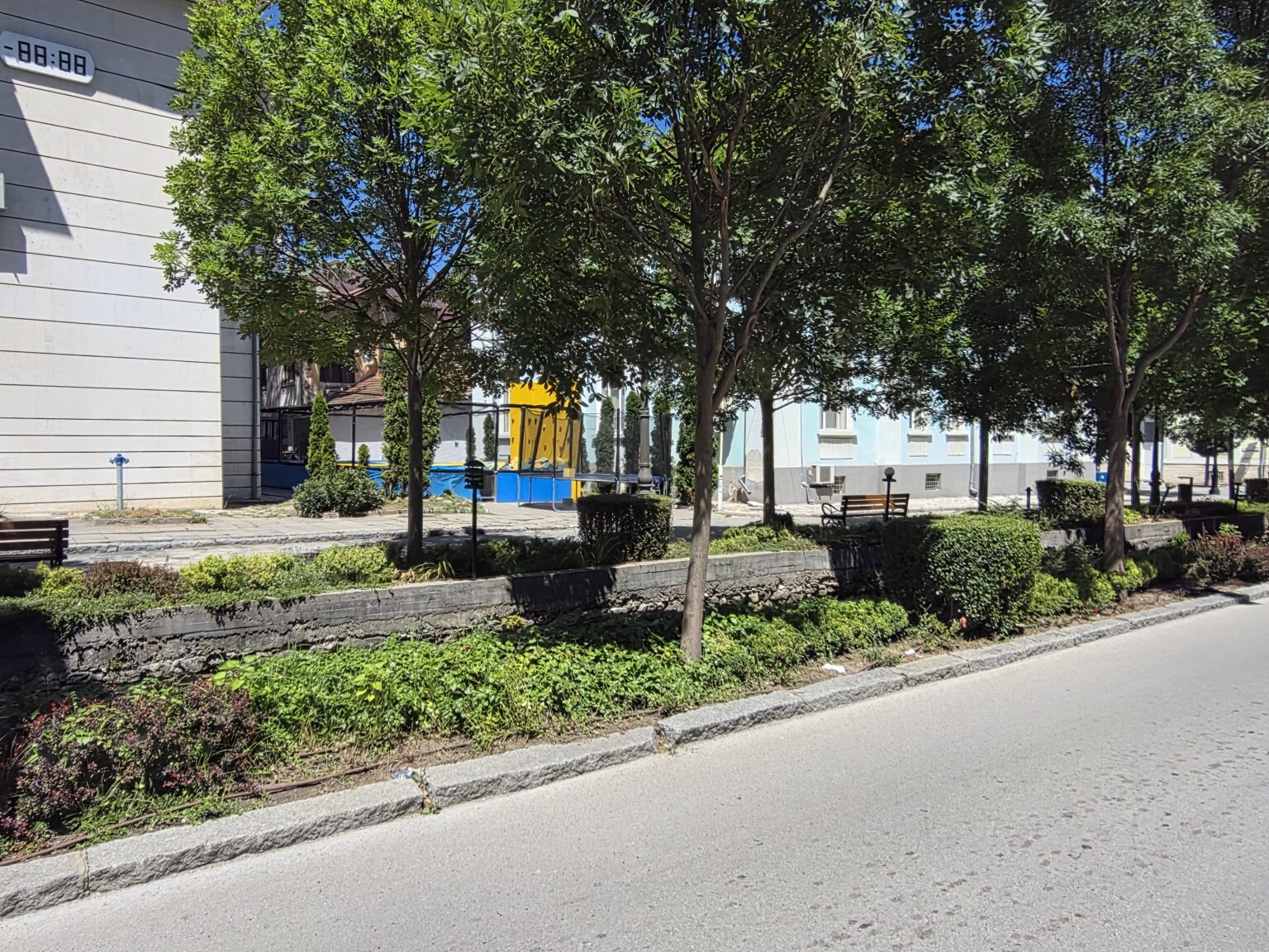
Off the granite the town warms up. Between the conifers someone has installed a wooden swing seat with its frame wrapped in artificial pink and white roses — for photographs, clearly — two steps from a memorial bust on a granite plinth and from the entrance steps of a building housing notaries’ offices. The combination is accidentally exact: a monument, a law office and a selfie prop in one frame. Further on, the streets follow stone water channels overgrown with ivy, past clipped hedges and a blue-and-yellow climbing wall behind one of the buildings.
The park: water along its whole length
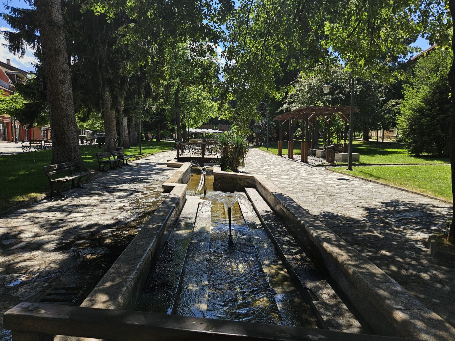
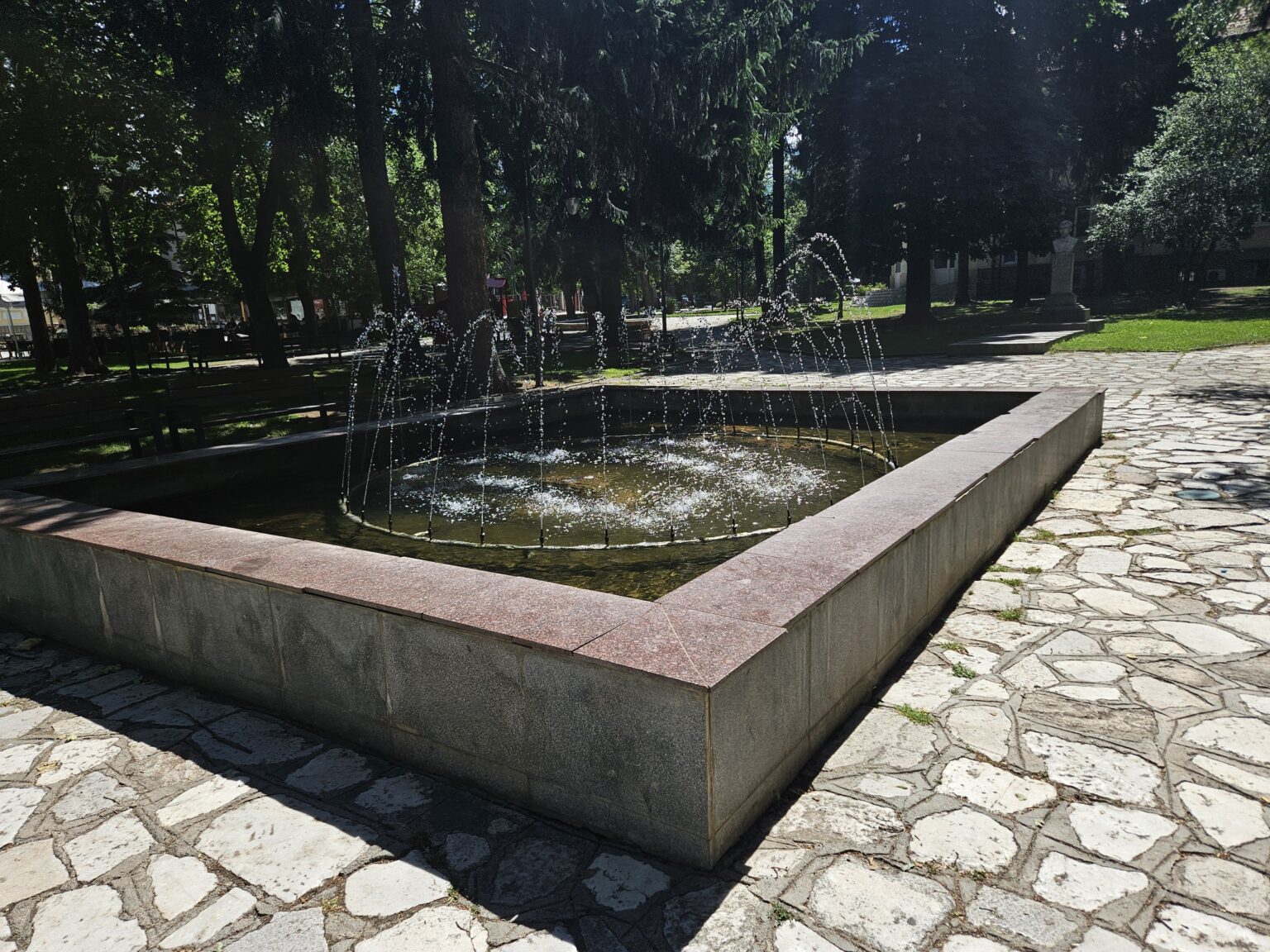
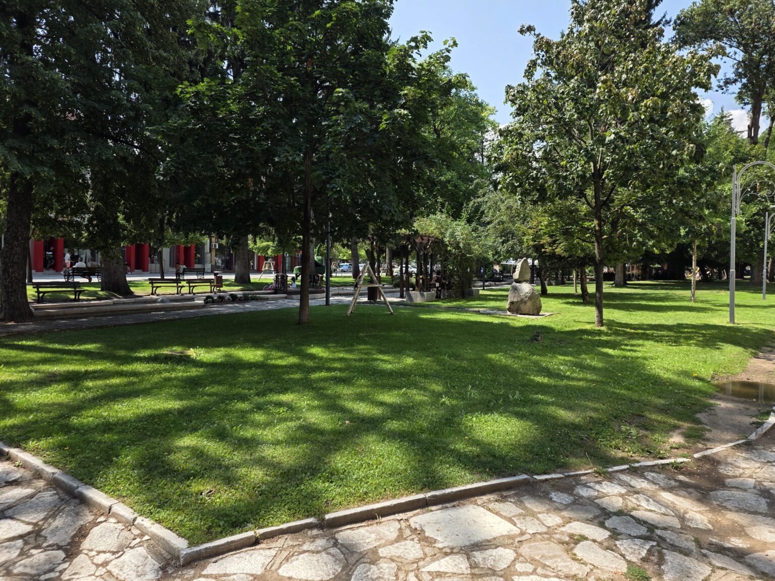
The park begins a block from the square, and its logic is immediately clear. A long stone channel with low jets runs down the middle of the main walkway, dropping with the ground; benches under tall trees on one side, a wooden pergola and lawn on the other. Nobody steps over it — everyone walks alongside. Further down the same water gathers in a rectangular fountain with a granite rim, still running through the deadest hour of the afternoon, when the paths around it are empty and the jets are the only movement in the frame.
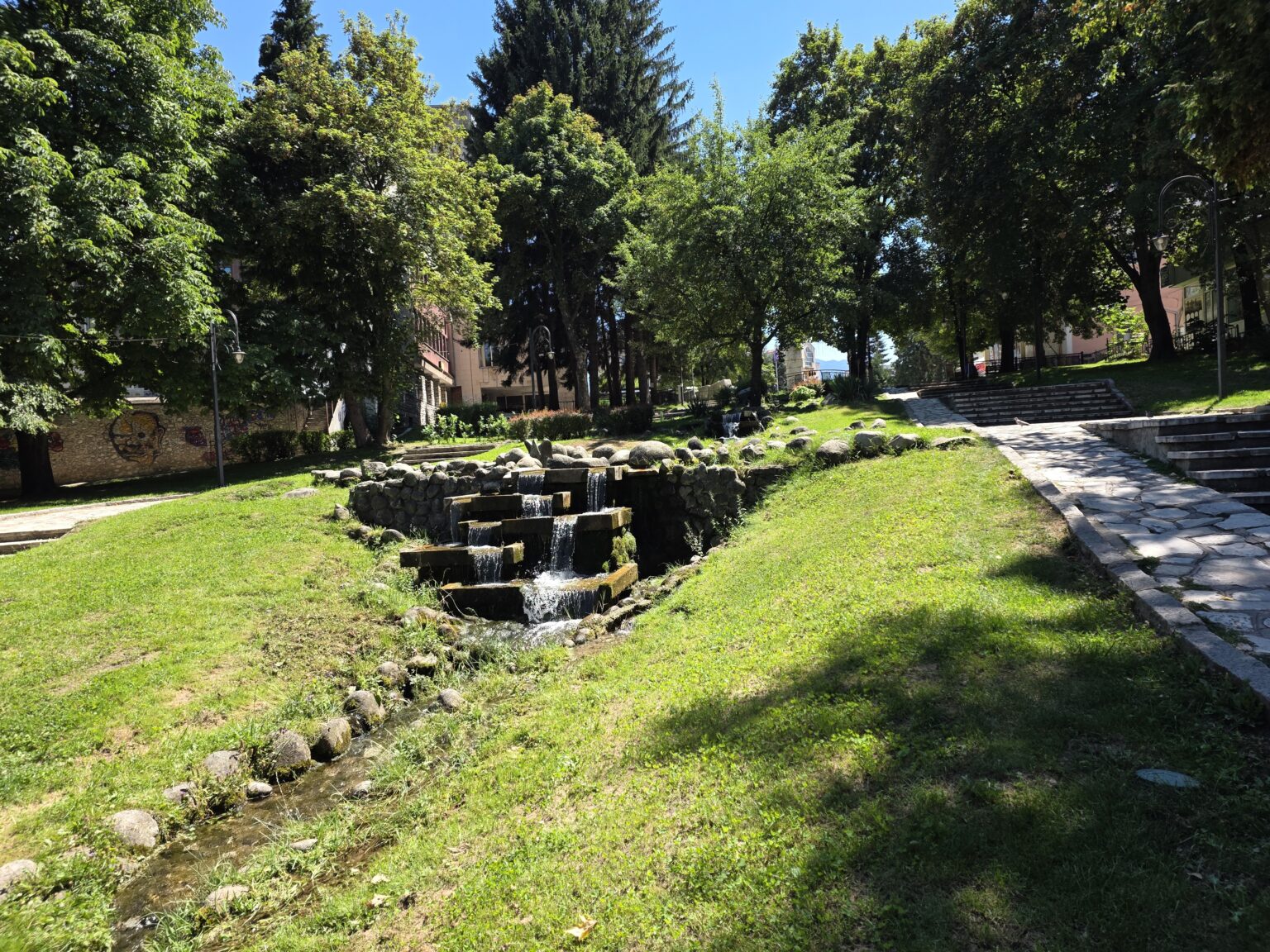
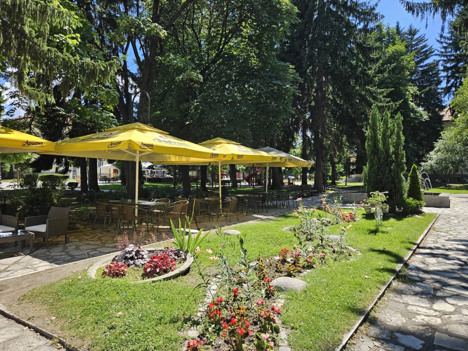
Lower still, the stream leaves the channels and drops down stone steps through the grass — a cascade fifty metres or so long, between mown lawn and river boulders, with a wide stairway alongside climbing back to the upper end. Across the path sits the garden café with its yellow parasols and rattan chairs, tucked into the shade of the spruces with begonia beds in front. And almost everywhere there is lawn that the trees keep shaded all day. This is a park built for July rather than for a postcard.
The lake and the green figures
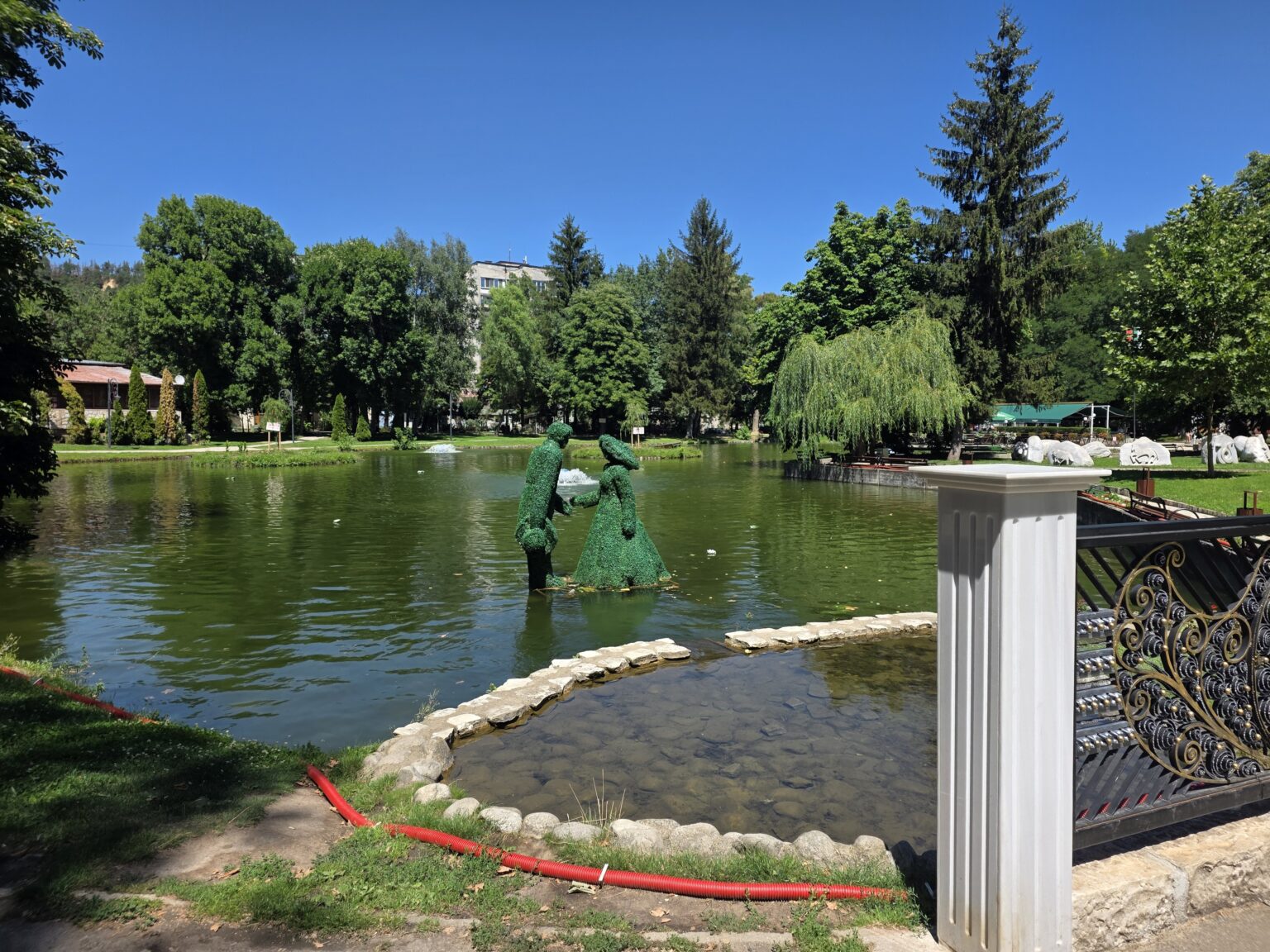
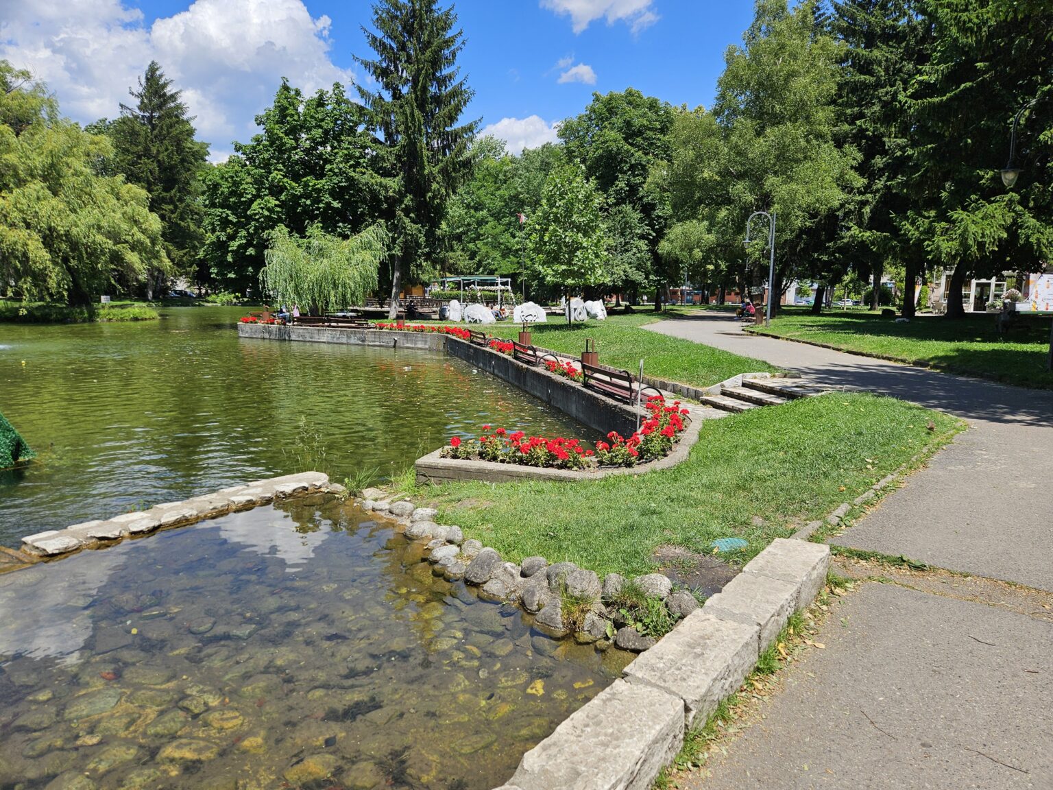
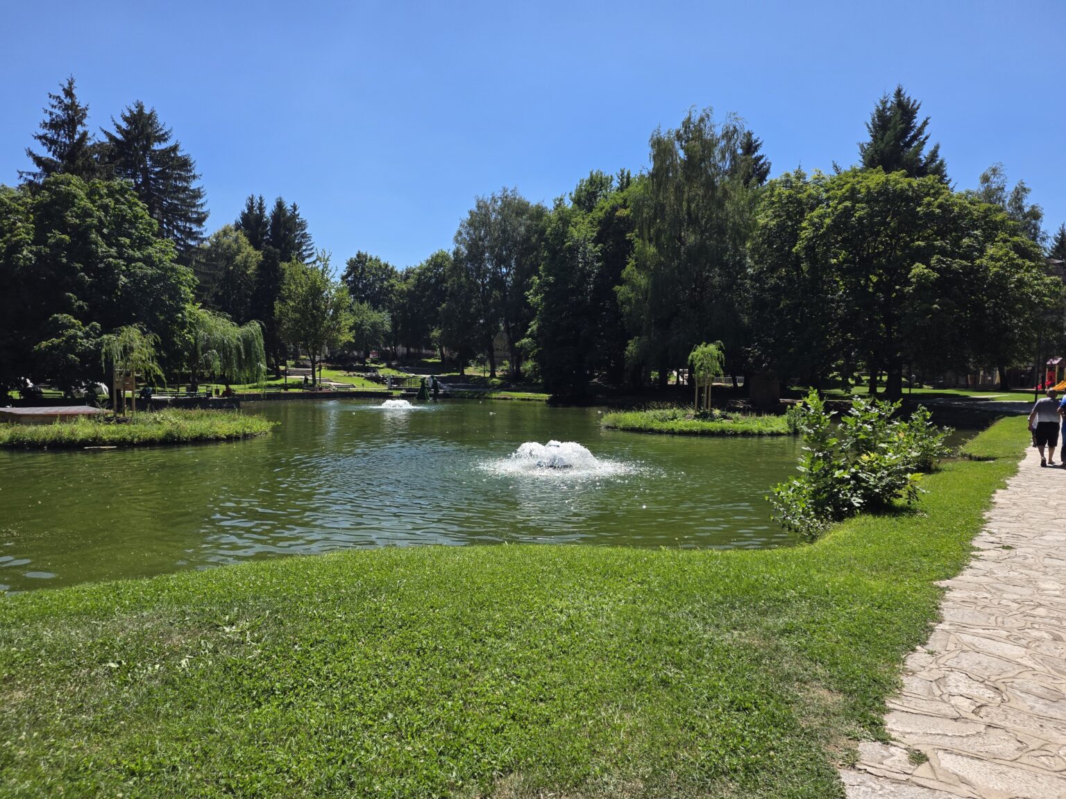
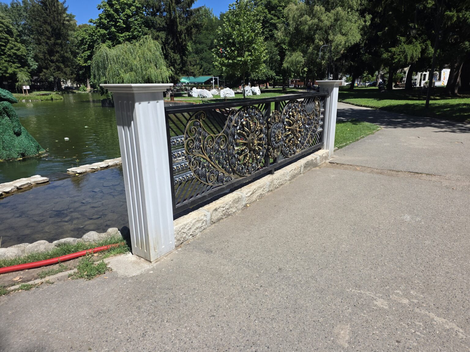
At the bottom of the park everything collects in the lake. It is shallow, with grassy banks and planted islets, and two fountains keep it moving — you hear them from the path long before you see them. One bank is walled with a low concrete embankment carrying beds of red geraniums and benches set right at the water’s edge; at the northern end the water splits off into a shallow basin ringed with river stones, clear all the way to the bottom. The bridge over it is unexpectedly grand: white fluted columns and a black-and-gold openwork railing of wrought rosettes studded with gilt. That railing would look at home in a municipal garden of a century ago.
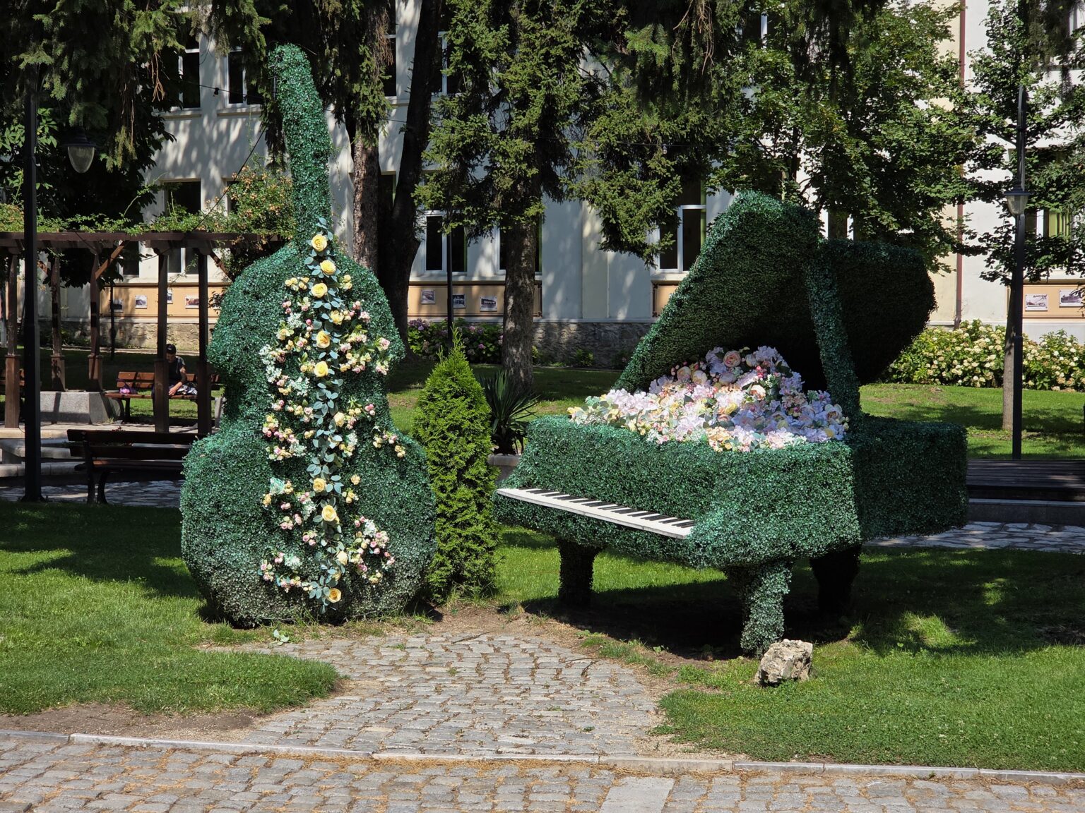
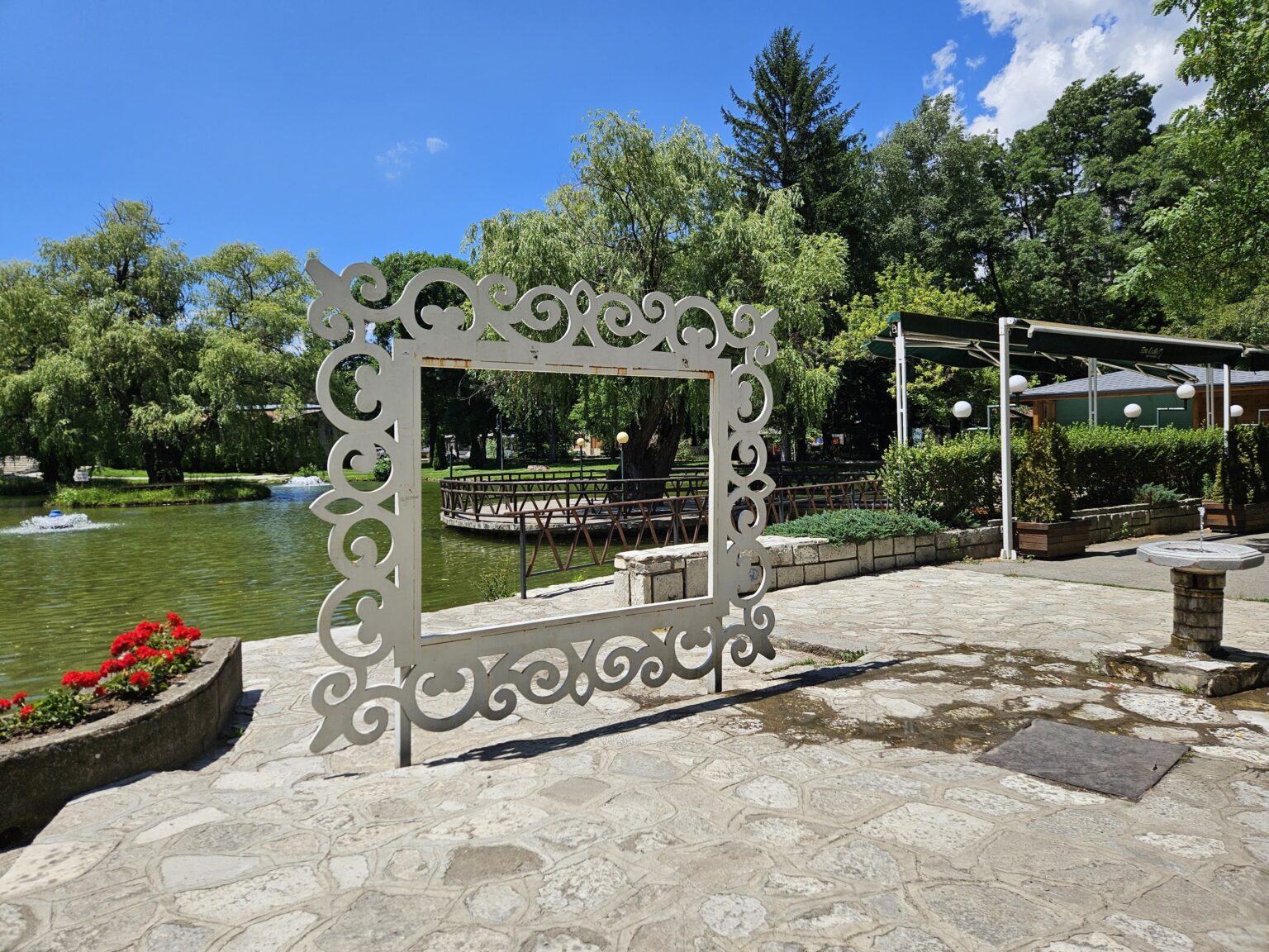
Standing in the middle of the water are two green topiary figures — a man and a woman in a long dress, knee-deep in the lake rather than on the bank, which makes them visible from every point around it. The same hand shaped a double bass and a grand piano out of clipped greenery a little further up, with white keys and artificial roses instead of strings, set on the grass beside a cobbled path. A white filigree photo frame stands on the shore too, placed exactly where the path meets the water so the footbridge and the willows fall inside it. Not subtle, but it works: people stop, take pictures and stay a while longer.
The Parapunov house and Starchevata
A short walk from the centre, on a square named after 15 September 1903 — the date of the Ilinden-Preobrazhenie uprising in this region — stands the History Museum, housed in the birthplace of Colonel Nikola Parapunov. The building is a Razlog-Chepino house of the so-called brothers’ type from the late nineteenth century, burned during the 1903 uprising and rebuilt to the original plan in 1905. Museum work in the town dates from 1954, and the memorial house became a full History Museum in 2000. The collection holds over 5,000 items — weapons, early printed books, local dress and the tools of Razlog craftsmen. Opening hours and entry fees are in the box above.
The other thing Razlog is known for is invisible in July. On 1 January, from first light, all seven neighbourhoods come out with their mummers — called chaushi here — wearing fifty-kilogram cow bells, accompanied by bear handlers, young men and women in traditional dress, and one brass band per neighbourhood. The costumes are kept secret until the day itself. This is Starchevata, and since 2008 an international mummers’ carnival of the same name has been held a few weeks later. If you are in the valley at any other time of year, the neighbour to the south is Bansko, and down the Struma valley lies Blagoevgrad.
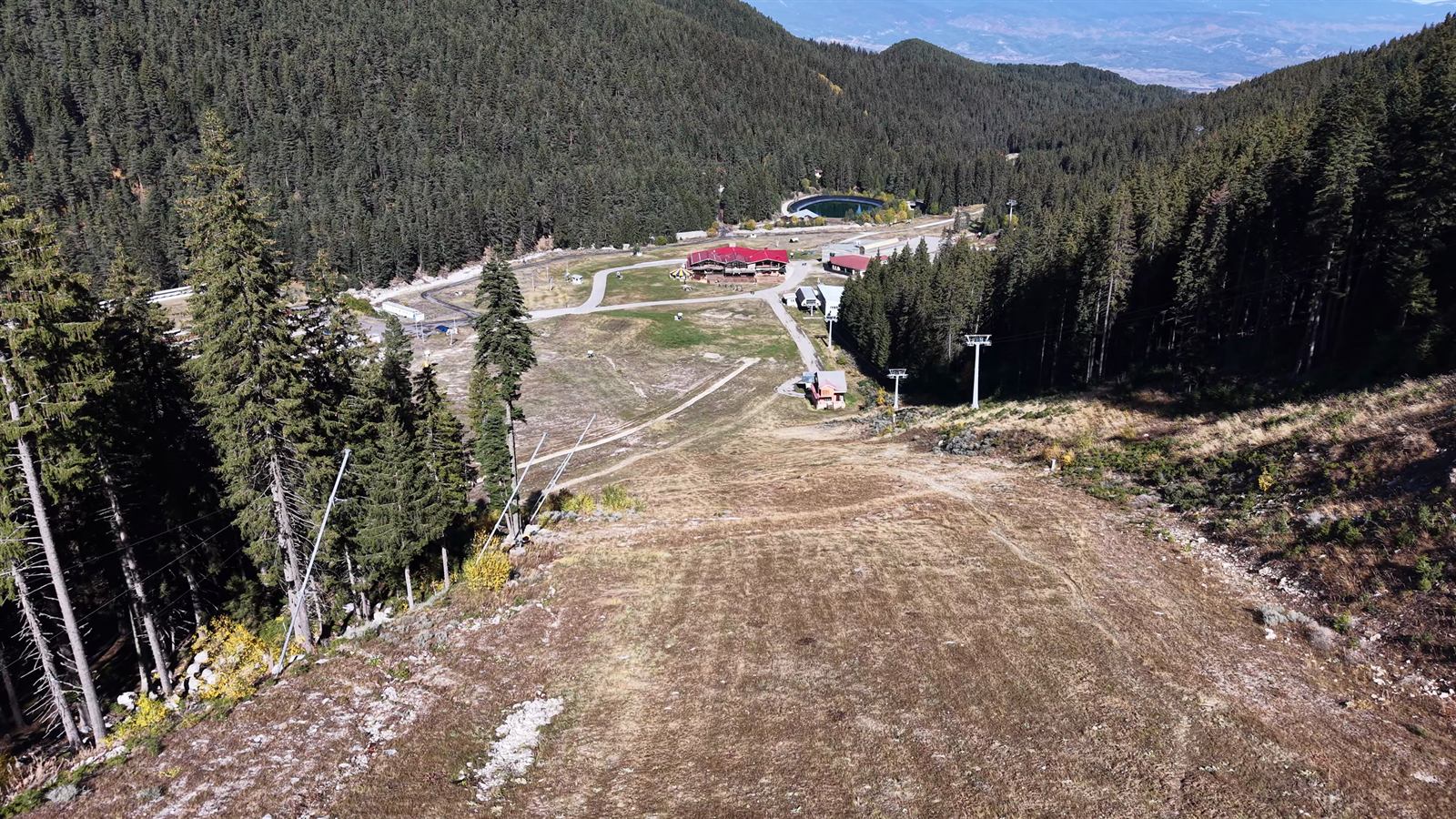
Related video: there is no episode for Razlog itself yet, but the valley and the mountains around it can be seen from the air in Bulgaria From Above: Flight Over Bansko — the neighbouring town six kilometres away. The rest of the episodes are in the Bulgaria From Above series.