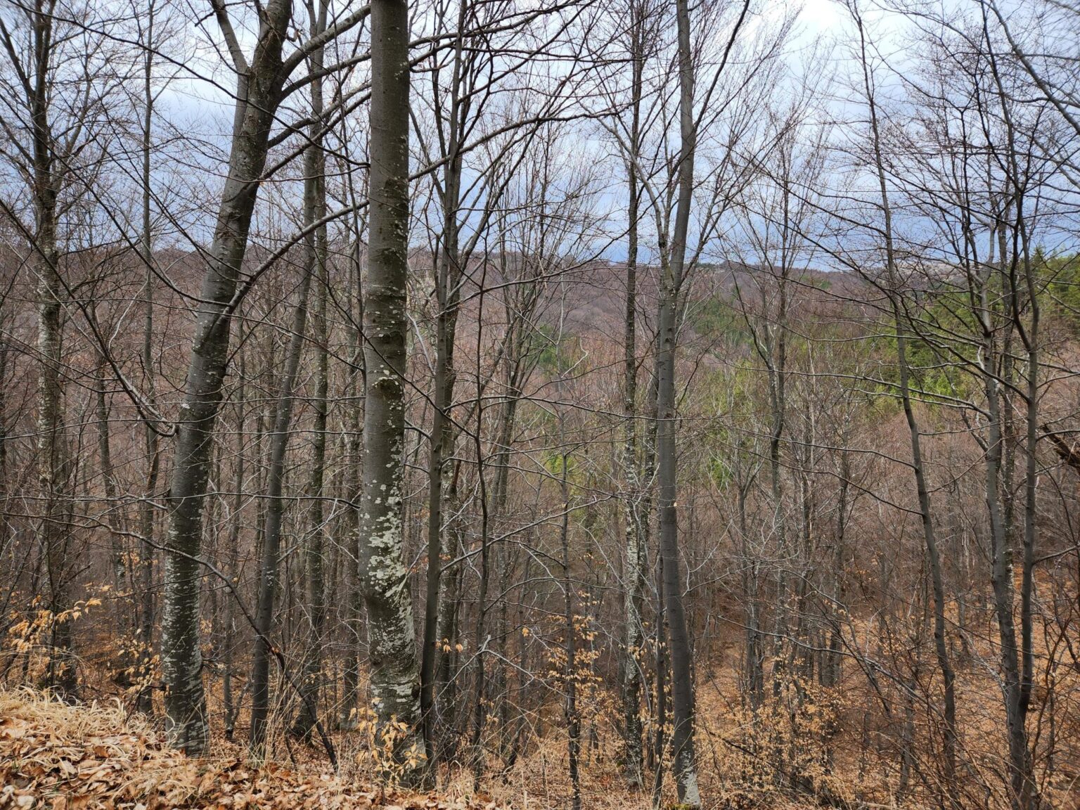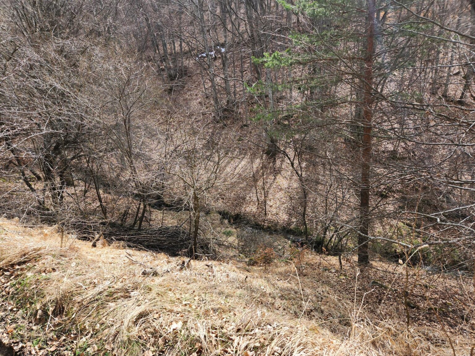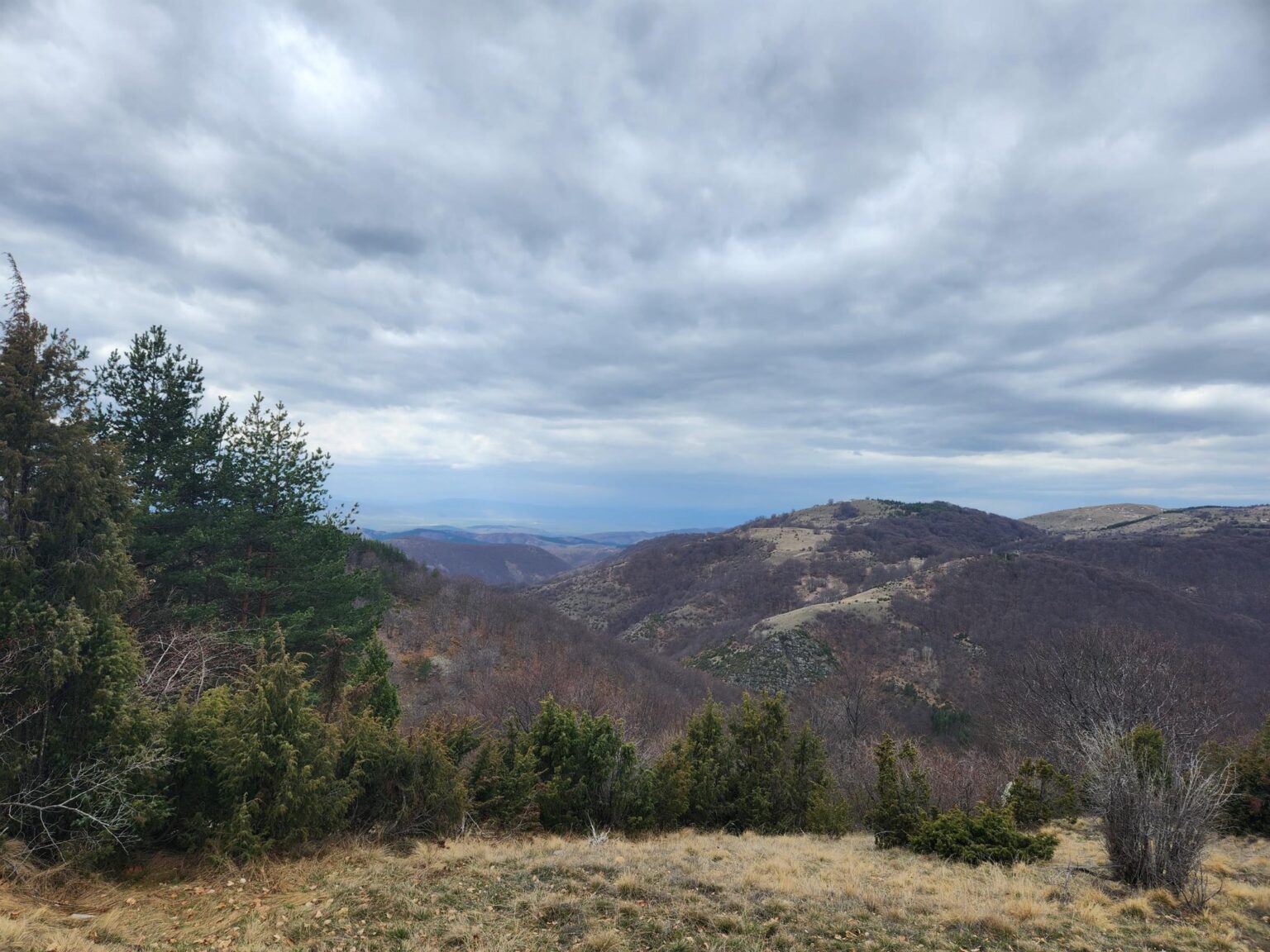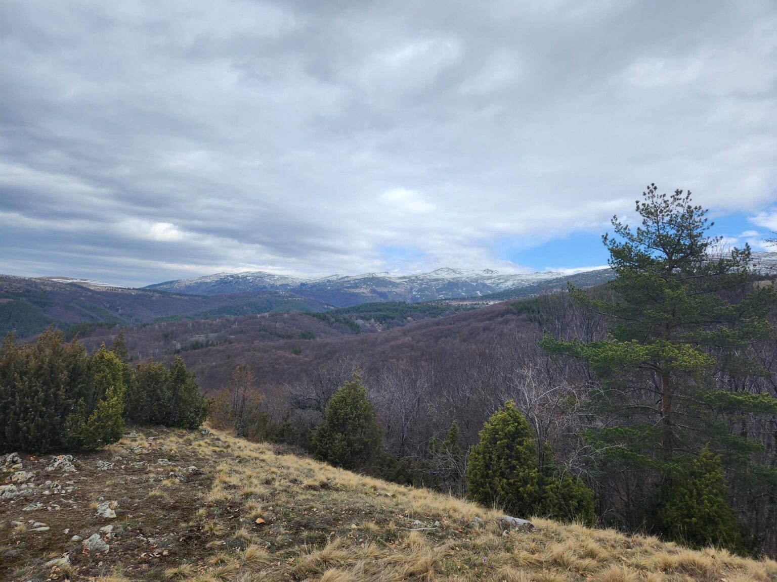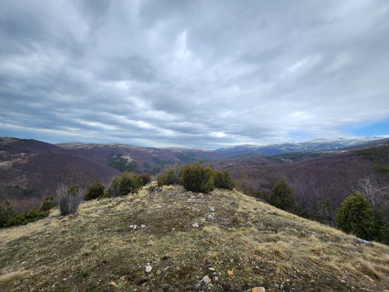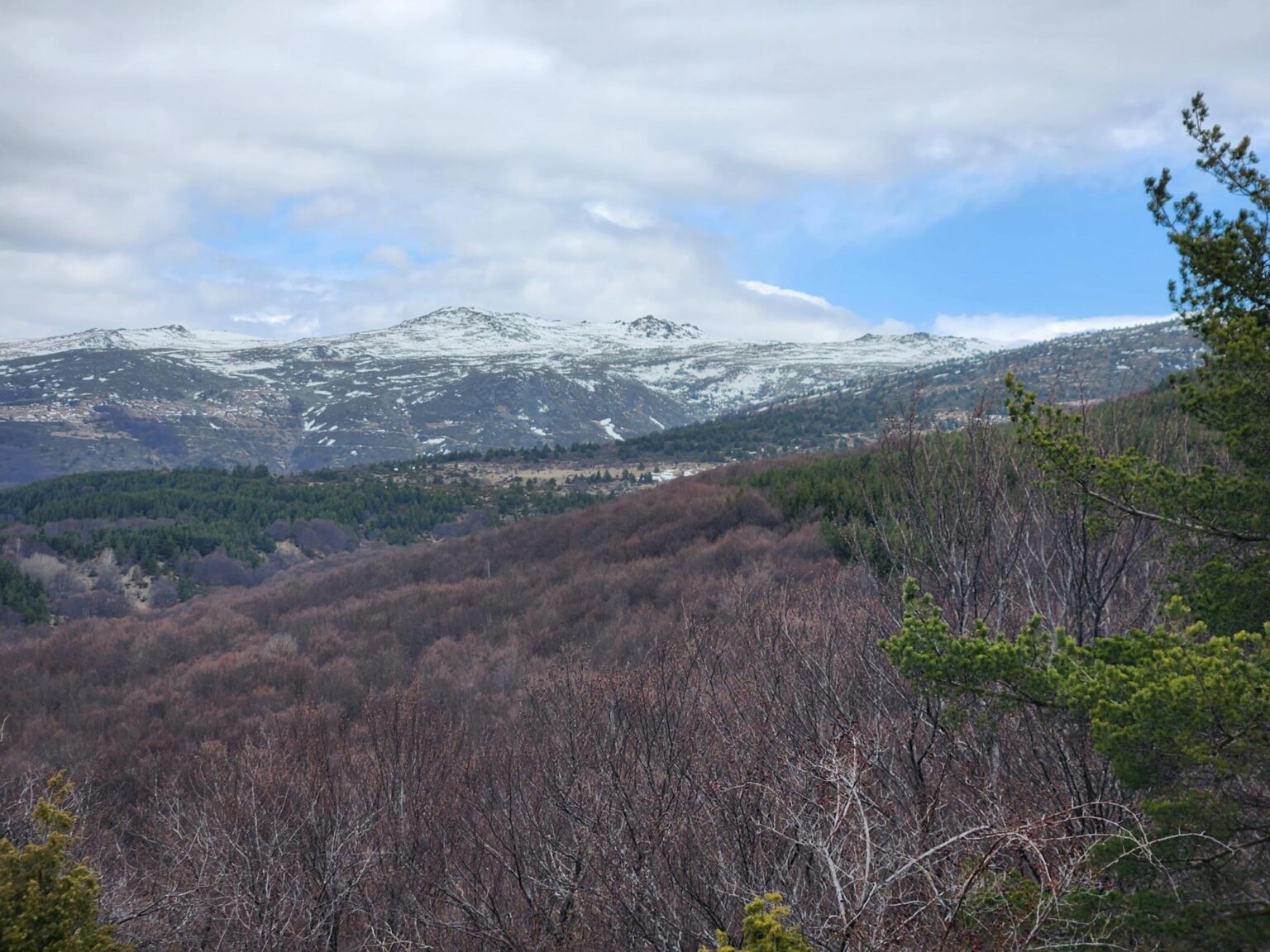
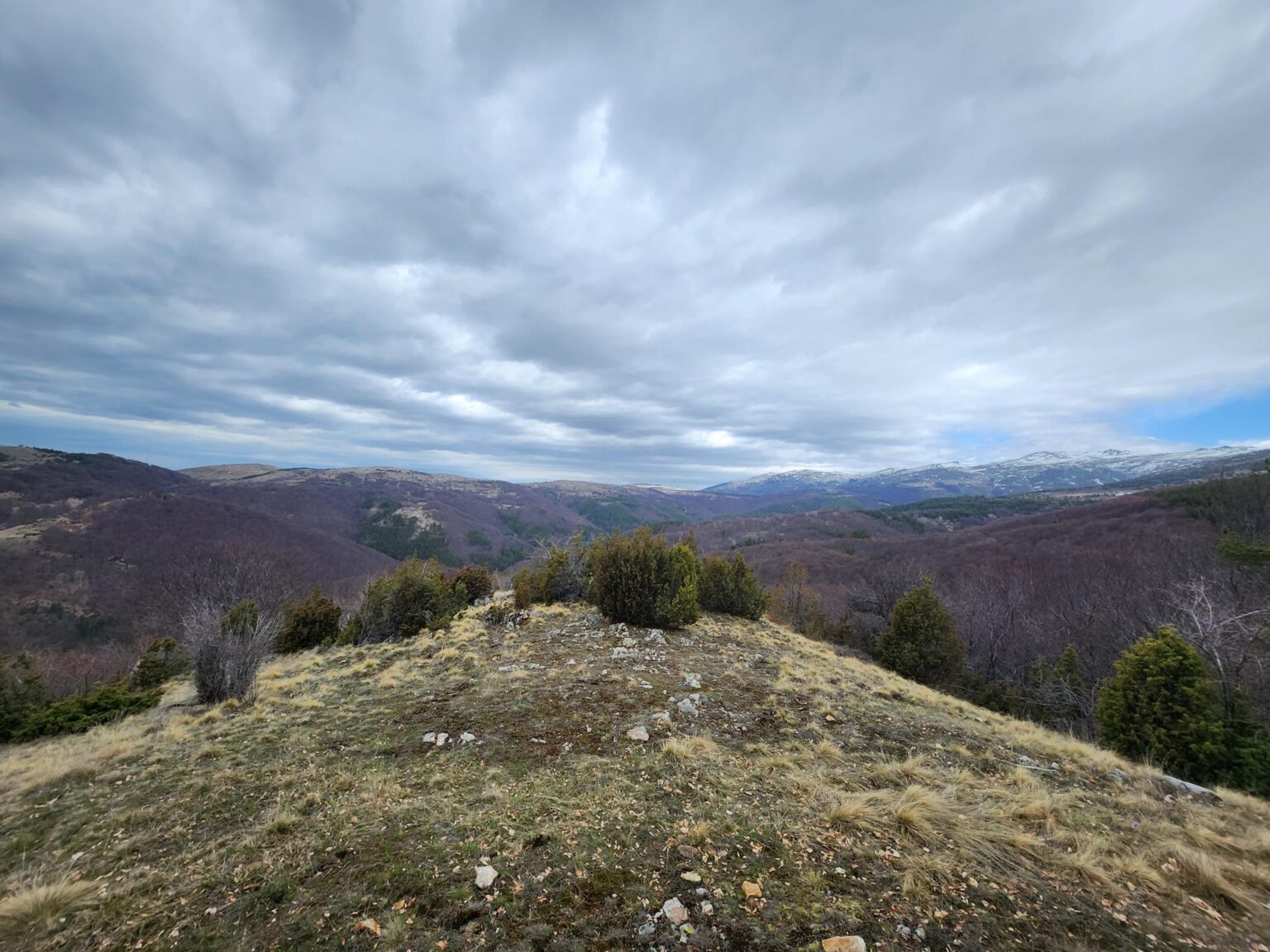
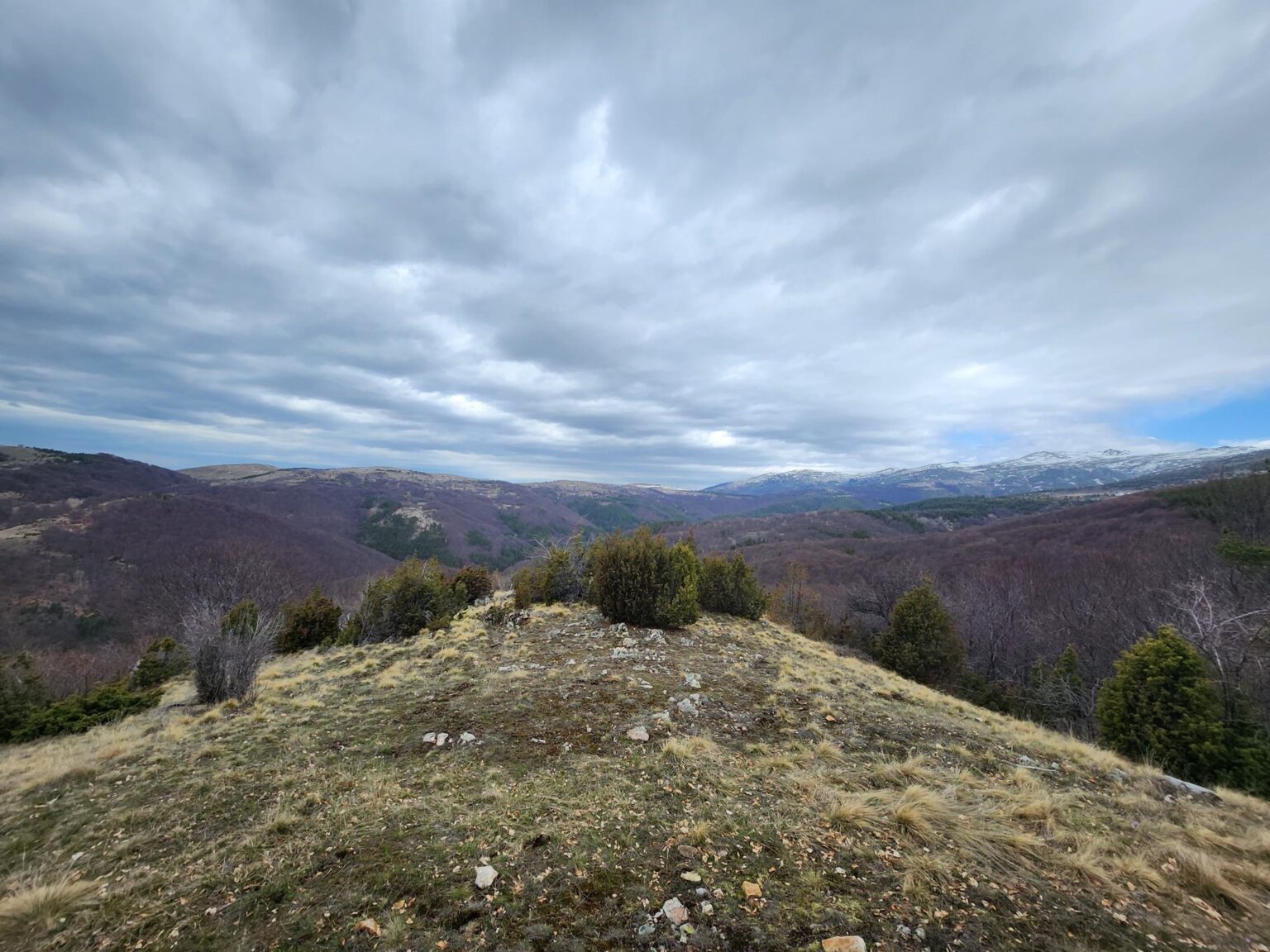
Ha! Got your attention, didn’t I? “The Dark Side of Vitosha”. Sounds rather grand, like the dark side of the moon, or something straight out of Star Wars. Well, today there’ll be nothing quite that extraterrestrial, and nothing dark either. Quite the opposite: bright and pleasant. We’re heading to the southern slope of Vitosha for a walk from the village of Chuypetlovo up to Smilyo shelter.
| Location | Southern slope of Vitosha · Chuypetlovo village, just past Bosnek |
| From Sofia | ~20 km · about 45 min by car to the trailhead |
| Route | Loop, ~7–8 km · part of Vitosha 100 km |
| Elevation gain | ~250 m, evenly spread · only one steeper stretch (~5 min) |
| Walking time | ~2 hours · can be stretched into a full day |
| Difficulty | Easy · likely hard going for small children |
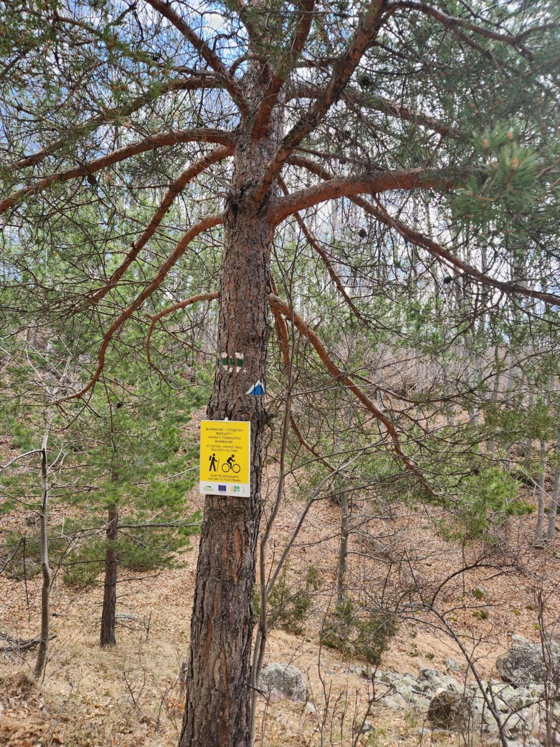
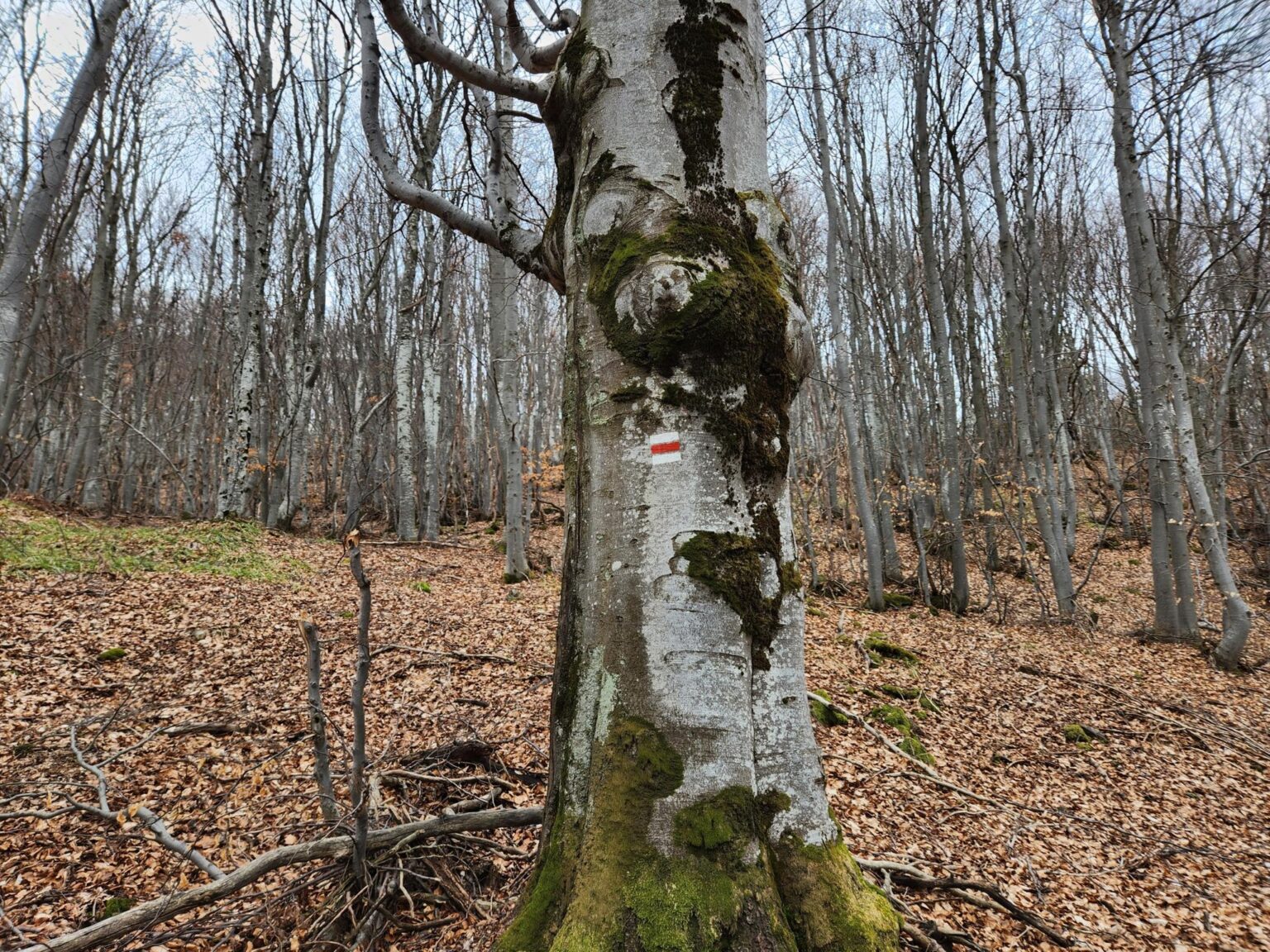
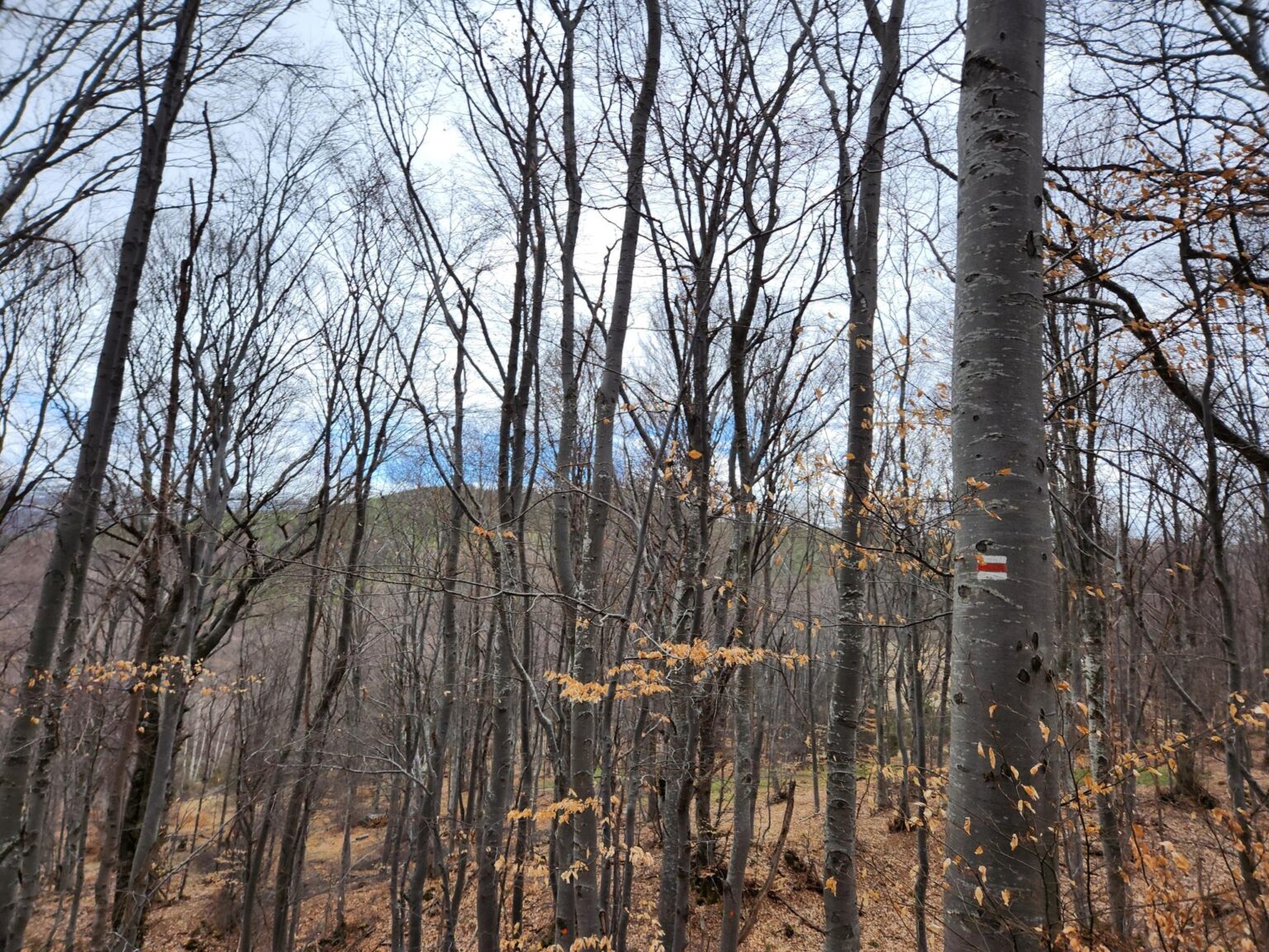
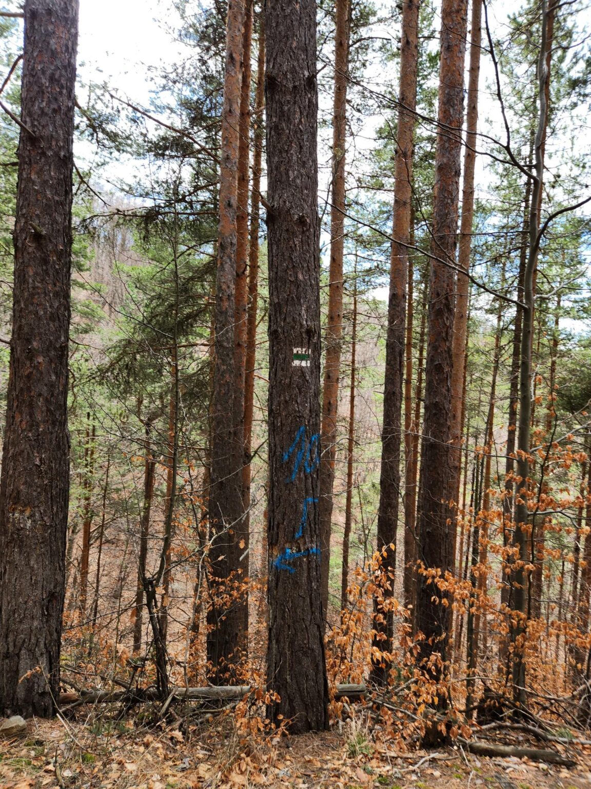
| Waymarking | White-green-white on the first stretch past the stone river, then white-red-white up to the shelter |
| Parking | Free, on the square with the drinking fountain in Chuypetlovo, ~200 m past the village sign |
| Nearby | Kafe Dani and a restaurant in Bosnek · stone river · the Struma for a picnic |
| Entry | Free access, no fees |
As I mentioned earlier this year in my short story about the Echo of Bells trail near Etropole, I’m on a mission to find the less famous places for a walk. A bit of reading, a bit of searching, a bit of chatting with friends, and the idea of Chuypetlovo was born. (Yes, “Chuypetlyovo” sounds more natural to me too, but that isn’t the name.) It’s a pretty little village close to Sofia. It sits past the village of Bosnek. In other words, take the Lyulin motorway and it’s off to the left of Studena. In theory, the trip is under an hour’s drive from Sofia and two easy hours on foot. In practice? “Ha!” for the second time. I’m picking up writer’s tics from all this writing. We’ll find out below 🙂
I’ll leave a little something here to keep you hooked.
The route
What an incredible intro, you’re thinking. This must be an incredible article, can’t wait. Close 😀 Sadly, this is a short walk. If it had turned up in any of my other travel stories, it would have been a gallery of 10 photos and three sentences. So I’ll have to pad it out a little. In Bulgarian we call this “stretching the Turkish delight”, and you’re about to see why. Then again, there isn’t much information about this place online, and what exists isn’t complete. Twice during the walk I was convinced I’d got lost. So, stretching the Turkish delight it is. Let’s start from the very beginning. The route I chose is about 7–8 kilometres long, with 250 metres between its lowest and highest points.
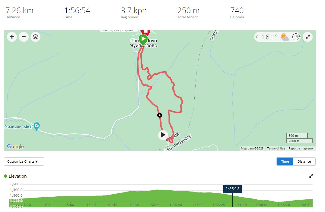
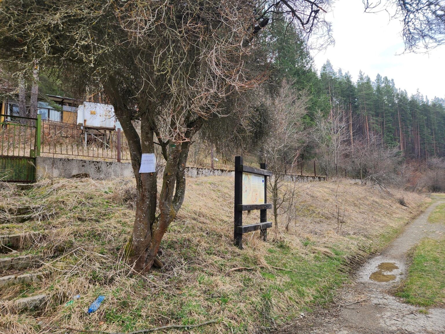
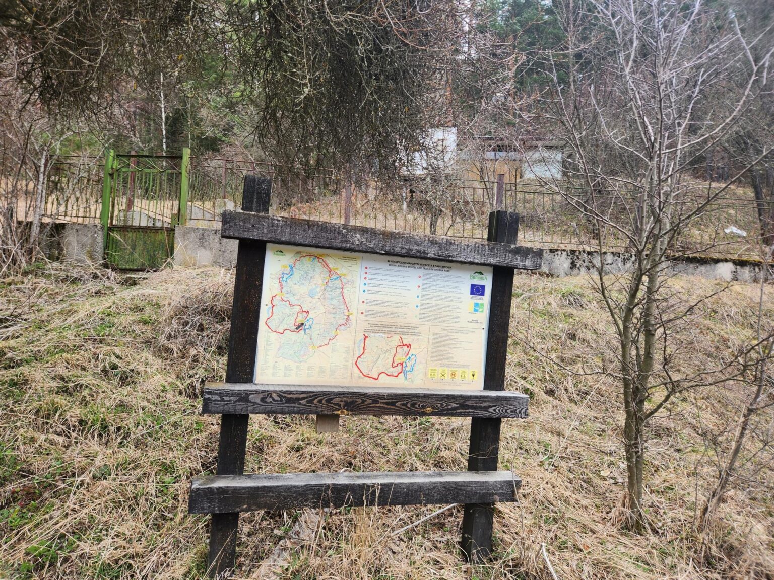
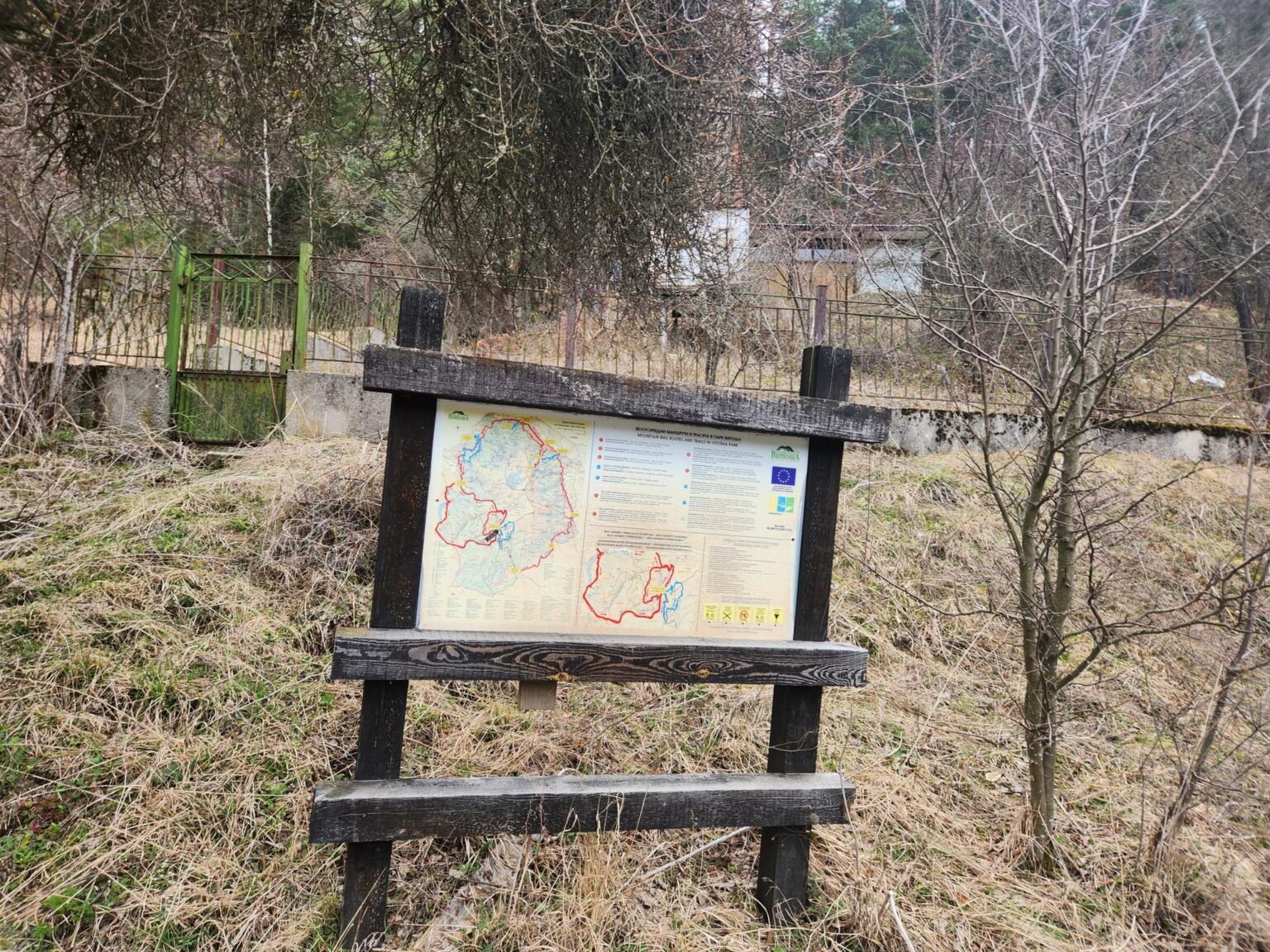
“The route I chose?” you’re still wondering. We’re on the southern slope of the mountain here, walking part of Vitosha 100 km. There’s no single “Trail X” as such, but there are plenty of routes. A fairly easy and popular one runs from Chuypetlovo up to Smilyo shelter, even though it isn’t listed on the signboards showing all the possible routes. Once you’re on any of the paths, you can end up almost anywhere: at Cherni Vrah, or even all the way down in Zheleznitsa. For my purposes, I settled on a loop. It starts at the very beginning of Chuypetlovo (right after the village sign, on the right) and climbs to the shelter. On the way back, it comes out onto the main road from Bosnek about a kilometre before the village. Right, off we go!
The start
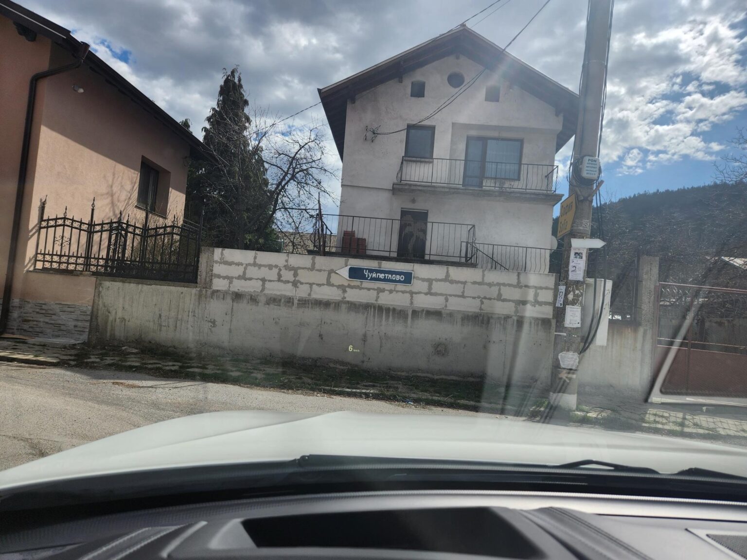
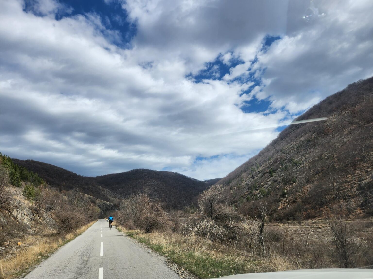
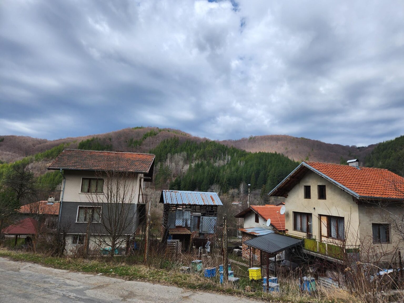
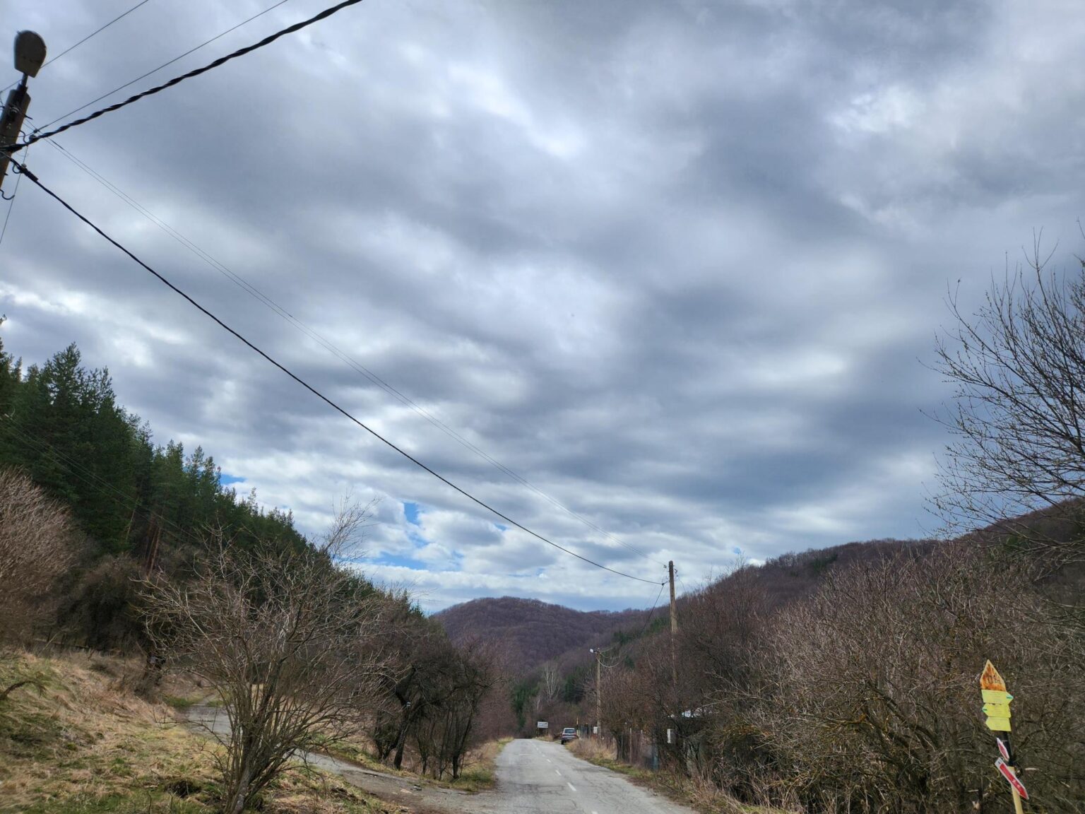
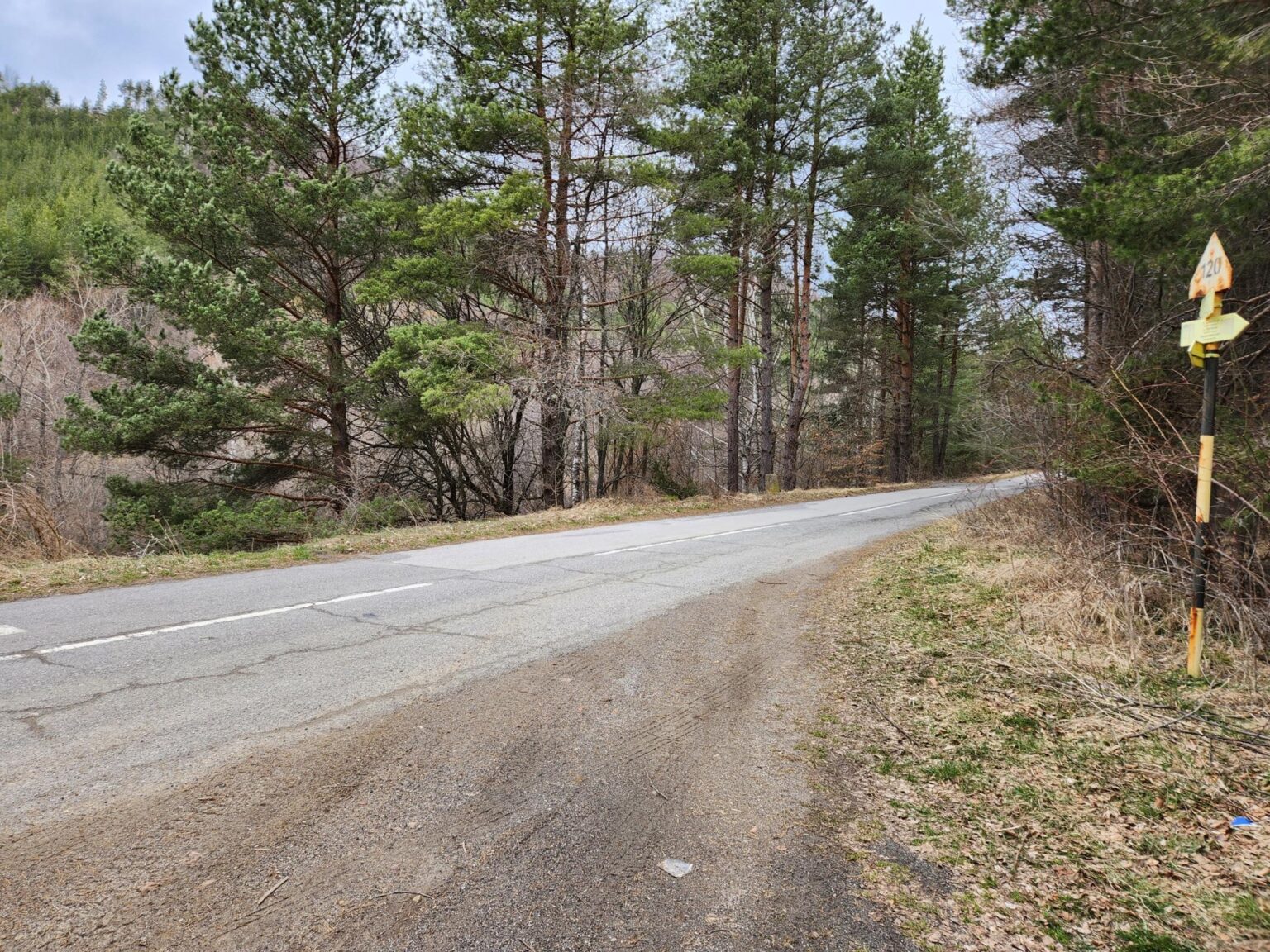
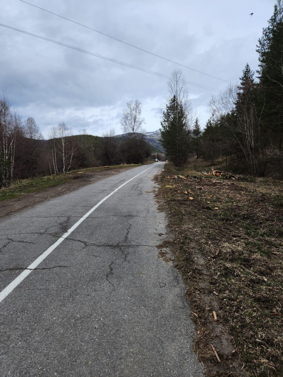
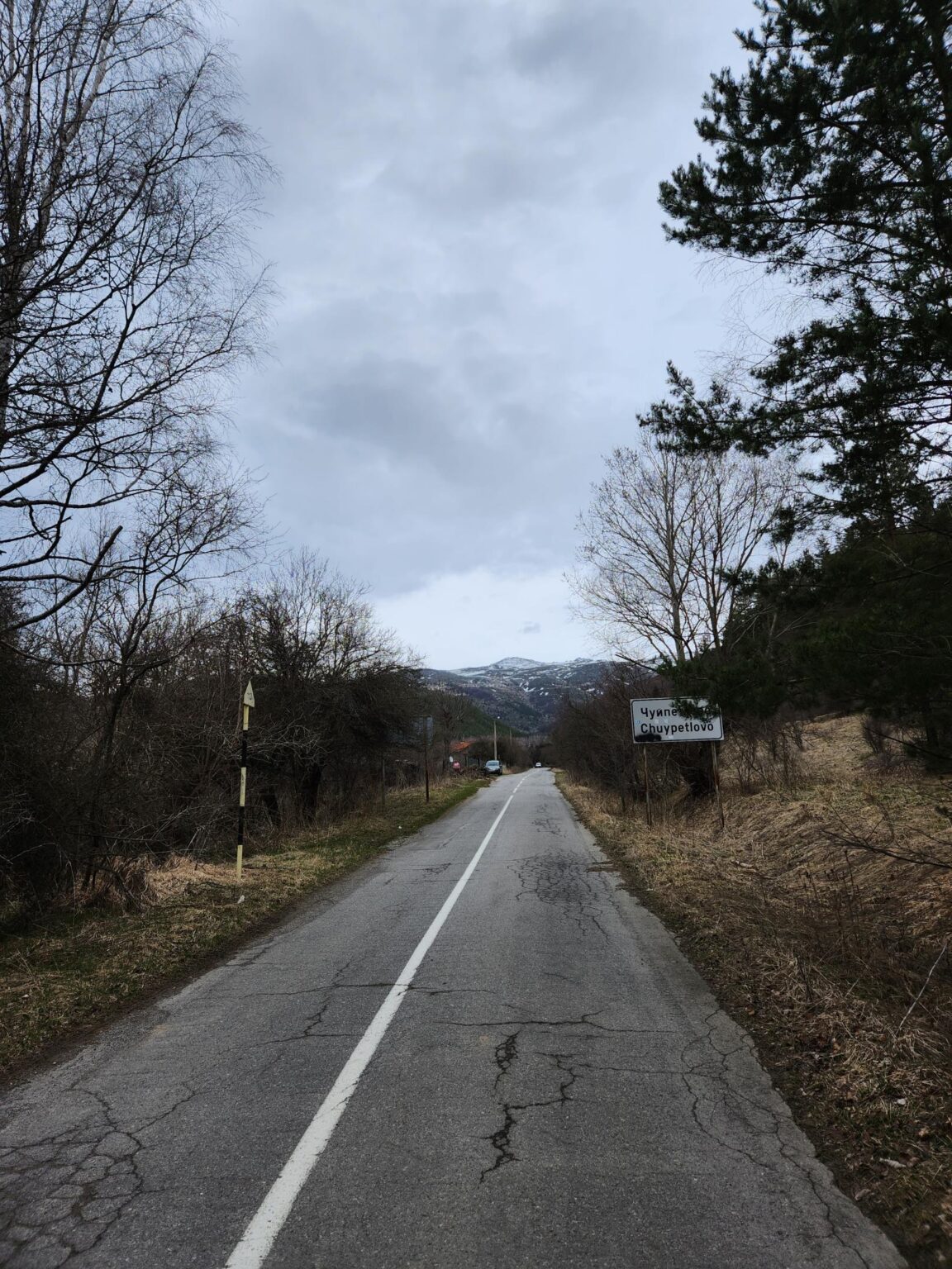
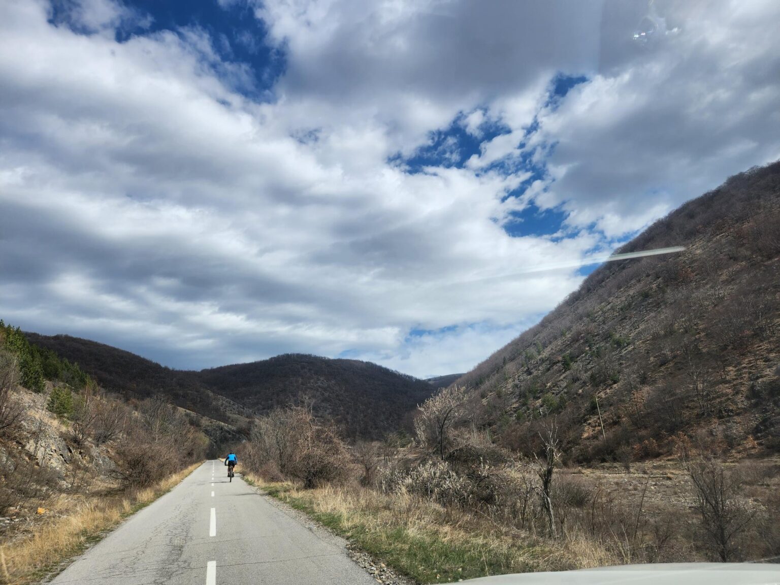
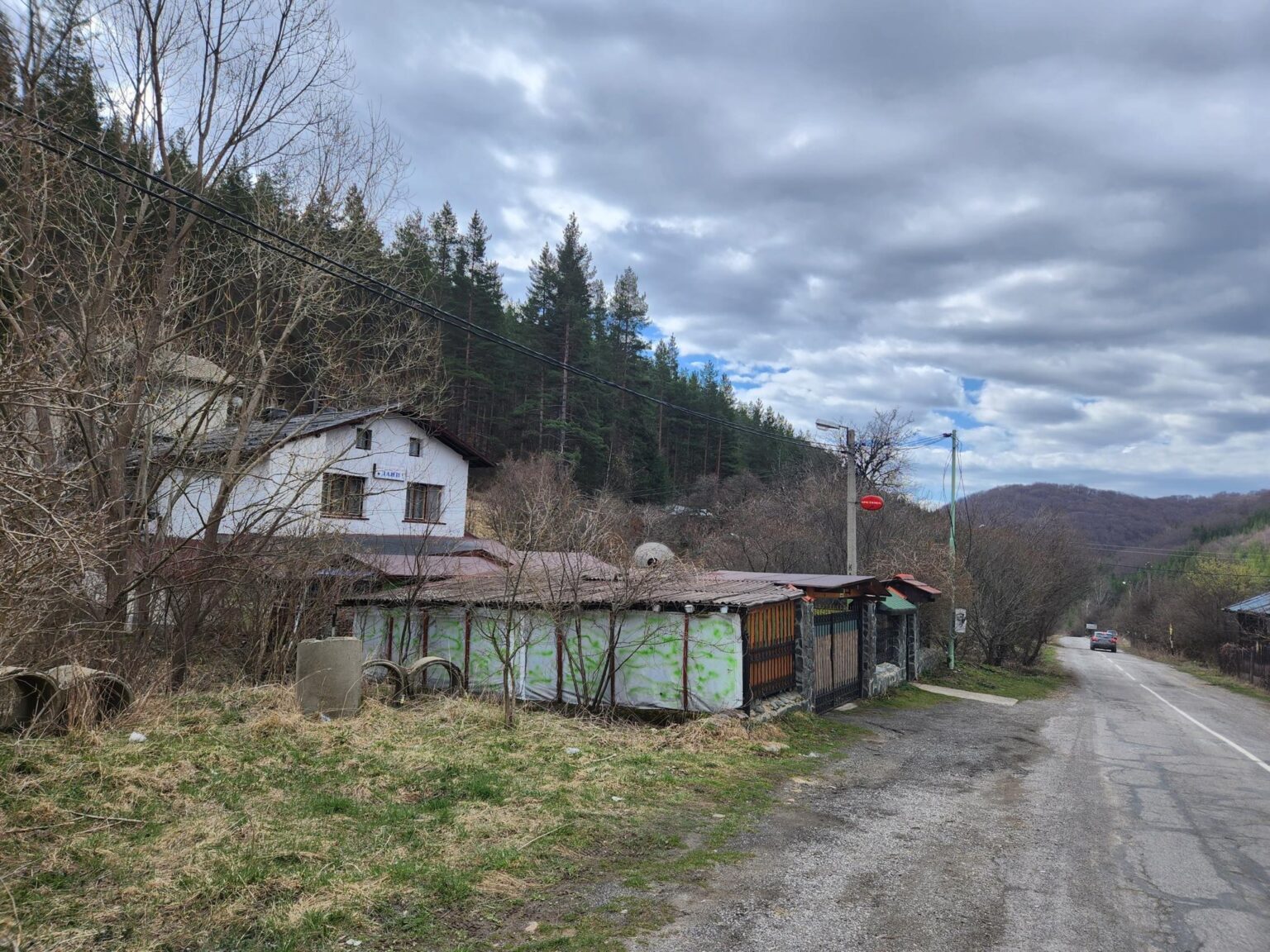
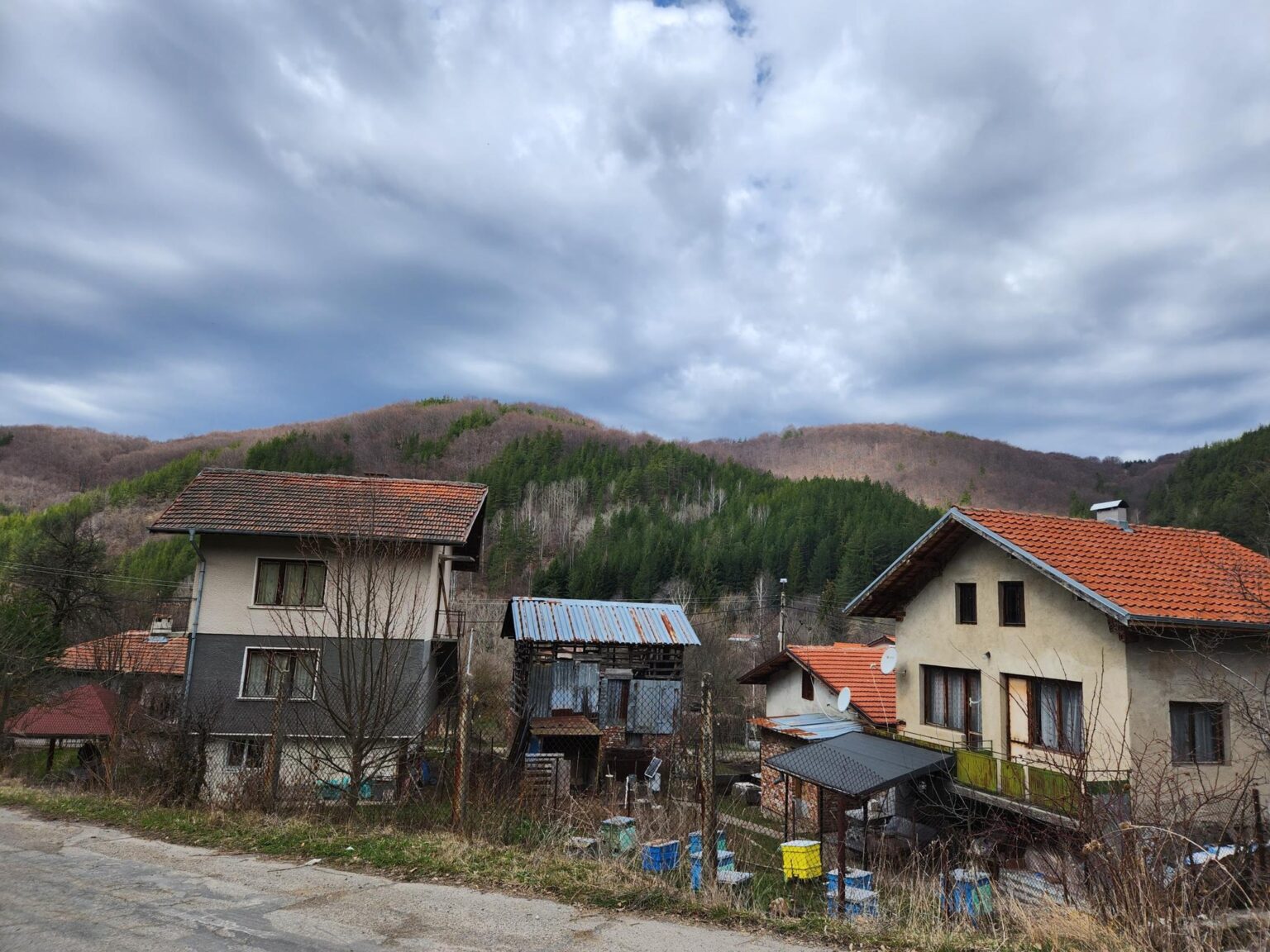
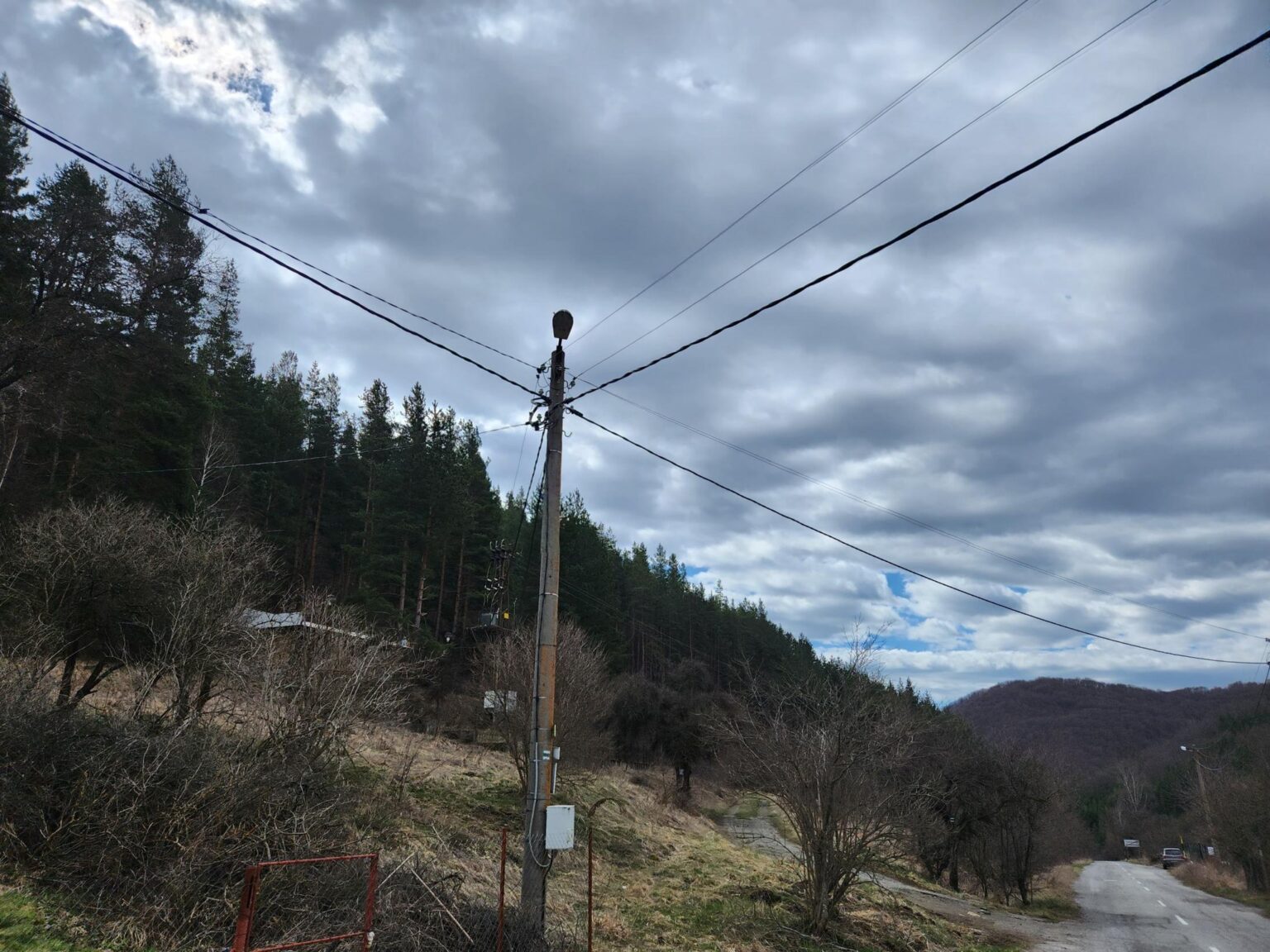
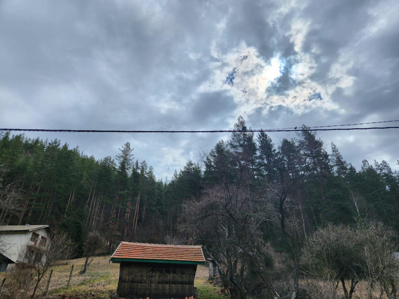
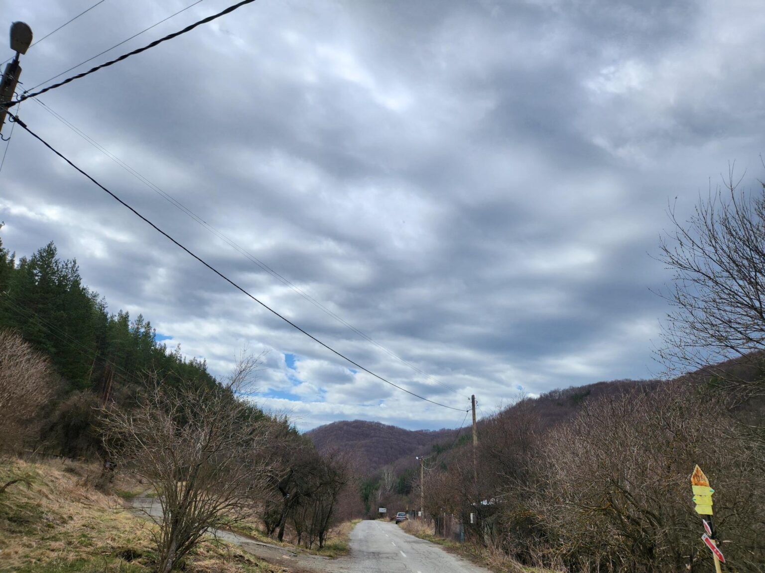
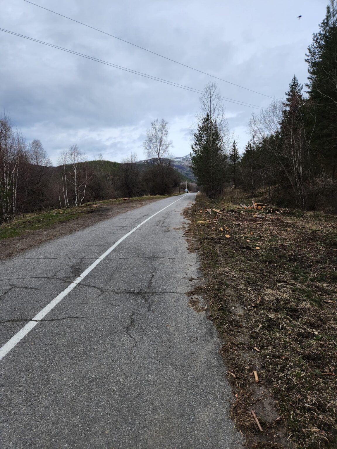
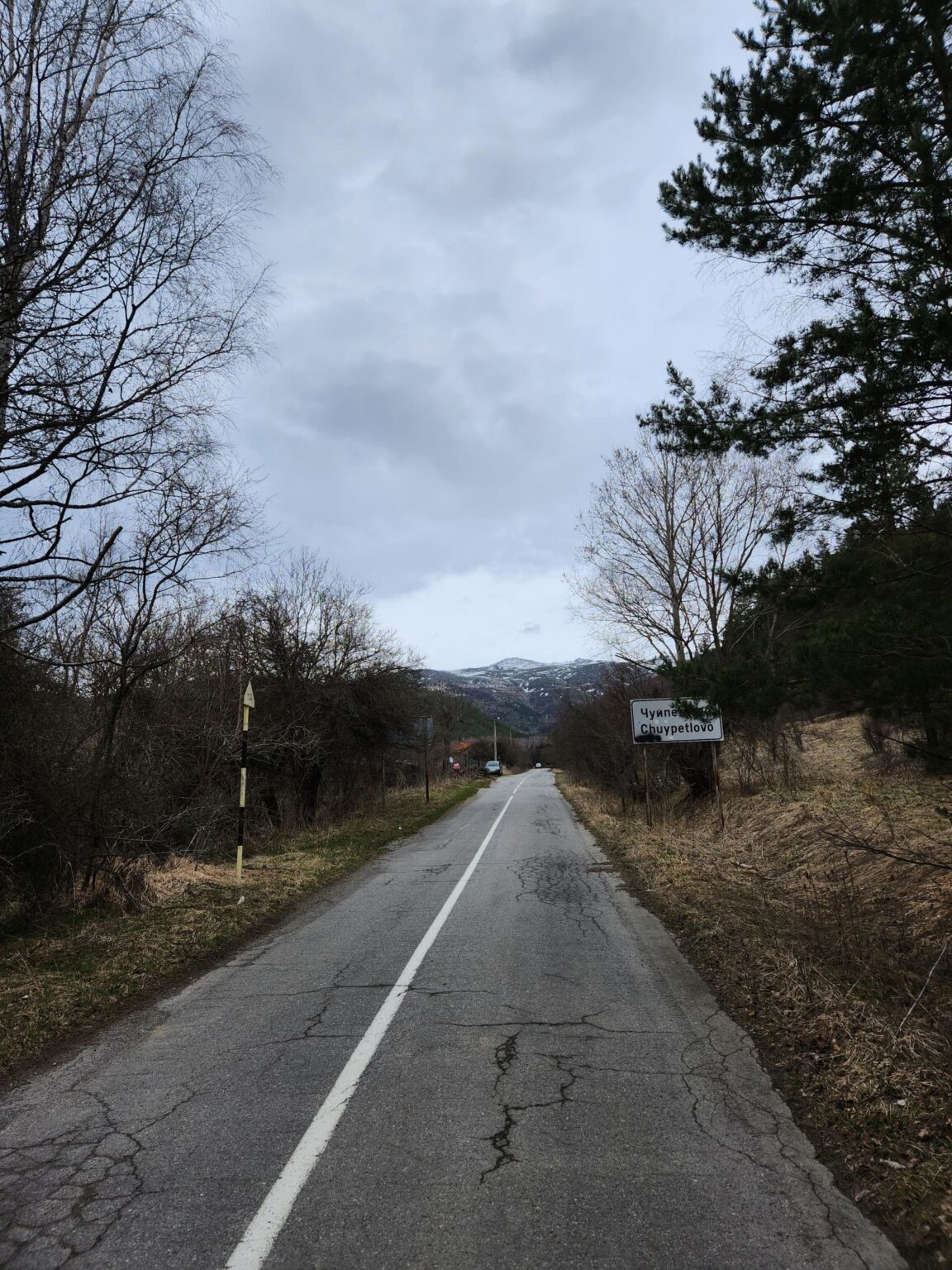
You reach Chuypetlovo on a narrow asphalt road. It’s not top quality, but any car can manage it. Something struck me straight away. We’re right next to Sofia, 20-odd kilometres out, on Vitosha. Fine. So why does it feel like we’re in the Rhodopes?! Driving the road: Rhodopes. Passing through Bosnek and its houses: Rhodopes?! How strange, and how interesting. I loved it. The nature, the Struma river, the little houses all say Rhodopes, and at over 1,100 metres above sea level at that.
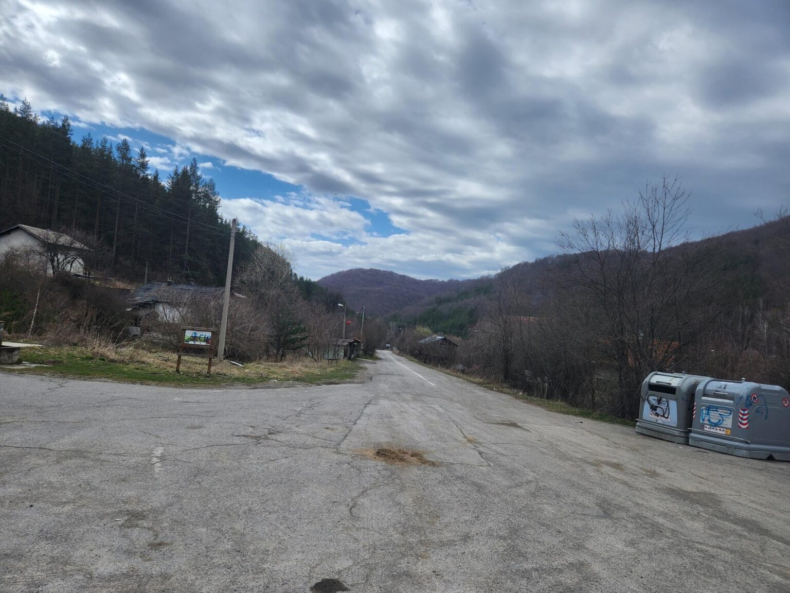
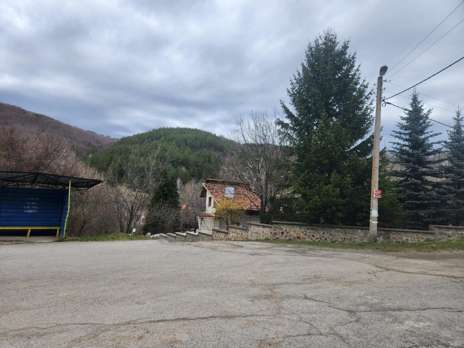
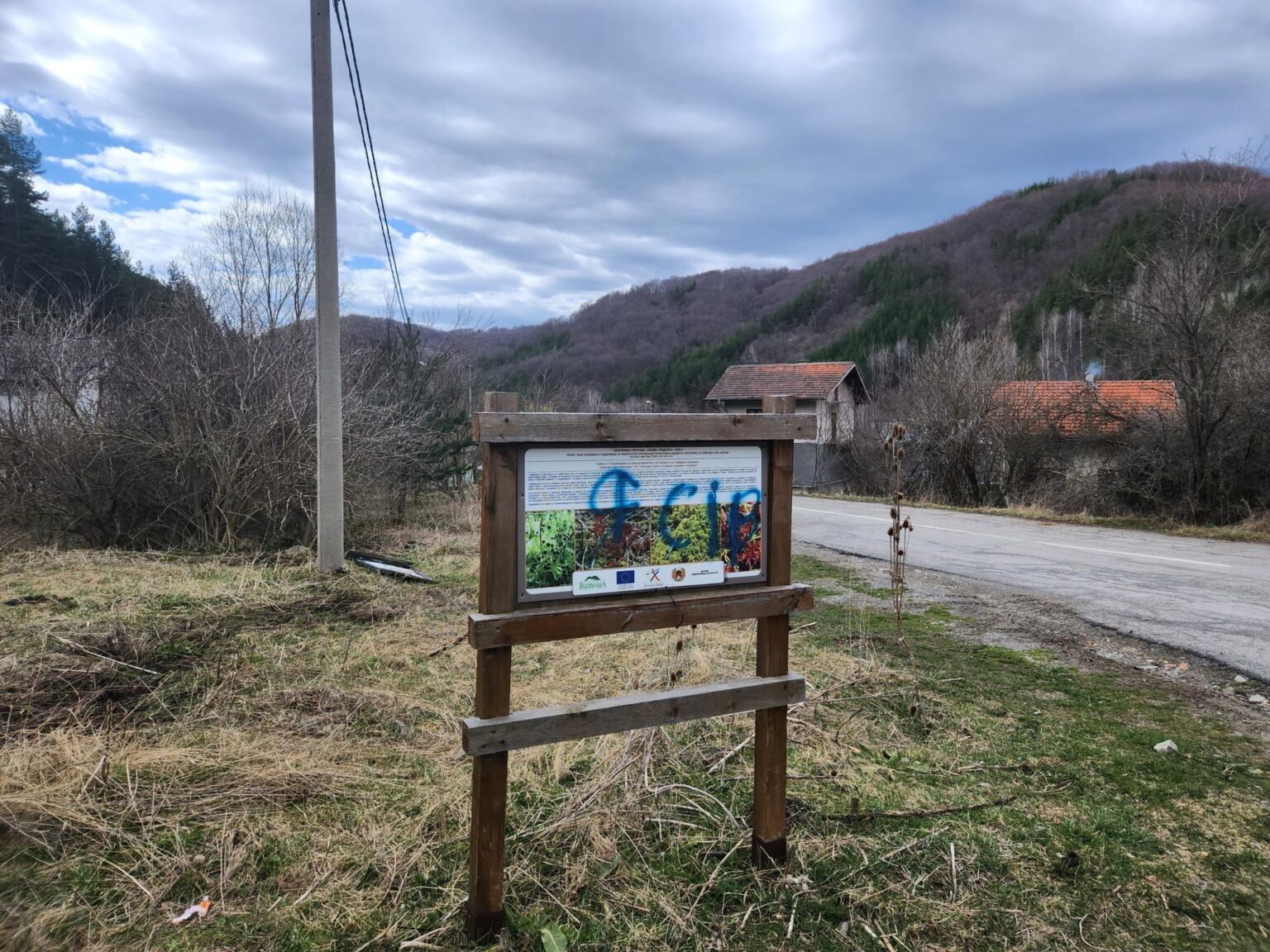
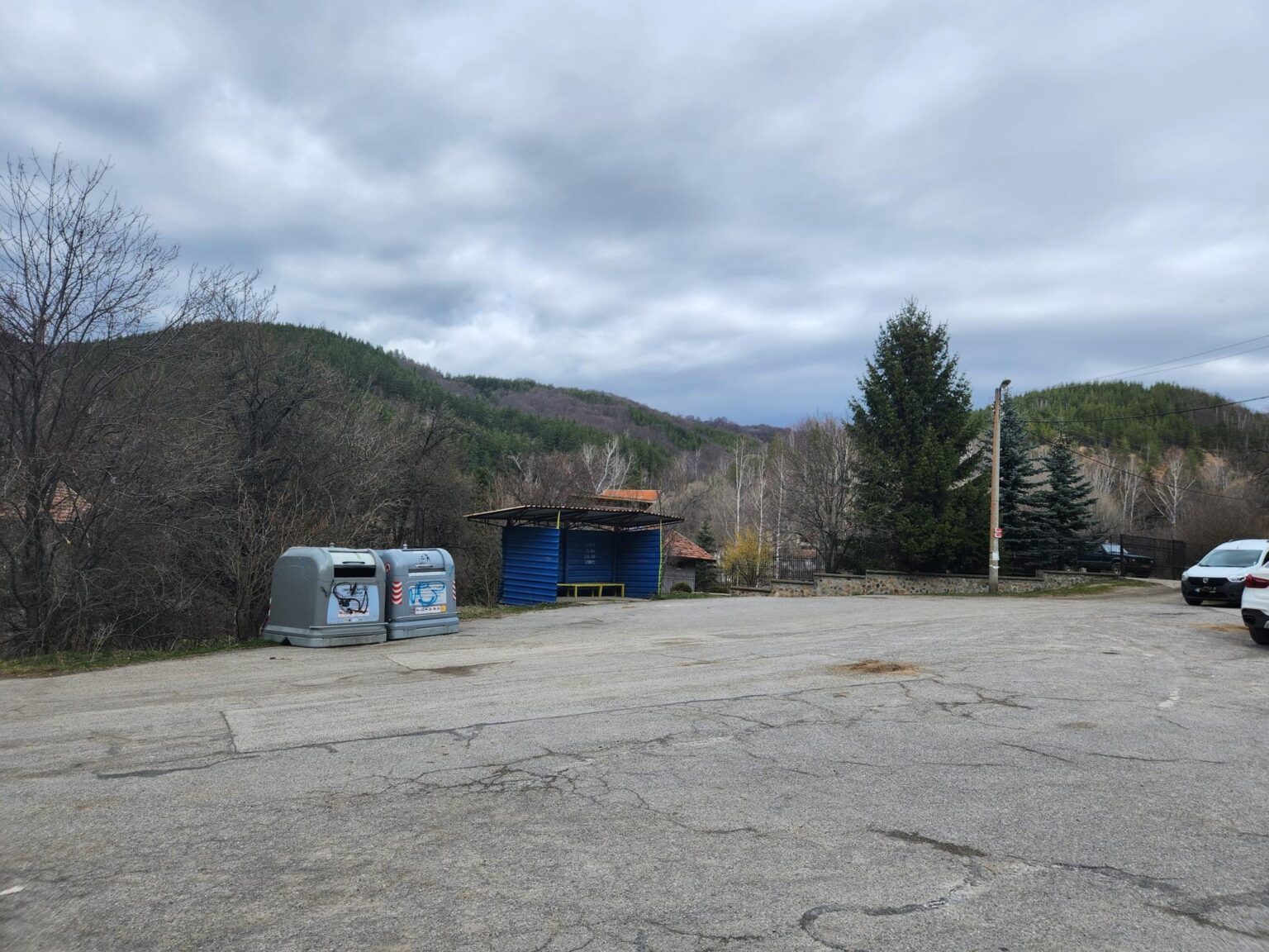
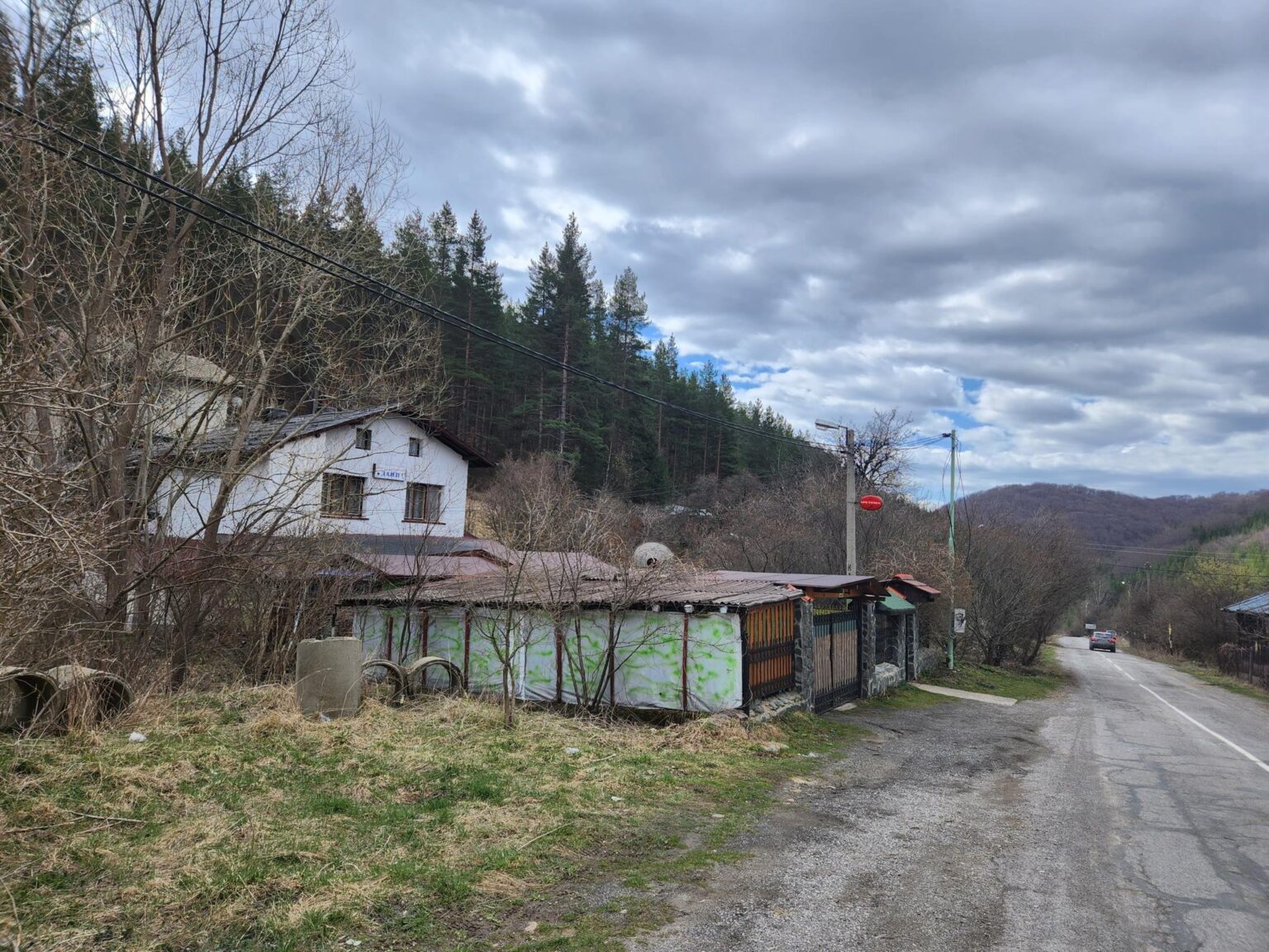
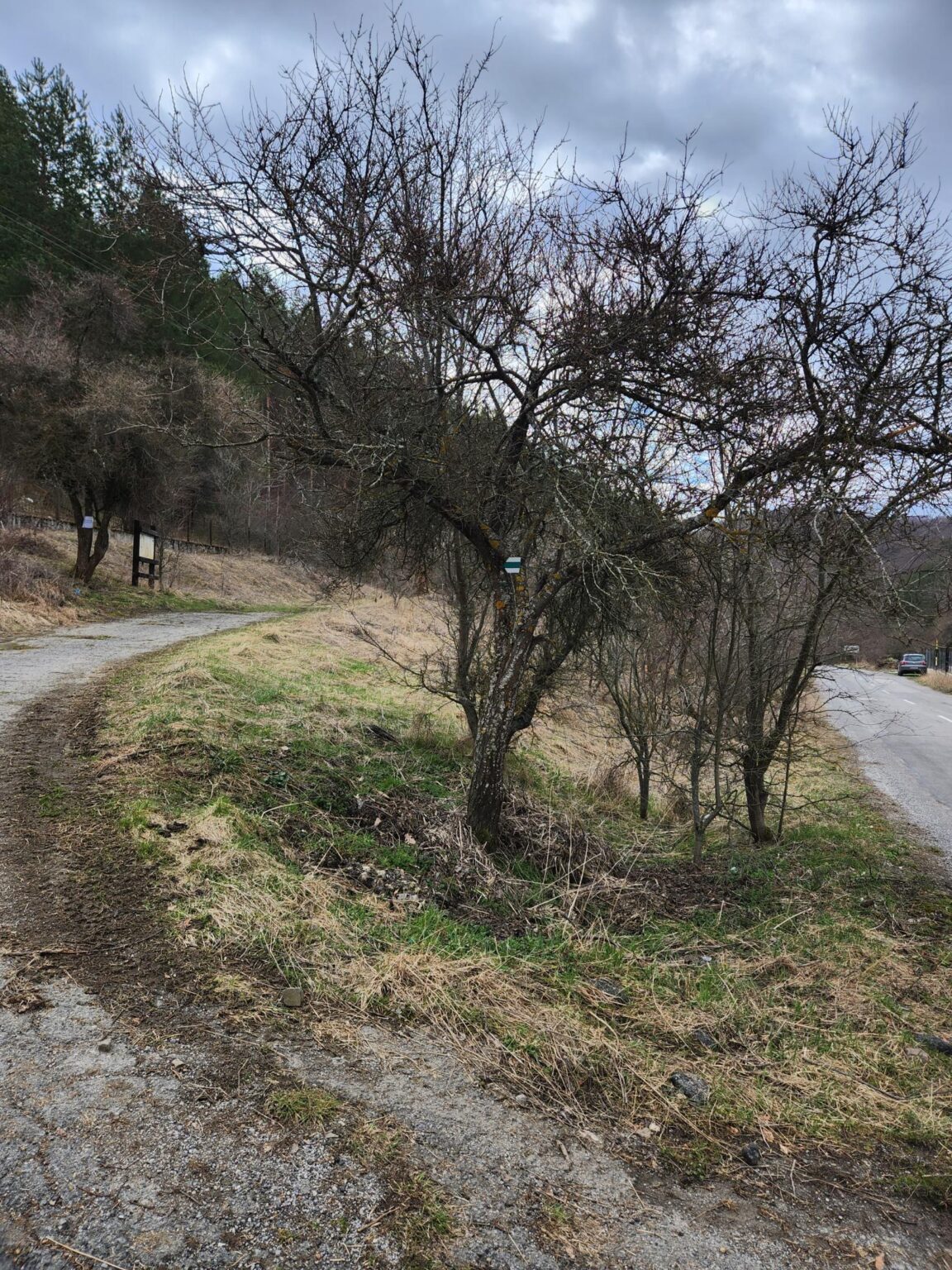
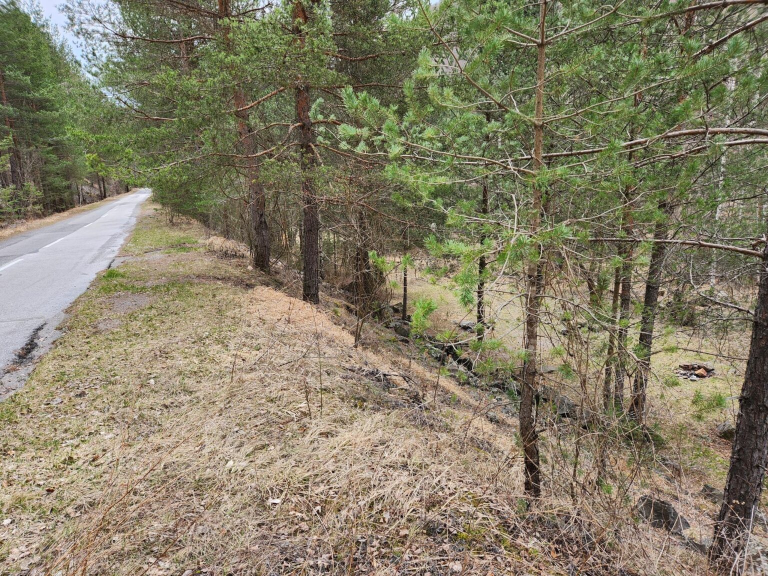
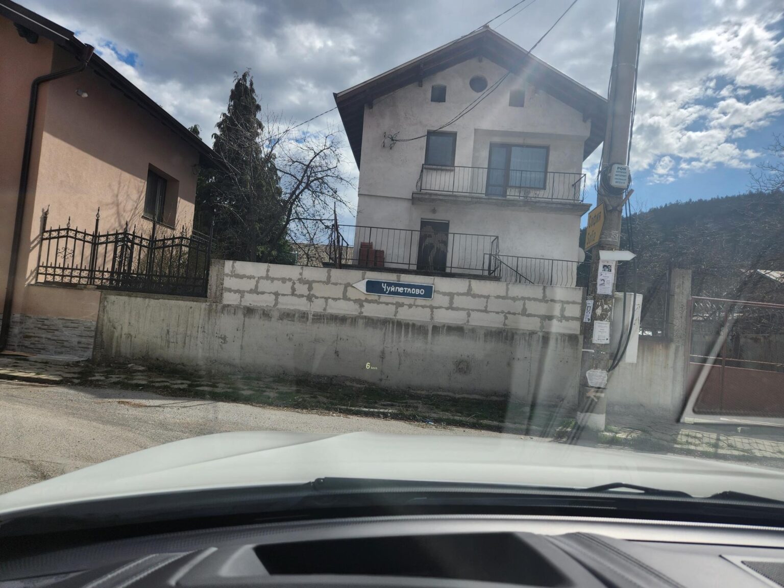
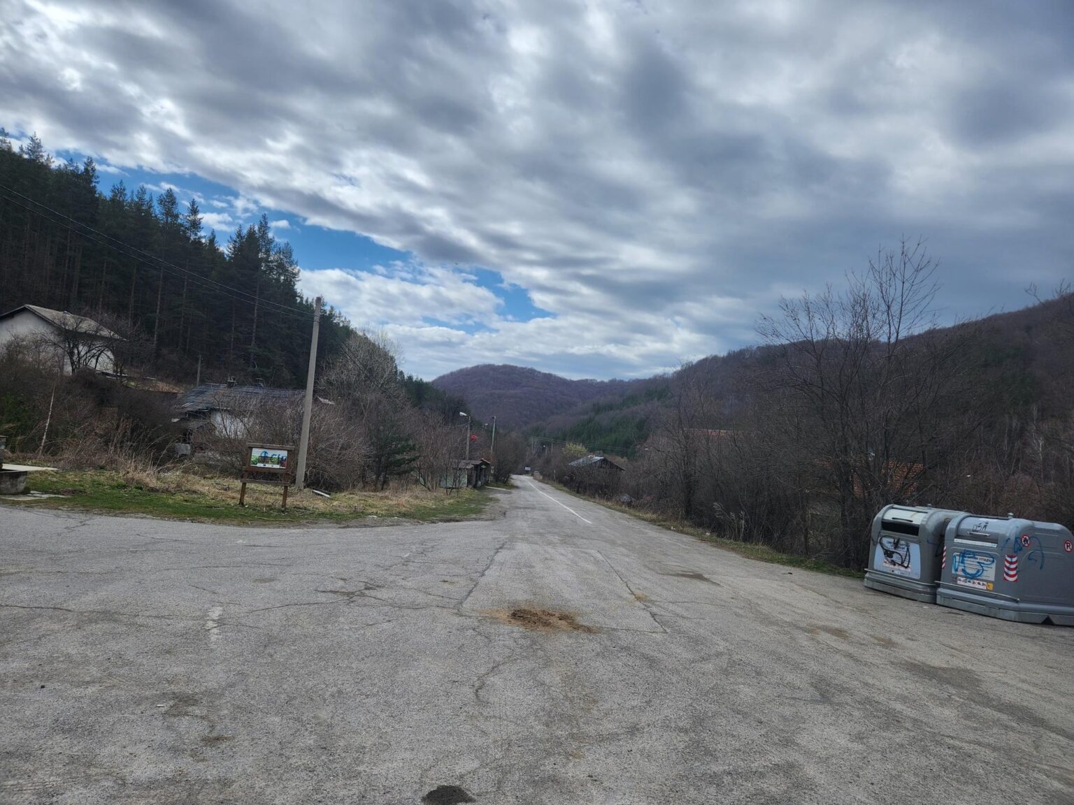
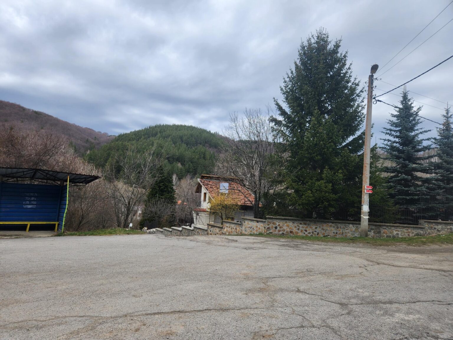
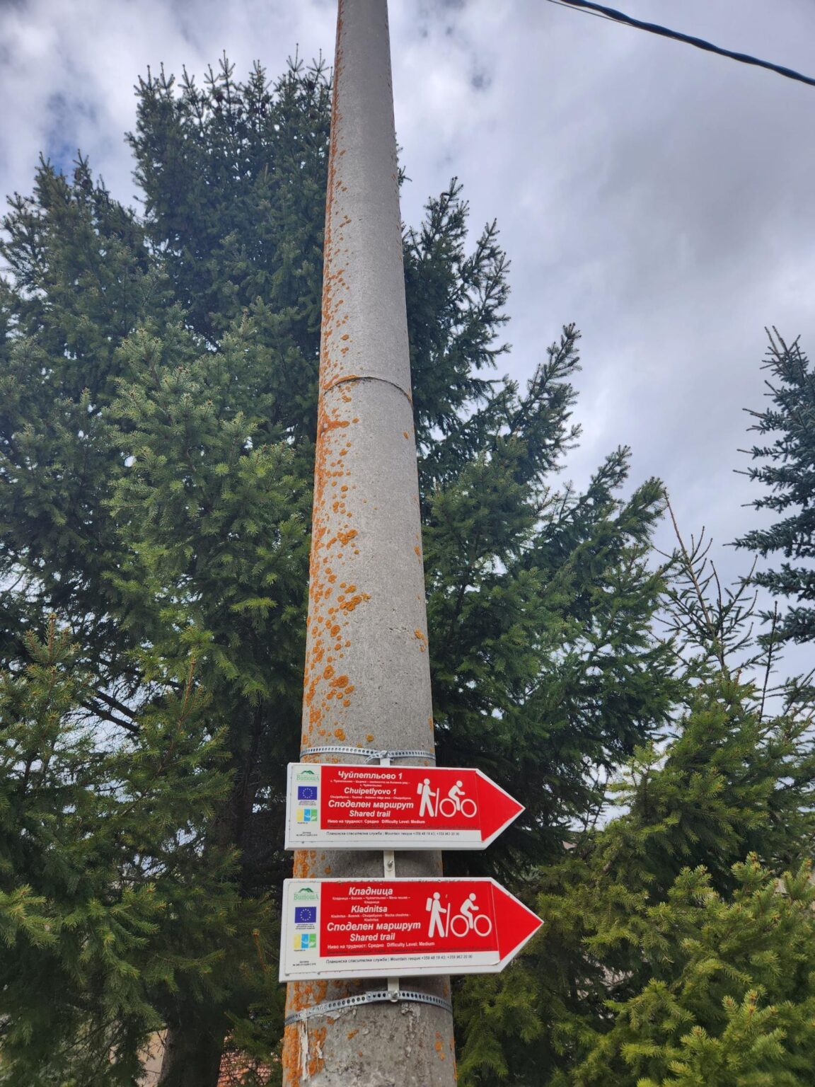
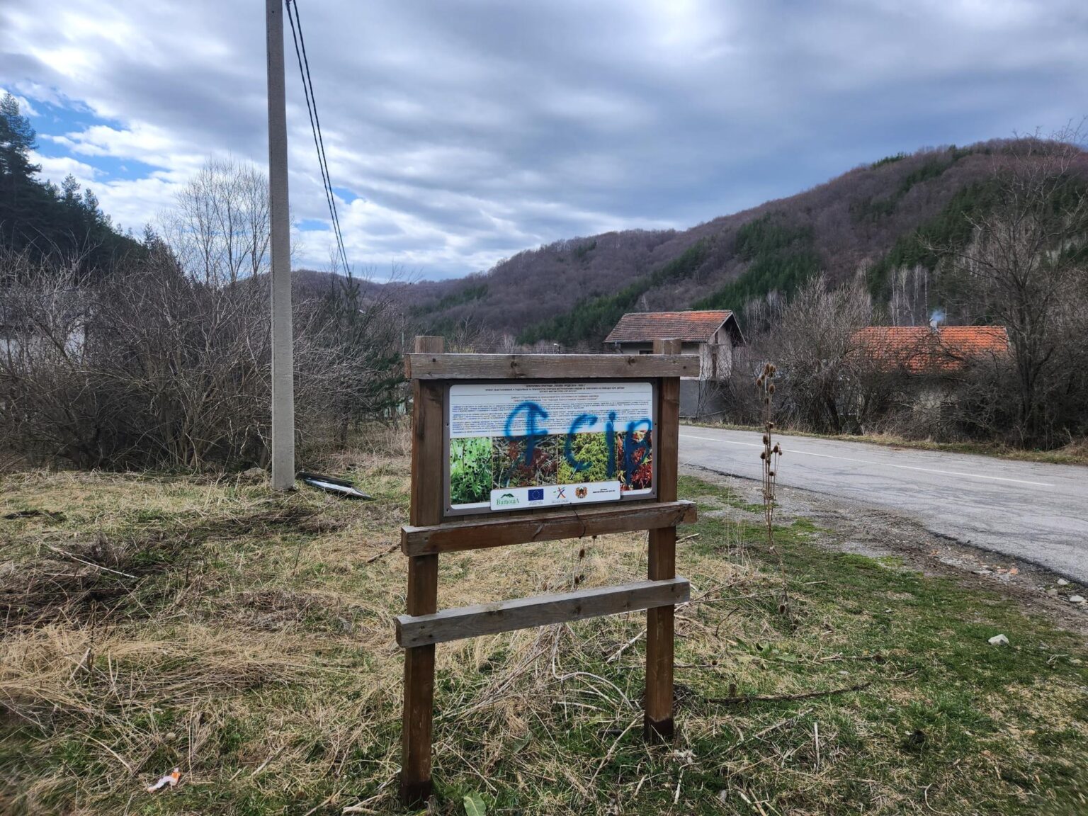
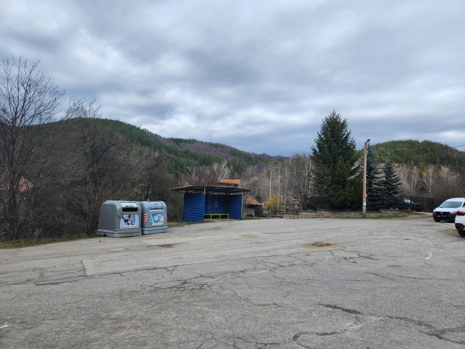
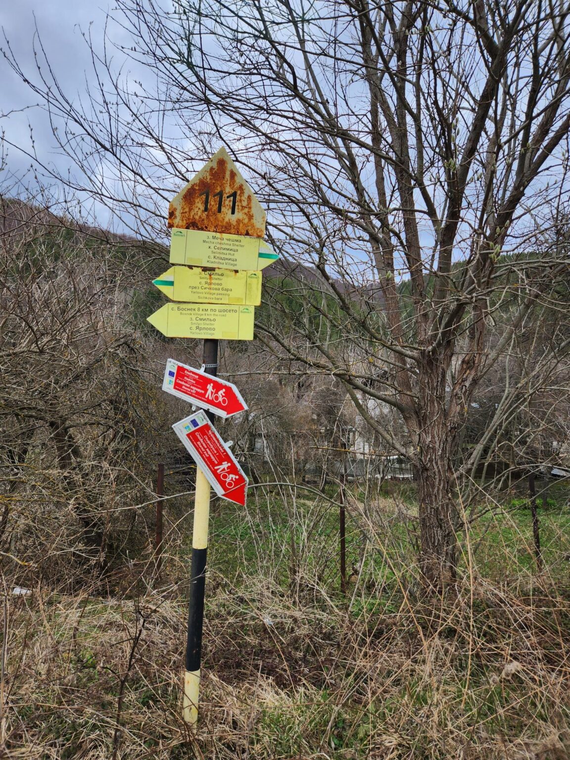
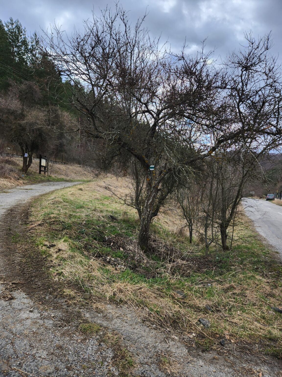
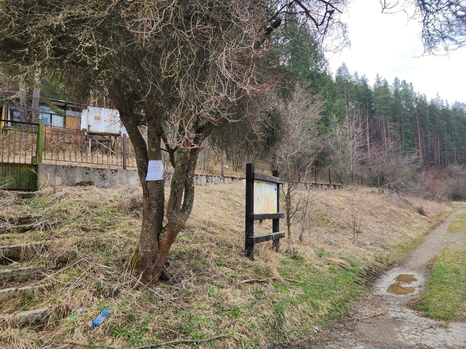
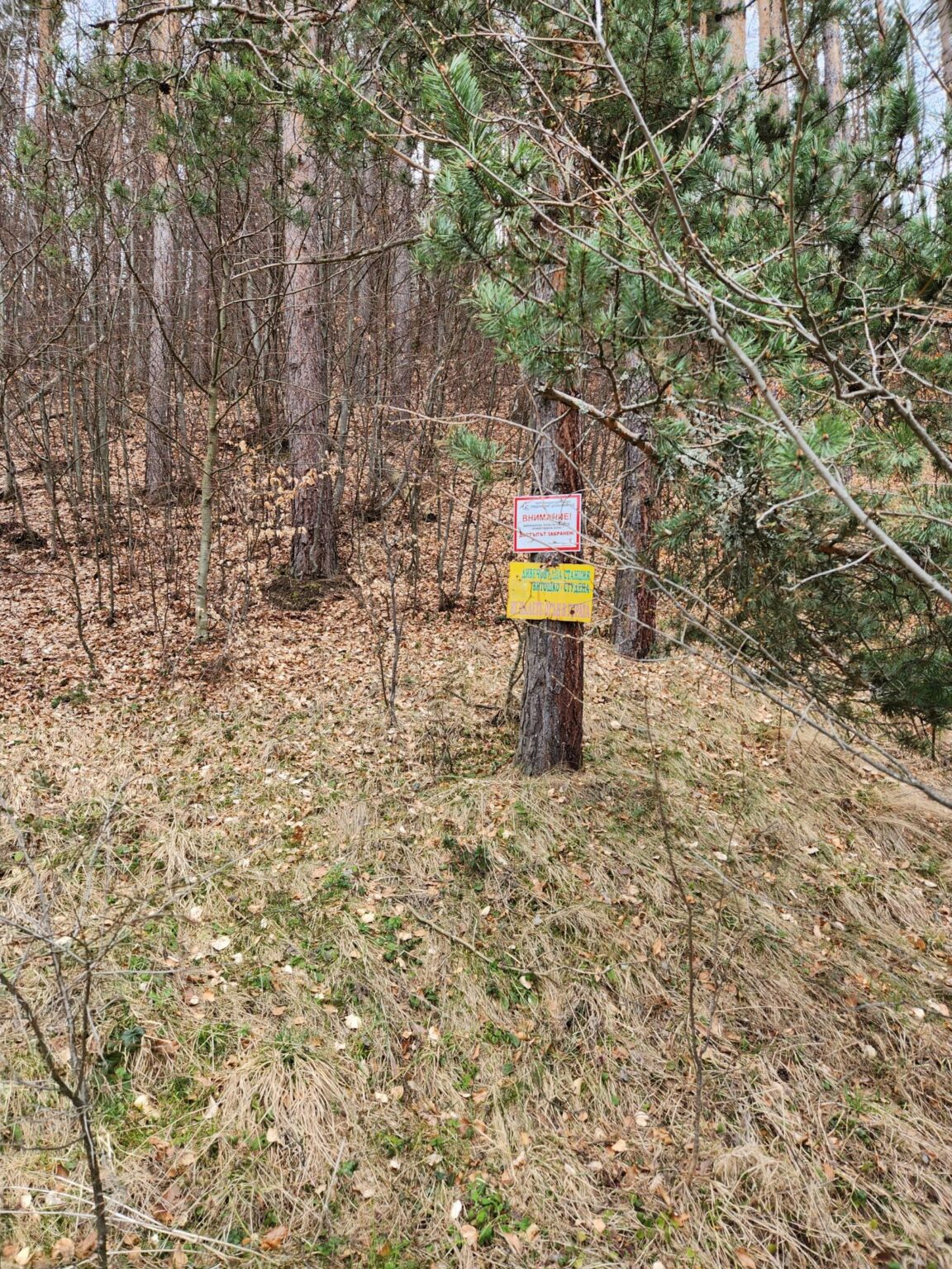
On we go. It’s best to drive past the Chuypetlovo sign and carry on for about 200 metres to a sort of central square with a drinking fountain. You can park there without any worries. Walk back towards Bosnek, past Kafe Dani, and you’ll see a sign on the left straight away.
On the trail
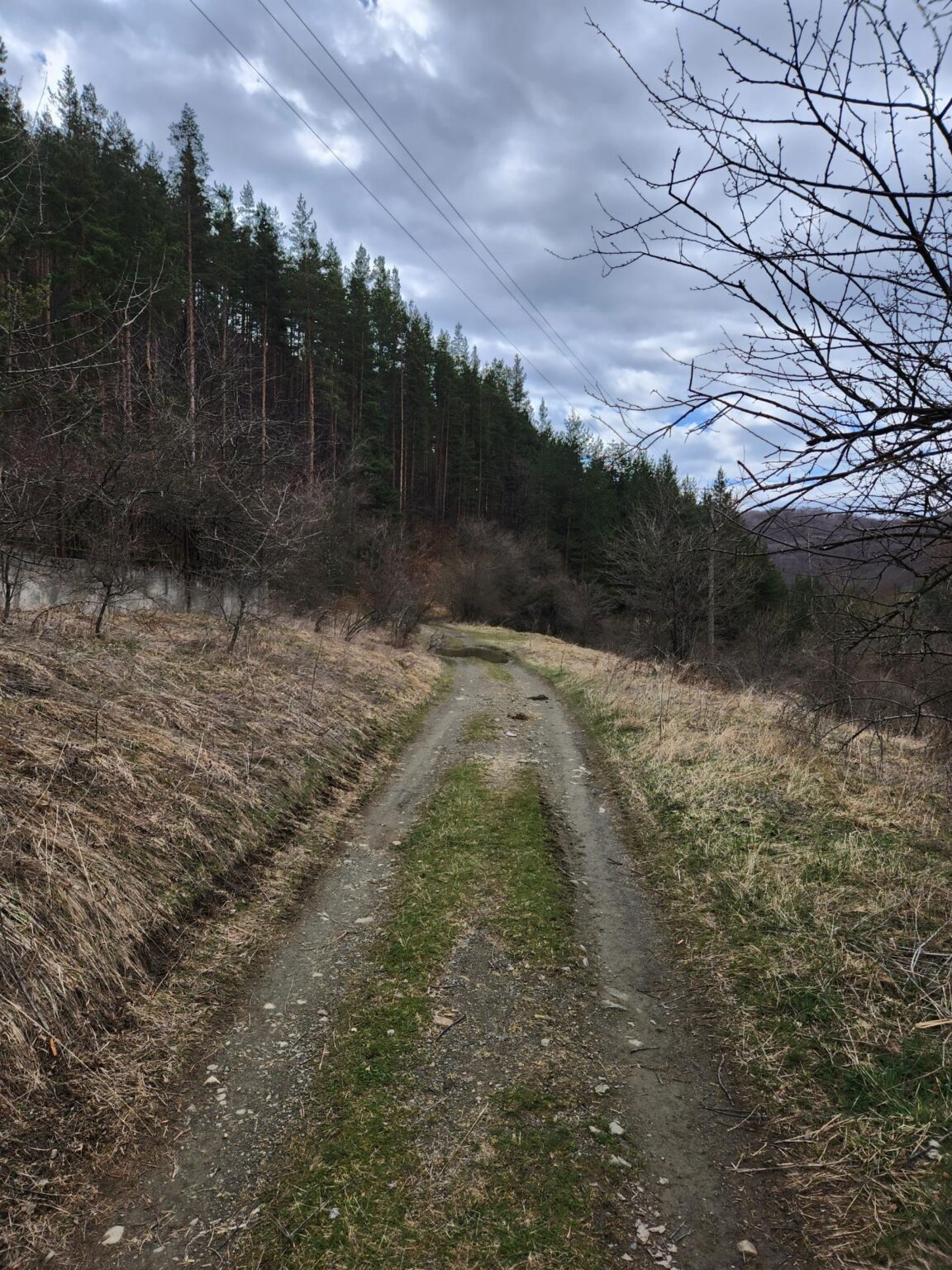
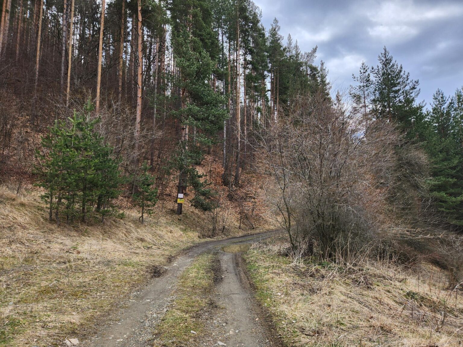
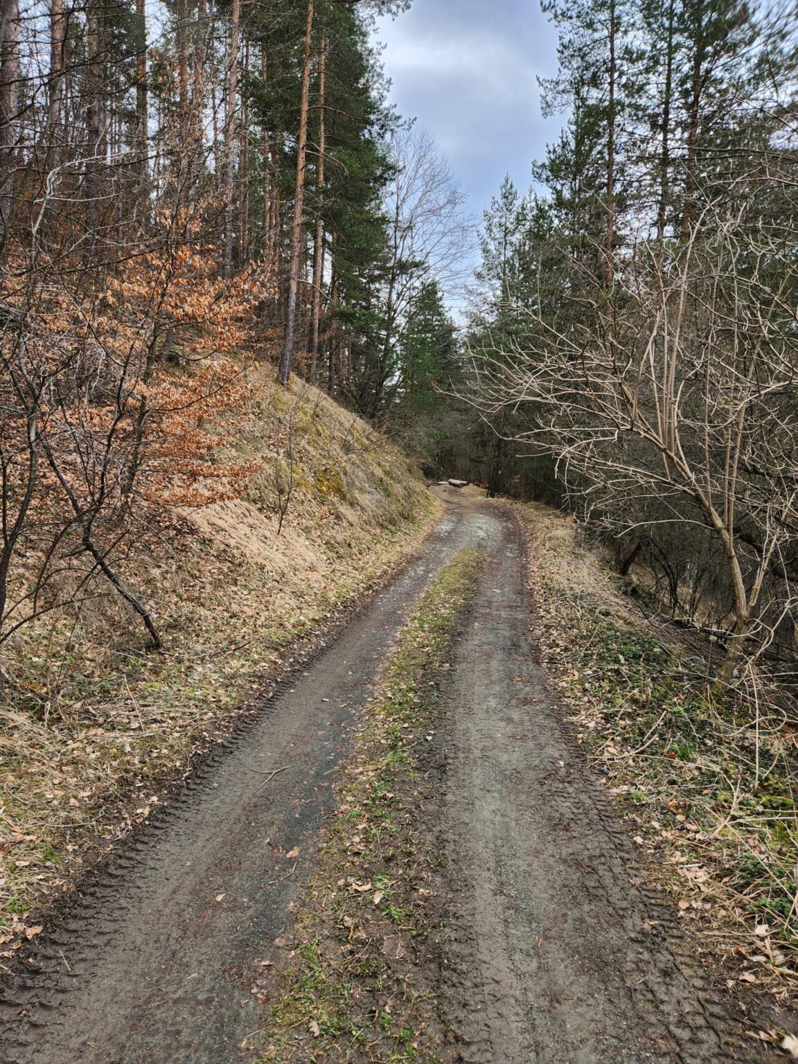
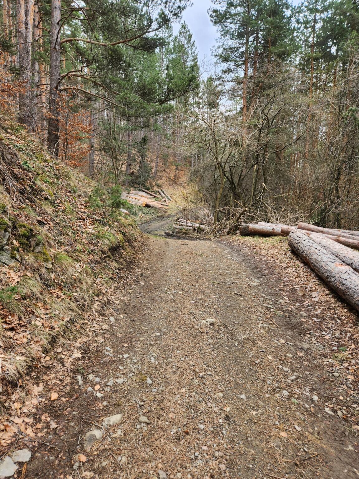
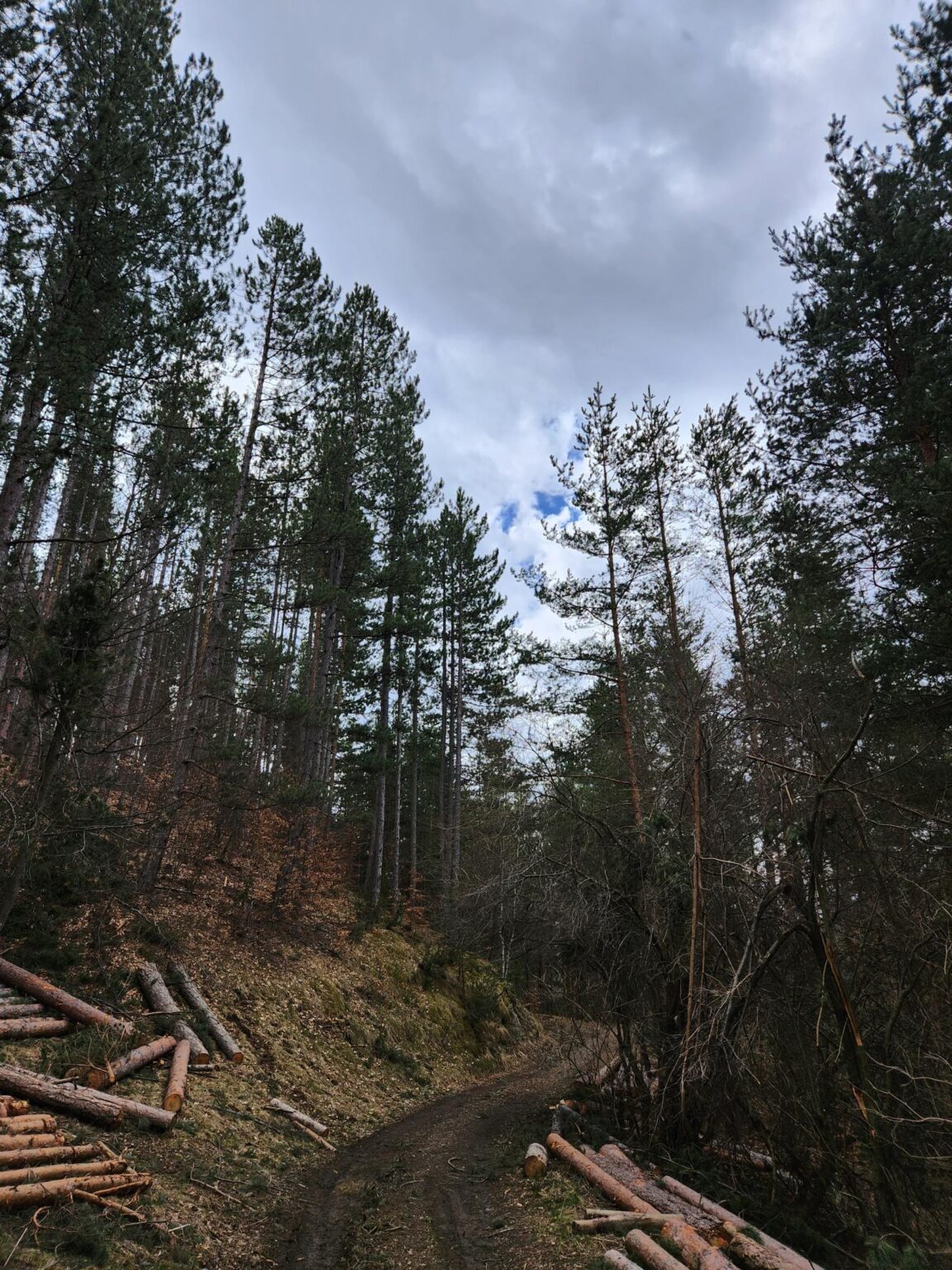
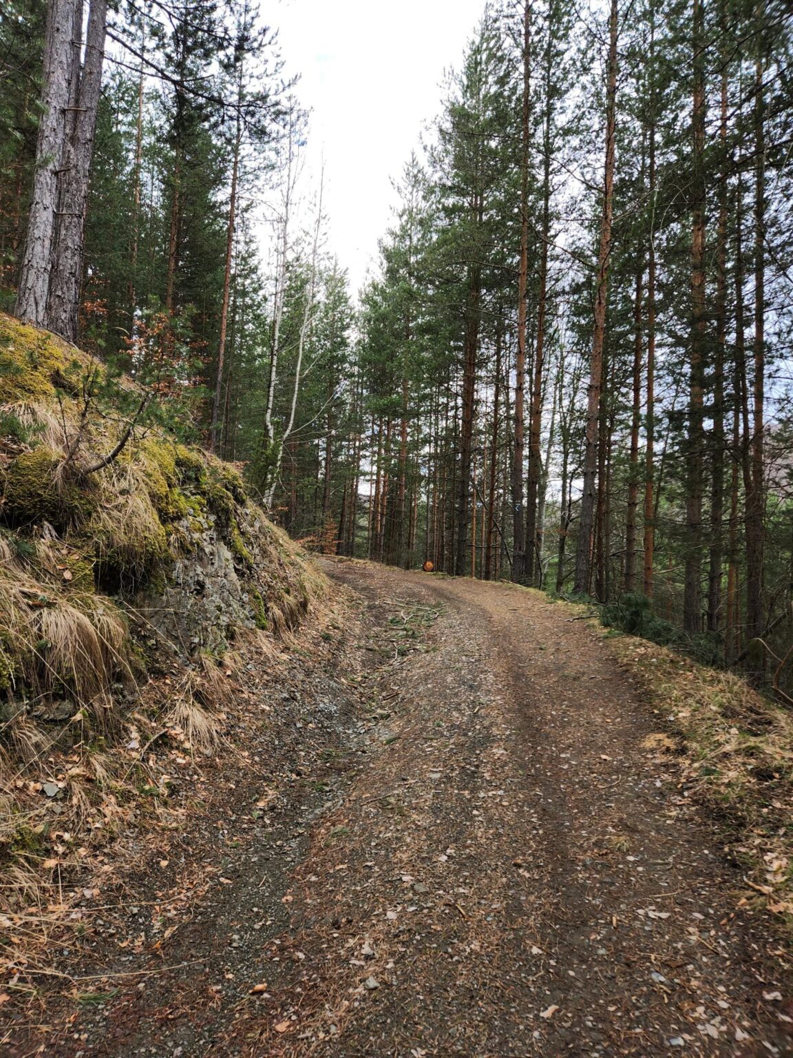
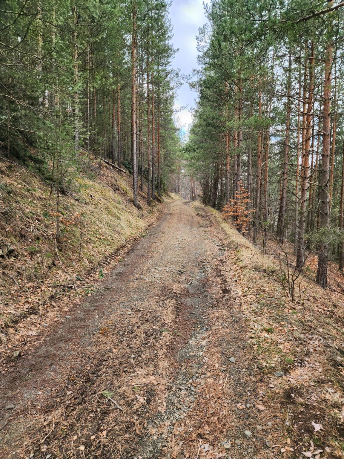
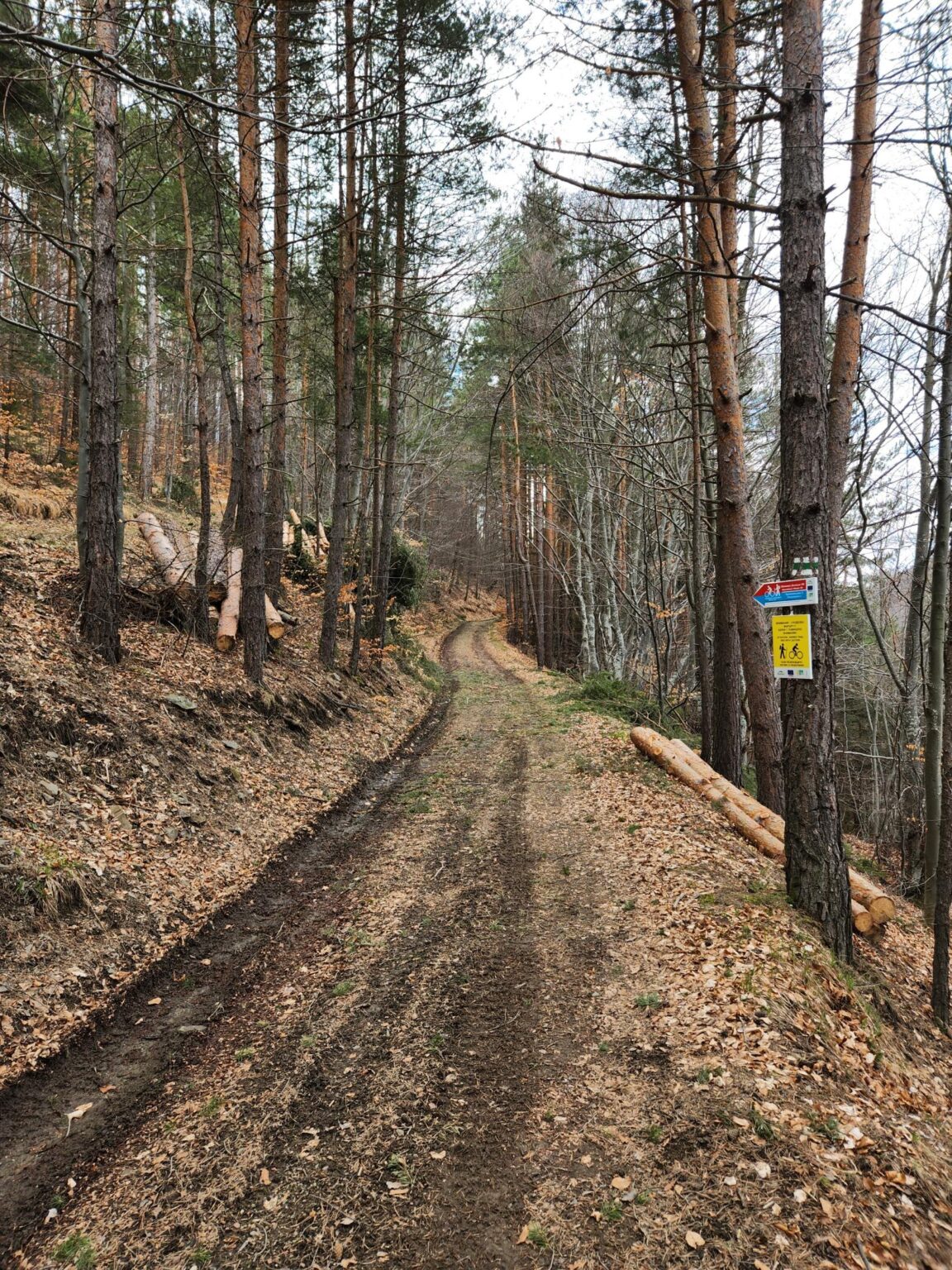
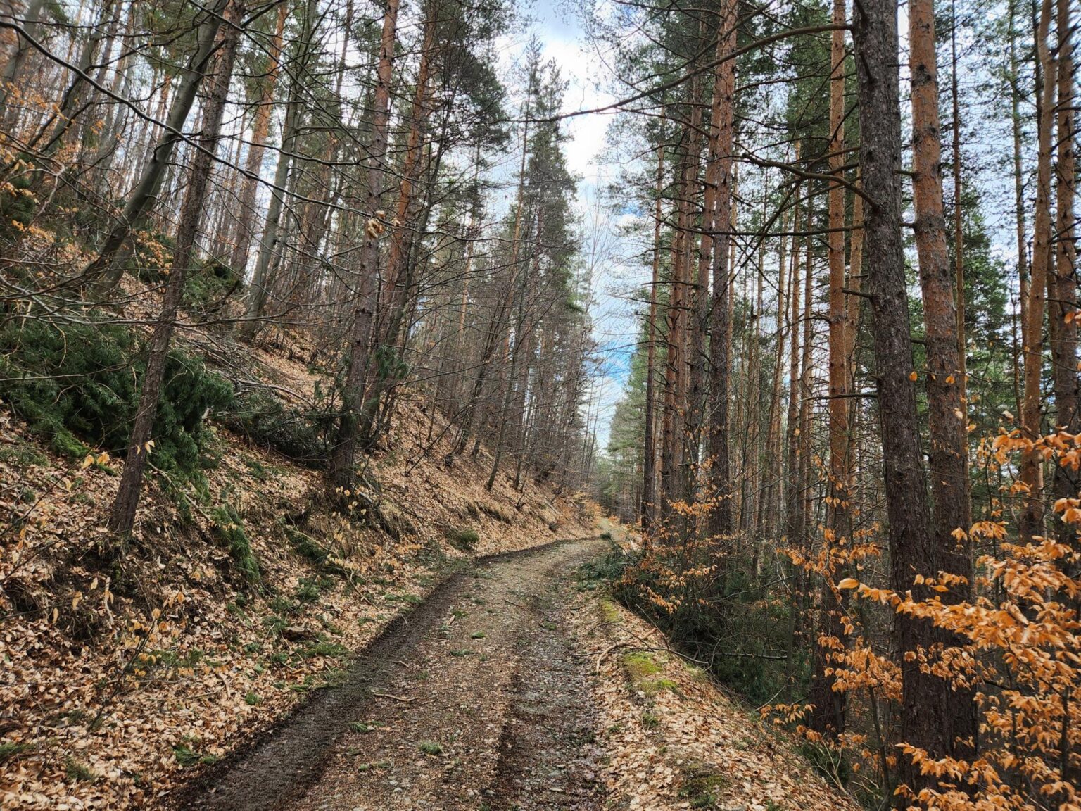
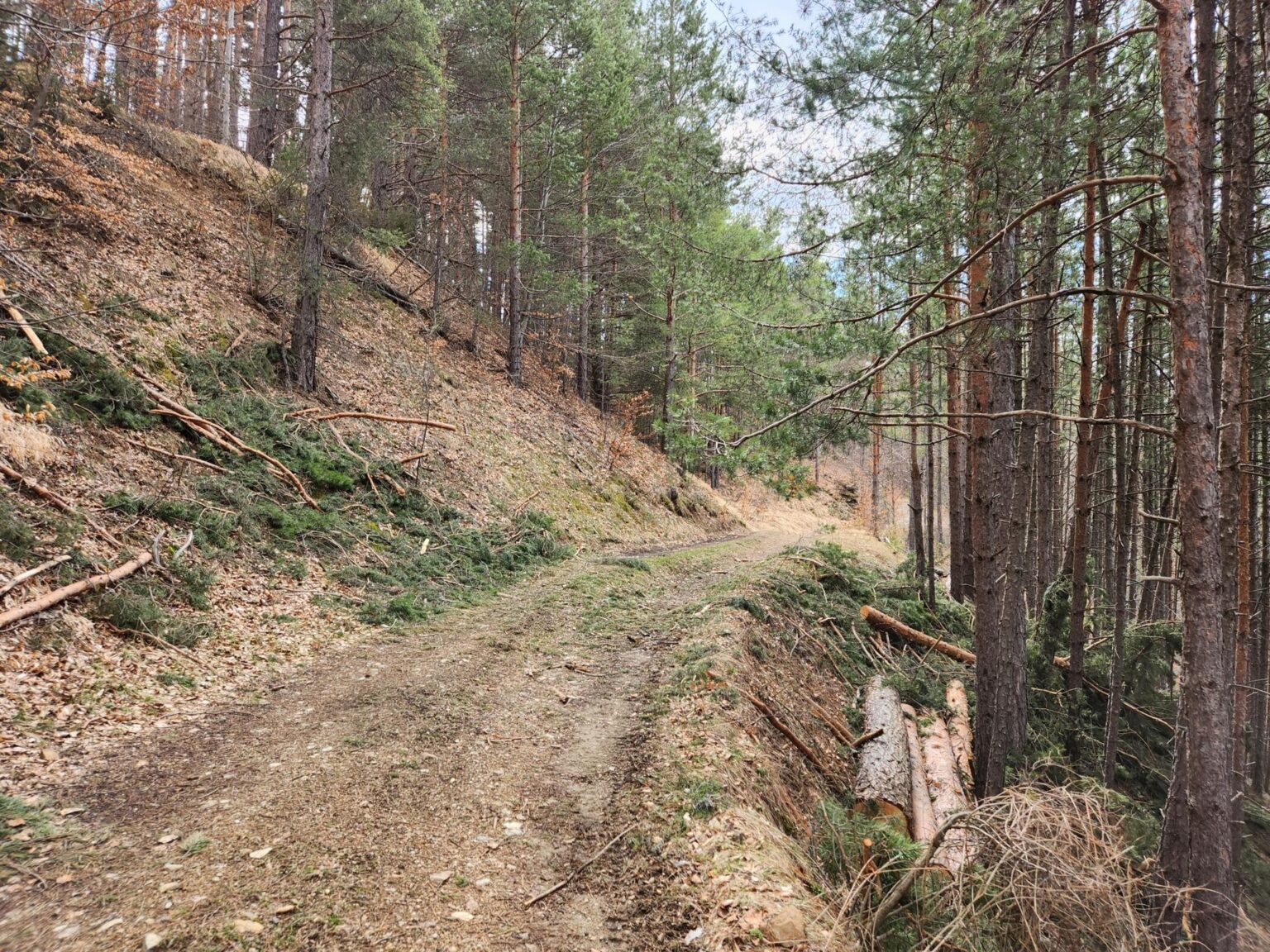
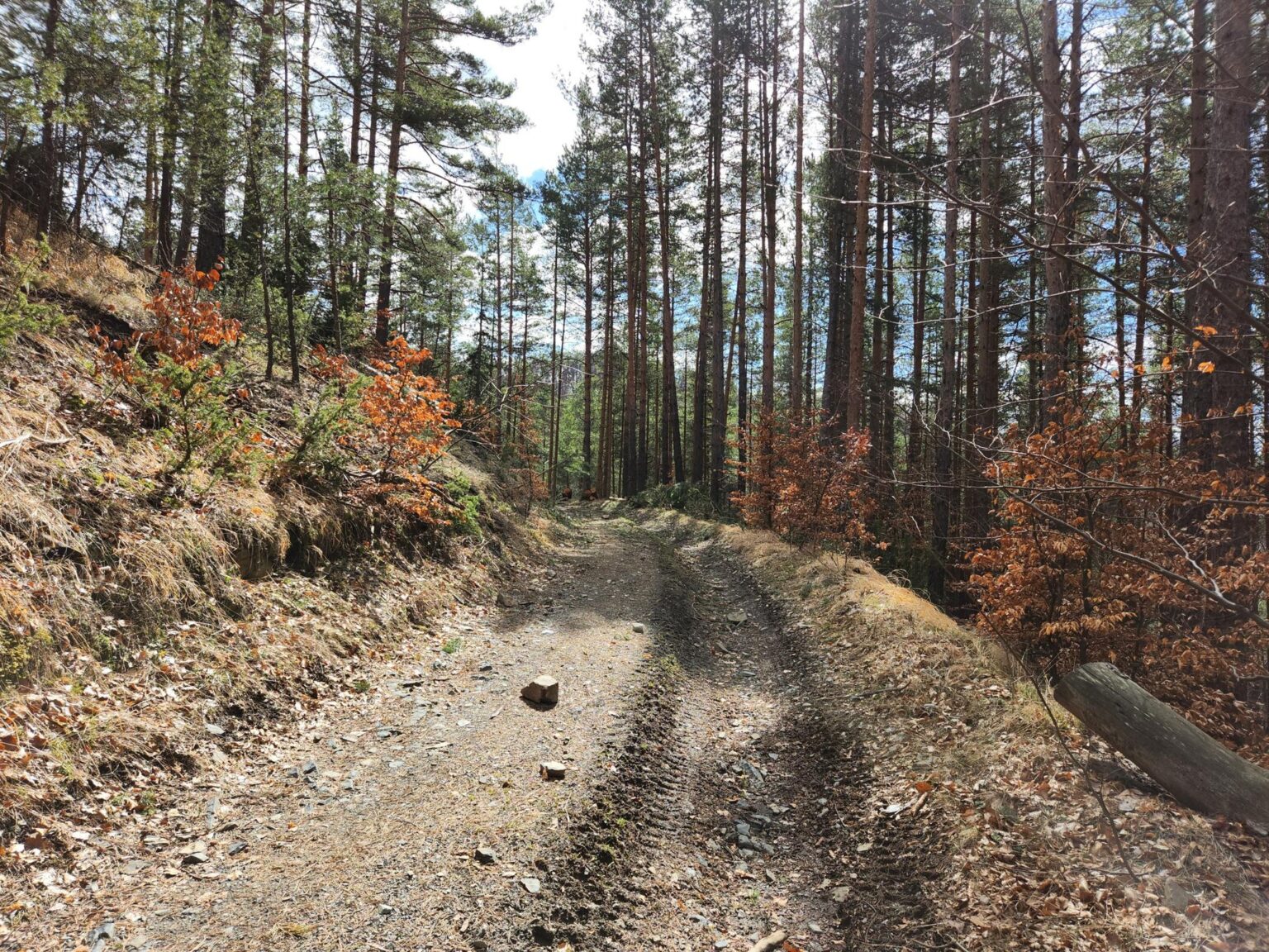
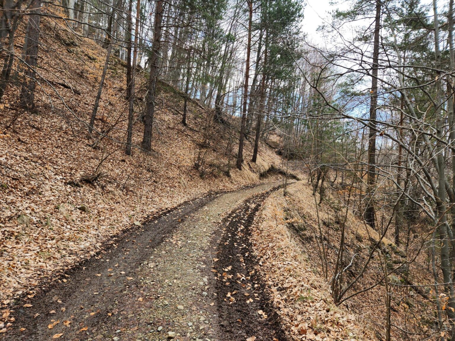
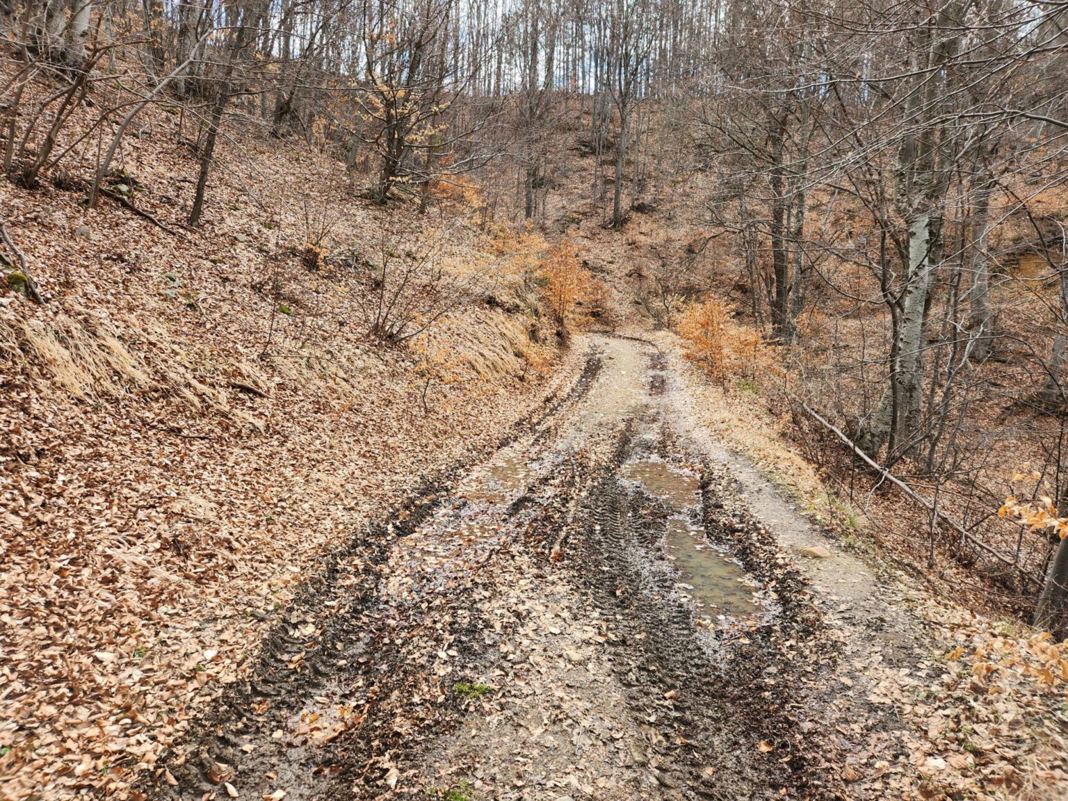
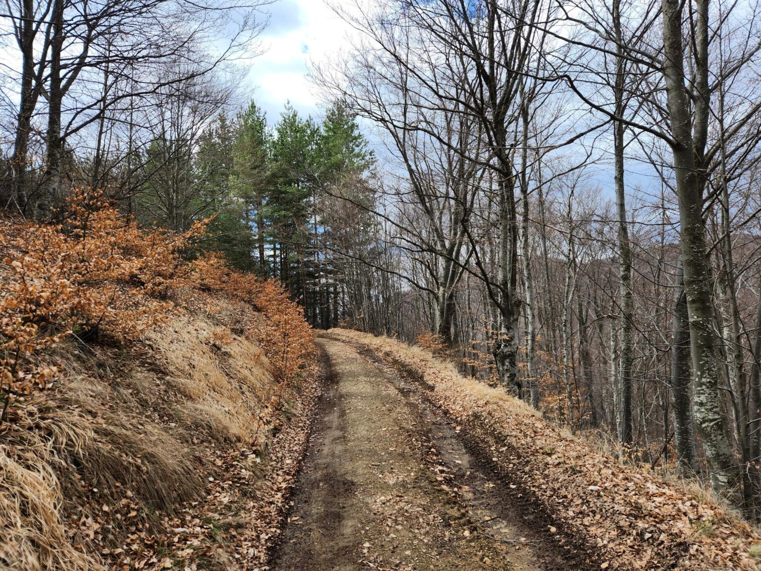
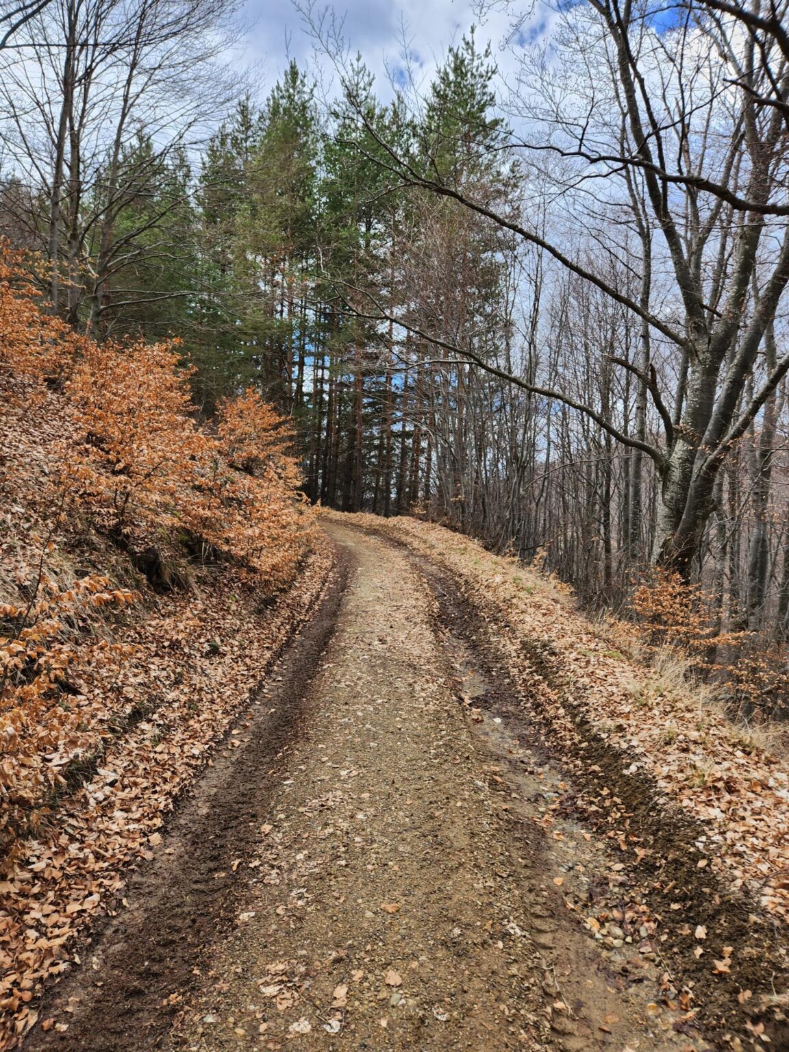
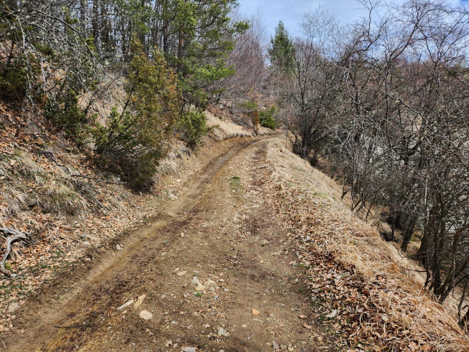
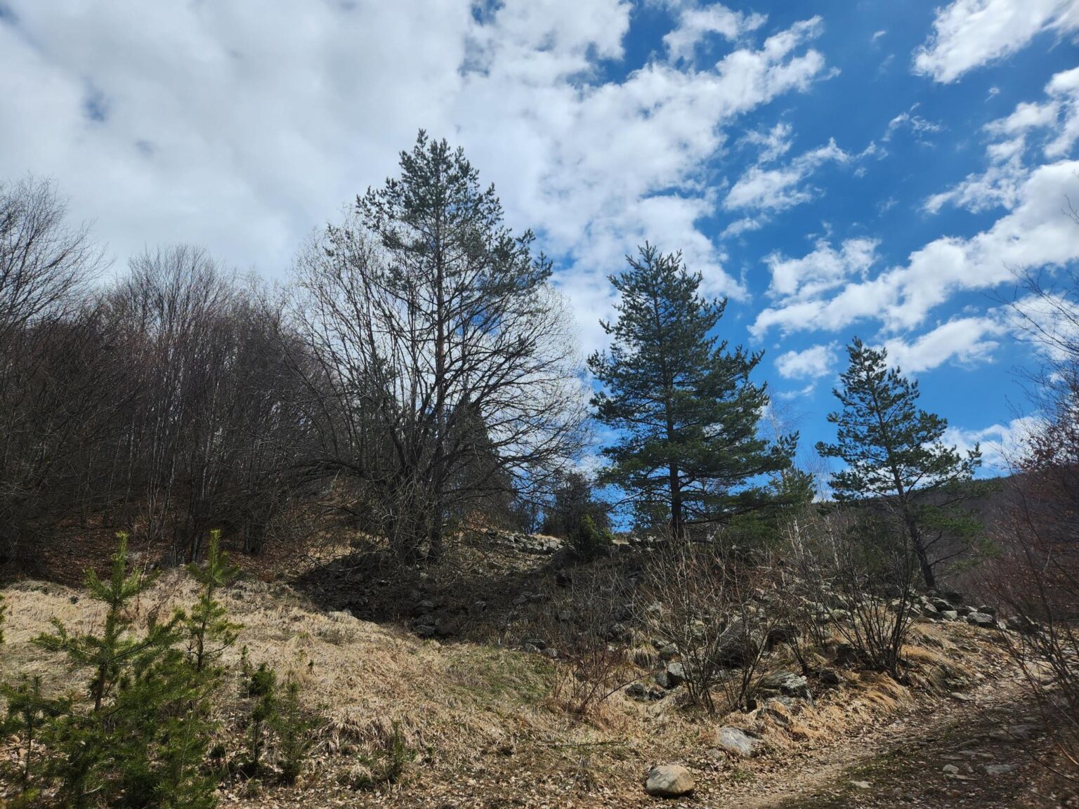
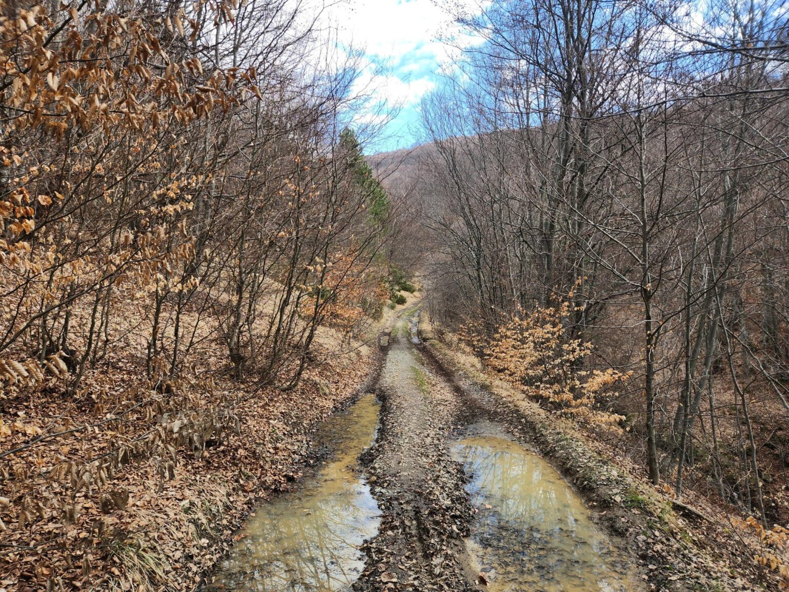
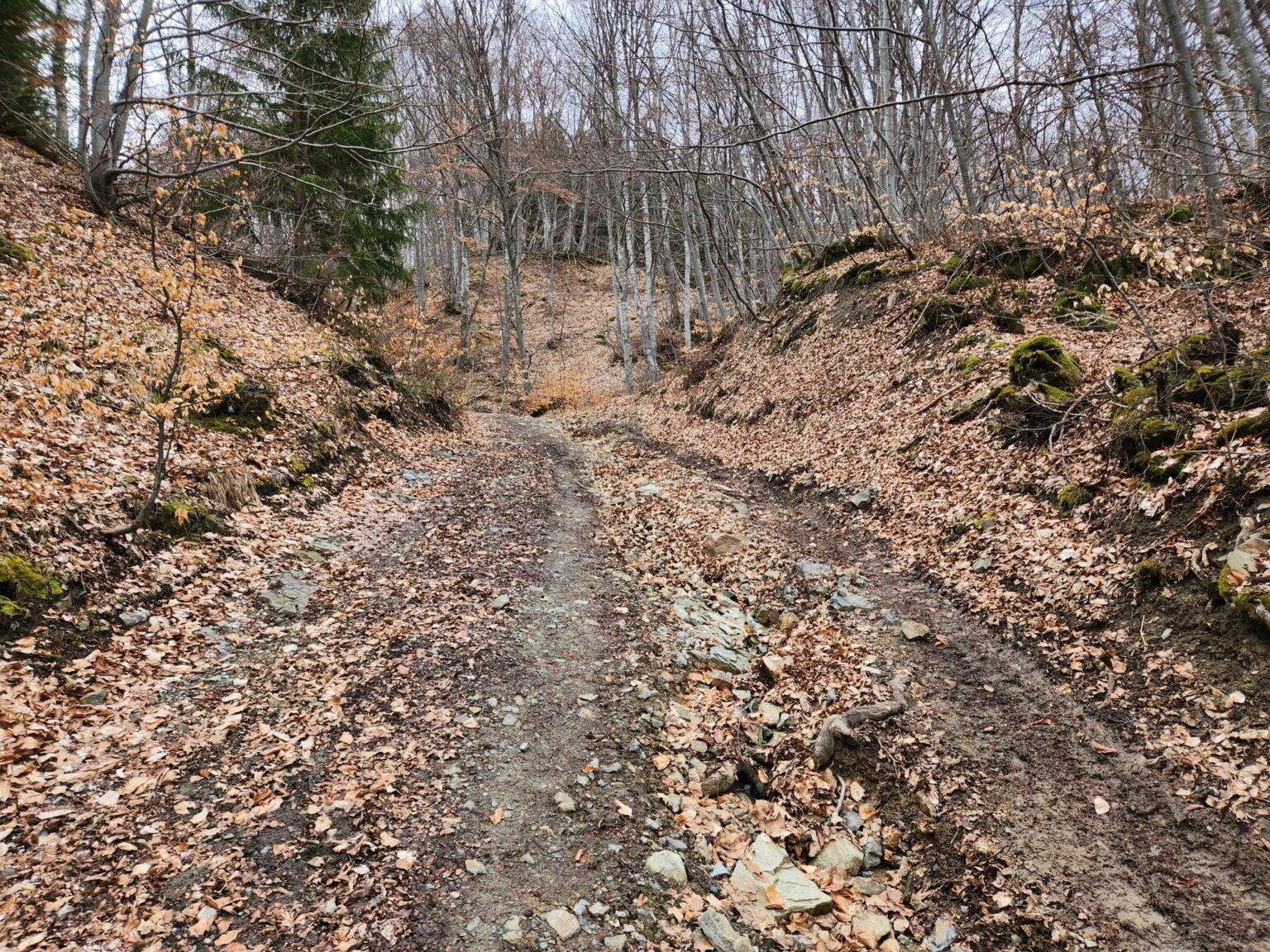
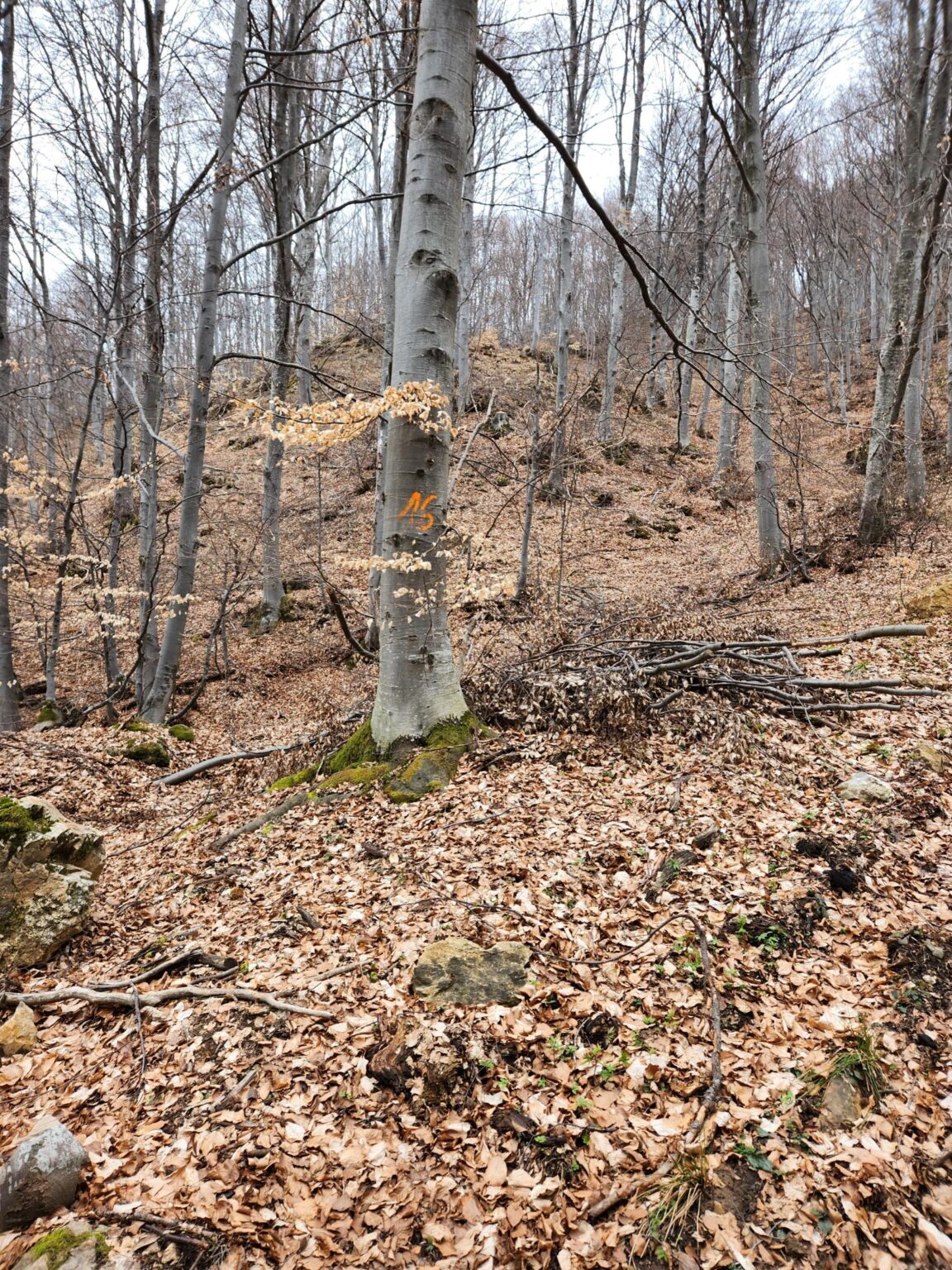
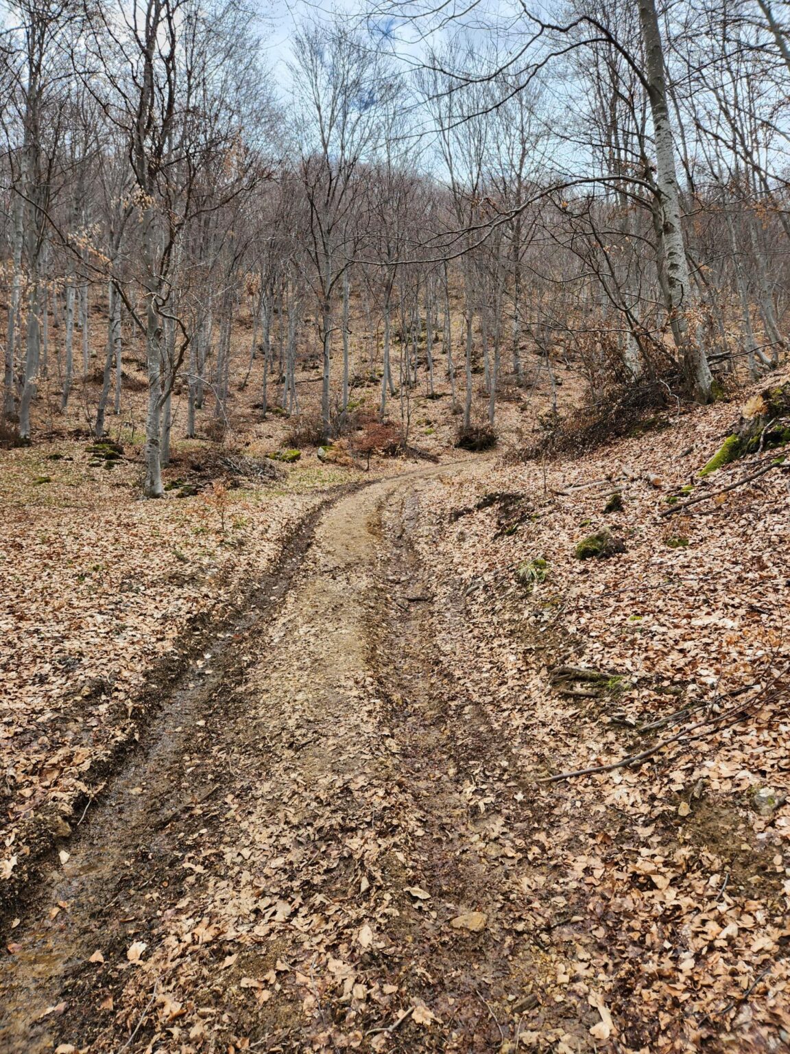
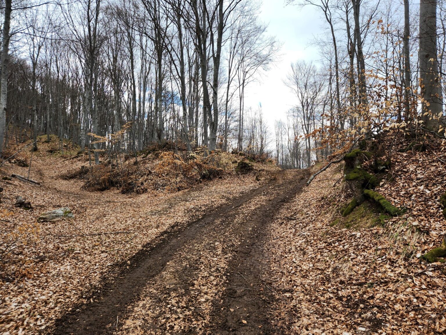
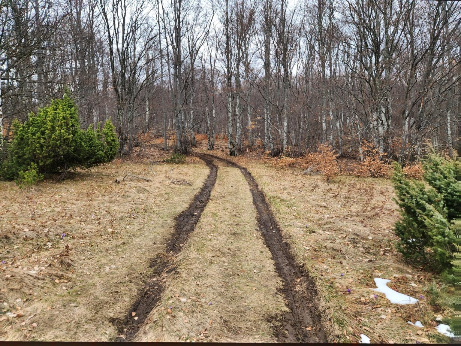
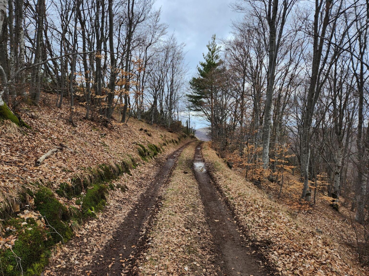
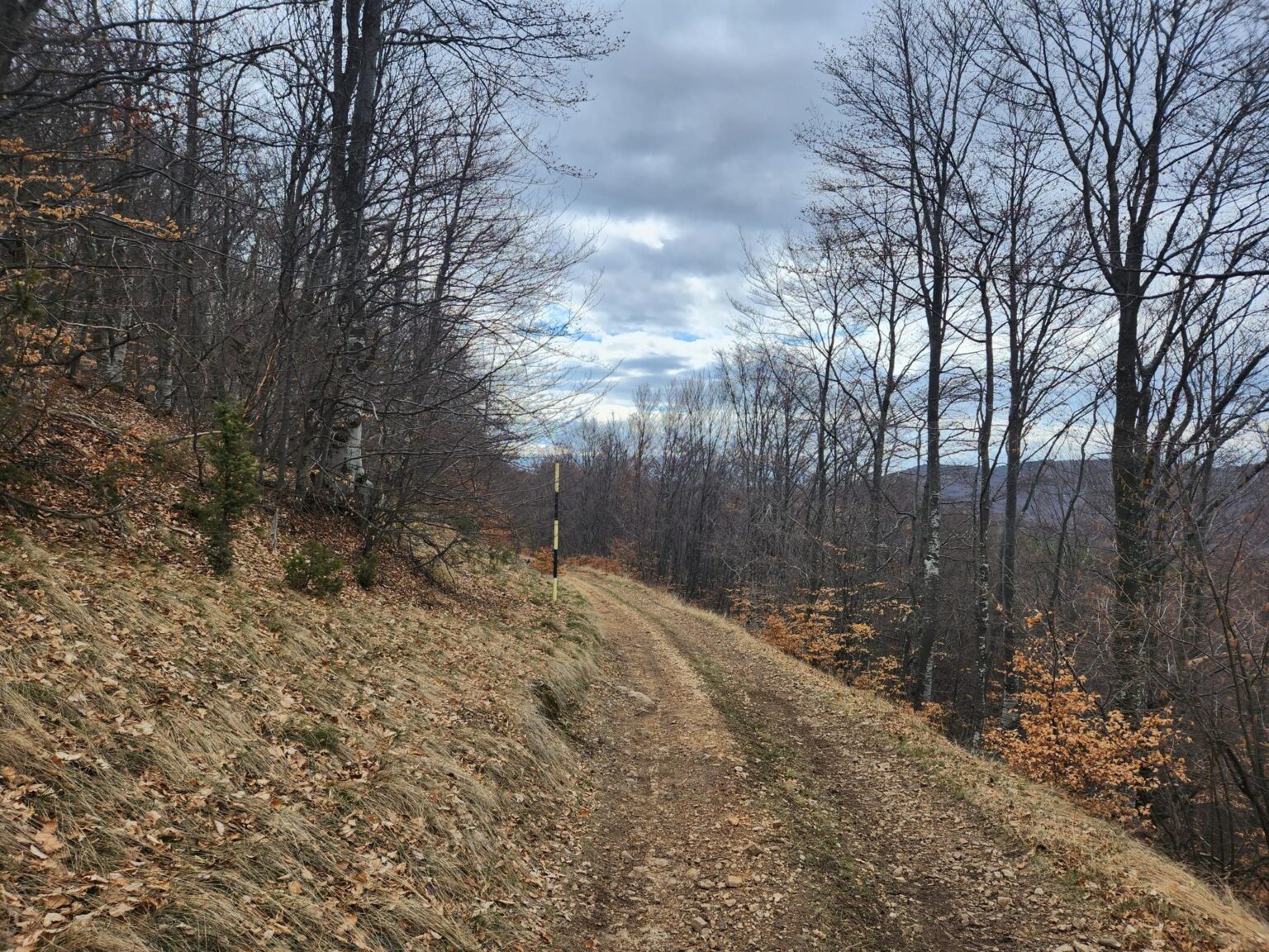
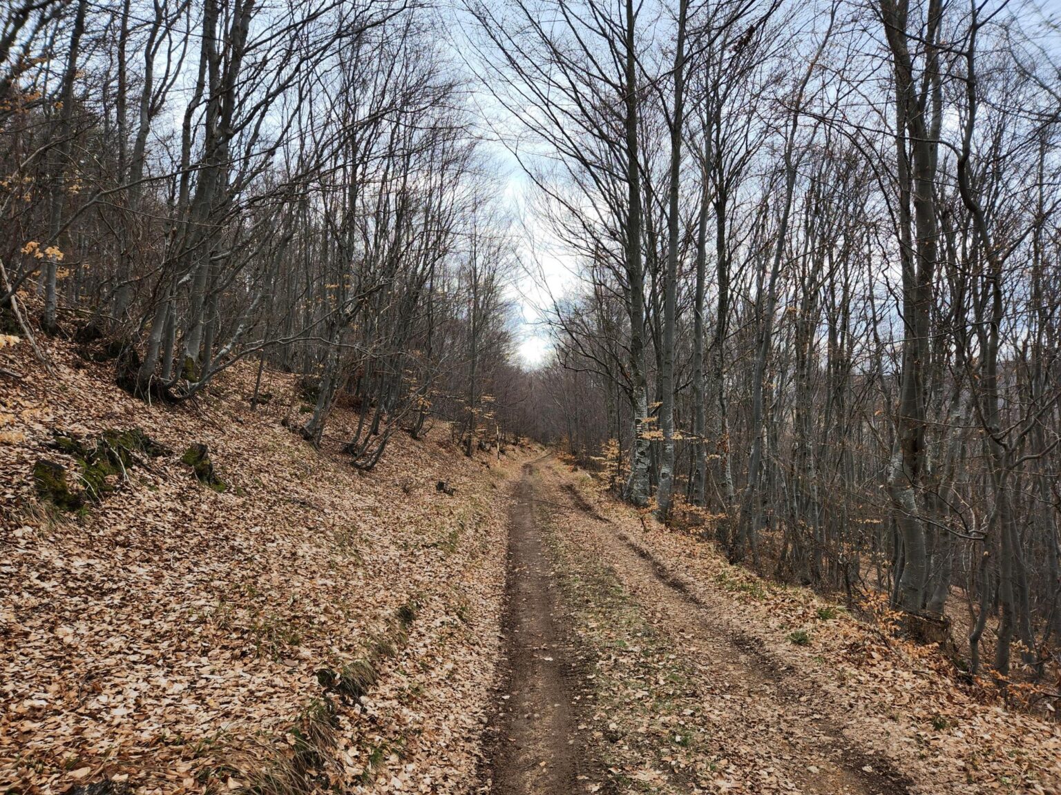
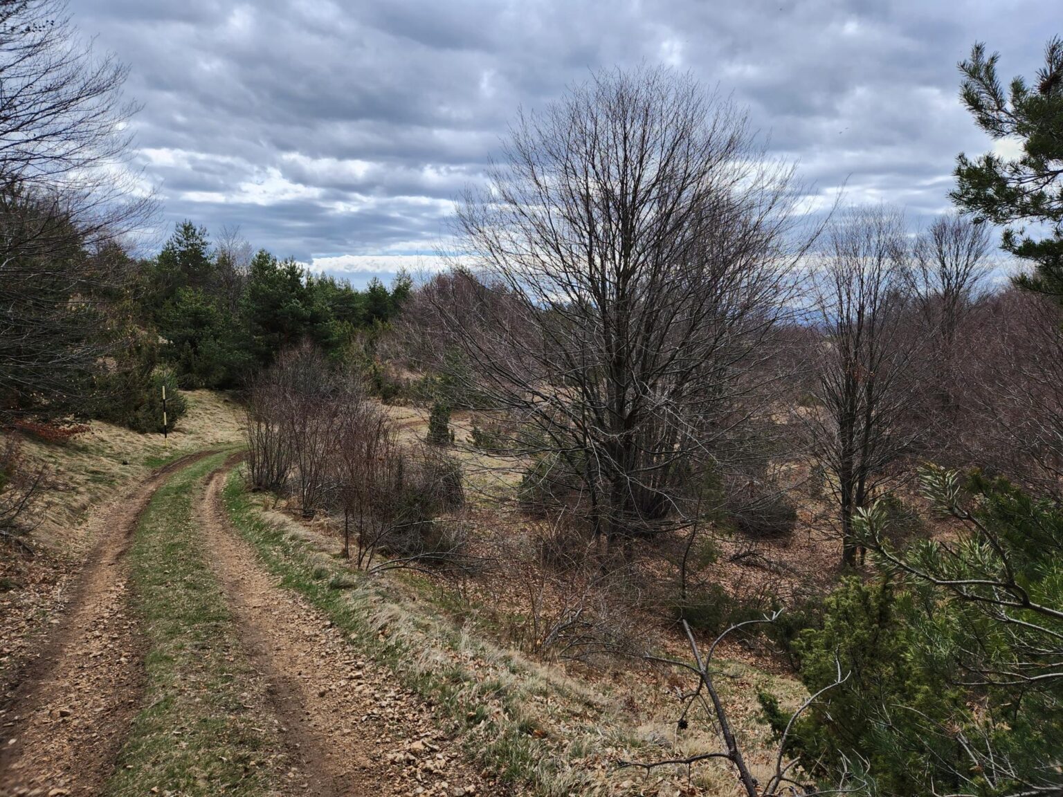
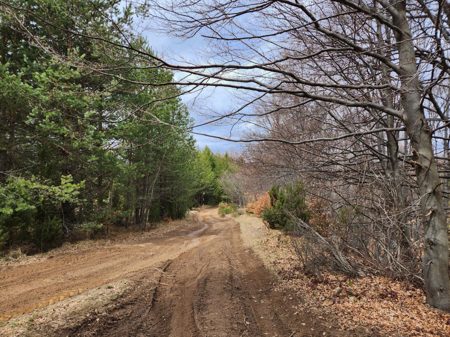
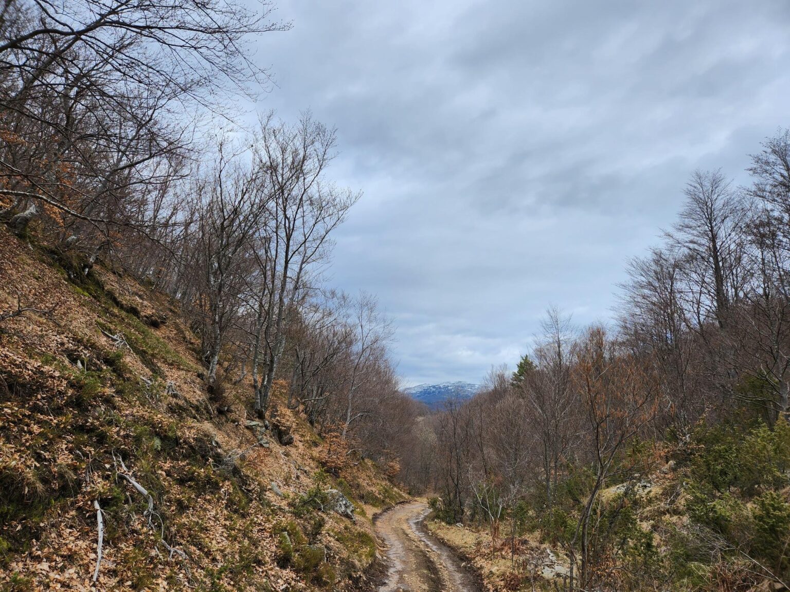
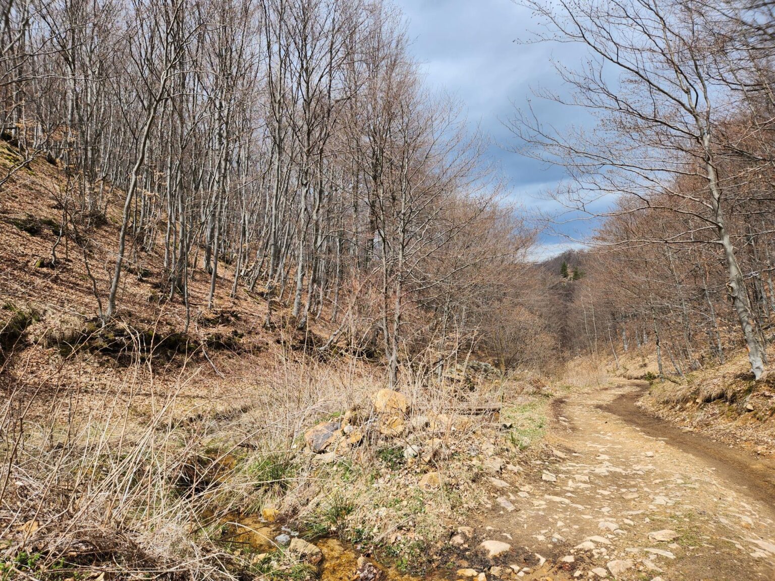
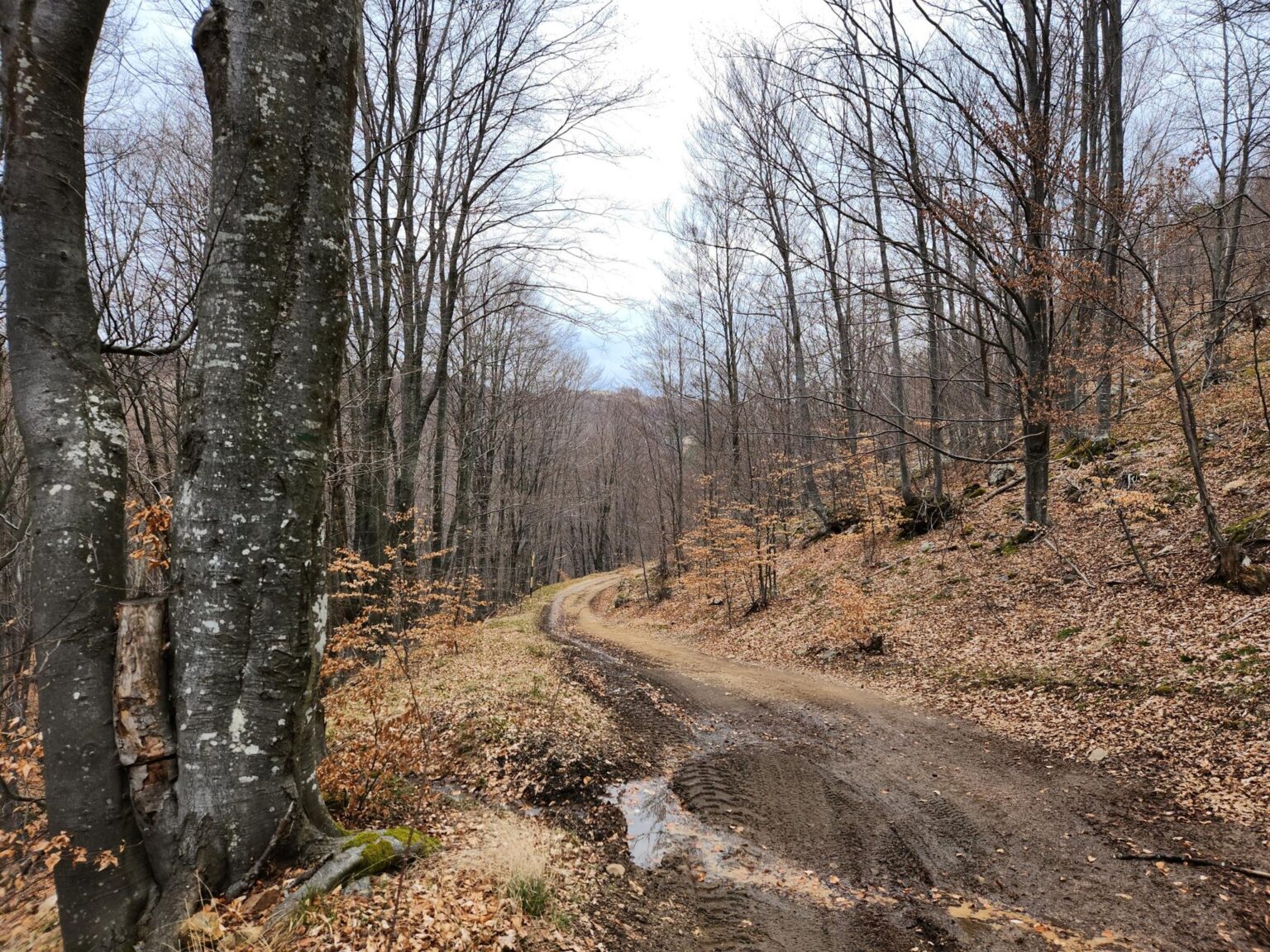
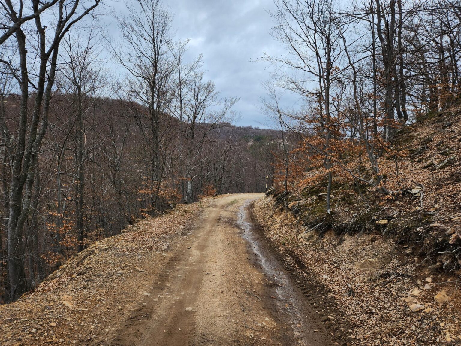
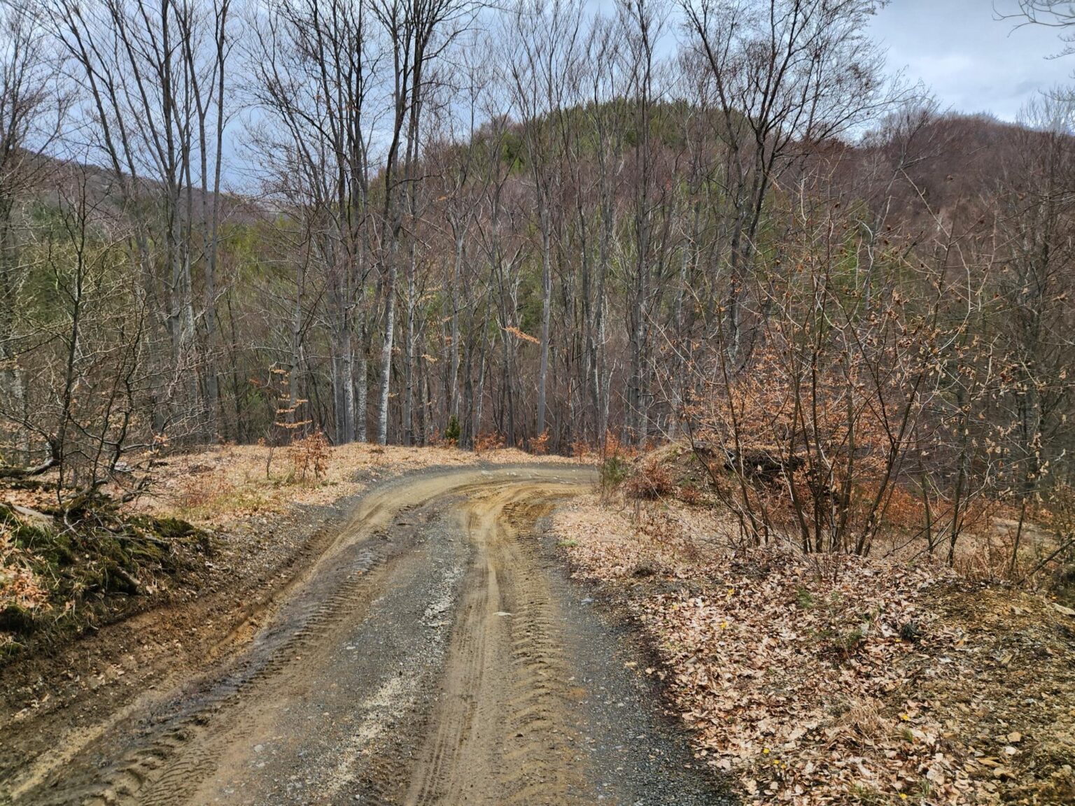
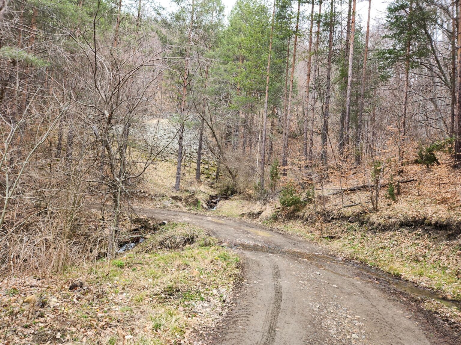
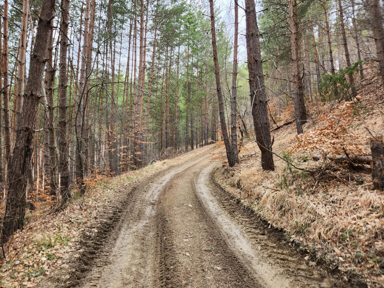
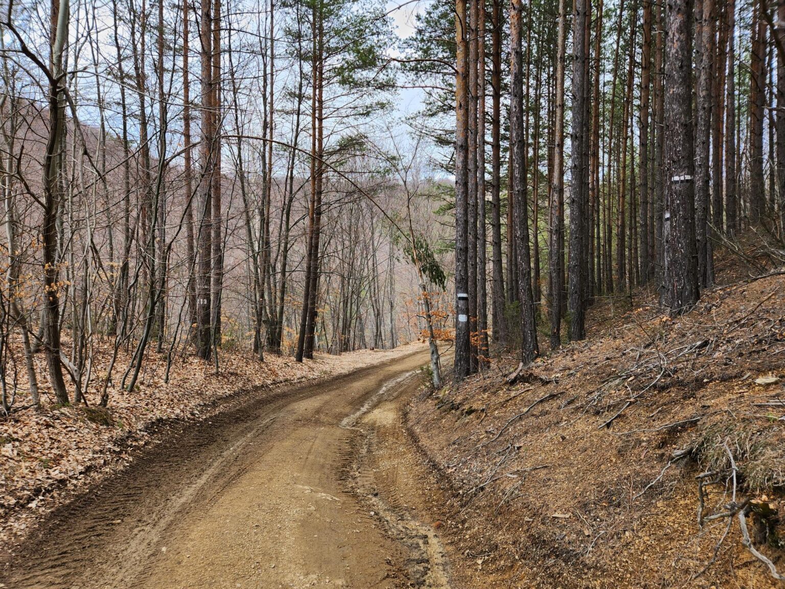
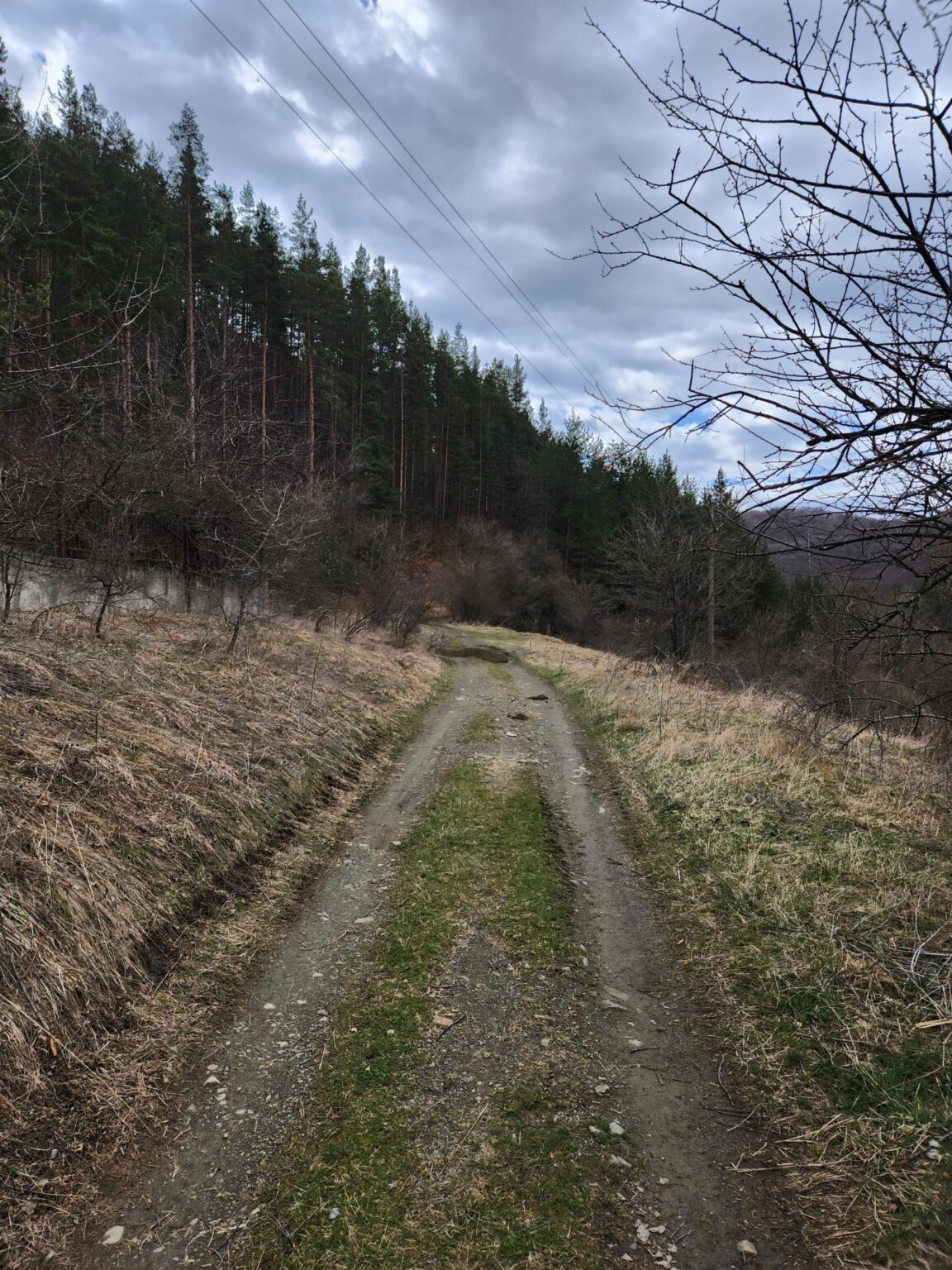
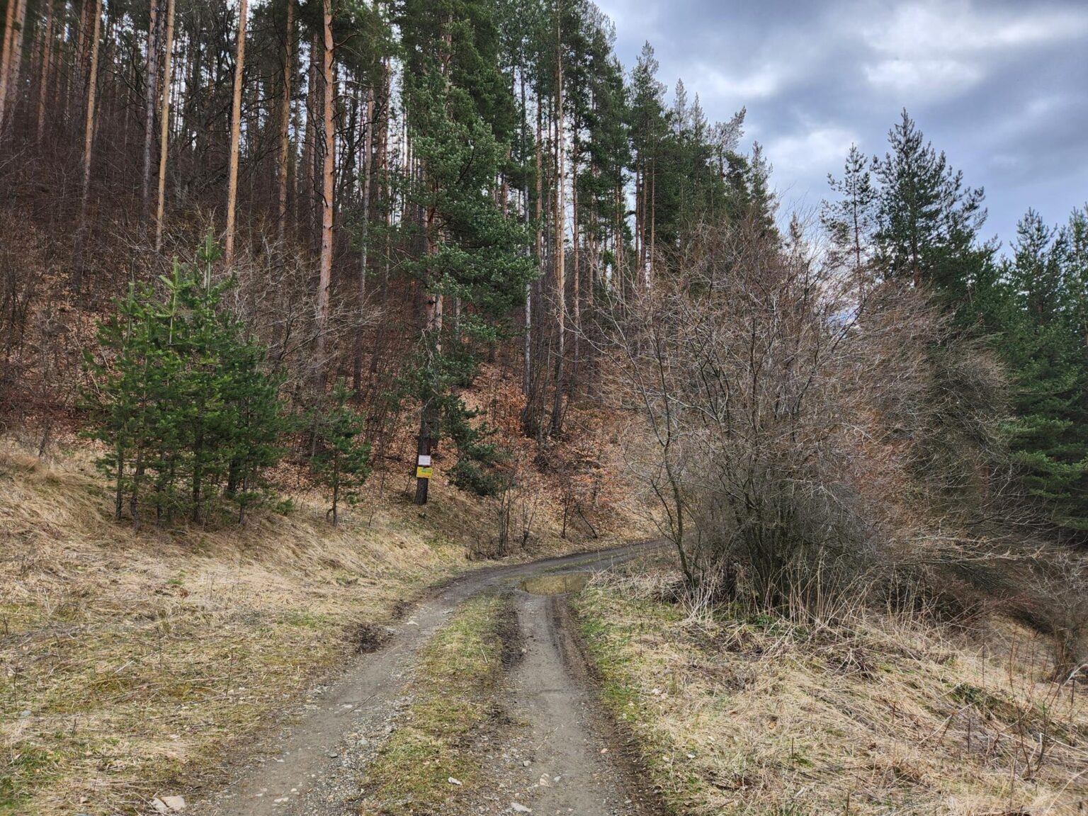
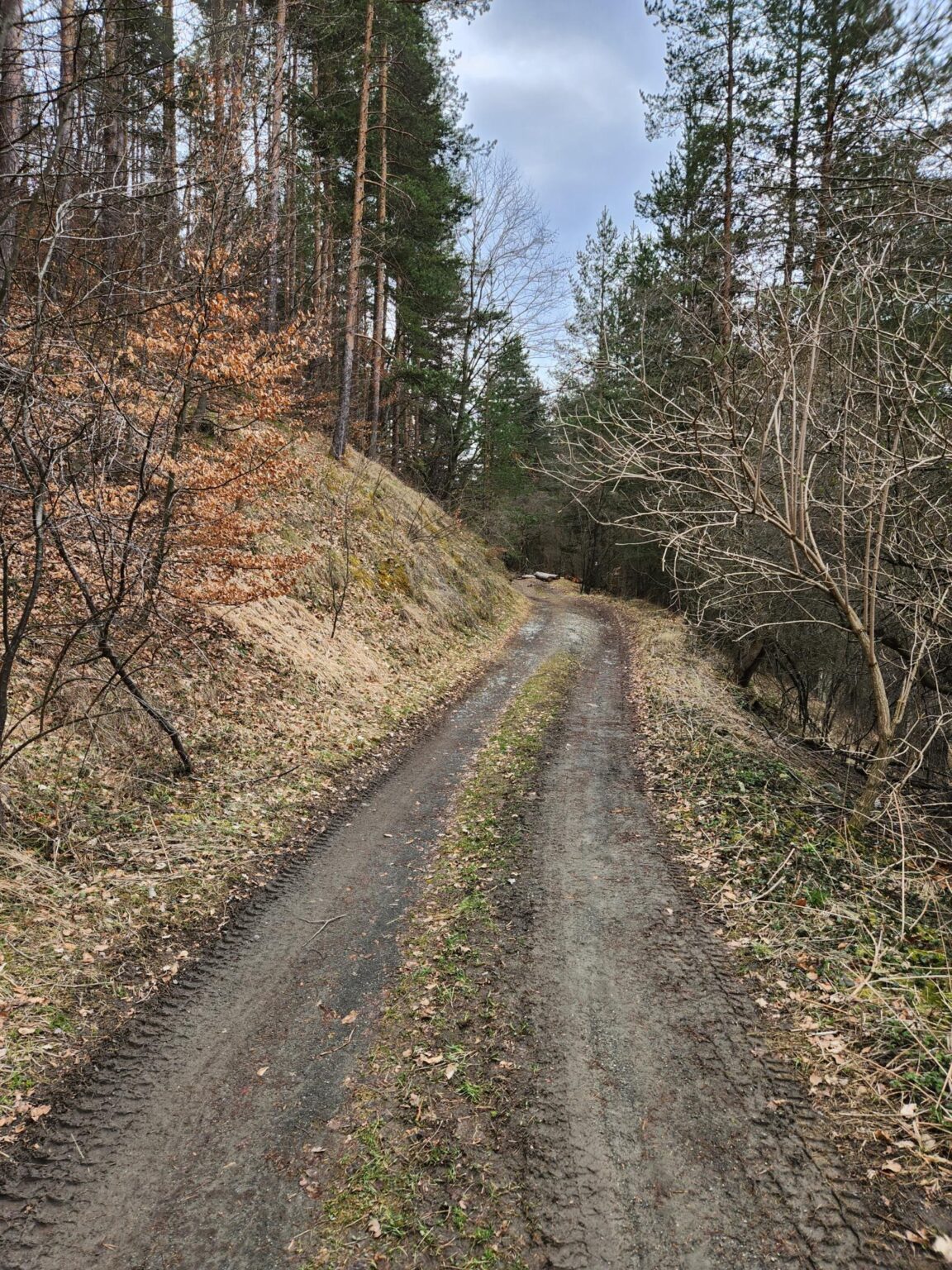
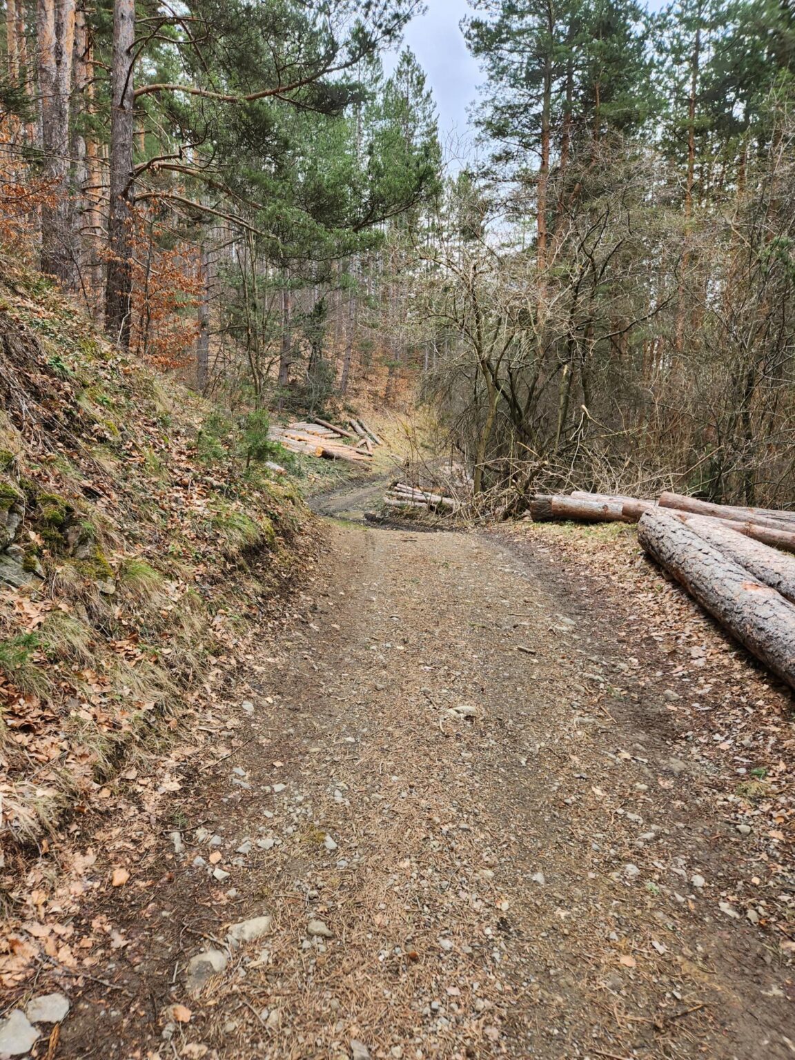
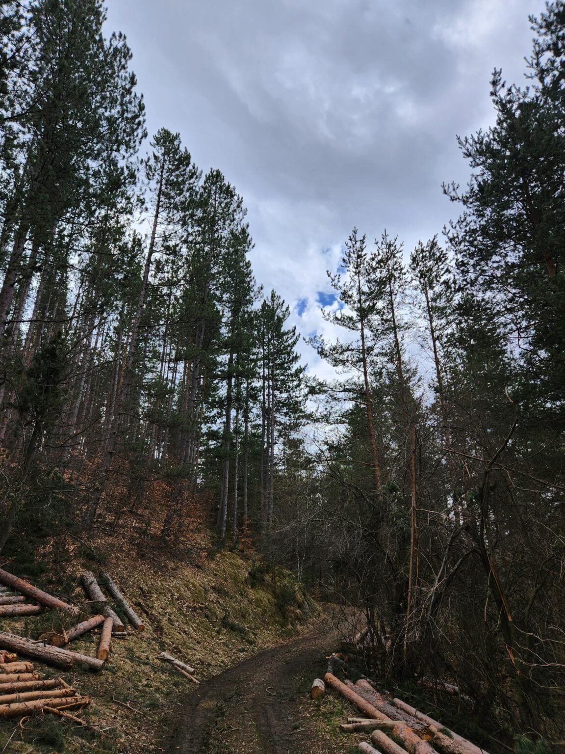
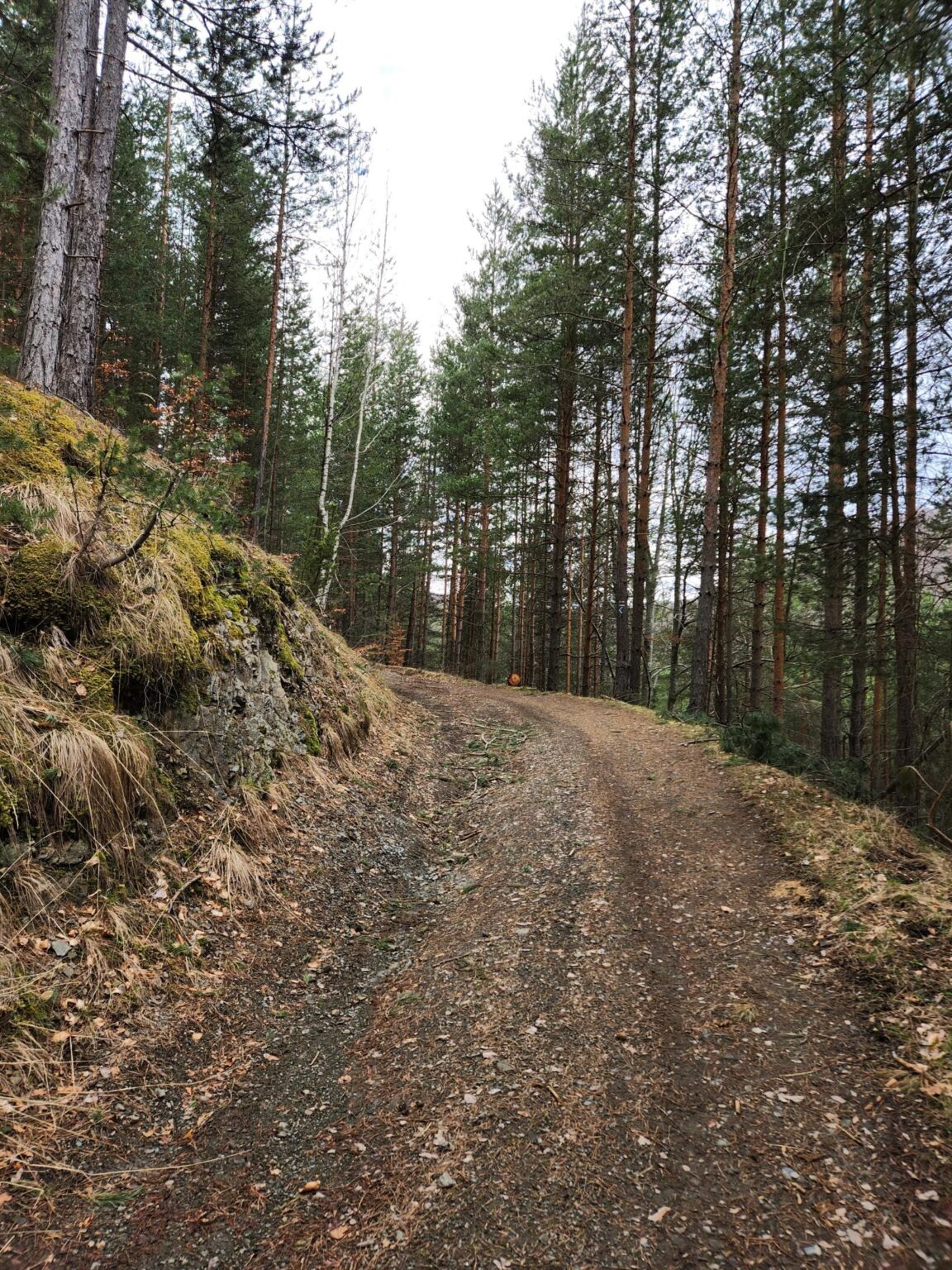
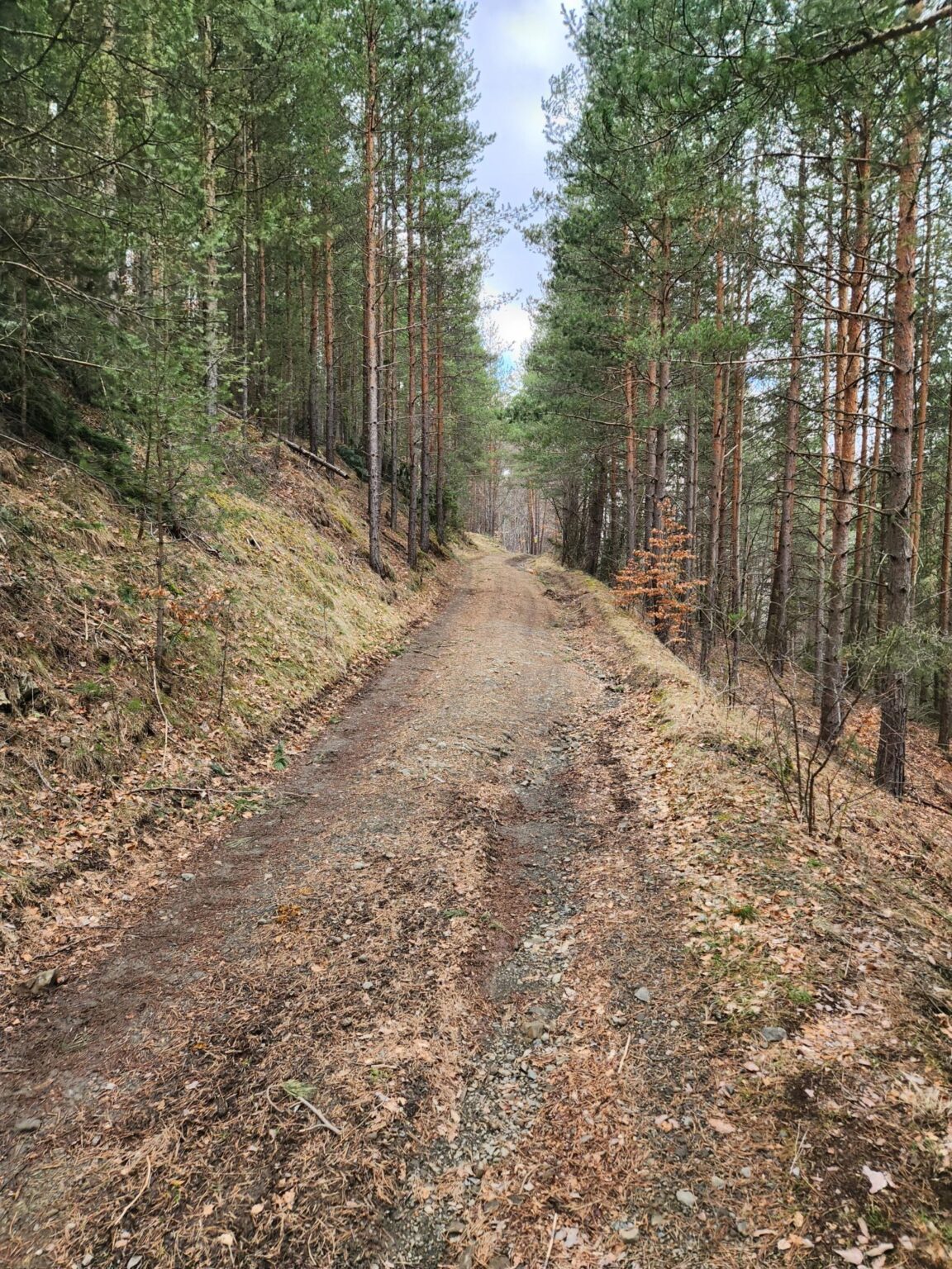
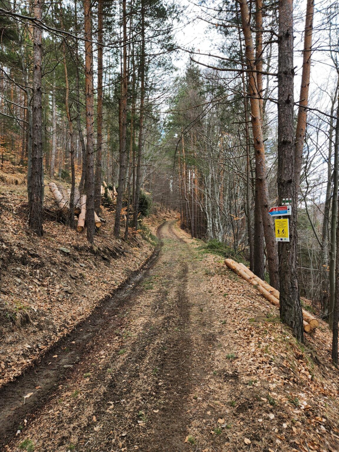
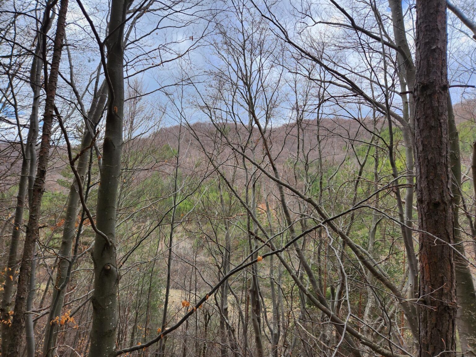
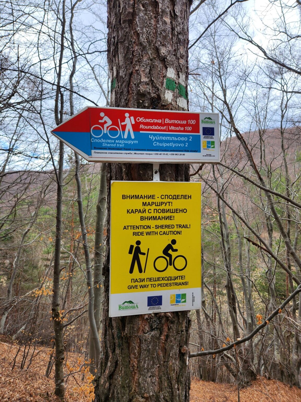
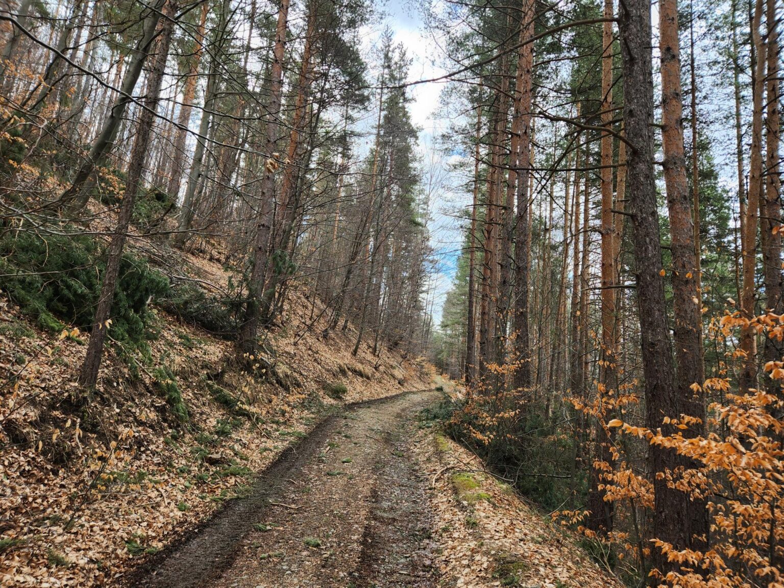
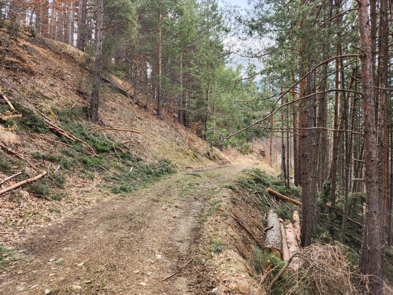
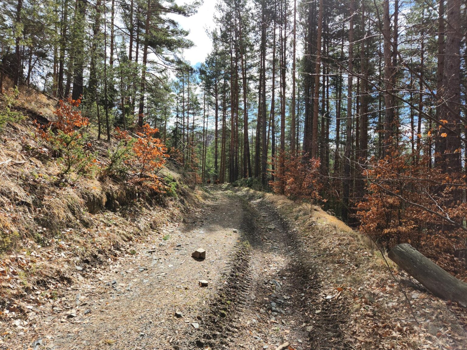
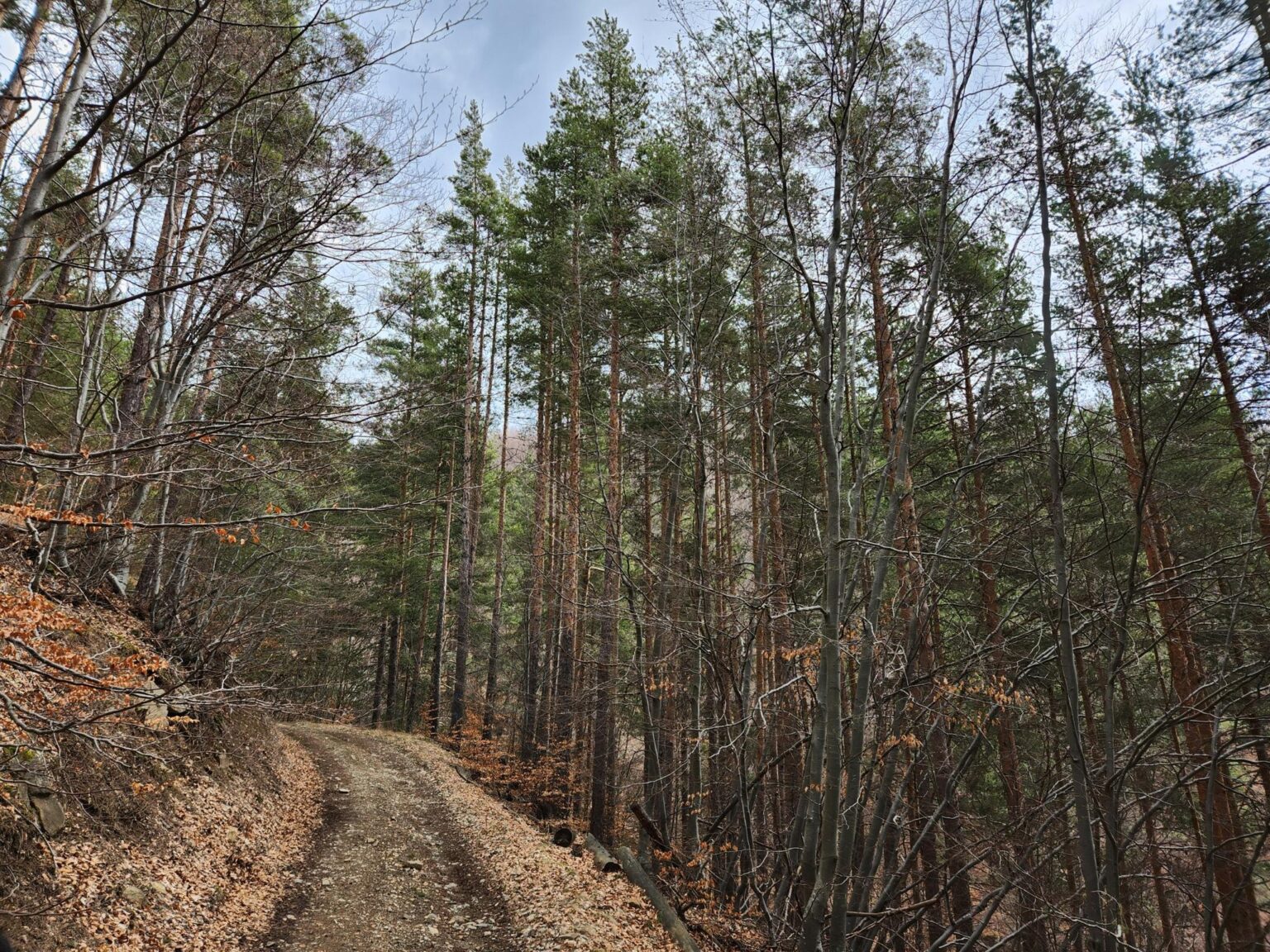
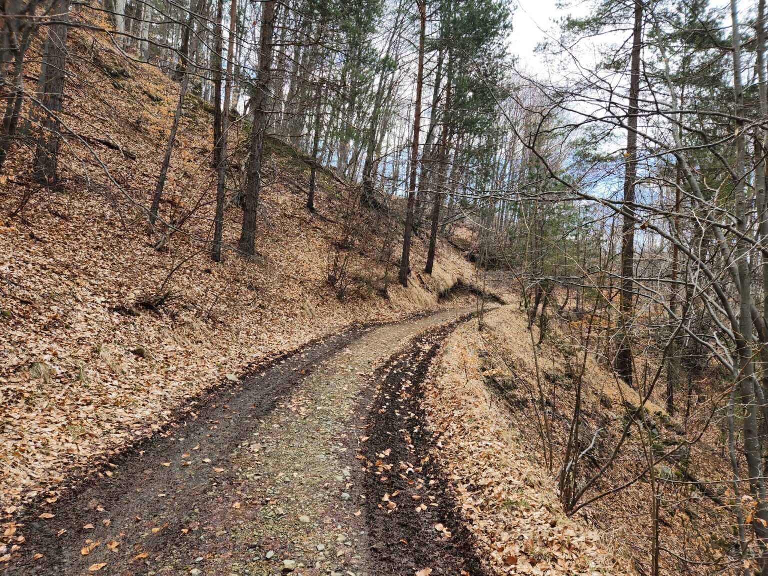
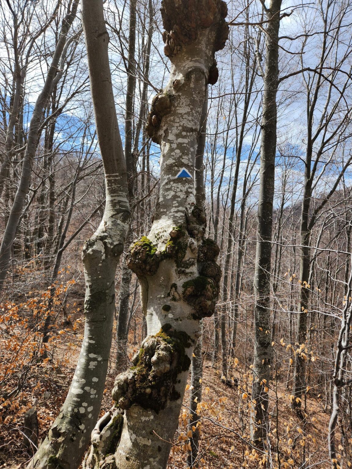
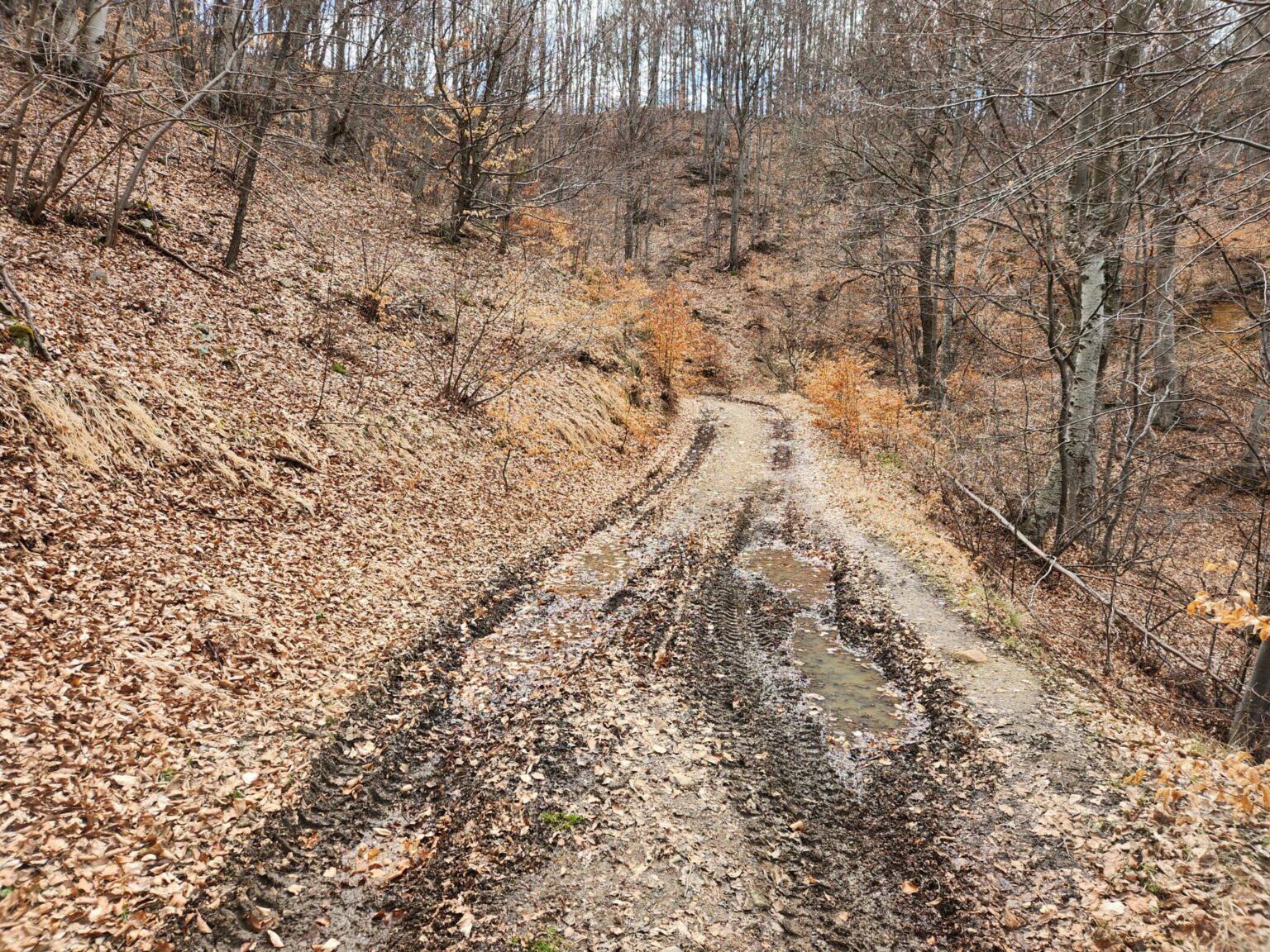
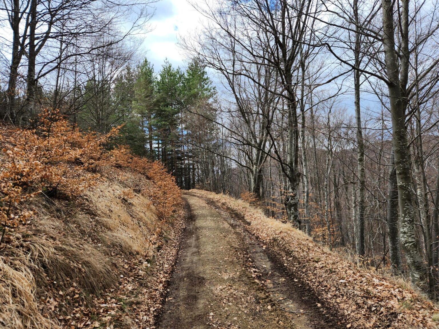
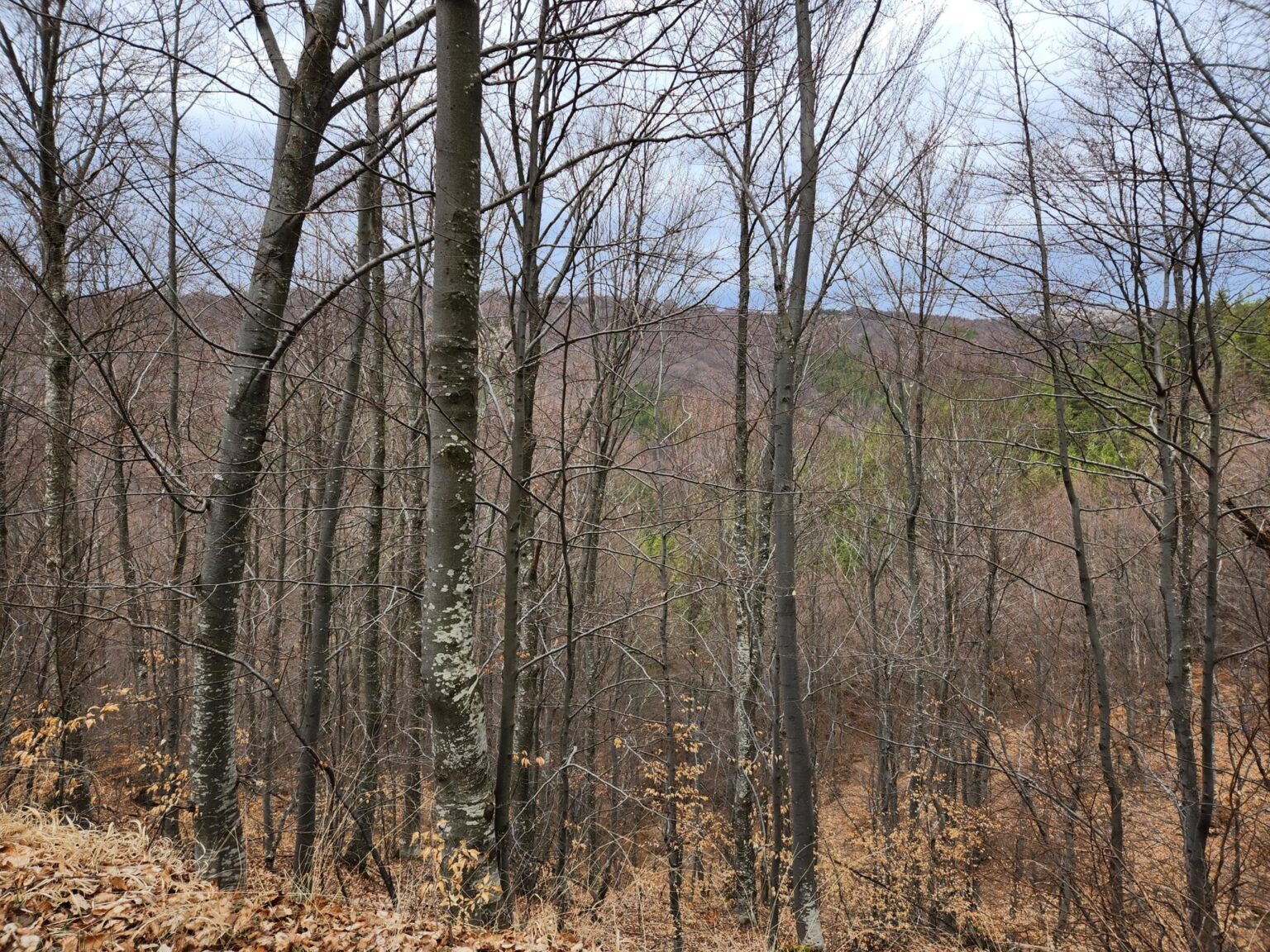
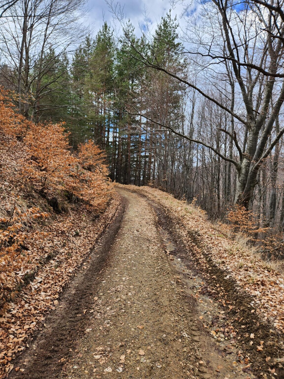
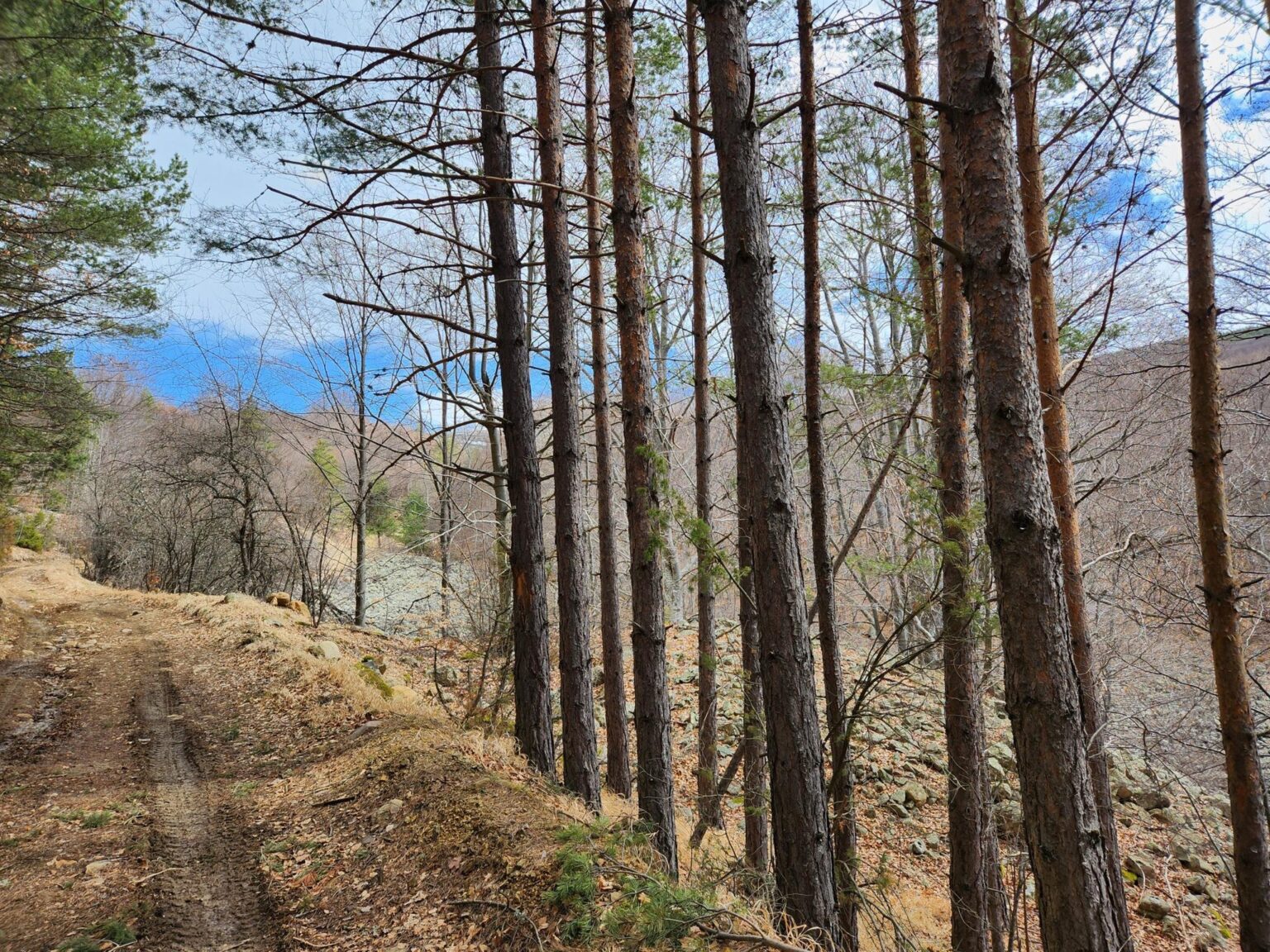
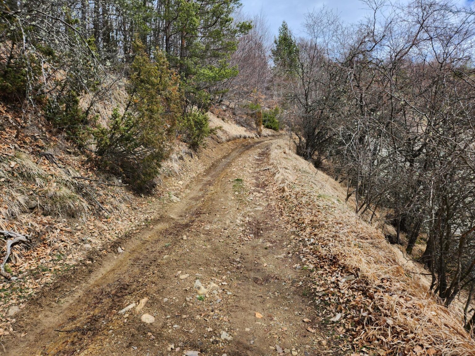
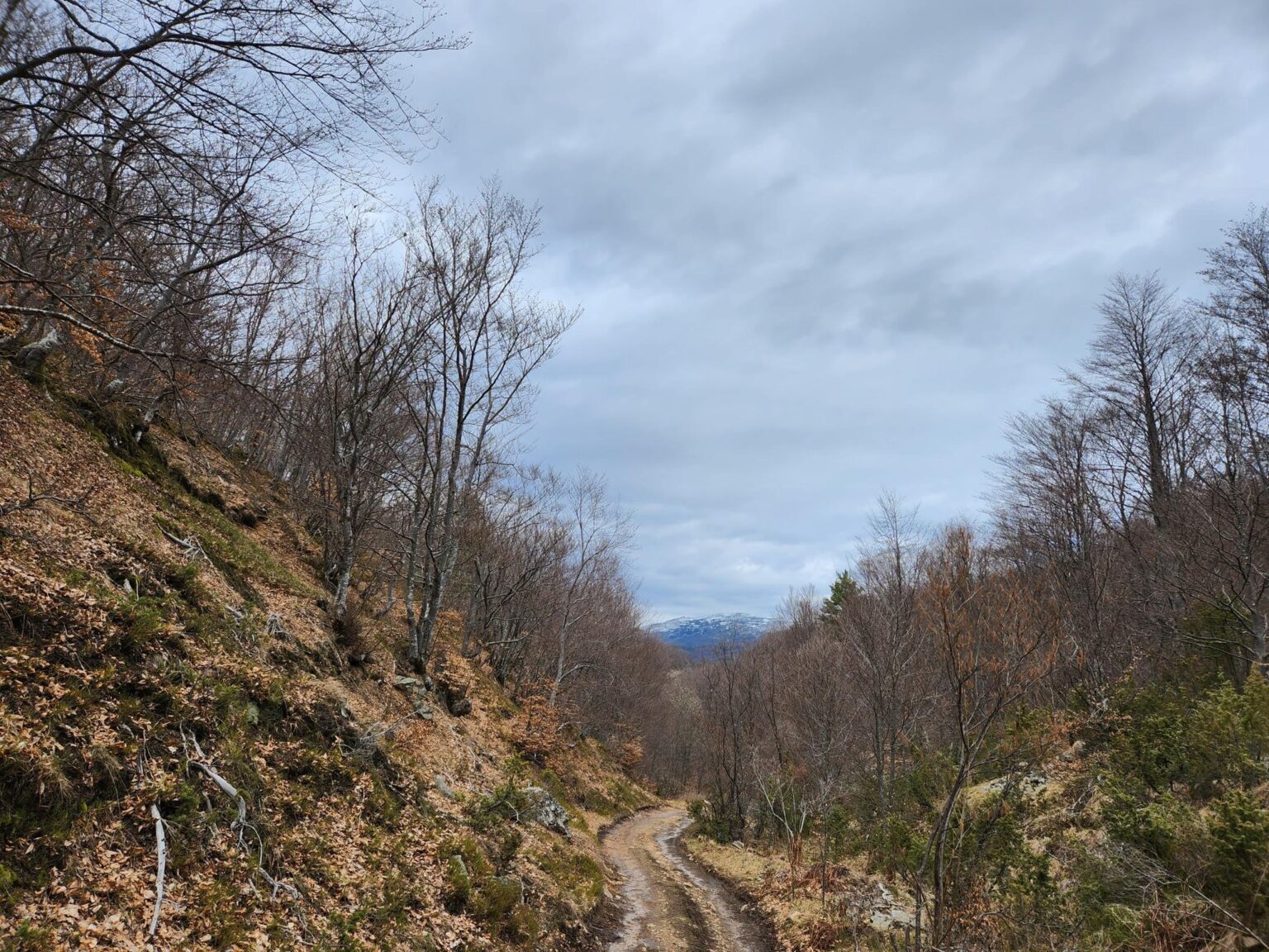
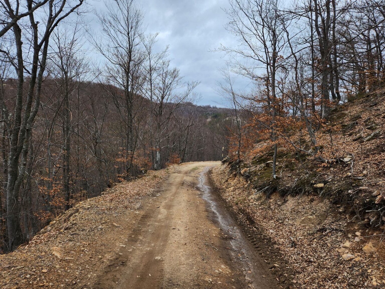
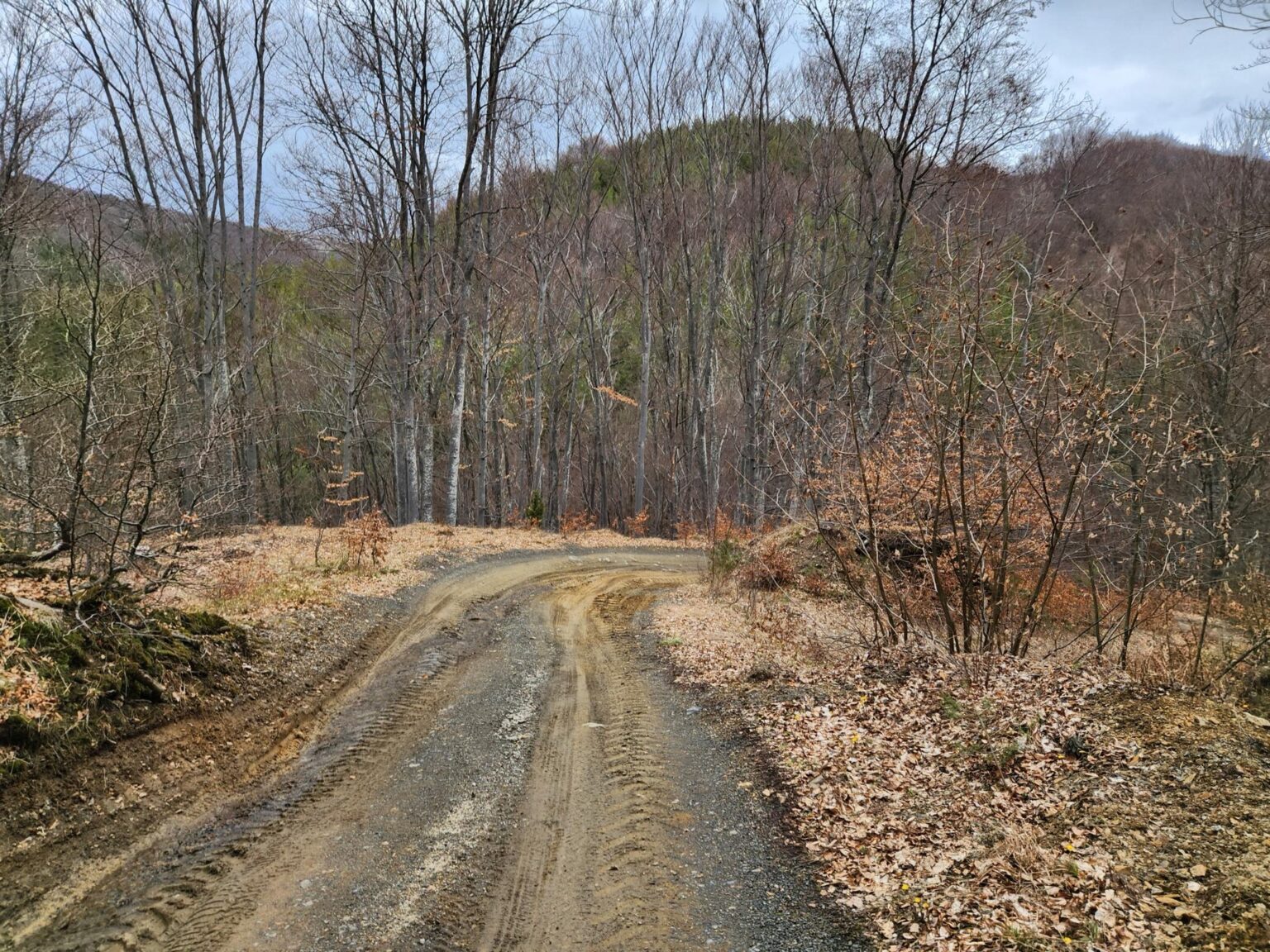
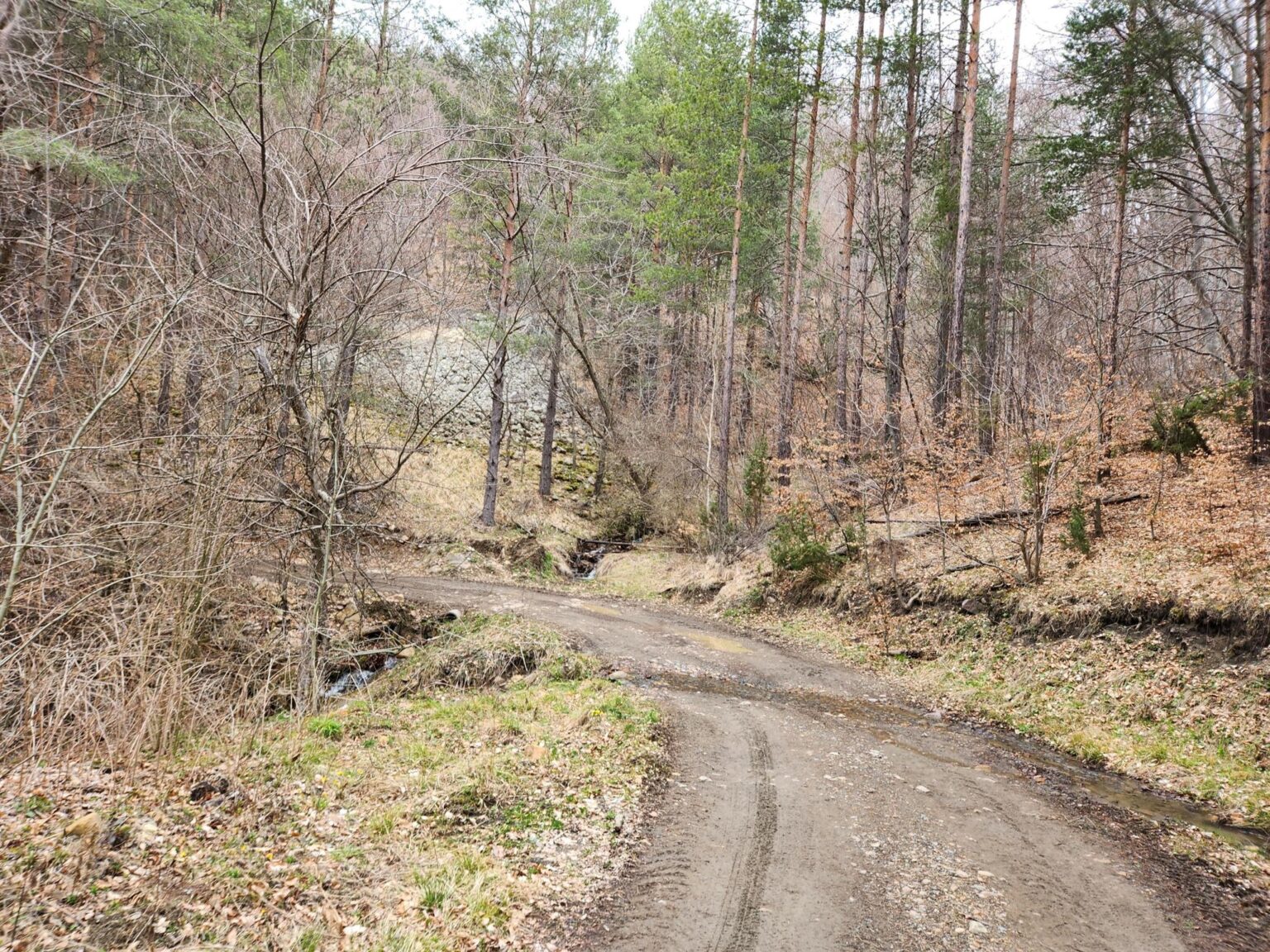
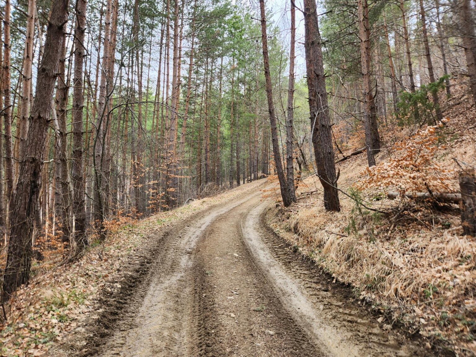
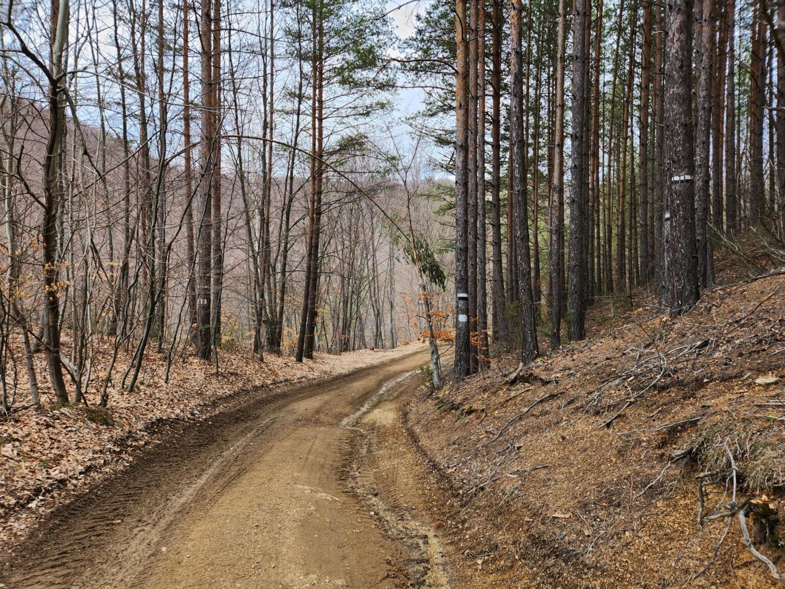
And here we are at the trail itself. Everything up to this point was the Turkish delight stretching. Now comes the walking, and it’s time for looking rather than writing. I chose this place well, since I wanted somewhere quiet with few people. Little did I know that I’d pass exactly one other person all day: a cyclist, in the first 10 minutes. Right from the start, the path settles into one of those endless climbs. It’s a climb, yes, but a gentle, steady one that doesn’t wear you down. You simply keep following the track. There are no turn-offs, and you can’t get lost (not yet, mwahaha (heavy evil laugh)).
The stone river
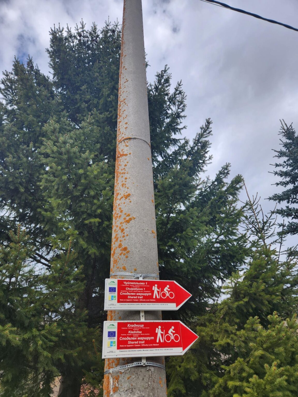
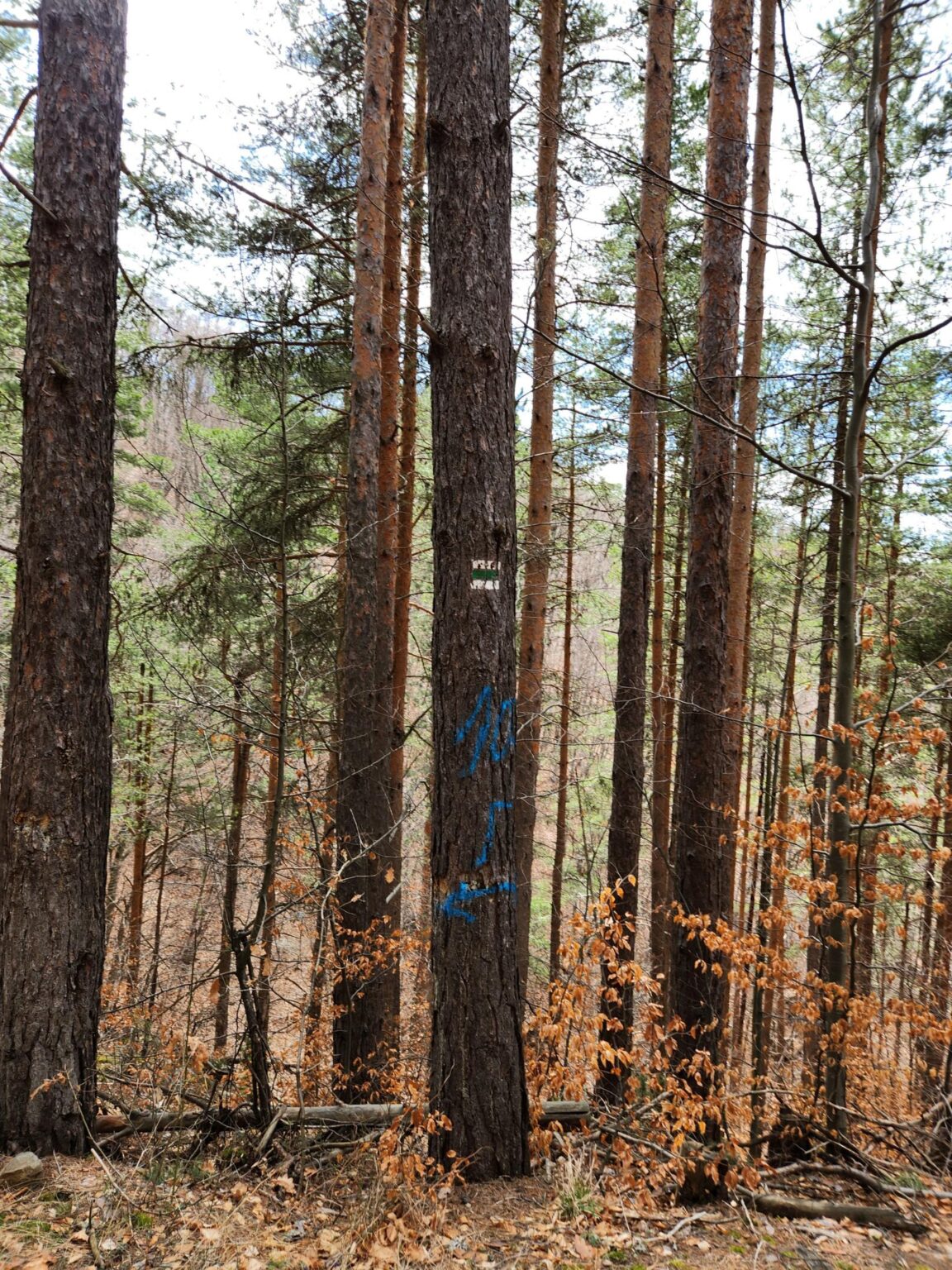
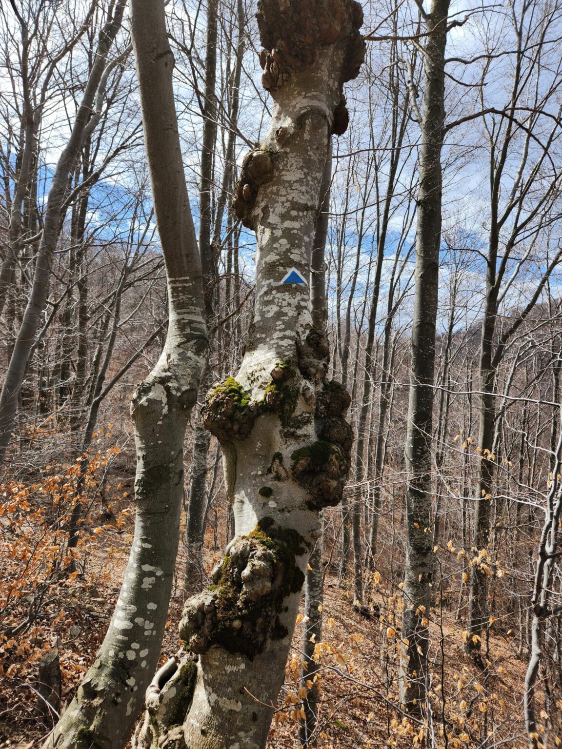
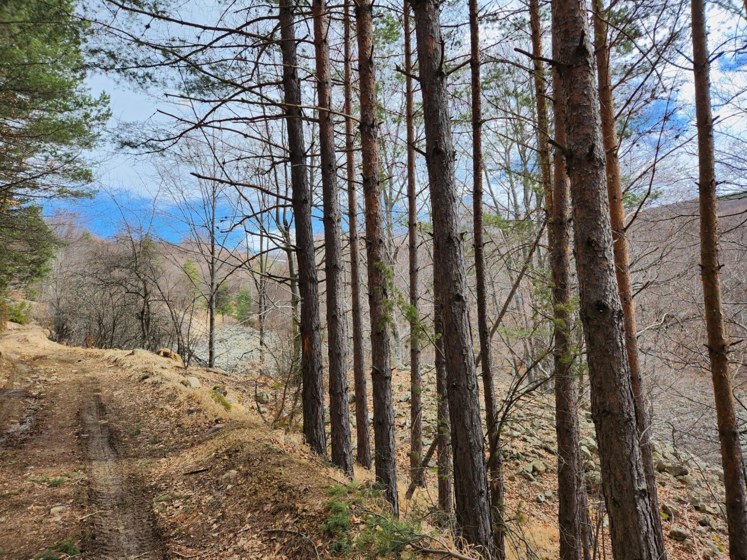
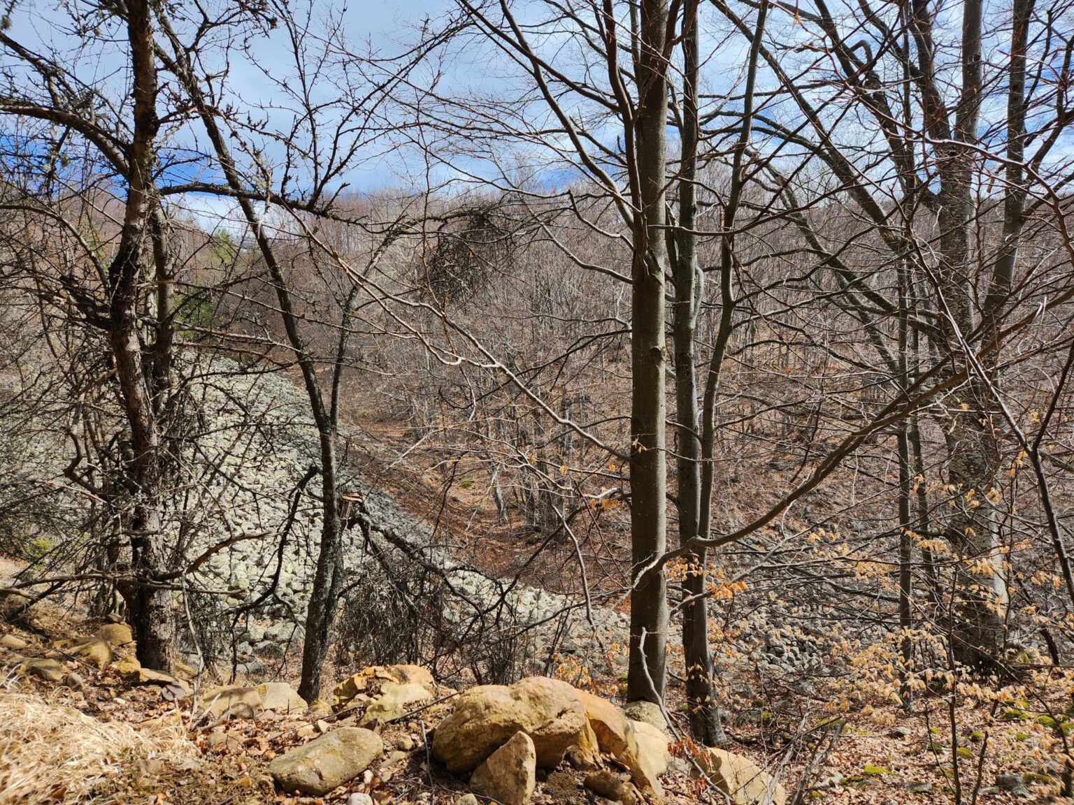
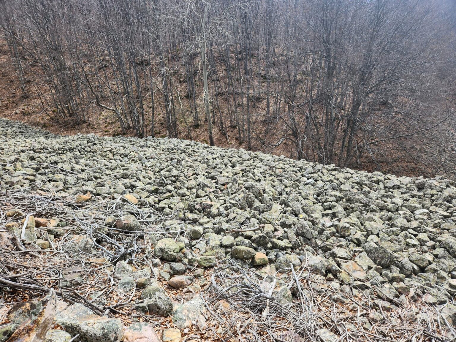
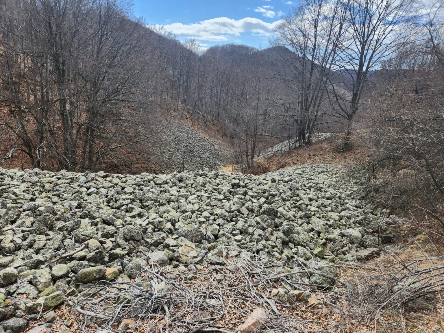
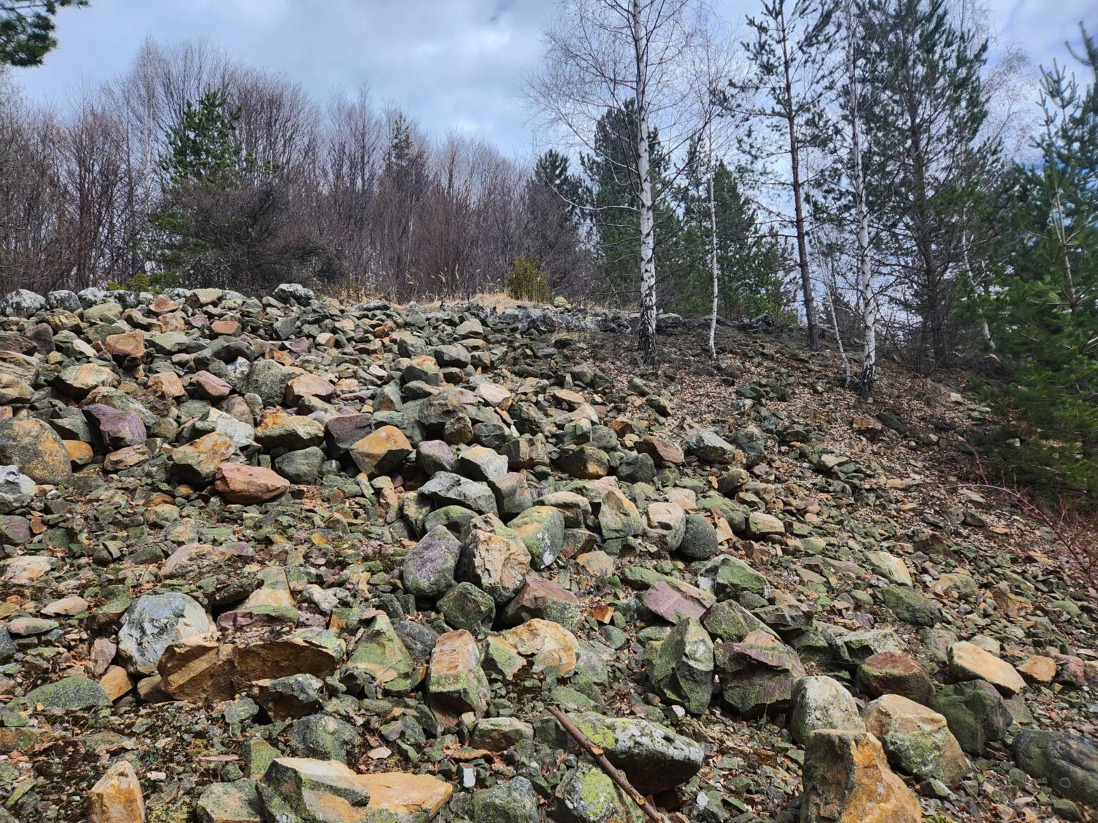
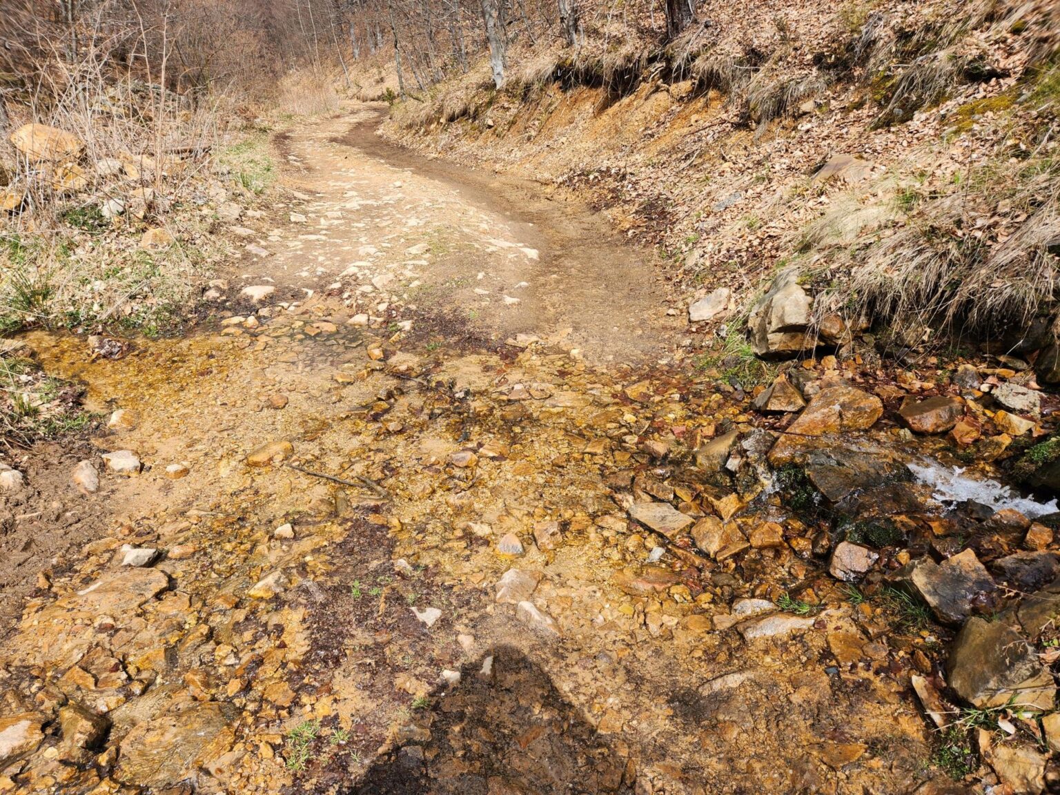
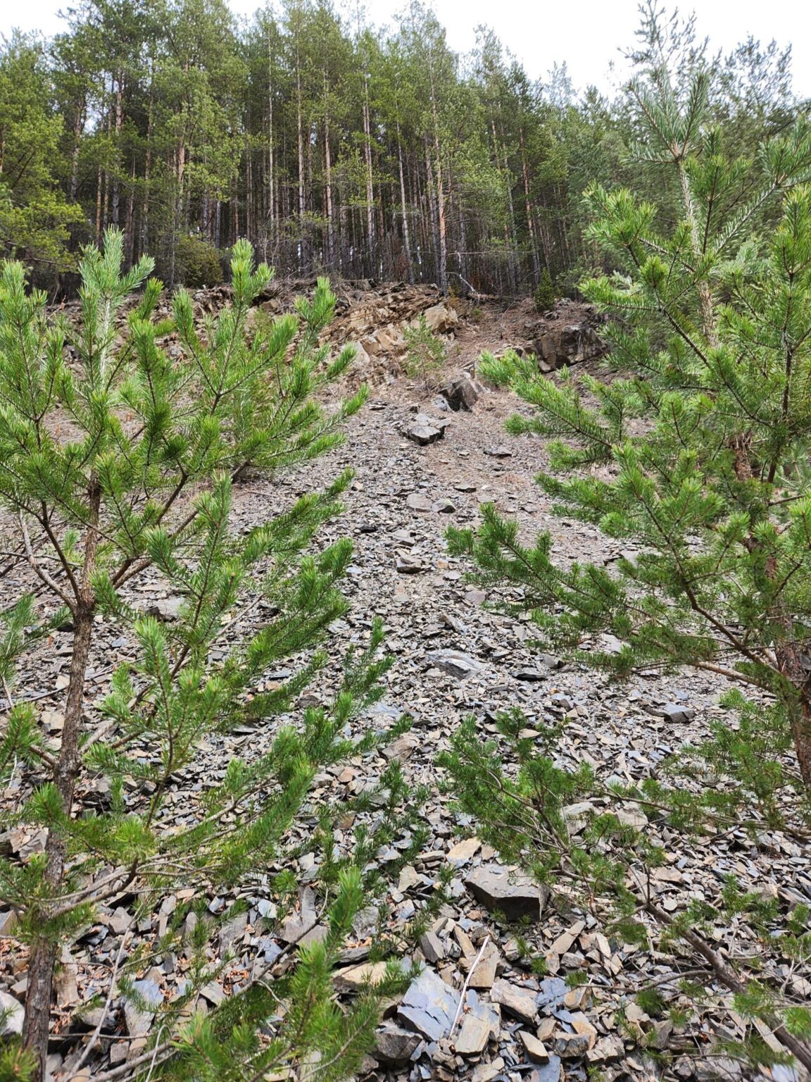
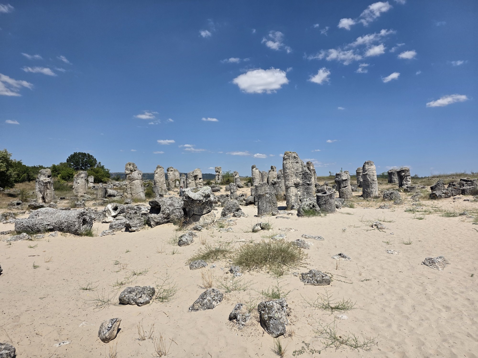
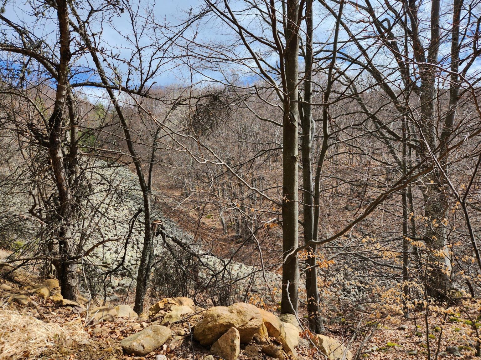
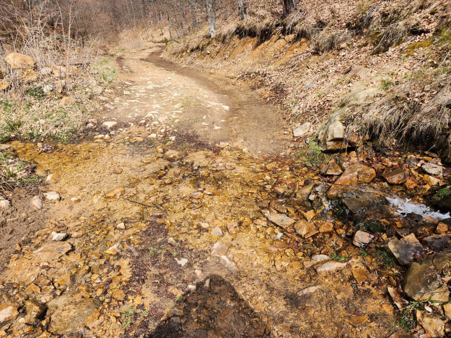
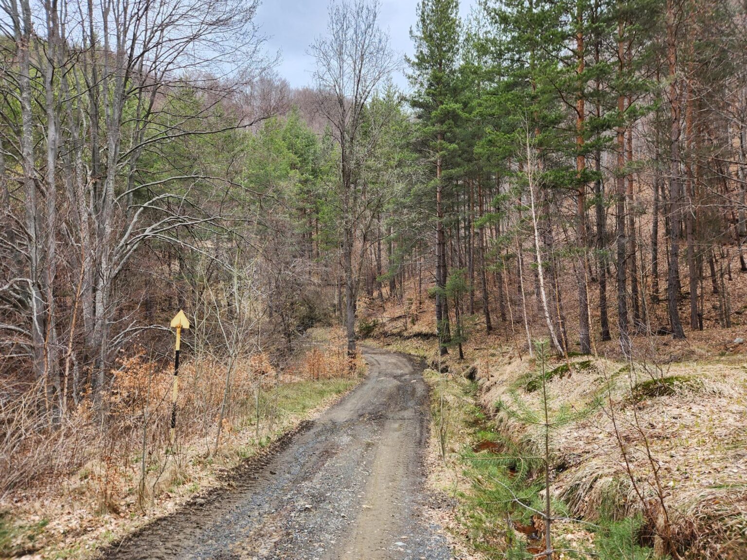
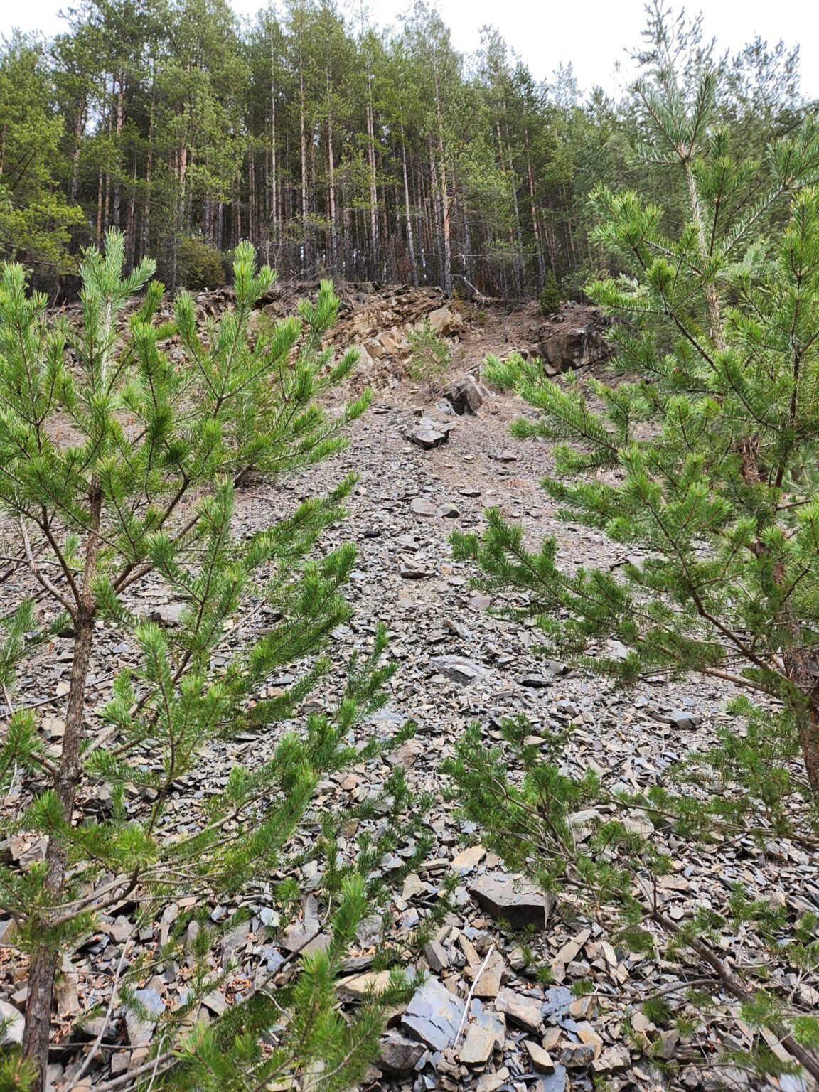
As you keep walking, don’t make my mistake of checking your navigation. You’ll see that you’re moving away from the shelter, and you’ll start playing out whole scenarios in your head about where you missed the turn. You didn’t miss anything; that’s just how the route goes. You’re following WHITE-GREEN-WHITE trail markings. After about 15 minutes you suddenly spot something alarmingly familiar. Hang on, did we take a wrong turn? What are the moraines of Zlatnite Mostove (the Golden Bridges) doing here?! Ha, it’s a stone river, right here. Interesting. It doesn’t seem nearly as well known on this side of Vitosha. That goes to show what a bit of marketing can do. The Golden Bridges are famous, yet it turns out they’re not so one-of-a-kind after all.
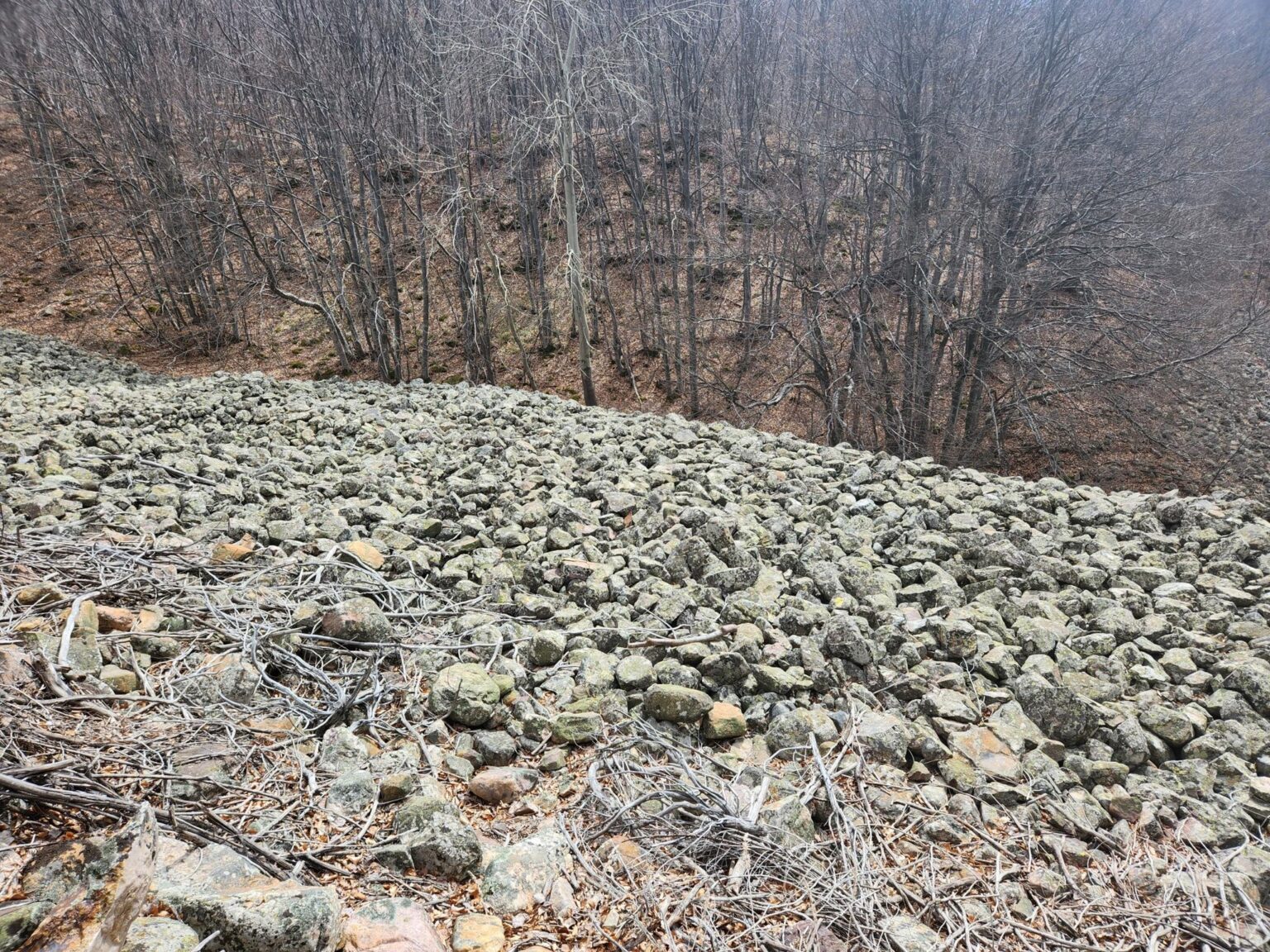
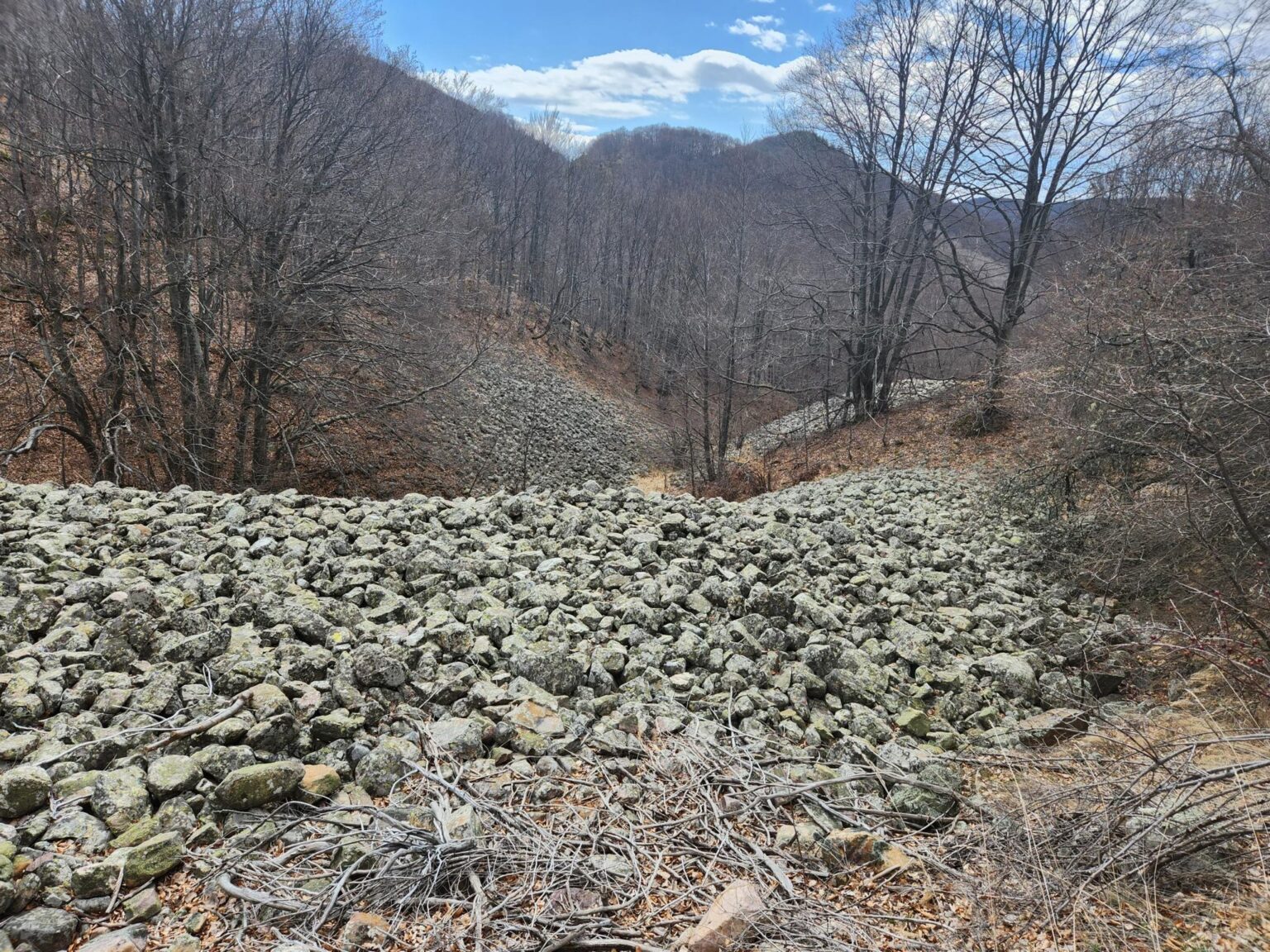
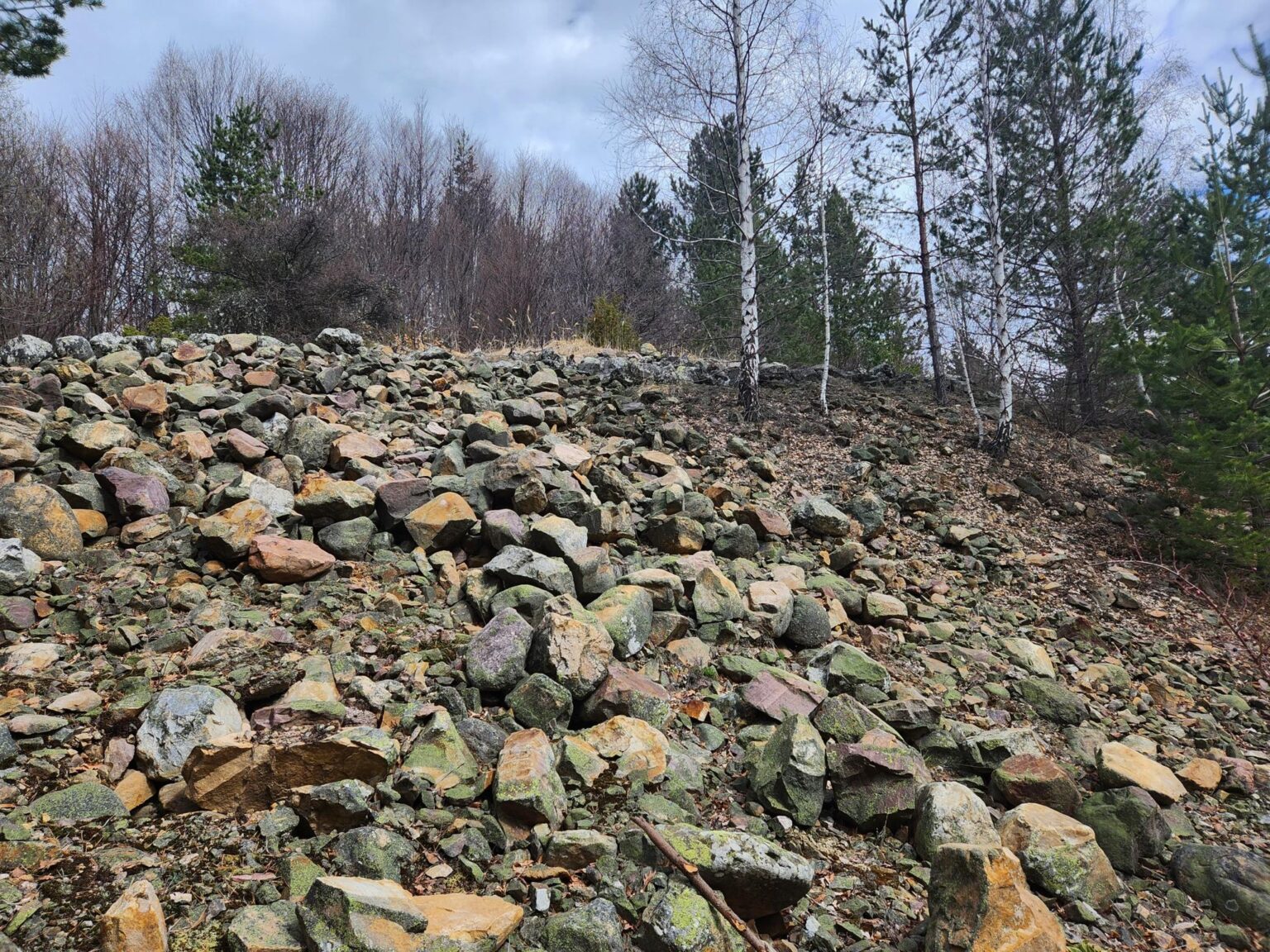
Back on the trail
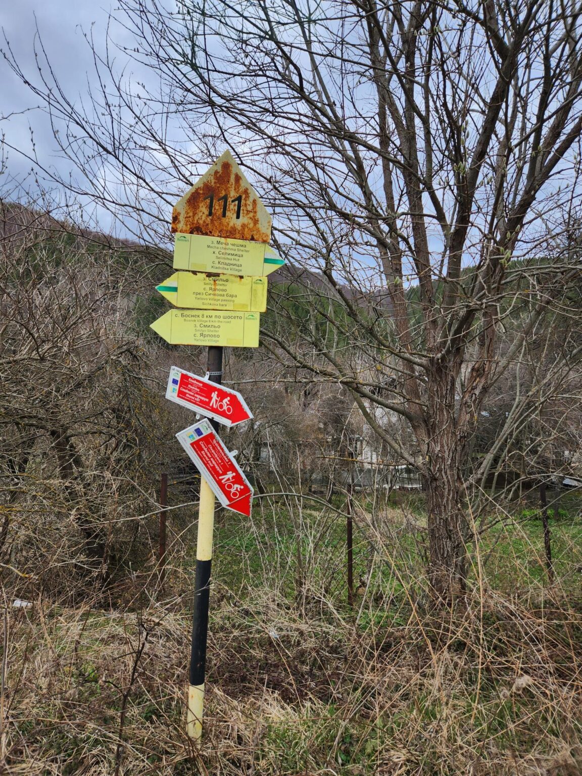
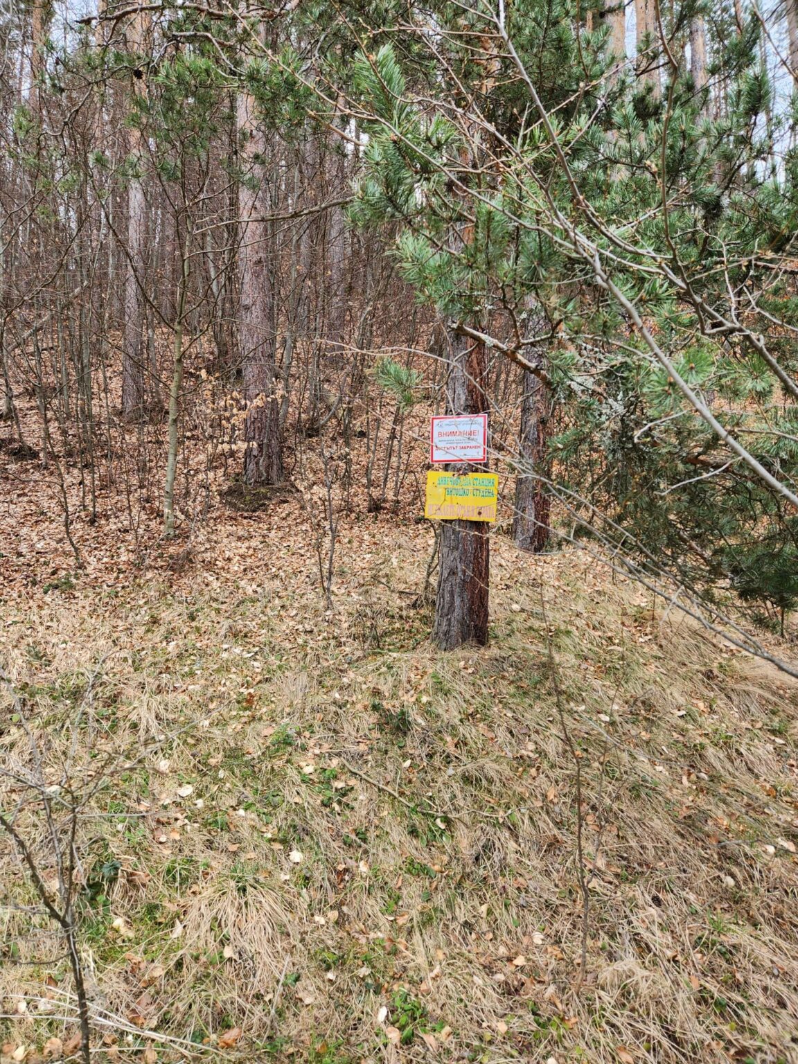
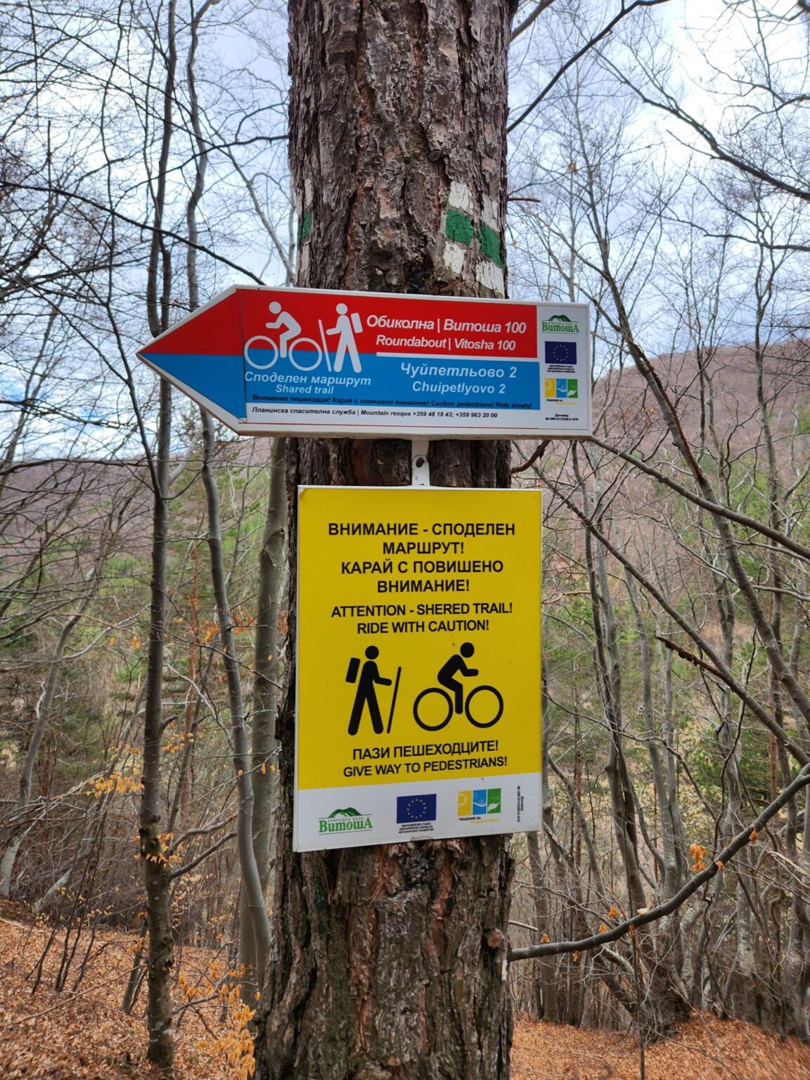
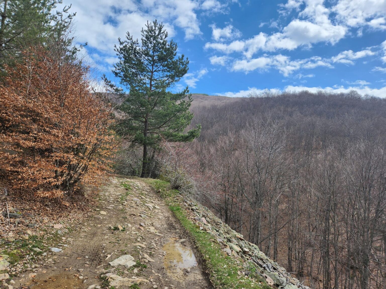
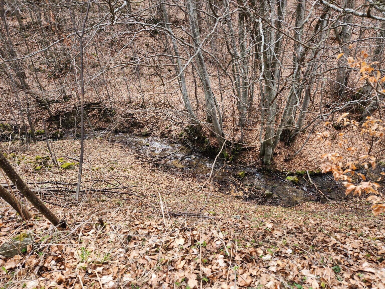
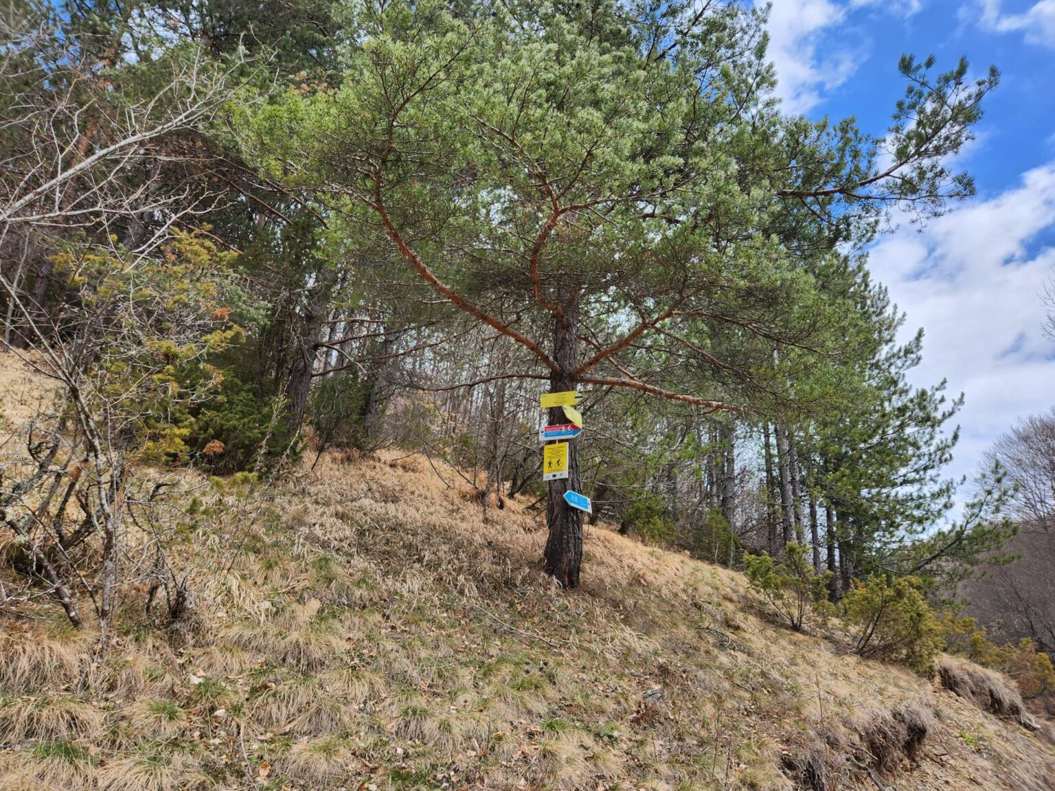
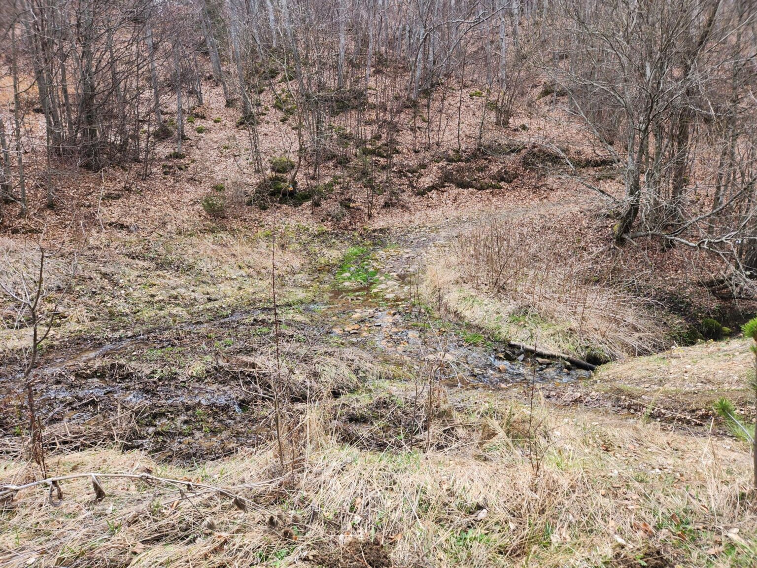
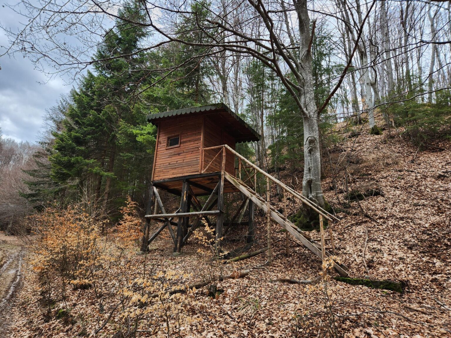
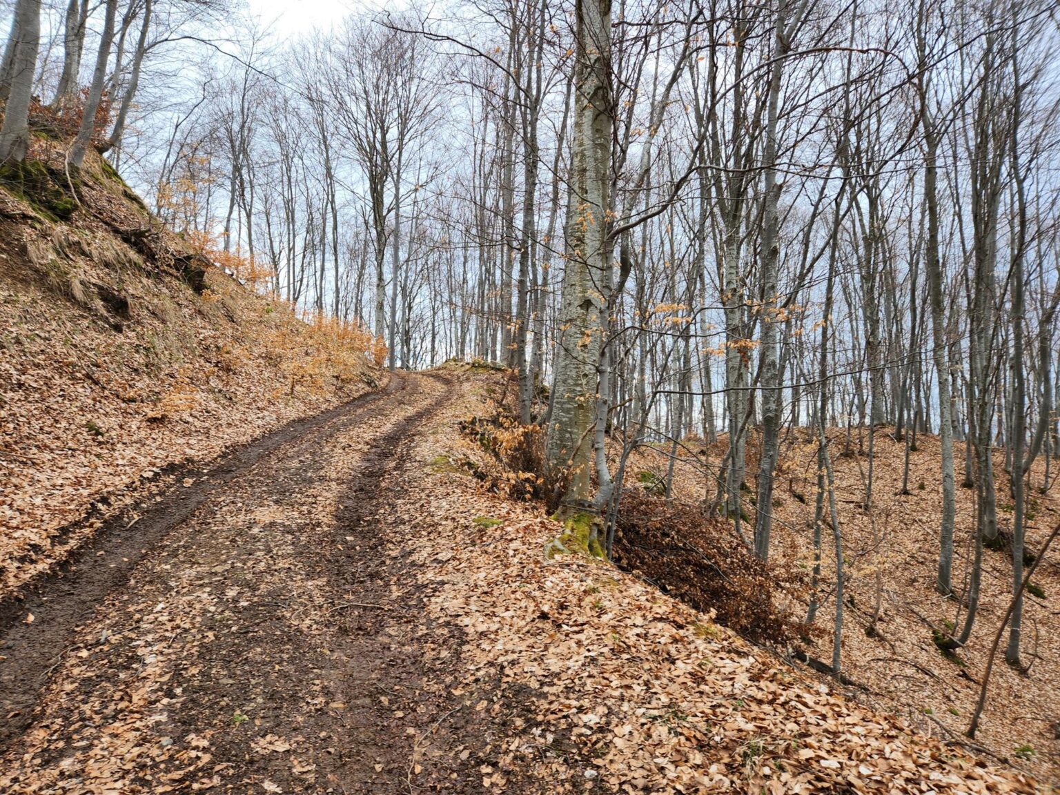
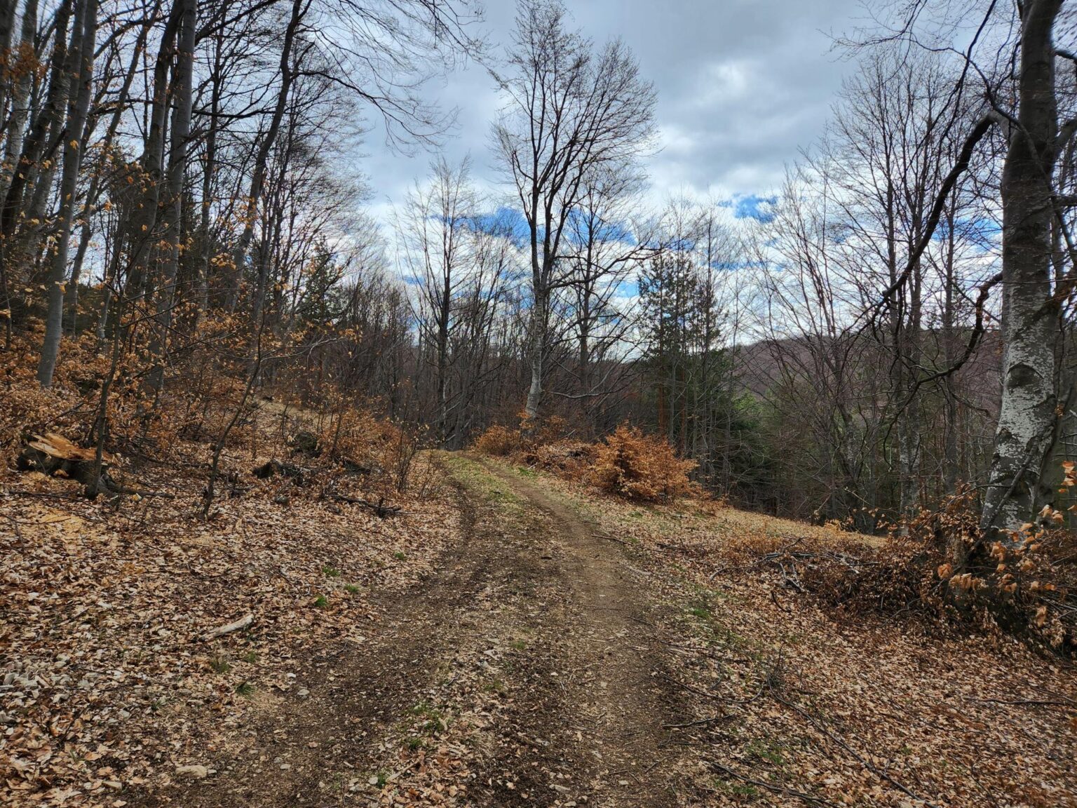
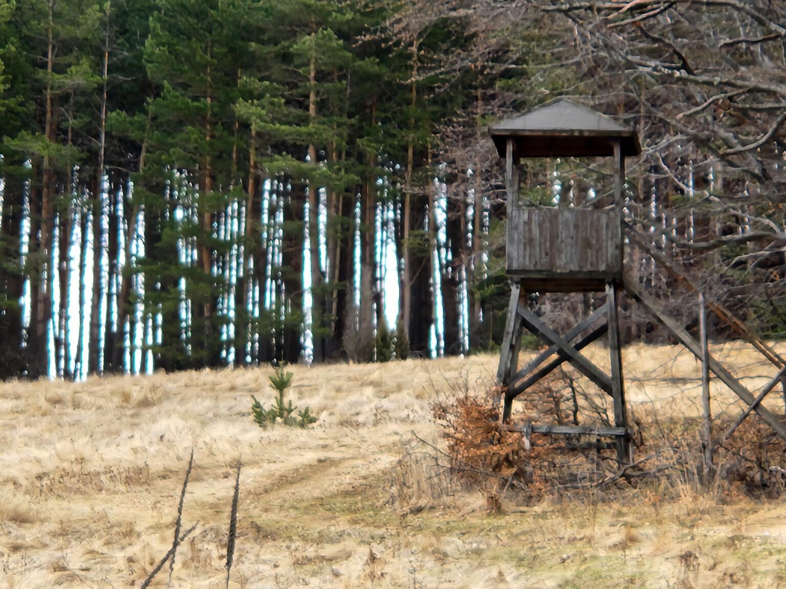
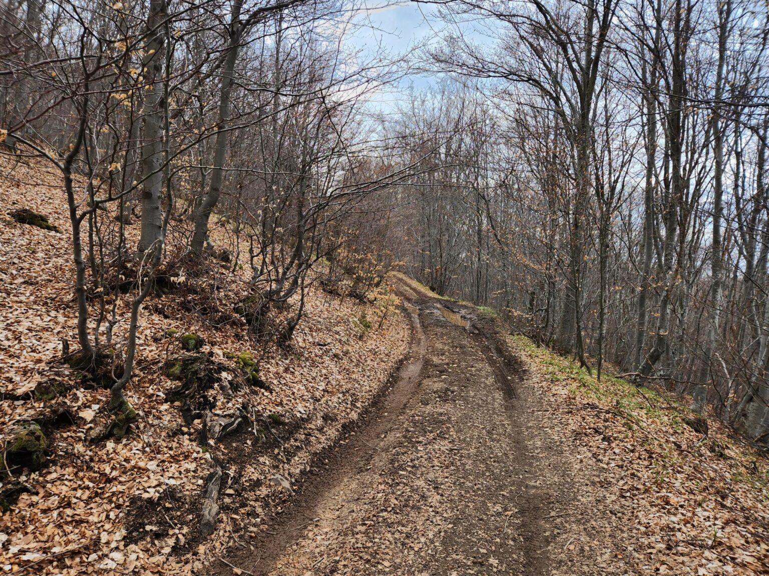
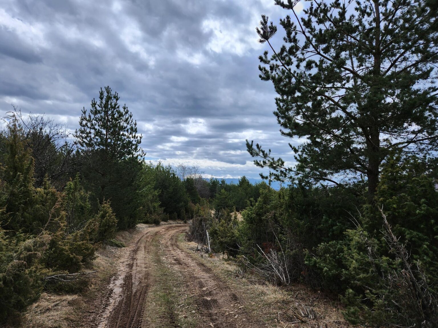
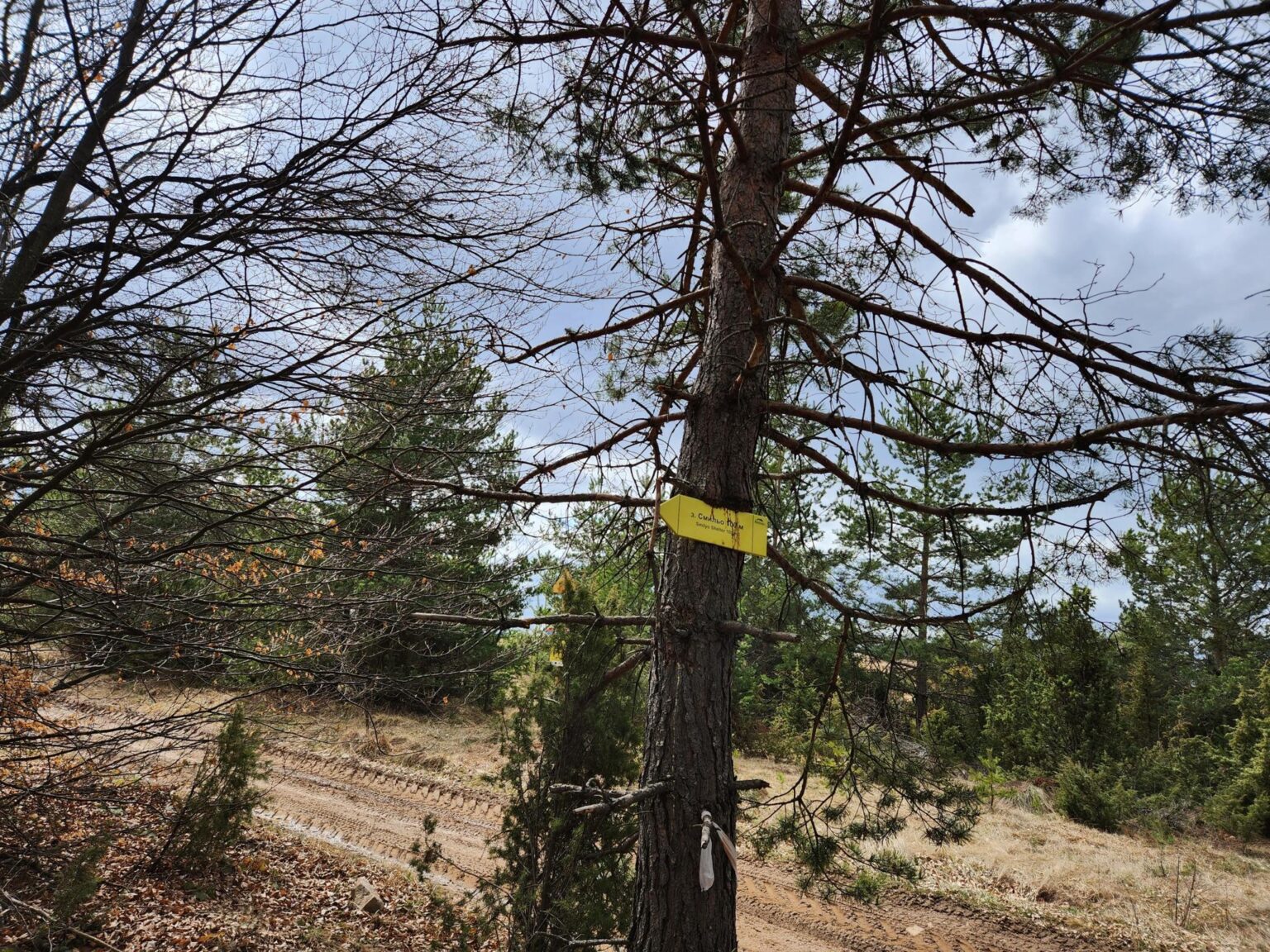
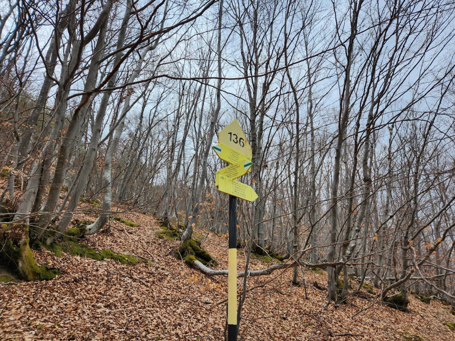
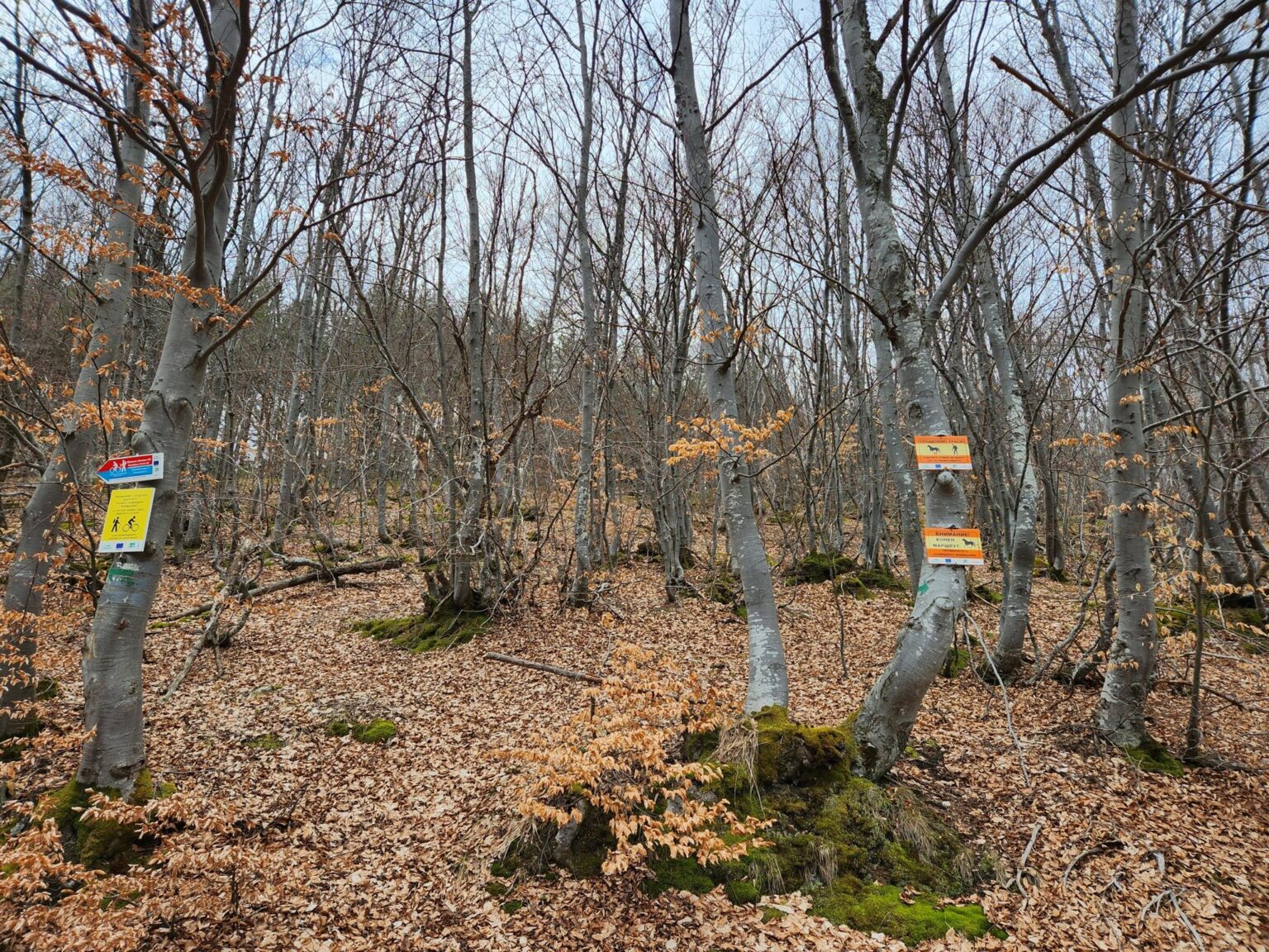
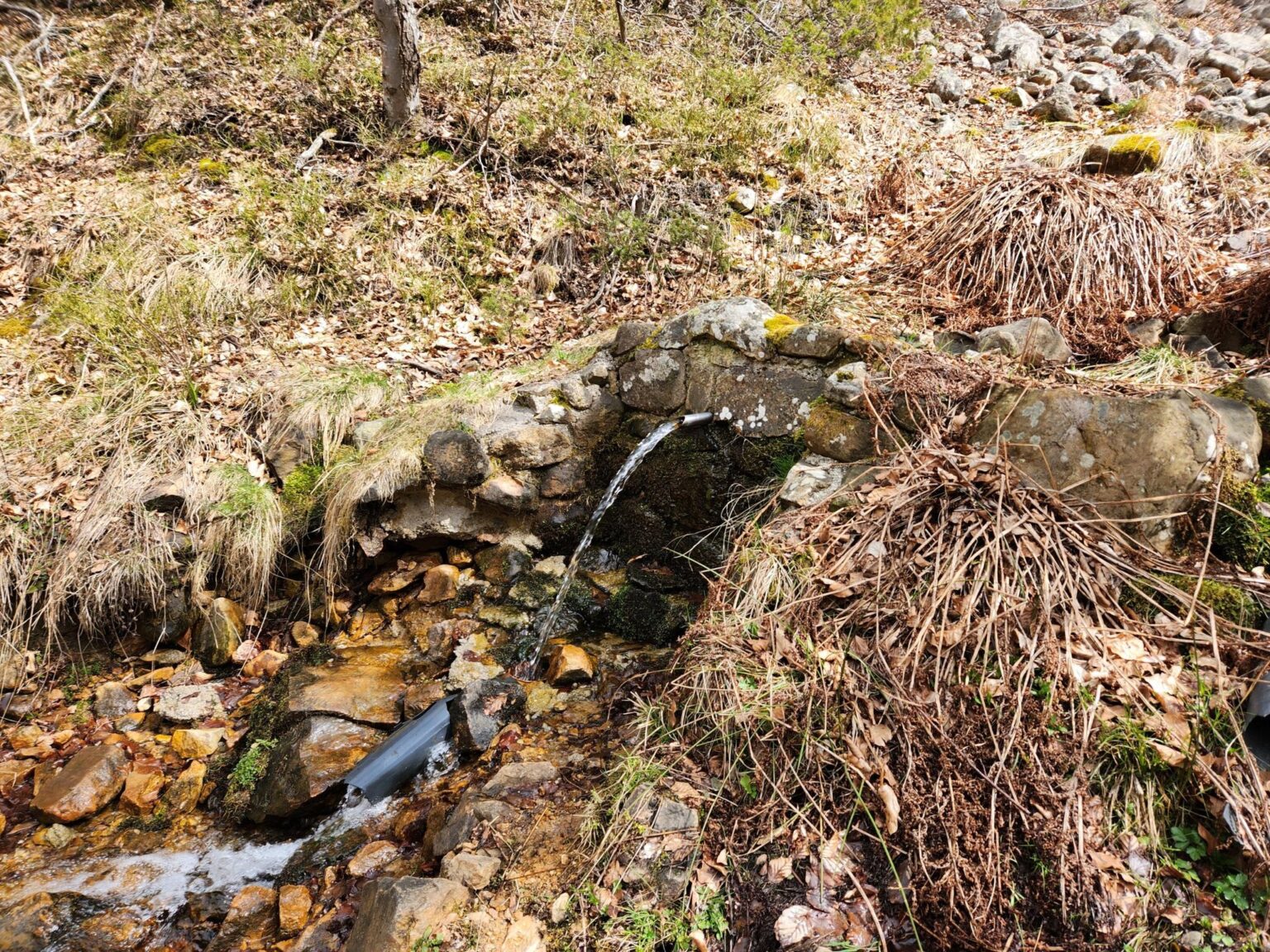
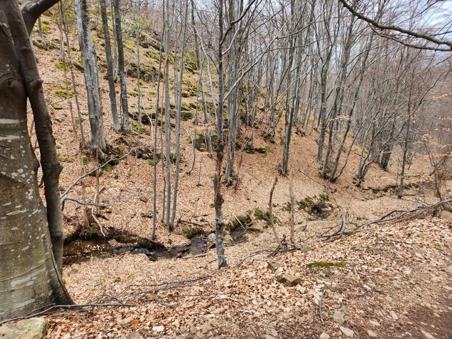
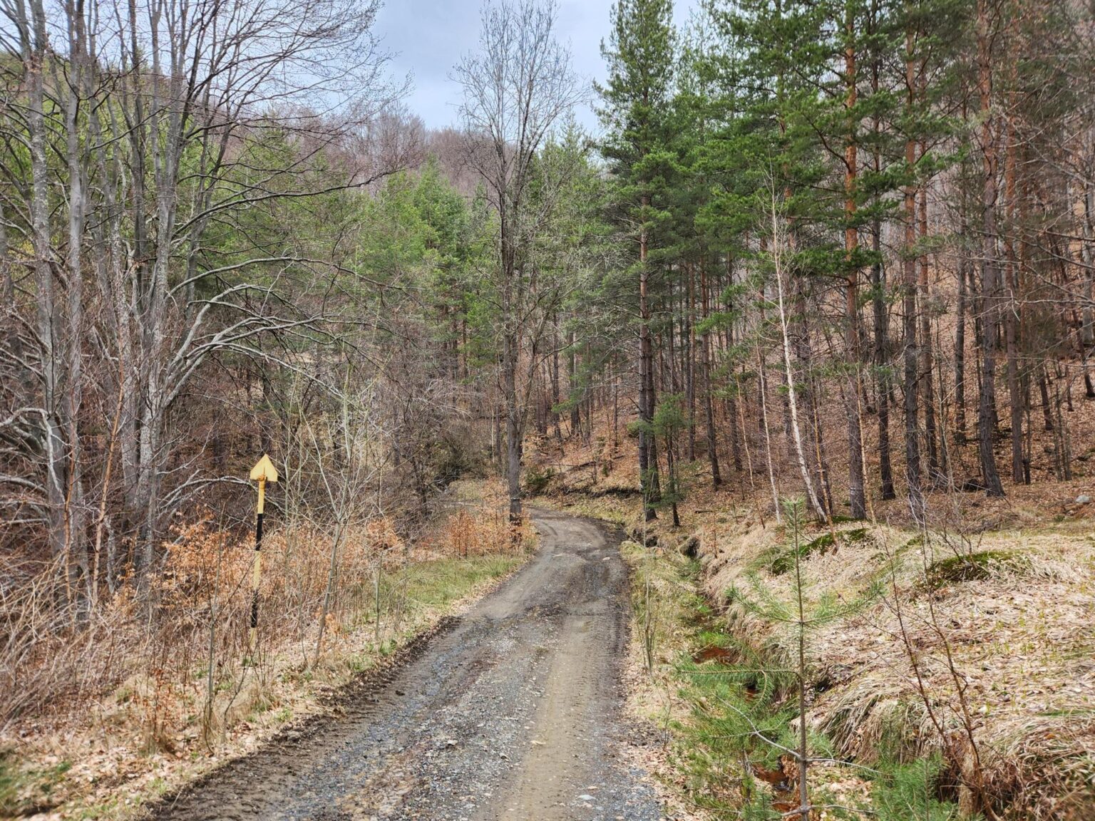
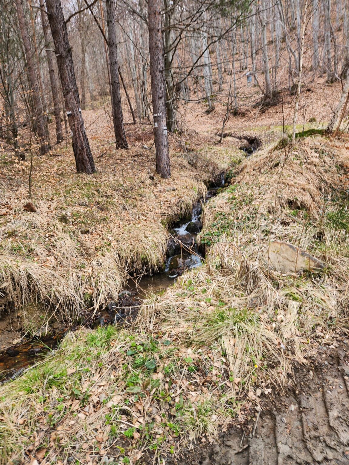
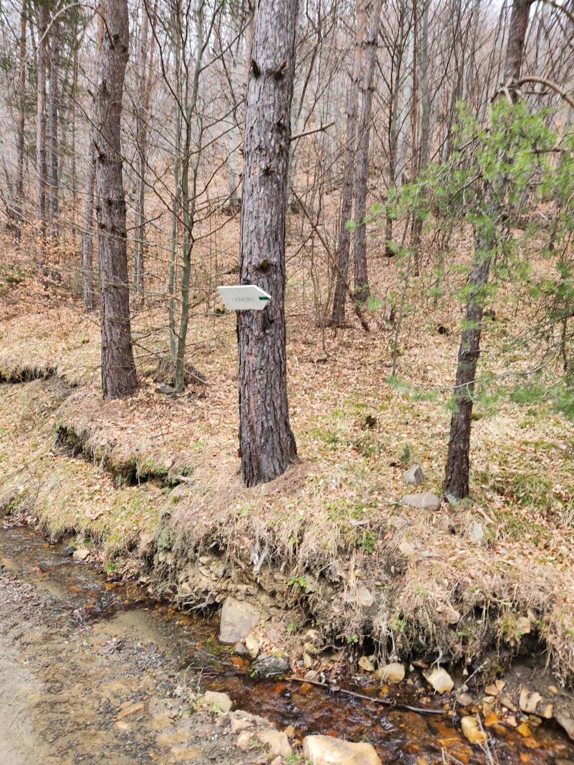
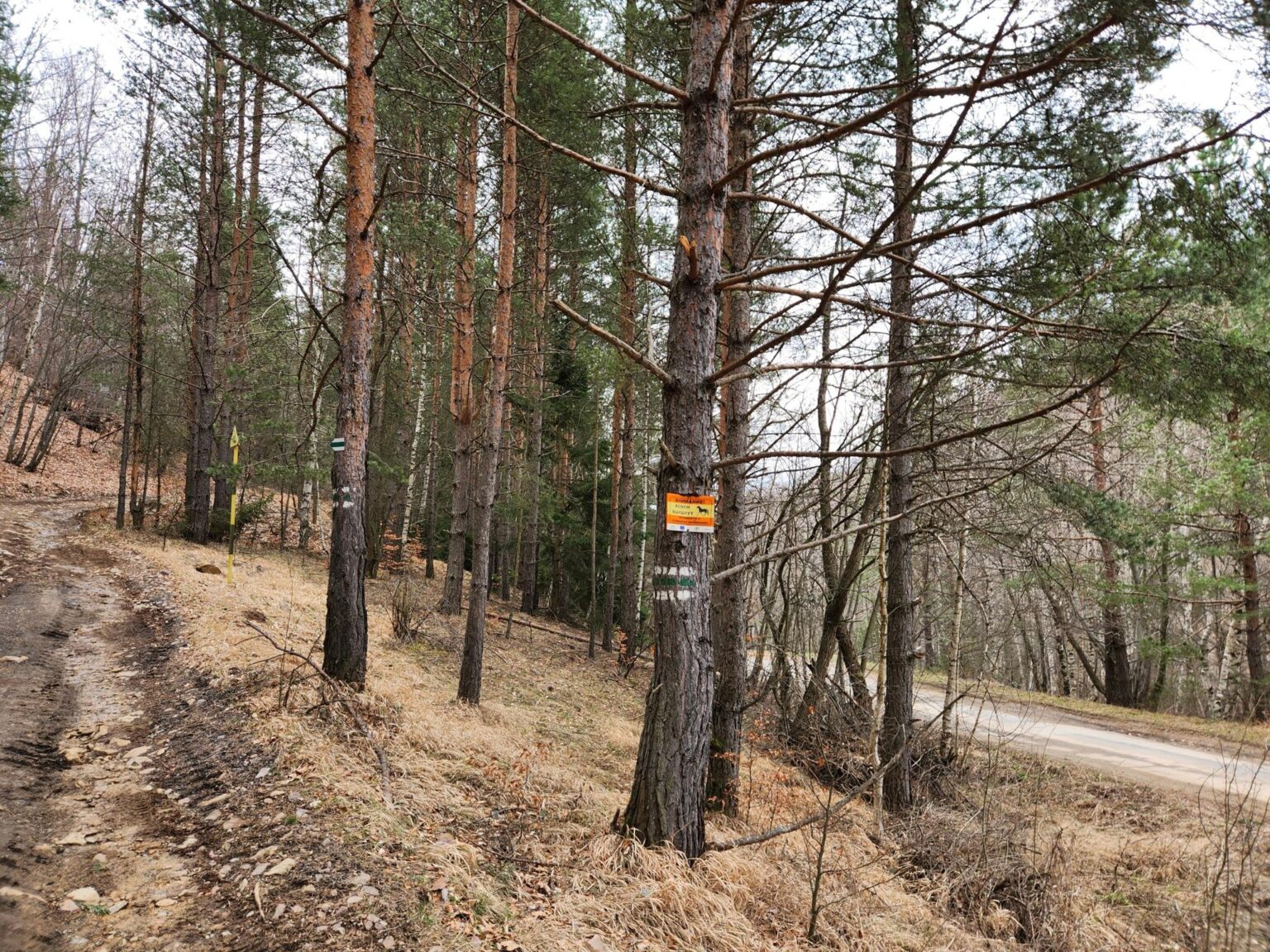
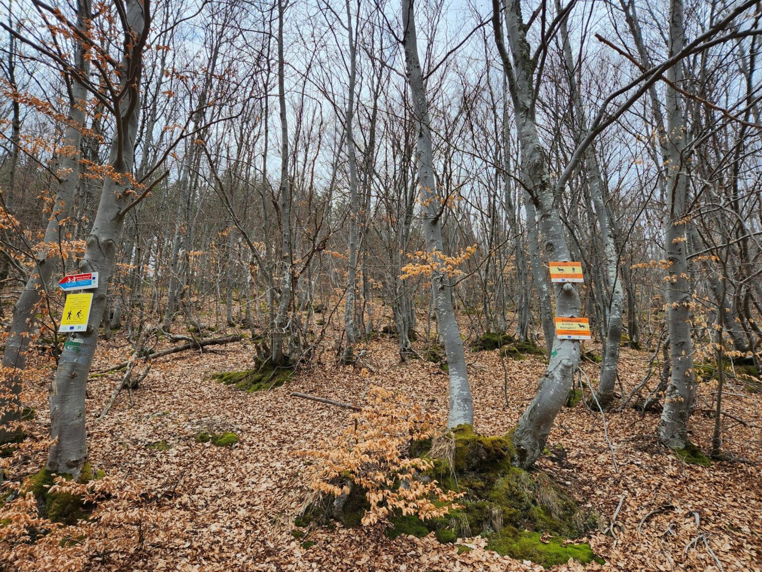
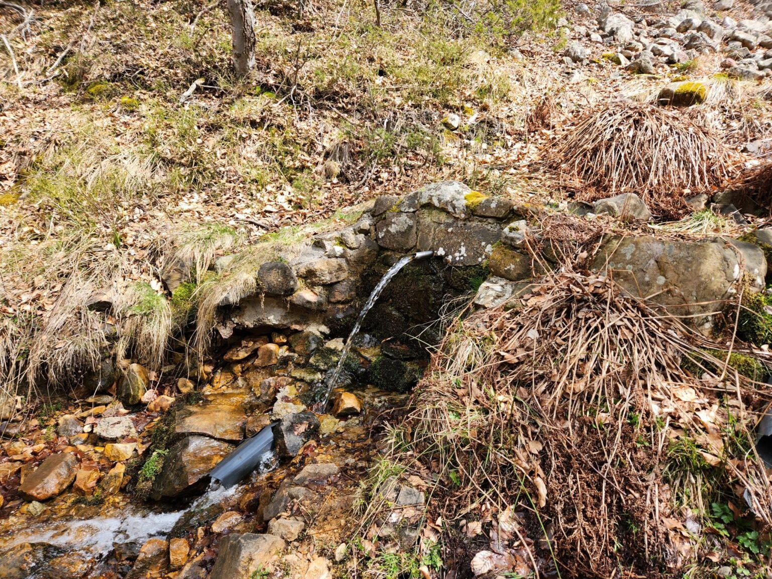
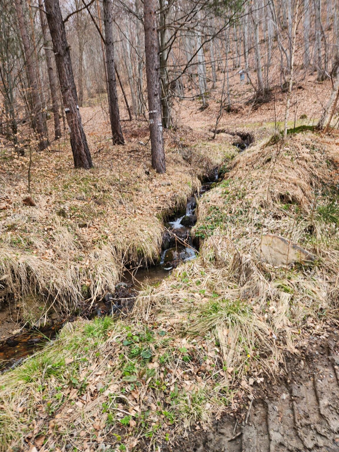
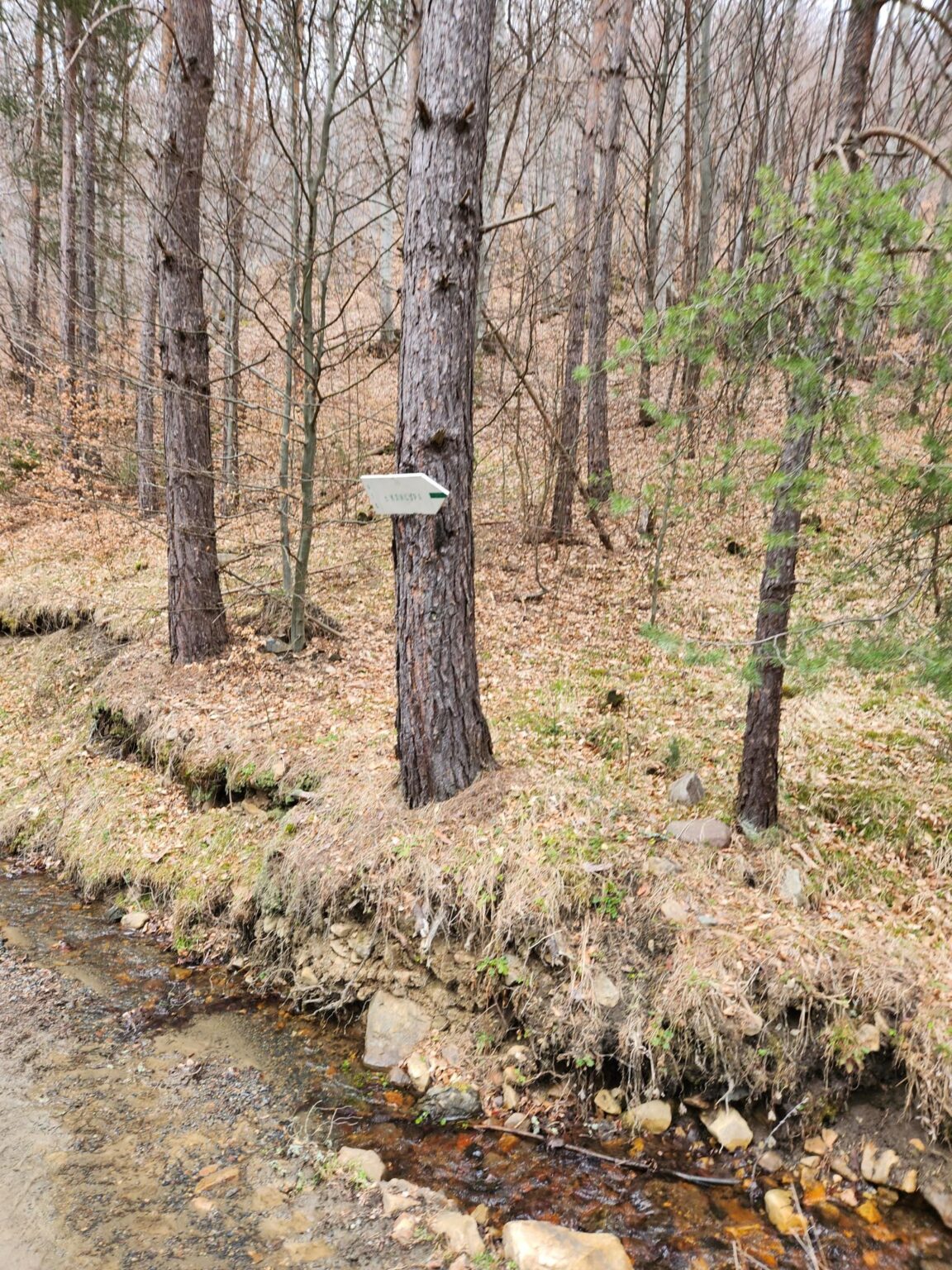
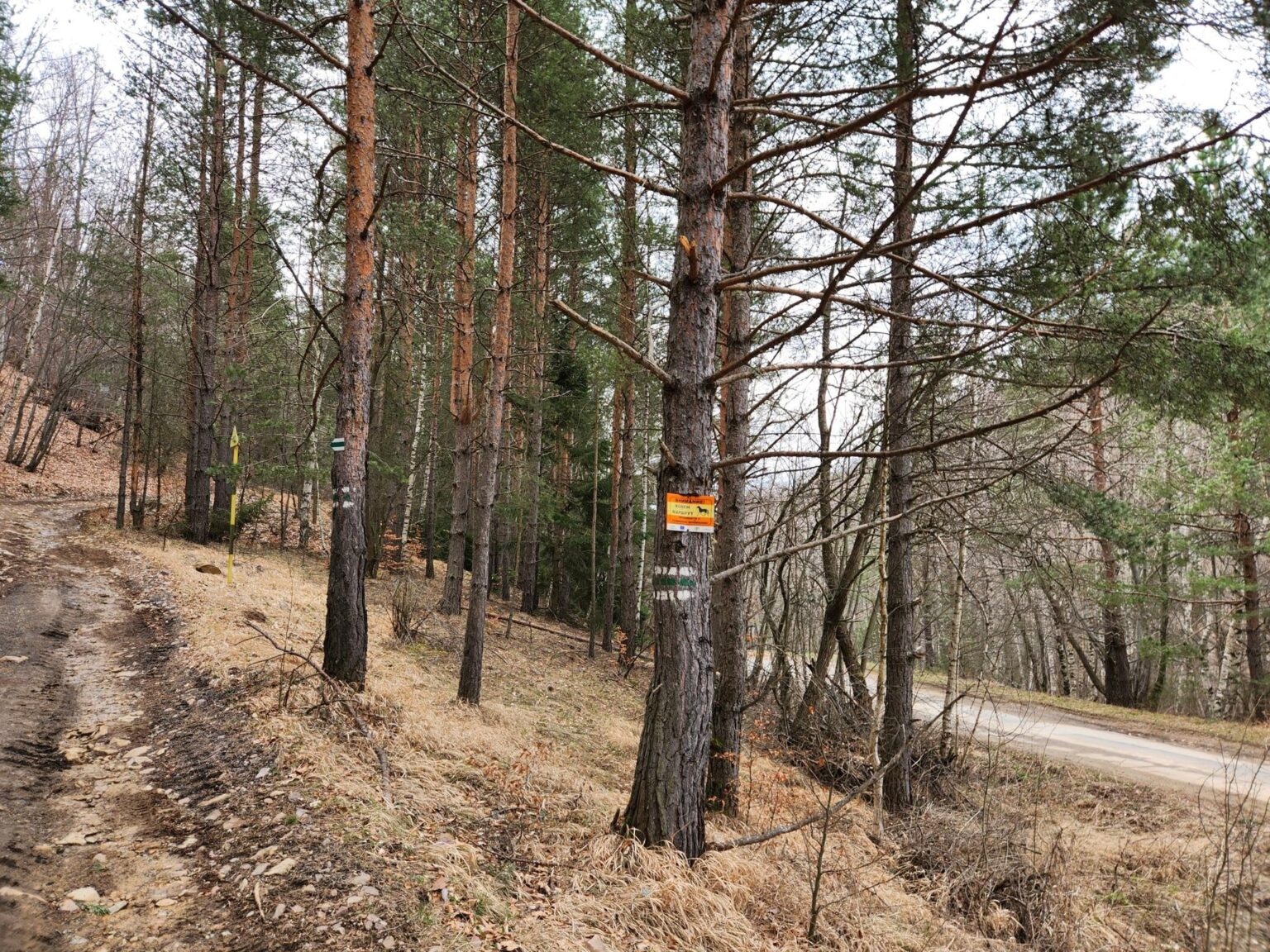
After a short rest, some admiring and some photographing, we carry on. Up to here you’ve only been moving away from the shelter. Next you reach a junction with clearly marked signs, as long as you spot them: they hang high up on a tree to the left of the path. Take the right-most branch, as the signs say. You cross a stream, and a more serious climb begins. This was my big plot twist, the moment I realised I was now on a WHITE-RED-WHITE route instead of white-green-white. Don’t worry, you’re on the right path, and it really is a proper climb. Along the way you pass two little tower-like houses. I’m not sure what they are. Maybe they were once fire lookouts, or maybe they’re for a forest ranger?!
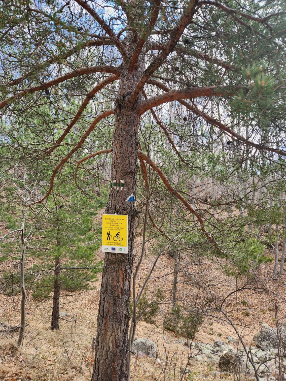
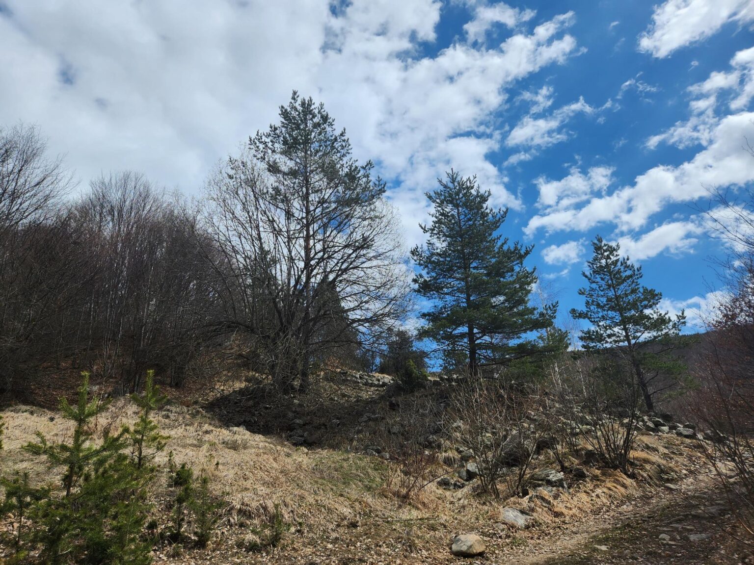
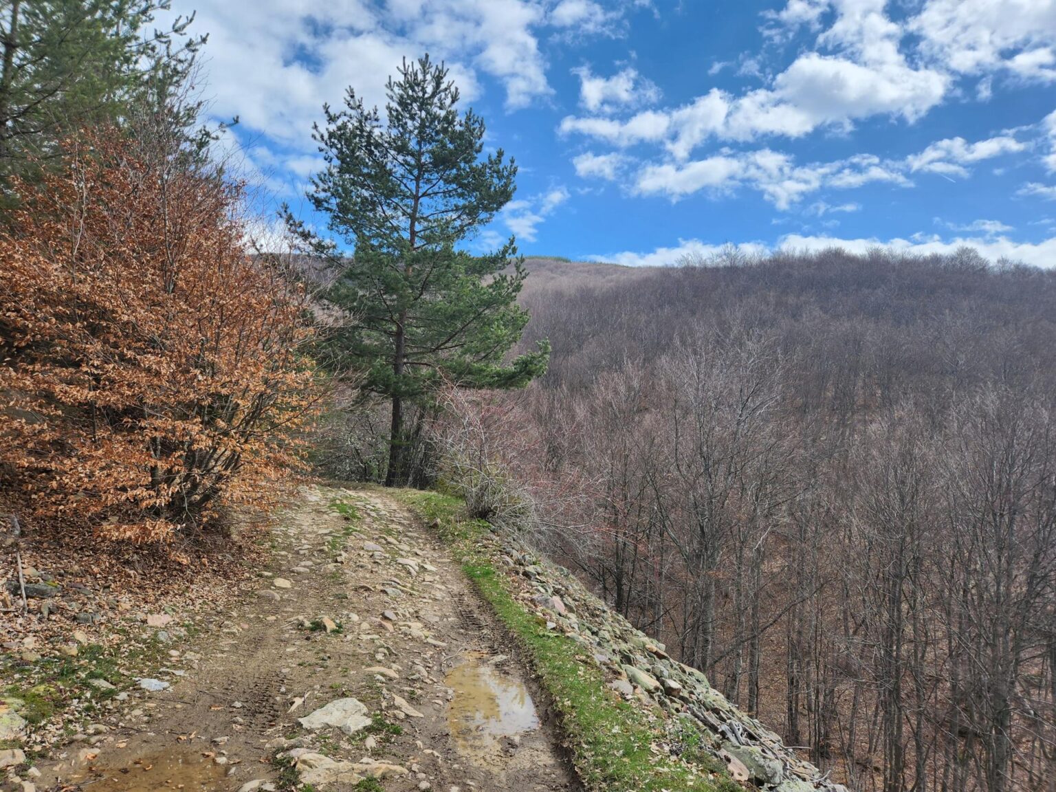
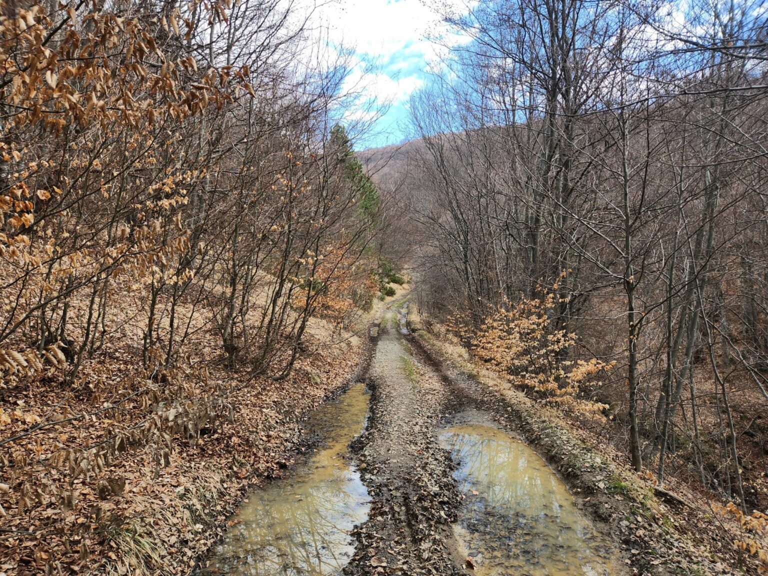
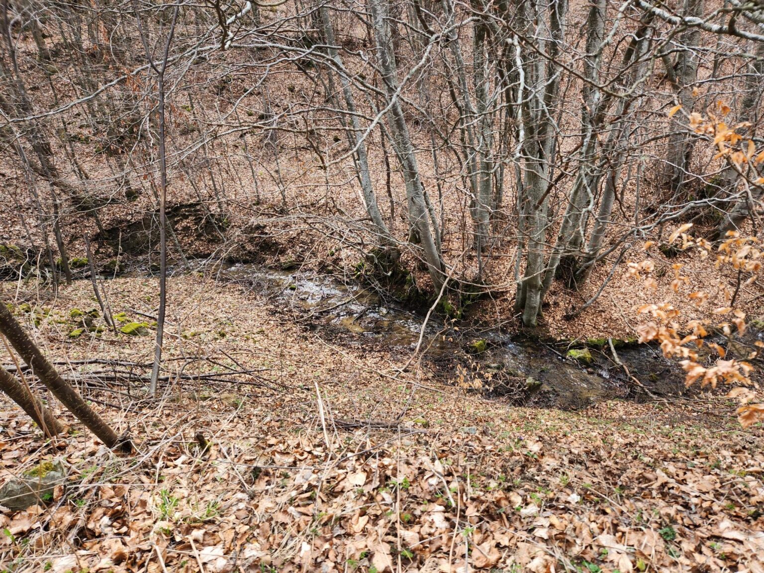
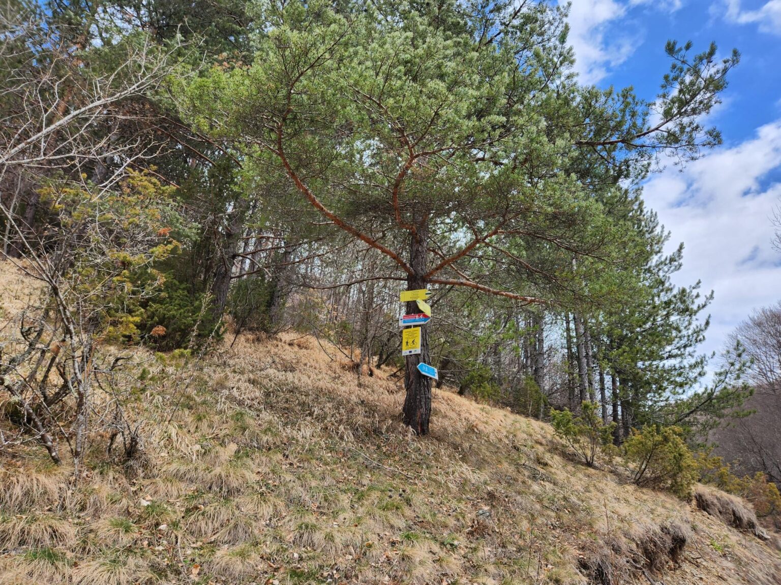
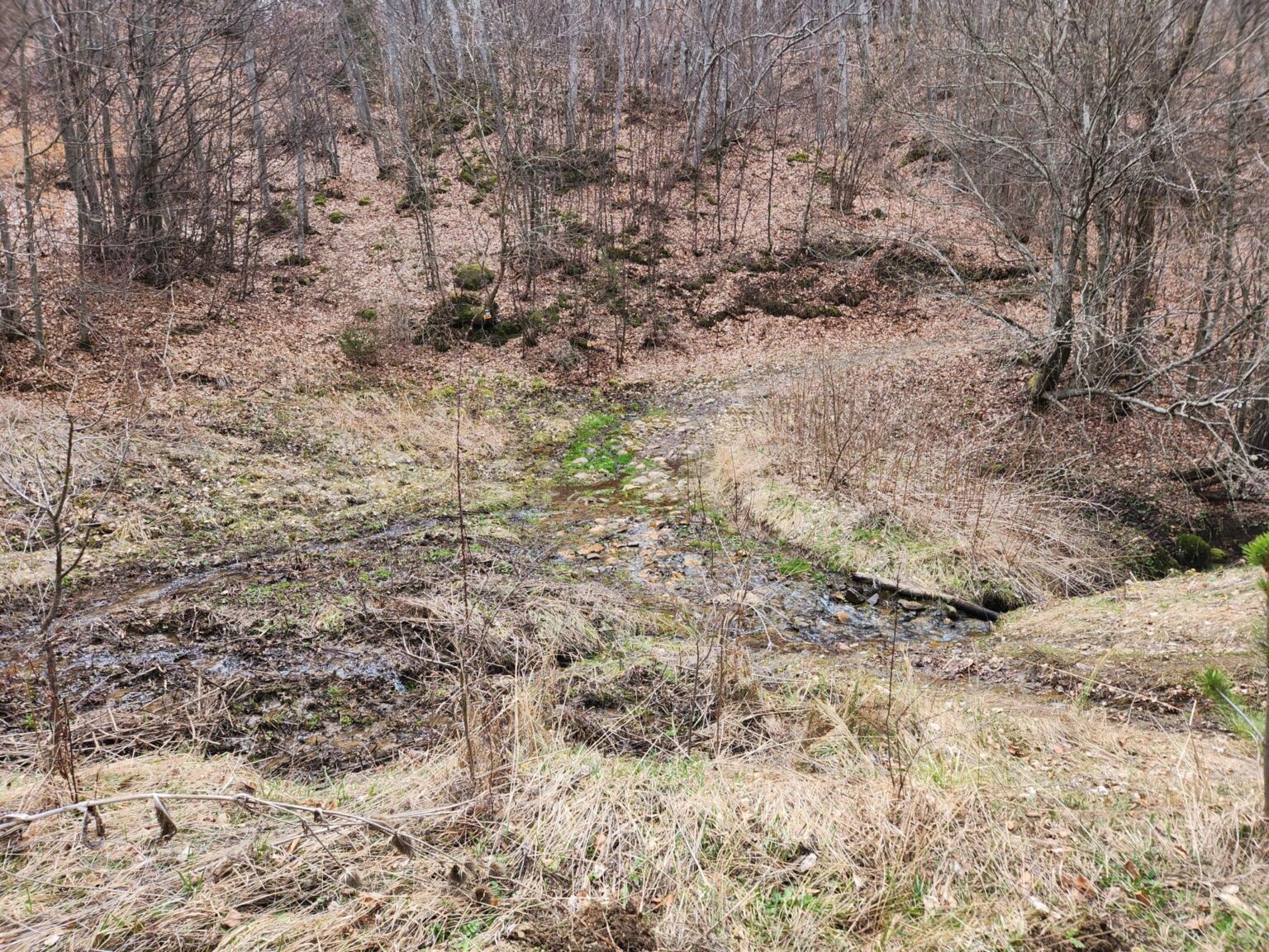
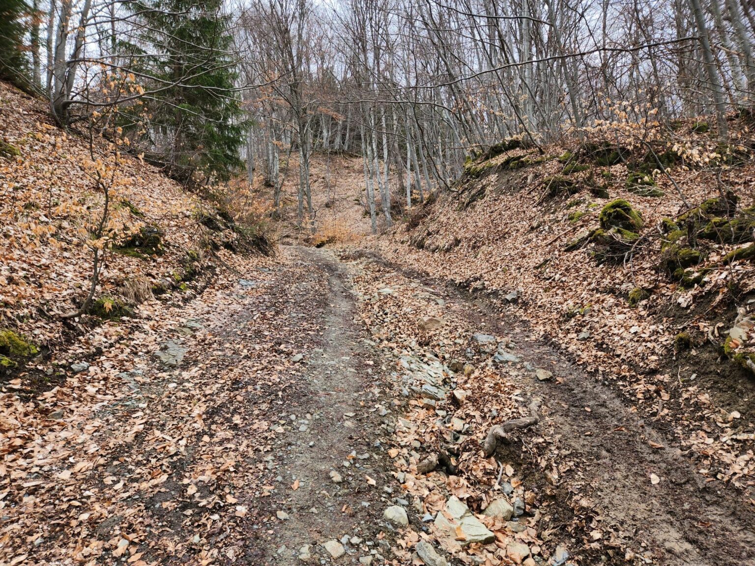
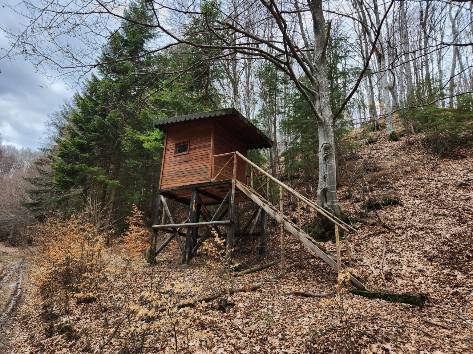
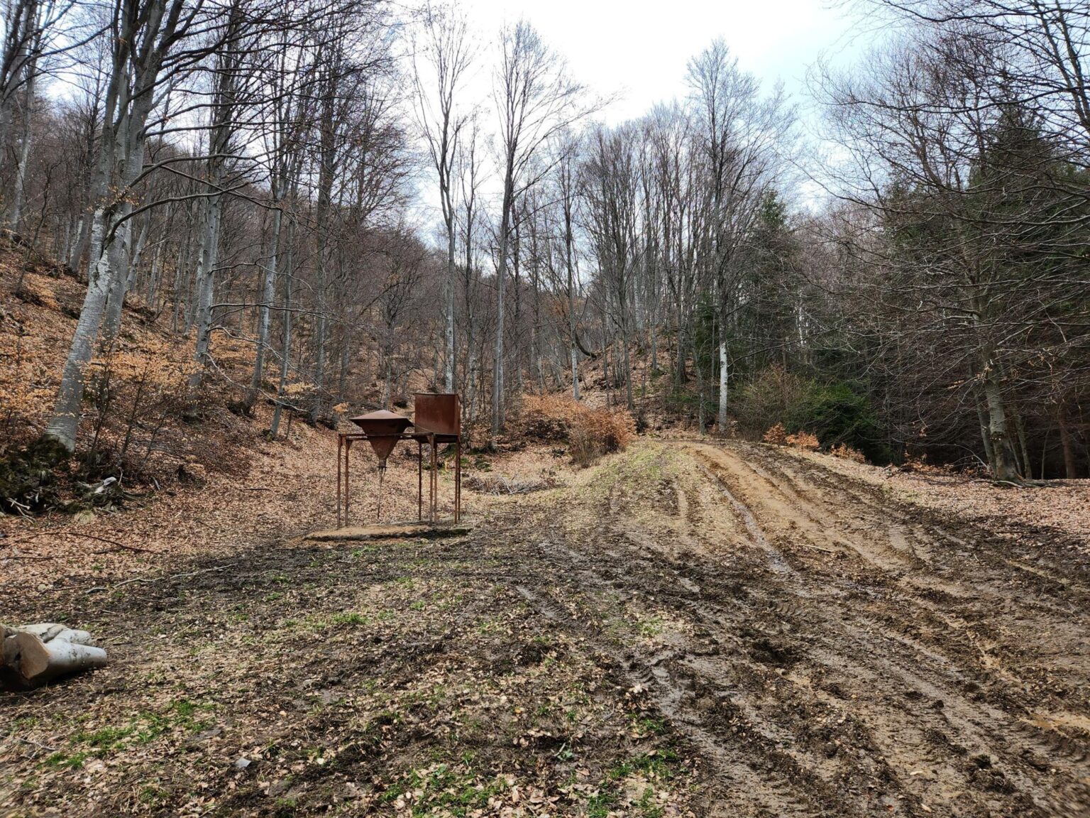
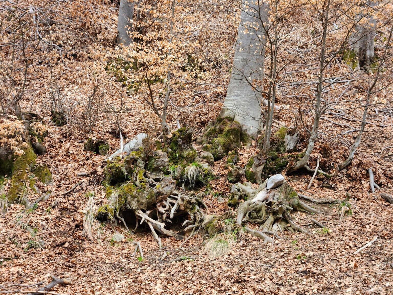
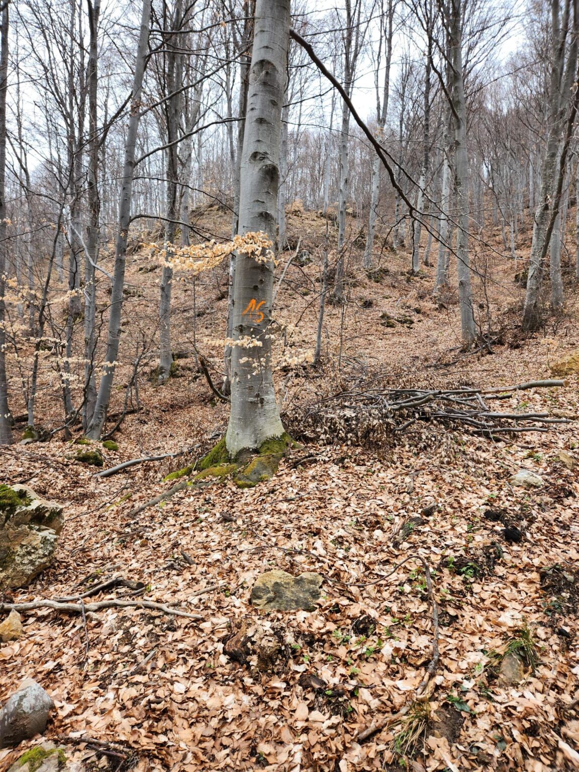
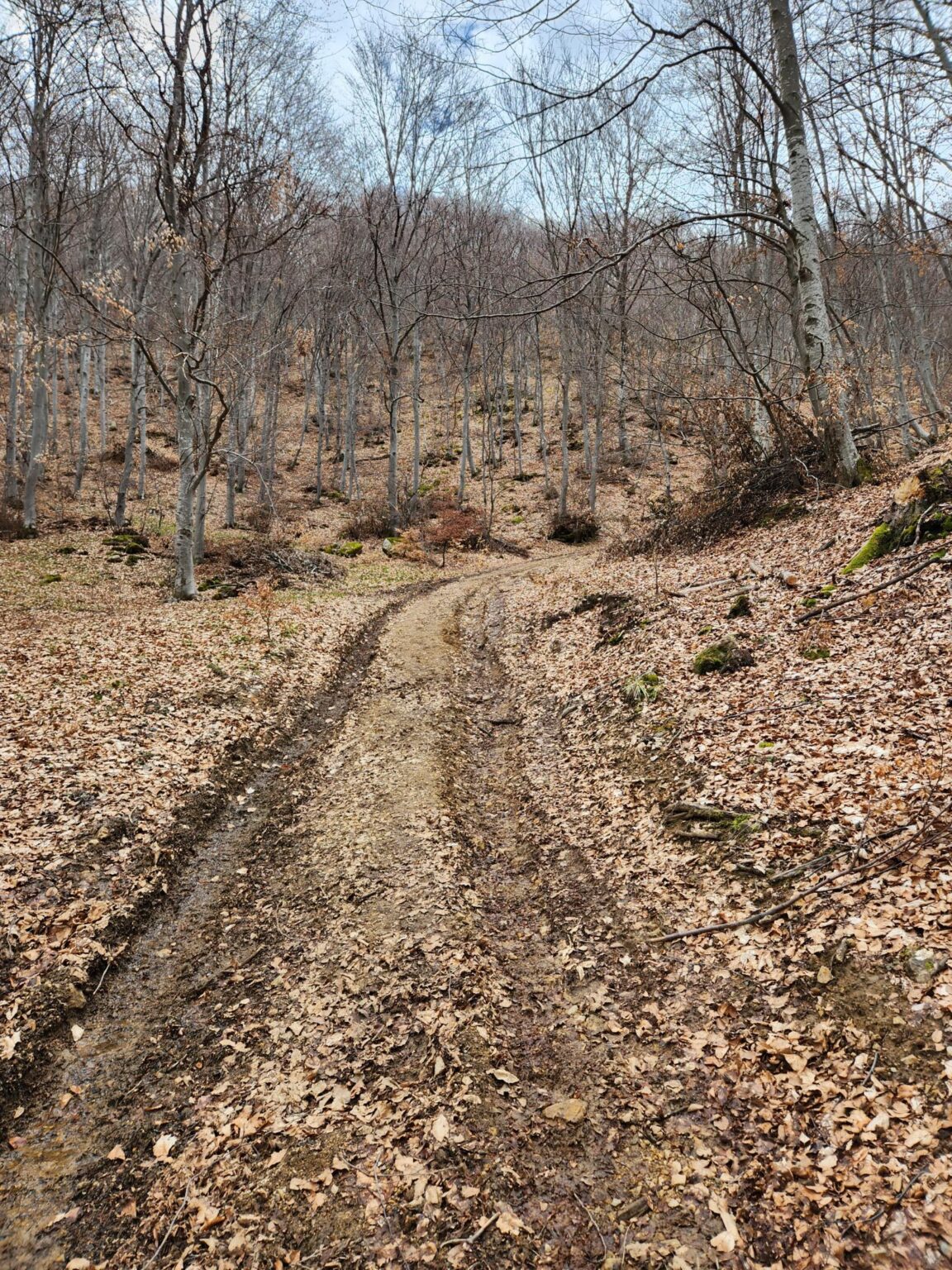
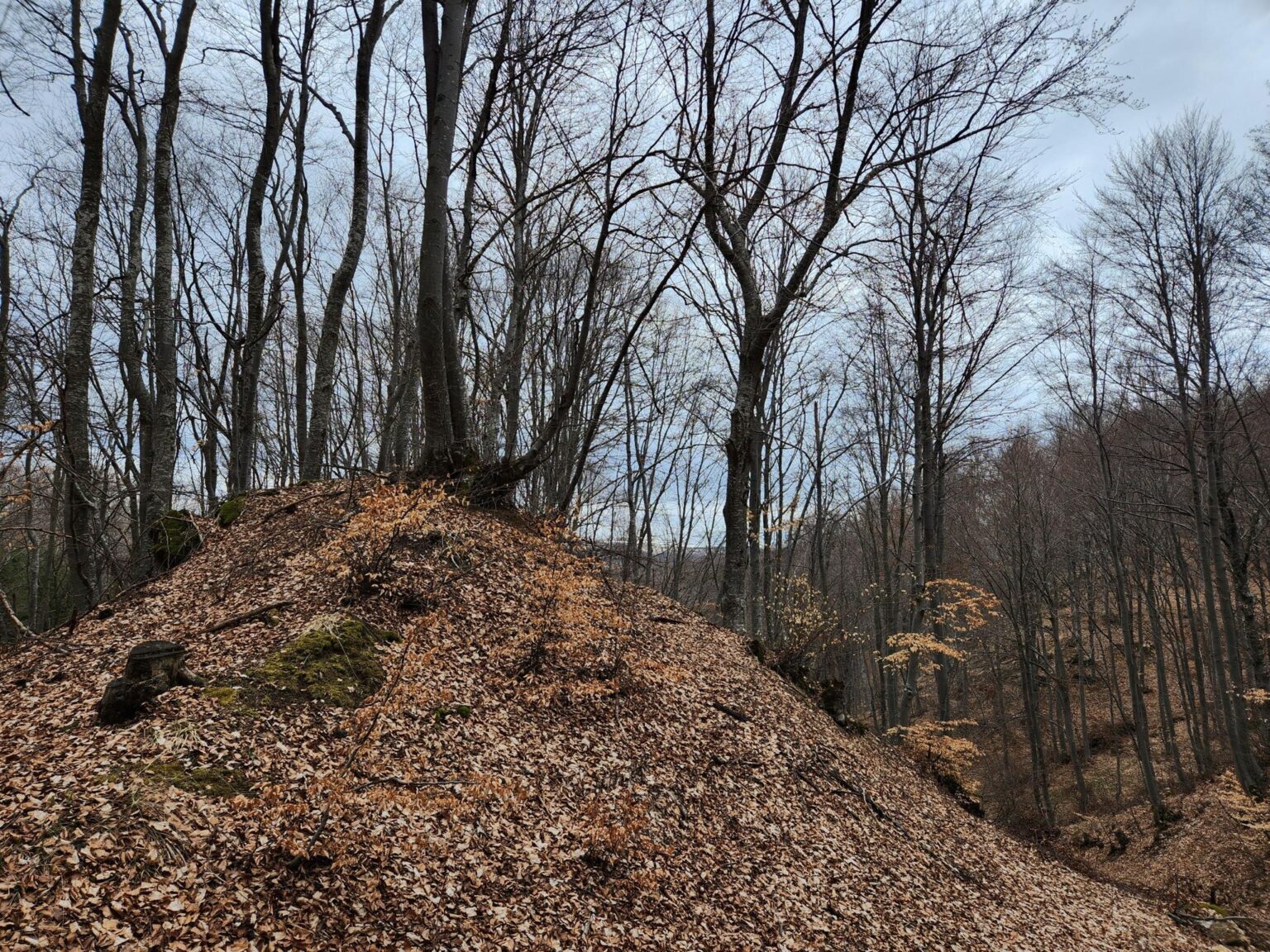
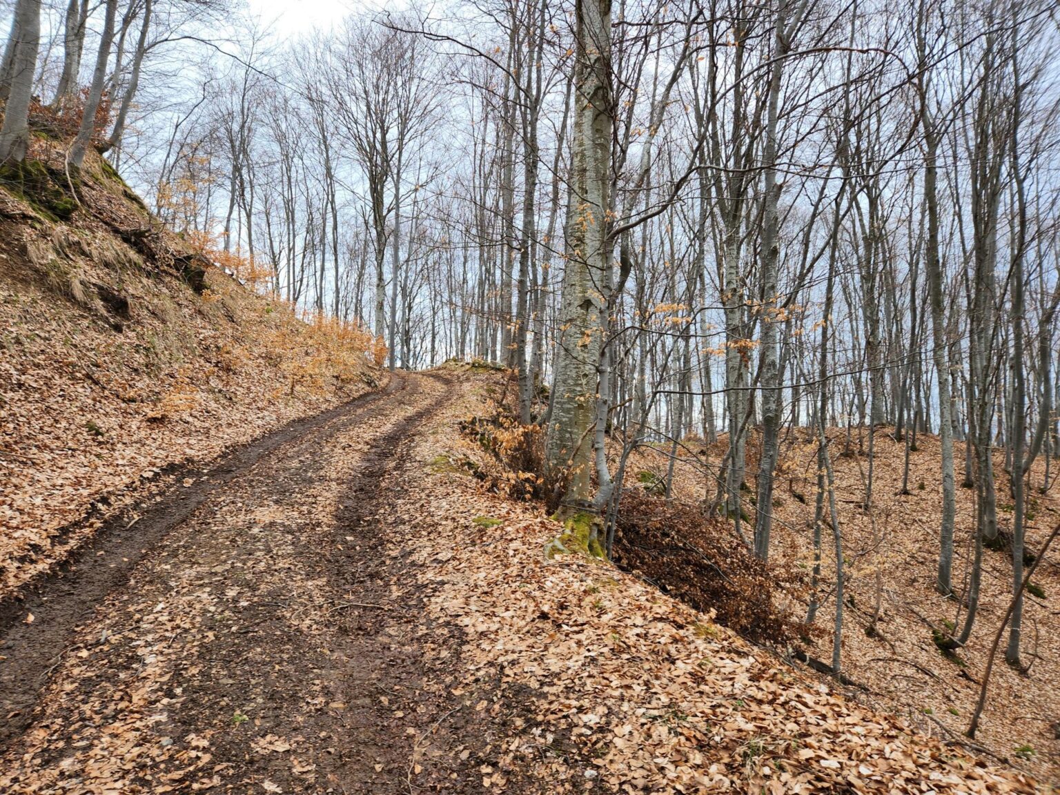
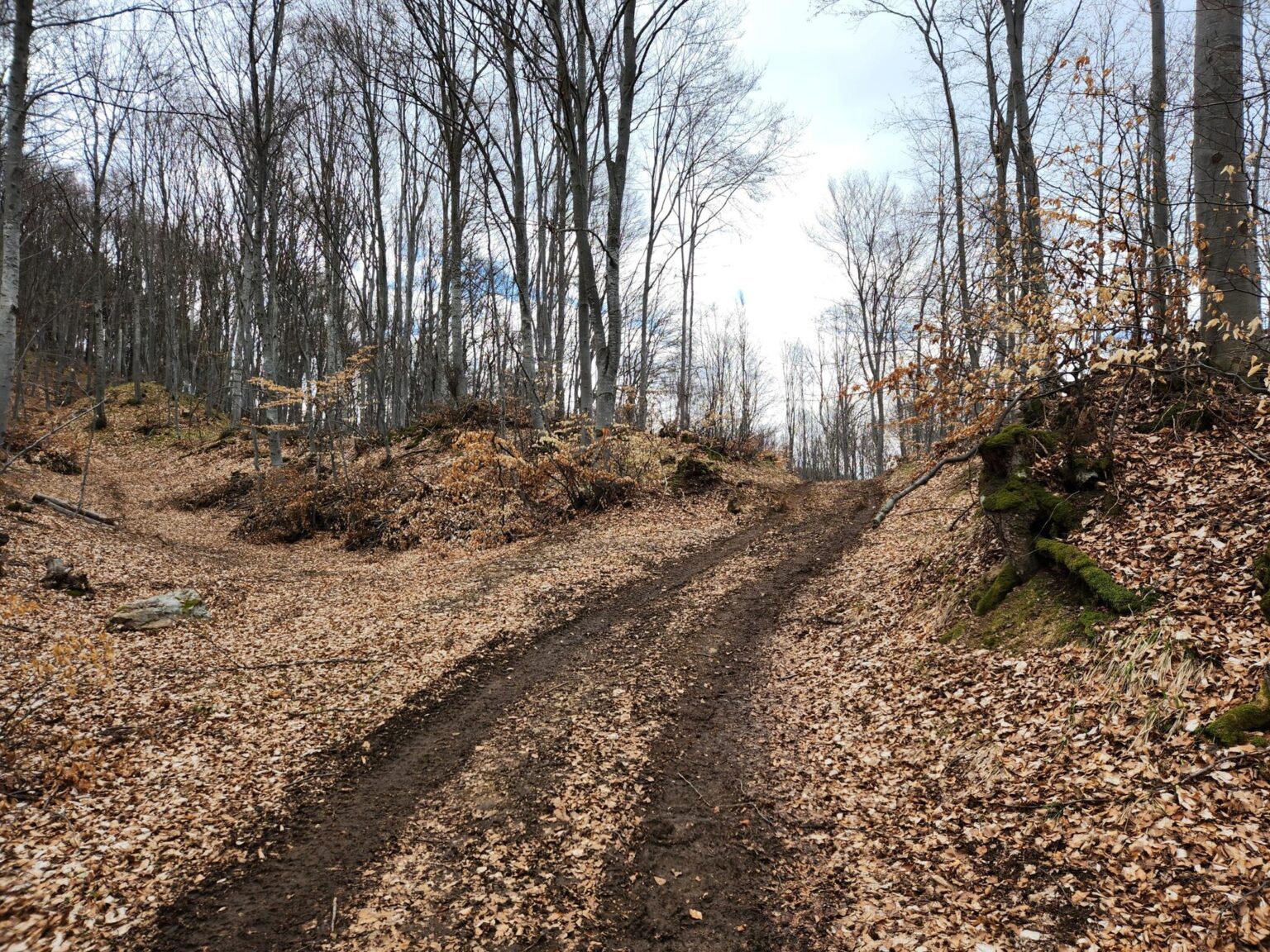
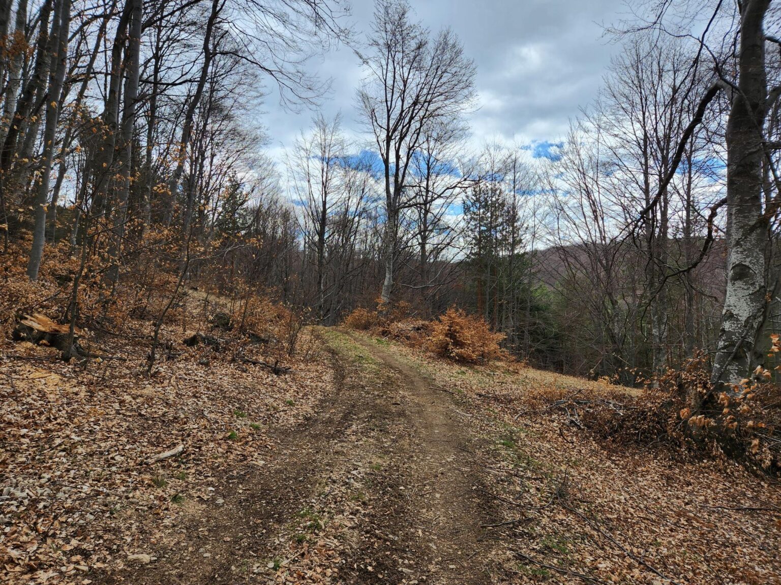
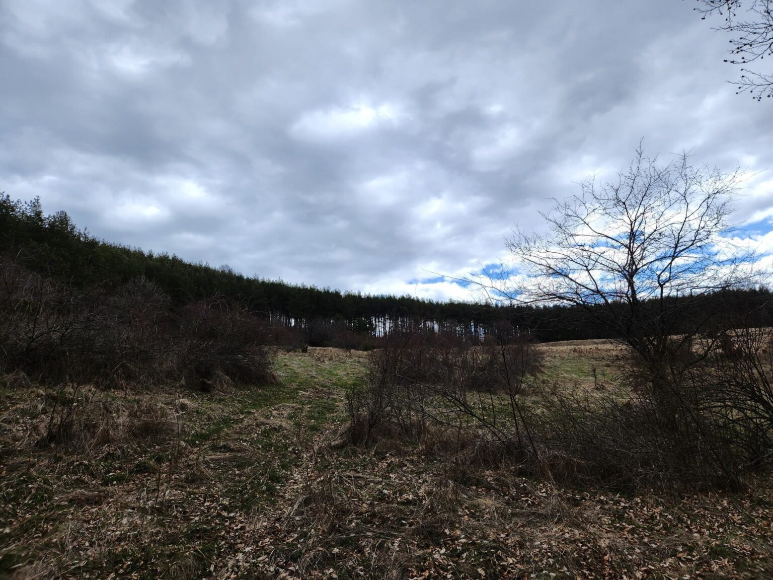
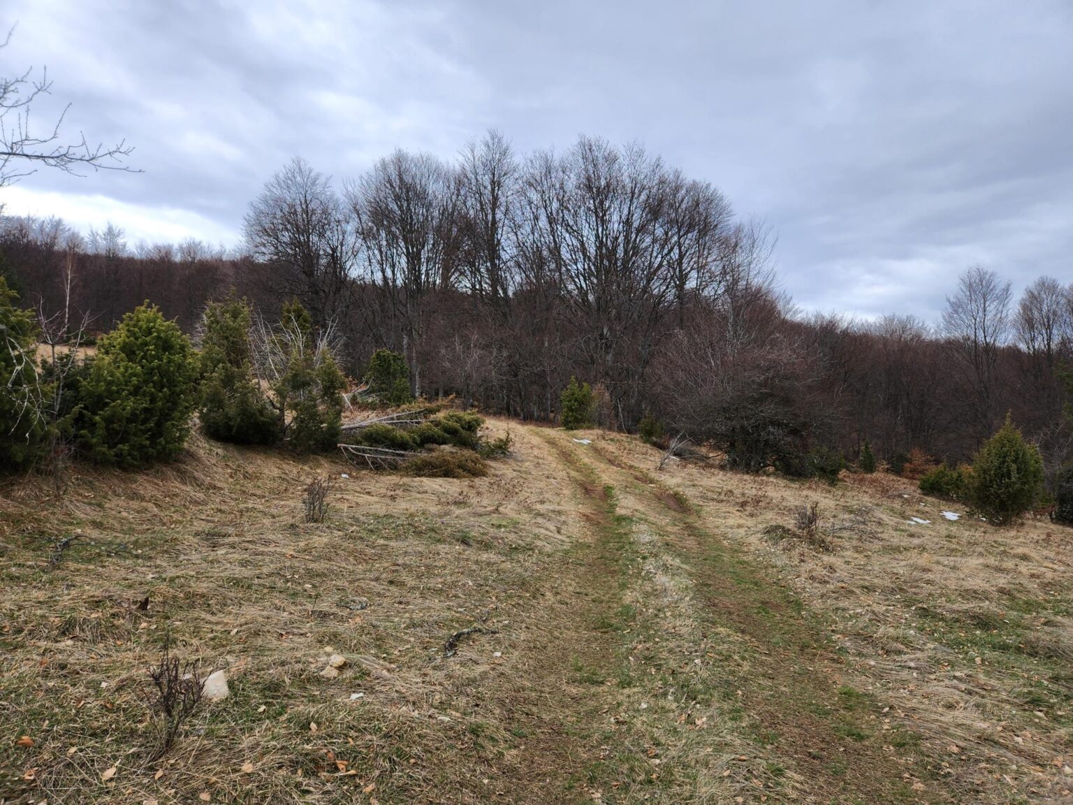
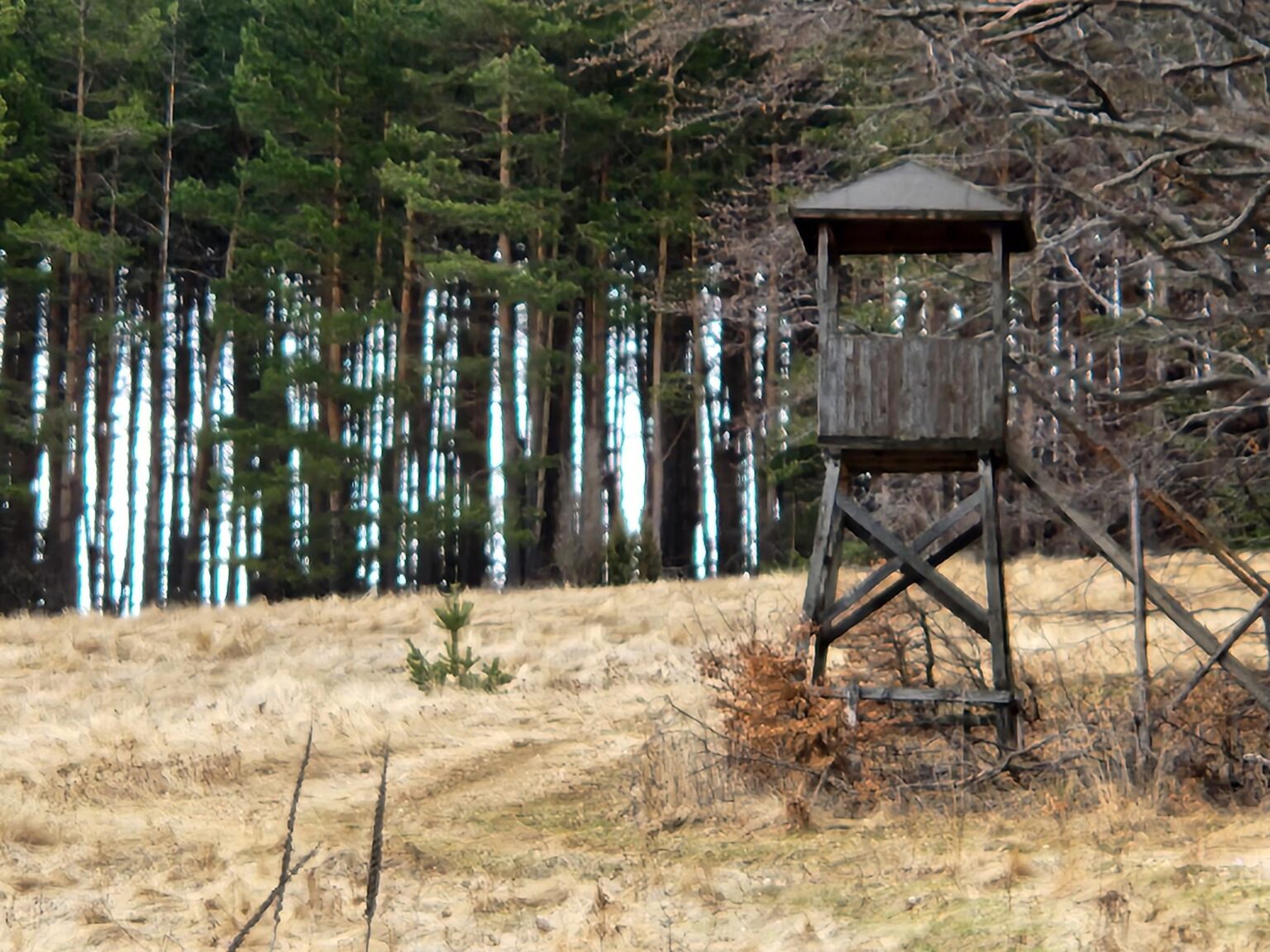
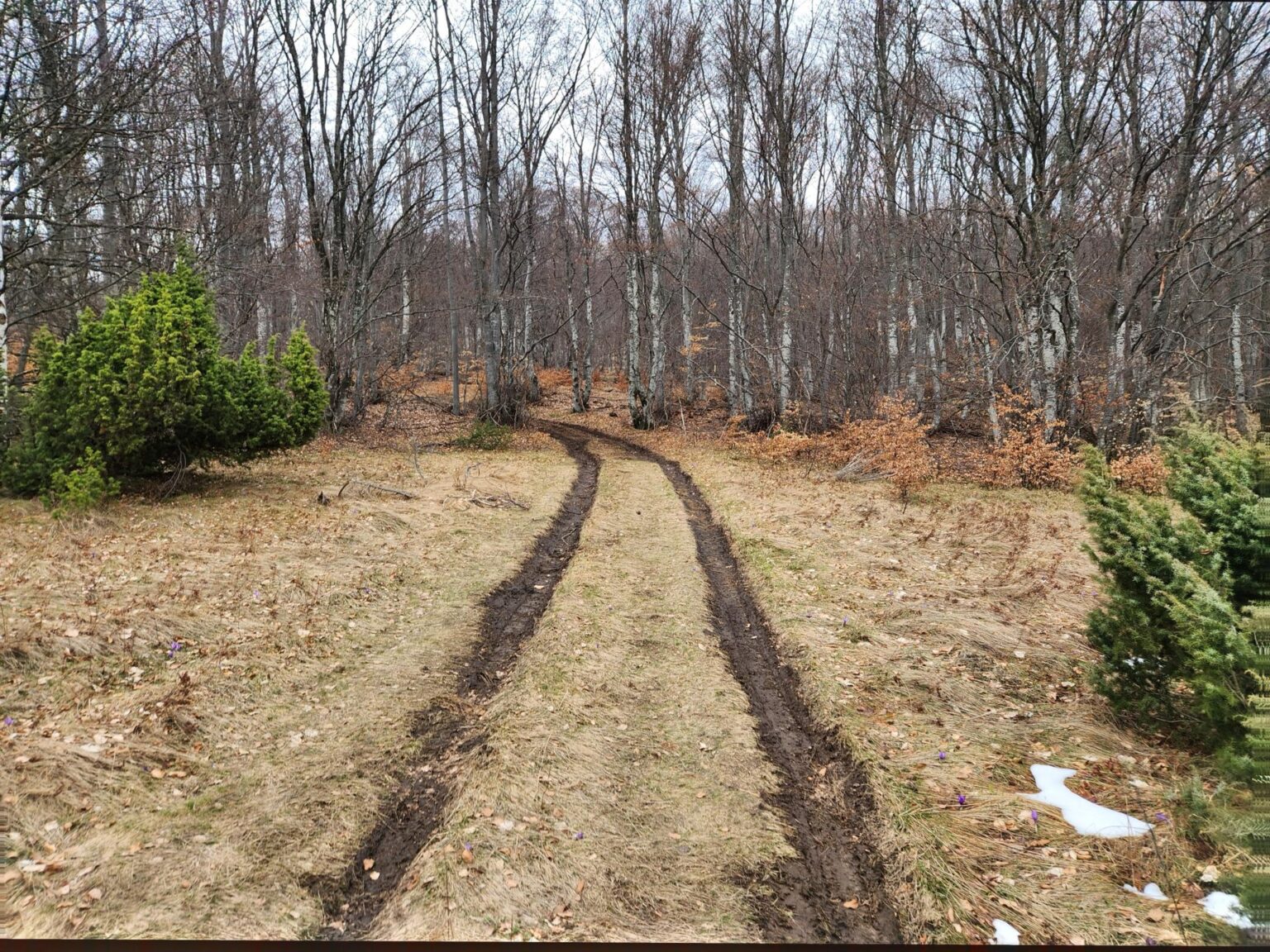
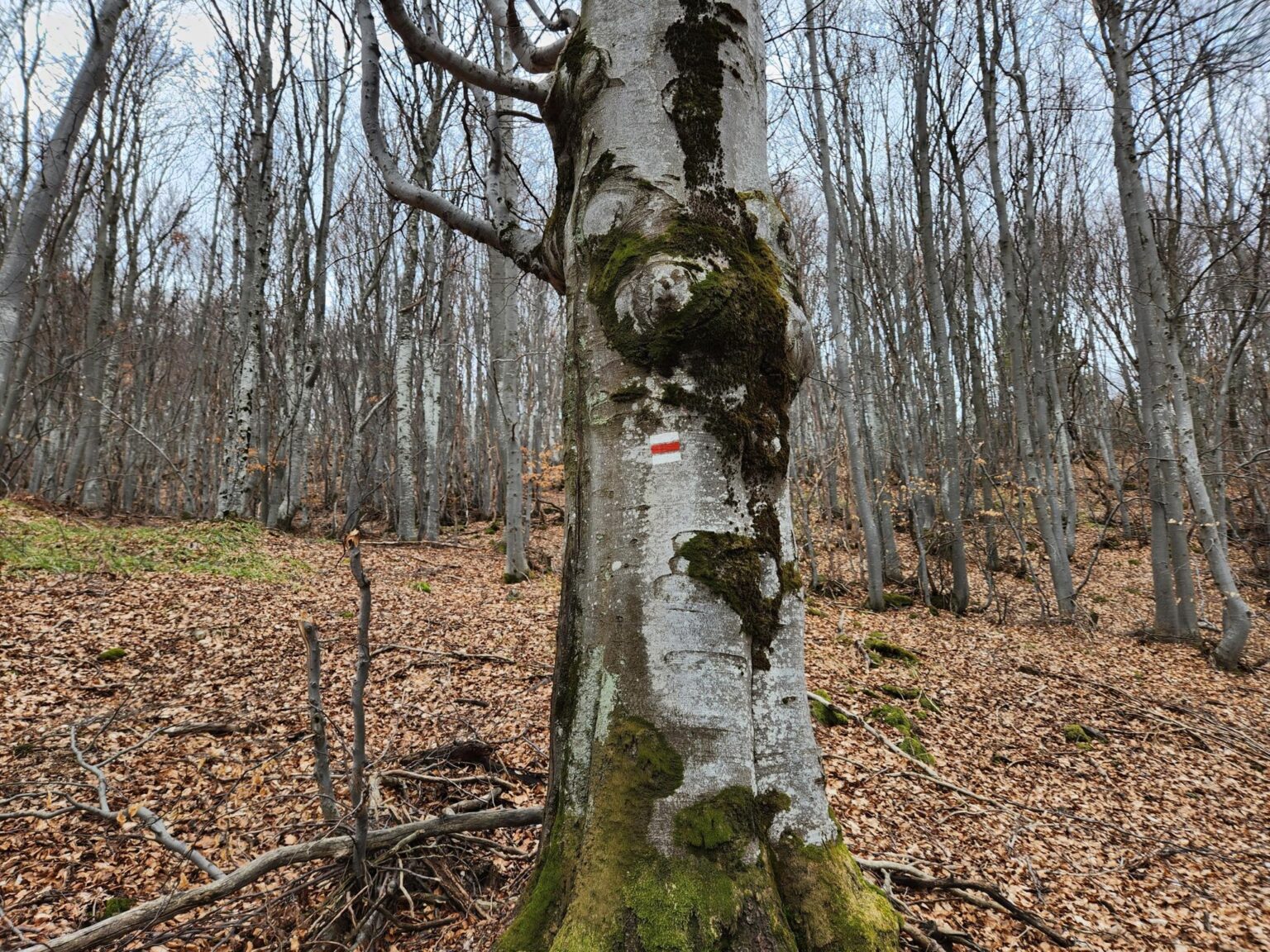
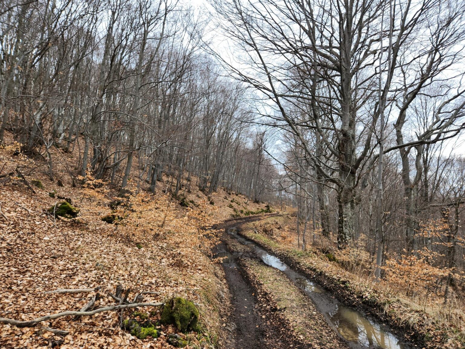
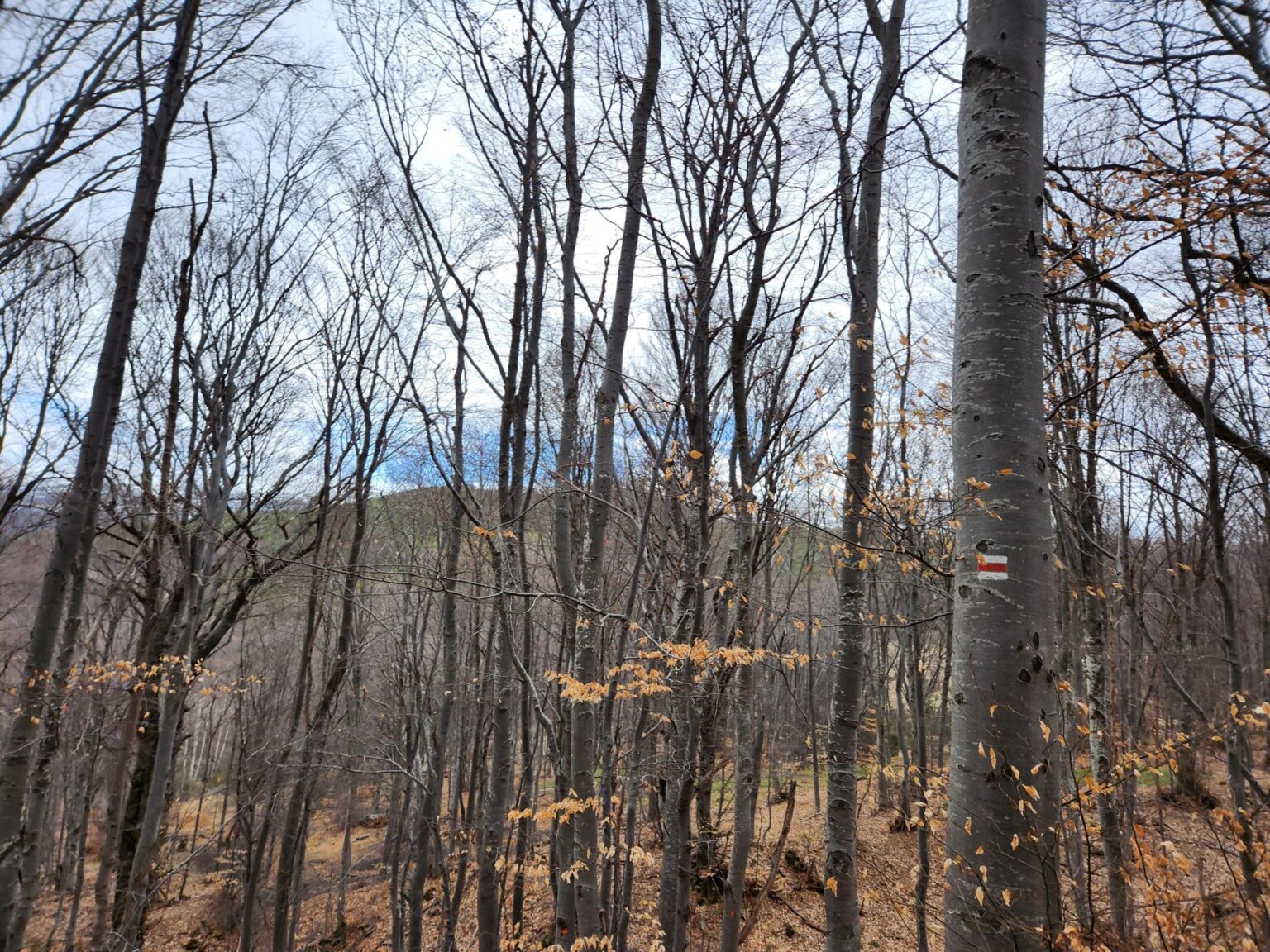
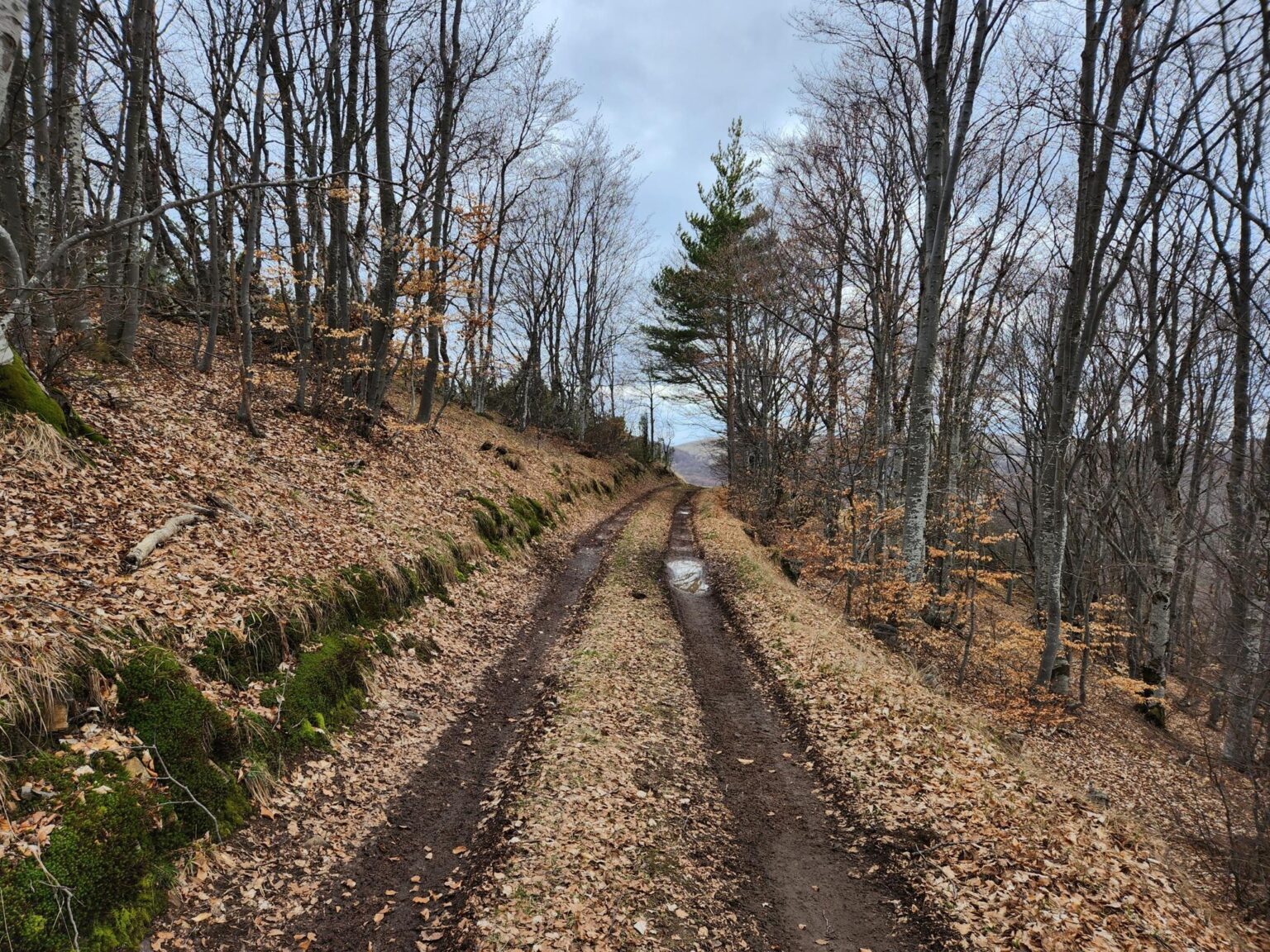
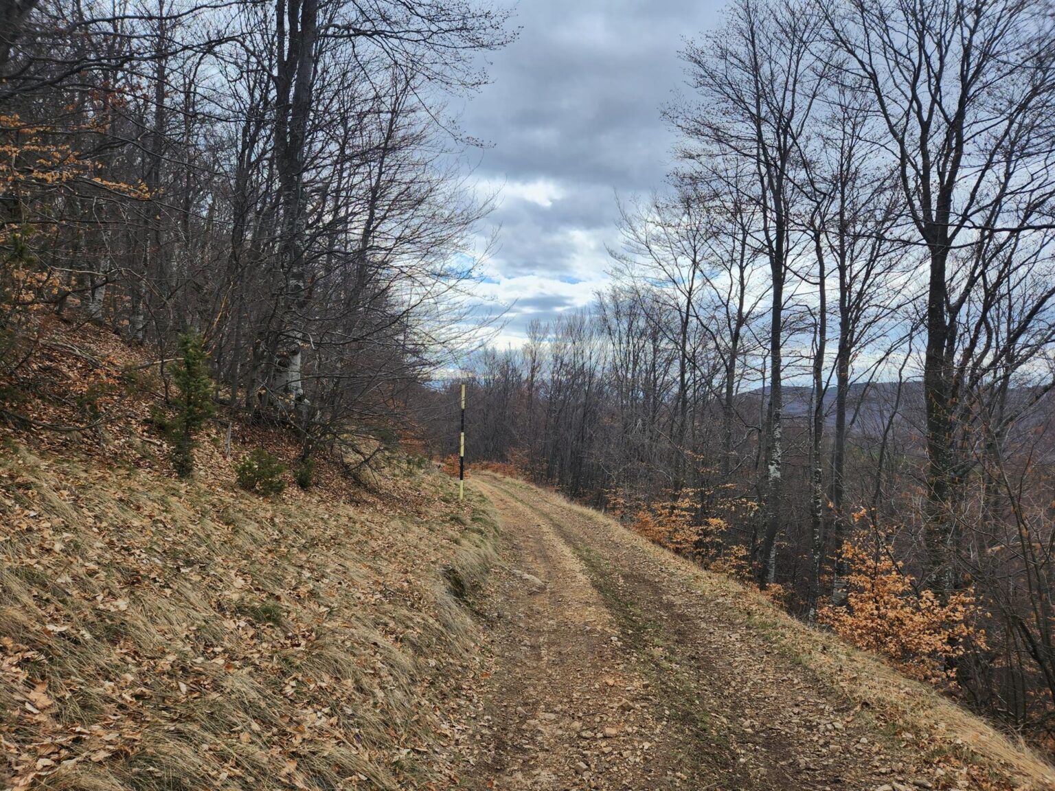
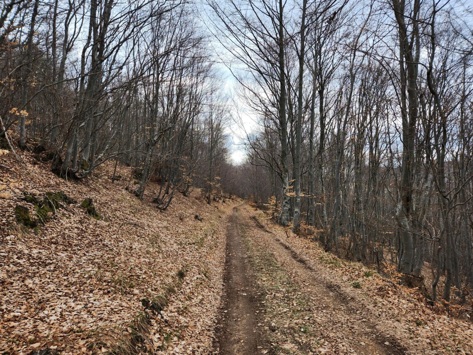
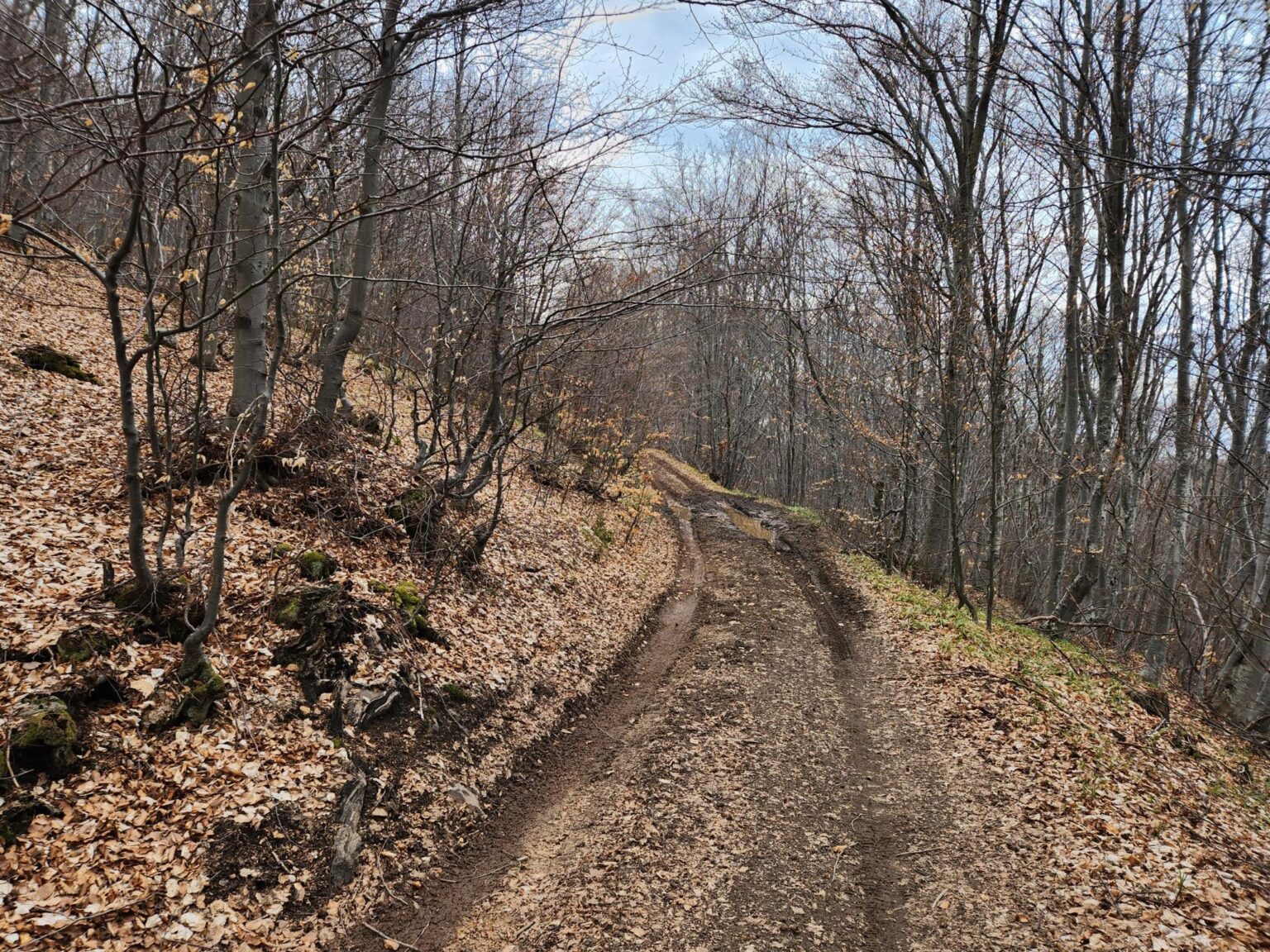
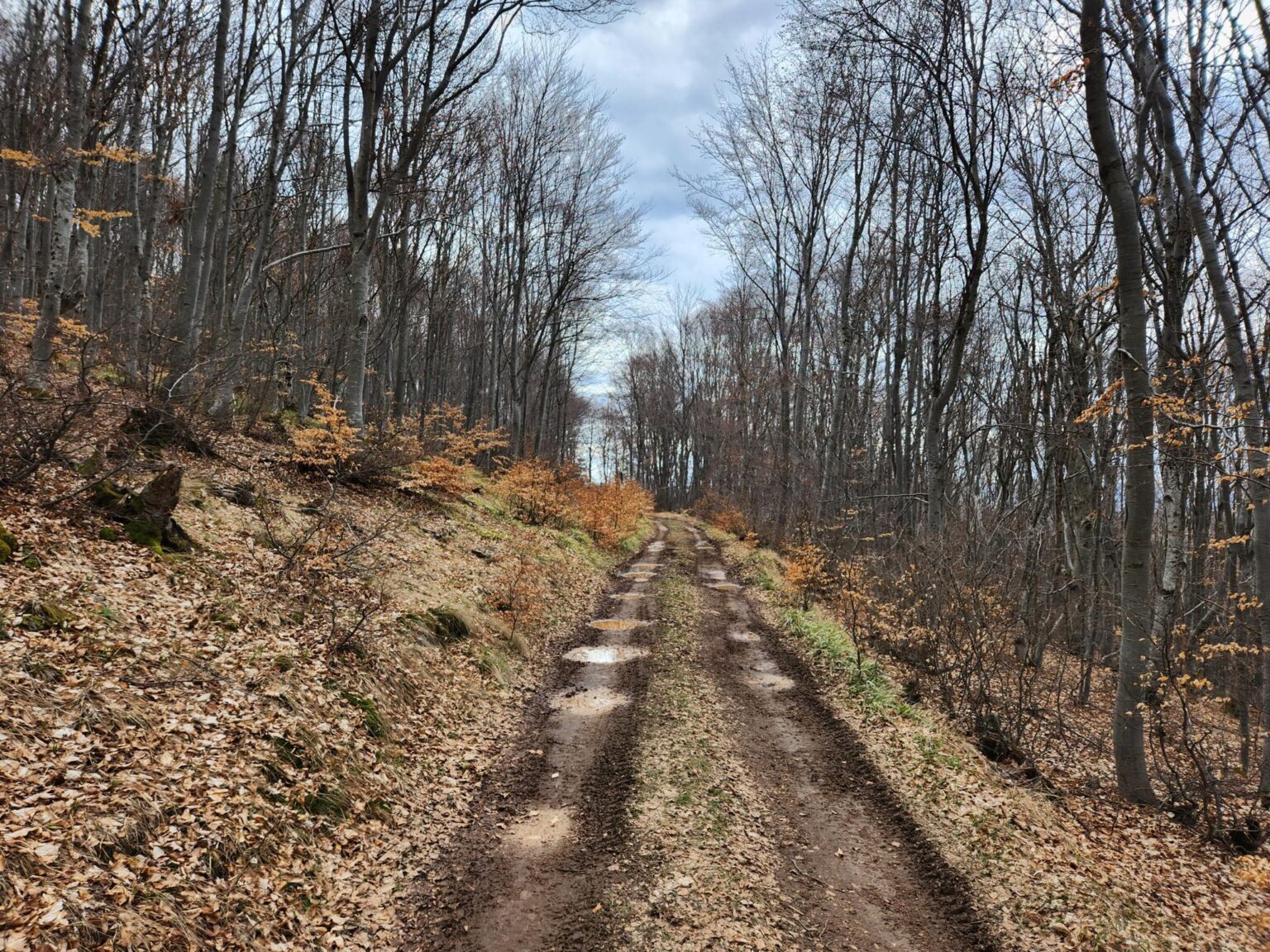
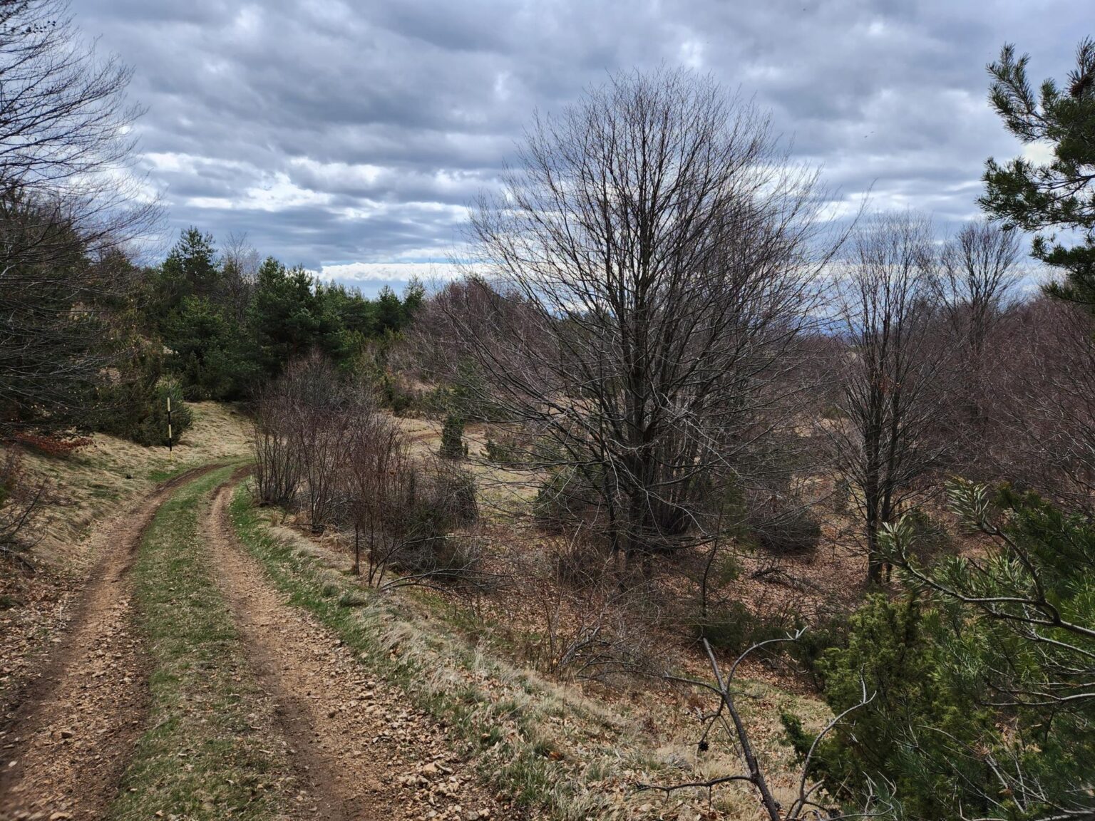
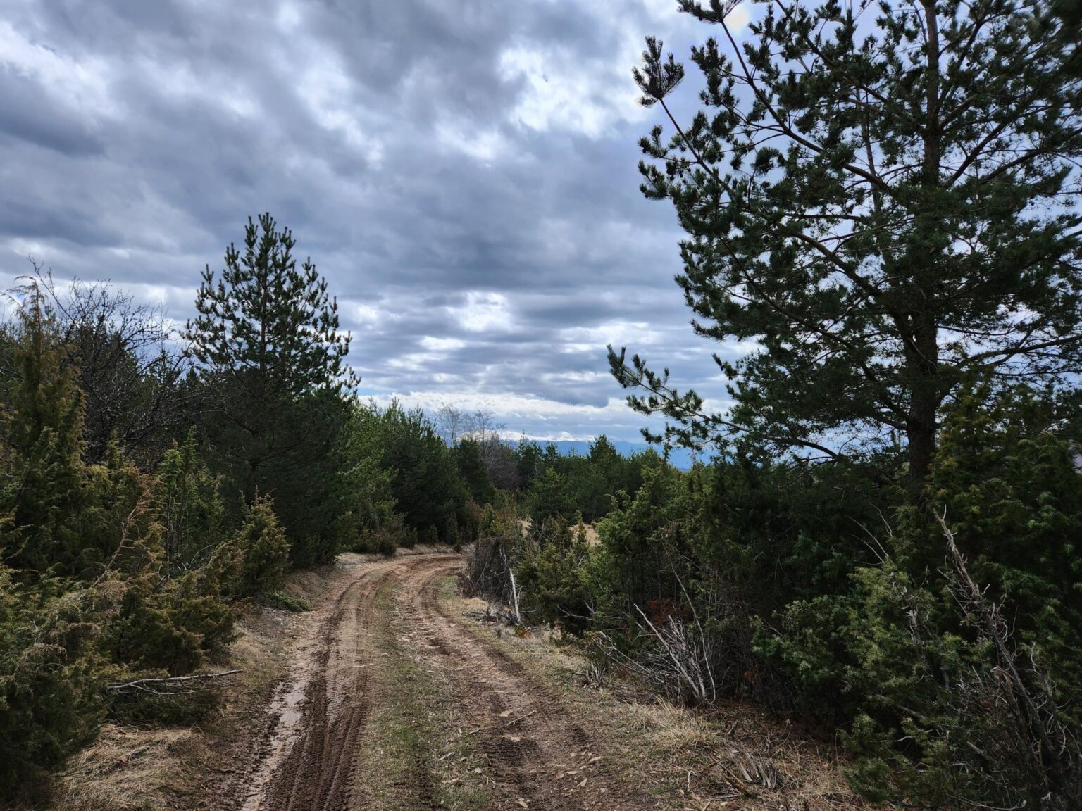
You walk for about twenty minutes. Some 150–200 metres after the second little house, you have a choice between left and right. Go right, following white-red-white. It feels like the natural way anyway, since the other option would mean almost doubling back. Another 5 minutes of walking and the climb starts paying off.
A view of Rila and Vitosha
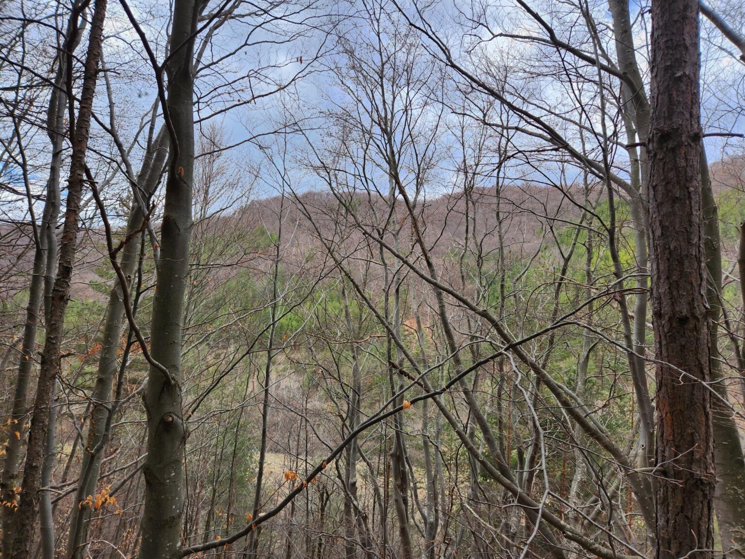
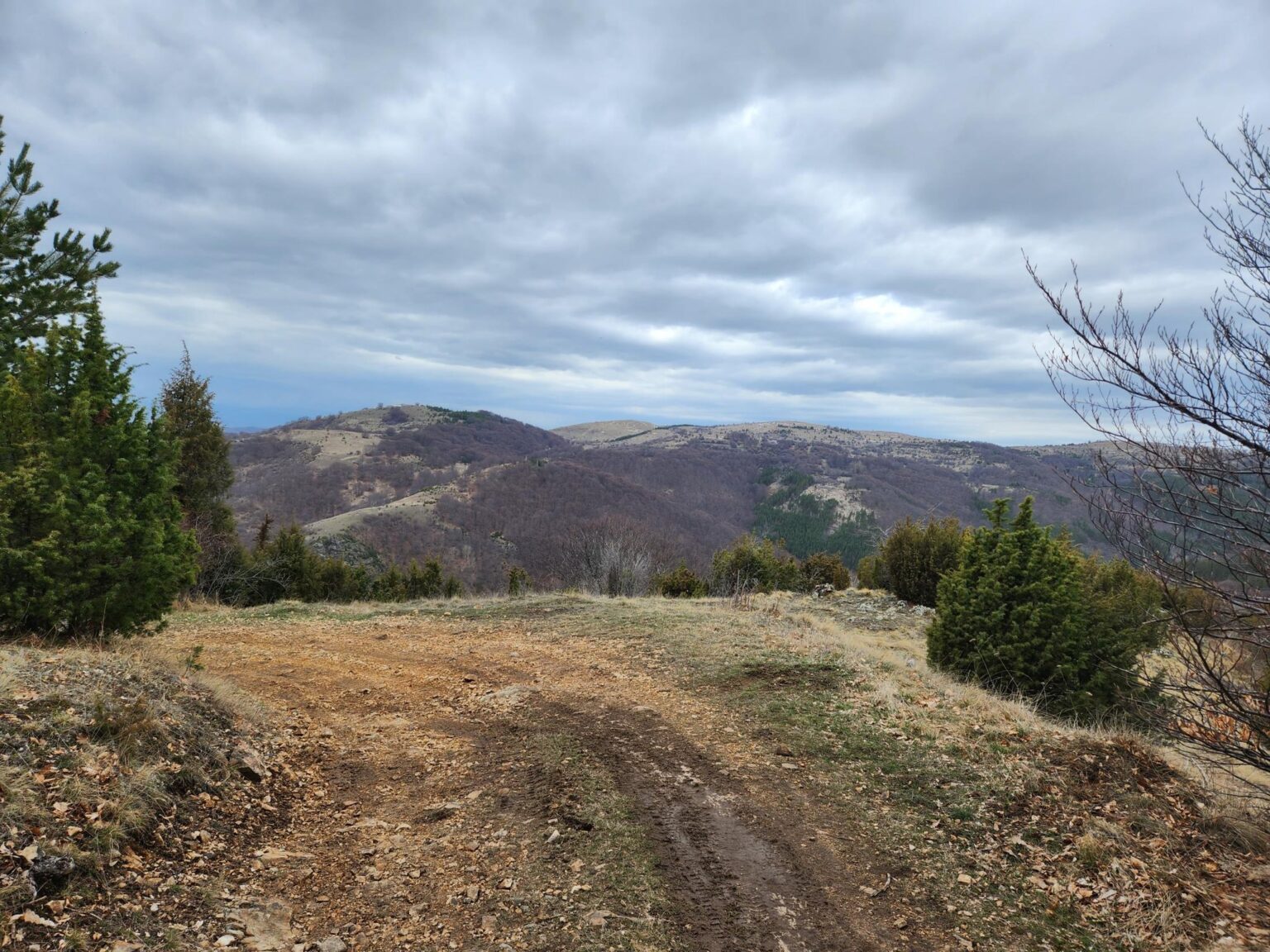
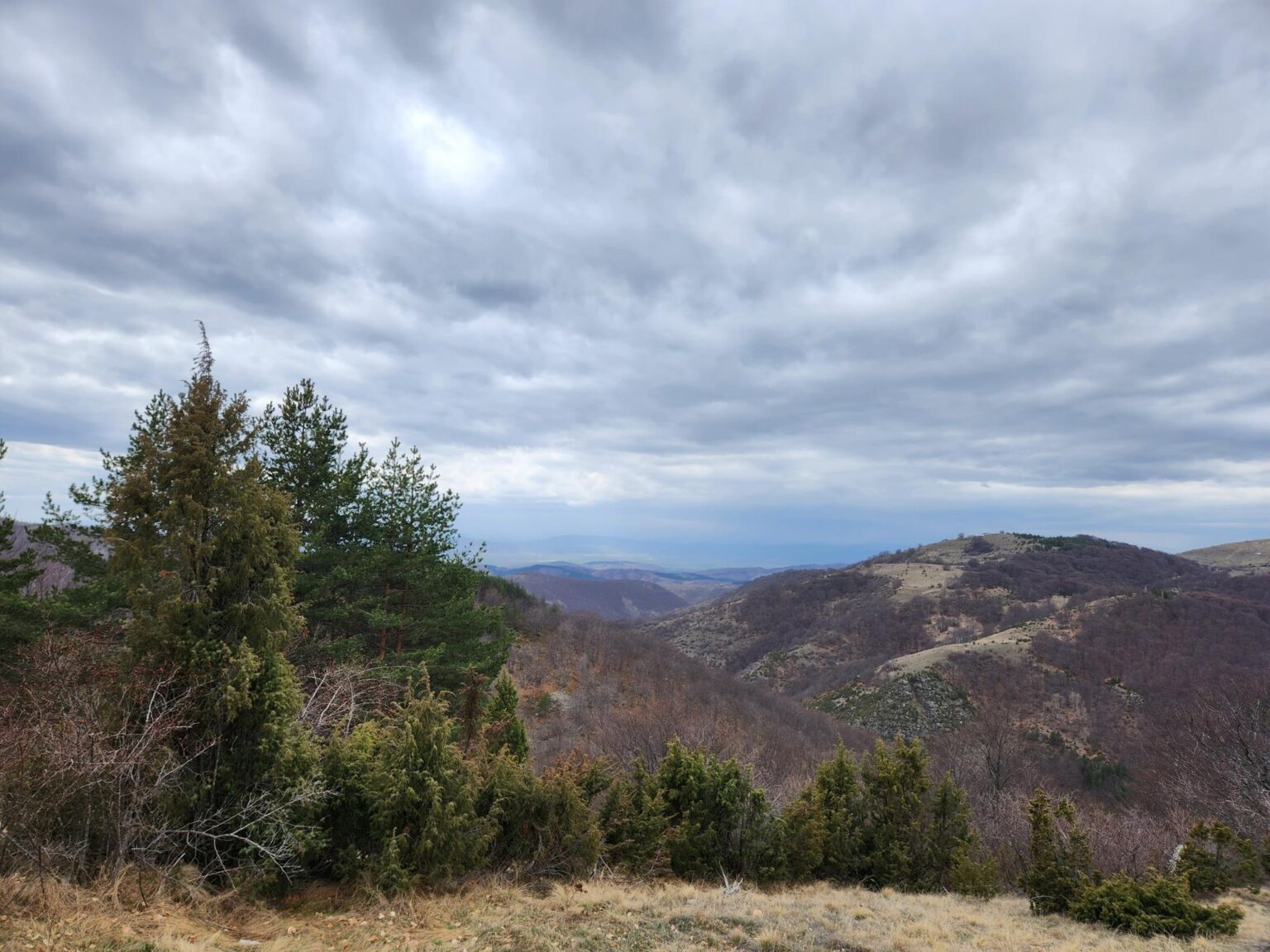
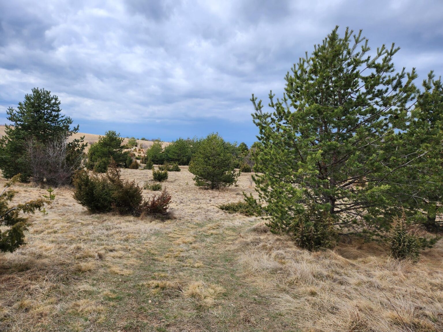
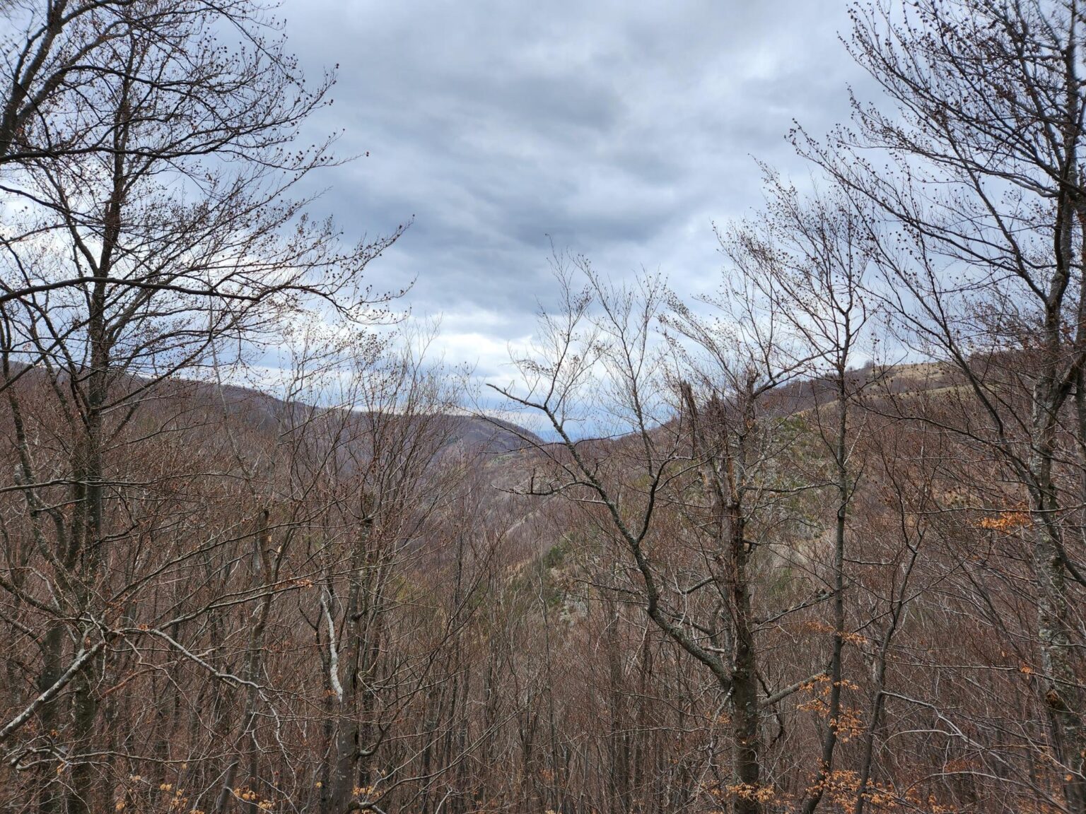
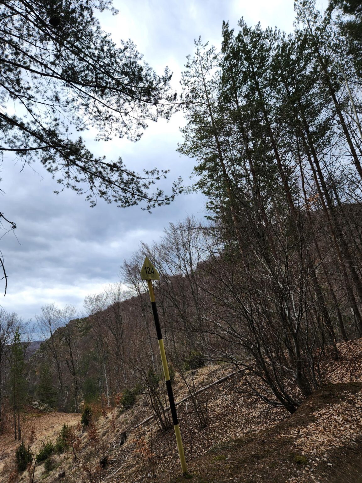
Nature knows its business and has prepared a panoramic viewpoint for us, one that looks as if a person had designed it. This is where the postcard photos are!
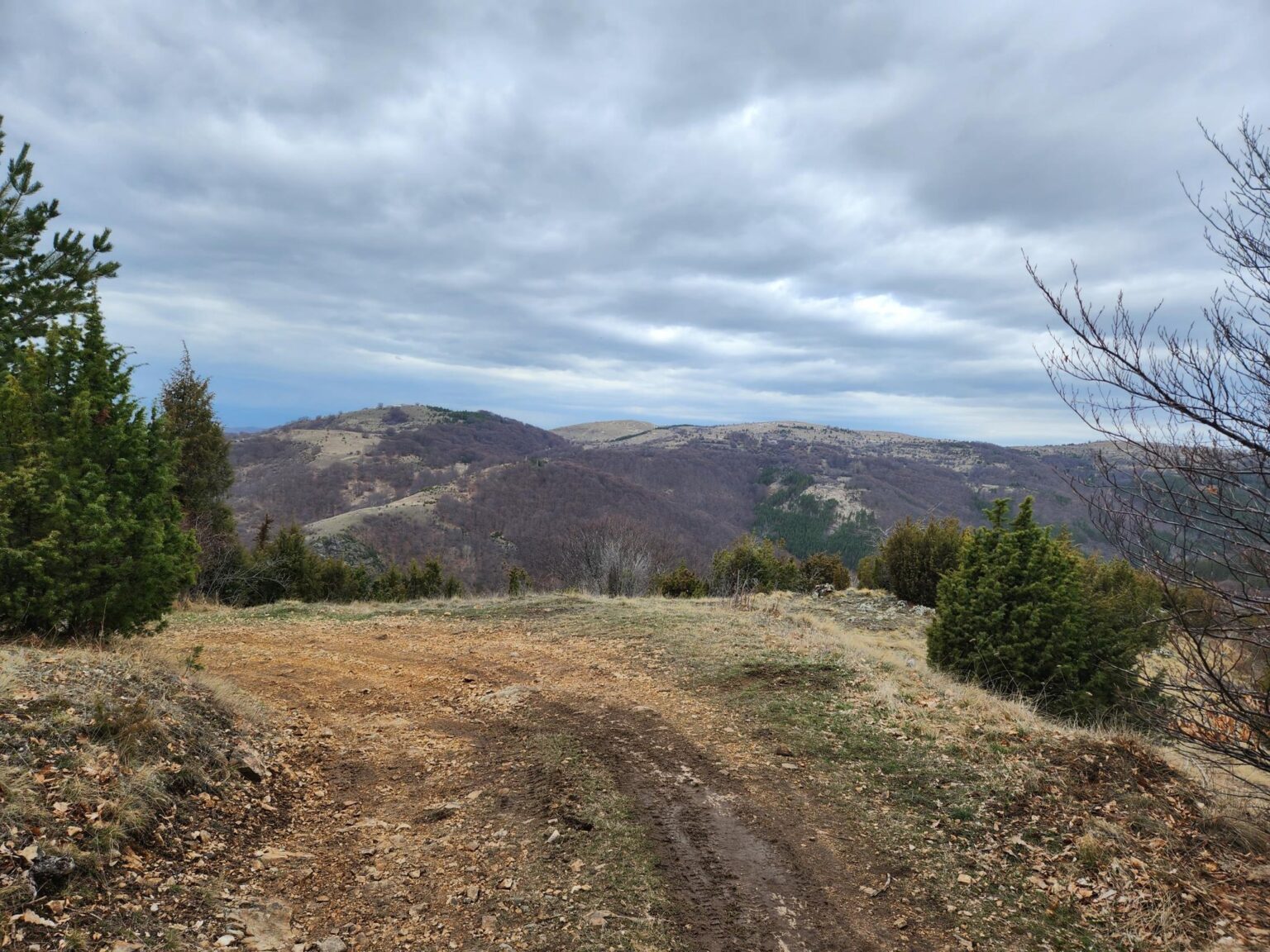
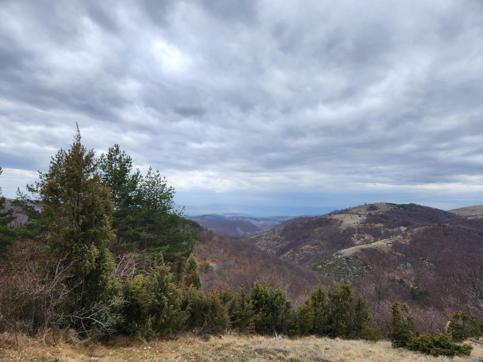
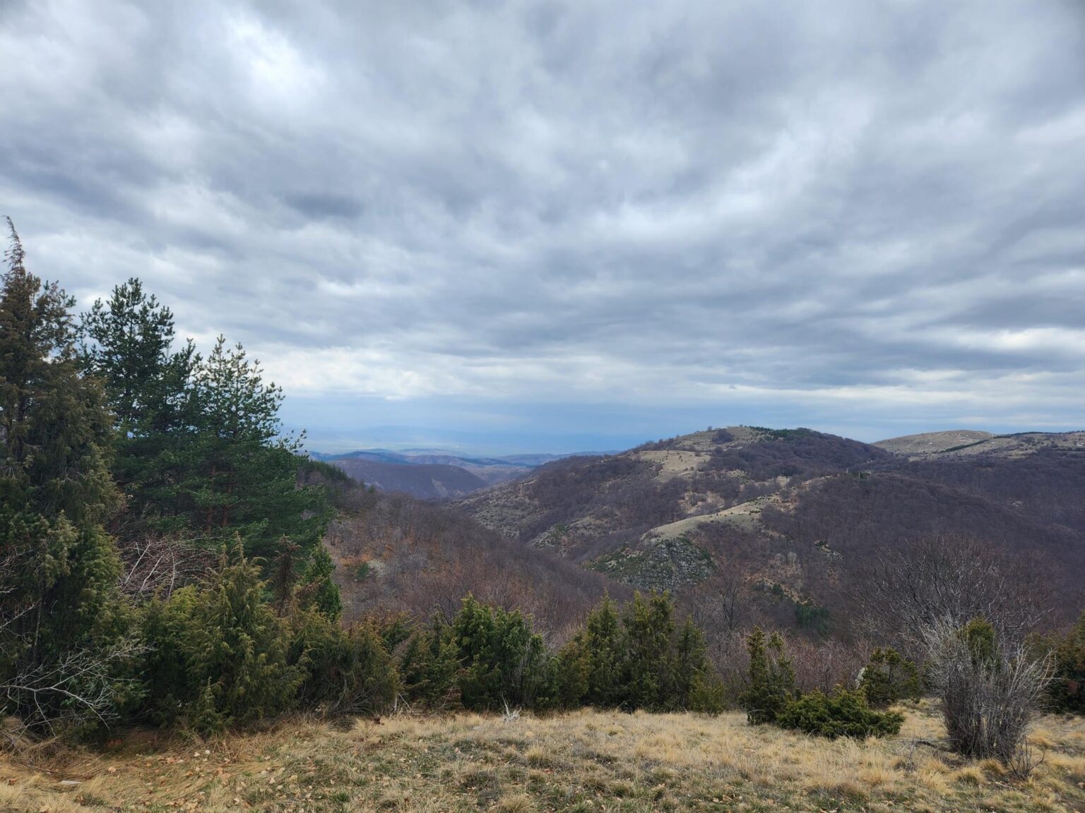
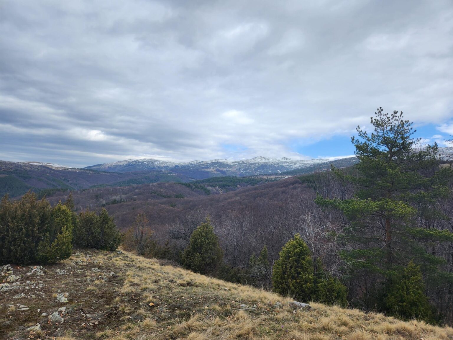
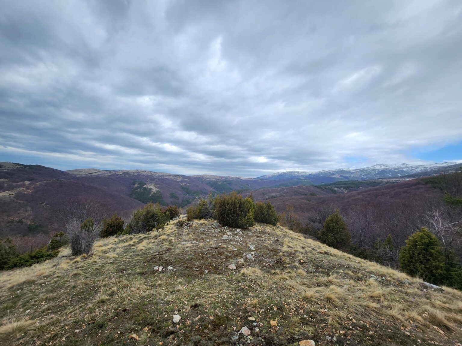
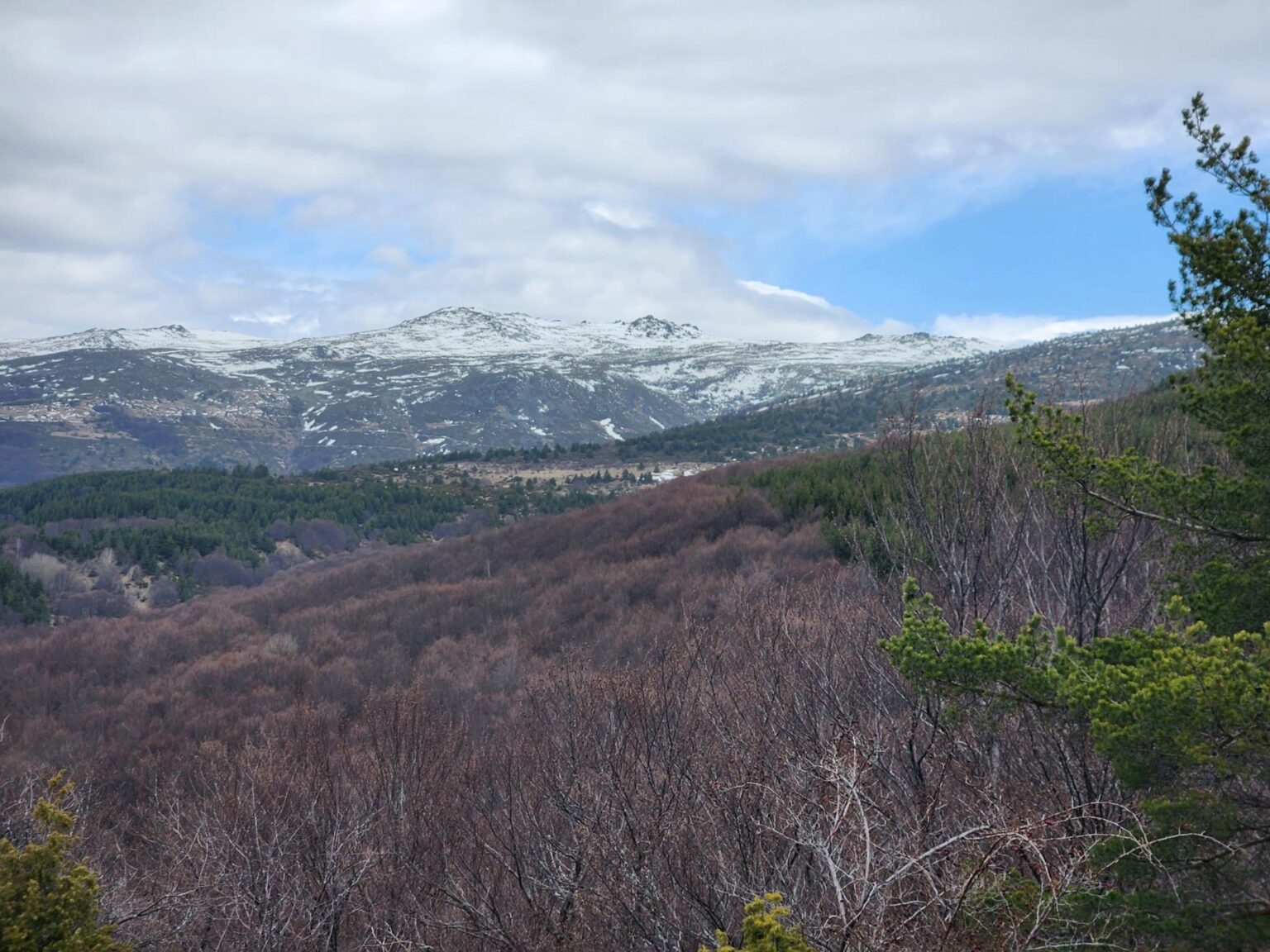
And why not enjoy the view for a moment, instead of just posing for photos? Especially since I’ve taken care of you with a short clip as well. I hope it captures the grandeur and calm I went looking for that day.
Smilyo shelter
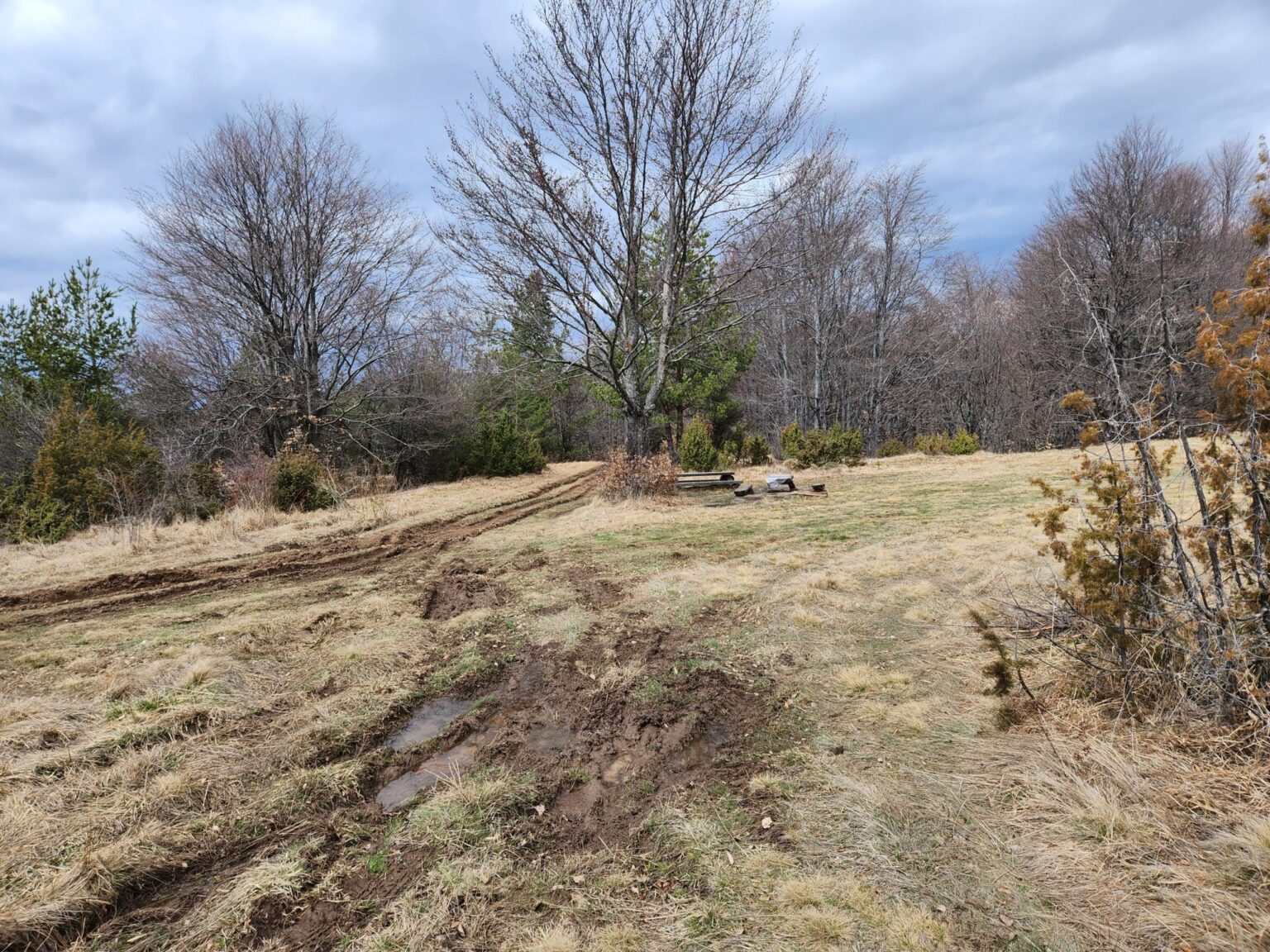
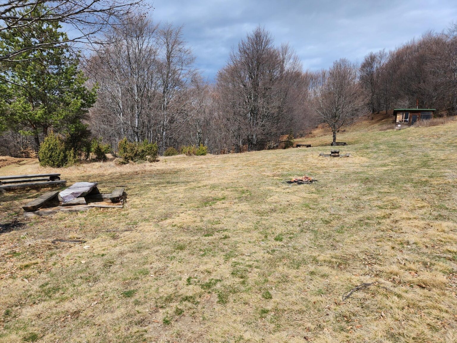
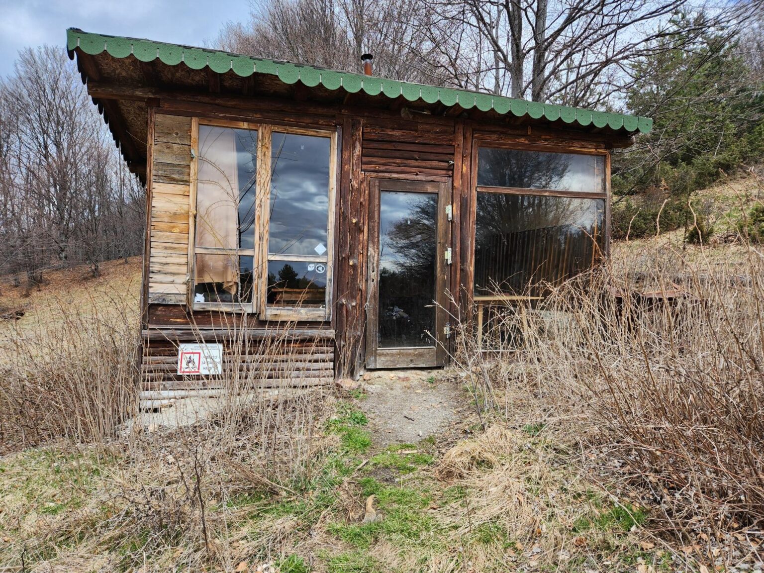
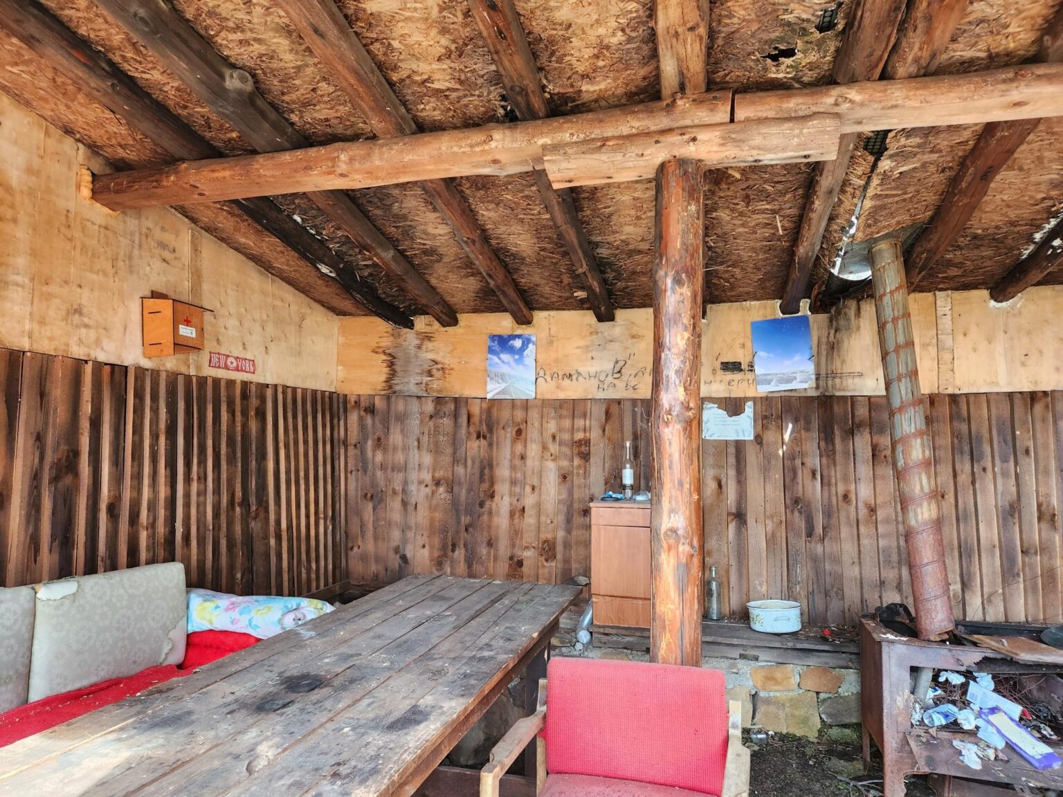
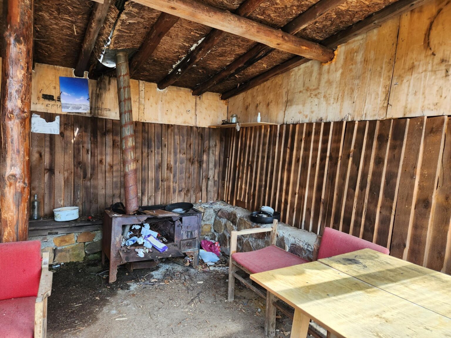
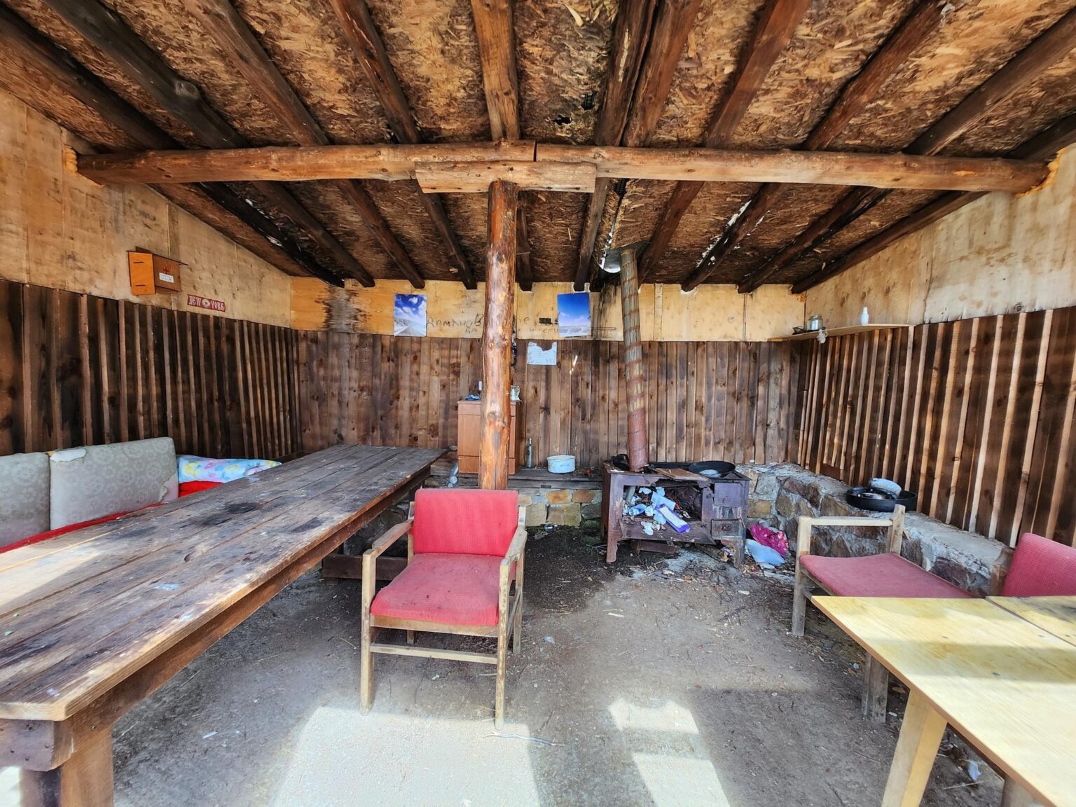
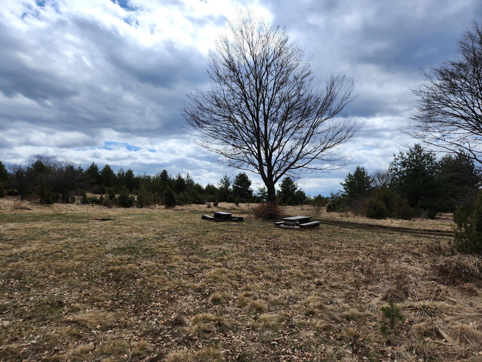
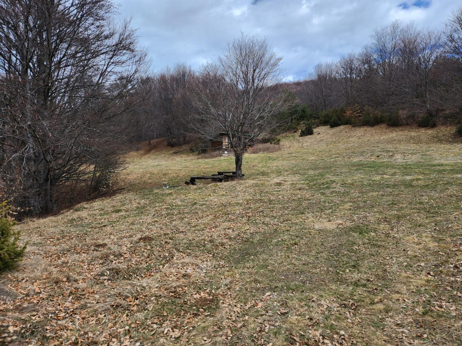
From that viewpoint, the shelter is less than ten minutes’ walk along the path. There are benches and a small hut, a little neglected and cosy at the same time. The place stirs up a strange but pleasant feeling.
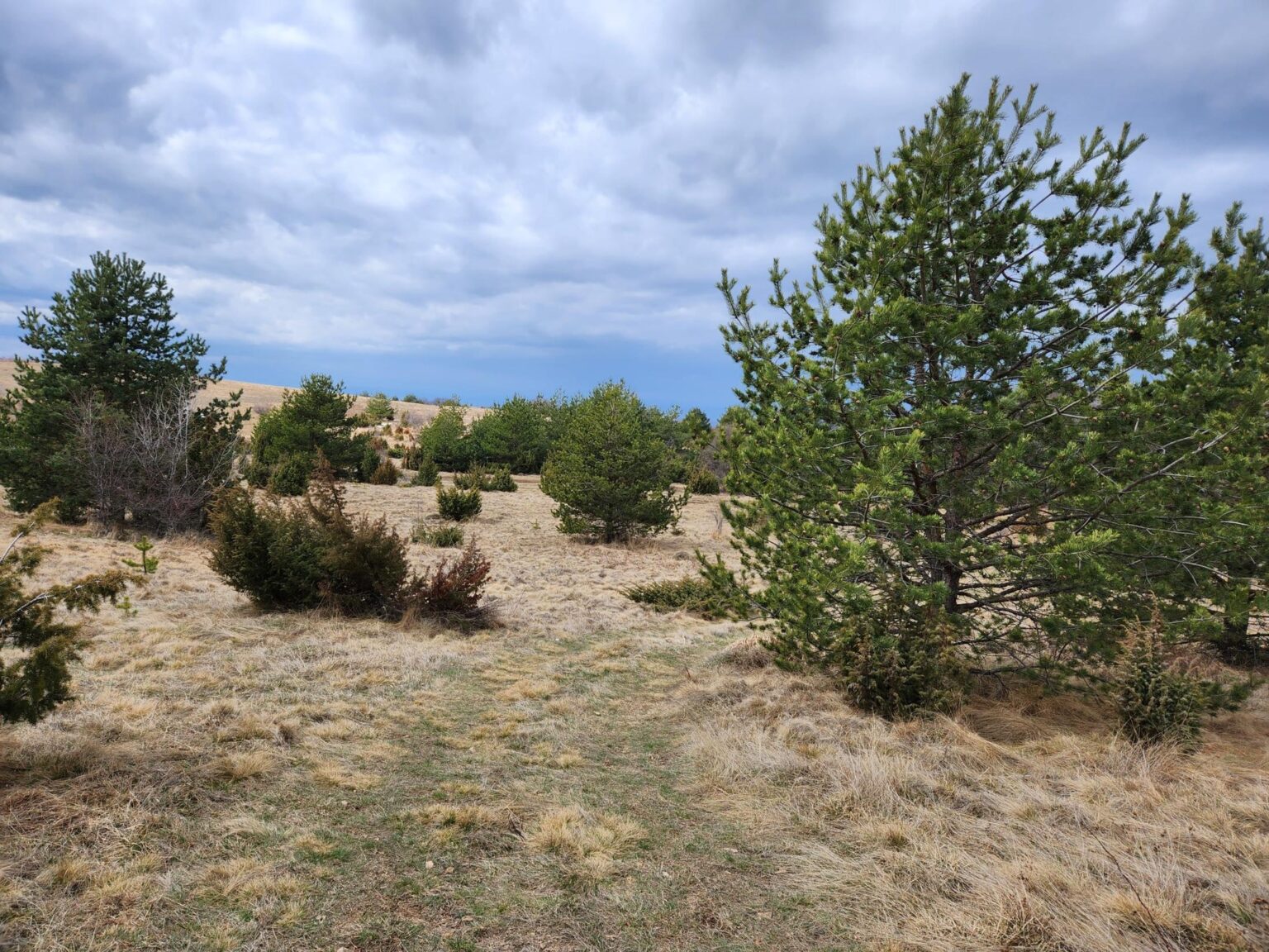
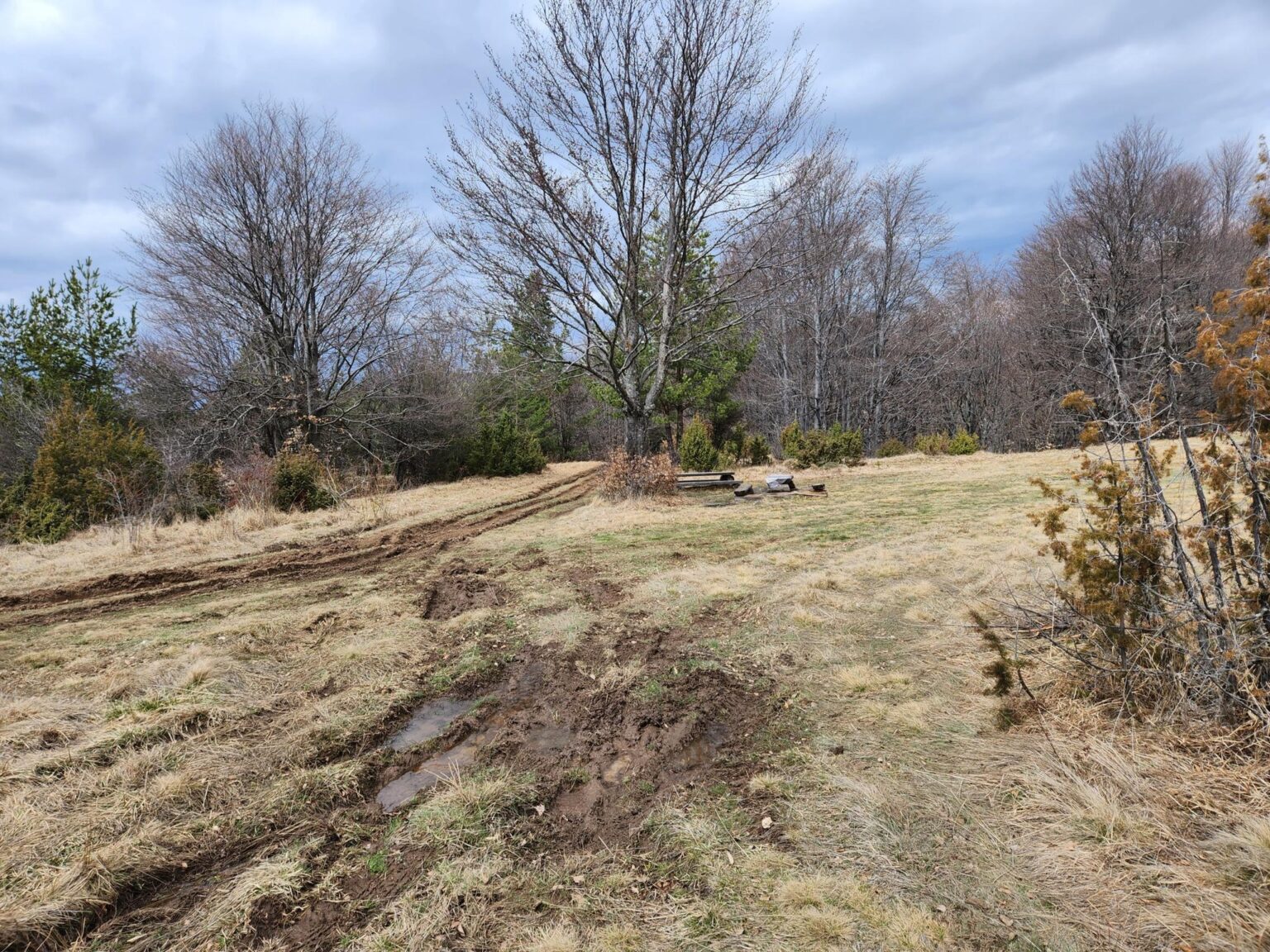
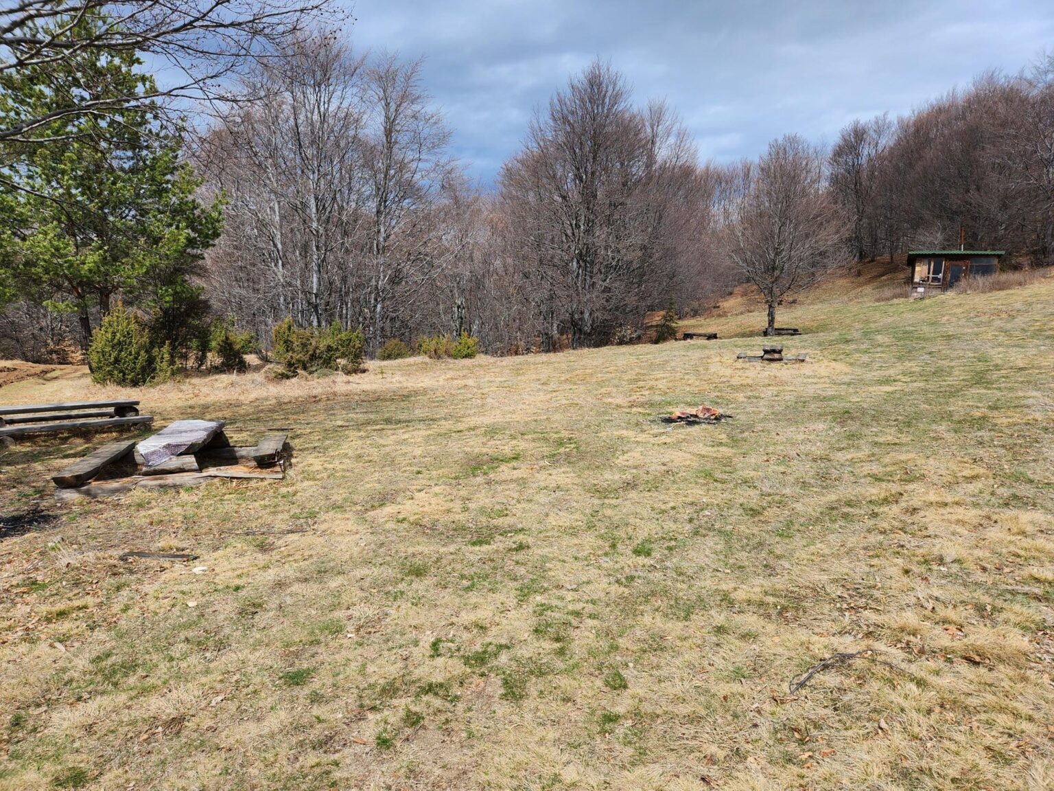
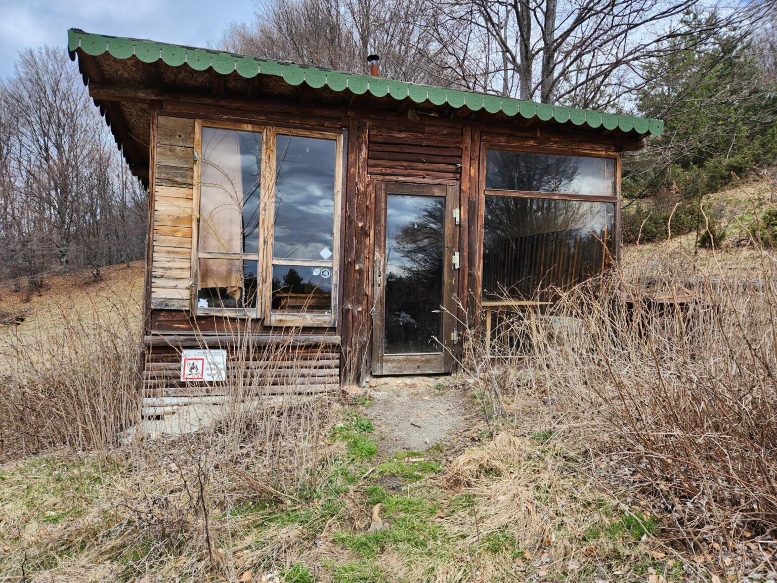
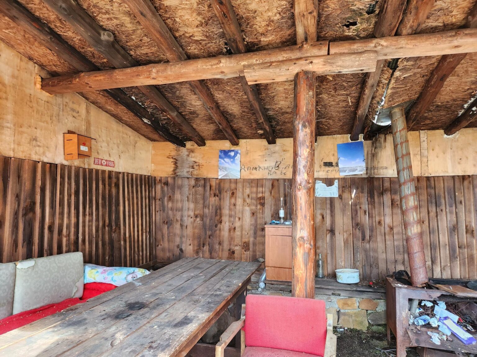
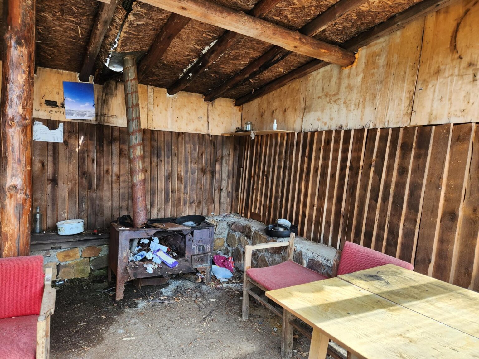
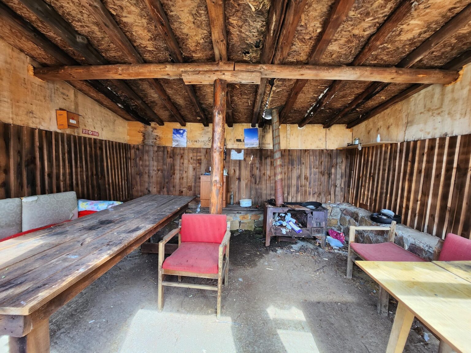
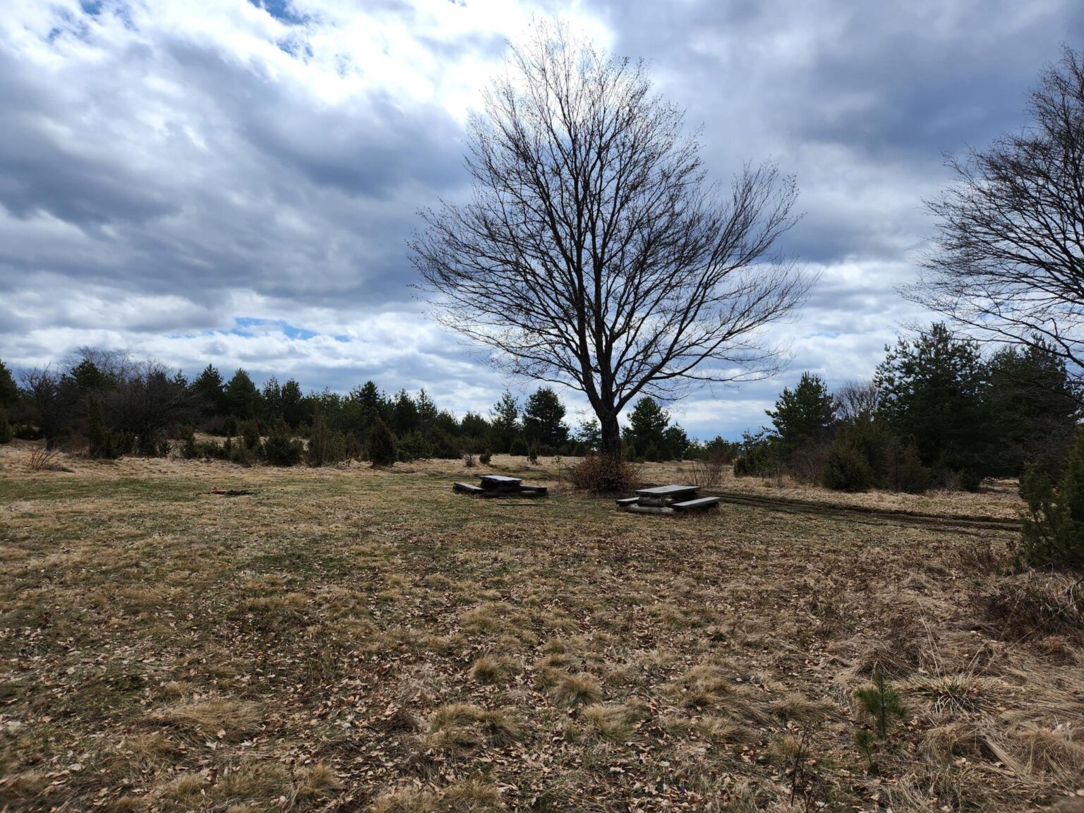
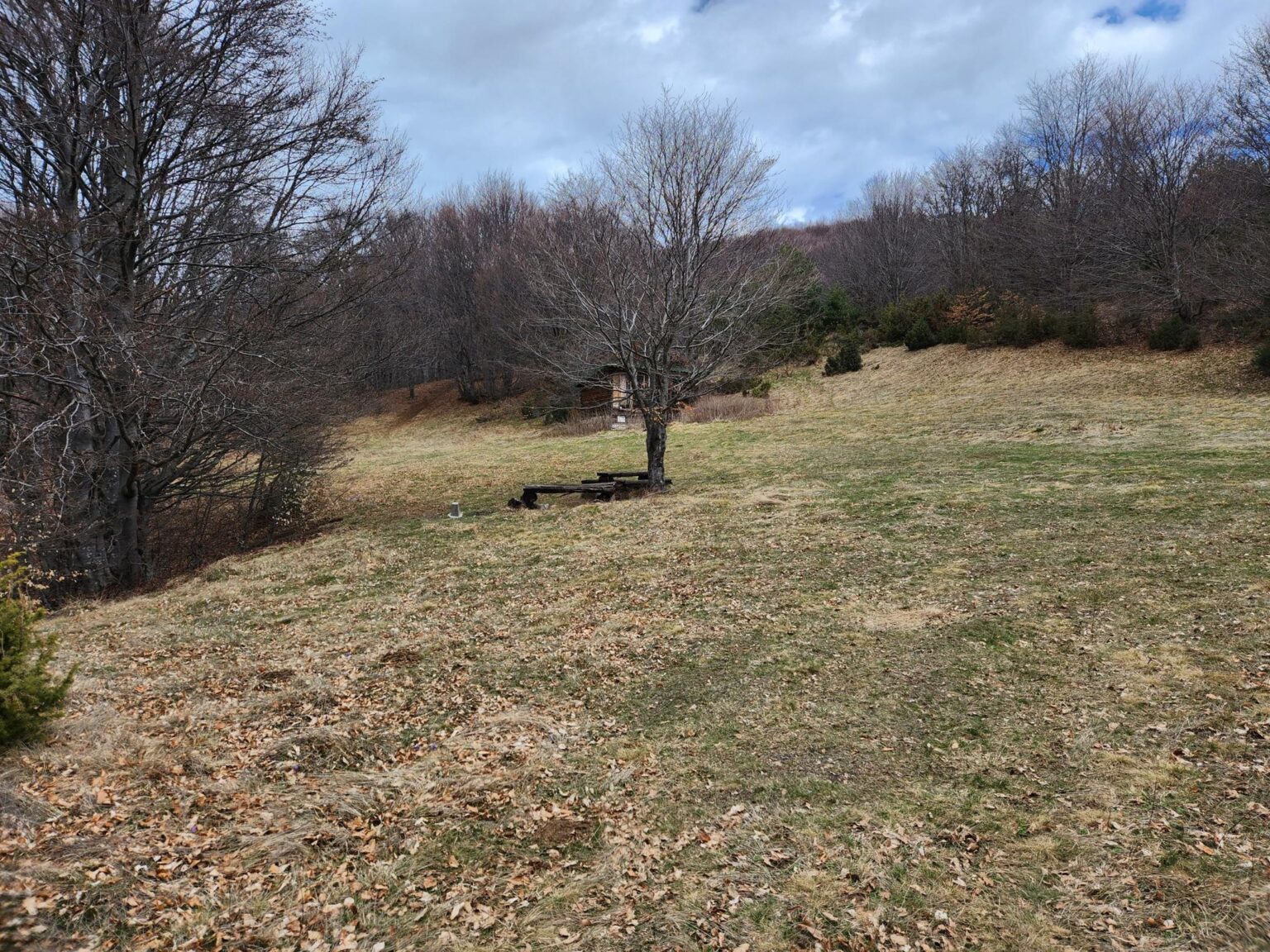
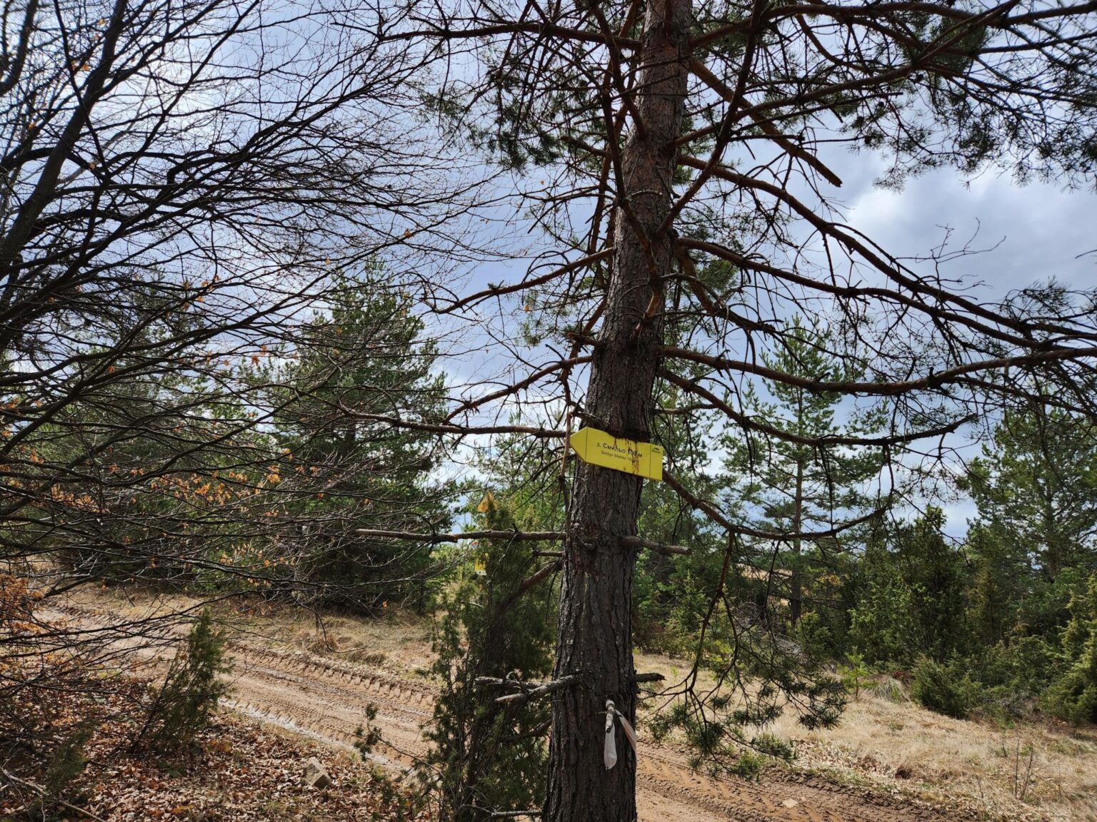
Walk about 150 metres past the shelter, away from Chuypetlovo, and a lovely view opens up towards snow-capped Rila. The climb is done. With a sense of mission accomplished, it’s time to head back.
The way back
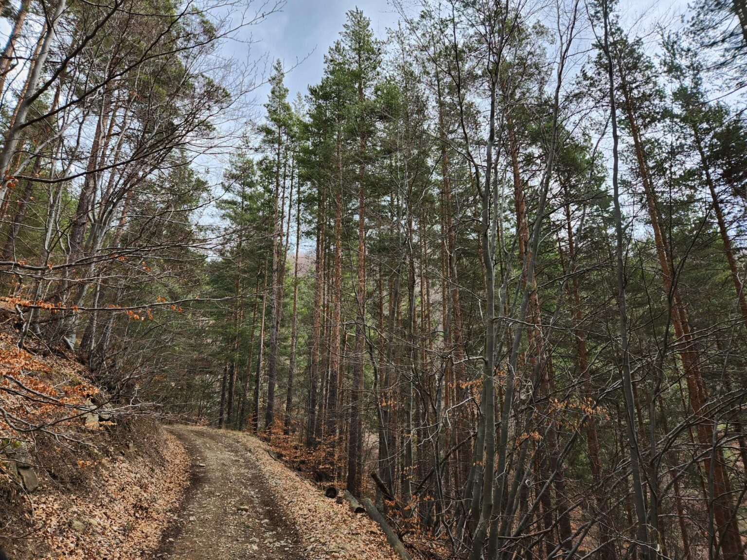
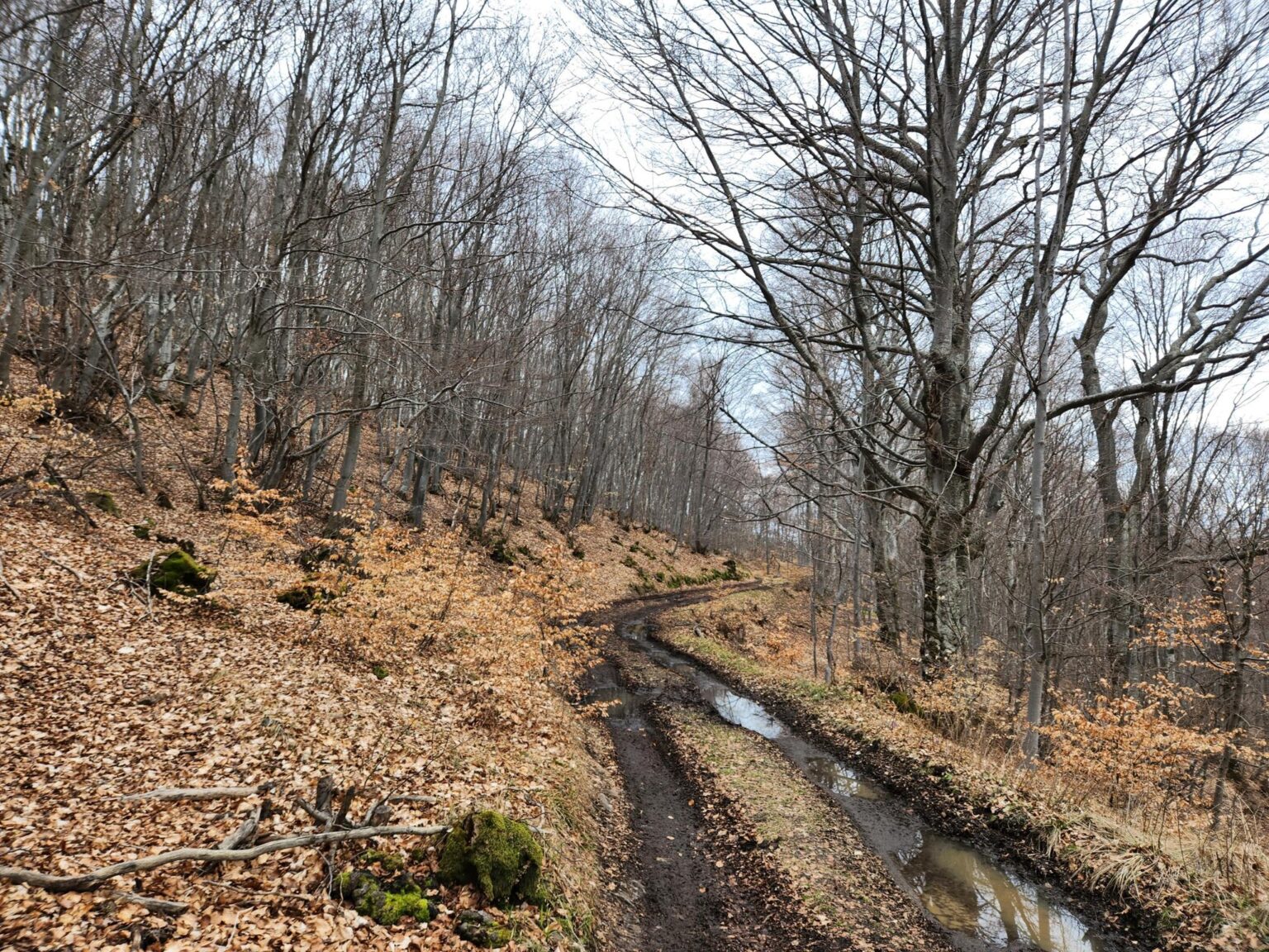
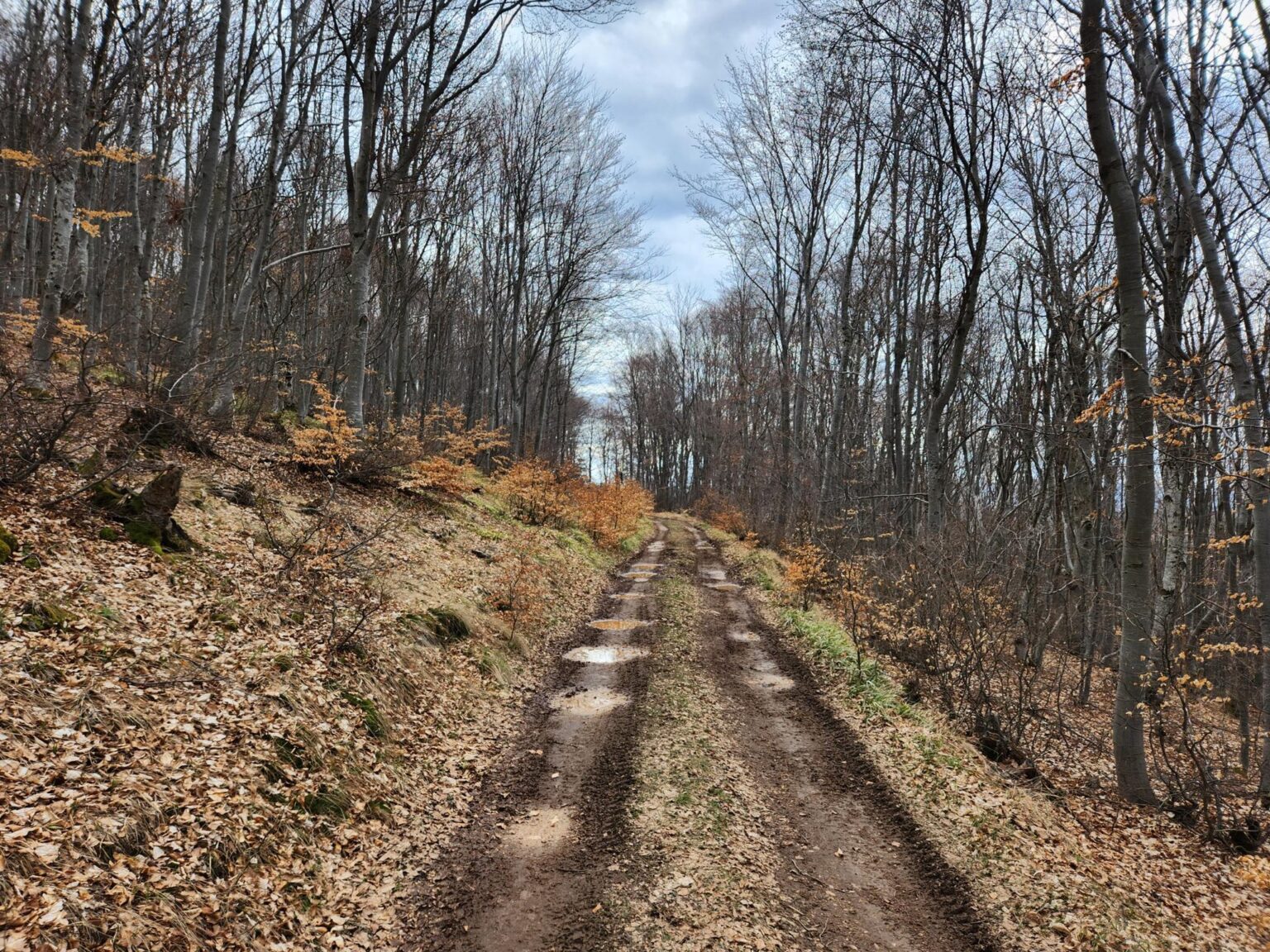
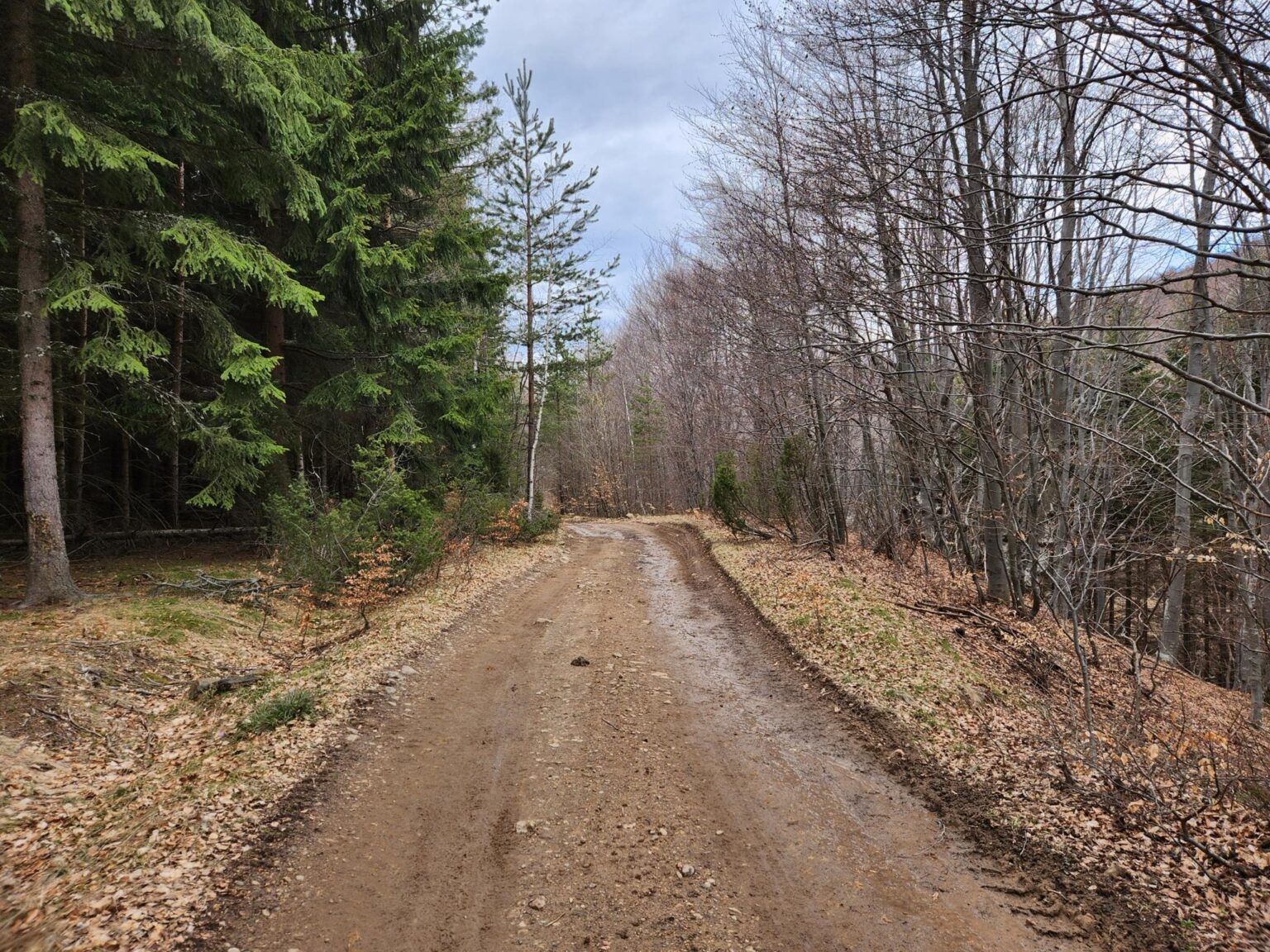
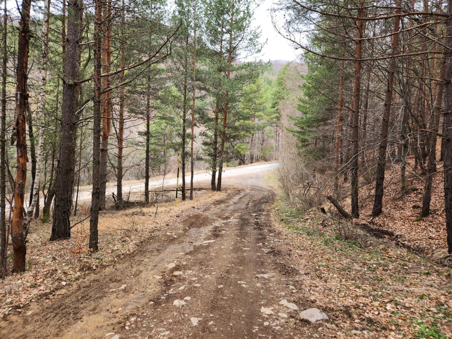
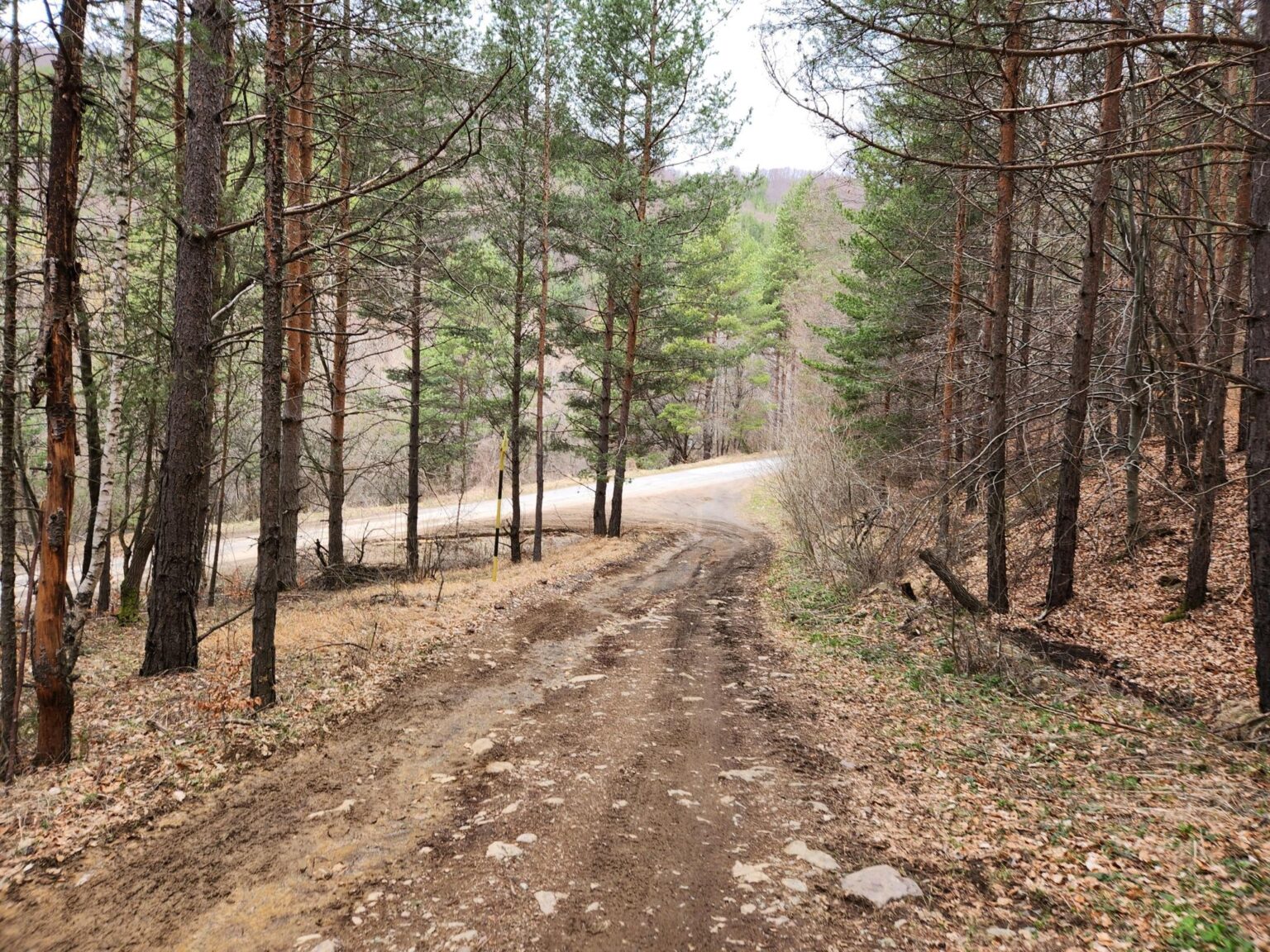
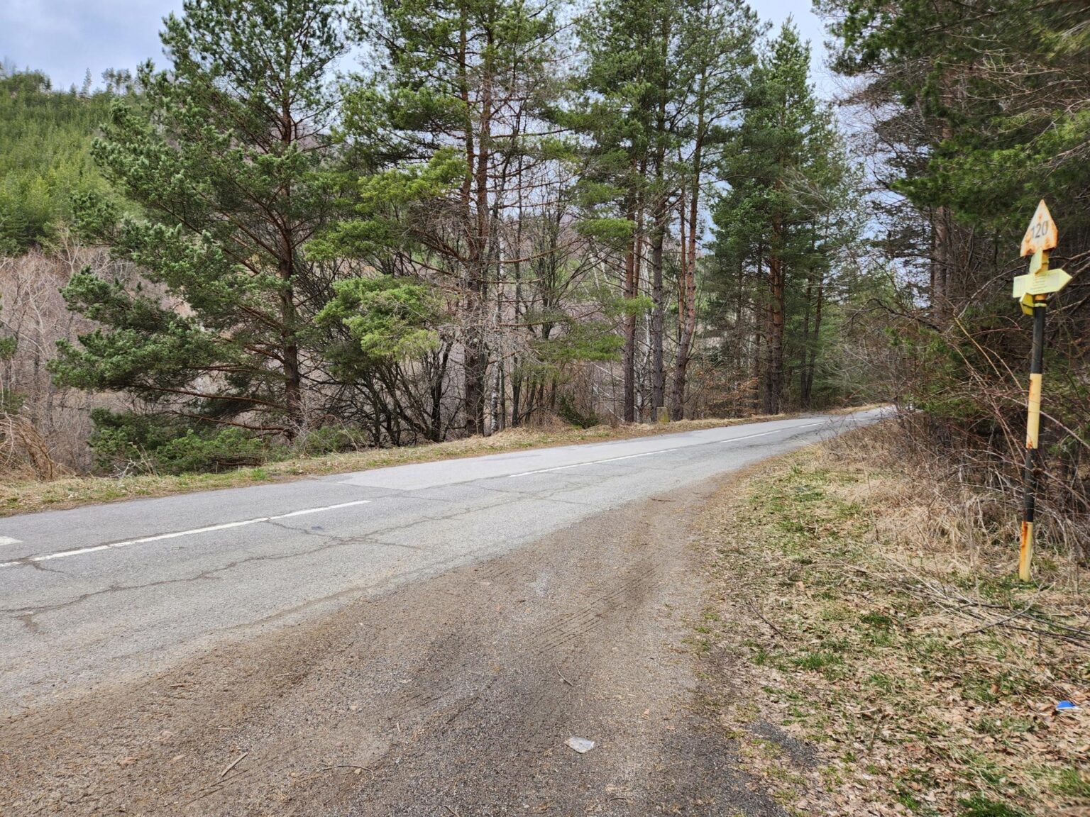
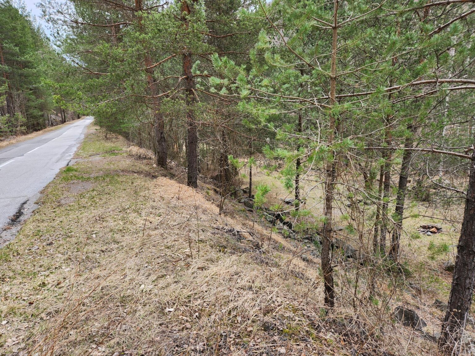
I won’t lie: this is the more main path, and there still wasn’t a single soul on it. Downhill, downhill, downhill. Nothing special or interesting. After roughly half an hour, you come out on the main asphalt road you drove along earlier. From there you have about ten more minutes on foot, and they’re endlessly tedious. There isn’t even a hill, yet somehow they feel harder than any of the climbs on the trail 😀
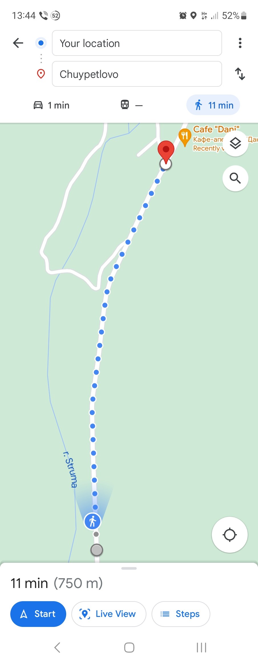
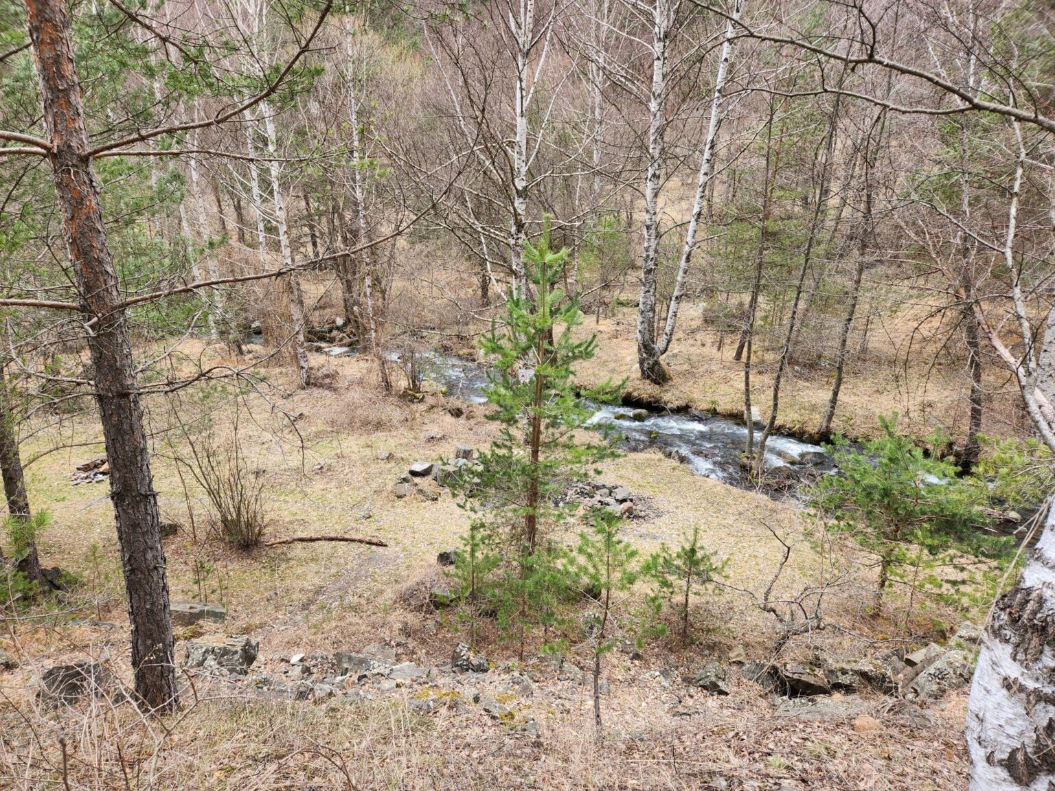
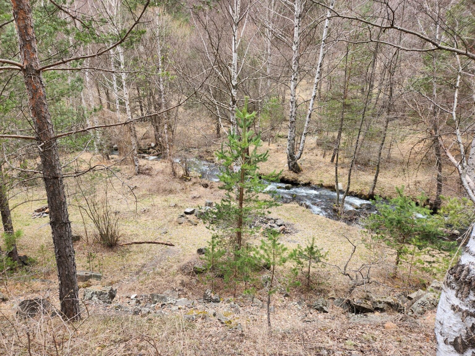
On the plus side, it’s very easy to turn off here and drop down to the banks of the Struma. It’s clear that people come here for picnics often.
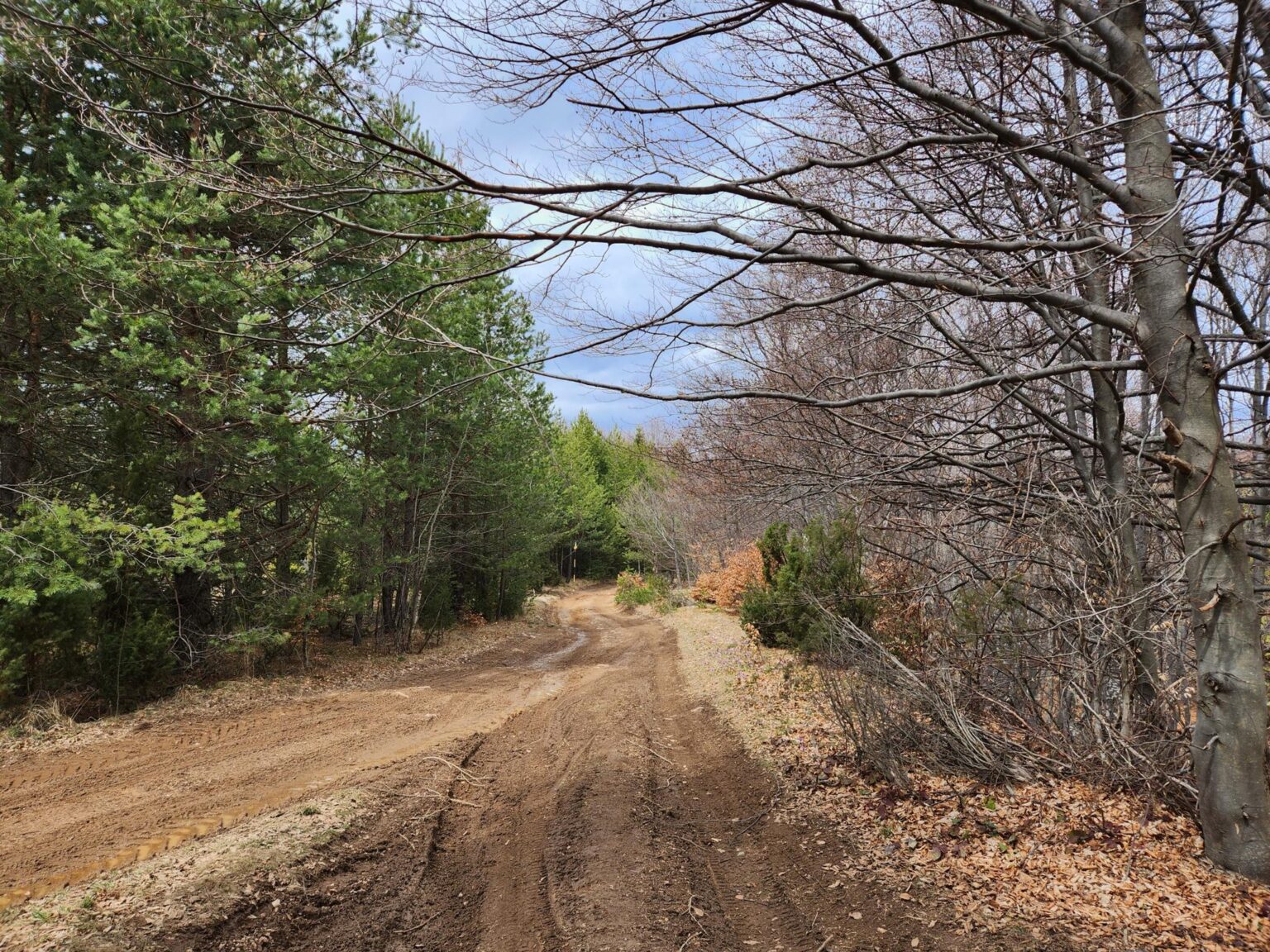
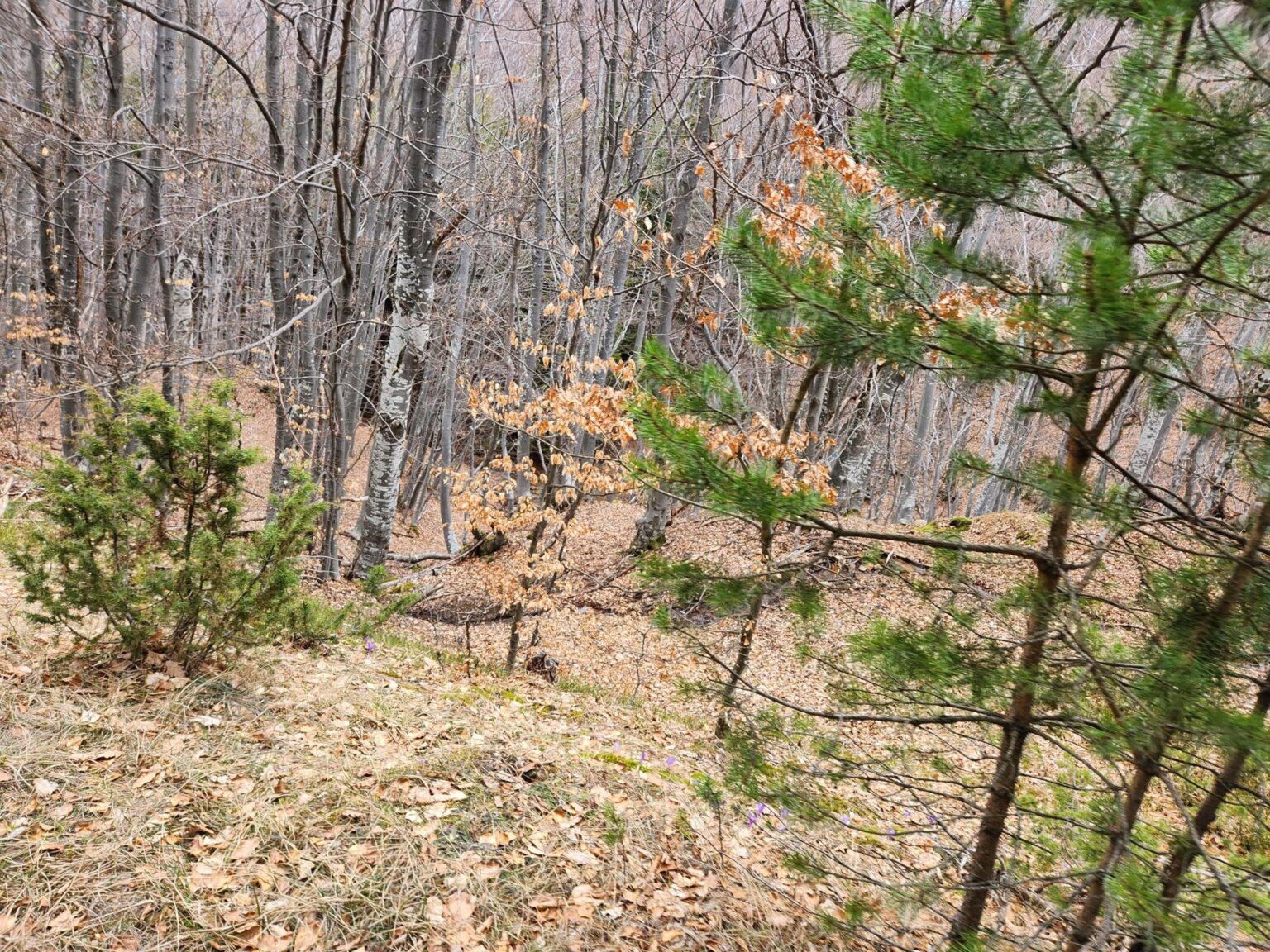
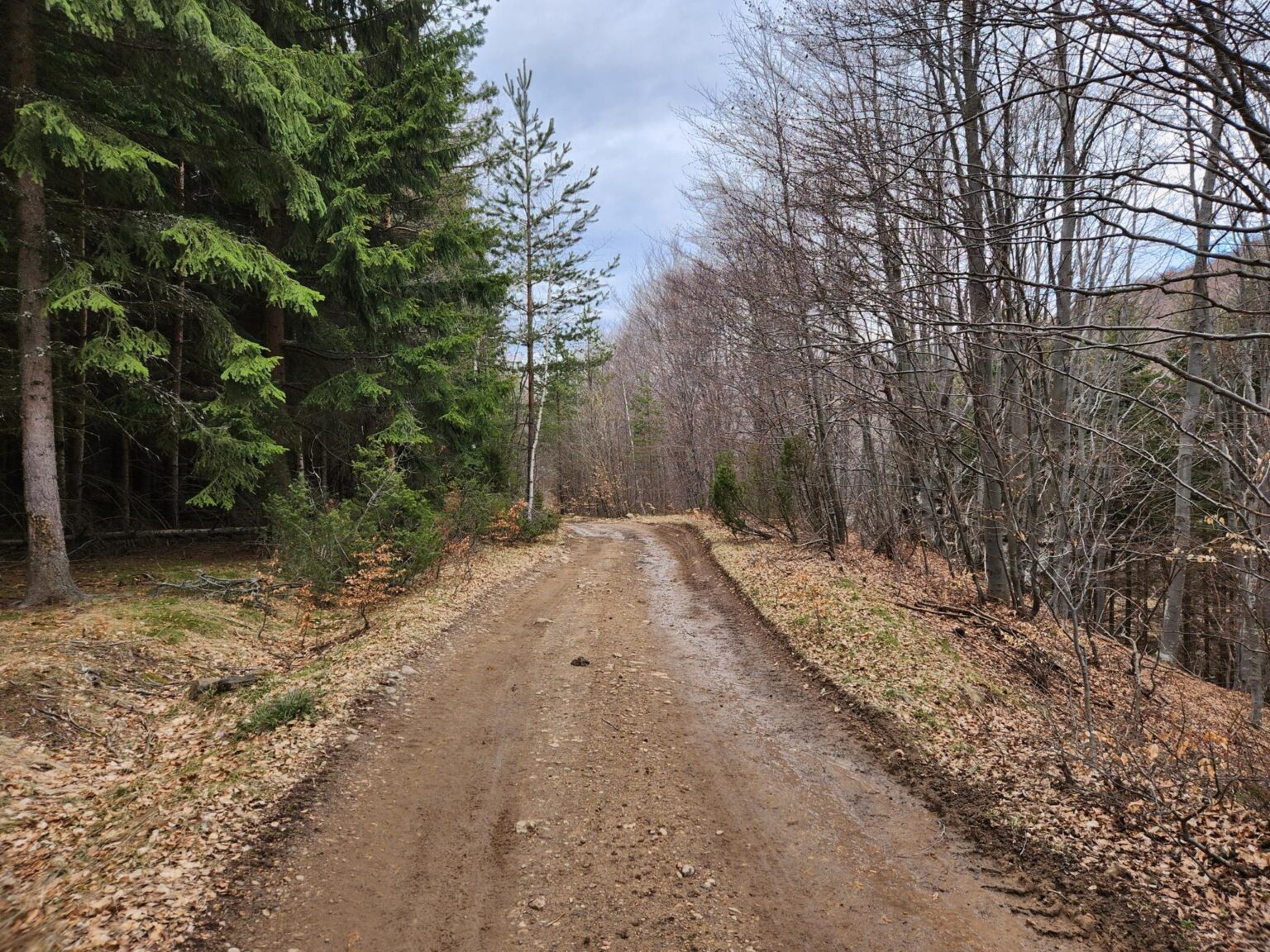
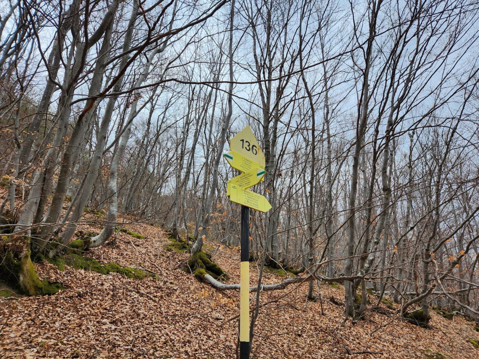
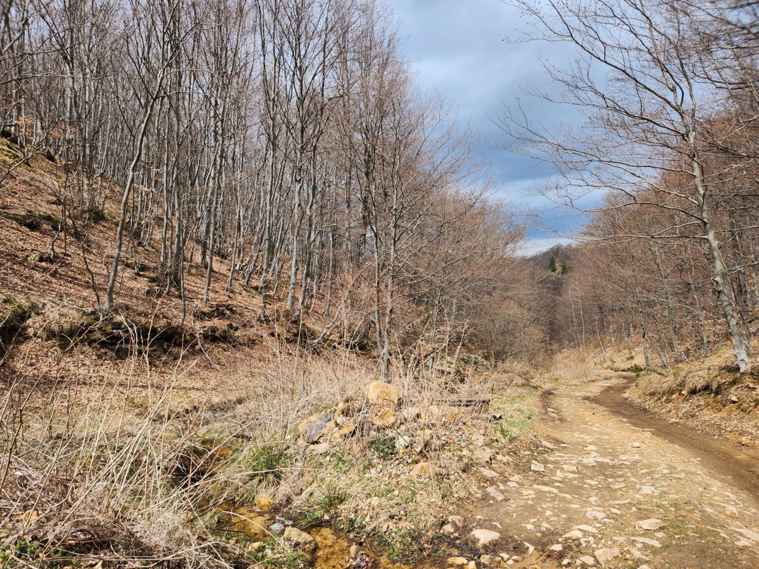
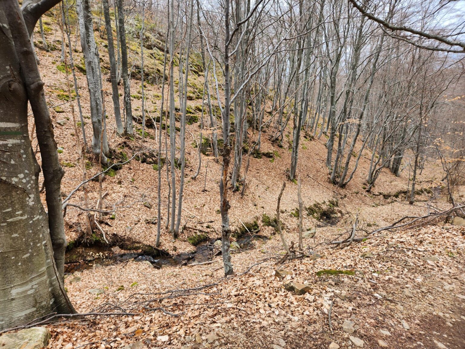
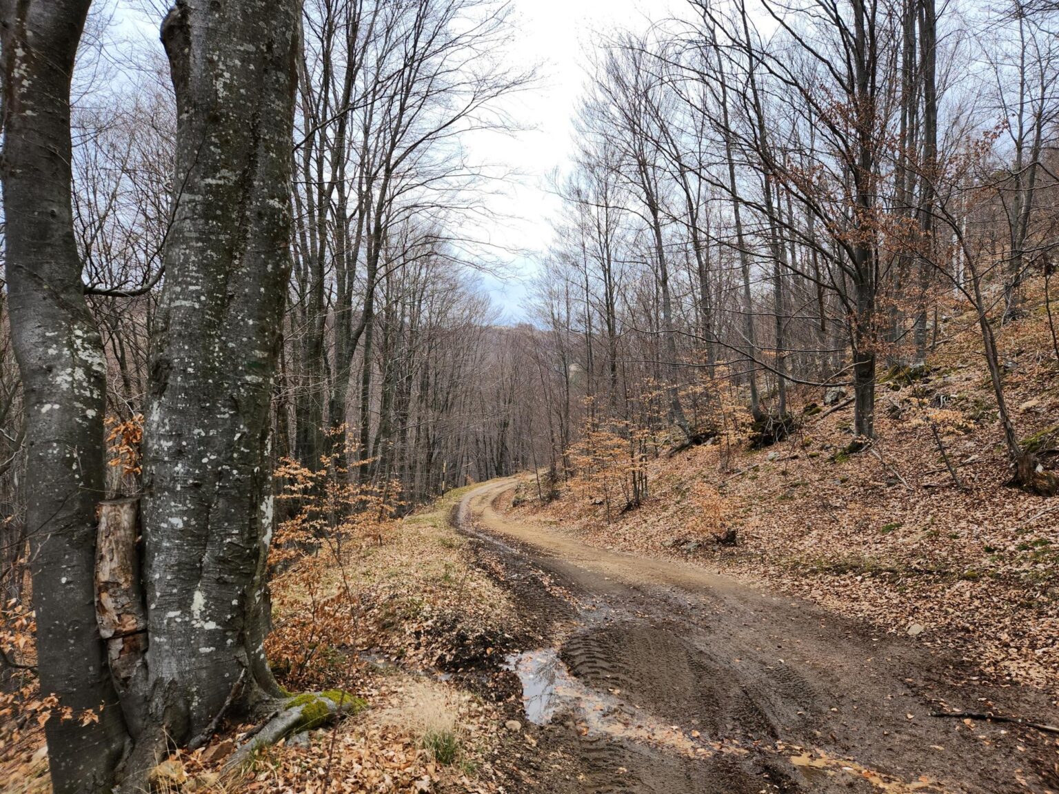
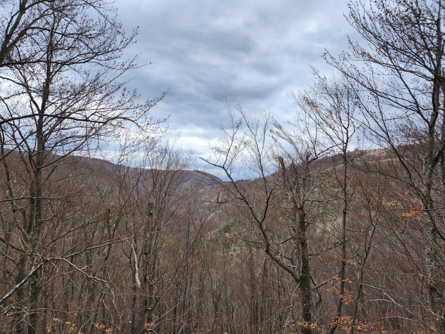
And that wraps up our two-hour walk.
How hard is it?
The elevation gain is 250 metres, spread evenly across the climb. There’s only one steeper section, and it lasts about 5 minutes. Even so, with small children it will probably be hard going.
In short
If you’re coming from Sofia, the trail is about 45 minutes from the centre. Bosnek is on the way and has a nice restaurant; I recommend stopping there on the way back to refuel. The walk itself takes about two hours, though of course you can stretch it into a whole day. You’re in the mountains, after all. If you’d like to mix things up, Pernik is fairly close. You can pop over for a coffee and a stroll along its main street and square.
And if you want more, feel free to steal another idea for a day trip from Sofia: the short but sweaty climb to Bozhenishki Urvich makes a good next one.
Gallery
The whole gallery in one place: